Mori Atlas logo
Nearby park discovery

Regional mapped geography and spatial distribution of nearby protected landscapes

Parks near Kayan Mentarang National Park

Compare protected areas near Kayan Mentarang National Park, ordered by geographic distance. They include Pulong Tau and Usun Apau.

Related tags

Tropical RainforestBorneoTransboundary Protected AreaDayak CultureMontane Forest

Vast Borneo highlands protecting the Heart of Borneo ecosystem

Kayan Mentarang National Park

Kayan Mentarang National Park is a densely forested protected area spanning over 13,600 square kilometers in the Indonesian province of North Kalimantan on the island of Borneo. Established in 1996, the park encompasses the legendary Mentarang mountain trails plateau known as Apau Kayan, a vast highland region that stretches from the Datadian area in the south through Apau Ping to Long Bawan in the north. The park sits at the border between Indonesia and Malaysia, forming a critical corridor within the Heart of Borneo transboundary conservation initiative that unites Indonesia, Malaysia, and Brunei in protecting one of the world's most biodiverse tropical forest landscapes. This immense park represents one of the largest continuous stretches of primary forest remaining in Southeast Asia, sheltering remarkable biodiversity across its montane, lowland, and riverine habitats.

Location
Indonesia
Park type
National park
Established
1996
Area
13,605 km²
Kayan Mentarang National Park Atlas
Regional park map

See the ranked park cluster in its geographic setting

Nearby parks around Kayan Mentarang National Park

This regional map shows the same 19 nearby parks ranked below around Kayan Mentarang National Park. Select a ranked marker to highlight that park’s boundary where boundary data is available.
Reference park: Kayan Mentarang National ParkRanked nearby parkSelected boundary: Kayan Mentarang National Park19 nearby parks shown
19 nearby parks

Distance ranked collection and regional park geography surrounding the Borneo highland border

Parks and Protected Areas Geographically Near Kayan Mentarang National Park

Examine the ranked collection of nearby protected areas evaluated through geographic separation, directional orientation, and country context relative to Kayan Mentarang National Park. Compare recorded environmental characteristics and surrounding landscape patterns to understand broader conservation connectivity across the region.
National parkLimbang Division
About 27 km away#1 closest

Northwest

Pulong Tau National Park: A Protected National Park in Malaysia's Limbang Division

Explore its mapped boundaries and regional landscape context.

Pulong Tau National Park represents a key protected area within the Limbang Division, offering valuable geographic and atlas-based discovery opportunities. This page details the park's identity as a national park, focusing on its mapped boundaries and its role within the protected landscapes of Malaysia. Users can explore the park's specific geographic characteristics and understand its context within the regional atlas, providing a factual foundation for appreciating its natural landscape value.

Area
665.25 km²
Established
1998
IUCN
II
Relief
Mountain
A digital illustration of a waterfall flowing down a rocky canyon surrounded by dense evergreen forests with a soft rainbow visible at the base and a warm, pale sky.
National parkMiri Division
About 54 km away#2 closest

West

Usun Apau National Park: National Park with Regional Geographic Context in Miri Division

Explore protected boundaries and mapped landscape details.

Usun Apau National Park represents a distinct protected landscape within the Miri Division, identified as a national park. This entry focuses on its geographic attributes, including its mapped boundaries and its contribution to the regional protected area network. Users can explore Usun Apau National Park to understand its specific role in the geography of Miri Division and to gain context on Malaysia's conservation landscapes.

Area
471.22 km²
Established
2005
IUCN
II
Relief
Mountain
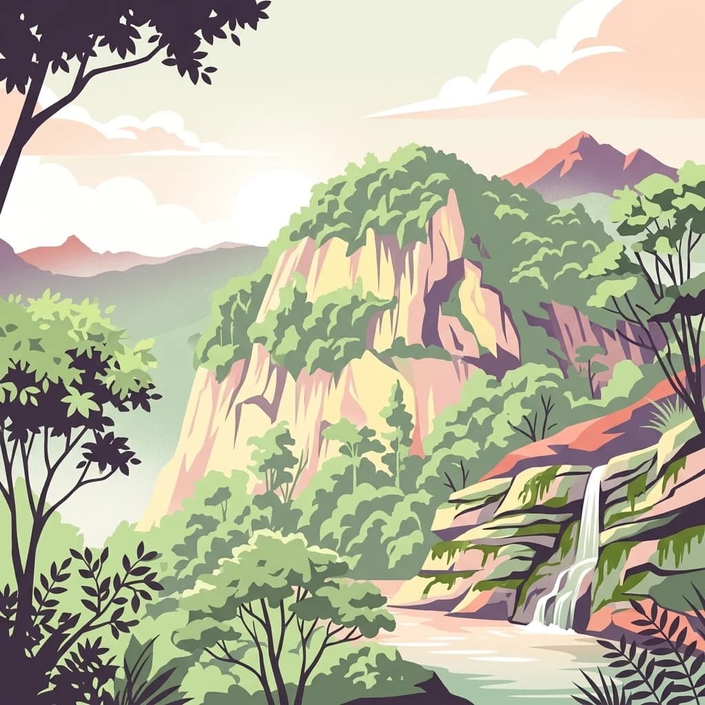
An illustration showing a tropical rainforest with a waterfall cascading over rocky cliffs into a stream below, framed by lush foliage and mountain peaks in the distance.
National parkMarudi District
63 km away#3 closest

Northwest

Gunung Mulu National Park

Explore its mapped protected area and regional landscape.

Gunung Mulu National Park, in Marudi District, Malaysia. Landscapes: mountains, valleys, and cliffs.

Area
528.64 km²
Established
1974
IUCN
II
Relief
Mountain
An illustrative depiction of a tropical riverbank in a dense rainforest at sunrise, featuring green foliage, calm water, and long wooden boats.
National parkBrunei
About 63 km away#4 closest

North

Ulu Temburong National Park: Brunei's Protected Rainforest Landscape and Geographic Context

Mapped natural terrain and conservation significance.

Ulu Temburong National Park represents Brunei's commitment to preserving its most ecologically significant tropical rainforests, covering approximately 550 square kilometers. This protected area is characterized by its remote location in the Temburong District and its diverse topography, ranging from lowland areas to mountainous ridges, all within a largely undisturbed natural setting. The park's mapped boundaries encompass a vital transboundary conservation landscape, making it a key site for understanding Borneo's unique ecosystems and forest protection policies through an atlas-driven exploration approach.

Area
488.59 km²
Established
1991
IUCN
II
Relief
Mixed relief
National parkSarawak
About 76 km away#5 closest

Northwest

Gunung Buda National Park: Sarawak National Park Protected Landscape and Geography

Explore the mapped boundaries and regional context of this Malaysian national park.

Gunung Buda National Park is a significant protected area within Sarawak, Malaysia, contributing to the region's diverse geography. As a national park, it offers specific insights into mapped protected lands, providing a focal point for understanding Borneo's natural landscapes. This entry details its geographic identity and its role as a protected natural space, crucial for any atlas-driven exploration of East Malaysia's conservation areas.

Area
66.2 km²
Established
2001
IUCN
II
Relief
Mountain
Nature reserveTemburong District
About 85 km away#6 closest

North

Peradayan Forest Reserve Nature Reserve: Understanding its Protected Landscape and Geographic Setting

Explore mapped boundaries and the natural terrain of this Brunei reserve.

Peradayan Forest Reserve stands as a significant protected natural area within Brunei's Temburong District, an exclave characterized by vast tropical rainforests. This entry focuses on its identity as a nature reserve, providing key geographic context and details about its mapped boundaries. Understand its role within the regional landscape and how its protected status contributes to the conservation of Brunei's natural heritage, facilitating a deeper dive into atlas-style geographic exploration.

Area
26.5 km²
Relief
Upland
Climate
Tropical
Access
Moderate access
Digital illustration of undulating, multi-layered hills and mountains in shades of green, yellow, and soft pink, with stylized trees in the foreground.
National parkWest Kalimantan
95 km away#7 closest

Southwest

Betung Kerihun National Park: West Kalimantan's National Park Geography and Mapped Boundaries

Explore protected area landscape context in Indonesia.

Betung Kerihun National Park is a significant protected area within West Kalimantan, Indonesia, identified as a national park. This entry provides detailed atlas-style exploration of its mapped geographic boundaries and landscape context. Understand its place within the regional geography and the broader network of protected lands, offering a foundation for appreciating its natural setting.

Area
8,000 km²
Established
1995
IUCN
II
Relief
Mountain
A stylized illustration of a tall waterfall plunging into a pool surrounded by dense, layered tropical vegetation and tiered rock cliffs.
Nature reserveSabah
About 105 km away#8 closest

Northeast

Maliau Basin Nature Reserve: Geographic Overview and Protected Landscape Mapping

Sandstone escarpments and river drainage in Sabah, Malaysia

Explore the structural geography of Maliau Basin, a prominent nature reserve in Sabah. This protected area is defined by its massive sandstone depression, multi-tiered waterfalls, and expansive primary forest coverage. Examine the watershed dynamics of the Maliau River and the mountainous terrain that isolates this significant wilderness from surrounding lowland regions.

Area
588 km²
Established
1981
IUCN
Ia
Water
Major water bodies
Protected areaBrunei
About 122 km away#9 closest

Northwest

Tasek Merimbun Heritage Park: Protected Landscape Identity and Geographic Atlas

Mapped boundaries and regional natural context for this Brunei protected area.

Tasek Merimbun Heritage Park represents a distinct protected area within the geography of Brunei. This page provides detailed insight into its protected landscape, offering a map-centric view of its boundaries and its placement within the broader natural context of Borneo. Understand the park's geographic significance and explore its unique attributes for structured atlas exploration.

Area
78 km²
Established
1984
Climate
Tropical
Access
Easy access
Protected areaBrunei-Muara District
About 126 km away#10 closest

North

Bukit Shahbandar Forest Recreation Park: Protected Area with Ridge Landscape & Hiking Trails

Explore Brunei's unique recreational forest terrain and mapped natural features.

Bukit Shahbandar Forest Recreation Park is a notable protected area within the Brunei-Muara District, distinguished by its prominent grassy ridge and a network of challenging hiking trails that traverse its varied terrain. The park's landscape is characterized by rolling hills, including peaks that reach nearly 470 feet, offering strategic vantage points. As a recreational forest, it provides a distinct example of protected land use, blending modified natural vegetation with opportunities for outdoor activity and geographic discovery. Its unique topography and trail system offer a clear focus for atlas-based exploration.

Area
2.34 km²
Established
1998
IUCN
II
Visitors
35.5K annual
A stylized vector illustration of a mountain range with layers of lush green rainforest, mist, and distant peaks under a soft, pastel-colored sky.
National parkMalaysia
About 128 km away#11 closest

North

Crocker Range National Park: A Protected Landscape within Malaysia's Borneo Region

Mapped boundaries and regional geography context for exploration.

Crocker Range National Park represents a significant protected area within Malaysia, contributing distinct geographic features and landscape context to the Borneo region. This detailed view supports atlas exploration by outlining the park's mapped boundaries and its role within the nation's protected lands. Understand the park's specific location and geographic identity, enriching your comprehension of Malaysian natural landscapes and conservation areas.

Area
1,399 km²
Established
1984
IUCN
II
Relief
Mountain
Digital illustration of a wooden boardwalk extending over a freshwater swamp surrounded by a dense forest, set under a soft, golden sky.
Nature reserveBrunei
About 137 km away#12 closest

Northwest

Luagan Lalak Forest Recreation Park Nature Reserve: Brunei's Pristine Freshwater Swamp Landscape

Explore mapped protected-area geography and unique wetland terrain.

Luagan Lalak Forest Recreation Park, a protected nature reserve in Brunei, preserves a rare and visually distinctive freshwater swamp ecosystem. Characterized by dark, tranquil waters and vast fields of purun grass, this natural wetland offers a unique landscape context and is a prime location for observing its rich biodiversity, especially its notable birdlife. The park's preservation as an intact swamp environment within a recreational area highlights its ecological importance for regional geography and protected-area mapping.

Area
2.7 km²
Established
1980
IUCN
II
Visitors
4.2K annual
National parkSarawak
About 140 km away#13 closest

Northwest

Loagan Bunut National Park: Protected Landscape in Sarawak, Malaysia

Explore the mapped geography and natural terrain of this national park.

This page offers a detailed atlas-style exploration of Loagan Bunut National Park, situated in Sarawak, Malaysia. Understand the park's designation as a national park and its place within the mapped geography of Borneo. It provides essential context for appreciating the protected landscape and its regional significance.

Area
100 km²
Established
1990
IUCN
II
Scope
Terrestrial
A flat vector-style illustration of a sandy beach meeting a calm ocean with a long wooden pier and a gazebo extending into the water. Fallen tree limbs rest on the sand in the foreground, with lush tropical trees along the shoreline and soft clouds in the sunset-toned sky.
National parkMalaysia
About 149 km away#14 closest

North

Pulau Tiga National Park: A Protected Landscape within Malaysia's Geographic Context

Discover its mapped boundaries and regional natural terrain.

Pulau Tiga National Park stands as a distinct protected area, offering valuable insights into Malaysia's varied geography. This detail page is designed for structured discovery, highlighting the park's specific mapped boundaries and its contribution to the regional landscape context. Users exploring this national park will find a focused entry into understanding its protected status and its place within the atlas of Southeast Asian natural wonders.

Area
158 km²
Established
1978
IUCN
II
Relief
Lowland
A stylized digital illustration of a vertical waterfall cascading over rocky cliffs into a pool, surrounded by dense tropical foliage, ferns, and hanging vines.
National parkSarawak
About 173 km away#15 closest

Northwest

Lambir Hills National Park: Sarawak's National Park Landscape and Geographic Discovery

Explore the mapped terrain and protected boundaries within Sarawak.

Investigate Lambir Hills National Park, a protected national park in Sarawak, Malaysia. This page provides essential geographic context and details its protected landscape identity. Understand its role within the Borneo region's atlas, offering users a deep dive into its mapped terrain and specific regional geography. Discover a key piece of Malaysia's natural protected areas with focused atlas-style information.

Area
69.52 km²
Established
1975
IUCN
II
Relief
Lowland
A digital illustration of a tropical island landscape with lush green jungle vegetation framing a turquoise beach and calm sea, with small islands visible in the distance under a pastel-colored sky.
National parkSabah
About 174 km away#16 closest

North

Tunku Abdul Rahman National Park: Sabah National Park Protected Landscape & Geography

Explore mapped boundaries and regional context.

Tunku Abdul Rahman National Park, designated as a national park, offers a specific focus on protected landscape exploration within Sabah. This entity details its geographic footprint and its significance as a mapped natural area. Understanding its role within the regional geography allows for a more complete exploration of Malaysia's protected lands through an atlas perspective.

Area
49 km²
Established
1974
IUCN
II
Relief
Mixed relief
Nature reserveSabah
About 177 km away#17 closest

North

Kota Kinabalu Wetland Centre: Protected Mangrove Landscapes in Sabah, Malaysia

An urban nature reserve and critical coastal wetland site

The Kota Kinabalu Wetland Centre stands as a preserved coastal mangrove fragment within the urban sprawl of Sabah's capital. This nature reserve provides a vital link between land and sea, offering a 1.5-kilometre boardwalk that allows for the observation of migratory bird populations and tidal mudflat ecosystems. As a designated Ramsar wetland, the site demonstrates the importance of small-scale conservation within fast-growing regional capital cities.

Area
0.24 km²
Established
1986
Relief
Lowland
Climate
Tropical
Watercolor illustration of a landscape with green hills, trees, and a valley
National parkSarawak
About 182 km away#18 closest

West

Niah National Park: Sarawak's Protected National Park Geography and Mapped Landscape

Explore protected area boundaries and regional context within Sarawak

Niah National Park represents a significant protected national park, offering a distinct geographic and landscape identity within Sarawak, Malaysia. This resource facilitates the exploration of its mapped boundaries and its place within the regional atlas of Borneo. Users can delve into the specific geography of this protected area, understanding its landscape characteristics and its contribution to the broader conservation mapping of the region.

Established
1974
Relief
Mountain
Access
Moderate access
Scope
Terrestrial
A soft watercolor painting of a winding river flowing through a lush, misty green forest under pale hills.
Wildlife reserveSabah
About 182 km away#19 closest

Northeast

Danum Valley Conservation Area: Protected Lowland Rainforest Geography in Sabah

Examining the boundaries and terrain of this Bornean wildlife reserve

Danum Valley Conservation Area serves as a primary site for understanding undisturbed lowland dipterocarp forest in Borneo. This wildlife reserve features a complex bowl shaped basin of rivers, ridges, and dense tropical canopy. Access geographic maps and site data to understand the structural integrity of this protected region located within the state of Sabah.

Area
438 km²
Established
1980
IUCN
Ia
Relief
Highland
Distance methodology

Geographic measurements, not driving distances

How nearby park distances are calculated

Distances use park boundaries whenever the available geometry allows it. When one or both boundaries are missing, the mapped park locations provide a clearly labelled estimate. Every value represents straight-line geographic separation and does not use roads or routing.

Boundary distance

Calculated between the nearest points of both park boundaries.

Location-to-boundary estimate

Estimated from one mapped park location to the nearest boundary of the other park.

Mapped-location estimate

Estimated between the mapped locations of both parks.

MoriAtlas Explorer

Kayan Mentarang National Park

Explore the map, landscapes, and protection details for Kayan Mentarang National Park.

Global natural geography