North
Amboseli National Park
Mapped geographic context and protected area boundaries.
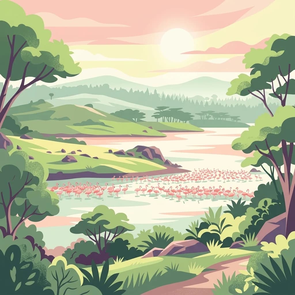
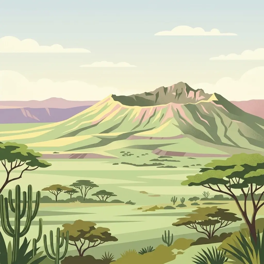
Amboseli National Park, in Kenya. Landscapes: wetlands, lakes, and grasslands.
- Area
- 392 km²
- Established
- 1974
- IUCN
- II
- Visitors
- 120K annual
Mapping the regional proximity of national parks and conservation areas in Tanzania
Compare protected areas near Kilimanjaro National Park, ordered by geographic distance. They include Amboseli and Tsavo West.

Africa's highest mountain and a UNESCO World Heritage Site
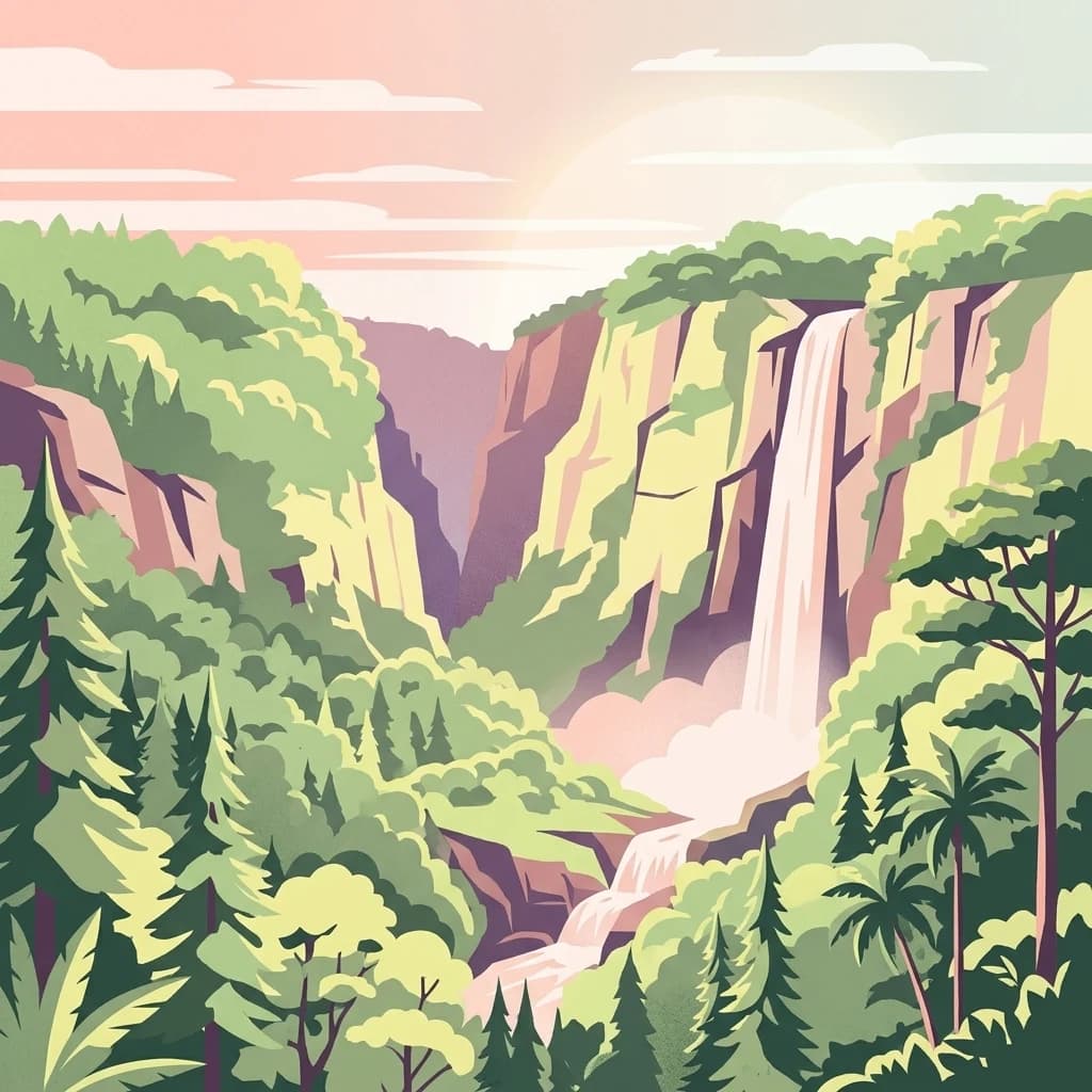
Kilimanjaro National Park protects Africa’s tallest mountain and its surrounding ecosystems in northern Tanzania. The park encompasses Mount Kilimanjaro above the tree line and the montane forest belt that surrounds it, spanning approximately 1,688 square kilometers near the town of Moshi in the Kilimanjaro Region. The mountain rises dramatically from the surrounding savanna to its snowy summit at 5,895 meters, making it one of the world’s most prominent freestanding mountains and a symbol of the African continent. The park was established in 1973 and was designated a UNESCO World Heritage Site in 1987, recognizing its outstanding natural value and ecological significance. It supports a remarkable vertical gradient of ecosystems, from montane forest through heath and moorland to alpine desert and summit glaciers.
See the ranked park cluster in its geographic setting
Ranked regional park geography and surrounding protected landscapes

North
Mapped geographic context and protected area boundaries.
Amboseli National Park, in Kenya. Landscapes: wetlands, lakes, and grasslands.

Southeast
Explore mapped boundaries and natural landscapes in Taita-Taveta County.
Tsavo West National Park offers a focused exploration of protected landscape and regional geography within Kenya. Discover the mapped extent of this national park, understanding its role as a conservation area in Taita-Taveta County. This entry provides key geographic context and atlas-style information, highlighting the natural terrain and protected boundaries for detailed discovery.

West
Explore its mapped boundaries and regional geography.
Arusha National Park, in Arusha Region, Tanzania. Landscapes: mountains, valleys, and cliffs.

Northeast
Explore its mapped boundaries and regional park context.
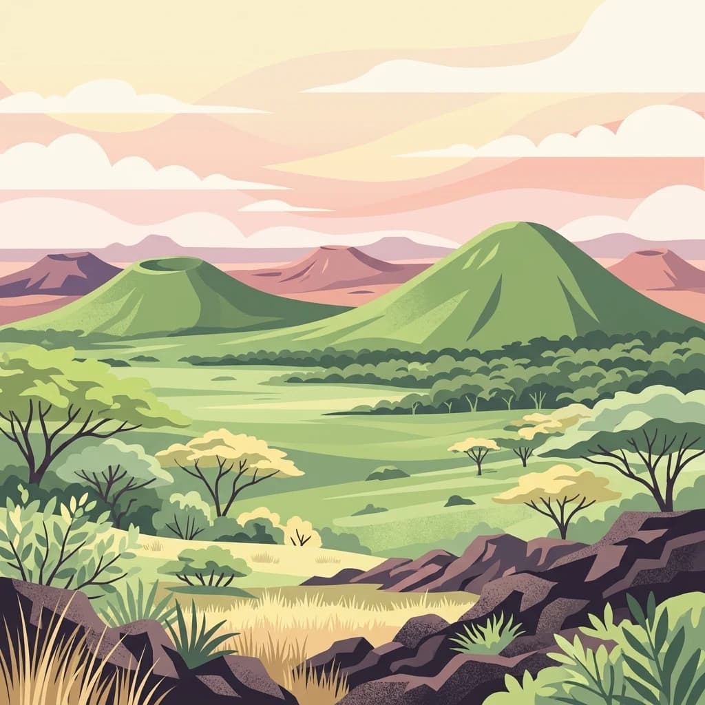
Delve into the protected lands of Chyulu Hills National Park, a key national park situated within Kenya's expansive geographic tapestry. This resource provides detailed insights into the park's mapped boundaries, its specific terrain characteristics, and its overall contribution to the regional atlas. Understand its role as a protected area contributing to the diverse natural landscapes of East Africa.

Southeast
Explore its mapped terrain and conservation significance within East Africa.
Mkomazi National Park, in Tanzania. Landscapes: forests, woodlands, and grasslands.
East
Explore mapped boundaries and regional park geography.
Tsavo East National Park in Kenya offers a rich entry point for understanding protected landscapes and regional geography. As a designated national park, its mapped boundaries and natural terrain provide essential context for geographic exploration within East Africa. This page serves as a focused discovery point for the park's specific environmental attributes and its role in the broader atlas of protected areas.

West
Unique habitats from groundwater forests to alkaline lake shores.
Lake Manyara National Park, in Arusha Region, Tanzania. Landscapes: lakes, wetlands, and forests.

Southwest
National park geography in Manyara Region, Tanzania
Tarangire National Park stands as a core protected area within Tanzania's Manyara Region, offering a deep dive into its specific geographic attributes and mapped boundaries. This page provides essential atlas context for understanding the park's landscape character and its placement within the regional geography. Focus on the park's protected status and its unique natural terrain, providing a factual basis for geographic discovery and research.

North
Explore the mapped boundaries and regional context of this Kenyan national park.
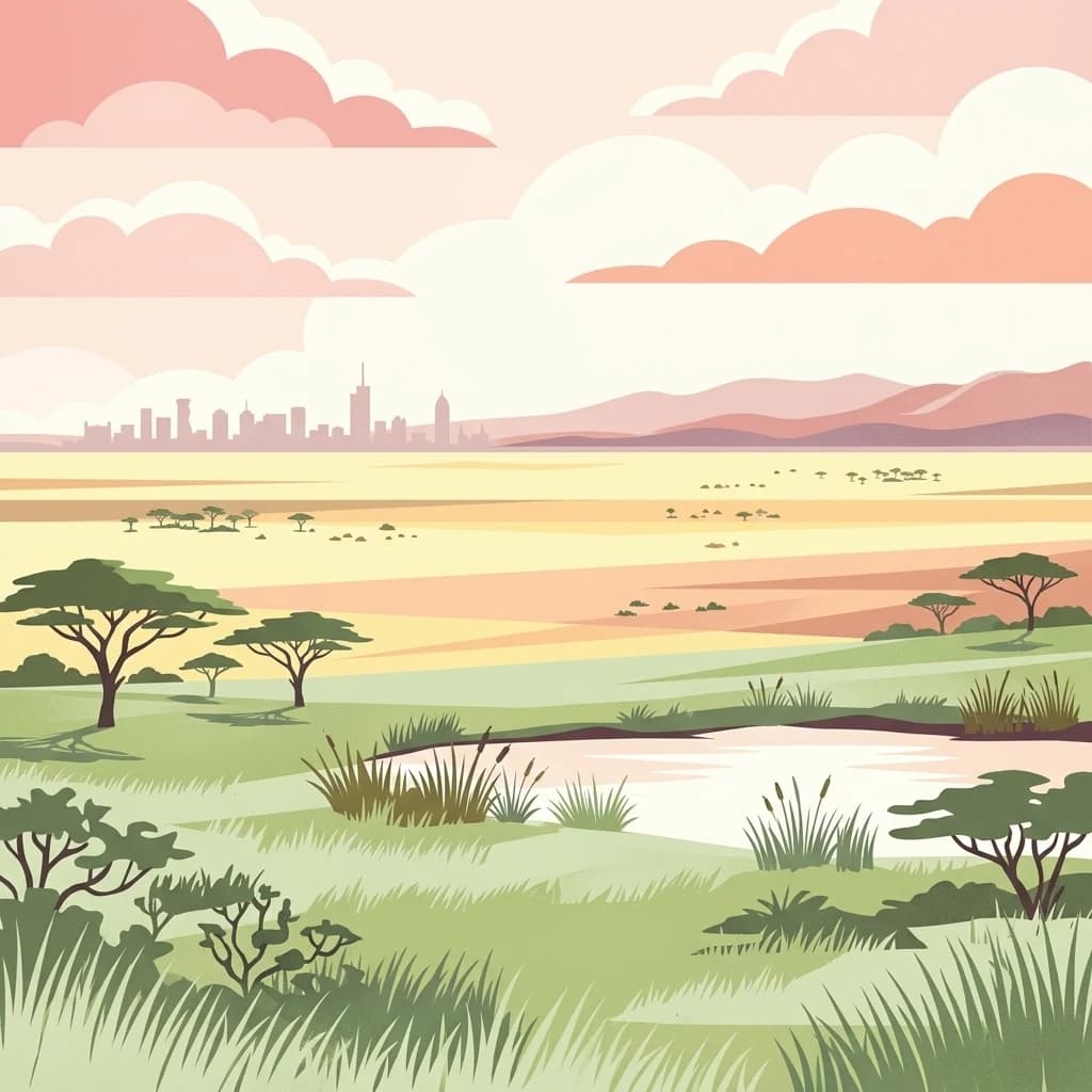
Nairobi National Park, in Kenya. Landscapes: grasslands, forests, and woodlands.
North
Mapped National Park boundaries and montane forest geography.
Ol Donyo Sabuk National Park represents a vital protected natural area situated in Kenya's central highlands. Its landscape is dominated by a striking volcanic peak, offering a unique montane forest environment and significant primate habitat. This entry provides essential details for atlas exploration, focusing on the park's geographic placement, its protected landscape features, and the ecological context it represents within Kenya's protected areas system.

West
Explore savanna grasslands, regional geography, and mapped park boundaries.
Serengeti National Park, a significant national park within Tanzania's Mara Region, offers an unparalleled view into a vast protected landscape. This page provides access to the park's geographic identity, its defining savanna ecosystem, and its role as a critical component of the regional atlas. Understand the mapped extent of its protected boundaries and the unique natural context that supports its renowned wildlife.

Northwest
Discover the natural terrain and park boundaries.
Mount Longonot National Park serves as a vital protected area within Kenya, offering a focused lens for geographical exploration. This national park's defined landscape and mapped boundaries provide essential context for understanding its place in the broader regional geography. Ideal for users seeking detailed information on protected territories, Mount Longonot National Park offers insights into Kenya's natural heritage through an atlas-centric approach.

Northwest
Discover Nakuru County's protected terrain and geographic context.
Explore the mapped boundaries and unique geographic identity of Hell's Gate National Park, a protected national park within Kenya's Nakuru County. This detailed atlas view focuses on the park's natural landscape and its place within the regional geography, offering structured discovery of its protected terrain and surrounding context. Understand the visual and geographic essence of this significant conservation area.

East
Mapped protected area within Kenya's coastal region.
Arabuko Sokoke National Park is identified as a protected national park situated within the historical Coast Province of Kenya. This entry offers a focused examination of its protected landscape and geographic significance, contributing to a structured atlas of protected areas. Users can explore the park's mapped boundaries and its positioning within the regional geography, providing essential context for understanding this natural landscape.
East
Kenya Indian Ocean marine and wetland habitat
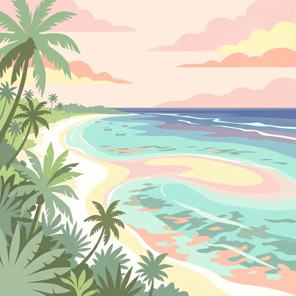
Analyze the protected landscape of Malindi-Watamu, covering coral reefs, tidal sandflats, and mangrove forests along the Kenyan coastline. This area serves as a significant biosphere reserve, integrating marine conservation with complex intertidal geography and seasonal seabird habitats within its protected boundaries.

Southeast
Mapped coral reefs and diverse marine ecosystems.
As Kenya's foremost marine national park, Kisite-Mpunguti Marine National Park presents an unparalleled opportunity to explore a thriving underwater world. Its protected boundaries encompass remarkable coral formations and a rich tapestry of marine species, including diverse fish populations, sea turtles, and dolphins. This park is a cornerstone of coastal conservation, offering valuable insights into marine geography and ecosystem health for those seeking detailed landscape context.

East
Mapped protected area within the East African regional geography.
This detail page offers an in-depth look at Mombasa Marine Park, a designated national park in Kenya. It focuses on its protected landscape identity, mapped boundaries, and its place within the regional geography of East Africa. Users seeking structured atlas information and context for protected natural areas will find detailed geographic data here.
East
Explore mapped boundaries and regional geography.
Watamu Marine National Park represents a crucial marine protected area situated on Kenya's coastline, contributing significantly to the country's conservation landscape. This designation underscores its role in preserving coastal and underwater geography, making it a key entity for atlas exploration of protected marine environments. Understanding its specific geographic scope and mapped protected boundaries is essential for comprehending Kenya's broader environmental atlas.

North
National Park Geography and Atlas Context
Aberdare National Park is a protected national park located within Nyeri County, Kenya. This entry offers detailed geographic information and map context, highlighting its protected boundaries and landscape characteristics. Users can explore its regional setting, understand its specific terrain features, and discover its significance as a conservation area within the Kenyan geography. Access structured data that clarifies the park's identity as a vital protected landscape.

East
Explore mapped marine geography and protected landscape context.
Malindi Marine National Park is a protected national park situated along Kenya's coast, contributing to the nation's atlas of conservation landscapes. This entry details the park's specific geographic identity, its mapped boundaries, and its role as a protected marine environment. Engage with its regional context and understand how its protected status shapes its unique landscape for a deeper geographic appreciation.
Geographic measurements, not driving distances
Calculated between the nearest points of both park boundaries.
Estimated from one mapped park location to the nearest boundary of the other park.
Estimated between the mapped locations of both parks.
Explore the map, landscapes, and protection details for Kilimanjaro National Park.