Mori Atlas logo
Nearby park discovery

Explore the regional geography and spatial distribution of protected natural areas.

National Parks and Protected Landscapes Situated Near Kismayo National Park in Southern Somalia

Investigate the surrounding protected savanna and coastal woodland environments within the Lower Juba region. This geographic collection traces the landscape context of Kismayo National Park and its neighbouring wilderness areas, providing a detailed perspective on the distribution of conservation zones across the southern Somali terrain.

Related tags

national parkcoastal savannawildlife conservationSomaliaJuba Valley

Coastal savanna wilderness in southern Somalia protecting indigenous wildlife

Kismayo National Park

Kismayo National Park is a protected wilderness area located in the Lower Juba region of southern Somalia, approximately 17 kilometers inland from the coastal city of Kismayo. Established as an IUCN Category II national park, the reserve encompasses a stretch of coastal savanna and woodland habitat that supports a diverse community of indigenous African wildlife. The park serves as an important conservation area in a region where natural habitats face pressure from human activity, climate variability, and historical conflict. While the park's infrastructure has been affected by Somalia's prolonged period of instability, the protected area maintains ecological significance as a refuge for species adapted to the Juba Valley environment. The reserve is also known by its local name, Haabar Waalid, reflecting its cultural roots in the region.

Location
Somalia
Park type
National park
Kismayo National Park Protected Area
Regional park map

See the ranked park cluster in its geographic setting

Nearby parks around Kismayo National Park

This regional map shows the same 19 nearby parks ranked below around Kismayo National Park. Select a ranked marker to highlight that park’s boundary where boundary data is available.
Reference park: Kismayo National ParkRanked nearby park19 nearby parks shown
19 nearby parks

Distance-ranked collection examining surrounding regional park geography and protected landscapes

Parks and Protected Areas Geographically Near Kismayo National Park

Geographic separation metrics rank surrounding protected areas by linear proximity to Kismayo National Park, establishing a structured comparative index of regional terrain. Country context and recorded environmental characteristics help evaluate neighboring conservation spaces across the surrounding landscape without implying shared ecological zones.
National parkLower Juba
About 156 km away#1 closest

Southwest

Lag Badana National Park National Park: Mapped Geography and Protected Landscape Context

Explore the distinct geographic identity of this protected national park.

Lag Badana National Park is a designated national park within the Lower Juba region, offering a focused look at protected landscapes and regional geography. This entry provides an atlas-oriented perspective on the park's mapped boundaries and its significance as a conservation area. Understand its place within the broader geographic context of Somalia through its defined park lands.

Area
3,340 km²
IUCN
II
Climate
Tropical
Scope
Mixed
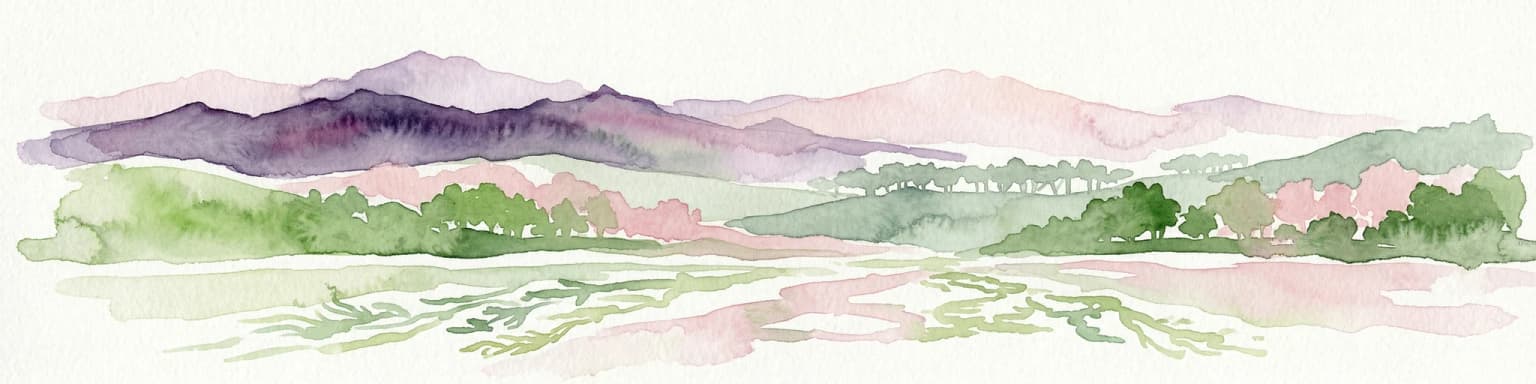
Watercolor painting showing a landscape with mountains in the background, green hills in the midground, and water or wetland in the foreground
National parkKenya
About 417 km away#2 closest

Southwest

Malindi Marine National Park: Kenya's National Park Atlas of Coastal Protected Lands

Explore mapped marine geography and protected landscape context.

Malindi Marine National Park is a protected national park situated along Kenya's coast, contributing to the nation's atlas of conservation landscapes. This entry details the park's specific geographic identity, its mapped boundaries, and its role as a protected marine environment. Engage with its regional context and understand how its protected status shapes its unique landscape for a deeper geographic appreciation.

Relief
Lowland
Climate
Tropical
Access
Access unknown
Scope
Marine
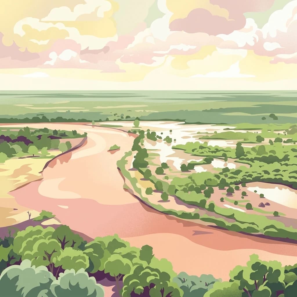
An illustrative depiction of a wide, winding river flowing through a dry, green, and bushy savanna landscape under a cloudy sky.
National parkTana River County
About 424 km away#3 closest

West

Kora National Park: A Unique Protected Landscape in Tana River County, Kenya

Explore its inselberg geography and mapped natural terrain.

Kora National Park represents a remarkable protected area characterized by its striking inselberg topography and semi-arid bushland, set against the backdrop of the Tana River. This national park in Tana River County offers a unique geographic profile, featuring massive granite formations that punctuate the expansive terrain. Discover the mapped boundaries and the distinctive landscape that make Kora National Park a significant entity for regional atlas exploration and understanding protected lands in eastern Africa.

Area
1,788 km²
Established
1989
IUCN
II
Relief
Mixed relief
Marine protected areaKenya
About 434 km away#4 closest

Southwest

Malindi-Watamu Marine Protected Area and Regional Coastal Geography

Kenya Indian Ocean marine and wetland habitat

Analyze the protected landscape of Malindi-Watamu, covering coral reefs, tidal sandflats, and mangrove forests along the Kenyan coastline. This area serves as a significant biosphere reserve, integrating marine conservation with complex intertidal geography and seasonal seabird habitats within its protected boundaries.

Area
245 km²
Relief
Lowland
Climate
Tropical
Scope
Marine
Marine protected areaKenya
About 436 km away#5 closest

Southwest

Watamu Marine National Park: Coastal Protected Marine Landscape in Kenya

Explore mapped boundaries and regional geography.

Watamu Marine National Park represents a crucial marine protected area situated on Kenya's coastline, contributing significantly to the country's conservation landscape. This designation underscores its role in preserving coastal and underwater geography, making it a key entity for atlas exploration of protected marine environments. Understanding its specific geographic scope and mapped protected boundaries is essential for comprehending Kenya's broader environmental atlas.

Established
1968
Relief
Lowland
Climate
Tropical
Access
Moderate access
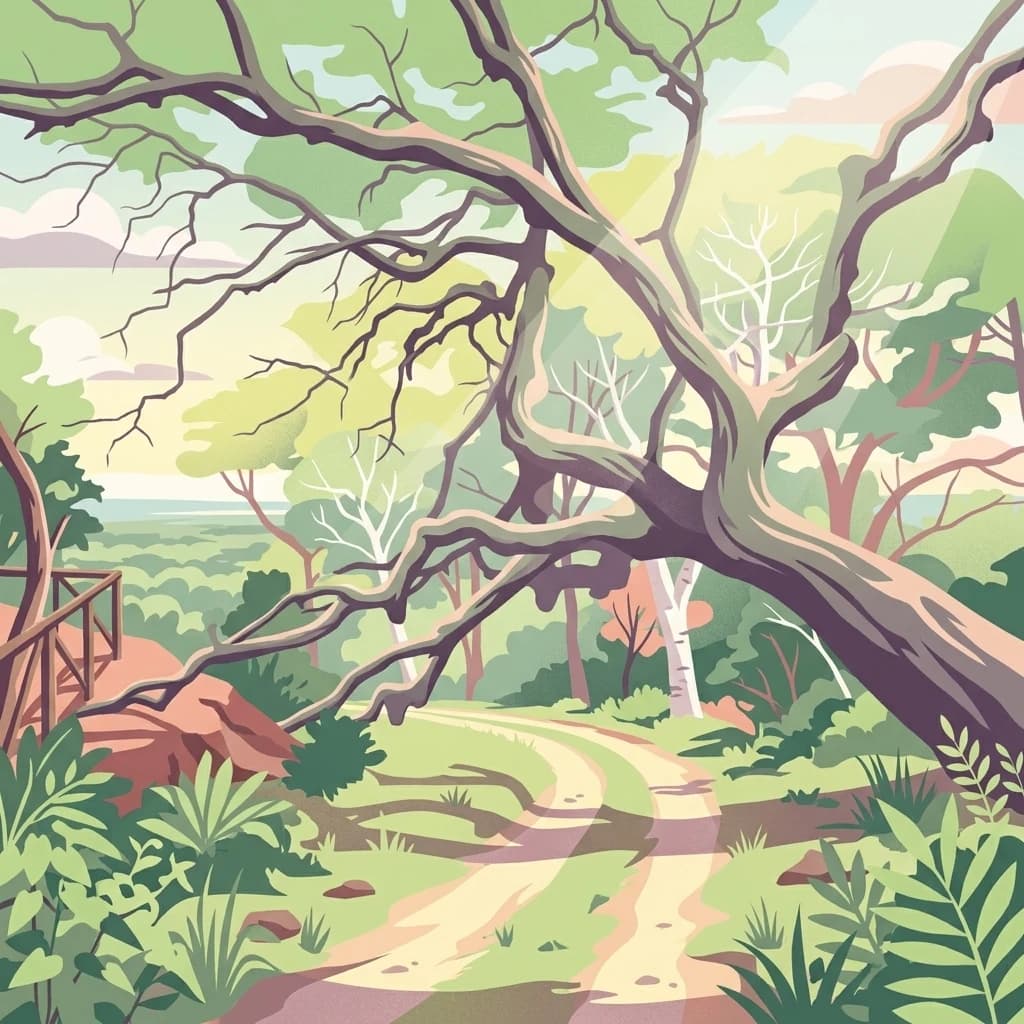
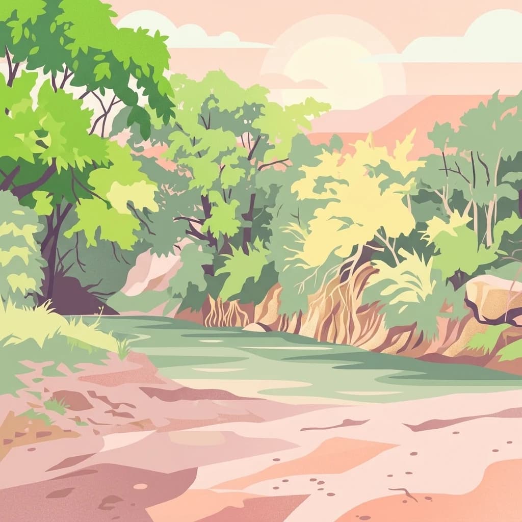
A stylized digital illustration of a winding dirt path through a lush forest with a large, gnarled tree reaching over the trail and a small wooden lookout structure on the left.
National parkCoast Province
About 442 km away#6 closest

Southwest

Arabuko Sokoke National Park: National Park Atlas and Geographic Identity in Coast Province

Mapped protected area within Kenya's coastal region.

Arabuko Sokoke National Park is identified as a protected national park situated within the historical Coast Province of Kenya. This entry offers a focused examination of its protected landscape and geographic significance, contributing to a structured atlas of protected areas. Users can explore the park's mapped boundaries and its positioning within the regional geography, providing essential context for understanding this natural landscape.

Area
6 km²
Established
1990
IUCN
II
Relief
Lowland
National parkKenya
About 446 km away#7 closest

Southwest

Tsavo East National Park: Kenya's Protected Natural Landscape for Geographic Exploration

Explore mapped boundaries and regional park geography.

Tsavo East National Park in Kenya offers a rich entry point for understanding protected landscapes and regional geography. As a designated national park, its mapped boundaries and natural terrain provide essential context for geographic exploration within East Africa. This page serves as a focused discovery point for the park's specific environmental attributes and its role in the broader atlas of protected areas.

Area
13,747 km²
Established
1948
IUCN
II
Relief
Lowland
National parkEastern Province
About 485 km away#8 closest

West

Meru National Park National Park: Mapped Protected Boundaries and Eastern Province Geography

Explore regional landscape context and natural terrain.

Meru National Park represents a vital national park entity within the Eastern Province of Kenya, offering unique opportunities for structured geographic and atlas exploration. This page details its protected landscape identity, emphasizing mapped boundaries and the surrounding regional context. Users interested in conservation lands and natural terrain can find comprehensive details on Meru National Park's geographic significance and its role within the broader atlas of protected areas.

Area
870.44 km²
Established
1966
IUCN
II
Relief
Upland
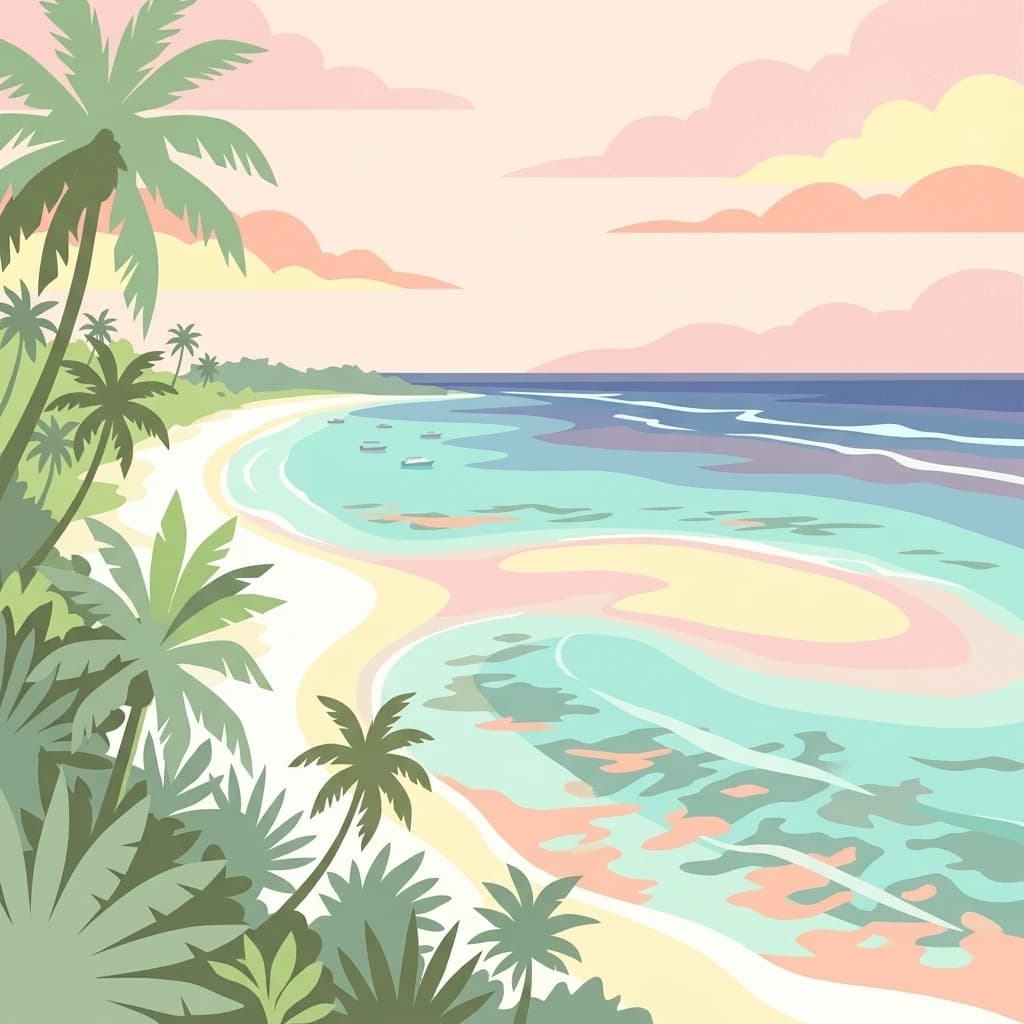
A stylized, flat-design illustration showing a tropical beach with palm trees along the shoreline and calm turquoise ocean water under a sunset sky.
National parkKenya
About 512 km away#9 closest

Southwest

Mombasa Marine Park National Park: Kenya's Coastal Protected Landscape

Mapped protected area within the East African regional geography.

This detail page offers an in-depth look at Mombasa Marine Park, a designated national park in Kenya. It focuses on its protected landscape identity, mapped boundaries, and its place within the regional geography of East Africa. Users seeking structured atlas information and context for protected natural areas will find detailed geographic data here.

A digital illustration of a savanna landscape with a winding dirt path, scattered acacia trees, and a mountain range under a pastel pink sky.
National parkTaita-Taveta County
About 529 km away#10 closest

Southwest

Tsavo West National Park: Kenya's Protected National Park and Regional Geography

Explore mapped boundaries and natural landscapes in Taita-Taveta County.

Tsavo West National Park offers a focused exploration of protected landscape and regional geography within Kenya. Discover the mapped extent of this national park, understanding its role as a conservation area in Taita-Taveta County. This entry provides key geographic context and atlas-style information, highlighting the natural terrain and protected boundaries for detailed discovery.

Area
9,065 km²
Established
1948
IUCN
II
Relief
Mixed relief
National parkMandera County
About 540 km away#11 closest

North

Malka Mari National Park: Remote Frontier Protected Landscape and Dawa River Ecosystem

Explore the semi-arid bushland and riparian woodland geography.

Malka Mari National Park offers a profound wilderness experience as Kenya's most remote national park, situated along the Dawa River in Mandera County. This protected area features striking contrasts between arid bushland and verdant riparian woodlands, supporting unique plant species and wildlife adapted to the semi-arid environment. Its vast, undeveloped character makes it a significant site for frontier conservation and a unique destination for atlas-style landscape exploration.

Area
1,500 km²
Established
1989
IUCN
II
Climate
Arid
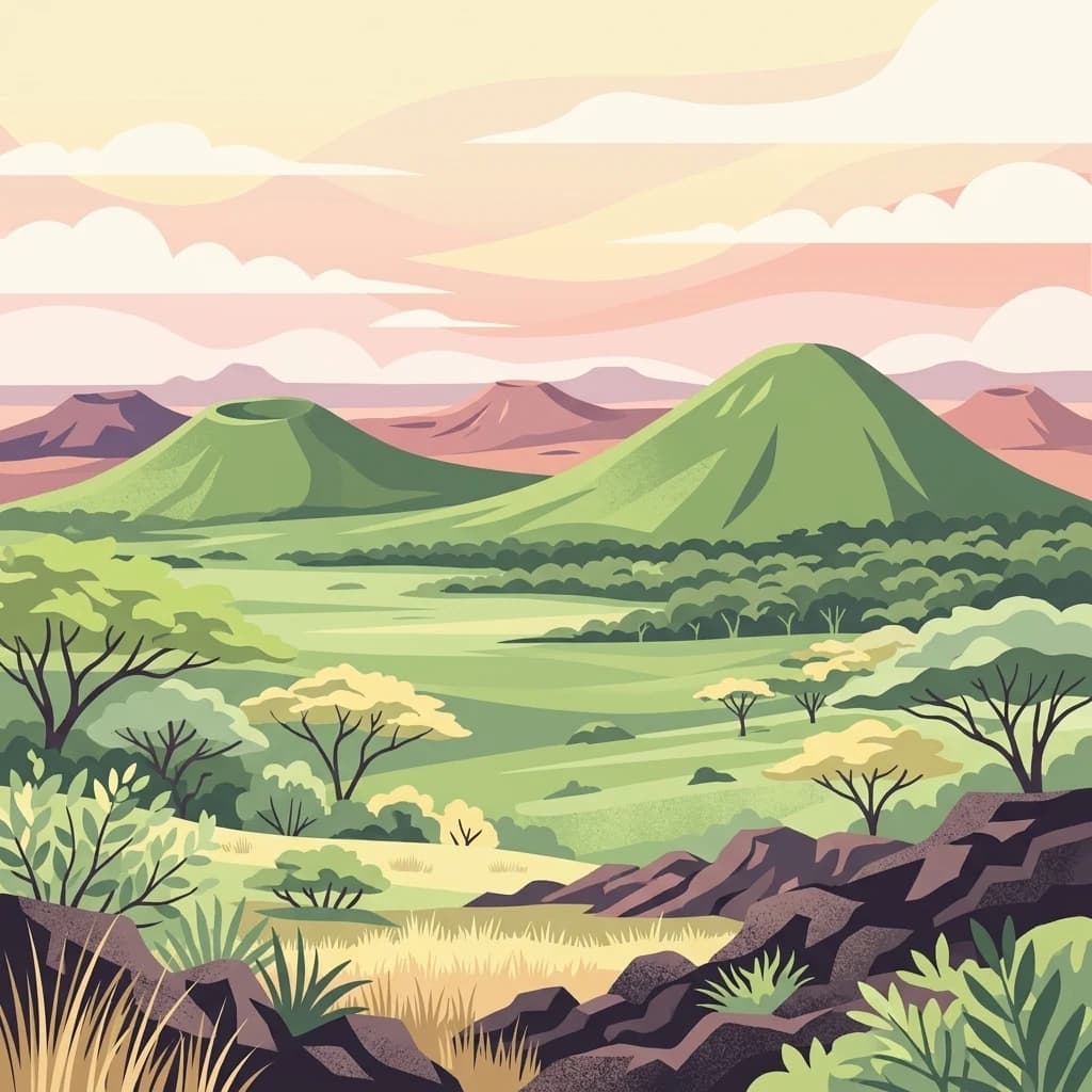
A digital illustration showing a volcanic landscape with green, cone-shaped hills under a soft pastel sky, with savanna plains and scattered acacia-like trees in the foreground.
National parkKenya
About 578 km away#12 closest

Southwest

Chyulu Hills National Park: A Protected Landscape in Kenya's Geography

Explore its mapped boundaries and regional park context.

Delve into the protected lands of Chyulu Hills National Park, a key national park situated within Kenya's expansive geographic tapestry. This resource provides detailed insights into the park's mapped boundaries, its specific terrain characteristics, and its overall contribution to the regional atlas. Understand its role as a protected area contributing to the diverse natural landscapes of East Africa.

Relief
Mountain
Access
Access unknown
Scope
Terrestrial
A digital illustration of a mountainous landscape with jagged peaks in the background, a central lake, and foreground vegetation including bamboo stalks and rosette-shaped alpine plants.
National parkKenya
About 580 km away#13 closest

West

Mount Kenya National Park

Kenya's high-altitude Afro-alpine ecosystems and mapped park boundaries.

Mount Kenya National Park, in Kenya. Landscapes: mountains, forests, and rivers.

Area
715 km²
Established
1949
IUCN
II
Relief
Mountain
A flat-style digital illustration showing a circular crater lake surrounded by forested slopes and rocky terrain under a soft sun, with an expansive arid plain and distant hills in the background.
National parkMarsabit County
About 591 km away#14 closest

Northwest

Marsabit National Park: Protected Area Identity and Geographic Setting in Kenya

Explore mapped landscape and regional park geography.

Marsabit National Park represents a critical protected area within the geographic expanse of Marsabit County, Kenya. This entry provides essential context for understanding the park's specific identity as a national park, its delineated boundaries, and its place within the natural landscape. For those interested in atlas-style exploration, this park detail offers foundational geographic information and insights into its protected status, anchoring its role in a broader discovery of Kenya's natural heritage.

Area
1,554 km²
Established
1949
Relief
Mountain
Climate
Subtropical
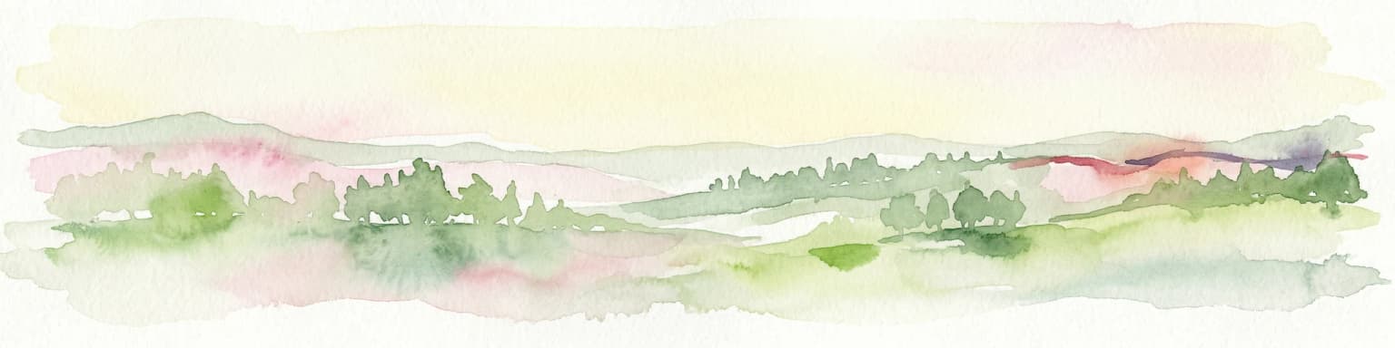
Watercolor illustration of a hilly landscape with green and pink hues, showing trees, distant hills, and a light sky
National parkKenya
About 593 km away#15 closest

Southwest

Kisite-Mpunguti Marine National Park: Kenya's Coastal Protected Marine Landscape

Mapped coral reefs and diverse marine ecosystems.

As Kenya's foremost marine national park, Kisite-Mpunguti Marine National Park presents an unparalleled opportunity to explore a thriving underwater world. Its protected boundaries encompass remarkable coral formations and a rich tapestry of marine species, including diverse fish populations, sea turtles, and dolphins. This park is a cornerstone of coastal conservation, offering valuable insights into marine geography and ecosystem health for those seeking detailed landscape context.

Area
39 km²
Established
1973
IUCN
II
Relief
Lowland
National parkKenya
About 595 km away#16 closest

West

Ol Donyo Sabuk National Park: Kenya's Prominent Highland Volcanic Protected Landscape

Mapped National Park boundaries and montane forest geography.

Ol Donyo Sabuk National Park represents a vital protected natural area situated in Kenya's central highlands. Its landscape is dominated by a striking volcanic peak, offering a unique montane forest environment and significant primate habitat. This entry provides essential details for atlas exploration, focusing on the park's geographic placement, its protected landscape features, and the ecological context it represents within Kenya's protected areas system.

IUCN
II
Relief
Mountain
Scope
Terrestrial
Water
Minor water
A stylized flat vector illustration of a river flowing through a forested landscape with a soft, warm-toned horizon.
National parkTanzania
About 611 km away#17 closest

Southwest

Mkomazi National Park

Explore its mapped terrain and conservation significance within East Africa.

Mkomazi National Park, in Tanzania. Landscapes: forests, woodlands, and grasslands.

Area
3,234 km²
Established
2006
IUCN
II
Visitors
1.6K annual
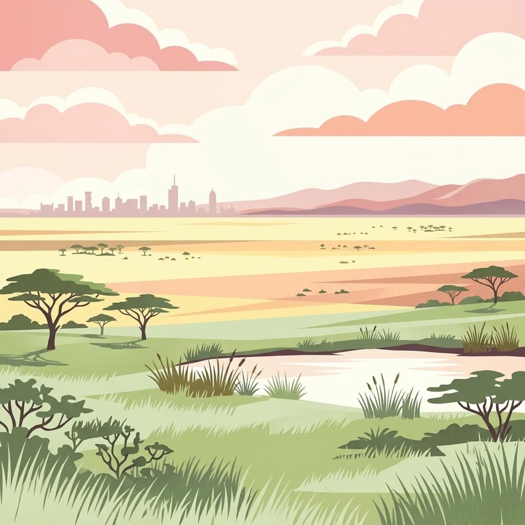
A stylized vector illustration of an African savanna with acacia trees and a small pond in the foreground, with the distant city skyline of Nairobi on the horizon under a pastel sunset sky.
National parkKenya
About 636 km away#18 closest

West

Nairobi National Park

Explore the mapped boundaries and regional context of this Kenyan national park.

Nairobi National Park, in Kenya. Landscapes: grasslands, forests, and woodlands.

Area
117 km²
Established
1946
IUCN
II
Relief
Mixed relief
A digital illustration of a savanna with two large acacia trees framing a winding river that flows through a grassy plain toward distant low mountains under a soft sunset sky.
National parkKenya
About 641 km away#19 closest

Southwest

Amboseli National Park

Mapped geographic context and protected area boundaries.

Amboseli National Park, in Kenya. Landscapes: wetlands, lakes, and grasslands.

Area
392 km²
Established
1974
IUCN
II
Visitors
120K annual
Distance methodology

Geographic measurements, not driving distances

How nearby park distances are calculated

Distances use park boundaries whenever the available geometry allows it. When one or both boundaries are missing, the mapped park locations provide a clearly labelled estimate. Every value represents straight-line geographic separation and does not use roads or routing.

Boundary distance

Calculated between the nearest points of both park boundaries.

Location-to-boundary estimate

Estimated from one mapped park location to the nearest boundary of the other park.

Mapped-location estimate

Estimated between the mapped locations of both parks.

MoriAtlas Explorer

Continue Atlas Exploration of Kismayo National Park's Geography

Delve deeper into the geographic specifics of Kismayo National Park, a key protected area in Somalia. Understanding its mapped terrain and regional context within Lower Juba is essential for a comprehensive atlas-based appreciation of its protected landscape. Continue discovering how Kismayo National Park fits into the mapped natural geography of the region, enriching your understanding of protected lands.

Global natural geography