Mori Atlas logo
Nearby park discovery

Geographic context and mapped distribution of regional conservation lands

Protected Areas and Natural Landscapes near Loser Plateau in the Salzkammergut Region

The high alpine karst terrain of the Loser Plateau sits within a broader network of protected landscapes in the Salzkammergut region of Austria. This geographic overview illustrates the spatial distribution of nearby nature reserves and protected areas, highlighting the connection between the Tote Gebirge massifs and the surrounding alpine terrain through mapped boundaries.

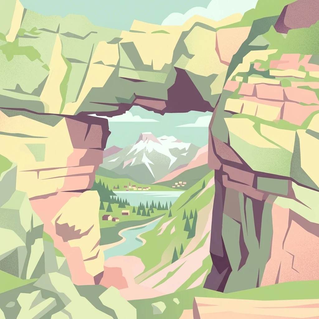
An artistic graphic illustration featuring a natural rock arch in the foreground framing a distant alpine landscape with snowy peaks, a lake, and green valleys.

A high alpine karst plateau in the Totes Gebirge, defined by caves, sweeping views, and the iconic Loser peak above Lake Altaussee.

Loser Plateau

The Loser Plateau is a high alpine karst landscape in the Totes Gebirge, a major mountain range in the Salzkammergut region of Austria. It lies above the town of Altaussee and the lake of the same name, forming the southern gateway to the broader Tote Gebirge plateau. Although the massif is best known through the dominant, crag-like Loser peak at 1837 m, the plateau itself is a relatively flat, elfin upland of bare limestone, sinkholes, snow-hollows, and over two hundred catalogued caves. What sets the area apart is the combination of accessibility and wildness. A panoramic toll road and a cable car lift visitors up to roughly 1600 m, from where it is possible to step directly into one of the most extensive and pathless karst terrains in the Eastern Alps. The southern face has been developed for skiing, but the broader plateau remains a quiet, dramatic wilderness, valued for its geology, its caving potential, and its views across the Ausseerland toward the Dachstein glaciers.

Location
Austria
Park type
Nature reserve
Area
12 km²
Highest point
1,837 m
Explore Loser Plateau Nature Reserve Geography
Regional park map

See the ranked park cluster in its geographic setting

Nearby parks around Loser Plateau

This regional map shows the same 20 nearby parks ranked below around Loser Plateau. Select a ranked marker to highlight that park’s boundary where boundary data is available.
Reference park: Loser PlateauRanked nearby park20 nearby parks shown
20 nearby parks

Distance ranked park geography and surrounding protected landscapes

Parks and Protected Areas Geographically Near Loser Plateau

Nearby protected areas provide structured geographic comparison signals based on straight line proximity and recorded environmental characteristics relative to Loser Plateau. Analyzing surrounding regional park geography reveals broader patterns in terrain and conservation without assuming identical habitats.
Watercolor painting depicting layered mountain ranges, forests, and water bodies in green and pink tones
National parkUpper Austria
About 33 km away#1 closest

East

Kalkalpen National Park: Ancient Beech Forests and Karst Protected Landscape

Explore mapped boundaries and unique alpine terrain.

Kalkalpen National Park is a premier protected area in Upper Austria, celebrated for harboring Central Europe's largest remaining ancient beech forests and an extensive karst landscape. This designation underscores its critical role in preserving old-growth forest ecosystems and unique geological formations within the Northern Limestone Alps. Discover the mapped terrain and regional geography that define this significant natural reserve, offering a profound look into the continent's ecological history and protected natural heritage.

Area
208.25 km²
Established
1997
IUCN
II
Relief
Mountain
National parkAustria
About 47 km away#2 closest

East

Limestone Alps National Park: A National Park in Austria's Mapped Protected Landscapes

Explore protected area boundaries and regional geography.

Limestone Alps National Park represents a vital component of Austria's protected lands, contributing to the nation's atlas of natural landscapes. This page details the park's identity as a national park, focusing on its geographic scope and mapped boundaries. Users can delve into the regional context and understand the protected-area significance of Limestone Alps National Park, enriching their exploration of Austria's diverse geography.

Watercolor illustration showing mountain ranges, forests, and a river under a light sky.
National parkBavaria
About 53 km away#3 closest

West

Berchtesgaden National Park: Protected Landscape and Regional Geographic Context in Bavaria

Mapped natural terrain and protected area exploration.

Berchtesgaden National Park represents a crucial protected landscape situated in Bavaria, Germany. This entry provides detailed information focused on its protected area status, unique geographic setting, and mapped natural terrain. It serves as a gateway to understanding the park's specific identity within the regional atlas of Germany, offering insights into its boundaries and its significance as a curated natural landscape for discovery.

Area
210 km²
Established
1978
IUCN
II
Relief
Mountain
National parkStyria
About 58 km away#4 closest

East

Gesäuse National Park: Detailed Protected Landscape and Alpine Geography in Styria

Explore Austria's dramatic river gorge and rugged peaks.

Gesäuse National Park in Styria represents a significant alpine protected area, characterized by the striking Enns river gorge cutting through the Gesäuseberge. This national park offers a unique geographic context, showcasing steep limestone peaks, dramatic rock faces, and a rich hydrological network. Discover the mapped boundaries and protected landscape of one of Austria's most visually striking natural passages, ideal for detailed atlas exploration and understanding alpine conservation.

Area
110 km²
Established
2002
IUCN
II
Relief
Mountain
National parkAustria
About 66 km away#5 closest

Southwest

Hohe Tauern National Park: Regional Geography and Protected Alpine Mountain Terrain

Major protected area in the heart of the Austrian Alps

Hohe Tauern National Park protects a grand scale of alpine terrain, including towering summits above 3,000 meters and the longest glacial systems in the country. This atlas record provides insights into the park's vertical landscape, encompassing glacial valleys, waterfalls, and diverse ecological zones that define the High Tauern mountain range in Austria.

Nature reserveGermany
About 81 km away#6 closest

West

Naturwald Kraxenbach: Protected Montane Forest and Alpine Landscape Geography in Bavaria

A comprehensive look at a protected Bavarian mountain reserve

Naturwald Kraxenbach offers a deep dive into the montane ecosystems of the German-Austrian border. This nature reserve protects over 200-year-old forest stands and distinct holly habitats within the steep valleys of the Chiemgauer Alps, providing an essential study of natural forest development in a historical forestry region.

Area
18.01 km²
Established
2020
Relief
Mountain
Climate
Alpine
A watercolor painting showing a wide, panoramic view of rolling, grassy mountain slopes with soft pastel colors and small evergreen trees.
Protected landscapeCarinthia
About 84 km away#7 closest

South

Nock Mountains National Park: Mapping the Rounded Alpine Summits and Glacial Terrain of Carinthia

A protected alpine landscape and UNESCO Biosphere Reserve in the Austrian Alps

Discover the geographic character of Nock Mountains National Park, where the Gurktal Alps transition into sweeping, grass-covered dome summits. This protected area offers a look at a unique Tertiary land surface that survived the last Ice Age, supporting a mosaic of larch forests, alpine pastures, and high-altitude lakes that define the regional geography of southern Austria.

Area
184 km²
Established
1987
IUCN
V
Relief
Mountain
Protected areaStyria
About 86 km away#8 closest

Southeast

Zirbitzkogel Protected Area: Mapping the Alpine Landscapes and Glacial Terrain of the Seetal Alps

High mountain geography and protected terrain in Styria, Austria

Zirbitzkogel represents the highest point of the Seetal Alps, characterized by crystalline geology, slate, and gneiss. The landscape features a clear progression from subalpine spruce and larch forests to broad, level summit plateaus covered in ragged sedge grasslands. Beyond its alpine vegetation and glacial tarns, the area serves as a critical protected habitat for diverse alpine fauna, offering an ideal setting for understanding regional alpine ecology and complex mountain landforms.

Established
2006
Relief
Mountain
Climate
Alpine
Access
Easy access
Watercolor painting showing mountain ranges with green, yellow, and pink hues, depicting layered peaks and cloud formations
National parkAustria
About 100 km away#9 closest

Southwest

Hohe Tauern National Park: Alpine Geography and Protected Landscape Atlas

High-altitude mountain terrain and glacial systems in Austria

Hohe Tauern serves as a primary protected area within the Austrian Alps, showcasing a vast sequence of glacial valleys, sharp mountain massifs, and high-alpine tundra. This exploration details the park's physical boundaries and its significance in preserving diverse ecological gradients and wilderness core zones across the Central Eastern Alps.

Area
1,806 km²
Established
1981
IUCN
II
Relief
Mountain
Nature reserveJihočeský kraj
About 109 km away#10 closest

North

Rašeliniště Kapličky Nature Reserve: Mapped Protected Landscapes in South Bohemia

High-altitude peatland and bog pine forest geography

Rašeliniště Kapličky encompasses 73 hectares of transitional peatland in the Bohemian Forest foothills. The reserve is defined by its deep granite-based peat deposits, rare bog-pine hybrid populations, and the drainage patterns of the Lipový potok stream. This protected area serves as an essential reference for understanding upland wetland ecology and the post-industrial landscape history of the South Bohemian borderlands.

Area
1.27 km²
Established
1992
IUCN
IV
Relief
Upland
Natural monumentJihočeský kraj
About 111 km away#11 closest

North

Uhlířský vrch Natural Monument: Regional Geography and Protected Forest Terrain Mapping

Mountain forest and scree woodland in the Jihočeský kraj region.

Spanning 16 hectares of northern-facing slopes near Loučovice, Uhlířský vrch stands as a vital natural monument within the Trojmezenská hornatina highlands. This record provides geographic insight into its montane habitat, elevation range, and integration into the layered conservation network of South Bohemia. Trace the boundaries and terrain features of this significant protected area in the heart of the Czech mountain landscape.

Area
0.165 km²
Established
1992
IUCN
IV
Relief
Mountain
A pale, minimalist watercolor illustration of layered mountain silhouettes in the background and a green, forested foreground.
Nature reserveTyrol
About 111 km away#12 closest

West

Kaiser Mountains Nature Reserve: Alpine Limestone Landscapes and Regional Geography in Tyrol

A comprehensive look at the Wilder Kaiser and Zahmer Kaiser ridges

The Kaiser Mountains stand as a monumental feature within the Northern Limestone Alps. This nature reserve offers a unique geographic profile, from sheer, pale Wetterstein limestone walls to broad alpine pastures and pine-covered ridges. Its radial drainage patterns and self-contained massif structure provide an essential case study for understanding the diverse mountain terrain that defines the heart of the Austrian Tyrol.

Area
102 km²
Established
1963
Relief
Mountain
Climate
Alpine
A horizontal watercolor painting depicting a soft, atmospheric landscape with grassy foreground vegetation, a treeline, and distant rolling hills against a pale sky.
Nature reserveJihočeský kraj
About 116 km away#13 closest

North

Rašeliniště Borková Nature Reserve: Protected Peatlands in the Jihočeský kraj

Mapped wetlands and relict mire ecosystems of southern Bohemia

Located along the Lipno reservoir, Rašeliniště Borková preserves a essential fragment of the original Vltavická brázda valley landscape. The area maps a compressed, multi-zoned wetland habitat that ranges from nutrient-poor sedge mires to stable bog pine woodland, providing a necessary refuge for mire-dependent invertebrates and breeding waterbirds.

Area
0.487 km²
Established
1995
IUCN
IV
Relief
Upland
Watercolor illustration of a river flowing through a forested landscape with rolling hills in the background
National parkSouth Bohemian Region
About 118 km away#14 closest

North

Šumava National Park: Czech Republic's Premier Forested National Park and Protected Landscape

Explore the unique glacial lakes, peat bogs, and regional geography.

Šumava National Park, situated in the South Bohemian Region of the Czech Republic, is the nation's largest protected area and a vital component of Central Europe's forest ecosystems. This entry details its expansive terrain, highlighting the significant peat bog complexes and ancient glacial lakes that define its unique landscape. Discover the park's geographic context, mapped boundaries, and its importance as a protected natural asset within the broader regional atlas.

Area
680.64 km²
Established
1991
IUCN
II
Visitors
2M annual
Nature reserveJihočeský kraj
About 119 km away#15 closest

North

Velké bahno Nature Reserve: Protected Wetland and Mire Geography in the Šumava Foothills

Essential conservation habitat within the Jihočeský kraj region of the Czech Republic

Velké bahno stands as a compact but vital nature reserve featuring spruce-alder swamps, wooded peatlands, and boggy clearings. Its position within the Šumava Protected Landscape Area highlights a concentration of sensitive mire habitats, protected flora, and rare species adapted to the wet, undulating paragneiss terrain of the Bohemian Forest foreland.

Area
0.915 km²
Established
1992
IUCN
IV
Relief
Upland
Nature reserveJihočeský kraj
About 129 km away#16 closest

Northeast

Velký Hodonický rybník Nature Reserve: Regional Geography and Protected Wetland Atlas

Mapped aquatic habitats in the South Bohemian foothills

Situated in the Novohradské podhůří, Velký Hodonický rybník is a protected nature reserve defined by its shallow fishpond basin and specialized wetland flora. This site acts as a key element of the Natura 2000 network, preserving rare aquatic vegetation and amphibian populations within a characteristic South Bohemian landscape. The area offers a detailed view into the intersection of historical agricultural land use and contemporary environmental preservation.

Area
0.027 km²
Established
2023
IUCN
III
Watercolor illustration of a river flowing through a forested valley with mountains in the background
National parkSlovenia
About 131 km away#17 closest

South

Triglav National Park: A Mapped Alpine Protected Landscape in Slovenia

Julian Alps geography, glacial lakes, and karst terrain.

Triglav National Park is Slovenia's premier protected area, covering 880 square kilometers of the Julian Alps. This page details its dramatic alpine geography, including Mount Triglav, glacial valleys, and significant karst features. Understand the mapped boundaries and landscape context of this national park, a key entry in the MoriAtlas geographic discovery resource for understanding protected lands.

Area
880 km²
Established
1981
IUCN
II
Visitors
1.6M annual
Watercolor illustration of a soft, rolling landscape with purple hills in the distance and pale green and pink vegetation in the foreground.
Natural monumentJihočeský kraj
About 135 km away#18 closest

North

Meandry Chvalšinského potoka Natural Monument: Mapped River Geography and Valley Terrain

Protected riparian habitat in the South Bohemian landscape

This natural monument protects a remarkably intact stretch of the Chvalšinský potok, where natural meanders, cut banks, and point bars create a living laboratory of fluvial geography. Beyond the stream itself, the site encompasses moist thistle and sedge meadows, offering a clear view into the traditional wetland ecology of the region. As a protected enclave, it maintains essential hydrological integrity within the broader landscape of the Czech countryside.

Area
0.048 km²
Established
2001
IUCN
IV
Relief
Lowland
Watercolor painting showing mountains, forests, and valleys in a landscape.
National parkGermany
About 135 km away#19 closest

North

Bavarian Forest National Park: Protected Landscape and Regional Geography Atlas

Explore mapped terrain and protected park boundaries in Germany.

Dive into the specifics of Bavarian Forest National Park, a key protected area noted for its distinct landscape and geographic importance. This MoriAtlas entry details the park's mapped boundaries and its setting within the surrounding regional geography, offering a clear atlas-style view of its natural terrain. Understand its identity as a national park and discover its place in Germany's protected lands.

Area
242.45 km²
Established
1970
IUCN
II
Visitors
1.3M annual
Natural monumentJihočeský kraj
About 136 km away#20 closest

North

Výří vrch Natural Monument: Regional Geography and Limestone Habitat Mapping

Protected limestone terrain in Jihočeský kraj

Výří vrch preserves a striking limestone inselberg that rises above the regional upland forests of the Czech Republic. The site provides a critical study in how exposed calcareous geology and warm, dry microclimates support a dense, specialized collection of steppe-like flora and invertebrate species within a broader forest-dominated landscape.

Area
0.129 km²
Established
2010
IUCN
IV
Relief
Upland
Distance methodology

Geographic measurements, not driving distances

How nearby park distances are calculated

Distances use park boundaries whenever the available geometry allows it. When one or both boundaries are missing, the mapped park locations provide a clearly labelled estimate. Every value represents straight-line geographic separation and does not use roads or routing.

Boundary distance

Calculated between the nearest points of both park boundaries.

Location-to-boundary estimate

Estimated from one mapped park location to the nearest boundary of the other park.

Mapped-location estimate

Estimated between the mapped locations of both parks.

MoriAtlas Explorer

Trace the Geological Boundaries of the Loser Plateau Nature Reserve

Dive into the complex karst geography and protected landscapes of Loser Plateau. MoriAtlas provides a structured look at the terrain, mapping the high alpine uplands and the distinctive mountain features that define this essential segment of the Salzkammergut region.