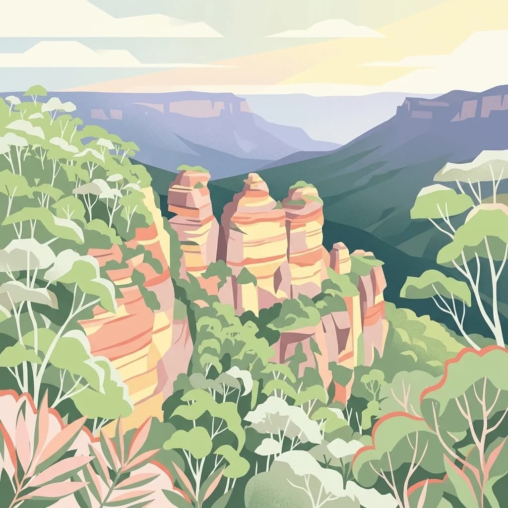
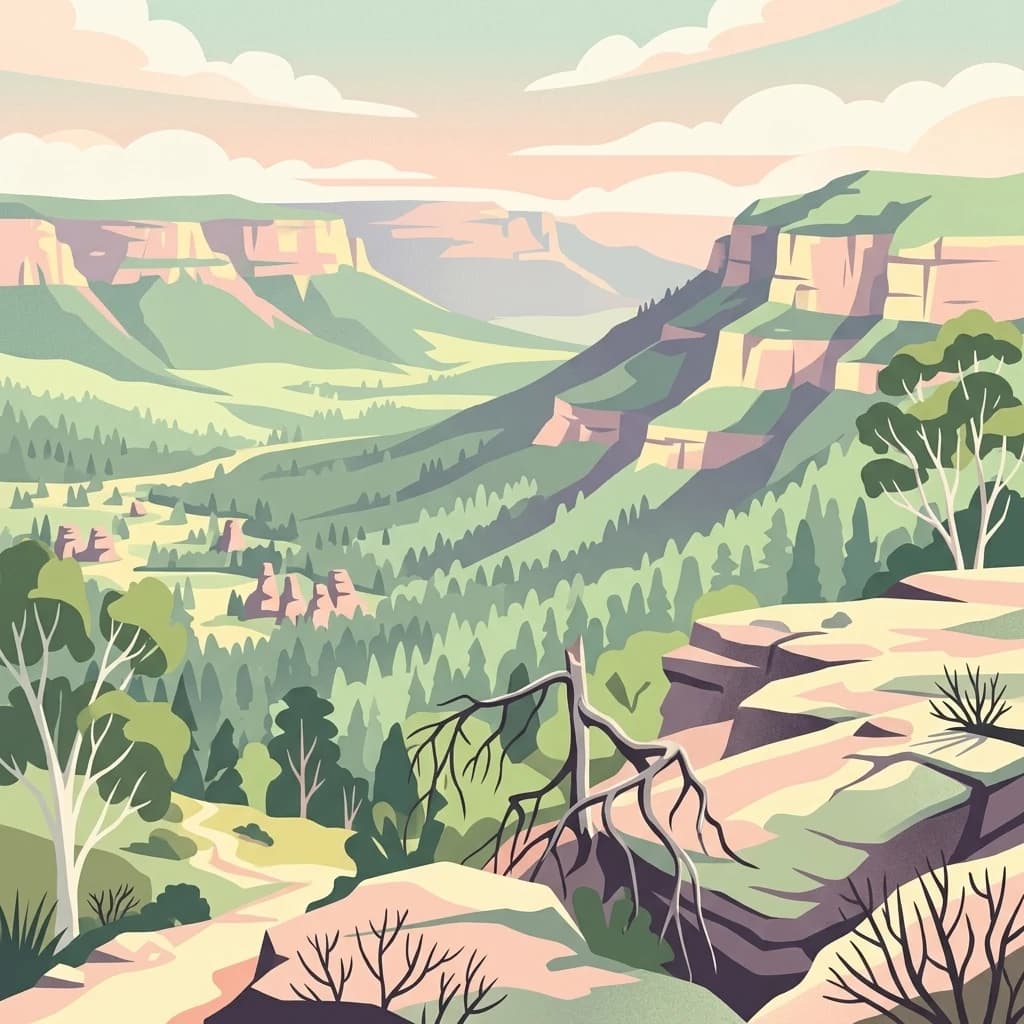
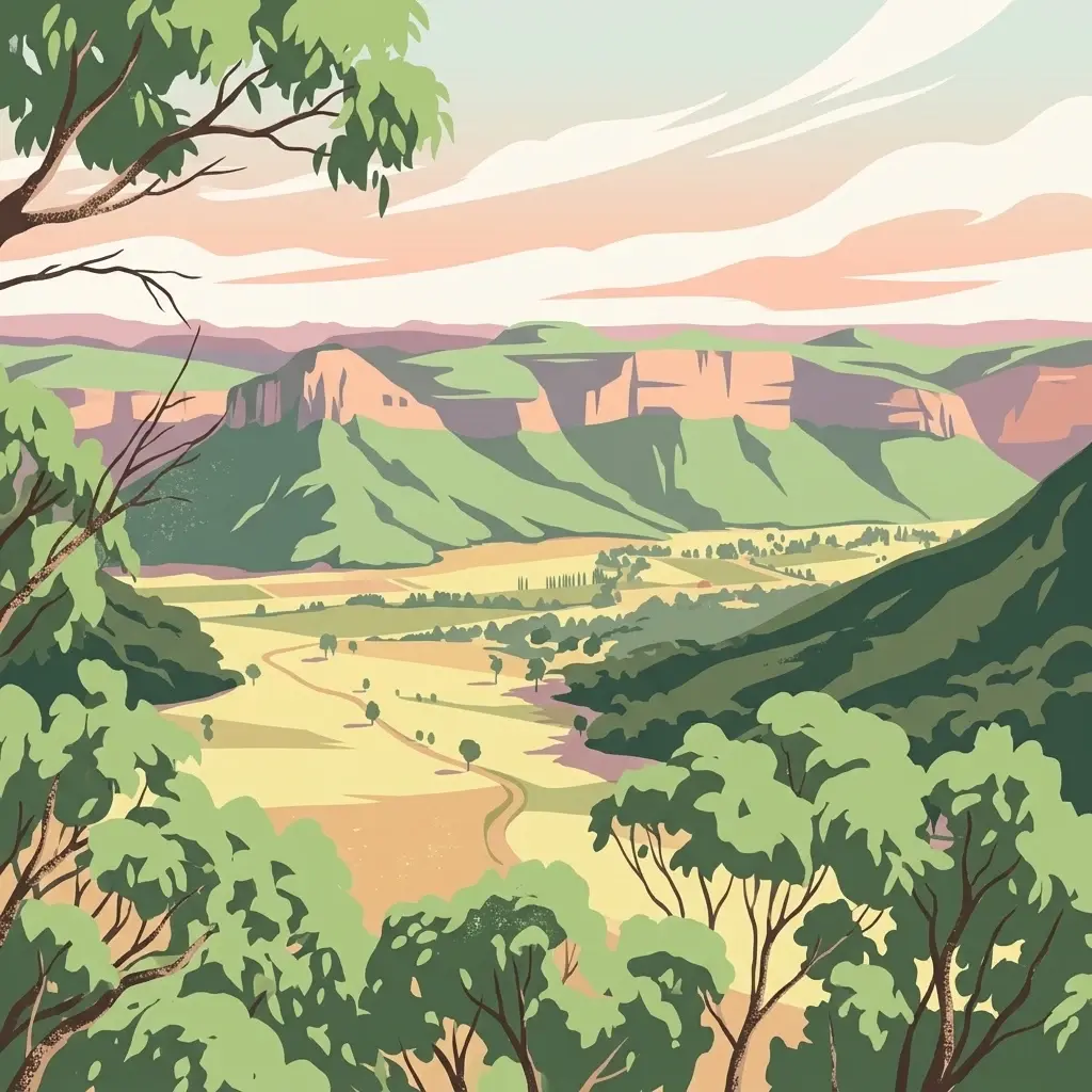
Mesa country of the Capertee Valley, with pagoda cliffs, sandstone canyons, and a strong Wiradjuri story.
Mugii Murum-ban State Conservation Area
Mugii Murum-ban State Conservation Area is a compact protected area in New South Wales, Australia, covering approximately 3,650 hectares of rugged country on the northern edge of the Capertee Valley. It sits between Lithgow to the south, Capertee to the northeast, and Mudgee to the northwest, with cleared farmland and remnant bushland running off to the east and west. The conservation area is bounded by the Glen Davis Road and Gardens of Stone National Park to the south and by Capertee National Park to the north, giving it a clear place within the broader network of sandstone reserves around the Capertee Valley.
The park is defined by two striking mesas, Genowlan Mountain and Mount Airly, which rise around 500 metres above the valley floor. Between and around these mesas are deep canyons, sandstone cliffs, and the distinctive erosion columns locally called pagodas. Despite its small area, the reserve protects a wide range of ecosystems, two threatened ecological communities, and several threatened plant and animal species, including a relict plant community on the narrow headland of Genowlan Point.
The name itself reflects the cultural significance of the place. Mugii Murum-ban is the Wiradjuri name of Charlie Riley, combining words for the southern boobook owl and 'eldest son'. The area carries strong meaning for the Wiradjuri people and also preserves a layered industrial history, most visibly the remains of late-nineteenth-century oil shale mining around Mount Airly and the heritage-listed ruins of the New Hartley ghost town.