Mori Atlas logo
Nearby park discovery

Mapping the surrounding landscapes and regional park network within the Kenya context.

Parks near Nairobi National Park

Compare protected areas near Nairobi National Park, ordered by geographic distance. They include Ol Donyo Sabuk and Mount Longonot National Park.

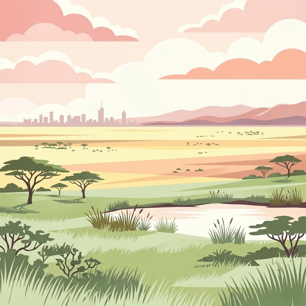
A stylized vector illustration of an African savanna with acacia trees and a small pond in the foreground, with the distant city skyline of Nairobi on the horizon under a pastel sunset sky.

Kenya's first national park, a savanna wilderness on the doorstep of a major city

Nairobi National Park

Nairobi National Park is Kenya's oldest national park, established in 1946 and located approximately seven kilometers south of Nairobi's city center. This 117-square-kilometer protected area represents a remarkable example of wilderness existing alongside a modern urban environment. The park sits at an elevation between 1,533 and 1,760 meters above sea level, characterized by a dry climate and open savanna landscapes. Unlike many national parks that remain isolated from human settlement, Nairobi National Park is bounded by electric fencing on its northern, eastern, and western sides, while its southern boundary remains open to the Kitengela Conservation Area and the broader Athi-Kapiti plains. This open boundary allows migrating wildlife to move between the park and adjacent grasslands, maintaining ecological connectivity despite the park's relatively small size. The park serves as the northern limit for wildlife migrations and provides crucial dry-season refuge for herbivores that disperse across the Athi-Kapiti ecosystem during wet periods.

Location
Kenya
Park type
National park
Established
1946
Area
117 km²
Nairobi National Park Geography
Regional park map

See the ranked park cluster in its geographic setting

Nearby parks around Nairobi National Park

This regional map shows the same 19 nearby parks ranked below around Nairobi National Park. Select a ranked marker to highlight that park’s boundary where boundary data is available.
Reference park: Nairobi National ParkRanked nearby parkSelected boundary: Nairobi National Park19 nearby parks shown
19 nearby parks

Distance-ranked collection and regional park geography for comparative analysis

Parks and Protected Areas Geographically Near Nairobi National Park

Geographic proximity measurements establish a structured ranking of surrounding protected areas relative to Nairobi National Park boundaries. Analyzing these adjacent ecosystems and regional landscape variations reveals wider conservation patterns across the surrounding territory.
National parkKenya
About 49 km away#1 closest

Northeast

Ol Donyo Sabuk National Park: Kenya's Prominent Highland Volcanic Protected Landscape

Mapped National Park boundaries and montane forest geography.

Ol Donyo Sabuk National Park represents a vital protected natural area situated in Kenya's central highlands. Its landscape is dominated by a striking volcanic peak, offering a unique montane forest environment and significant primate habitat. This entry provides essential details for atlas exploration, focusing on the park's geographic placement, its protected landscape features, and the ecological context it represents within Kenya's protected areas system.

IUCN
II
Relief
Mountain
Scope
Terrestrial
Water
Minor water
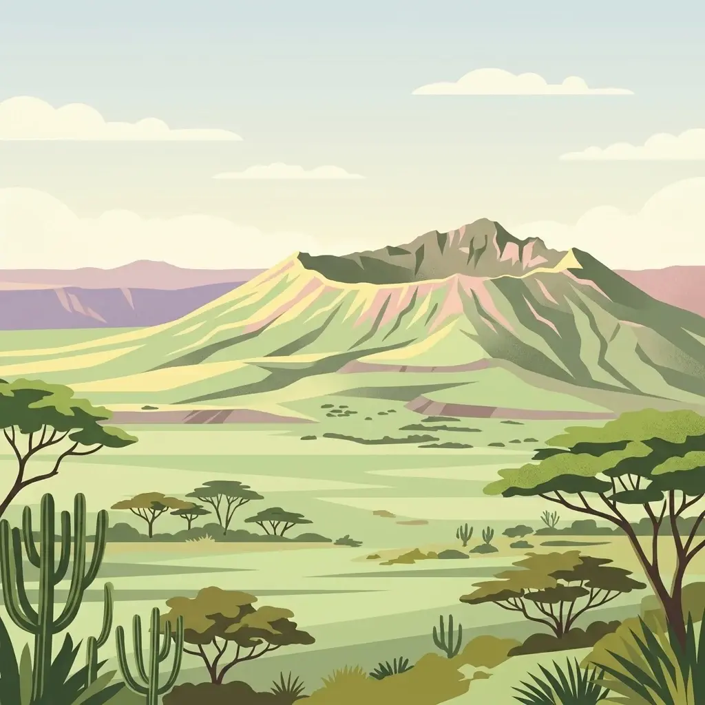
A stylized flat illustration of a dormant volcanic mountain with a large crater at its peak, set in a savanna landscape with acacia trees and cacti in the foreground.
National parkKenya
About 59 km away#2 closest

Northwest

Mount Longonot National Park: Kenya's Mapped Protected Landscape for Atlas Exploration

Discover the natural terrain and park boundaries.

Mount Longonot National Park serves as a vital protected area within Kenya, offering a focused lens for geographical exploration. This national park's defined landscape and mapped boundaries provide essential context for understanding its place in the broader regional geography. Ideal for users seeking detailed information on protected territories, Mount Longonot National Park offers insights into Kenya's natural heritage through an atlas-centric approach.

Scope
Terrestrial
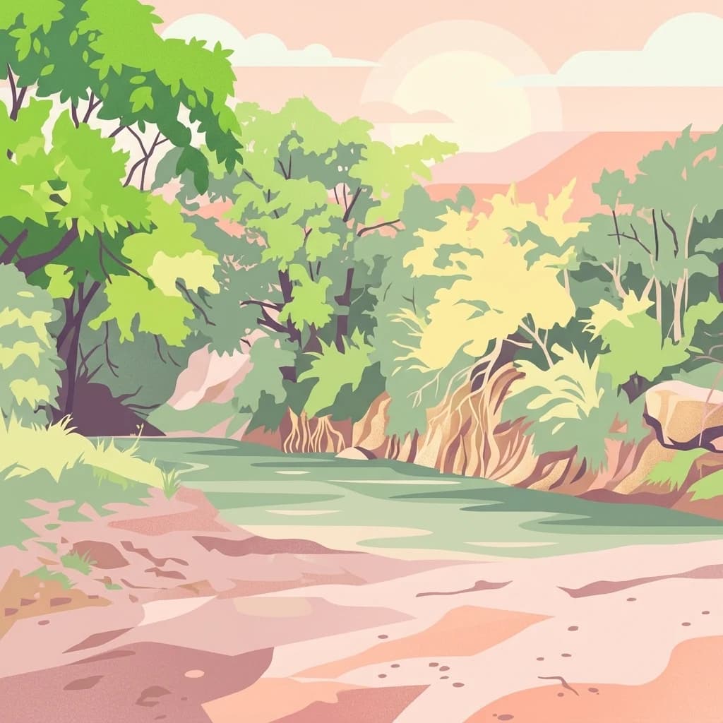
A digital illustration depicting a narrow canyon with tall, layered rock walls and a prominent tower formation in the center, surrounded by sparse green vegetation.
National parkNakuru County
About 69 km away#3 closest

Northwest

Hell's Gate National Park: National Park Atlas and Mapped Landscape Exploration

Discover Nakuru County's protected terrain and geographic context.

Explore the mapped boundaries and unique geographic identity of Hell's Gate National Park, a protected national park within Kenya's Nakuru County. This detailed atlas view focuses on the park's natural landscape and its place within the regional geography, offering structured discovery of its protected terrain and surrounding context. Understand the visual and geographic essence of this significant conservation area.

Area
68.25 km²
Established
1984
IUCN
II
Relief
Mountain
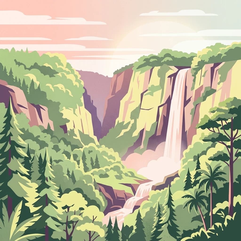
An illustrative style digital painting showing a waterfall plunging from high cliffs into a forested valley during sunrise or sunset.
National parkNyeri County
About 100 km away#4 closest

North

Aberdare National Park: Mapped Protected Landscape in Nyeri County

National Park Geography and Atlas Context

Aberdare National Park is a protected national park located within Nyeri County, Kenya. This entry offers detailed geographic information and map context, highlighting its protected boundaries and landscape characteristics. Users can explore its regional setting, understand its specific terrain features, and discover its significance as a conservation area within the Kenyan geography. Access structured data that clarifies the park's identity as a vital protected landscape.

Area
767 km²
Established
1950
IUCN
II
Relief
Mountain
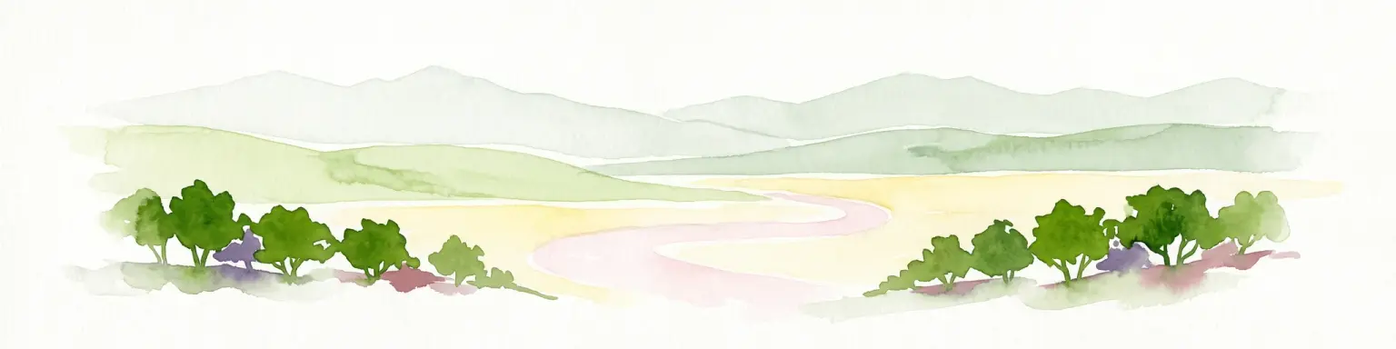
A soft watercolor illustration depicting a pale yellow lake shore with green trees in the foreground and rolling hills in the background.
National parkKenya
120 km away#5 closest

Northwest

Lake Nakuru National Park

Geographic boundaries, terrain analysis, and ecosystem context.

Lake Nakuru National Park, in Kenya. Landscapes: lakes, wetlands, and grasslands.

Area
188 km²
Established
1961
IUCN
II
Relief
Lowland
A digital illustration of a savanna with two large acacia trees framing a winding river that flows through a grassy plain toward distant low mountains under a soft sunset sky.
National parkKenya
About 139 km away#6 closest

South

Amboseli National Park

Mapped geographic context and protected area boundaries.

Amboseli National Park, in Kenya. Landscapes: wetlands, lakes, and grasslands.

Area
392 km²
Established
1974
IUCN
II
Visitors
120K annual
A digital illustration of a mountainous landscape with jagged peaks in the background, a central lake, and foreground vegetation including bamboo stalks and rosette-shaped alpine plants.
National parkKenya
About 144 km away#7 closest

North

Mount Kenya National Park

Kenya's high-altitude Afro-alpine ecosystems and mapped park boundaries.

Mount Kenya National Park, in Kenya. Landscapes: mountains, forests, and rivers.

Area
715 km²
Established
1949
IUCN
II
Relief
Mountain
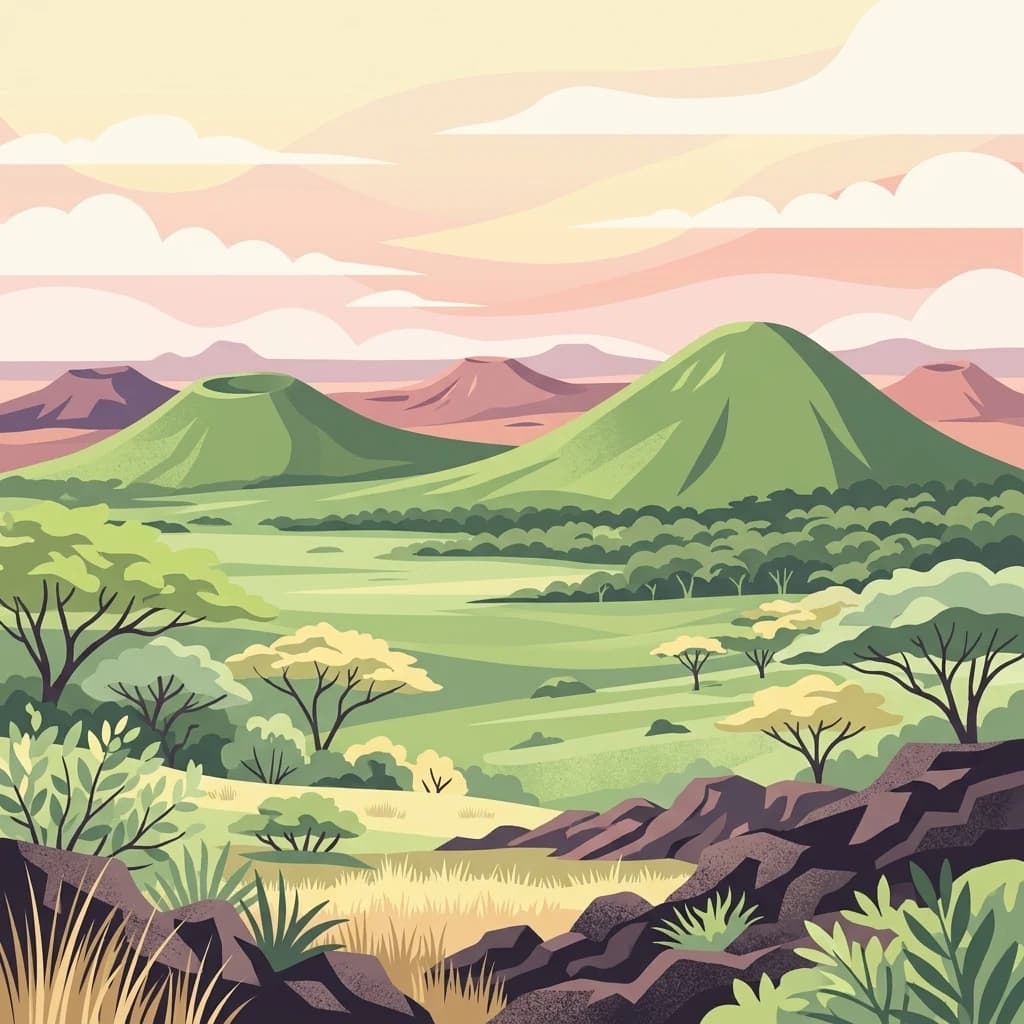
A digital illustration showing a volcanic landscape with green, cone-shaped hills under a soft pastel sky, with savanna plains and scattered acacia-like trees in the foreground.
National parkKenya
About 166 km away#8 closest

Southeast

Chyulu Hills National Park: A Protected Landscape in Kenya's Geography

Explore its mapped boundaries and regional park context.

Delve into the protected lands of Chyulu Hills National Park, a key national park situated within Kenya's expansive geographic tapestry. This resource provides detailed insights into the park's mapped boundaries, its specific terrain characteristics, and its overall contribution to the regional atlas. Understand its role as a protected area contributing to the diverse natural landscapes of East Africa.

Relief
Mountain
Access
Access unknown
Scope
Terrestrial
National parkKenya
167 km away#9 closest

Southeast

Tsavo East National Park: Kenya's Protected Natural Landscape for Geographic Exploration

Explore mapped boundaries and regional park geography.

Tsavo East National Park in Kenya offers a rich entry point for understanding protected landscapes and regional geography. As a designated national park, its mapped boundaries and natural terrain provide essential context for geographic exploration within East Africa. This page serves as a focused discovery point for the park's specific environmental attributes and its role in the broader atlas of protected areas.

Area
13,747 km²
Established
1948
IUCN
II
Relief
Lowland
A flat-style digital illustration of an African savanna landscape with a dirt path winding through grassy plains, scattered acacia-like trees, and mesa-style hills under a pink and soft yellow sunrise.
National parkMara Region
171 km away#10 closest

Southwest

Serengeti National Park: National Park Atlas and Protected Landscape Discovery

Explore savanna grasslands, regional geography, and mapped park boundaries.

Serengeti National Park, a significant national park within Tanzania's Mara Region, offers an unparalleled view into a vast protected landscape. This page provides access to the park's geographic identity, its defining savanna ecosystem, and its role as a critical component of the regional atlas. Understand the mapped extent of its protected boundaries and the unique natural context that supports its renowned wildlife.

Area
14,763 km²
Established
1940
IUCN
II
Visitors
350K annual
A digital illustration of a savanna landscape with a winding dirt path, scattered acacia trees, and a mountain range under a pastel pink sky.
National parkTaita-Taveta County
187 km away#11 closest

Southeast

Tsavo West National Park: Kenya's Protected National Park and Regional Geography

Explore mapped boundaries and natural landscapes in Taita-Taveta County.

Tsavo West National Park offers a focused exploration of protected landscape and regional geography within Kenya. Discover the mapped extent of this national park, understanding its role as a conservation area in Taita-Taveta County. This entry provides key geographic context and atlas-style information, highlighting the natural terrain and protected boundaries for detailed discovery.

Area
9,065 km²
Established
1948
IUCN
II
Relief
Mixed relief
A digital illustration of a landscape with a stream flowing over rocks in the foreground, savanna trees in the midground, and a large, snow-capped mountain under a soft-toned sky in the background.
National parkKilimanjaro Region
About 188 km away#12 closest

South

Kilimanjaro National Park

Explore its mapped boundaries and regional context.

Kilimanjaro National Park, in Kilimanjaro Region, Tanzania. Landscapes: mountains and forests.

Area
1,688 km²
Established
1973
IUCN
II
Visitors
52K annual
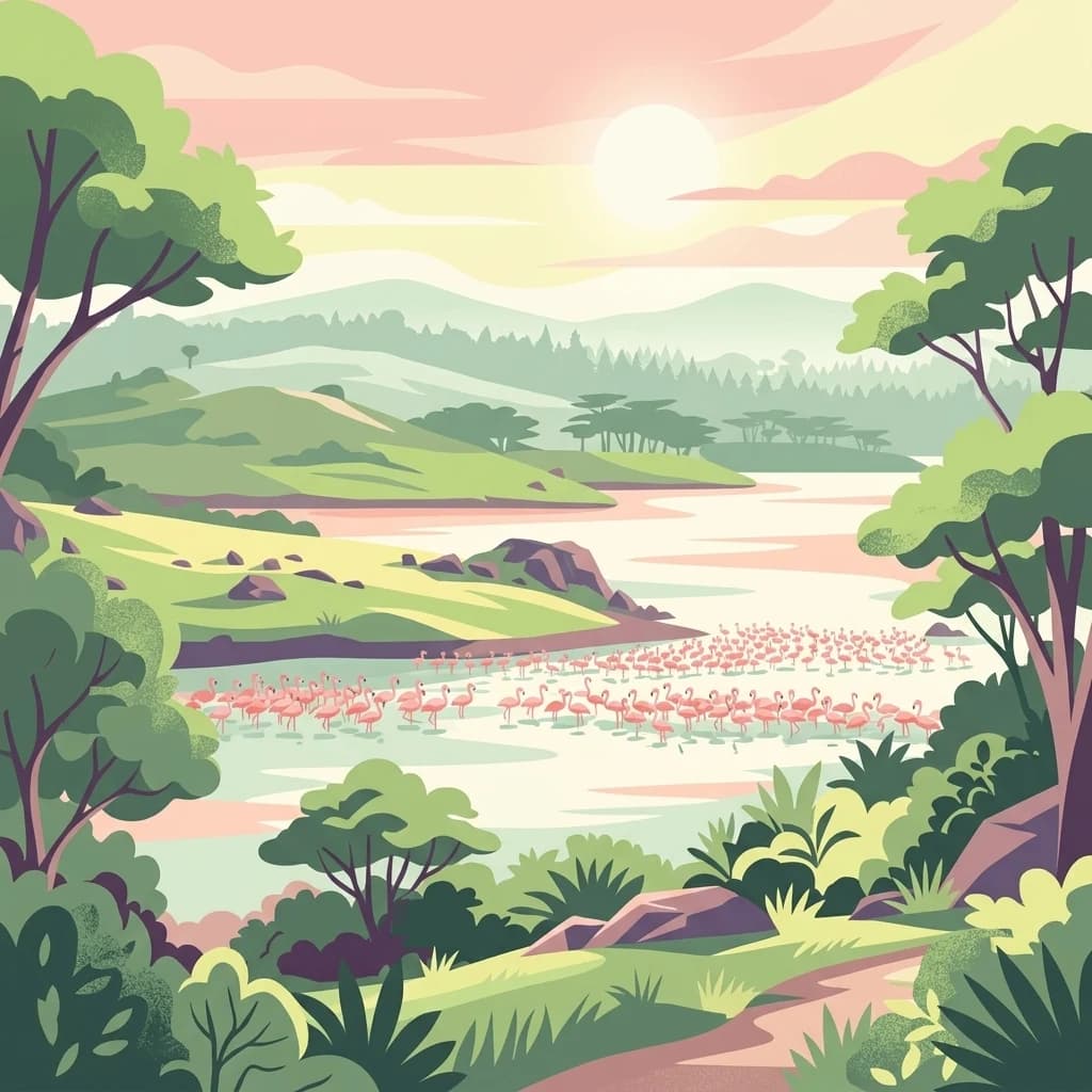
A stylized digital illustration of a serene landscape featuring a group of pink flamingos wading in a lake surrounded by green rolling hills and trees under a soft, golden sunrise sky.
National parkArusha Region
197 km away#13 closest

South

Arusha National Park

Explore its mapped boundaries and regional geography.

Arusha National Park, in Arusha Region, Tanzania. Landscapes: mountains, valleys, and cliffs.

Area
137 km²
Established
1960
IUCN
II
Visitors
66.8K annual
National parkEastern Province
About 217 km away#14 closest

Northeast

Meru National Park National Park: Mapped Protected Boundaries and Eastern Province Geography

Explore regional landscape context and natural terrain.

Meru National Park represents a vital national park entity within the Eastern Province of Kenya, offering unique opportunities for structured geographic and atlas exploration. This page details its protected landscape identity, emphasizing mapped boundaries and the surrounding regional context. Users interested in conservation lands and natural terrain can find comprehensive details on Meru National Park's geographic significance and its role within the broader atlas of protected areas.

Area
870.44 km²
Established
1966
IUCN
II
Relief
Upland
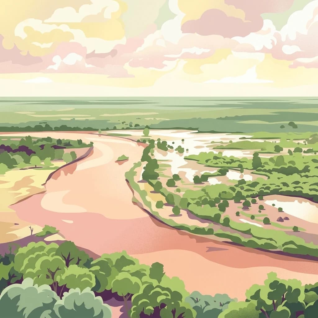
An illustrative depiction of a wide, winding river flowing through a dry, green, and bushy savanna landscape under a cloudy sky.
National parkTana River County
About 240 km away#15 closest

Northeast

Kora National Park: A Unique Protected Landscape in Tana River County, Kenya

Explore its inselberg geography and mapped natural terrain.

Kora National Park represents a remarkable protected area characterized by its striking inselberg topography and semi-arid bushland, set against the backdrop of the Tana River. This national park in Tana River County offers a unique geographic profile, featuring massive granite formations that punctuate the expansive terrain. Discover the mapped boundaries and the distinctive landscape that make Kora National Park a significant entity for regional atlas exploration and understanding protected lands in eastern Africa.

Area
1,788 km²
Established
1989
IUCN
II
Relief
Mixed relief
A digital illustration of Lake Manyara National Park showing a lush savanna with acacia trees, a prominent cliffside of the Great Rift Valley, and a large lake under a soft, pastel-colored sky.
National parkArusha Region
About 249 km away#16 closest

South

Lake Manyara National Park

Unique habitats from groundwater forests to alkaline lake shores.

Lake Manyara National Park, in Arusha Region, Tanzania. Landscapes: lakes, wetlands, and forests.

Area
648 km²
Established
1960
IUCN
II
Visitors
178.5K annual
A stylized digital illustration of a savanna landscape at sunset with baobab trees, acacia trees, a winding river, and small elephants.
National parkManyara Region
267 km away#17 closest

South

Tarangire National Park: A Detailed Look at its Mapped Boundaries and Protected Landscape

National park geography in Manyara Region, Tanzania

Tarangire National Park stands as a core protected area within Tanzania's Manyara Region, offering a deep dive into its specific geographic attributes and mapped boundaries. This page provides essential atlas context for understanding the park's landscape character and its placement within the regional geography. Focus on the park's protected status and its unique natural terrain, providing a factual basis for geographic discovery and research.

Area
2,850 km²
Established
1970
IUCN
II
Visitors
161.8K annual
A stylized flat vector illustration of a river flowing through a forested landscape with a soft, warm-toned horizon.
National parkTanzania
285 km away#18 closest

Southeast

Mkomazi National Park

Explore its mapped terrain and conservation significance within East Africa.

Mkomazi National Park, in Tanzania. Landscapes: forests, woodlands, and grasslands.

Area
3,234 km²
Established
2006
IUCN
II
Visitors
1.6K annual
An illustrative digital artwork of an African savanna landscape featuring flat-topped acacia trees, tall grasses, and a winding dirt road with small antelope silhouettes in the distance.
National parkNyanza Province
About 287 km away#19 closest

West

Ruma National Park: Kenya National Park within Nyanza Province Geographic Atlas

Explore its protected landscape and mapped geographic boundaries.

This MoriAtlas entry details Ruma National Park, a designated national park situated in Kenya's Nyanza Province. The focus is on its identity as a protected landscape, its specific geographic footprint, and its representation within a mapped atlas of natural areas. Users can investigate the park's terrain context, its regional placement, and the precise nature of its protected boundaries, offering structured geographic insight.

Area
120 km²
Established
1983
IUCN
II
Relief
Lowland
Distance methodology

Geographic measurements, not driving distances

How nearby park distances are calculated

Distances use park boundaries whenever the available geometry allows it. When one or both boundaries are missing, the mapped park locations provide a clearly labelled estimate. Every value represents straight-line geographic separation and does not use roads or routing.

Boundary distance

Calculated between the nearest points of both park boundaries.

Location-to-boundary estimate

Estimated from one mapped park location to the nearest boundary of the other park.

Mapped-location estimate

Estimated between the mapped locations of both parks.

MoriAtlas Explorer

Nairobi National Park

Explore the map, landscapes, and protection details for Nairobi National Park.

Global natural geography