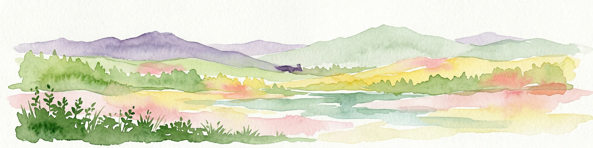
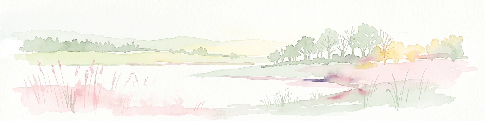
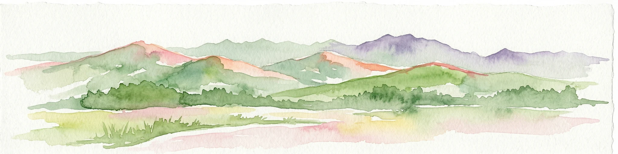
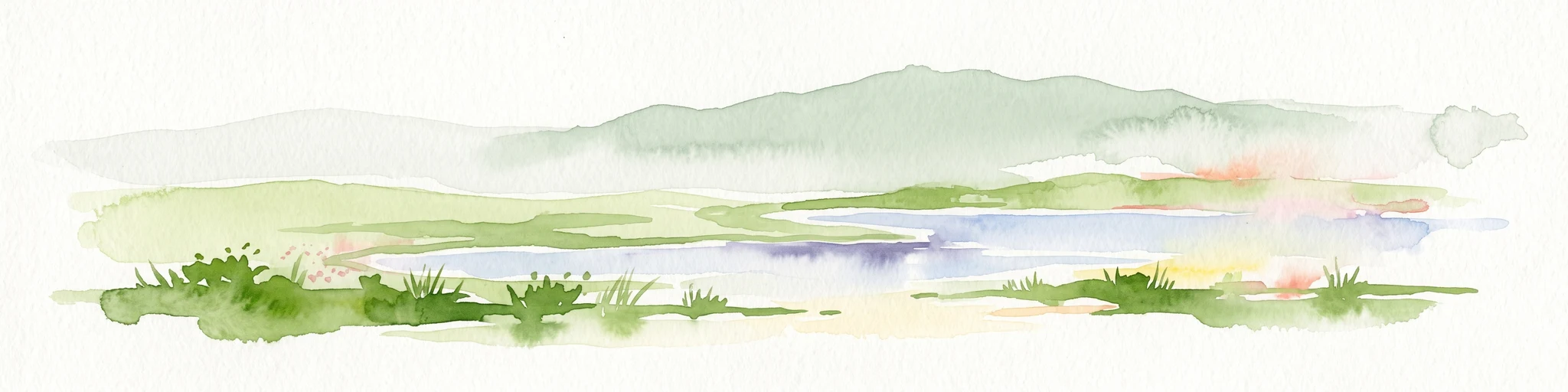
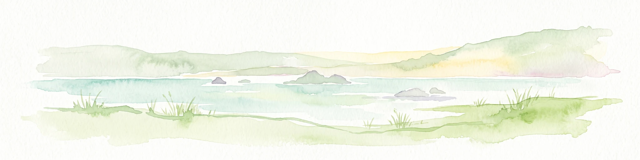
A vast coastal wetland plain in Somerset, defined by peat moors, reedbeds, and centuries of human drainage.
Somerset Levels
The Somerset Levels are a flat coastal plain and wetland area in the county of Somerset, England, stretching south from the Mendip Hills to the Blackdown Hills. The landscape is formed from marine clay "levels" along the Bristol Channel coast and inland peat-based "moors," shaped over thousands of years by rising sea levels, peat formation, and centuries of drainage and flooding. The region is bisected by the Polden Hills and drained by a network of rivers including the Parrett, Brue, and Axe.
Despite centuries of drainage and agricultural use, the Somerset Levels retain rich wetland biodiversity of national and international significance, supporting important populations of wildfowl, rare invertebrates, and otters. The area is also one of the most important prehistoric landscapes in northern Europe, preserving wooden trackways built by Neolithic people and the remains of Iron Age lake villages. Ramsar Site status, multiple Sites of Special Scientific Interest, and national nature reserves reflect the wetland's enduring ecological importance.
The Levels are also a cultural landscape shaped by monastic drainage, historic battles, traditional crafts, and modern debates over flooding, energy infrastructure, and conservation. Today the Somerset Levels function as a working agricultural landscape, a Ramsar-listed wetland, a major archaeological resource, and a low-key destination for cycling, wildlife watching, and heritage tourism.