Southwest
Ahaggar National Park
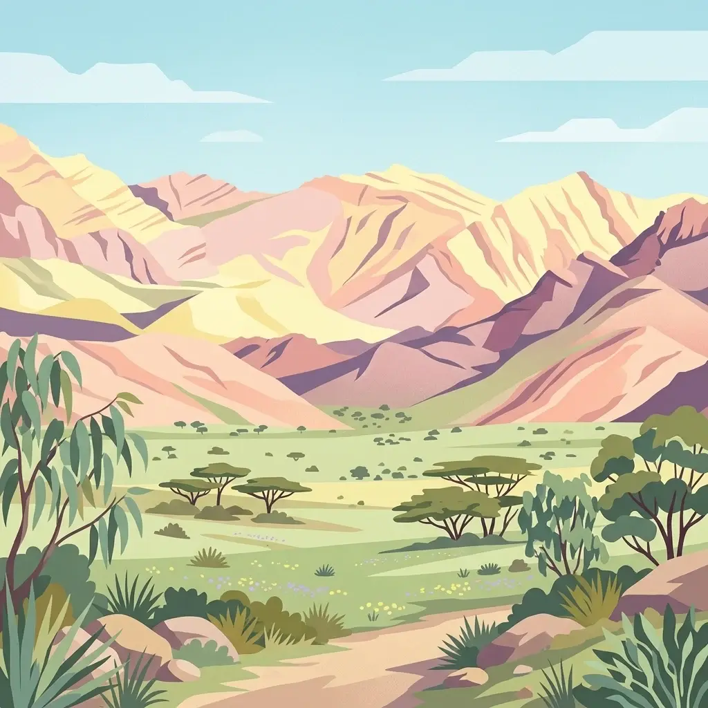
Highland mountain geography in Tamanrasset Province
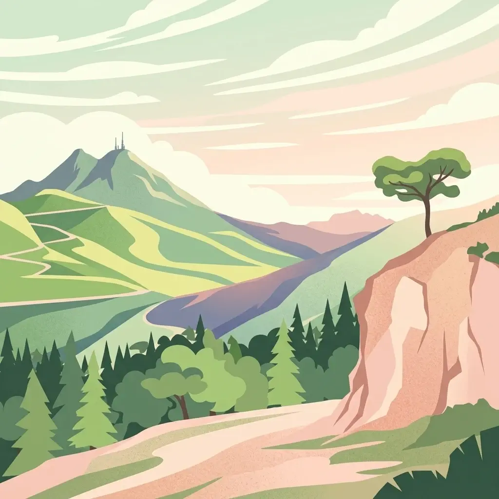
Ahaggar National Park, in Tamanrasset Province, Algeria. Landscapes: mountains, plateaus, and volcanoes.
- Area
- 450,000 km²
- Established
- 1987
- IUCN
- II
- Relief
- Mountain
Explore the regional geography and proximity of surrounding protected natural areas
Examine the geographic distribution of protected lands in the vicinity of Tassili n'Ajjer National Park, located on the Sahara's prominent mountain plateau. This atlas view highlights how neighboring protected areas align with the regional terrain, tracing boundary relations and environmental context across the broader desert landscape.

Saharan plateau preserving prehistoric rock art and desert ecosystems
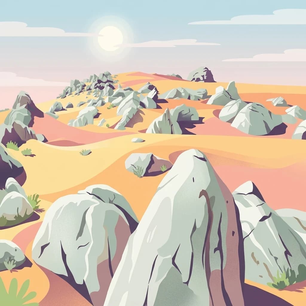
Tassili n'Ajjer National Park is a protected area located in southeastern Algeria, encompassing a dramatic portion of the central Sahara's mountainous plateau region. The park protects a landscape of sandstone formations, eroded rock arches, deep gorges, and ancient riverbeds that once carried water through what is now an arid desert. This region is globally significant for its extraordinary collection of prehistoric rock art, with thousands of paintings and engravings dating back thousands of years documenting early human life in the Sahara. The protected area preserves both the geological heritage of the Tassili plateau and the sparse but resilient desert ecosystems that survive in this harsh environment.
See the ranked park cluster in its geographic setting
Regional park geography and distance-ranked surrounding protected landscapes

Southwest
Highland mountain geography in Tamanrasset Province
Ahaggar National Park, in Tamanrasset Province, Algeria. Landscapes: mountains, plateaus, and volcanoes.

South
Discover unique Sahelian ecosystems isolated within the desert.
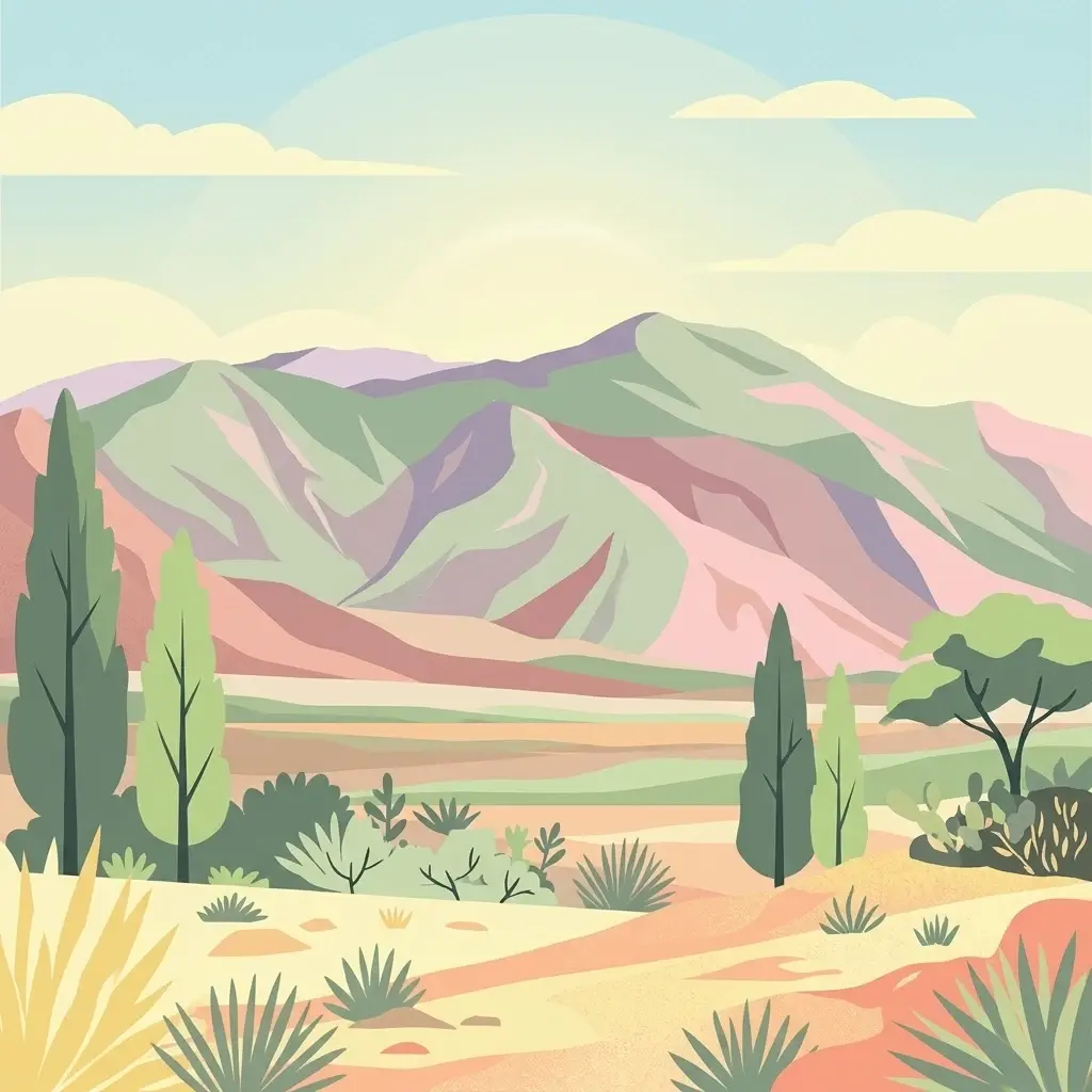
Aïr and Ténéré National Nature Reserve, in Niger. Landscapes: mountains, valleys, and forests.
Northeast
Understanding the protected land and terrain context.
Rajma National Park serves as a vital protected landscape within Libya, offering unique insights into regional geography and natural terrain. This entry focuses on its identity as a national park, detailing its geographic scope and mapped boundaries for atlas exploration. Discover the park's place within the broader context of North African conservation lands and understand its significance for geographic research.
North
Explore its mapped boundaries and regional geographic context.
Jebil National Park is a key protected area within the Kébili Governorate, designated as a national park. This focus provides essential geographic context for understanding the region's natural landscapes and conservation efforts. Users can delve into its mapped extent and position within Tunisia's atlas, offering structured discovery of its protected land identity.
North
Explore mapped boundaries and regional atlas context.
Sidi Toui National Park, a protected national park within Tunisia, offers critical insights into the country's geographic identity. Examining its mapped boundaries and landscape context within the broader North African region provides a foundational understanding for atlas exploration. This park represents a key point of discovery for understanding protected lands and their placement within regional geography.
Northeast
Explore Libya's protected area and mapped landscape.
Abughilan National Park stands as a designated national park, offering significant value for geographic discovery and understanding protected landscapes. This entry provides context on its mapped boundaries and its role within the regional geography of Libya, Northern Africa. It serves as a detailed point of reference for anyone exploring national parks and protected areas through an atlas-driven lens, focusing on the park's unique environmental context and its position in the landscape.
Northeast
Explore the mapped terrain and park boundaries.
Sirman National Park is presented here as a distinct national park entity, focusing on its geographic significance and protected landscape characteristics. Users can examine its mapped boundaries, understand its place within the broader regional geography, and explore its natural terrain through an atlas-driven approach. This detailed view supports a structured understanding of the park's conservation status and its unique environmental context, offering factual geographic discovery.
Northeast
Mapped boundaries and regional terrain of a Libyan national park.
Delve into the specifics of El Naggaza National Park, a designated national park in Libya. This entry focuses on its geographic setting, providing details relevant to atlas exploration and understanding protected land distribution in North Africa. Examine its mapped features and its place within the broader landscape context of the region.

North
Discover Saharan wildlife, Roman ruins, and unique semi-arid landscapes.
Bou-Hedma National Park serves as a crucial conservation hub in Tunisia's Gafsa Governorate, renowned for its success in reintroducing endangered Saharan large mammals like the scimitar oryx and addax. The park's geography spans arid plains and seasonal wadis, encompassing the Ramsar-listed Sebkhet Noual wetland. Its unique landscape also preserves significant Roman-era archaeological sites, offering a rich context for exploring protected-area identity, conservation achievements, and ancient human history within a North African setting.

North
High elevation terrain in the Kasserine Governorate
Chambi National Park encompasses 67 square kilometers of rugged, high-altitude terrain in Tunisia. This resource maps the park's mountain ecosystem, from its forested valleys to its exposed rocky peaks, providing a structured overview of this significant protected landscape near the Algerian border.

North
Explore its protected area boundaries and regional natural terrain.
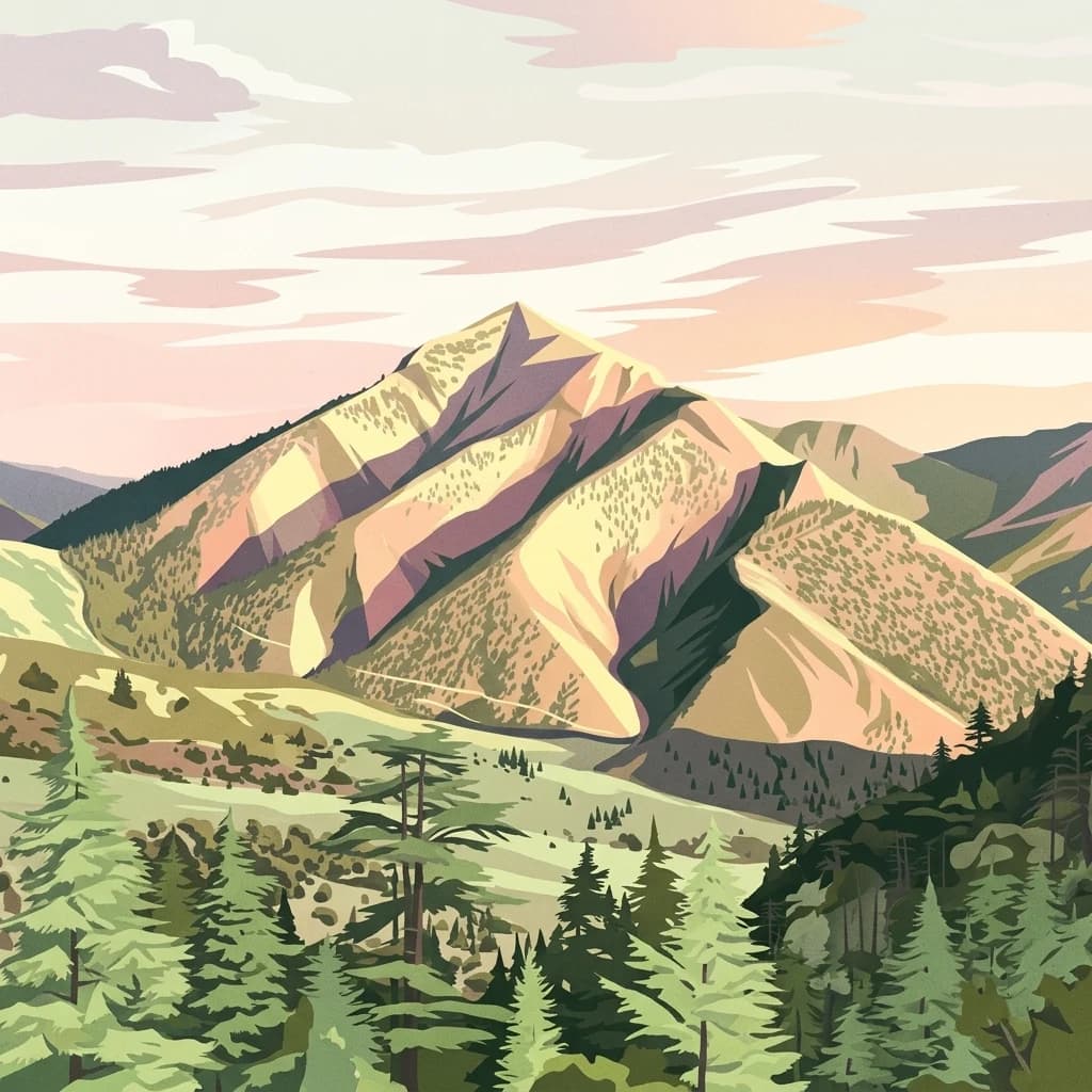
Belezma National Park, in Batna Province, Algeria. Landscapes: mountains, forests, and grasslands.

North
Explore its terrain and protected landscape context.
Jebel Serj National Park, established in 2010, safeguards a significant mountainous territory in central Tunisia, distinguishing itself from the broader semi-arid plains. This protected landscape showcases the Djebel Serj massif, a unique topographical feature that serves as an ecological bridge between Tunisia's northern and southern regions. Users exploring this page can gain an atlas-level understanding of the park's mapped boundaries, its geological character, and its contribution to the conservation of representative natural diversity within North Africa's transitional ecosystems.
South
Mapping a unique Sahelian freshwater ecosystem and seasonal floodplains
Mare de Tabalak serves as one of the most ecologically significant wetlands in Niger. This protected area, characterized by its permanent freshwater lake and vast seasonal floodplains, sits at the intersection of the Ader Doutchi plateaus and the Tadrès sand dunes. The site acts as a major hub for migratory bird populations and supports essential regional pastoral and agricultural livelihoods within the Tahoua landscape.

North
Explore its mapped geography and vital ecosystem context.
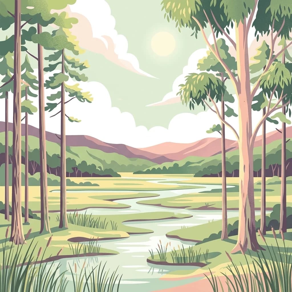
El Kala National Park, in El Taref Province, Algeria. Landscapes: hills, forests, and wetlands.
Northwest
Explore the geographic features and park boundaries.
Djebel Aissa National Park represents a key protected natural landscape within Algeria, serving as a vital point for atlas-driven geographic discovery. Users can explore the park's mapped boundaries and understand its role as a national park within the broader context of Algerian geography. This detailed view highlights the park's specific landscape identity and its contribution to the regional protected areas map, offering a focused look at its terrain and protected status.

North
Explore its mapped terrain and unique protected ecosystem.
Boukornine National Park in Tunisia represents a significant protected landscape, notable for its central granite peak, Jebel Boukornine, which rises sharply above the surrounding coastal plains. This national park, covering approximately 1,939 hectares, preserves a distinctive Mediterranean mountain ecosystem. Its rugged terrain, rocky slopes, and the presence of Aïn Zargua spring support a unique concentration of species, including notable flora and fauna. Understanding Boukornine National Park provides insight into the regional geography and the importance of conserving these mountainous protected areas within Tunisia.

North
Explore geographic context within Jendouba Governorate.
Gain a clear understanding of El Feidja National Park's protected status and its geographic footprint. This page offers detailed insights into the park's mapped boundaries and landscape characteristics, situated within the Jendouba Governorate. It serves as a primary resource for atlas exploration, highlighting the natural terrain and regional significance of this Tunisian national park.

Northeast
Tracing the limestone cliffs and seabird sanctuary of the Maltese archipelago
Filfla is a small, uninhabited limestone islet lying 4.5 kilometres south of the main island of Malta. Defined by its 60-metre sea cliffs and flat plateau, this protected nature reserve functions as a crucial Important Bird Area and a landmark for regional Mediterranean biodiversity. Examine the mapped boundaries and geological profile of this site to understand its status as the southernmost extremity of the Maltese archipelago.
South
Protecting vital aquatic habitats in the Zinder Region
Mare de Lassouri serves as a central hub for wetland conservation within the Zinder Region of Niger. This shallow freshwater basin offers a rich habitat mosaic where migratory waterbirds congregate amid bushy savanna, providing essential ecological value and sustaining local agricultural livelihoods in a resource-scarce Sahelian landscape.
Geographic measurements, not driving distances
Calculated between the nearest points of both park boundaries.
Estimated from one mapped park location to the nearest boundary of the other park.
Estimated between the mapped locations of both parks.
Delve deeper into the protected landscape identity of Tassili n'Ajjer National Park. Understanding its specific geographic context and mapped natural features provides critical insight into the Atlas of protected areas. Continue your exploration to grasp the full scope of its regional significance and unique terrain, enriching your knowledge of Algeria's natural heritage.