Mori Atlas logo
Nearby park discovery

Mapping the high-altitude wetlands and mountain terrain of the Trans-Himalayan zone

Regional Protected Areas and Geographic Landscapes Surrounding Tso Moriri in Ladakh

Navigate the geographic distribution of protected areas and parks located within the vicinity of Tso Moriri. This tool highlights the proximity of neighboring natural sites across the rugged Changthang Plateau, allowing for a structured comparison of high-altitude lake basins, mountain terrain, and regional conservation landscapes throughout Ladakh.

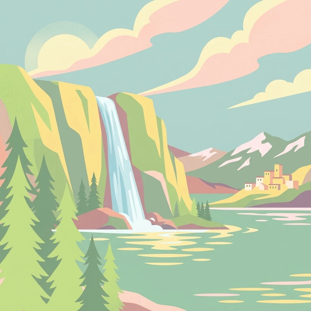
A minimalist, flat-style illustration showing a tall waterfall cascading into a large lake, with evergreen trees in the foreground, mountain peaks in the background, and a small cluster of stone buildings on the shore.

A high-altitude Ramsar wetland lake on the remote Changthang Plateau of Ladakh.

Tso Moriri

Tso Moriri is a high-altitude lake located on the Changthang Plateau in the Ladakh region of India, sitting at roughly 4,500 meters above sea level in one of the most remote Trans-Himalayan landscapes. It is the largest high-altitude lake entirely within India and is recognized internationally as a Ramsar wetland site, drawing formal protection for its unusual combination of oligotrophic, slightly brackish waters and surrounding high-altitude steppe and marsh habitats. The lake basin supports a distinctive ecology shaped by cold desert conditions, glacial meltwater inflows, and pastoral land use by nomadic Changpa herders. Its shallow margins and deltaic marshes sustain a unique avifaunal community, while the broader catchment preserves populations of several globally threatened large mammals typical of the western Tibetan Plateau. The combination of extreme altitude, ecological sensitivity, and cultural significance makes Tso Moriri a landmark site for both conservation and regional identity in Ladakh.

Location
India
Park type
Protected landscape
Established
2002
Area
120 km²
Tso Moriri Protected Landscape Atlas
Regional park map

See the ranked park cluster in its geographic setting

Nearby parks around Tso Moriri

This regional map shows the same 20 nearby parks ranked below around Tso Moriri. Select a ranked marker to highlight that park’s boundary where boundary data is available.
Reference park: Tso MoririRanked nearby park20 nearby parks shown
20 nearby parks

Distance-ranked collection and regional park geography surrounding the high-altitude Trans-Himalayan basin

Parks and Protected Areas Geographically Near Tso Moriri

Examine the ranked collection of protected areas situated close to Tso Moriri using direct geographic separation and directional vectors. Compare surrounding regional landscapes and recorded environmental characteristics to analyze broader protected-area patterns across the high-altitude terrain.
Protected areaLadakh
About 41 km away#1 closest

Northwest

Tso Kar Protected Area: Geographic Overview of Ladakh's High-Altitude Salt Lake

Mapping wetland margins, steppe ecology, and Himalayan basin terrain

Tso Kar is a distinct high-altitude salt lake system on the Rupshu Plateau. This protected area features a striking contrast between mineral-rich salt flats, freshwater lagoons, and surrounding alpine peaks. As a vital wetland, it supports diverse migratory bird populations and nomadic cultural landscapes, making it a key study of environmental complexity within the Indian Himalayas.

Area
22 km²
Established
2020
Relief
Highland
Climate
Alpine
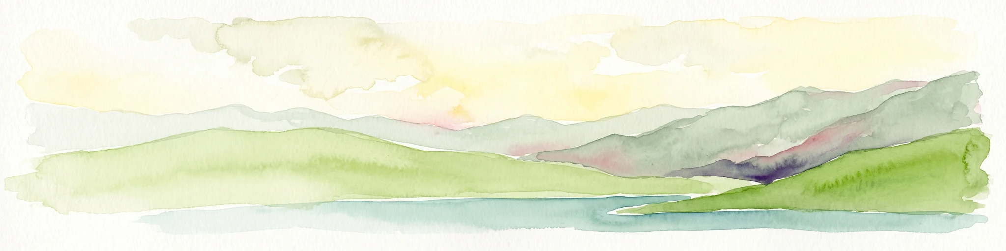
A watercolor painting showing soft green hills and blue mountains bordering a calm lake under a pale sky.
Wildlife reserveHimachal Pradesh
About 80 km away#2 closest

Southwest

Chandratal Wildlife Sanctuary: Geography and Protected Landscape Analysis

High-altitude Himalayan wildlife reserve and wetland

Examine the geomorphology of Chandratal Wildlife Sanctuary, home to one of India's most significant high-altitude lake systems. This detailed record highlights the sanctuary's role in conserving cold-arid alpine environments, from its glacial cirque and mountain scree to the seasonal wildflower carpets of the Western Himalaya.

Relief
Mountain
Climate
Alpine
Access
Moderate access
Scope
Terrestrial
National parkHimachal Pradesh
About 107 km away#3 closest

South

Pin Valley National Park: Remote Himalayan Cold Desert National Park in Himachal Pradesh

Explore its dramatic terrain and unique protected landscape in Spiti Valley.

Pin Valley National Park is a significant protected area covering roughly 675 square kilometers of the cold desert region in Himachal Pradesh, India. Established as a national park, it showcases a remote and rugged Himalayan landscape, characterized by its stark beauty, sparse vegetation, and extreme temperatures typical of high-altitude deserts. The park's geography spans dramatic mountain terrain, steep cliffs, and deep valleys, forming a vital habitat for endangered species and contributing to the unique ecological profile of the Cold Desert Biosphere Reserve.

Area
675 km²
Established
1987
IUCN
II
Relief
Mountain
National parkIndia
About 112 km away#4 closest

Southwest

Inderkilla National Park: Detailed Protected Landscape and Geographic Atlas Entry

Mapping the natural terrain and protected boundaries across India.

Delve into the protected landscape of Inderkilla National Park, a designated national park located in India. This entry provides essential geographic context, focusing on the park's mapped boundaries and its role within the country's protected areas atlas. Understand the specific natural terrain and regional landscape character that defines Inderkilla National Park for detailed geographic exploration.

Area
46.1 km²
Established
2010
Relief
Mountain
Climate
Alpine
National parkHimachal Pradesh
About 116 km away#5 closest

Southwest

Great Himalayan National Park: Protected Landscape and Mapped Geography

Explore this national park's dramatic elevation and rich biodiversity.

Great Himalayan National Park is a vital protected area within India's Himachal Pradesh, celebrated for its exceptional biodiversity and dramatic mountain geography. This national park encompasses a remarkable range of elevations, creating distinct ecological zones from lower forest elevations to high alpine meadows and glacial zones. Its significance as a mapped protected landscape makes it essential for understanding regional natural heritage and conservation efforts within the Himalayas.

Area
1,171 km²
Established
1984
IUCN
II
Relief
Mountain
Watercolor illustration showing mountains, a tree, and a landscape with green and pink tones
National parkHimachal Pradesh
About 125 km away#6 closest

Southwest

Khirganga National Park: Himachal Pradesh National Park Geographic Atlas

Mapped protected area and regional landscape context.

Investigate Khirganga National Park, a designated national park situated within the vast mountain geography of Himachal Pradesh. This atlas-focused entry provides critical details on the park's protected landscape identity, its mapped boundaries, and its significance within the broader regional context of northern India's Western Himalayas. Understand the park's geographic position for detailed landscape exploration.

Area
710 km²
Established
2010
IUCN
II
Relief
Mountain
National parkLeh district
About 145 km away#7 closest

Northwest

Hemis National Park: Exploring India's Protected National Park Geography

Mapped boundaries and landscape context in Leh district.

Hemis National Park represents a distinct protected national park within the Leh district of India, offering unique geographic and landscape attributes for atlas exploration. This detailed entry focuses on the park's role as a conservation area, detailing its mapped extent and its contribution to the regional geography. Understand how Hemis National Park fits into the broader picture of protected lands, providing valuable context for those studying natural landscapes and territorial conservation across India.

Area
4,400 km²
Established
1981
IUCN
II
Relief
Mountain
National parkUttarakhand
About 183 km away#8 closest

Southeast

Gangotri National Park: Uttarakhand National Park and Protected Landscape Discovery

Explore its mapped geography and regional protected area context.

Gangotri National Park serves as a crucial point of reference for understanding protected areas within Uttarakhand, India. As a national park, its defined geographic boundaries and the surrounding natural landscape provide valuable data for regional geography and atlas exploration. This entry offers a detailed look at the park's protected status and its role within the mapped terrain of the Himalayan region.

Area
2,390 km²
Established
1989
IUCN
II
Relief
Mountain
National parkUttarkashi District
About 200 km away#9 closest

South

Govind Pashu Vihar National Park: Exploring India's Uttarkashi District Protected Landscape

Mapped protected area boundaries and regional geographic context.

Investigate Govind Pashu Vihar National Park, a key protected area in Uttarkashi District, India. This resource provides essential information on its designation as a national park, focusing on its geographic spread, mapped landscape features, and its placement within the regional atlas for comprehensive discovery. Understand the distinctiveness of this protected land's terrain and its role in conservation geography.

Area
958 km²
Established
1955
IUCN
II
Relief
Mountain
National parkKishtwar district
About 229 km away#10 closest

West

Kishtwar National Park: Discover Protected Himalayan Wilderness & Geography

Mapped terrain and protected area context in India's Kishtwar district.

Kishtwar National Park is a significant protected landscape situated in the Kishtwar district, India, offering a detailed view of high-altitude Himalayan wilderness. Its dramatic mountainous terrain, from temperate forests to alpine meadows, defines its unique geographic character. Explore the park's mapped boundaries and understand its place within the broader regional geography for comprehensive atlas discovery.

Area
2,190.5 km²
Established
1981
IUCN
II
Relief
Mountain
A watercolor painting showing soft rolling hills and green pine trees against a light sky.
Protected areaHimachal Pradesh
About 230 km away#11 closest

Southwest

Pong Dam Lake Protected Area: Geography, Mapped Terrain, and Himachal Pradesh Wetlands

A vast reservoir bordering the Dhauladhar range

Pong Dam Lake is a sprawling reservoir in Himachal Pradesh that serves as a vital protected area for waterfowl and regional ecosystems. Its geography combines high-altitude dam engineering with the natural relief of the Siwalik foothills, offering a distinct landscape of seasonally shifting shorelines, forested ridges, and deep-water habitats that anchor the local environment.

Area
240 km²
Established
1975
Visitors
5K annual
Relief
Upland
Nature reserveTibet Autonomous Region
About 237 km away#12 closest

East

Qiangtang National Nature Reserve: Regional Geography and Protected Alpine Steppe Boundaries

High-altitude wilderness and alpine wildlife refuge in Tibet

Covering hundreds of thousands of square kilometers of the northern Tibetan Plateau, Qiangtang National Nature Reserve forms a core protected landscape of immense scale. Its terrain is defined by sweeping high-altitude plains, low mountain ranges, and numerous scattered lakes that create a unique and harsh environment. The area remains a globally significant stronghold for native Tibetan species and demonstrates the complex geographic character of the region.

Area
334,000 km²
Established
1993
IUCN
VI
Relief
Highland
Wildlife reservePunjab
About 245 km away#13 closest

Southwest

Nangal Wildlife Sanctuary: A Protected Wetland Refuge in the Punjab Foothills

Mapped riparian landscapes and reservoir habitats in the Sutlej River basin

Located within the Shivalik foothills, Nangal Wildlife Sanctuary preserves a unique man-made reservoir ecosystem. This record details the park's protected boundaries, riparian vegetation, and its role as a essential wetland habitat for regional migratory waterbirds and threatened species in the Punjab river landscape.

Area
1.16 km²
Established
2009
IUCN
IV
Relief
Upland
Wildlife reservePunjab
About 249 km away#14 closest

Southwest

Beas Conservation Reserve: Geographic Atlas of a Punjab Protected Wildlife Landscape

Braided River Systems and Freshwater Biodiversity

Located in northwestern India, the Beas Conservation Reserve protects a vital 185 km river corridor. The reserve is characterized by a complex, shifting mosaic of sand bars and islands that support rare freshwater species. This entry provides detailed insight into the protected boundaries, hydrological features, and regional geography of this unique wetland conservation area in Punjab.

Established
2017
Relief
Lowland
Scope
Terrestrial
Water
Water-dominated
Watercolor painting of a lake surrounded by palms, reeds, and soft hills in the background.
Wildlife reserveHimachal Pradesh
About 266 km away#15 closest

South

Renuka Sanctuary: Protected Wildlife Reserve and Ramsar Wetland Site in Himachal Pradesh

Ecological catchment and forest basin in the low Himalayan hills

Renuka Sanctuary is a dedicated wildlife reserve in Himachal Pradesh defined by the expansive Renuka Lake and its surrounding dry deciduous forest cover. This Ramsar wetland area protects the critical catchment zone of the state's largest natural lake, offering a unique intersection of conservation land and culturally significant natural terrain.

Area
4.028 km²
Water
Major water bodies
A horizontal watercolor painting depicting a meandering river passing through green wetlands and low-lying hills with a soft, misty background.
Protected areaPunjab
About 269 km away#16 closest

Southwest

Ropar Wetland: Geographic Mapping of a Punjab Freshwater Protected Landscape

Riverine and lacustrine geography in the Shivalik foothills.

Ropar Wetland stands as a significant protected area within the Punjab region, defined by its man-made reservoir origin and subsequent ecological maturation. This site serves as a vital transition point between the Shivalik hills and the Indo-Gangetic plains, hosting a dense variety of marshland, forest, and open water habitats that support rare reptile species and extensive bird populations.

Area
13.65 km²
Established
1952
Relief
Lowland
Climate
Subtropical
National parkChamoli district
About 271 km away#17 closest

Southeast

Valley of Flowers National Park: National Park Protected Landscape and Geographic Context

Explore the mapped terrain and regional boundaries of this Himalayan national park.

Valley of Flowers National Park is a distinct protected area within India's Garhwal region, situated in the Chamoli district. This park detail page facilitates atlas-focused discovery, highlighting its mapped boundaries and geographic significance. Users can explore the protected landscape's role within its regional context, providing essential data for understanding its ecological and geographical importance for landscape exploration.

Area
87.5 km²
Established
1982
Relief
Mountain
Climate
Alpine
Watercolor painting of a calm body of water surrounded by greenery and distant mountains under a light sky.
Wildlife reserveUttarakhand
About 279 km away#18 closest

South

Asan Conservation Reserve: Protected Wetland and Reservoir Geography in Uttarakhand

Mapping the landscape of North India's premier Ramsar site

Located in the Doon Valley of Uttarakhand, Asan Conservation Reserve creates a distinct natural refuge within a working hydrological system. This wildlife reserve features shallow reservoir basins and marshy shorelines, providing a key corridor for migratory bird species and serving as an anchor for regional conservation efforts.

Area
4 km²
Established
1967
Water
Water-dominated
Season
Year-round
National parkIndia
About 284 km away#19 closest

South

Simbalbara National Park: National Park in India's Himalayan Foothills

Explore its dense sal forests and unique terrain.

Simbalbara National Park is a protected area recognized for its extensive sal forests and its role as a vital habitat for tigers and other large mammals in the Himalayan foothills of India. The park's landscape is defined by the Kiyarda Dun valley, featuring a mix of dense forest-covered slopes, open grassy glades, and a perennial stream. This protected area offers a representative sample of the sal-dominated forest ecosystems at lower Himalayan elevations, providing a distinct geographic and ecological context for exploration.

Area
27.88 km²
Established
2010
IUCN
II
Relief
Upland
National parkHaryana
About 290 km away#20 closest

South

Kalesar National Park: Exploring Haryana's Unique Sal Forest Protected Landscape

Discover mapped terrain and regional geography within the Shivalik foothills.

Kalesar National Park, located in the Shivalik foothills of Haryana, is a crucial protected area renowned for its natural sal forest, a rare ecological feature in the state. Spanning approximately 53 square kilometers, the park's diverse terrain offers insights into regional geography and conservation, serving as a vital habitat for leopards and a corridor for wild elephants. Its mapped boundaries encompass a unique landscape that contrasts sharply with surrounding agricultural lands, making it a significant point of study for protected-area enthusiasts.

Area
53 km²
Established
2003
IUCN
IV
Relief
Highland
Distance methodology

Geographic measurements, not driving distances

How nearby park distances are calculated

Distances use park boundaries whenever the available geometry allows it. When one or both boundaries are missing, the mapped park locations provide a clearly labelled estimate. Every value represents straight-line geographic separation and does not use roads or routing.

Boundary distance

Calculated between the nearest points of both park boundaries.

Location-to-boundary estimate

Estimated from one mapped park location to the nearest boundary of the other park.

Mapped-location estimate

Estimated between the mapped locations of both parks.

MoriAtlas Explorer

Explore the Geographic Boundaries and Terrain of the Tso Moriri Protected Landscape

Deepen your understanding of this high altitude Himalayan wetland by examining its mapped terrain and regional ecological context. This resource provides a structured look at the lake basin and surrounding Changthang plateau landscapes, powered by the MoriAtlas platform for geographic discovery.

Global natural geography