Mori Atlas logo
Nearby park discovery

Mapping regional surroundings and nearby conservation landscapes across Northland

Protected Areas and Natural Landscapes Geographically Near Waipoua Forest in New Zealand

This geographic discovery view displays protected areas and park boundaries situated near Waipoua Forest. It provides a visual context for the distribution of natural landscapes across this section of New Zealand, illustrating how regional topography and protected land corridors relate to the surrounding forest sanctuary.

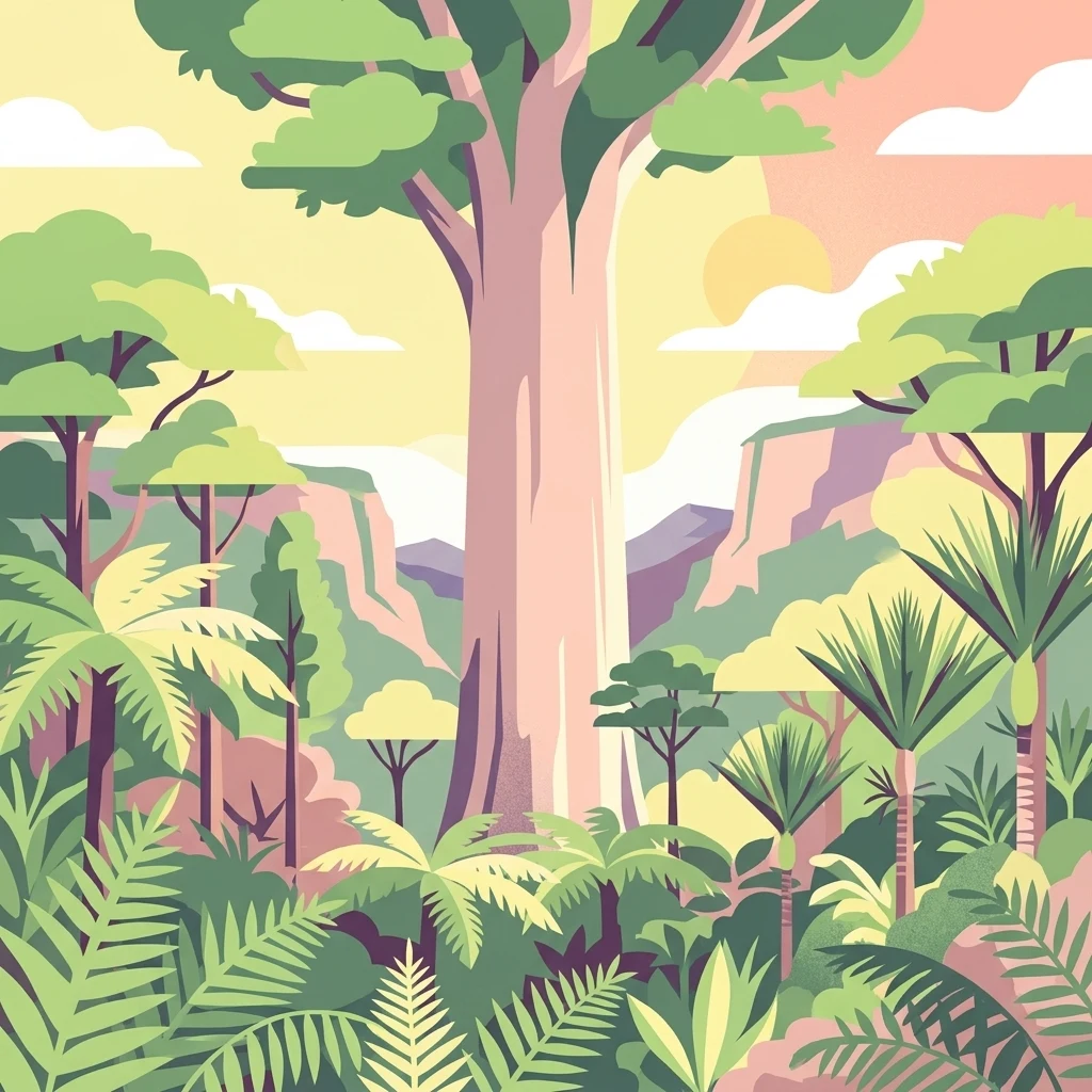
A flat vector illustration of a dense forest scene with a prominent, thick-trunked tree in the center, surrounded by smaller trees and ferns, set against a backdrop of hills under a sunset-colored sky.

A sacred Northland kauri forest guarding New Zealand's largest remaining mature kauri trees.

Waipoua Forest

Waipoua Forest is a protected forest on the west coast of New Zealand's North Island, in the Northland region south of the Hokianga. It holds the largest remaining stand of mature kauri trees in the country and forms, together with the adjacent Warawara and Puketi forests, the stronghold of roughly three quarters of New Zealand's surviving old-growth kauri. The forest is celebrated above all for two colossal living kauri trees, Tāne Mahuta and Te Matua Ngahere, which rank among the largest known trees in New Zealand. The forest is deeply significant to Te Roroa, the Māori people whose ancestral connection with Waipoua stretches back centuries. Since the mid twentieth century it has been actively managed as a sanctuary, with the Waipoua Forest Trust working alongside Te Roroa and the Department of Conservation to protect the forest, restore logged margins, and care for its wildlife. Its combination of enormous ancient trees, dense subtropical forest interior, kiwi populations, and cultural importance makes it one of the most visited natural landmarks in Northland.

Location
New Zealand
Park type
Nature reserve
Established
1952
Area
80 km²
Waipoua Forest Protected Area Atlas
Regional park map

See the ranked park cluster in its geographic setting

Nearby parks around Waipoua Forest

This regional map shows the same 20 nearby parks ranked below around Waipoua Forest. Select a ranked marker to highlight that park’s boundary where boundary data is available.
Reference park: Waipoua ForestRanked nearby park20 nearby parks shown
20 nearby parks

Geographic proximity and regional environment comparisons across nearby protected landscapes

Ranked Protected Areas and Surrounding Parks Near Waipoua Forest

Geographic separation values and directional metrics establish a ranked collection of protected areas surrounding Waipoua Forest. Structured environmental characteristics and country context facilitate meaningful comparisons across adjacent regional park geography.
Nature reserveNorthland Region
About 21 km away#1 closest

Southeast

Kai Iwi Lakes Reserve: A Detailed Look at Northland's Freshwater Dune Lake Geography

Nature reserve featuring dune-formed lake basins and native scrub

Kai Iwi Lakes Reserve is a notable nature reserve in the Northland region, centered on the freshwater lakes of Taharoa, Kaiiwi, and Waikare. This protected area offers insight into sand-sculpted geomorphology, with lake basins formed by windblown dunes and surrounded by a diverse mix of native forest, pine stands, and pastoral land, providing a clear window into Northland's unique inland water geography.

Area
5.38 km²
Relief
Lowland
Climate
Temperate
Access
Moderate access
Nature reserveNew Zealand
About 67 km away#2 closest

East

Waro Limestone Scenic Reserve: Karst Landscapes and Cultural Heritage in Northland, New Zealand

A study in geological formations and industrial history.

Waro Limestone Scenic Reserve offers a concentrated look at Northland geography, featuring vertical limestone outcrops and a flooded quarry set within rural farmland. As a protected nature reserve, it serves as a site of significant Māori cultural heritage while also preserving remnants of early New Zealand industrial activity, such as coal mining and lime extraction, which shaped the surrounding terrain.

Relief
Upland
Climate
Subtropical
Scope
Terrestrial
Water
Minor water
A pale, minimalist watercolor painting depicting soft green and pink hilly island silhouettes rising from a calm, white-toned sea.
Marine protected areaNew Zealand
About 104 km away#3 closest

East

Poor Knights Islands Marine Reserve: Geography and Marine Protected Area Atlas

Exploring coastal cliffs and underwater volcanic terrain

The Poor Knights Islands Marine Reserve encompasses a protected 1,890 hectare marine environment renowned for its steep underwater walls and tunnel systems. Located off the coast of New Zealand, this reserve serves as a critical study area for marine conservation and ecosystem recovery. Explore the geological features, including the Northern Arch and rugged offshore rock stacks, which distinguish this maritime landscape.

Area
18.9 km²
Established
1981
Access
Access unknown
Scope
Marine
Regional parkAuckland Region
About 109 km away#4 closest

Southeast

Te Ārai Regional Park: Mapping Coastal Dune Systems and Protected Geography in Auckland

A protected coastal landscape featuring expansive dune systems and northern headlands.

Te Ārai Regional Park sits as a major protected coastal area on the northern edge of the Auckland Region. Its primary defining feature is an expansive system of sand dunes that anchor a diverse coastal environment. Extending southward toward Poutawa Stream and bordered by the Mangawhai Forest, the park represents a critical geography for endangered species breeding and provides a distinct topographic profile along the North Island coast.

Established
2008
Relief
Lowland
Climate
Subtropical
Access
Easy access
Nature reserveNorthland Region
About 110 km away#5 closest

East

Poor Knights Islands Nature Reserve: Mapped Volcanic Geography and Protected Coastal Landscapes

A rugged island chain offshore from New Zealand's Northland Region.

The Poor Knights Islands serve as an essential protected landscape characterized by sheer volcanic cliffs, natural arches, and extensive sea cave systems. Rising sharply from the sea, these uninhabited islands function as a vital sanctuary for seabirds and native flora, providing a unique look into the deeply eroded remnants of ancient rhyolitic volcanic activity within New Zealand.

Area
2.714 km²
Established
1975
IUCN
Ia
Relief
Upland
A watercolor illustration of a soft green hilly landscape with distant peaks against a white background.
Nature reserveNew Zealand
About 111 km away#6 closest

East

Hen and Chicken Islands Nature Reserve: Mapped Geography and Protected Island Terrain

Archipelago sanctuary and volcanic landscape offshore of New Zealand

Explore the geographic structure of the Hen and Chicken Islands, an uninhabited nature reserve that serves as a vital predator-free sanctuary. The archipelago displays varied volcanic terrain, from the dramatic central ridge of Hen Island to the rugged rocky reefs of the Marotiri islets, offering a clear window into the ecological conservation landscapes of the Northland region.

Area
8.44 km²
Established
1908
Relief
Highland
Climate
Subtropical
Regional parkAuckland Region
About 112 km away#7 closest

Southeast

Te Rau Pūriri Regional Park: Geography and Protected Land Overview for Auckland Region

Coastal harbour landscape and native forest recovery zones

Te Rau Pūriri Regional Park occupies a strategic position on the South Kaipara Head, serving as a protected corridor between agricultural land and the expansive Kaipara Harbour. The park serves as an atlas-worthy example of ecological transition, featuring sandy bays, eucalyptus stands, and native pūriri forests that provide habitat stability within the wider Auckland coastal geography.

Area
2.49 km²
Established
2006
Relief
Lowland
Climate
Temperate
A watercolor painting showing a soft, bright landscape with green grasses and wildflowers on both sides of a calm, pale blue body of water, with a green coastline in the distance.
Marine protected areaNew Zealand
About 129 km away#8 closest

Southeast

Cape Rodney-Okakari Point Marine Reserve: New Zealand Marine Protected Area Geography

Mapped coastal boundaries and marine ecosystem terrain

Delve into the geography of Cape Rodney-Okakari Point Marine Reserve, where protected waters meet a complex interface of greywacke bedrock and sandy substrates. This assessment highlights the ecological transition from exposed rocky headlands to sheltered Whangateau Harbour, illustrating the structural depth of New Zealand's foundational marine site through its diverse invertebrate and fish habitats.

Area
5.5 km²
Established
1975
IUCN
Ia
Visitors
200K annual
Regional parkAuckland Region
About 140 km away#9 closest

Southeast

Te Muri Regional Park: Mapped Coastal Peninsula and Estuarine Geography in Auckland

Protected native forest and tidal estuary landscapes

Te Muri Regional Park presents a unique peninsular landscape situated between the Puhoi River and Te Muri O Tarariki Stream in Auckland. This protected area showcases a complex interface between native coastal forest and tidal ecosystems, offering clear mapped boundaries that connect to the wider Hauraki Gulf coastal belt. Explore the topographical transition from sea level estuaries to rolling hill country.

Area
4.44 km²
Established
2010
Relief
Upland
Scope
Terrestrial
Regional parkAuckland Region
About 142 km away#10 closest

Southeast

Wenderholm Regional Park: Coastal Forest and Estuary Geography in the Auckland Region

Mapped protected landscapes of a coastal New Zealand peninsula

Situated on a narrow peninsula north of Auckland, Wenderholm Regional Park offers a compact study in diverse coastal terrain. The park encompasses the forested Maungatauhoro headland, the tidal Puhoi sandspit, and riverine boundaries that create a distinct protected environment. Since its 1965 founding, the area has become a haven for native bird restoration and coastal vegetation, providing a unique vantage point across the Hauraki Gulf.

Area
1.35 km²
Established
1965
Relief
Mixed relief
Climate
Temperate
A soft watercolor illustration showing the low-lying shape of Motuora Island surrounded by calm water, with a distant hilly coastline in the background.
Nature reserveNorth Island
About 147 km away#11 closest

Southeast

Motuora Nature Reserve: Protected Coastal Island Geography and Restoration Map

Predator-free ecological sanctuary in the Hauraki Gulf

Motuora occupies a key position in the Hauraki Gulf, offering a well-mapped look at coastal island restoration in New Zealand. This protected area features a regenerated forest interior and cliff-edged terrain, serving as an important mainland-island site for avian conservation, including kiwi and petrel colonies.

Area
0.8 km²
Established
1965
Relief
Lowland
Climate
Subtropical
A soft, pale watercolor illustration depicting a winding stream flowing through a lush, green landscape with gentle hills in the background.
Nature reserveNew Zealand
About 156 km away#12 closest

Southeast

Goldie Bush Scenic Reserve: Protected Forested Landscapes in West Auckland, New Zealand

A study in regenerating bush and Mokoroa Stream topography

Goldie Bush Scenic Reserve encompasses a dense, sheltered catchment valley known for its native forest canopy and the prominent Mokoroa Falls. Once heavily logged, this protected area now serves as an example of ecological restoration in the Waitākere Ranges. The reserve maps a blend of cultural history, including Māori fortification sites, against a backdrop of steep ridges and humid, stream-fed lowland terrain.

Area
2.49 km²
Established
1926
Relief
Upland
Scope
Terrestrial
A pale, minimalist watercolor painting showing a grassy island or shoreline with a small cluster of trees, set against a quiet body of water and soft, distant rolling hills.
Protected areaAuckland Region
About 168 km away#13 closest

Southeast

Motumānawa / Pollen Island: Protected Marine Reserve and Scientific Landscape in Auckland

A coastal shellbank island refuge within the Waitematā Harbour.

Motumānawa / Pollen Island is an essential protected area near the Rosebank Peninsula, serving as a sanctuary for native bird populations and estuarine vegetation. Its status as both a scientific and marine reserve highlights the importance of small-scale coastal conservation within a major metropolitan harbour landscape in New Zealand.

Established
2006
Relief
Lowland
Scope
Marine
Water
Water-dominated
Regional parkAuckland Region
About 170 km away#14 closest

Southeast

Waitākere Ranges Regional Park: Geographic Mapping of Auckland's Protected Coastal Forest

Volcanic terrain and expansive coastal wilderness boundaries

Examine the rugged geography of the Waitākere Ranges, spanning from sheer western sea cliffs to lush, regenerating forest valleys. This overview details the protected land, including volcanic rock formations, black sand surf beaches, and the inland reservoirs serving the Auckland region, highlighting its status as an ecologically critical heritage area.

Area
277.2 km²
Established
1895
Relief
Mountain
Climate
Subtropical
A horizontal watercolor painting of a coastal island landscape with rolling green hills, pale distant mountains, and coastal greenery.
Wildlife reserveAuckland
About 180 km away#15 closest

Southeast

Motuihe Island Wildlife Reserve: Protected Landscapes and Hauraki Gulf Geography

Ecological restoration and coastal island history near Auckland

Motuihe Island represents a significant case study in island conservation, featuring intensive native forest regeneration and successful wildlife reintroduction. The mapped landscape details an elongated island geography defined by coastal beaches, sandstone terrain, and rich archaeological layers, serving as a prominent protected reserve for the Auckland region.

Area
1.79 km²
Relief
Lowland
Climate
Subtropical
Access
Moderate access
A watercolor painting showing soft green hills rising above a light blue body of water, with a small patch of reddish-brown land visible in the foreground.
Protected areaAuckland Region
About 184 km away#16 closest

East

Rakitu Island Protected Area: Volcanic Geography and Coastal Landscapes in the Hauraki Gulf

A protected offshore sanctuary near Great Barrier Island

Rakitu Island is an uninhabited 253-hectare protected area that represents a distinct volcanic landscape off the northeast coast of New Zealand. Formed from eroded rhyolite domes, the island features high coastal cliffs and a central valley that now supports native forest regrowth. This predator-free sanctuary offers an essential map perspective on small-scale island conservation and rugged maritime terrain.

Area
2.5 km²
Established
1994
Relief
Upland
Scope
Terrestrial
Regional parkAuckland Region
About 188 km away#17 closest

Southeast

Whakanewha Regional Park: Mapping the Protected Landscapes and Wetlands of Waiheke Island

Coastal forest and wetland geography in the Auckland Region

Whakanewha Regional Park serves as a vital protected area on Waiheke Island, known for its mature broadleaf forests and significant freshwater wetlands. The park provides a compact yet varied landscape of stream valleys and coastal ridgelines, representing a key component of the regional geography within the Hauraki Gulf, sheltered from broader environmental pressures.

Area
2.7 km²
Established
2007
Relief
Upland
Climate
Temperate
A flat-style digital illustration showing a winding river through a valley with pine trees, steep rock cliffs, and a waterfall under a soft sun.
Nature reserveAuckland
About 191 km away#18 closest

Southeast

Puhinui Reserve: Protected Nature Reserve and Volcanic Geography in Auckland, New Zealand

Coastal wetlands, maar craters, and working agricultural lands

Explore the physical geography of Puhinui Reserve, a protected nature reserve in South Auckland. This site encompasses rare saltmarsh habitat, active volcanic maar features, and estuarine environments situated on the shores of the Manukau Harbour. Gain insight into the volcanic ash, alluvium, and peat soil structures that define this unique transitional landscape.

Area
1.99 km²
Established
1991
Relief
Lowland
Climate
Temperate
A soft, watercolor painting of a coastal landscape featuring green rolling hills, distant pale mountains, and patches of vegetation against a white background.
Nature reserveAuckland Region
About 197 km away#19 closest

Southeast

Rotoroa Island Nature Reserve: Mapping the Geography of this Hauraki Gulf Sanctuary

A vital protected island terrain for native species and reforestation

Rotoroa Island serves as a managed conservation landscape within the Hauraki Gulf, defined by its role as a pest-free sanctuary for threatened bird populations and intensive native forest restoration. The island offers a distinct geography that combines maritime coastal terrain with a rich history of social welfare, preserved through intentional land management and active environmental rehabilitation efforts near the Auckland coast.

Area
0.82 km²
Established
2011
Relief
Lowland
Scope
Terrestrial
Regional parkAuckland Region
About 201 km away#20 closest

Southeast

Waitawa Regional Park: Coastal Geography and Recreation Landscapes in Auckland

Mapped terrain along the Tāmaki Strait shoreline

Waitawa Regional Park serves as a notable example of repurposed land within the Auckland Region, featuring an open coastal landscape on the Tāmaki Strait. This protected space, formerly an industrial explosives site, now offers a unique geography of grassy tracks, beach access, and historical remnants. Its layout provides a specialized atlas view of coastal development and public land use for outdoor activity.

Area
1.88 km²
Established
2013
Relief
Upland
Climate
Temperate
Distance methodology

Geographic measurements, not driving distances

How nearby park distances are calculated

Distances use park boundaries whenever the available geometry allows it. When one or both boundaries are missing, the mapped park locations provide a clearly labelled estimate. Every value represents straight-line geographic separation and does not use roads or routing.

Boundary distance

Calculated between the nearest points of both park boundaries.

Location-to-boundary estimate

Estimated from one mapped park location to the nearest boundary of the other park.

Mapped-location estimate

Estimated between the mapped locations of both parks.

MoriAtlas Explorer

Continue Exploring the Geographic Landscape of Waipoua Forest

Uncover the mapped terrain and protected boundaries of Waipoua Forest. MoriAtlas provides a comprehensive view of this ancient kauri stronghold, detailing its role within the Northland ecosystem and its significance as a managed nature reserve in New Zealand's complex geography.

Global natural geography