Mori Atlas logo
Countries

Browse mapped landscapes and explore the geographic distribution of Vietnam's protected lands.

Vietnam National Parks and Protected Areas: An Atlas for Geographic Discovery

Explore Vietnam through its network of national parks and protected areas, offering a detailed view of the nation's diverse natural landscapes and significant geographic regions. This atlas entry point provides structured access to mapped park boundaries and regional terrain, facilitating a deeper understanding of conservation areas across the country. Discover how these protected lands contribute to the rich geography of Southeast Asia.

Related tags

Southeast Asian countrycommunist statecoastal countrypopulous nationmainland southeast asia
About

Explore the geographic distribution of Vietnam's protected areas, detailing park locations across its diverse landscapes.

Discover Vietnam's National Parks: Explore Protected Areas and Mapped Landscapes
Browse a comprehensive atlas of national parks and protected areas throughout Vietnam, including sites from the northern mountains to the Mekong Delta and coastal regions. Understand the strategic geographic spread of conservation landscapes across this Southeast Asian country, providing valuable context for regional park discovery and environmental planning.

Vietnam, officially the Socialist Republic of Viet Nam, is a unitary communist state in Southeast Asia. It occupies roughly 331,000 square kilometres along the eastern edge of Mainland Southeast Asia, with a population exceeding 102 million. The country is bordered by China to the north, Laos and Cambodia to the west, and has maritime boundaries in the Gulf of Thailand and South China Sea.

Vietnam is a Southeast Asian country with a rich history dating back to the 7th century BC. After centuries of Chinese rule, it gained independence in 939 AD and unified under the Nguyen dynasty in 1802. Following French colonial rule and the Vietnam War, the country was reunified in 1976 as the Socialist Republic of Vietnam. Today it is one of two communist states in Southeast Asia and ranks as the 16th most populous country globally. Vietnamese is the official language and the country operates as a unitary single-party communist state.

Largest city:Ho Chi Minh City
Currency code:VND
ISO code:VN
Parks count
18
Capital
Hanoi
Area
331,345 km²
Population
102,300,000 (2,025)

Coastal
Island
Mountainous
Landlocked
Park atlas18 parks

Explore Vietnam's diverse protected landscapes, from tropical forests to coastal marine reserves and mountain ecosystems.

Discover National Parks in Vietnam: Browse Protected Areas and Mapped Geography
Browse a comprehensive list of Vietnam's national parks and protected areas, covering significant conservation landscapes across the country's mainland and island territories. Explore the geographic distribution of these valuable sites, tracing their mapped locations and understanding their regional context within Southeast Asia.
National parkVietnam

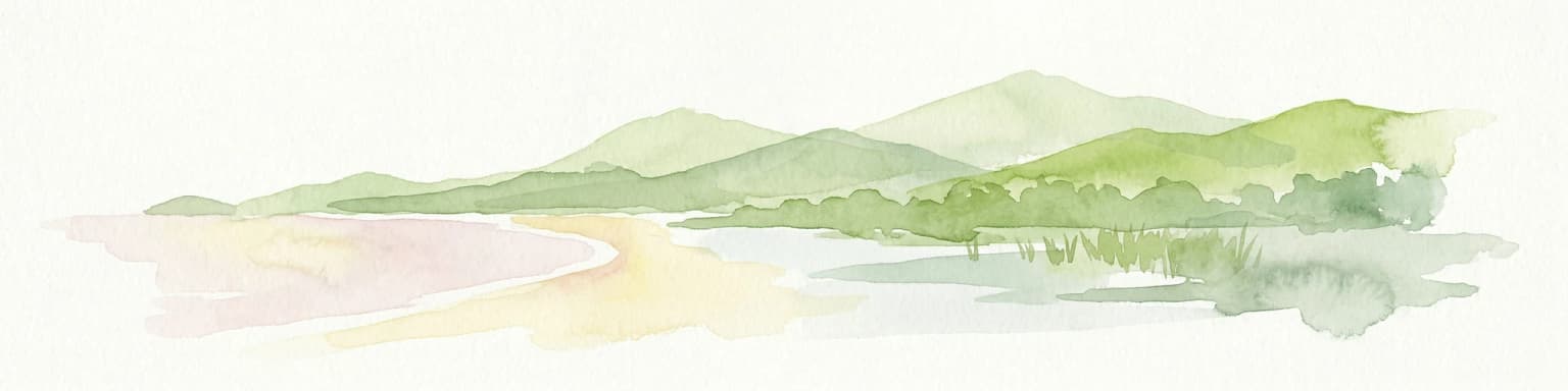
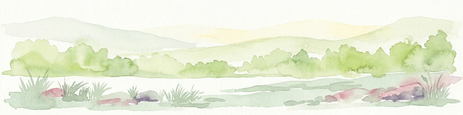
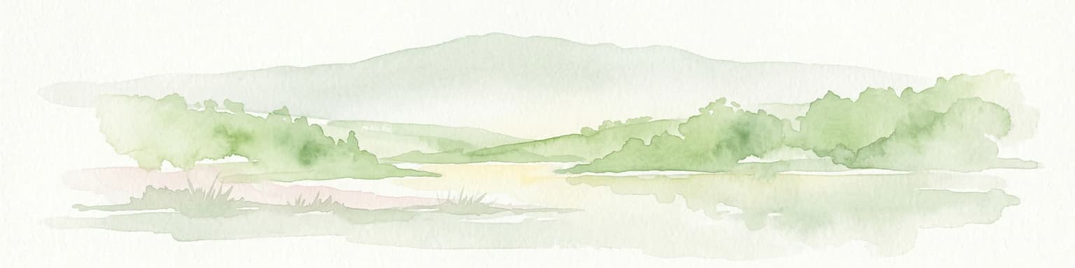
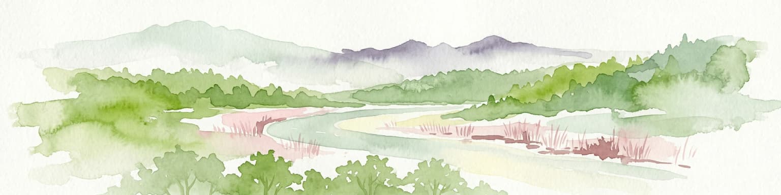
Phong Nha, Kẻ Bàng National Park: Vietnam's Karst Terrain and Subterranean World

Explore protected landscapes, cave systems, and geological wonders.

Phong Nha, Kẻ Bàng National Park in Vietnam is a globally significant protected landscape, recognized by UNESCO for its exceptional karst topography and extensive cave networks. This national park features dramatic limestone mountains, deep river gorges, and some of the world's most impressive subterranean formations, offering a rich atlas of natural history and geological wonders to explore.

Area
857.54 km²
Established
2001
IUCN
II
Visitors
740K annual
National parkBà Rịa–Vũng Tàu province

Côn Đảo National Park: Island Protected Landscape and Marine Geography

Explore mapped terrain and protected land boundaries.

Côn Đảo National Park presents a rich island geography featuring mountainous terrain, dense forests, and vibrant marine ecosystems. As a protected national park, it safeguards crucial habitats for endangered sea turtles and dugongs, alongside extensive coral reef systems and seagrass beds. This detailed atlas entry offers insight into the park's unique landscape context within Bà Rịa, Vũng Tàu province, highlighting its significance for conservation and geographic exploration.

Area
150.43 km²
Established
1993
IUCN
II
National parkKiên Giang Province

Phú Quốc National Park: Comprehensive Protected Island Landscape and Geography

Explore the mapped terrain and unique ecosystems of this national park.

Phú Quốc National Park offers a unique exploration of a fully protected tropical island ecosystem, encompassing significant landmass and marine territory within Kiên Giang Province. As Vietnam's largest island national park, it showcases a diverse array of landscapes, from dense forests blanketing rolling hills to vital coastal and marine protected areas essential for regional biodiversity. This park provides a focused lens for understanding island protected area management and geographic context within the Gulf of Thailand.

Area
314.22 km²
Established
2001
IUCN
II
Relief
Mixed relief
National parkVietnam

Cát Tiên National Park: Vietnam's Premier Protected Lowland Forest and Wetland Atlas

Explore the mapped boundaries and diverse ecosystems of this vital national park.

Cát Tiên National Park represents a significant ecological reserve in southern Vietnam, covering a vast expanse of lowland tropical forest and critical wetland habitats. The park's landscape is shaped by seasonal flooding from the Dong Nai River, creating unique ecosystems like the renowned Bàu Sấu (Crocodile Lake) and supporting diverse flora and fauna. Understanding Cát Tiên National Park's geography, its protected landscape character, and its position within Vietnam offers valuable insights for atlas-based exploration of Southeast Asia's natural heritage.

Area
720 km²
Established
1992
IUCN
II
National parkVietnam

Cát Bà National Park: Vietnam's Critically Endangered Species Sanctuary & Karst Landscape

Mapped protected area with diverse terrestrial and marine ecosystems.

As a critical national park in Vietnam, Cát Bà National Park protects a remarkable limestone karst landscape central to the Hạ Long Bay region. This area is renowned for its steep peaks, narrow valleys, and coastal mangrove environments, supporting a uniquely diverse array of flora and fauna. Its status as a protected area highlights its global importance for conservation, particularly as the exclusive habitat of the Cát Bà langur. Explore the mapped geography and ecological significance of this vital Vietnamese protected land.

Area
152 km²
Established
1986
IUCN
II
National parkĐắk Lắk Province

Yok Đôn National Park: Vietnam's Expansive Lowland Forest Protected Landscape and Regional Geography

Mapped boundaries within Đắk Lắk Province, part of a transboundary conservation area.

Yok Đôn National Park is Vietnam's largest lowland forest national park, covering approximately 1,155 square kilometers in Đắk Lắk Province. This protected area is characterized by its rare khộp forest ecosystem and serves as a crucial refuge for large mammals. Situated near the Cambodian border, it forms a key component of one of Southeast Asia's largest continuous protected area networks, offering significant insights into regional protected landscape geography and conservation connectivity.

Area
1,155.45 km²
Established
1986
IUCN
II
Relief
Lowland
National parkLào Cai Province

Hoàng Liên National Park: Vietnam's Highest Mountain and Botanical Treasure in Lào Cai Province

Discover exceptional mountain terrain and unique endemic species habitat.

Hoàng Liên National Park stands as a critical protected landscape in Lào Cai Province, Vietnam, centered around the iconic Fansipan mountain, the highest point in the Indochinese Peninsula. This national park is renowned as a globally important center for plant diversity, showcasing varied mountain terrain from lush evergreen forests to subalpine ecosystems. Explore the mapped boundaries and geographic context of this significant highland protected area, a key destination for understanding Southeast Asian botanical richness.

Area
685.69 km²
Established
2002
IUCN
II
Relief
Mountain
National parkCà Mau province

Mũi Cà Mau National Park: Vietnam's Southernmost National Park with Extensive Mangrove Wetlands

Explore the mapped geography and protected coastal landscape of Cà Mau province.

Mũi Cà Mau National Park, situated at Vietnam's southernmost tip in Cà Mau province, is a significant protected area dominated by vast mangrove forests and vital coastal wetlands. As a nationally recognized park and an internationally important Ramsar site, it showcases the intricate deltaic geography and the critical ecological functions of mangrove ecosystems. This protected landscape serves as a natural buffer and offers unique opportunities for understanding coastal conservation and the dynamic interplay between land and sea within the Mekong Delta region.

Area
418.62 km²
Established
2003
IUCN
II
National parkVietnam

Bach Ma National Park: Protected Area and Mountain Landscape in Vietnam

Explore the biodiversity and unique geography of this vital national park.

Bach Ma National Park in Vietnam is a protected area defined by its steep, granite-rich mountainous terrain within the Annamite Range. The park’s location at a significant biogeographical crossroads contributes to its exceptional biodiversity, particularly its documented birdlife and varied forest ecosystems. Understanding Bach Ma National Park through its mapped landscape provides critical insight into Vietnam's natural heritage and the ecological dynamics shaped by its unique regional geography.

Area
220 km²
Established
1986
IUCN
II
National parkBắc Kạn Province

Ba Bể National Park: Vietnam's Largest Freshwater Karst Lake and Protected Landscape

Discover the mapped geography of this unique protected wetland in Bắc Kạn.

Ba Bể National Park is distinguished by Vietnam's largest natural freshwater lake, a perennial karst water body set within a dramatic limestone landscape. This national park in Bắc Kạn Province protects a vital wetland ecosystem and its surrounding highland forests, offering a rich geographic context for atlas exploration. Explore the park's unique terrain, mapped boundaries, and the remarkable biodiversity it preserves, making it a cornerstone of regional natural landscape discovery.

Area
100.48 km²
Established
1992
IUCN
II
Relief
Mixed relief
National parkHanoi

Ba Vì National Park: Ancient Volcanic Mountains and Protected Landscape Near Hanoi

Discover the mapped geography and biodiversity of this national park.

Ba Vì National Park, a protected natural area near Hanoi, showcases a dramatic landscape shaped by ancient volcanic activity. The park features three significant peaks, including Vua Mountain, creating a distinct topographical profile. Spanning over 10,800 hectares, it is recognized for its ecological diversity, harboring a wealth of plant and animal species. This national park serves as a vital protected landscape, offering a unique opportunity for geographic exploration and understanding the natural terrain surrounding the Vietnamese capital.

Area
108.15 km²
Established
1991
IUCN
II
Relief
Mountain
National parkVĩnh Phúc Province

Tam Dao National Park: Vietnam's Mountain National Park and Biodiversity Hotspot

Explore mapped boundaries and regional landscape context.

Tam Dao National Park is a key protected area in northern Vietnam, defined by its rugged mountain terrain featuring over 20 peaks exceeding 1,000 meters. This national park is a vital habitat for diverse flora and fauna, including numerous endemic species, and showcases transitional forest ecosystems from tropical to montane zones. Understanding Tam Dao National Park involves exploring its geographic setting within Vĩnh Phúc Province and appreciating its role as a significant protected landscape.

Area
368.83 km²
Established
1996
IUCN
II
Landscape and environment

Understand how Vietnam is shaped by terrain, ecosystems, and seasonal conditions

Vietnam geography, nature, climate, and landscape context for park-focused travel research
Explore the physical geography, natural setting, and climate patterns of Vietnam through a location-first overview built for travel research, national park discovery, and broader regional context. This section helps explain how landscapes, habitats, and environmental conditions shape what people search for, where they travel, and how they experience protected areas in Vietnam.

Vietnam geography and landscape

Vietnam occupies the eastern edge of Mainland Southeast Asia, stretching along the Gulf of Thailand to the southwest and the South China Sea to the east. The country is bordered by China to the north, and Laos and Cambodia to the west. It has a diverse landscape ranging from the Red River Delta in the north to the Mekong Delta in the south.

Explore this place

Related topics and popular queries

Ways to explore Vietnam
Useful phrases, related topics, and discovery prompts connected to Vietnam.
vietnam country informationwhere is vietnam locatedvietnam capital cityvietnam population and areavietnam geography and bordersvietnam countrysoutheast asiahanoi capitalvietnam populationvietnam geographysocialist republic of vietnamvietnam travelvietnam history
Park map

Visualize the extensive network of Vietnam's protected landscapes, tracing their spread across Southeast Asian terrain and coastal regions.

Mapped National Parks and Protected Areas in Vietnam: Explore Geographic Distribution
Preview the geographic distribution of national parks and protected areas across Vietnam, observing their locations from the northern mountains to the Mekong Delta in the south. Open the dedicated country map to explore Vietnam's diverse conservation landscapes in detail, comparing spatial relationships and regional concentrations of natural heritage.

Explore Vietnam's Protected Landscapes, Regional Park Distribution, and Key Geographic Context

Common Questions About National Parks in Vietnam and Protected Areas Geography
Gain essential insights into Vietnam's national parks, their diverse protected areas, and the country's unique conservation geography. These frequently asked questions provide a structured, factual overview to understand the regional distribution of protected landscapes and key park characteristics across Vietnam's expansive terrain.
Other countries

Compare Park Geography Across Southeast Asia and Adjacent Regions for Broader Protected Landscape Exploration

Discover National Parks and Protected Areas in Countries Near Vietnam
Explore the national parks and protected areas across Southeast Asia and neighboring countries after tracing Vietnam's diverse conservation landscapes. This atlas view helps you compare distinct park geographies and find new regions for protected-area discovery, leveraging a structured, country-level index.

Explore Thailand's National Parks and Protected Areas: A Geographic Atlas Overview

Navigate the diverse protected areas of Thailand, from mountainous northern regions to coastal parks. This atlas view offers insights into the geographic distribution of national parks and conservation landscapes, enabling a structured exploration of the country's natural terrain and mapped boundaries. Understand the scope of protected lands and their place within Thailand's broader geography.

36 parks

Philippines National Parks and Protected Areas: Geographic Discovery Atlas

Navigate the diverse geography of the Philippines with this atlas focused on national parks and protected areas. Understand the distribution of protected lands across the Philippine archipelago, from Luzon to Mindanao. This resource facilitates a deeper appreciation of the country's natural terrain and mapped conservation areas, offering a structured way to explore its significant protected landscapes.

15 parks

Cambodia National Parks and Protected Areas: Browse Mapped Landscapes and Geography

Investigate the national parks and protected areas within Cambodia, offering a detailed look at their mapped boundaries and regional geographic settings. This resource facilitates an atlas-style understanding of conservation landscapes, from tropical forests to mountainous terrains, within the Kingdom of Cambodia and the wider Southeast Asian context.

13 parks

Malaysia National Parks and Protected Areas: Mapped Landscapes & Geographic Discovery

MoriAtlas provides a structured geographic overview of Malaysia's national parks and protected areas. Navigate the country's diverse natural landscapes, from marine protected areas to terrestrial parks, gaining insight into their distribution and mapped boundaries. This atlas-style explorer is designed for understanding regional geography and the scope of conservation efforts within Malaysia.

7 parks

Taiwan National Parks and Protected Areas: Geographic Atlas and Landscape Exploration

Delve into Taiwan's protected natural areas and national parks with a geography-focused atlas. This resource allows for exploration of the country's unique landscapes, from its mountainous backbone to its coastal regions, highlighting the distribution and mapped boundaries of its protected lands. Understand the regional context and natural terrain that define Taiwan's conservation efforts.

4 parks

Brunei's National Parks and Protected Areas: Geographic Atlas and Map Exploration

As a gateway to Brunei's natural heritage, this geography-focused atlas provides an overview of the nation's protected areas. Explore the mapped boundaries and geographic spread of national parks and other conservation lands situated on Borneo. Understand the regional context and the natural terrain that defines these vital protected landscapes for structured discovery.

3 parks

Singapore National Parks and Protected Areas: Geographic Discovery and Map Exploration

Navigate Singapore's protected natural areas through a structured geographic lens. MoriAtlas offers tools to explore the mapped boundaries and regional distribution of the country's national parks and conservation landscapes. Understand how these protected areas contribute to the natural terrain and geographic diversity of this unique island city-state, providing a comprehensive atlas-like view for discovery.

3 parks

Myanmar National Parks and Protected Areas: Browse Mapped Landscapes and Regional Geography

This section provides a structured atlas view of Myanmar's national parks and protected lands. Users can explore the geographic distribution and mapped boundaries of these significant natural areas. Understand the regional context and landscape diversity across Myanmar, from mountain parks to conservation areas, facilitating a deeper geographic discovery.

2 parks
MoriAtlas Explorer

Continue Your Global Geographic Exploration with MoriAtlas Park Discovery

Dive deeper into the world's protected landscapes and national parks through MoriAtlas's structured atlas interface. Discover how continents and countries are organized, and how individual park geography fits into the broader map. Our platform is built for understanding the distribution and context of protected areas worldwide, facilitating your journey through global natural geography.

Global natural geography