Mori Atlas logo
Continents

Navigate Australia, New Zealand, and Pacific island nations with mapped park boundaries and regional geography.

Oceania: parks and protected areas

Explore maps and profiles of protected areas in Oceania, including Uluru-Kata Tjuta and Uluru.

Related tags

geographical regionPacific islandsocean regioncontinentAustralasia
Park system

National Parks across Oceania: Exploring Regional Protected Area Patterns and Systems

Comparing diverse island habitats, historical reserves, and park sizes across Pacific nations

Geographic profiles across Australasia and Pacific island territories let users analyze a wide spectrum of national parks, marine sanctuaries, and highland reserves. Analyzing current atlas records helps clarify how park sizes, historical designations, and climate zones vary between isolated island archipelagos and large landmasses.
About

Trace the vast geographic spread of Oceania's national parks, from Australasia's large landmasses to the numerous Pacific island nations.

Discover National Parks and Protected Areas Across Oceania's Diverse Island Geography

Explore the national parks and protected areas across Oceania, a vast geographical region encompassing Australia, New Zealand, Papua New Guinea, and numerous Pacific island nations. This continent-level atlas serves as a key entry point for mapping diverse protected landscapes and understanding their distribution throughout the South Pacific, enabling detailed country-level park discovery.

Oceania is a geographical region in the Pacific Ocean, ranking seventh in area and sixth in population among world regions. The region includes Australia, New Zealand, Papua New Guinea, and numerous Pacific island nations and territories, spanning from Hawaii to Indonesia's eastern provinces.

Oceania is a vast geographical region encompassing the islands of the Pacific Ocean. It includes the continental landmass of Australia, the island nations of the South Pacific, and various territories administered by larger powers. The region is known for its diverse cultures, unique biodiversity, and strategic maritime importance. With a population of approximately 44 million and a nominal GDP of $1.63 trillion, Oceania represents a significant but dispersed population across thousands of islands.

Official name:Oceania
Native name:Oceania
Continent code:OC
Countries
10
Parks count
1,128
Area
9,000,000 km²
Population
44,491,724 (2,021)
Park atlas1,128 parks

Trace the diverse network of national parks and protected landscapes spread across Australasia, Melanesia, Micronesia, and Polynesia.

National Parks in Oceania: Discover Protected Areas Across the Pacific Region

Explore an extensive atlas of national parks and other significant protected areas spanning the diverse islands and landmasses of Oceania. This continent-level view provides essential geographic context, allowing you to trace conservation efforts and explore distinct ecological zones across the Pacific.
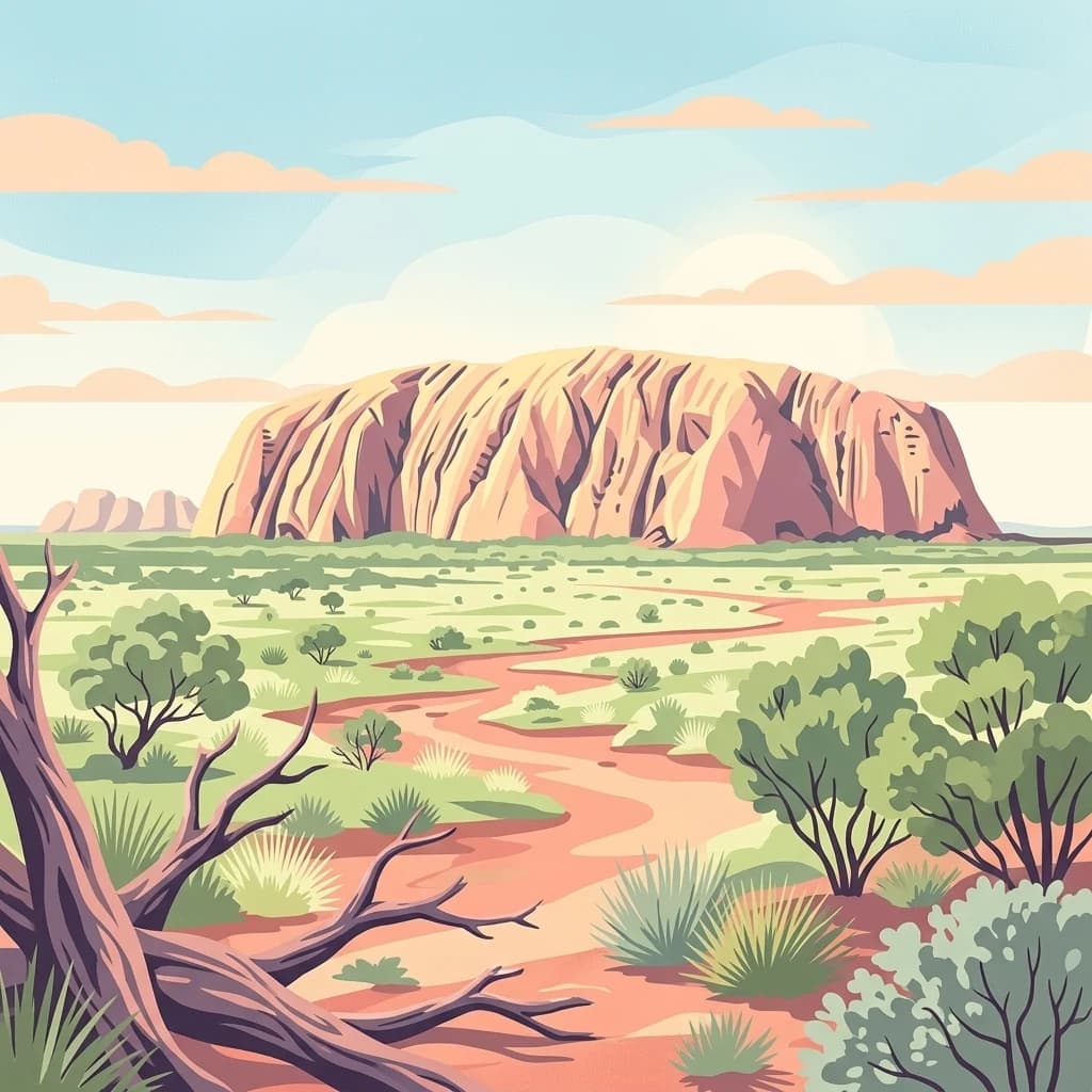
A digital illustration of the large red rock formation Uluru rising above a flat, dry desert landscape with scrub vegetation and a winding red dirt path in the foreground.
National parkAustralia

Uluru-Kata Tjuta National Park: An Atlas View of Australia's Iconic Desert Formations

Mapping the protected geology and arid ecosystems of the Red Centre.

Navigate the rugged geography of Uluru-Kata Tjuta National Park, where ancient sandstone monoliths and towering conglomerate domes dominate the horizon. This atlas entry focuses on the park's physical boundaries, regional terrain characteristics, and the vast desert plains that define its protected status in the heart of Australia.

Area
1,333.72 km²
Established
1958
IUCN
II
Visitors
400K annual
An illustration of a deep glacial valley with cascading waterfalls, a flowing river, and dense forest, characteristic of Fiordland National Park.
National parkSouthland Region

Fiordland National Park

Explore its vast boundaries and unique temperate rainforest.

Glacially carved fiords, including Milford Sound, meet alpine peaks and temperate rainforests in New Zealand's Southland region.

Area
12,607 km²
Established
1952
IUCN
II
Visitors
500K annual
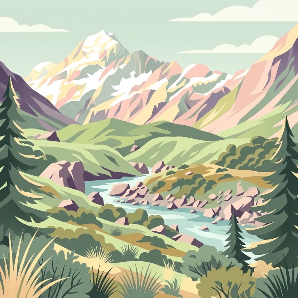
A stylized flat illustration of a snow-capped mountain range rising above a winding river valley with evergreen trees and alpine scrub.
National parkCanterbury Region

Aoraki / Mount Cook National Park

Mapped glacial terrain and mountain peaks in the Canterbury Region.

Aoraki / Mount Cook rises above the Southern Alps alongside extensive icefields and glaciers, including the Tasman Glacier.

Area
707 km²
Established
1953
IUCN
II
Visitors
1M annual
National parkAustralia

Kakadu National Park

Explore Kakadu National Park's mapped boundaries and natural terrain.

Tropical wetlands and Aboriginal rock art at places such as Ubirr and Nourlangie bring natural and cultural landscapes together.

Area
19,804 km²
Established
1979
IUCN
II
Visitors
250K annual
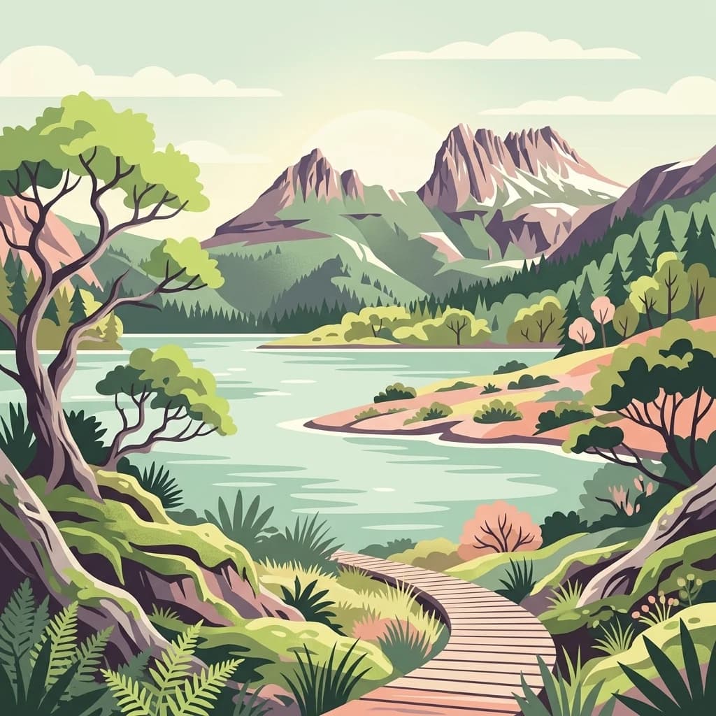
An illustrative digital art piece showing a winding wooden boardwalk leading through a lush, fern-filled forest towards a calm, light-green alpine lake backed by towering, craggy mountain peaks.
National parkTasmania

Cradle Mountain, Lake St Clair National Park

Explore national park boundaries and regional natural terrain.

Cradle Mountain, Lake St Clair National Park, in Tasmania, Australia. Landscapes: mountains, valleys, and lakes.

Area
1,614.43 km²
Established
1922
IUCN
II
Visitors
209K annual
An artistic illustration featuring a prominent, snow-capped volcanic peak centered in the background, overlooking a valley with a winding river, surrounded by lush green forests and rocky foreground terrain.
National parkNew Zealand

Tongariro National Park: New Zealand's Premier Volcanic National Park Atlas

Explore mapped terrain, active volcanoes, and unique dual World Heritage values.

Tongariro National Park, situated in New Zealand's North Island, is a globally significant protected area celebrated for its dramatic volcanic landscapes and profound cultural heritage. As the nation's oldest national park, it features three active volcanoes: Mount Ruapehu, Mount Ngauruhoe, and Mount Tongariro, set within a diverse terrain that includes forests, alpine zones, and the Rangipo Desert. Its dual World Heritage status underscores its importance for both natural attributes and its sacred cultural landscape, offering rich opportunities for geographic and atlas exploration.

Area
795.96 km²
Established
1887
IUCN
II
Relief
Mountain
An illustrative digital artwork depicting the Three Sisters sandstone peaks in the Blue Mountains, surrounded by lush eucalyptus forest and misty valleys.
National parkNew South Wales

Blue Mountains National Park

Explore New South Wales park geography and natural terrain.

Blue Mountains National Park, in New South Wales, Australia. Landscapes: valleys, cliffs, and forests.

Area
2,679.54 km²
Established
1959
IUCN
II
Visitors
8.4M annual
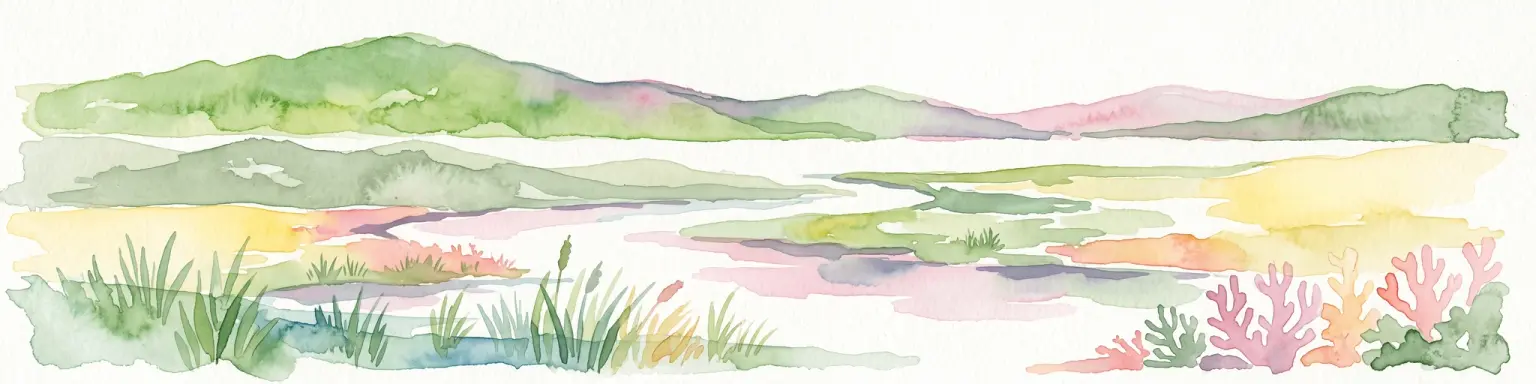
A wide watercolor illustration showing green hills in the distance, a body of shallow water with pink and green patches, and foreground vegetation including green grasses and pink coral-like structures.
Marine protected areaQueensland

Great Barrier Reef Marine Park

Exploring the reef system and marine conservation zones in northeastern Australia

Great Barrier Reef Marine Park, in Queensland, Australia. Landscapes: coasts, islands, and reefs.

Area
343,966 km²
Established
1975
Climate
Tropical
Scope
Marine
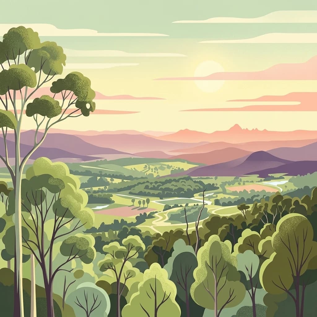
A digital illustration showing a panoramic view of a valley with lush forests and distant mountain ranges at sunrise.
National parkQueensland

Lamington National Park

Mapped protected landscape with over 500 waterfalls and unique cloud forests.

Lamington National Park, in Queensland, Australia. Landscapes: mountains, valleys, and plateaus.

Area
206 km²
Established
1915
IUCN
II
Visitors
1.2M annual
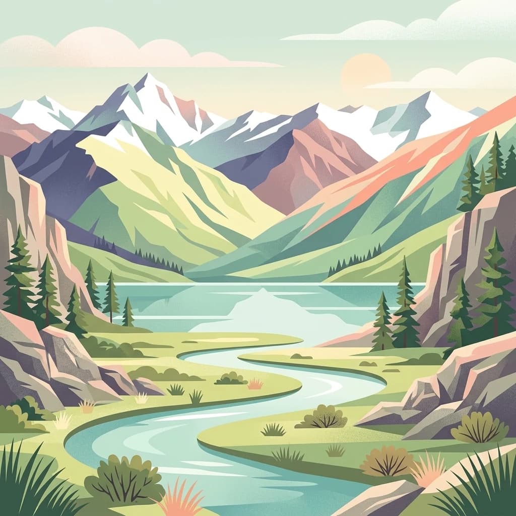
A stylized, flat-design illustration showing a winding river flowing through a green valley toward snow-capped mountains in the distance, framed by coniferous trees and rocky outcrops.
National parkOtago

Mount Aspiring National Park

Explore the U-shaped valleys and mapped boundaries of this iconic national park.

Mount Aspiring National Park, in Otago, New Zealand. Landscapes: mountains, valleys, and glaciers.

Area
3,562 km²
Established
1964
IUCN
II
Relief
Mountain
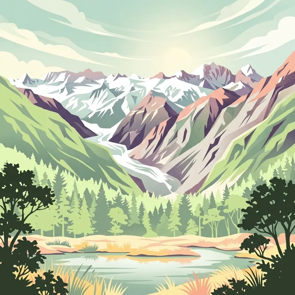
An illustration showing a valley with a central glacier, surrounded by steep mountains and a foreground forest with a small lake.
National parkWest Coast

Westland Tai Poutini National Park: A Protected Landscape of Glaciers and Temperate Rainforests

Explore its mapped terrain and unique glacial features in West Coast, NZ.

Westland Tai Poutini National Park represents a remarkable intersection of glacial power and lush temperate rainforests along New Zealand's West Coast. As a protected national park, it showcases dramatic alpine scenery and the unique characteristic of glaciers descending to low elevations. Users can explore the mapped boundaries and the distinct natural landscapes that define this significant protected area, offering a clear view of its place within the region's geography.

Area
1,319.8 km²
Established
1960
IUCN
II
Relief
Mountain
National parkSouth Australia

Naracoorte Caves National Park

Explore its unique protected geography and natural terrain.

Naracoorte Caves National Park, in South Australia, Australia. Landscapes: caves and karst.

Area
6.6 km²
Established
2001
IUCN
II
Visitors
90.8K annual
Landscape and environment

Understand how Oceania is shaped by terrain, ecosystems, and seasonal conditions

Oceania geography, nature, climate, and landscape context for park-focused travel research

Explore the physical geography, natural setting, and climate patterns of Oceania through a location-first overview built for travel research, national park discovery, and broader regional context. This section helps explain how landscapes, habitats, and environmental conditions shape what people search for, where they travel, and how they experience protected areas in Oceania.

Oceania geography and landscape

Oceania spans the Pacific Ocean from Southeast Asia to the Americas, encompassing islands, archipelagos, and the Australian continent. The region includes Melanesia, Micronesia, Polynesia, and Australasia. It stretches from UTC+9 in the west to UTC-6 in the east, covering a vast oceanic area.

Oceania nature and environment

Oceania contains diverse ecosystems including the Great Barrier Reef, tropical rainforests of Papua New Guinea, Australian deserts, and Pacific island environments. The region is known for unique endemic species and extensive marine biodiversity.

Oceania climate and seasonal conditions

Oceania spans multiple climate zones from tropical in the Pacific islands to temperate in New Zealand and arid in Australia's interior. The region experiences cyclones in the Pacific and diverse seasonal patterns.

Explore this place

Related topics and popular queries

Ways to explore Oceania

Useful phrases, related topics, and discovery prompts connected to Oceania.
where is Oceaniawhat countries are in OceaniaPacific island nations listOceania population and areaOceania geography and climateOceania regionPacific islandsSouth PacificAustralasiaOceanian countriesMelanesiaMicronesiaPolynesiaAustralia and New ZealandPacific island nations
Countries

Explore the atlas of protected landscapes, charting country-specific park geography across the vast Oceania region.

Oceania National Park Countries: Explore Protected Areas by Nation

Explore the comprehensive list of countries in Oceania, each offering a distinct collection of national parks and other vital protected natural areas across diverse Pacific and Australasian landscapes. This continent-level view provides essential geographic context, allowing you to trace the distribution of conservation efforts and plan your deeper park discovery by nation.
Australia

Australia: parks and protected areas

Parks and protected areas in Australia, including Uluru-Kata Tjuta and Uluru.

998 parks
Marshall Islands

Marshall Islands: parks and protected areas

Parks and protected areas in Marshall Islands, including Majuro and Kwajalein.

13 parks
Papua New Guinea

Papua New Guinea: parks and protected areas

Parks and protected areas in Papua New Guinea, including Wilhelm and Lake Kutubu.

9 parks
Micronesia

Federated States of Micronesia: parks and protected areas

Parks and protected areas in Federated States of Micronesia, including Kuop Atoll and Utwe-Walung.

4 parks

Discover the continent's distinct geographic distribution of protected landscapes and park systems.

Frequently Asked Questions: Understanding National Parks and Protected Areas in Oceania

Gain essential insights into the national parks, marine reserves, and diverse protected areas found throughout Oceania, including Australia, New Zealand, and numerous Pacific island nations. These common questions offer a geographic lens to understand the distribution, conservation challenges, and unique ecological contexts of the continent's varied protected landscapes.

Protected area types

Protected-area designations

Choose a designation to see its countries and park listings.

Global Protected Area Designations Atlas
MoriAtlas Explorer

National parks and protected areas worldwide

Find a park and explore its geography, habitats, and monthly climate.

Global natural geography