Mori Atlas logo
Nearby park discovery

Regional geography and landscape distribution across the southern Apennine mountain range

Protected Areas and National Parks Near Appennino Lucano - Val d'Agri - Lagonegrese National Park

Compare the geographic distribution of protected areas adjacent to the Appennino Lucano - Val d'Agri - Lagonegrese National Park. This regional mapping overview illustrates the proximity of nearby wilderness and mountain landscapes within the southern Italian Apennine corridor.

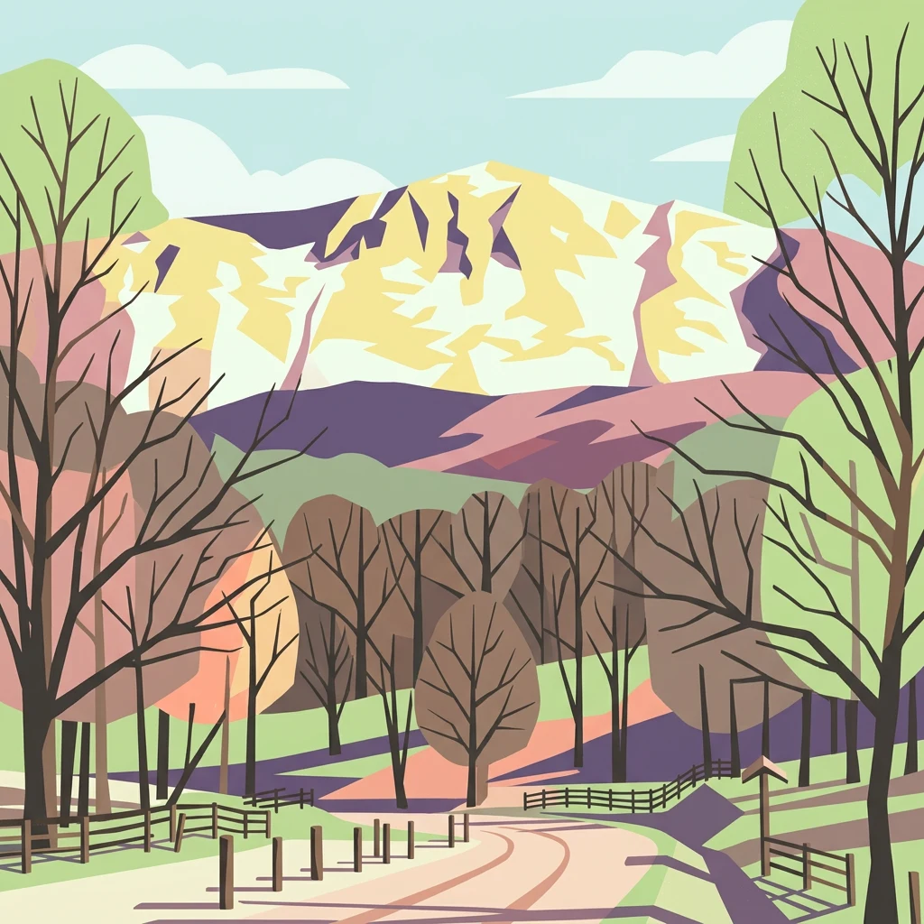
Stylized illustration of a snow-capped mountain range with bare trees, a dirt road, and wooden fences in a forested landscape

Mountain wilderness linking the Pollino and Cilento parks in the heart of Basilicata

Appennino Lucano - Val d'Agri - Lagonegrese National Park

Appennino Lucano - Val d'Agri - Lagonegrese National Park is a protected mountain landscape in the southern Italian Apennines, established in 2007 in the Basilicata region. The park spans approximately 69,000 hectares across 29 municipalities in the Province of Potenza, encompassing the Lucano Apennine range, the Val d'Agri basin, and the Lagonegrese area. This relatively young Italian national park represents one of the most significant recent additions to Italy's protected area network, protecting a rugged mountainous territory that serves as a critical ecological corridor between two major southern Italian parks: Pollino National Park to the south and Cilento and Vallo di Diano National Park to the west. The park features diverse elevation gradients, from valley bottoms along the Agri River to dramatic peaks exceeding 2,000 meters, supporting varied ecosystems and traditional rural landscapes that define the character of inland Basilicata.

Location
Italy
Park type
National park
Established
2007
Area
690 km²
Appennino Lucano - Val d'Agri - Lagonegrese National Park Atlas
Regional park map

See the ranked park cluster in its geographic setting

Nearby parks around Appennino Lucano - Val d'Agri - Lagonegrese National Park

This regional map shows the same 20 nearby parks ranked below around Appennino Lucano - Val d'Agri - Lagonegrese National Park. Select a ranked marker to highlight that park’s boundary where boundary data is available.
Reference park: Appennino Lucano - Val d'Agri - Lagonegrese National ParkRanked nearby parkSelected boundary: Appennino Lucano - Val d'Agri - Lagonegrese National Park20 nearby parks shown
20 nearby parks

Geographic proximity and regional terrain comparison across surrounding Apennine landscapes

Ranked Protected Areas and Parks Near Appennino Lucano - Val d'Agri - Lagonegrese National Park

Spatial distance measurements determine this ranked collection of protected natural areas surrounding Appennino Lucano - Val d'Agri - Lagonegrese National Park. Structured boundary metrics and regional environmental traits provide clear comparison signals for analyzing broader southern mountain ecosystems.
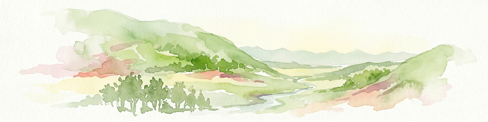
Watercolor illustration showing green hills, a valley, and pink rock formations under a pale sky
National parkBasilicata
Park boundaries overlap#1 closest

Southeast

Pollino National Park: Protected Landscape of Ancient Forests and Alpine Terrain

Italy's largest national park and UNESCO Global Geopark

Pollino National Park, located in the Basilicata region, is a significant protected landscape renowned for its extensive ancient forests, particularly its rare Bosnian pines, and its dramatic, high-altitude mountain geography. Covering over 1,925 square kilometers, this national park is also recognized as a UNESCO Global Geopark, highlighting its exceptional geological heritage and unique ecosystems. The park's rugged terrain, soaring peaks, and rare ancient trees offer rich opportunities for understanding regional protected areas and mapped natural landscapes in southern Italy.

Area
1,925.65 km²
Established
1992
IUCN
II
Relief
Mountain
Watercolor painting showing mountains, a lake, and grassy fields
National parkItaly
7.4 km away#2 closest

Southwest

Cilento, Vallo di Diano and Alburni National Park: An Italian National Park's Geographic and Protected Landscape Identity

Mapped protected area boundaries and regional context.

Delve into the core geographic and protected-area characteristics of Cilento, Vallo di Diano and Alburni National Park. As a designated National Park in Italy, its mapped boundaries and landscape context are essential for atlas exploration. This entry provides the foundational geographic understanding needed to place this protected land within a broader map-based discovery framework, highlighting its significance as a natural landscape.

Area
1,810.48 km²
Established
1991
IUCN
II
Relief
Mountain
Watercolor illustration showing green grasslands, distant hills, and a winding path under a light sky
National parkItaly
51 km away#3 closest

Northeast

Alta Murgia National Park: National Park Exploration and Protected Landscape Context

Explore mapped terrain and regional geography.

Alta Murgia National Park is a designated national park offering unique opportunities for geographic discovery. Delve into its protected landscape, understand its mapped boundaries, and situate it within the broader Italian atlas. This entry provides essential context for exploring the park's terrain and regional significance.

Area
677.39 km²
Established
2004
IUCN
II
Relief
Mixed relief
Watercolor illustration of a lake surrounded by green landscape with mountains in the background
National parkCalabria
80 km away#4 closest

Southeast

Sila National Park: Protected Landscape and Geographic Context in Calabria

Explore its mapped boundaries and regional natural area.

Sila National Park represents a vital protected landscape within the Calabria region, situated in southern Italy. This page details its specific geographic features and mapped park boundaries, offering a focused view of its place within the broader Italian atlas. Understanding Sila National Park provides insight into the region's natural terrain and the distribution of its protected lands, serving as a key point for geographic discovery.

Area
736.95 km²
Established
2002
IUCN
II
Relief
Mixed relief
Watercolor illustration of a mountainous landscape with green hills, a valley with a river, and distant mountains under a pink and yellow sky
National parkCampania
100 km away#5 closest

West

Vesuvius National Park: Protected Volcanic Landscape in Campania, Italy

Explore mapped boundaries and regional geography.

Discover Vesuvius National Park, a vital protected area safeguarding Italy's iconic active volcano. This page provides essential geographic context, detailed mapped terrain, and insights into the park's unique volcanic landscape within the Campania region. It serves as a key entry point for understanding the park's protected status and its geological significance for structured atlas exploration.

Area
72.59 km²
Established
1995
IUCN
II
Relief
Mountain
Watercolor illustration of a tree, green hills, and distant water view
National parkApulia
105 km away#6 closest

North

Gargano National Park: Apulia's Protected Landscape and Regional Geographic Context

Mapped boundaries and natural terrain of a key Italian national park.

Delve into Gargano National Park, a designated national park situated in the Apulia region of Italy. This protected landscape offers valuable insights into the geography of the Gargano promontory. Through MoriAtlas, users can explore its mapped boundaries, understand its terrain, and connect it to the broader regional geography of southern Italy, providing a solid foundation for protected-area discovery.

Area
1,181.44 km²
Established
1991
IUCN
II
Relief
Mixed relief
A wide panoramic watercolor painting showing a landscape with a body of water in the foreground, green grasses and trees on the banks, and layers of purple and pink hills in the distance under a pale sky.
Nature reserveAbruzzo
About 186 km away#7 closest

Northwest

Riserva naturale regionale Marina di Vasto: Coastal Nature Reserve in Abruzzo, Italy

Mapping protected Adriatic dune and wetland ecosystems

This nature reserve protects a vital 3-kilometer strip of the Adriatic coastline in Abruzzo, acting as a rare sanctuary for specialized flora and fauna. By managing a delicate ecotone of shifting sand dunes and brackish wetland basins, the area maintains a high degree of ecological significance within the regional landscape. The geography provides an important look at integrated coastal conservation at the meeting point of urbanized hinterlands and the Adriatic sea.

Area
0.57 km²
Established
2007
Relief
Lowland
Climate
Mediterranean
Watercolor illustration of a mountainous landscape featuring a winding river, trees, and grass.
National parkCalabria
187 km away#8 closest

South

Aspromonte National Park: A Protected National Park within Calabria's Geographic Atlas

Explore its mapped terrain and regional landscape context.

Aspromonte National Park represents a crucial element within the protected landscapes of the Calabria region. This page serves as an in-depth atlas entry, detailing the park's geographic features and its specific context within southern Italy's broader natural terrain. Users can explore the park's mapped boundaries and understand its significance as a protected area within the Italian peninsula's rich geography.

Area
641.53 km²
Established
1989
IUCN
II
Relief
Mountain
Watercolor painting showing mountains, forests, and a body of water in a scenic landscape
National parkAbruzzo
190 km away#9 closest

Northwest

Maiella National Park: Abruzzo's Protected Landscape and Regional Geography

Explore mapped park boundaries and natural terrain.

Delve into the protected landscape of Maiella National Park, situated within the Abruzzo region of southern Italy. This page offers detailed atlas-level insights into its mapped boundaries, allowing for a clear understanding of its geographic setting. Discover how this national park contributes to the regional natural terrain and protected area context, providing a foundation for structured geographic exploration.

Area
628.38 km²
Established
1991
IUCN
II
Relief
Mountain
Watercolor painting showing a landscape with rolling green hills, a river, and scattered trees
National parkItaly
About 202 km away#10 closest

Northwest

Abruzzo, Lazio and Molise National Park

Protected landscape in Italy's Apennines.

Explore the mapped boundaries and protected status of Abruzzo, Lazio and Molise National Park. This historic Italian national park offers a detailed look at Apennine mountain geography and landscape.

Established
1923
IUCN
II
A soft watercolor painting of a coastal landscape with rolling green hills, scattered trees, and a light-colored sandy foreground, rendered in a minimalist style.
Nature reserveAbruzzo
About 222 km away#11 closest

Northwest

Punta dell'Acquabella Nature Reserve: Adriatic Coastal Landscape and Geography

Protected Mediterranean shoreline in the Abruzzo region of Italy

Punta dell'Acquabella is a distinct nature reserve on the Adriatic coast of Abruzzo, characterized by its promontory, cliff habitats, and clear coastal waters. The area serves as a significant intersection of natural heritage and cultural landscape within the Trabocchi coast, offering a deep look into the regional geography and environmental features that define this protected territory.

Area
0.28 km²
Established
2007
Relief
Upland
Climate
Mediterranean
Watercolor illustration showing a coastal landscape with green hills, trees, and water body
National parkItaly
228 km away#12 closest

Northwest

Circeo National Park: Protected Landscape of Italy's Lazio Coast

Explore mapped terrain and Mediterranean ecosystem boundaries.

Circeo National Park offers a distinct protected landscape anchored by the striking Monte Circeo limestone promontory and its associated coastal dunes and island environments. As one of Italy's earliest national parks, it preserves a vital mosaic of Mediterranean ecosystems, providing a unique subject for geographic study and atlas-based navigation of protected areas. Users can explore its mapped context and the interplay between karst geology, coastal terrain, and diverse natural habitats.

IUCN
II
Watercolor painting of mountains, green valleys, and a river
National parkItaly
236 km away#13 closest

Northwest

Gran Sasso and Monti della Laga National Park: Italy's National Park Geographic Context

Mapped protected areas and regional natural landscape details.

Delve into the geography of Gran Sasso and Monti della Laga National Park, a prominent national park in Italy. This resource provides essential context for understanding its protected landscape, mapped boundaries, and integration within the regional geography. Ideal for users seeking detailed atlas-style information on protected areas and their natural terrain, it serves as a foundational point for exploring the park's unique geographic character and landscape significance.

IUCN
II
Watercolor illustration of rolling hills, green vegetation, and distant mountains under a light sky
Protected areaCroatia
245 km away#14 closest

North

Lastovo Nature Park: Discover the Adriatic Karst Archipelago's Protected Landscape

Mapped karst terrain, ancient architecture, and natural island geography.

Lastovo Nature Park protects a remote Croatian archipelago characterized by its striking karst landscape, featuring 46 hills and 46 karstic fields. This protected area offers significant natural biodiversity and remarkably preserved cultural heritage, with extensive Holm Oak and Aleppo Pine forests covering over 60% of the island. Explore Lastovo's unique geography, mapped terrain, and its distinct place within the Adriatic region.

Area
46.87 km²
Established
2006
IUCN
V
Relief
Upland
Watercolor painting showing two pink-hued lakes surrounded by green vegetation and distant mountains under a light yellow sky
National parkCroatia
271 km away#15 closest

Northeast

Mljet National Park: Protected Karst Terrain and Unique Marine Lakes in Croatia

Explore mapped park boundaries and Mediterranean island geography.

Mljet National Park represents a significant protected landscape within the Adriatic Sea, celebrated for its distinctive karst terrain and the extraordinary phenomenon of its saltwater lakes, Veliko and Malo jezero. This national park showcases some of the most intact Mediterranean forests in the region, offering a unique geographic profile for atlas-based discovery. Examine the park's protected status and its relationship to the surrounding island and marine geography.

Area
53 km²
Established
1960
IUCN
II
Relief
Lowland
A soft watercolor painting of a coastal landscape with green hills meeting a light, abstract water or shoreline, with faint mountains in the background.
Nature reserveVlorë County
About 273 km away#16 closest

East

Karaburun Peninsula Nature Reserve: Mapping the Coastal Karst and Marine Landscapes

Protected rugged cliffs in Vlorë County, Albania

Karaburun Peninsula is a significant protected area defined by high limestone ridges and a heavily indented western shoreline. The terrain features numerous sea caves, historic bays, and prominent headlands that descend directly into the sea. As a vital nature reserve, it preserves the natural integrity of this mountainous coastal stretch within Vlorë County, offering a clear geographic overview of one of Albania's most remote wilderness areas.

Area
62 km²
Relief
Mountain
Climate
Mediterranean
Access
Moderate access
Watercolor scene featuring a blue lake, green trees, and mountains under a yellow-pink sky
National parkAlbania
About 273 km away#17 closest

East

Karaburun-Sazan Marine Park: A National Park with Dramatic Limestone Cliffs and Island Ecosystems

Explore Albania's protected coastline and marine geography.

Karaburun-Sazan Marine Park, Albania's sole national park, offers a profound exploration of a unique protected landscape. This marine protected area combines the rugged Karaburun Peninsula, characterized by high limestone cliffs, with Sazan Island, Albania's largest island, known for its distinct geology and subtropical climate. The park's waters are critical habitats for endangered species, making it a significant site for marine biodiversity and regional geographic study. Discover the mapped boundaries and ecological context of this vital protected area.

Area
124.377 km²
Established
2010
IUCN
II
Relief
Mixed relief
Protected landscapeAlbania
About 277 km away#18 closest

East

Vjosa-Nartë Protected Landscape: Geographic Boundaries and Wetland Atlas of Albania

Coastal lagoons, saltpans, and Adriatic delta systems

Vjosa-Nartë Protected Landscape offers a deep look into Albania's coastal geography. The area features a striking interplay between the Vjosa River delta and the Narta Lagoon, framed by Mediterranean pine forests and shifting sand dunes. This atlas-focused resource maps the diverse terrain and ecological zones that characterize one of the most vital wetland corridors along the Adriatic Sea.

Area
161.246 km²
Established
2004
Relief
Lowland
Climate
Mediterranean
Watercolor painting showing hills, green fields, a body of water, and vegetation under a soft sky
National parkAlbania
278 km away#19 closest

East

Divjakë-Karavasta National Park: Albania's Expansive Coastal Wetland and Pelican Breeding Site

Mapping Albania's largest Mediterranean lagoon and its vital bird sanctuaries.

Divjakë-Karavasta National Park is a key protected coastal wetland in western Albania, centered around Karavasta Lagoon, one of the largest in the Mediterranean. This Ramsar site provides critical habitats for numerous bird species, including a globally significant population of the endangered Dalmatian pelican, making it a premier destination for understanding regional wetland geography and protected area dynamics.

Area
222.3 km²
Established
2007
IUCN
II
Relief
Lowland
Watercolor painting depicting mountains, forests, and valleys
National parkVlorë County
About 291 km away#20 closest

East

Llogara National Park: Vlorë County's Dramatic Ceraunian Mountain Protected Landscape

Explore Albania's rugged national park geography and mapped terrain.

Llogara National Park stands as a vital protected area within Vlorë County, Albania, renowned for its spectacular Ceraunian Mountain topography. This page provides access to detailed geographic information, highlighting the park's unique landscape characteristics, from alpine peaks to coastal vistas. Discover the mapped extent of this national park and its significance within the regional geography, perfect for structured atlas exploration.

Area
17.69 km²
Established
1966
IUCN
II
Relief
Mountain
Distance methodology

Geographic measurements, not driving distances

How nearby park distances are calculated

Distances use park boundaries whenever the available geometry allows it. When one or both boundaries are missing, the mapped park locations provide a clearly labelled estimate. Every value represents straight-line geographic separation and does not use roads or routing.

Boundary distance

Calculated between the nearest points of both park boundaries.

Location-to-boundary estimate

Estimated from one mapped park location to the nearest boundary of the other park.

Mapped-location estimate

Estimated between the mapped locations of both parks.

MoriAtlas Explorer

Continue your Atlas Exploration of Appennino Lucano - Val d'Agri - Lagonegrese National Park's Geography

Deepen your understanding of Appennino Lucano - Val d'Agri - Lagonegrese National Park by exploring its specific geographic features and protected boundaries. This structured atlas entry provides foundational context for its mountainous terrain and its crucial role as an ecological corridor within the southern Apennines. Continue mapping the natural landscapes of Basilicata and their protected status.