East
Akan Mashu National Park
Mapped protected area boundaries and regional landscape context.
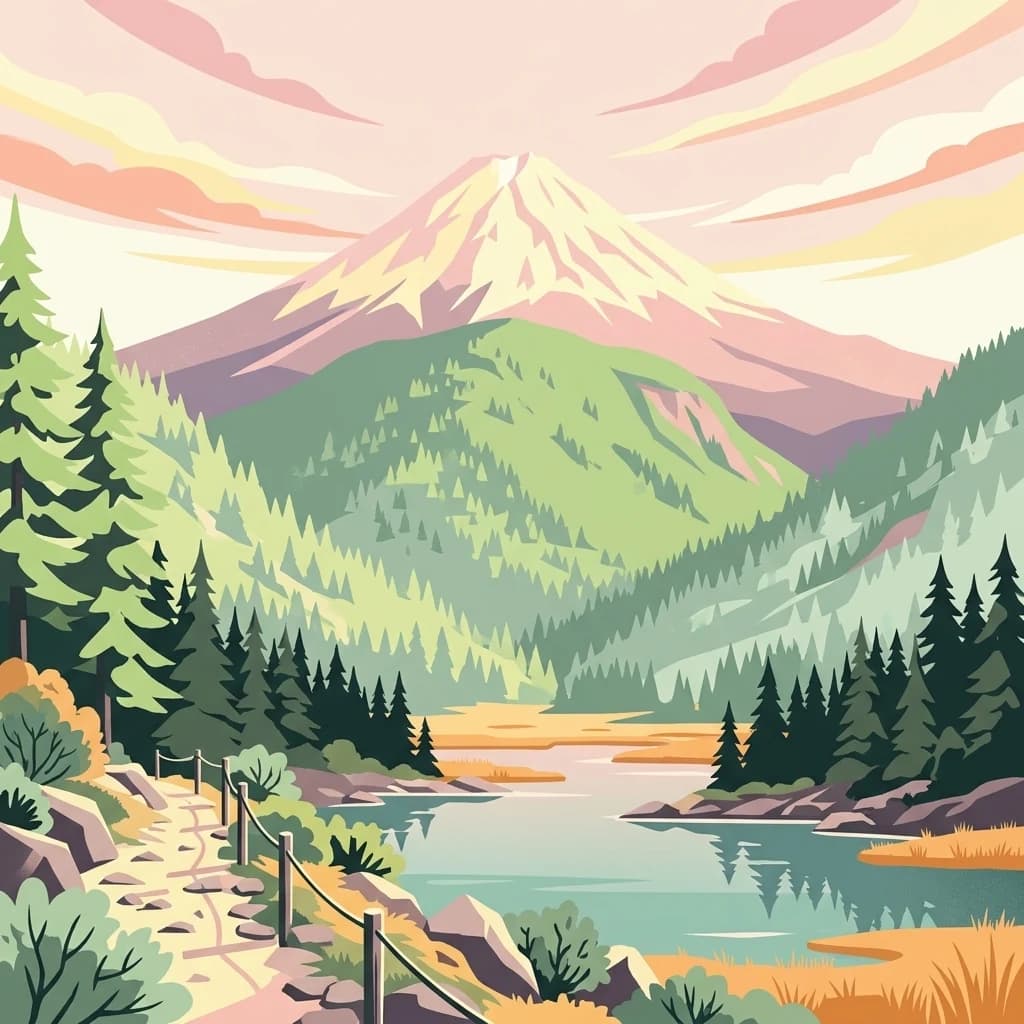
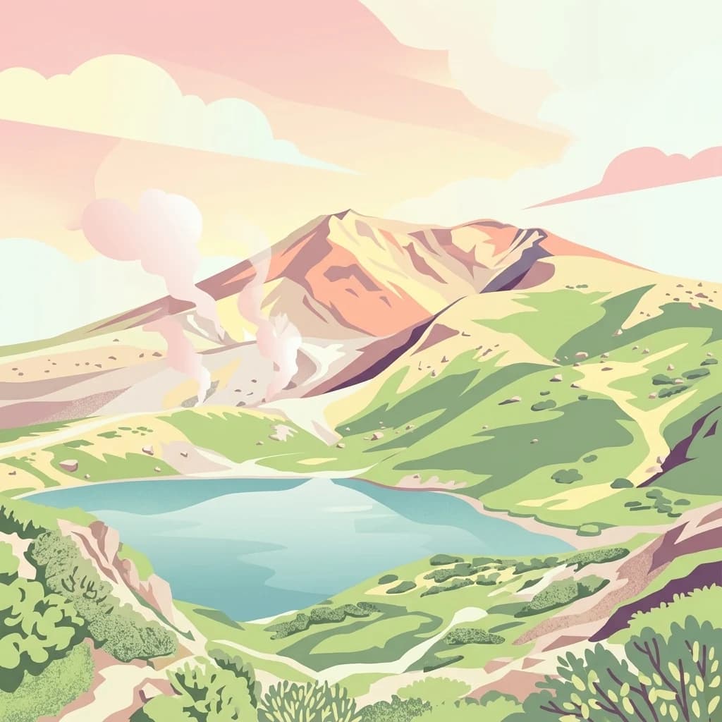
Akan Mashu National Park, in Hokkaido, Japan. Landscapes: mountains, forests, and lakes.
- Area
- 914.13 km²
- Established
- 1934
- IUCN
- V
- Relief
- Mountain

Geographic distribution of surrounding mountain terrain and protected wilderness areas
Compare protected areas near Daisetsuzan National Park, ordered by geographic distance. They include Akan-Mashu and Hidaka-Erimo-Tokachi.

Japan's great snowy mountains, a volcanic alpine wilderness in the heart of Hokkaido
Daisetsuzan National Park is Japan's largest national park, covering 2,267 square kilometers of mountainous terrain in the central region of Hokkaido, the northernmost major island of Japan. Established in December 1934, the park derives its name from the Japanese phrase meaning 'great snowy mountains,' a fitting descriptor for a landscape dominated by sixteen peaks exceeding 2,000 meters in elevation. The park encompasses three distinct volcanic mountain groups, including the Daisetsuzan Volcanic Group in the north, which contains Mount Asahi at 2,290 meters the tallest peak in all of Hokkaido. The volcanic landscape features stratovolcanoes stacked upon one another, creating a rugged backcountry environment that offers some of Japan's most challenging and rewarding alpine terrain. Visitors are drawn to the park's dramatic alpine meadows, remote wilderness character, and the opportunity to experience one of Japan's most pristine protected mountain environments.
See the ranked park cluster in its geographic setting
Distance-ranked regional park geography and surrounding protected landscapes

East
Mapped protected area boundaries and regional landscape context.
Akan Mashu National Park, in Hokkaido, Japan. Landscapes: mountains, forests, and lakes.

South
Volcanic peaks, coastal cliffs, and Hokkaido's expansive geography.
Hidakasanmyaku-Erimo-Tokachi National Park represents Japan's largest national park, offering a comprehensive exploration of its protected landscape. This vast area in Hokkaido combines the rugged topography of the Hidaka volcanic mountain range with the striking maritime environment of Cape Erimo. Users can explore detailed geographic contexts, understand the park's extensive boundaries, and appreciate its role as a crucial protected natural area at the intersection of alpine and coastal ecosystems.

Southeast
Explore the mapped terrain of eastern Hokkaido's vital peatlands.
Kushiro-Shitsugen National Park, in Hokkaido, Japan. Landscapes: wetlands, rivers, and lakes.

East
Explore mapped boundaries and regional park context.
Shiretoko National Park, designated as a national park in Hokkaido, Japan, serves as a vital point for understanding regional geography and protected landscape exploration. This entry offers a structured view of the park's geographic scope, focusing on its mapped boundaries and natural terrain. Discover how Shiretoko National Park contributes to the broader atlas of conservation lands in the Hokkaido region, providing context for its unique ecological and geographic significance.

Southwest
Explore mapped terrain, geothermal features, and active volcanoes.
Shikotsu-Tōya National Park, located in Hokkaido, Japan, is a prime example of a protected area defined by its intense volcanic geology. The park features prominent caldera lakes, including Lake Shikotsu and Lake Tōya, surrounded by active volcanic cones and dramatic geothermal landscapes. Its distinctive terrain makes it a key destination for understanding regional geography and the mapped protected areas of Japan's northern island, offering a unique glimpse into dynamic geological processes.

Northwest
Explore its mapped geography and unique subarctic alpine flora.
Rishiri-Rebun-Sarobetsu National Park in Hokkaido, Japan, offers a unique exploration of dramatic volcanic islands and vital coastal wetland ecosystems. This protected area showcases striking geological formations, from the conical peaks of Rishiri and Rebun islands to the vast peat bogs of the Sarobetsu Plain. Its subarctic environment supports a rich tapestry of alpine flora, providing a distinct case study in protected landscape geography and mapping for the region.

Southwest
Explore the geography of this northern Honshu national park.
Towada-Hachimantai National Park offers a unique atlas perspective on Japan's dynamic volcanic geology and alpine ecosystems. This national park protects a vast expanse of rugged terrain, featuring the iconic caldera of Lake Towada and the expansive volcanic plateaus of the Hachimantai region. Understanding its mapped boundaries reveals the distribution of its characteristic landscapes, from old-growth beech forests along river valleys to subalpine environments crowning volcanic peaks, providing a deep dive into its protected natural geography.
South
Explore mapped boundaries and natural terrain in Tōhoku.
Sanriku Fukkō National Park serves as a pivotal protected area within the Tōhoku region, offering rich geographic detail for atlas exploration. This national park's identity is intrinsically linked to its mapped landscape and protected boundaries, providing valuable insights into northeastern Japan's natural terrain. Through its representation, users gain a structured understanding of the park's place within the regional geography, facilitating a deeper dive into protected land contexts.

Northwest
Old-growth forest wilderness in the Sikhote-Alin range
Bikin National Park, in Primorsky Krai, Russia. Landscapes: forests, rivers, and mountains.

Northwest
Explore Protected Landscape Geography in Primorsky Krai
Gain an atlas-level understanding of Udegeyskaya Legenda National Park, a designated national park situated in Russia's Primorsky Krai. This resource provides insights into the park's geographic setting and the extent of its protected landscape. It is designed for users interested in the mapped features and regional context of protected natural areas, offering a clear view of the park's role within its geographic domain.

Southwest
Explore protected landscapes and mapped terrain in Japan's Tōhoku region.
Bandai-Asahi National Park, in Japan. Landscapes: mountains, valleys, and plateaus.

West
A rugged mountain landscape and critical conservation area in Primorsky Krai.
Zov Tigra National Park features a dramatic, forest-covered terrain within the southern Sikhote-Alin mountains. With peaks rising to 1,854 meters and deep river canyons, this protected area serves as a cornerstone for wildlife recovery and ecological monitoring in the region. Explore the topographical characteristics of this unique mountain habitat and its position in the broader Primorsky Krai geography.

Southwest
Explore mapped boundaries and natural terrain within Tochigi Prefecture.
Understand Nikkō National Park as a key protected area within the geography of Tochigi Prefecture. This dedicated page provides an atlas-style overview of its natural landscape, mapped contours, and significance. Users can gain insights into the park's protected status and its placement within Japan's diverse natural regions, fostering a deeper appreciation for its geographic context.

Southwest
Explore its mapped geography and protected area context.
Oze National Park is a designated national park in Japan's Kantō region, offering a prime example of a protected landscape. This page provides detailed insights into its geographic setting and mapped boundaries, contributing to a structured understanding of regional natural terrain. Users can delve into the park's specific identity as a conservation area and its significance within the broader atlas of Japanese geography and protected lands.

Northwest
Ecological corridors from the Amur River to the Sikhote-Alin mountains.
Anyuysky National Park represents a critical, remote expanse in the Russian Far East. Its boundaries protect a continuous gradient of habitats, linking the flat wetlands of the Amur River floodplain with the forested slopes of the Sikhote-Alin highlands. The park serves as a key area for habitat preservation and environmental mapping.

Southwest
Explore the park's regional terrain and protected area context.
Delve into the geographic specificities of Myōkō-Togakushi Renzan National Park, a key protected landscape in Japan. This entry focuses on its mapped terrain, regional setting, and the atlas-value of understanding its protected boundaries. Gain clarity on the park's distinct natural geography and its contribution to the broader protected area network.

Southwest
Explore the mapped boundaries and geographic identity of this national park.
Jōshin'etsu-kōgen National Park represents a vital protected area within Japan, offering rich opportunities for geographic discovery through its mapped landscape. This entry provides detailed context on its protected boundaries and its relation to the surrounding regional geography, perfect for atlas-based exploration of natural terrains and conservation landscapes. Understand the unique geographic setting of this important national park.
Geographic measurements, not driving distances
Calculated between the nearest points of both park boundaries.
Estimated from one mapped park location to the nearest boundary of the other park.
Estimated between the mapped locations of both parks.
Explore the map, landscapes, and protection details for Daisetsuzan National Park.