
Mori Atlas logo
Nearby park discovery

Map protected geography around the forested volcanic highlands of West Java

Trace nearby protected landscapes from Gunung Halimun National Park across West Java's mountains

Gunung Halimun National Park covers a rugged West Java volcanic range where steep slopes and gentler ridges rise beneath dense tropical montane forest and frequent high-elevation mist. The nearby map opens this Indonesian mountain setting to surrounding protected records while keeping every park's designation, volcanic form, and forest evidence independent.

A digital illustration showing a lush, tropical forest in the foreground with layers of rolling hills and tall volcanic mountains in the background under a soft sunrise.

Mountain wilderness in West Java, Indonesia

Gunung Halimun National Park

Gunung Halimun National Park is a protected natural area located in the mountainous region of West Java, Indonesia. The park encompasses portions of the Mount Halimun-Salak mountain range, one of the most ecologically significant areas on the island of Java. Established to protect the region's rich biodiversity and pristine forest ecosystems, the park serves as a critical conservation area within Indonesia's extensive network of national parks. The area features rugged terrain, dense tropical vegetation, and supports populations of endangered wildlife species native to the Javanese highlands.

Location
Indonesia
Park type
National park
Gunung Halimun National Park Protected Area
Regional park map

See the ranked park cluster in its geographic setting

Nearby parks around Gunung Halimun National Park

This regional map shows the same 20 nearby parks ranked below around Gunung Halimun National Park. Select a ranked marker to highlight that park’s boundary where boundary data is available.
Reference park: Gunung Halimun National ParkRanked nearby park20 nearby parks shown
20 nearby parks

Distance-ranked collection and regional park geography for comparative environmental analysis

Parks and Protected Areas Geographically Near Gunung Halimun National Park

Geographic separation values and directional coordinates establish a ranked index of surrounding protected areas near Gunung Halimun National Park. National boundary contexts and recorded environmental traits provide structured comparison signals for adjacent conservation landscapes.
A stylized flat illustration showing a lush, green tropical forest in the foreground with a large, forested volcanic mountain peak in the background.
National parkIndonesia
About 50 km away#1 closest

East

Gunung Gede Pangrango National Park: Indonesia's National Park with Distinct Protected Geography

Explore mapped boundaries and natural landscape context.

Gunung Gede Pangrango National Park represents a key protected area within Indonesia's diverse geography. This national park provides a focal point for understanding mapped boundaries and the specific natural landscape character it preserves. Its designation as a national park highlights its importance for regional protected land discovery and the detailed study of Indonesia's archipelagic features.

Area
242.71 km²
Established
1980
Relief
Mountain
Climate
Tropical
A colorful digital illustration of a sandy beach, turquoise water, and lush tropical vegetation under a soft, sunset-lit sky.
National parkBanten
About 93 km away#2 closest

West

Ujung Kulon National Park: Atlas of Java's Last Lowland Rainforest and Protected Landscapes

Explore the unique geography and critical conservation importance of this vital protected area.

Ujung Kulon National Park, located in Banten, Indonesia, is a crucial protected landscape recognized for its ecological significance. This national park represents the last substantial area of lowland rainforest remaining on Java, making it an indispensable sanctuary. It is globally recognized as the primary and final refuge for the Javan rhinoceros, a critically endangered species. The park's geography encompasses the Ujung Kulon peninsula and mountain ranges, alongside vital marine environments, contributing to its status as a UNESCO World Heritage Site and a cornerstone of regional conservation efforts.

Area
497.59 km²
Established
1992
IUCN
II
Visitors
12K annual
Watercolor illustration of islands with trees and a sunset over the water
National parkIndonesia
About 122 km away#3 closest

North

Kepulauan Seribu National Park

Explore the coral reefs and island geography of this unique national park.

Kepulauan Seribu National Park, in Indonesia. Landscapes: coasts, islands, and reefs.

Area
1,074.89 km²
Established
1982
IUCN
II
Visitors
777K annual
National parkLampung
About 184 km away#4 closest

North

Way Kambas National Park: Mapped Lowland Rainforest and Wetland Ecosystems

Explore the geography and protected landscape of this Indonesian national park.

Way Kambas National Park in Lampung, Indonesia, is a significant protected area characterized by its extensive lowland rainforest and varied wetland habitats. The park's landscape features swamp forests, coastal fringes, and river systems, creating a unique ecological mosaic. It serves as a critical sanctuary for endangered species, offering a vital context for understanding Sumatra's remaining natural landscapes. Explore the mapped boundaries and geographic identity of this important conservation area.

Area
1,300 km²
Established
1989
IUCN
II
Visitors
2.6K annual
Digital vector illustration of a conical mountain at sunrise with a sunburst, a calm lake with a silhouette of a person on a paddleboard, and lush foreground vegetation.
National parkIndonesia
About 214 km away#5 closest

East

Mount Ciremai National Park: A Protected Landscape Within Indonesia's Geography

Explore mapped boundaries and regional park context.

This national park in Indonesia provides a unique opportunity to study protected landscape geography. Access detailed information on Mount Ciremai National Park's mapped boundaries and its regional context, contributing to a richer understanding of Indonesia's diverse natural terrain and protected areas. It serves as a crucial point for atlas-based geographic discovery within the archipelago.

Area
155 km²
Established
2004
Visitors
15.1K annual
Relief
Mountain
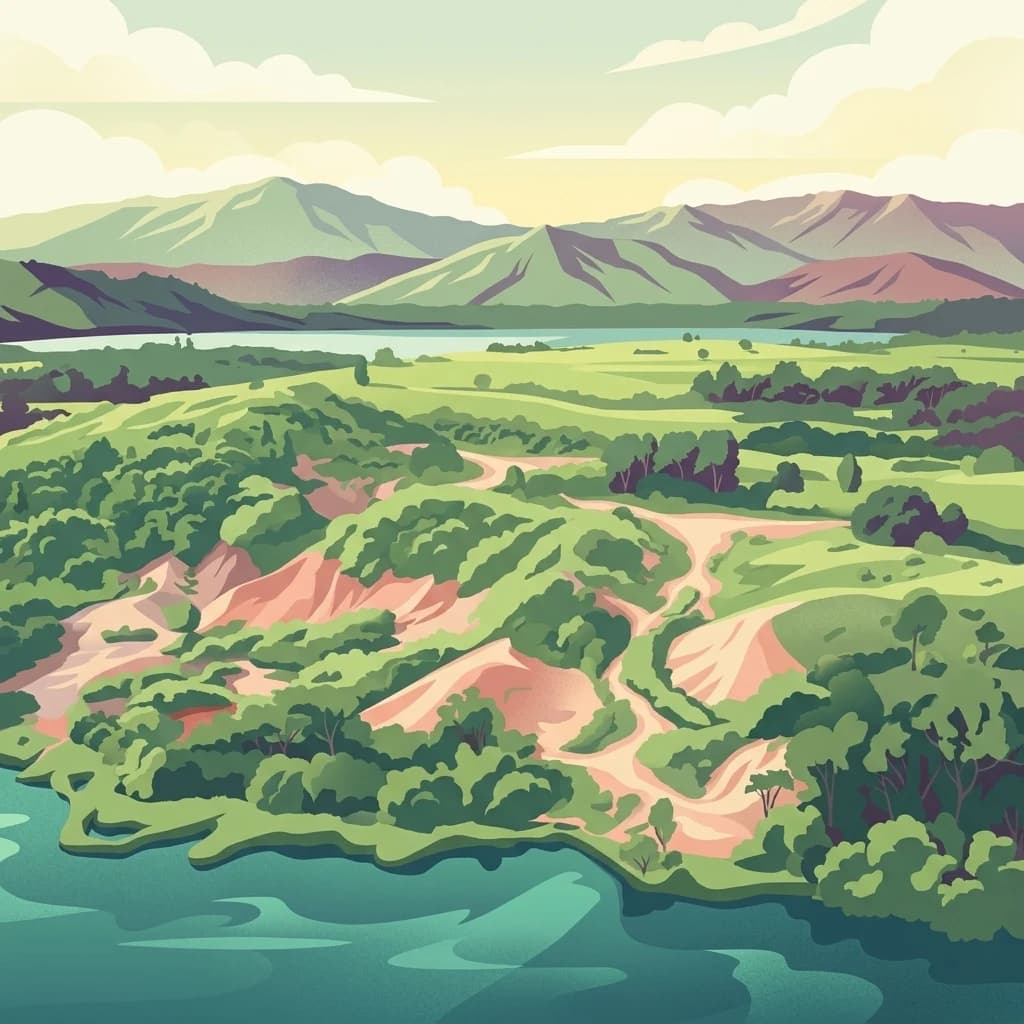
A digital illustration showing a lush green landscape with hilly terrain, forest, sandy trails, and a large body of water in the foreground, with distant mountains under a soft sky.
National parkSumatra
About 216 km away#6 closest

Northwest

Bukit Barisan Selatan National Park

Explore mapped boundaries and regional geography within this protected area.

Bukit Barisan Selatan National Park, in Sumatra, Indonesia. Landscapes: mountains, forests, and rivers.

Area
3,568 km²
Established
1982
IUCN
II
Relief
Mountain
National parkAustralia
About 409 km away#7 closest

South

Christmas Island National Park: Explore Its Protected Landscape and Geographic Setting

Mapping Australia's unique national park boundaries and terrain.

Christmas Island National Park offers a focused lens into Australia's protected areas. This page provides an atlas-style exploration of its specific geographic features and mapped boundaries. Understand its role as a distinct natural landscape within the broader regional geography, making it a crucial point of study for anyone interested in the mapped context of conservation lands in Oceania.

Area
85 km²
Established
1980
IUCN
II
Relief
Upland
A stylized illustration of a large green mountain under a soft sun, viewed through a forest of trees and ferns.
National parkIndonesia
About 443 km away#8 closest

East

Gunung Merbabu National Park: A Key Protected Landscape in Indonesia's Geography

Explore its mapped protected area boundaries and regional setting.

Gunung Merbabu National Park represents a distinct protected area entity within Indonesia's expansive geography. This page provides detailed information on the park's status as a national park, emphasizing its mapped territory and contribution to the understanding of protected landscapes. Discover its geographic context and how it fits into the broader atlas of Indonesian natural areas, offering a focused view for those interested in regional park geography and landscape exploration.

Area
57 km²
Established
2004
Relief
Mountain
Climate
Tropical
A stylized, flat-design illustration showing a tall, rugged volcano in the background with a foreground of dense, varied green trees and plants under a warm-toned sky.
National parkIndonesia
About 445 km away#9 closest

East

Gunung Merapi National Park

Explore mapped boundaries and regional natural terrain within Indonesia.

Gunung Merapi National Park, in Indonesia. Landscapes: mountains, volcanoes, and forests.

Area
64.1 km²
Established
2004
Relief
Mountain
Climate
Tropical
An illustration of a tropical beach coastline with soft pastel colors, featuring palm trees leaning over white sand, gentle turquoise waves, and a hazy horizon.
National parkCentral Java
About 447 km away#10 closest

East

Karimunjawa National Park: A National Park in Central Java's Geographic Atlas

Mapped protected boundaries and landscape context.

Gain a structured atlas-based understanding of Karimunjawa National Park, a designated national park located in Central Java, Indonesia. This detailed view focuses on the park's geographic footprint and its significance as a protected landscape. Explore its mapped territory and regional context, contributing to a comprehensive overview of natural areas within the Central Java region.

Area
1,101.17 km²
Established
1999
IUCN
II
Relief
Upland
A colorful digital illustration of a smoking volcano rising above terraced green fields and forested hills, with red flowering plants in the immediate foreground.
National parkWest Sumatra
About 559 km away#11 closest

Northwest

Kerinci Seblat National Park

Explore its mapped geography and regional atlas context.

Kerinci Seblat National Park, in West Sumatra, Indonesia. Landscapes: mountains, rivers, and waterfalls.

Area
13,750 km²
Established
1999
IUCN
II
Relief
Mountain
National parkSumatra
About 577 km away#12 closest

North

Sembilang National Park: A Mapped Protected Landscape within Sumatra's Geography

Understanding its park boundaries and regional natural context.

Delve into the atlas-level details of Sembilang National Park, a protected national park situated on the island of Sumatra. This exploration focuses on its geographic footprint, mapped boundaries, and its significance as a component of Indonesia's broader protected natural landscapes. Discover how this park contributes to the regional geography and offers a distinct protected-area identity within the Indonesian archipelago.

Area
2,051 km²
Established
2001
IUCN
II
Relief
Lowland
National parkJambi
About 645 km away#13 closest

North

Berbak National Park National Park: Discover Protected Landscape Geography in Jambi

Explore mapped boundaries and regional context for this Sumatran protected area.

Berbak National Park is an officially designated national park within Indonesia's Jambi province. This page provides detailed geographic context, focusing on the park's mapped boundaries and its role as a protected landscape. Users can explore its placement within the broader regional geography of Sumatra, understanding how it contributes to the conservation landscape of the Jambi area for atlas-based discovery.

Area
1,627 km²
Established
1992
IUCN
II
Relief
Lowland
A vibrant digital illustration of a lush tropical rainforest featuring a large central tree with broad roots, surrounded by ferns and dense foliage, with a small waterfall visible in the background under a soft sunrise sky.
National parkJambi
About 679 km away#14 closest

Northwest

Bukit Duabelas National Park: Jambi's Protected Lowland Tropical Rainforest Landscape

Explore its mapped terrain and vital water catchment geography.

Bukit Duabelas National Park is a protected area in Jambi, Sumatra, safeguarding critical lowland tropical rainforest ecosystems. Its name reflects the hilly terrain that defines its landscape, acting as an essential water catchment for the Batang Hari River. This park offers an atlas-focused view of Sumatra's threatened forest heritage and its importance within regional geography, including unique timber species and the ancestral lands of the Orang Rimba people.

Area
605 km²
Established
2000
IUCN
II
Relief
Lowland
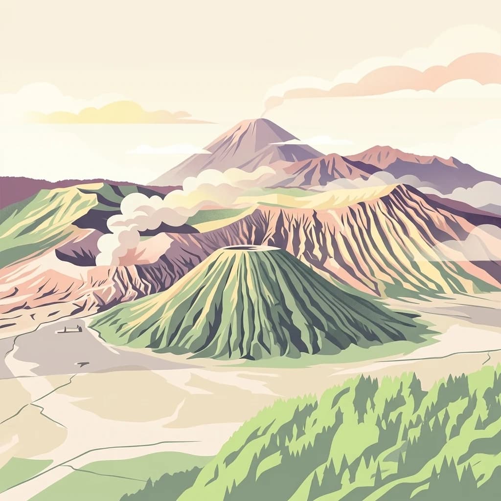
A stylized digital illustration of a volcanic landscape featuring a prominent central cone, a large crater rim, and mountain peaks under a soft sky.
National parkEast Java
About 708 km away#15 closest

East

Bromo Tengger Semeru National Park

Mapped terrain and protected area boundaries in Indonesia's East Java

Bromo Tengger Semeru National Park, in East Java, Indonesia. Landscapes: mountains, volcanoes, and valleys.

Area
502.76 km²
Established
1982
IUCN
II
Visitors
61.7K annual
A digital illustration showing a calm, dark river flowing through a lush green tropical forest in Borneo.
National parkKalimantan
About 735 km away#16 closest

Northeast

Tanjung Puting National Park: A Detailed Protected Landscape Atlas View

Mapped boundaries and regional geography for this Indonesian national park.

Delve into the protected landscape identity of Tanjung Puting National Park, a designated national park situated in Kalimantan. This resource provides a detailed atlas perspective, focusing on its geographic scope, mapped park boundaries, and contribution to the regional geography of Indonesia. Understand its significance as a protected natural area through structured discovery.

Digital illustration of a dense forest with a valley, flowing river, and waterfall in the distance, rendered in a flat, pastel-colored artistic style.
National parkIndonesia
About 743 km away#17 closest

Northeast

Mount Palung National Park: Indonesia's Protected Volcanic Mountain and Tropical Forest Landscape

Explore the mapped boundaries and regional geography of this Indonesian national park.

Mount Palung National Park is a designated national park in West Kalimantan, Indonesia, recognized for its prominent volcanic mountain and the surrounding tropical forest ecosystems. This protected area showcases Borneo's diverse biodiversity across its lowland and montane forest zones, making it a key component of the Indonesian protected landscape. Its atlas presence highlights the conservation value of its mapped natural terrain and its regional significance.

IUCN
II
Scope
Terrestrial
A stylized digital illustration of a waterfall cascading over rocky cliffs into a calm pool surrounded by tropical forest vegetation.
National parkIndonesia
About 779 km away#18 closest

Northwest

Bukit Tigapuluh National Park: Protected Area Identity and Indonesian Geographic Context

Explore mapped boundaries and regional landscape features.

Bukit Tigapuluh National Park stands as a protected natural area within Indonesia. This entry provides detailed geographic information, focusing on its mapped extent and its contribution to the nation's conservation atlas. Understanding its place within Indonesia's broader geography highlights the significance of its protected landscape and its role in regional natural resource mapping.

Area
1,432.23 km²
Established
1995
IUCN
II
Relief
Lowland
A digital illustration of a lush coastal cliff at sunset, with dense green vegetation, a lone bare tree, and rocky outcrops in the calm ocean water under a pink and orange sky.
National parkEast Java
About 828 km away#19 closest

East

Meru Betiri National Park: Mapped Protected Landscape in East Java

Discover the terrain and geography of this national park.

Meru Betiri National Park in East Java, Indonesia, offers a rich tapestry of mapped landscapes, from its distinctive sandy beaches and mangrove ecosystems along the southern coast to its interior volcanic highlands and tropical rainforests. This protected area is crucial for understanding the regional geography and the distribution of conservation lands across Java. Explore its topographic diversity and unique ecological settings that define this significant national park.

Area
580 km²
Established
1982
IUCN
II
Visitors
2.5K annual
A stylized flat-design illustration showing a volcanic mountain rising above a coastal savanna, with rugged cliffs meeting the blue ocean in the foreground.
National parkSitubondo Regency
About 878 km away#20 closest

East

Baluran National Park

Mapped boundaries and natural terrain in Situbondo Regency.

Baluran National Park, in Situbondo Regency, Indonesia. Landscapes: mountains, hills, and valleys.

Area
250 km²
Established
1980
IUCN
II
Visitors
10.2K annual
Distance methodology

Geographic measurements, not driving distances

How nearby park distances are calculated

Distances use park boundaries whenever the available geometry allows it. When one or both boundaries are missing, the mapped park locations provide a clearly labelled estimate. Every value represents straight-line geographic separation and does not use roads or routing.

Boundary distance

Calculated between the nearest points of both park boundaries.

Location-to-boundary estimate

Estimated from one mapped park location to the nearest boundary of the other park.

Mapped-location estimate

Estimated between the mapped locations of both parks.

MoriAtlas Explorer

Continue Exploring Gunung Halimun National Park's Geographic and Landscape Context

Delve deeper into the specific atlas exploration value of Gunung Halimun National Park. Understand its protected-area characteristics, mapped natural terrain, and its significance within Indonesia's broader geography. This resource provides the structured geographic details essential for comprehending the park's landscape and its role as a national park.