Mori Atlas logo
Nearby park discovery

Geographic landscape context and regional protected area distribution mapping

Protected Areas and National Parks Near National Park of the Gulf of Orosei and Gennargentu

Identify protected landscapes and natural terrain surrounding the National Park of the Gulf of Orosei and Gennargentu. This resource provides a spatial map perspective for analyzing regional park geography and understanding the distribution of protected land throughout the surrounding Italian geography.

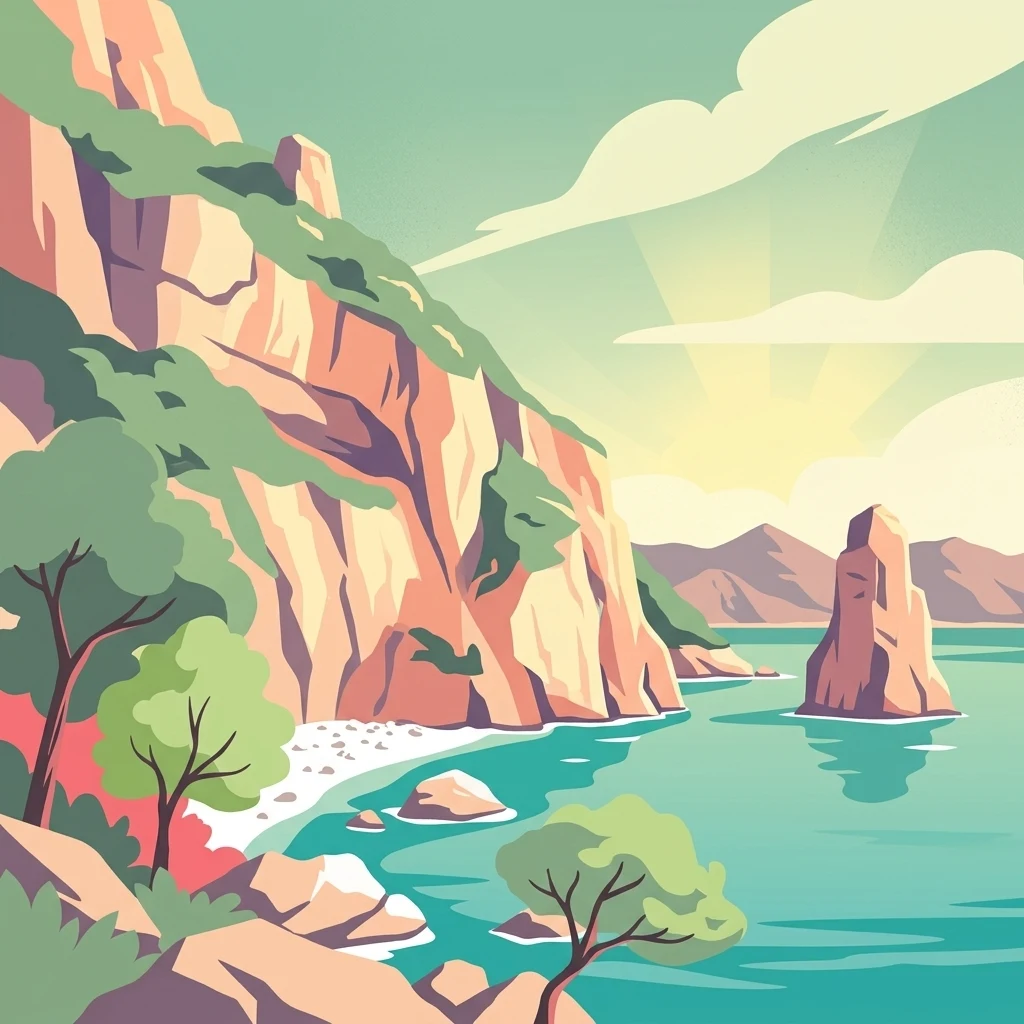
Stylized illustration of rocky coastal cliffs, turquoise sea, scattered trees, and a sea stack

Sardinia's coastal and mountain wilderness protecting the Gulf of Orosei and Gennargentu massif

National Park of the Gulf of Orosei and Gennargentu

The National Park of the Gulf of Orosei and Gennargentu is a protected area in Sardinia, Italy, encompassing both the dramatic coastal landscapes of the Gulf of Orosei and the rugged mountain terrain of the Gennargentu massif in the island's eastern interior. Established to preserve one of the Mediterranean's most distinctive landscapes, the park protects a transition zone where steep limestone cliffs and secluded beaches meet forested mountain ridges and karst plateaus. The protected area represents a cornerstone of Sardinian environmental conservation, safeguarding both marine and terrestrial ecosystems within a landscape of exceptional natural beauty and ecological significance.

Regional park map

See the ranked park cluster in its geographic setting

Nearby parks around National Park of the Gulf of Orosei and Gennargentu

This regional map shows the same 20 nearby parks ranked below around National Park of the Gulf of Orosei and Gennargentu. Select a ranked marker to highlight that park’s boundary where boundary data is available.
Reference park: National Park of the Gulf of Orosei and GennargentuRanked nearby park20 nearby parks shown
20 nearby parks

Geographic separation, directional context, and environmental comparison signals for surrounding conservation landscapes

Ranked Nearby Protected Areas and Regional Geography for National Park of the Gulf of Orosei and Gennargentu

Comparative analysis of nearby protected areas surrounding National Park of the Gulf of Orosei and Gennargentu reveals structured geographic separation and directional alignment across the region. Evaluating surrounding park environments through recorded characteristics supports broader landscape context without assuming shared ecological traits.
Protected areaSardegna
About 74 km away#1 closest

Southwest

Stagno di San Giovanni: Protected Coastal Wetland Geography and Regional Landscape Atlas

Brackish lagoon habitats in the province of Oristano, Sardegna

Explore the natural terrain of Stagno di San Giovanni, a brackish coastal lagoon in southwestern Sardegna. Defined by shallow waters and river-fed marshlands, this protected area is central to an interconnected network of Mediterranean lagoons, offering significant insight into the coastal geography and environmental history of the Oristano region.

Area
7 km²
Relief
Lowland
Scope
Terrestrial
Water
Water-dominated
Protected areaSardinia
About 76 km away#2 closest

Southwest

Laguna di Marceddì Protected Area: Sardinia Coastal Geography and Wetland Mapping

A Ramsar-listed brackish wetland on the Sardinian coast

Laguna di Marceddì serves as a critical protected area along the western Mediterranean coast of Sardinia. The landscape features a complex mosaic of tidal channels, shallow pools, and brackish basins. Fed by inland streams, this wetland supports diverse waterbird populations and long-standing professional fisheries while remaining a distinct, low-lying geographic feature within the surrounding agricultural plains of the Oristano province.

Area
9 km²
Relief
Lowland
Scope
Mixed
Water
Water-dominated
Marine protected areaFrance
About 113 km away#3 closest

North

Sanctuaire Pelagos Marine Protected Area: Mediterranean Geography and Seascape

A transboundary conservation zone spanning 87,500 square kilometers.

Sanctuaire Pelagos represents a unique collaborative effort in marine conservation across the Mediterranean. Spanning the waters between France, Italy, and Monaco, this protected maritime area is defined by its deep-sea canyons and nutrient-rich currents that sustain diverse cetacean populations. Its immense scale and international governance make it a focal point for understanding Mediterranean marine biodiversity and environmental policy.

Area
87,500 km²
Established
1999
IUCN
IV
Relief
Lowland
National parkItaly
About 120 km away#4 closest

North

Arcipelago di La Maddalena National Park: An Italian National Park Defined by Archipelago Geography

Discover mapped protected boundaries and regional landscape context.

Arcipelago di La Maddalena National Park stands as a vital protected area within Italy, characterized by its distinctive archipelago geography. This national park offers a unique lens through which to explore mapped natural landscapes, understand protected land distribution, and contextualize its regional geographic significance. Dive into the detailed mapping of its protected territories to appreciate the full scope of this significant natural asset for structured atlas discovery.

Area
201.46 km²
Established
1994
IUCN
II
Relief
Lowland
Watercolor illustration of a coastal landscape with green hills, shoreline, and blue sea under a pale yellow sky
National parkSardinia
About 143 km away#5 closest

Northwest

Asinara National Park: National Park Protected Landscape and Geographic Setting

Explore mapped terrain and protected area context within Sardinia.

Asinara National Park stands as a key protected landscape within the Italian national park system, located off the coast of Sardinia. This entry provides detailed geographic context, focusing on its mapped boundaries and the unique natural terrain that defines this island sanctuary. MoriAtlas facilitates a structured discovery of Asinara National Park, enabling users to understand its protected area status and its significant position within the broader regional geography of Sardinia for atlas exploration.

Area
51.7 km²
Established
1997
IUCN
II
Relief
Mixed relief
National parkTuscany
About 265 km away#6 closest

North

Arcipelago Toscano National Park: Protected Islands and Mediterranean Landscape Atlas

Explore Tuscany's unique archipelago geography and protected natural terrain.

Arcipelago Toscano National Park offers a unique perspective on Mediterranean island ecosystems through its comprehensive atlas and mapped landscape context. Covering seven main islands and surrounding marine areas off the coast of Tuscany, this park protects dramatic granite cliffs, endemic flora, and vital habitats for marine and avian life. Understand its geographic scope, protected boundaries, and the distinctive natural terrain that defines this significant Italian conservation landscape.

Area
746.63 km²
Established
1996
IUCN
II
Relief
Mixed relief
Biosphere reserveCorse
About 281 km away#7 closest

North

Vallée du Fango Biosphere Reserve: Geography and Protected Landscape Analysis

Mapping the natural features of the Corse watershed.

Vallée du Fango encompasses a significant protected watershed in western Corse. This reserve features a complete altitudinal gradient, ranging from Laricio pine-forested summits to a thriving coastal estuary. The site is characterized by exceptionally clear water, centuries-old holm oak woodland, and complex riparian systems that define the natural geography of this Mediterranean drainage basin.

Area
251.1 km²
Established
1977
Relief
Mountain
Climate
Mediterranean
National parkTunisia
About 311 km away#8 closest

South

Ichkeul National Park: Tunisia's Key Protected Landscape for Geographic Discovery

Explore the mapped geography and regional context of this Tunisian national park.

Ichkeul National Park is a crucial protected area located in Tunisia, offering a distinct focal point for geographic exploration and atlas-based understanding. This park's mapped boundaries and protected status are central to appreciating its role within Tunisia's natural landscapes and the wider North African region. Through structured data and detailed geographic context, users can gain insight into Ichkeul National Park's unique environmental identity and its significance as a protected natural resource.

National parkBizerte Governorate
About 322 km away#9 closest

South

Jebel Chitana-Cap Négro National Park: National Park Protected Area & Landscape Identity

Explore the mapped geography of Jebel Chitana-Cap Négro National Park.

As a designated national park, Jebel Chitana-Cap Négro National Park represents a key protected area for understanding the regional geography of Bizerte Governorate. This entry provides structured information focused on the park's geographic scope, its mapped boundaries, and its significance as a protected landscape. It is designed for users seeking detailed, atlas-style context on Jebel Chitana-Cap Négro National Park's natural setting and its place within Tunisia's protected lands network.

Area
101.2 km²
Established
2010
Relief
Mountain
Scope
Terrestrial
Watercolor illustration showing a coastal landscape with green hills, trees, and water body
National parkItaly
About 335 km away#10 closest

Northeast

Circeo National Park: Protected Landscape of Italy's Lazio Coast

Explore mapped terrain and Mediterranean ecosystem boundaries.

Circeo National Park offers a distinct protected landscape anchored by the striking Monte Circeo limestone promontory and its associated coastal dunes and island environments. As one of Italy's earliest national parks, it preserves a vital mosaic of Mediterranean ecosystems, providing a unique subject for geographic study and atlas-based navigation of protected areas. Users can explore its mapped context and the interplay between karst geology, coastal terrain, and diverse natural habitats.

IUCN
II
National parkTunisia
About 342 km away#11 closest

Southeast

Zembra National Park: A Protected Island Landscape in Tunisia's Mediterranean Waters

Explore its unique geography and mapped protected area boundaries.

Zembra National Park safeguards a rugged, mountainous island environment characterized by dramatic limestone cliffs plunging into the Mediterranean Sea. This national park is renowned for its exceptional avian populations, including the endangered Eleonora's falcon, and its preserved Mediterranean maquis ecosystem, supporting endemic plant species. The park's geographic isolation contributes to its status as a significant biodiversity hotspot, offering a distinct lens for understanding island ecosystems and conservation efforts within the broader Tunisian geography.

IUCN
II
National parkEl Tarf Province
About 344 km away#12 closest

South

El Kala National Park: Protected Wetlands and Barbary Stag Habitat

Explore its mapped geography and vital ecosystem context.

El Kala National Park represents a crucial protected landscape within El Tarf Province, Algeria, recognized internationally for its extensive Mediterranean wetlands and rich biodiversity. This national park is a vital ecological zone, comprising six major lakes and a significant stretch of coastline, offering a unique mosaic of aquatic and terrestrial environments. Its role as a sanctuary for the Barbary stag and migratory birds highlights its importance in regional conservation efforts. Exploring El Kala National Park provides insight into the mapped terrain, protected boundaries, and distinct geographic features that define this significant North African natural area.

Area
764 km²
Established
1993
IUCN
II
Visitors
30K annual
National parkTunisia
About 347 km away#13 closest

South

Oued Zeen National Park: Tunisia's National Park Entry for Geographic and Landscape Atlas Exploration

Explore the mapped protected area and regional geography of Oued Zeen National Park.

Oued Zeen National Park is a designated national park in Tunisia, offering a crucial point for geographic exploration within the country's atlas. This page details its protected landscape identity, contributing to a structured understanding of regional natural areas and park boundaries. Users can examine its geographic setting and landscape context to deepen their appreciation of Tunisia's protected lands.

Area
67 km²
Established
2010
Scope
Terrestrial
Water
Major water bodies
National parkJendouba Governorate
About 362 km away#14 closest

South

El Feidja National Park: National Park Mapping and Protected Landscape Discovery

Explore geographic context within Jendouba Governorate.

Gain a clear understanding of El Feidja National Park's protected status and its geographic footprint. This page offers detailed insights into the park's mapped boundaries and landscape characteristics, situated within the Jendouba Governorate. It serves as a primary resource for atlas exploration, highlighting the natural terrain and regional significance of this Tunisian national park.

Area
27.65 km²
Established
1990
IUCN
II
Relief
Mountain
National parkTunisia
About 378 km away#15 closest

South

Boukornine National Park: A Protected Mediterranean Mountain Landscape in Tunisia

Explore its mapped terrain and unique protected ecosystem.

Boukornine National Park in Tunisia represents a significant protected landscape, notable for its central granite peak, Jebel Boukornine, which rises sharply above the surrounding coastal plains. This national park, covering approximately 1,939 hectares, preserves a distinctive Mediterranean mountain ecosystem. Its rugged terrain, rocky slopes, and the presence of Aïn Zargua spring support a unique concentration of species, including notable flora and fauna. Understanding Boukornine National Park provides insight into the regional geography and the importance of conserving these mountainous protected areas within Tunisia.

Area
19.39 km²
Established
1987
IUCN
II
Relief
Mountain
Nature reserveUmbria
About 382 km away#16 closest

Northeast

Oasi naturalistica Lago di Alviano: Protected Wetland Landscapes and River Geography

A vital nature reserve in the Tiber Valley region of Umbria

Discover the unique wetland geography of Oasi naturalistica Lago di Alviano, where marshy river basins meet extensive hygrophilous forest corridors. This reserve serves as a critical node in central Italy for migratory waterbird habitats, showcasing the natural transition between riparian woodland and shallow aquatic ecosystems within the broader Tiber Valley protected network.

Area
9 km²
Established
1990
Scope
Terrestrial
Water
Major water bodies
Watercolor painting of a landscape with trees, hills, and a body of water
National parkFrance
About 415 km away#17 closest

Northwest

Port-Cros National Park: French Mediterranean Island National Park & Marine Sanctuary

Discover mapped protected land and unique Mediterranean ecosystems.

Port-Cros National Park offers a glimpse into a pioneering model of integrated terrestrial and marine conservation within the Mediterranean. This park protects a distinctive island geography marked by rugged terrain, endemic species, and vital underwater habitats, including crucial posidonia meadows and rich marine life. Through MoriAtlas, explore the mapped boundaries and ecological significance of Port-Cros, understanding its role as a vital protected landscape in the European atlas.

Area
46 km²
Established
1963
IUCN
II
Visitors
1M annual
Watercolor painting of a landscape with rolling hills, pink wildflowers, and scattered trees
National parkItaly
About 419 km away#18 closest

Southeast

Pantelleria National Park: A Protected Landscape within Italy's Atlas

Mapped boundaries and regional geographic context.

Pantelleria National Park is a designated national park in Italy offering a distinct protected landscape for exploration. This page provides essential geographic context, highlighting the park's mapped boundaries and its significance within the regional atlas. Understand the terrain and protected land features that define this important natural area.

Area
66.4 km²
Established
2016
IUCN
II
Relief
Highland
Watercolor painting of mountains, green valleys, and a river
National parkItaly
About 430 km away#19 closest

Northeast

Gran Sasso and Monti della Laga National Park: Italy's National Park Geographic Context

Mapped protected areas and regional natural landscape details.

Delve into the geography of Gran Sasso and Monti della Laga National Park, a prominent national park in Italy. This resource provides essential context for understanding its protected landscape, mapped boundaries, and integration within the regional geography. Ideal for users seeking detailed atlas-style information on protected areas and their natural terrain, it serves as a foundational point for exploring the park's unique geographic character and landscape significance.

IUCN
II
Watercolor painting showing a landscape with rolling green hills, a river, and scattered trees
National parkItaly
About 431 km away#20 closest

Northeast

Abruzzo, Lazio and Molise National Park

Protected landscape in Italy's Apennines.

Explore the mapped boundaries and protected status of Abruzzo, Lazio and Molise National Park. This historic Italian national park offers a detailed look at Apennine mountain geography and landscape.

Established
1923
IUCN
II
Distance methodology

Geographic measurements, not driving distances

How nearby park distances are calculated

Distances use park boundaries whenever the available geometry allows it. When one or both boundaries are missing, the mapped park locations provide a clearly labelled estimate. Every value represents straight-line geographic separation and does not use roads or routing.

Boundary distance

Calculated between the nearest points of both park boundaries.

Location-to-boundary estimate

Estimated from one mapped park location to the nearest boundary of the other park.

Mapped-location estimate

Estimated between the mapped locations of both parks.

MoriAtlas Explorer

Continue Exploring the Geography of National Park of the Gulf of Orosei and Gennargentu

Further your understanding of National Park of the Gulf of Orosei and Gennargentu by exploring its specific mapped boundaries and surrounding regional geography. This destination offers a unique glimpse into Italy's diverse protected landscapes, providing rich data for comparative atlas study and geographic discovery. Navigate from this iconic park to understand its place within the broader context of Sardinian natural heritage.