Mori Atlas logo
Nearby park discovery

Map and compare natural landscapes and protected terrain in the surrounding Central Anatolia region.

Geographic Distribution of Protected Areas Near Yozgat Pine Grove National Park in Turkey

Examine the geographic context of Yozgat Pine Grove National Park by identifying nearby protected areas and natural landscapes across the Central Anatolia province. This regional map view reveals how the forest island of the park relates to the surrounding steppe terrain and broader territorial geography. Visualize the spatial distribution of protected sites to understand the topographic character of this distinct region.

Related tags

National ParkTurkeyCentral AnatoliaOld-Growth ForestPine Forest

Turkey's oldest national park, a forest island in the Central Anatolian steppe

Yozgat Pine Grove National Park

Yozgat Pine Grove National Park is Turkey's first national park, established on February 5, 1958, and remains a significant protected area in Central Anatolia. The park occupies a unique position as a forest island set within the vast steppe landscapes that characterize much of the region. Located just 2 to 5 kilometers south of Yozgat city, the park rises to an average elevation of around 1,350 to 1,360 meters above sea level, creating a distinct ecological pocket of forested terrain amid open grasslands. The protected area was significantly expanded in 2022, growing from its original 267 hectares to encompass approximately 517 hectares of pine forest and surrounding terrain. The park features ancient pine trees, some estimated to be between 350 and 500 years old, representing a species that botanists have identified as having no close relatives anywhere except in the higher elevations of the Caucasus Mountains.

Location
Turkey
Park type
National park
Established
1958
Area
2.6 km²
Yozgat Pine Grove National Park Atlas
Regional park map

See the ranked park cluster in its geographic setting

Nearby parks around Yozgat Pine Grove National Park

This regional map shows the same 20 nearby parks ranked below around Yozgat Pine Grove National Park. Select a ranked marker to highlight that park’s boundary where boundary data is available.
Reference park: Yozgat Pine Grove National ParkRanked nearby park20 nearby parks shown
20 nearby parks

Distance-ranked collection and regional park geography for comparative analysis

Parks and Protected Areas Geographically Near Yozgat Pine Grove National Park

Examine the ranked collection of protected areas situated near Yozgat Pine Grove National Park based on direct geographic measurements and spatial separation. Review recorded environmental characteristics and country context to compare surrounding landscapes across the broader regional park network.
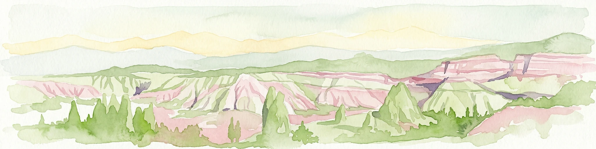
Watercolor illustration showing the landscape of Göreme Historical National Park with characteristic rock formations in pink and green hues
National parkTurkey
About 128 km away#1 closest

South

Göreme Historical National Park: A Mapped Volcanic Landscape and Protected Cultural Heritage in Turkey

Explore the unique geography and rock-cut churches of Cappadocia.

Göreme Historical National Park presents a globally significant protected landscape, celebrated for its dramatic volcanic geology and extensive rock-cut architecture. This national park in Turkey's Cappadocia region features iconic fairy chimneys and ancient cave dwellings, offering a rich context for exploring human adaptation to natural terrain. MoriAtlas facilitates a detailed discovery of its mapped boundaries and regional geography, highlighting the intersection of natural wonder and historical habitation within this unique protected area.

IUCN
II
National parkKastamonu Province
About 165 km away#2 closest

Northwest

Mount Ilgaz National Park: A Protected Landscape at the Crossroads of Anatolian Geography

Explore unique ecosystems and mapped terrain in Kastamonu Province

Mount Ilgaz National Park offers a deep dive into a unique protected landscape where Central Anatolian and Black Sea ecosystems converge. Situated in Kastamonu Province, its rugged mountain terrain and distinct mapped boundaries showcase a rich geographic identity. This park is an essential point for understanding Turkey's biogeographic transition zones, its diverse forest ecosystems, and the regional context of the Ilgaz Mountains. Delve into its protected status and discover the interplay of climate and terrain that defines this significant natural area.

Area
7.424 km²
Established
1976
IUCN
II
Relief
Mountain
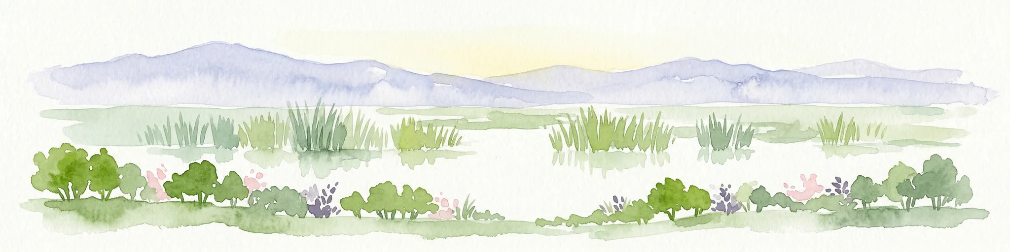
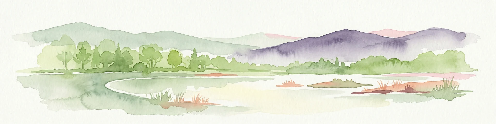
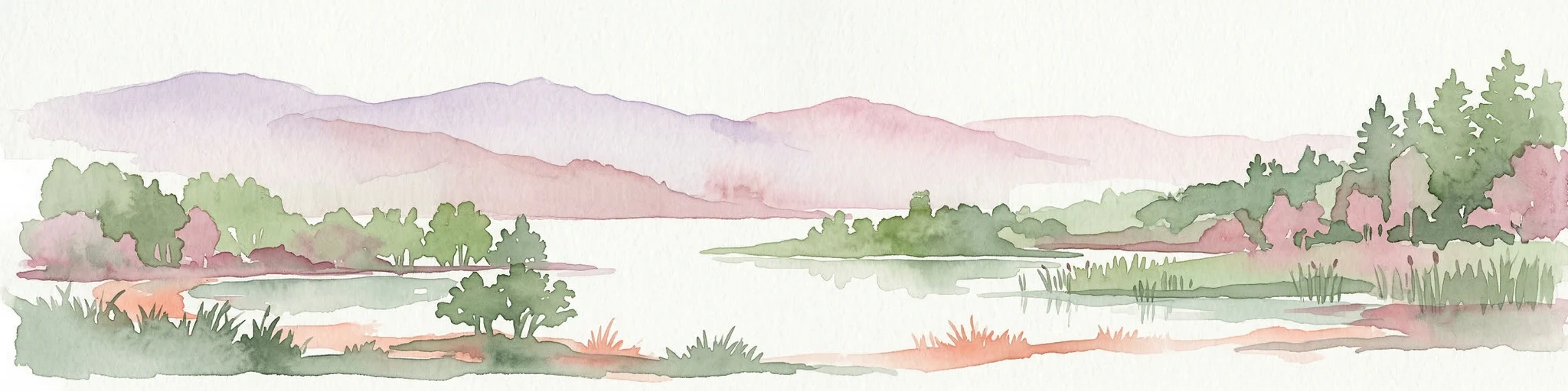
Watercolor illustration of a wetland landscape with distant mountains, grassy vegetation, and calm water.
National parkKayseri Province
About 177 km away#3 closest

South

Sultan Reedy National Park: A Vital Protected Wetland Ecosystem in Kayseri Province, Turkey

Mapped landscape focused on ornithological significance and lake ecosystems.

Sultan Reedy National Park stands as a cornerstone of wetland conservation in Turkey, located within the geographically distinct Kayseri Province. This national park is celebrated for its expansive freshwater lakes and dense reed marshes, forming a critical habitat for a vast diversity of bird species. Its Ramsar designation underscores its international importance as a stopover point for migratory birds traversing major flyways, offering a unique window into a dynamic aquatic ecosystem bordered by dramatic mountain terrain.

Area
243.57 km²
Established
2006
IUCN
II
Relief
Lowland
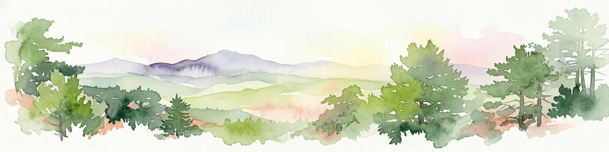
Watercolor illustration of a forested landscape with green trees, rolling hills, and distant mountains
National parkTurkey
About 200 km away#4 closest

West

Soğuksu National Park: Turkey's Highland Forest Protected Landscape Discovery

Explore mapped boundaries and unique Anatolian geography.

Soğuksu National Park serves as a significant protected natural area in central Turkey, celebrated for its substantial coniferous forest ecosystem. This park showcases a transition zone between major geographic regions, offering a unique highland landscape shaped by volcanic geology. Discover its mapped protected boundaries and its role as a vital natural atlas point within the broader Turkish geography, featuring diverse terrain and important ecological elements.

Area
11.87 km²
Established
1959
IUCN
II
Relief
Mountain
National parkAnkara
About 208 km away#5 closest

West

Battle of Sakarya National Historic Park: Mapped Terrain and Protected Battlefield Significance

Central Anatolian national park and historic combat landscape.

Battle of Sakarya National Historic Park protects the crucial terrain where the Turkish War of Independence reached a turning point. Located within the geographic scope of Ankara, this national park showcases the preserved battlefield, including strategic hills, trenches, and defensive positions that shaped the conflict. It offers a unique lens for understanding military history through landscape context and mapped terrain, providing a tangible connection to one of Turkey's most significant historical sites.

Established
2015
IUCN
II
Scope
Terrestrial
Water
No major water
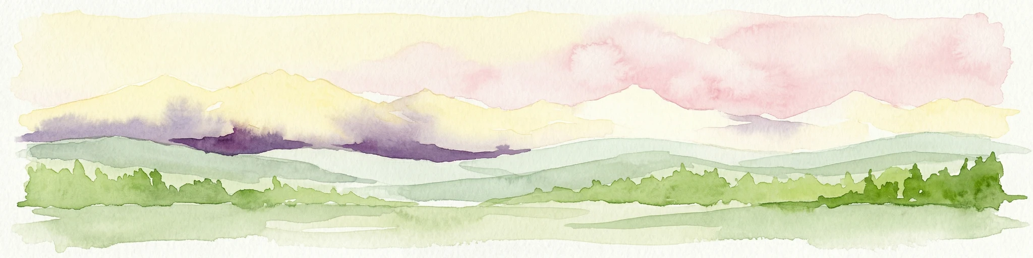
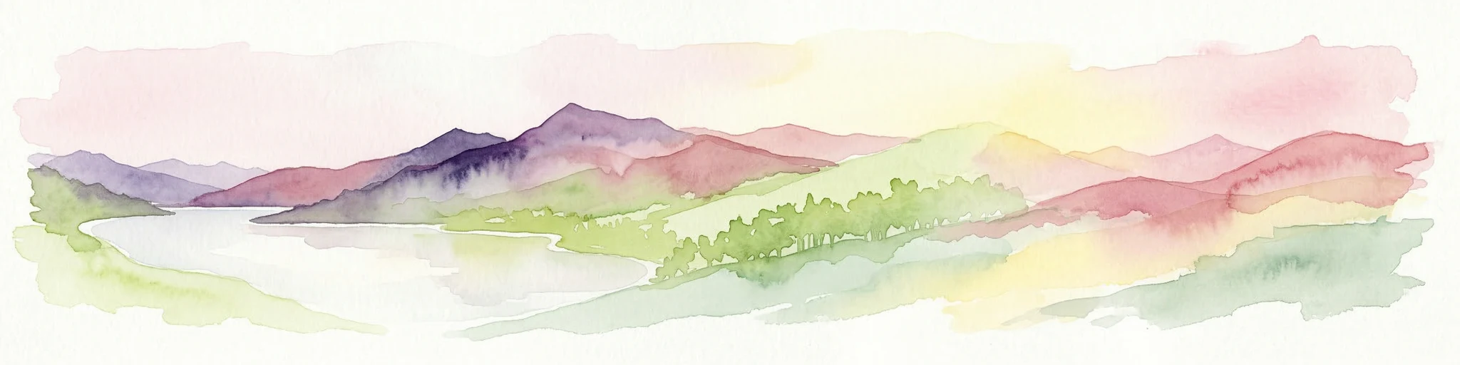
Watercolor painting showing a mountain landscape with layers of hills, green fields, and a sky with yellow, purple, and pink hues
National parkTurkey
About 214 km away#6 closest

South

Aladağlar National Park: Turkey's Dramatic Alpine Protected Landscape

Rugged terrain and crimson peaks in the Anti-Taurus Mountains.

Delve into Aladağlar National Park, a significant protected area defined by its striking alpine environment within Turkey's Anti-Taurus range. This park is renowned for its rugged, high-altitude wilderness, characterized by dramatic granite peaks that display a unique crimson coloration, especially at sunset. Its landscape features steep valleys, alpine lakes formed from snowmelt, and challenging mountaineering opportunities. MoriAtlas offers detailed map context to appreciate the geographic distinctiveness and ecological importance of this elevated protected terrain.

Area
550.65 km²
Established
1995
IUCN
II
Relief
Mountain
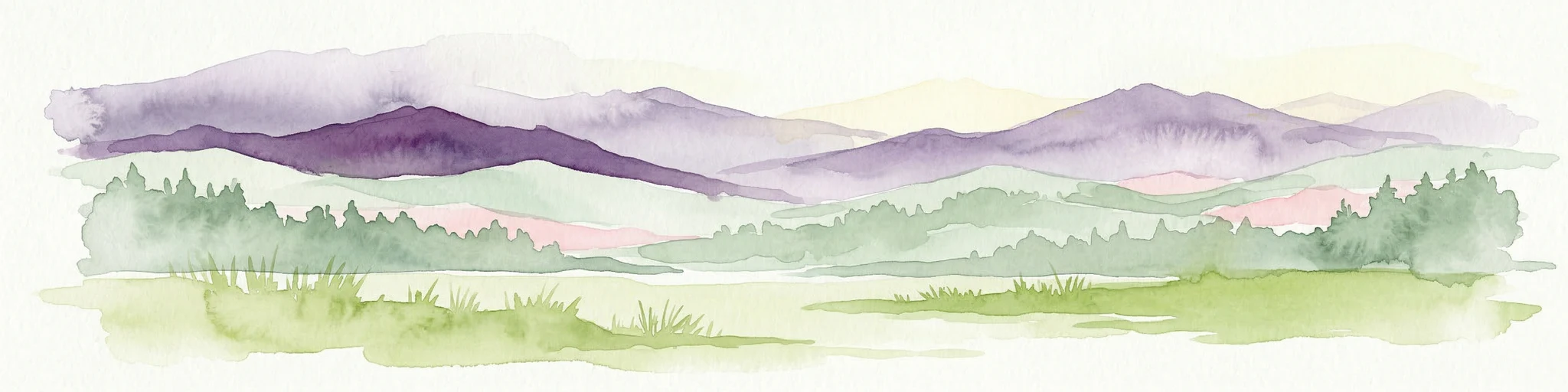
Watercolor illustration depicting mountain ranges, green forests, and a valley with a body of water
National parkKastamonu Province
About 242 km away#7 closest

Northwest

Küre Mountains National Park: Ancient Forests and Karst Canyons in Kastamonu Province

Explore Protected Landscape, Map Boundaries, and Regional Geography

Küre Mountains National Park, situated in Kastamonu Province, Turkey, offers a unique glimpse into ancient forest ecosystems and dramatic karst formations. As a protected national park, it is distinguished by its extensive canyon systems, including Horma and Valla, and significant cave networks like Ilgarini Cave. This entry provides detailed geographic context, helping users understand the park's terrain, protected boundaries, and its ecological importance within the Black Sea Region's natural landscape.

Area
377.53 km²
Established
2000
IUCN
II
Relief
Mountain
Watercolor painting showing multiple lakes surrounded by green trees and mountains under a light sky
National parkBolu Province
About 290 km away#8 closest

Northwest

Yedigöller National Park: Bolu Province's Landslide Lake and Forested Protected Landscape

Discover mapped terrain and unique natural park geography.

Yedigöller National Park presents a distinctive protected landscape within Bolu Province, notable for its chain of seven landslide-formed lakes and extensive, dense forests. This page serves as your entry point to understanding the park's geographic distribution, mapped boundaries, and the characteristic terrain that defines this important natural area. Explore the unique ecosystem and its place within the broader regional geography through structured atlas-style discovery.

Area
16.23 km²
Established
1965
IUCN
II
Relief
Mixed relief
Watercolor illustration showing mountains, a reservoir, and green landscape
National parkOsmaniye Province
About 304 km away#9 closest

Southeast

Karatepe-Aslantaş National Park: A National Park Bridging Ancient History and Natural Geography

Discover its protected landscape and mapped terrain in Osmaniye Province.

Karatepe-Aslantaş National Park stands as Turkey's second national park and its inaugural open-air museum, situated in Osmaniye Province. This protected area is renowned for its significant Neo-Hittite archaeological remnants, including iconic lion statues and the vital Karatepe Bilingual inscription. The park's landscape is characterized by slightly rugged terrain, woodlands, and maquis scrubland, all set against the backdrop of the Aslantaş Dam reservoir, providing a unique geographic context for exploring ancient heritage and natural ecosystems.

Area
41.45 km²
Established
1958
IUCN
II
Relief
Lowland
National parkAnkara Province
About 308 km away#10 closest

West

Mount Sarıçalı National Park: Turkey's Newest Protected Mountain Landscape

Ancient forests, endemic botany, and dramatic mountain terrain.

Mount Sarıçalı National Park, located in Ankara Province, Turkey, is a testament to the nation's commitment to conservation. This protected area is celebrated for its ancient forests, with larch, Kasnak oak, and juniper trees dating back 700-800 years. Its position at the confluence of three phytogeographic zones supports a rich array of 139 endemic plant species. The park's landscape is further characterized by the striking Uyuzsuyu Waterfall and the imposing Mount Sarıçalı peak, offering a profound geographic context for atlas exploration.

Area
10.24 km²
Established
2021
IUCN
II
Relief
Mountain
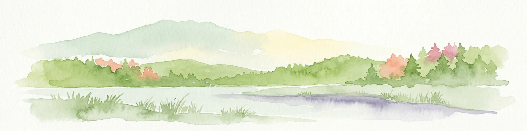
Watercolor painting of a lake surrounded by green hills and trees with colorful foliage
National parkBolu Province
About 315 km away#11 closest

West

Lake Abant National Park: Protected Volcanic Crater Lake & Alpine Landscape

Bolu Province, Turkey | National Park | Mapped Landscape

Lake Abant National Park is a protected national park renowned for its stunning volcanic crater lake and surrounding alpine forests within Bolu Province. This detailed entry provides insight into the park's geographic context, its unique volcanic terrain, and its status as a protected landscape. Explore the mapped boundaries and understand the ecological significance of this distinctive natural area in northwestern Turkey.

Area
11.965 km²
Established
2022
IUCN
II
Relief
Mountain
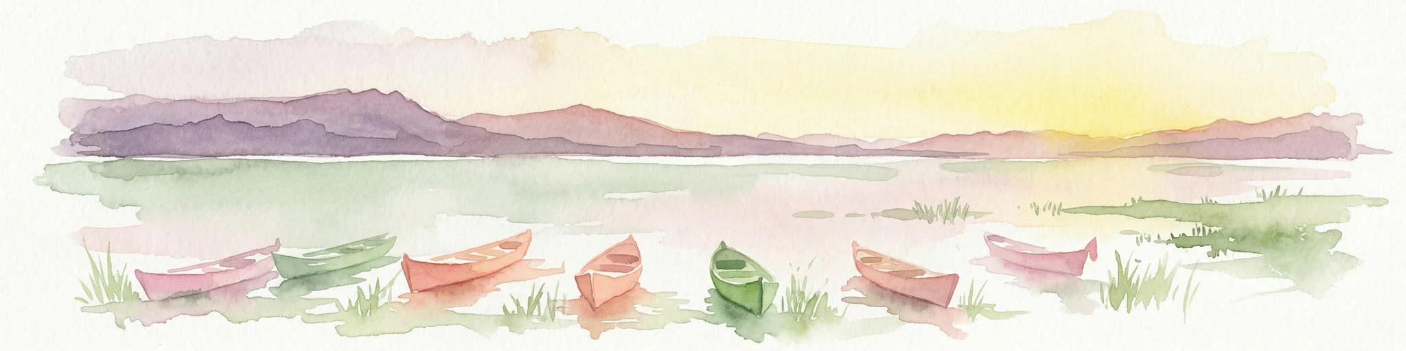
Watercolor painting of colorful rowboats on a lake with distant mountains
National parkKonya Province
About 354 km away#12 closest

Southwest

Lake Beyşehir National Park: Protected Landscape Geography and Mapped Boundaries

Discover the geography and mapped context of this national park in Konya.

Lake Beyşehir National Park is a major protected area in Turkey's Central Anatolia region, celebrated for its immense freshwater lake and diverse wetland habitats. The park's identity is strongly tied to its mapped boundaries that protect critical ecosystems, islands, and surrounding forested terrain. This page provides a detailed look at the park's geographic setting within Konya Province, serving as a valuable resource for atlas-based discovery of its unique natural and cultural landscape.

Area
868.55 km²
Established
1993
IUCN
II
Relief
Lowland
Watercolor illustration of green hills, pine trees, and distant mountains under a light sky
National parkIsparta Province
About 354 km away#13 closest

Southwest

Kızıldağ National Park: Protected Taurus Mountain Landscape and Atlas Context

Mapped boundaries, alpine terrain, and unique cedar forests.

Kızıldağ National Park offers a detailed look into Turkey's protected natural heritage, specifically highlighting the dramatic mountainous terrain of the Taurus Ranges. This page provides atlas-level geographic information about its mapped boundaries, the significant Dedegöl Mountain, and the rare blue-leaf cedar forests unique to this region. Understand its role as a vital conservation area within Isparta Province and the broader Mediterranean mountain ecosystem.

Area
551.06 km²
Established
1969
IUCN
II
Relief
Mountain
National parkTunceli Province
About 384 km away#14 closest

East

Munzur Valley National Park: Tunceli Province's Vast Protected Alpine Landscape

Discover Turkey's largest national park and its unique mountain geography.

Munzur Valley National Park stands as a monumental protected area within Tunceli Province, Turkey. Its expansive territory encompasses approximately 420 square kilometers of dramatic mountain ranges, deep river valleys, and high-altitude glacial lakes. The park's complex geological makeup, shaped by tectonic forces and glacial activity, contributes to its unique terrain. This atlas entry highlights the park's role as a major biodiversity hotspot and a significant feature within eastern Anatolia's regional geography, offering rich context for landscape exploration.

Area
420 km²
Established
1971
IUCN
II
Relief
Mountain
National parkTurkey
About 387 km away#15 closest

Southwest

Derebucak Çamlık Caves National Park: Turkey's Protected Karst Caves and Landscape

Explore Konya Province's longest cave system and its unique geological context.

Derebucak Çamlık Caves National Park is a vital protected landscape in central Turkey, celebrated for its extensive karst topography and significant cave formations. This national park encompasses thirteen unique caves and sinkholes, with Balatini Cave holding the distinction of being Konya Province's longest. The park's rugged terrain, characterized by pine forests and the Balat Stream feeding its underground systems, offers a profound look into Turkey's geological heritage and the conservation of its unique subterranean environments. MoriAtlas helps you navigate this mapped protected area.

Area
11.47 km²
Established
2022
IUCN
II
Relief
Upland
Watercolor painting showing a lake with green vegetation, rolling hills, and mountain range in the background
National parkTurkey
About 394 km away#16 closest

Southeast

Mount Nemrut National Park: Turkey's Protected Landscape and Geographic Atlas Entry

Explore the mapped boundaries of this significant national park.

Mount Nemrut National Park is a designated national park in Turkey, offering a distinct focus for protected landscape and geographic discovery. This page serves as an entry point to understanding its mapped boundaries, regional setting within southeastern Anatolia, and its significance as a protected natural area. Delve into the atlas context and explore the unique geographic features that characterize this important Turkish national park.

IUCN
II
Protected areaTurkey
About 398 km away#17 closest

West

Commander-in-Chief National Historic Park: Historic Battlefield Landscape in Turkey

Protected Area preserving pivotal geography and military history.

Commander-in-Chief National Historic Park is a designated protected area in Turkey, preserving the historic terrain of the decisive Battle of Dumlupınar. This site offers a unique glimpse into the geography and landscape that were instrumental in a key moment of the Turkish War of Independence. Explore the mapped context of this significant battlefield, understanding its role within the broader Anatolian geography and its importance as a preserved historic site.

Area
409.48 km²
Established
1981
IUCN
II
Relief
Mixed relief
Watercolor illustration showing a mountainous landscape with a lake and greenery
National parkAntalya Province
About 414 km away#18 closest

Southwest

Altınbeşik Cave National Park: A Karst Landscape with Turkey's Largest Subterranean Lake

Protected lands and mapped geological formations in Antalya Province.

Altınbeşik Cave National Park represents a significant protected karst landscape within Antalya Province, Turkey. The park's primary feature is the renowned Altınbeşik Cave, home to Turkey's largest subterranean lake and exceptional travertine formations. Explore the mapped geography of this unique national park, understanding its role as a critical discharge point for one of the world's longest karst aquifer systems.

Area
11.47 km²
Established
1994
IUCN
II
Relief
Mixed relief
Watercolor illustration of a mountainous landscape with a river, trees, and a colorful sky
National parkTurkey
About 418 km away#19 closest

Southwest

Köprülü Canyon National Park: Protected Landscape Atlas and Geographic Context

Discover unique geological formations and river canyon terrain.

Köprülü Canyon National Park represents a vital protected natural area, showcasing remarkable geological formations and a dramatic river canyon landscape. This entry provides a structured exploration of its mapped boundaries, regional geographic setting, and the unique terrain that defines this significant natural reserve, ideal for atlas-based discovery.

IUCN
II
Watercolor painting showing a lake, mountains, trees, and grassy shoreline
National parkIsparta Province
About 420 km away#20 closest

Southwest

Lake Kovada National Park: Mapped Protected Landscape in Isparta Province

Discover the geography and lake ecosystem of this Turkish national park.

Lake Kovada National Park offers a detailed look at a protected natural area within Turkey's Isparta Province. This page provides insights into the park's protected landscape, focusing on the central freshwater lake and its surrounding montane terrain. Explore its geographic context, mapped boundaries, and status as a significant protected area within the Taurus Mountain region, ideal for atlas-based discovery of Anatolian natural environments.

Area
65.51 km²
Established
1970
IUCN
II
Scope
Terrestrial
Distance methodology

Geographic measurements, not driving distances

How nearby park distances are calculated

Distances use park boundaries whenever the available geometry allows it. When one or both boundaries are missing, the mapped park locations provide a clearly labelled estimate. Every value represents straight-line geographic separation and does not use roads or routing.

Boundary distance

Calculated between the nearest points of both park boundaries.

Location-to-boundary estimate

Estimated from one mapped park location to the nearest boundary of the other park.

Mapped-location estimate

Estimated between the mapped locations of both parks.

MoriAtlas Explorer

Continue Exploring Yozgat Pine Grove National Park's Unique Geographic Context

Delve deeper into the protected area details and regional geography surrounding Yozgat Pine Grove National Park. Understand how its unique forest island landscape fits into the broader atlas of Central Anatolian protected lands. Our platform provides structured data to illuminate the park's specific terrain, mapped boundaries, and its historical significance in conservation, offering a rich foundation for geographic discovery.