National parkLithuania

Curonian Spit National Park
Exploring the narrow peninsula landscape of Lithuania
Curonian Spit National Park, in Lithuania. Landscapes: dunes, beaches, and coasts.
- Area
- 264.74 km²
- Established
- 1991
- IUCN
- II
- Visitors
- 400K annual

Browse and navigate the mapped natural landscapes and protected lands of Lithuania.
Explore maps and profiles of protected areas in Lithuania, including Curonian Spit and Aukštaitija.

Comparing conservation history, regional climates, and forest habitats across Baltic reserves
Known protected area
Area data available for 17 of 18 parks.
Median park size
Median across 17 parks with known area.
Discover the geographic distribution of protected areas across Lithuania's varied terrain and Baltic Sea coastline.
Lithuania is a unitary semi-presidential republic and one of three Baltic states in Northern Europe. It lies on the eastern coast of the Baltic Sea, with Vilnius as its capital and largest city. The country regained independence in 1990 after Soviet occupation and joined the European Union in 2004. Lithuania has a population of about 2.9 million and covers an area of 65,300 km².
Lithuania, officially the Republic of Lithuania, is a Baltic nation in Northern Europe. Historically, the Grand Duchy of Lithuania was one of the largest countries in Europe in the 14th century before forming the Polish-Lithuanian Commonwealth with Poland in 1569. After partitions of the Commonwealth, Lithuania was annexed by the Russian Empire until declaring independence in 1918. Following Soviet occupation during World War II, Lithuania restored its independence in 1990 and became a member of the European Union in 2004. The country operates as a semi-presidential republic with a mixed Catholic and secular population.
Explore Lithuania's Mapped Protected Landscapes and Conservation Areas
Exploring the narrow peninsula landscape of Lithuania
Curonian Spit National Park, in Lithuania. Landscapes: dunes, beaches, and coasts.
Mapped geography and lake district atlas for this Baltic region park.
Aukštaitija National Park, in Lithuania. Landscapes: lakes, rivers, and forests.
Mapped protected area geography and natural terrain of the Dainava region.
Dzūkija National Park, in Lithuania. Landscapes: dunes, forests, and wetlands.
Explore Lithuania's historic park and its mapped geographic context.
Trakai National Historic Park offers a rich tapestry of medieval history intertwined with a captivating lake district landscape. As a protected area in southeastern Lithuania, it preserves significant architectural monuments, including the iconic Trakai Castle, set against a backdrop of interconnected lakes, forests, and wetlands. MoriAtlas provides a structured overview of its geographic boundaries and regional setting, facilitating atlas-style exploration of this historically significant protected landscape.
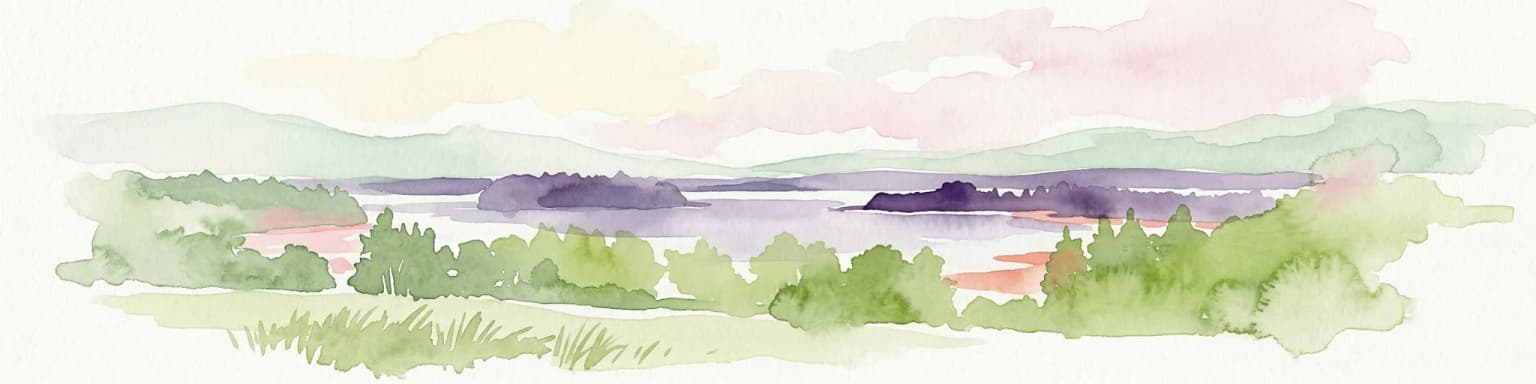
Explore protected areas and natural geography in Northwestern Lithuania.
Žemaitija National Park is a protected natural reserve in Lithuania, defined by its distinctive glacially sculpted landscape. This park preserves over 217 square kilometers of hilly terrain, featuring significant lake systems like Lake Plateliai and substantial forest cover interspersed with wetlands. Users can explore the park's unique topographic character, its mapped geographic features, and its role as a vital protected area within the Samogitian region, offering a rich context for atlas-based discovery.
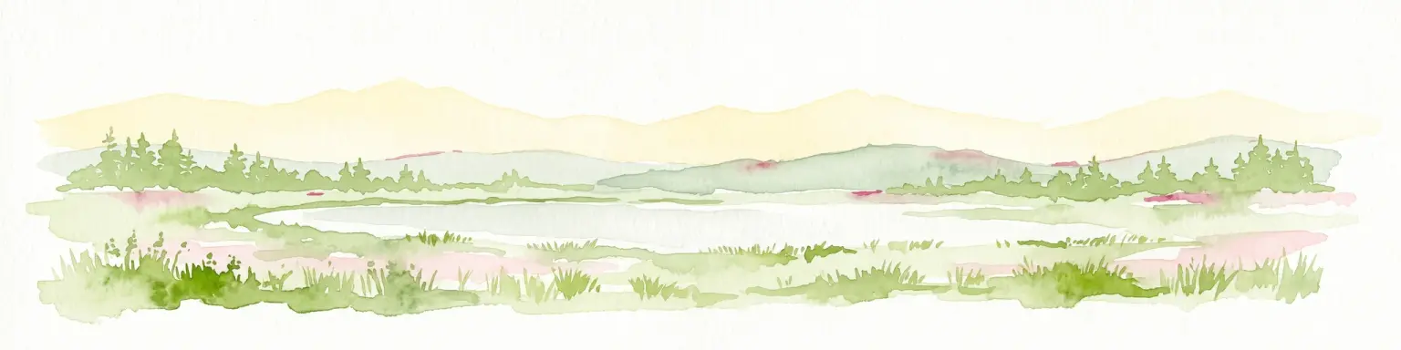
A wild expanse of raised bogs and inland dunes.
Čepkeliai Nature Reserve features an exceptionally large and undisturbed raised bog complex situated in southern Lithuania. This protected territory within the Varėna District Municipality spans varied terrain, including stabilized sandy dunes, forested islands, and the Katra River valley. Its complex ecological structure preserves rare bird populations and deep peat deposits that reflect centuries of post-glacial history.
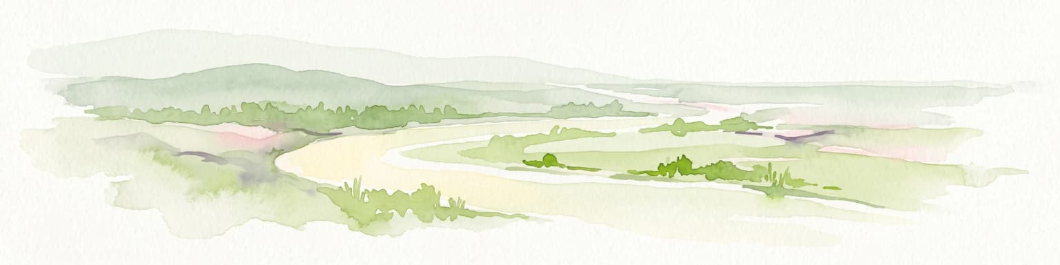
Explore the complex hydrology and floodplain geography of this Ramsar-listed regional park
Nemunas Delta Regional Park protects a unique river delta landscape shaped by seasonal floods and intricate water channels. Covering the lowlands where the Nemunas River reaches the Baltic Sea, the park is a primary site for ornithological research and wetland conservation, home to Rusnė Island and Lake Krokų Lanka. This protected area offers profound insight into coastal delta formation and the ecological importance of lowland floodplains.
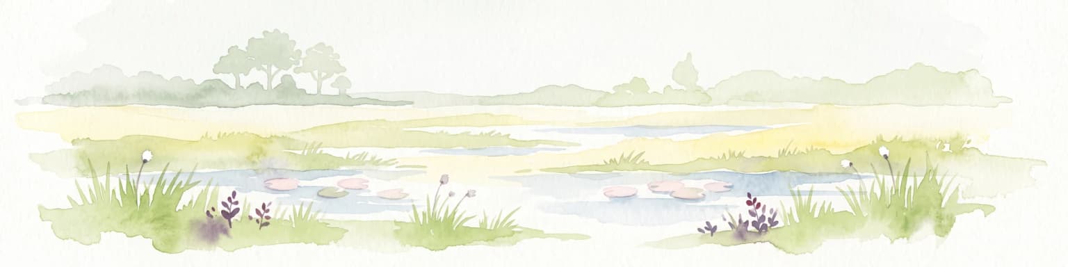
Geographic reference and protected habitat in Akmenė District Municipality
Deepen your understanding of Kamanų valstybinis gamtinis rezervatas, an IUCN Category Ia protected area in Lithuania. Trace the boundaries of its iconic raised bog, mineral islands, and deep spruce woodlands that define this significant northern regional landscape.
Central Baltic lowland conservation territory
Spanning central Lithuania, this biosphere reserve preserves a vast mosaic of deciduous, coniferous, and mixed forest lands. The territory supports high-quality bird habitats through disciplined forestry practices and the protection of complex wetland and peatland systems, making it a reference site for lowland forest conservation.
Protected forest massif and glacial landscape mapping
Šimonių giria stands as a prominent biosphere reserve in northern Lithuania, offering an expansive, pine dominated woodland defined by post glacial sands, extensive peat bogs, and a network of interior lakes. This structured overview details the park geographical features, from its role in the Natura 2000 network to its critical function as a biodiversity monitoring site within the Anykščiai District Municipality.
Central Lithuania protected landscape and wetland mapping
This nature reserve in the Kaunas district protects a rare combination of mature pine forest and open raised bog habitats. By preserving long term undisturbed ecological processes, it provides a stable reference point for forest dynamics in the region. Explore the structural complexity of these coniferous stands and the distinct wetland characteristics of this protected Baltic landscape.
Broadleaved forests and wetland ecosystems in central Lithuania
Gain insights into the protected landscape of Viliukų, Karpių miškai in the Ukmergė District. This biosphere reserve provides a detailed view of lowland forest ecosystems, characterized by spruce and birch dominance within an undulating terrain that sustains rare insect and plant communities.
Understand how Lithuania is shaped by terrain, ecosystems, and seasonal conditions
Lithuania is situated on the eastern shore of the Baltic Sea in Northern Europe. It borders Latvia to the north, Belarus to the east and south, Poland to the south, and Russia's Kaliningrad Oblast to the southwest. The country also has a maritime border with Sweden to the west. The terrain is largely flat with rolling hills, numerous lakes, and rivers. The Nemunas River is the longest river in the country.
Lithuania features diverse ecosystems including forests, wetlands, and coastal areas along the Baltic Sea. The country has several protected areas and national parks, with Aukštaitija National Park being one of the oldest. The Curonian Spit, a UNESCO World Heritage site shared with Russia, features unique sand dunes along the Baltic coast.
Lithuania has a humid continental climate with cold winters and mild summers. Average winter temperatures range from -5°C to -10°C, while summer temperatures average around 17°C to 20°C. The country experiences moderate precipitation year-round.
Related topics and popular queries
Visualize the spatial layout of Lithuania's protected areas and national parks across its Baltic terrain.
Understanding Lithuania's Protected Landscapes, Geographic Distribution, and Conservation Context
Expand your park atlas: Compare protected landscapes and national park geography across countries near Lithuania and throughout Northern Europe.

Parks and protected areas in Poland, including Białowieża and TPN.

Parks and protected areas in Ukraine, including Carpathian National Nature Park and Synevyr.

Parks and protected areas in Sweden, including Sarek and Abisko.

Parks and protected areas in Slovakia, including TANAP and Poloniny.

Parks and protected areas in Estonia, including Lahemaa and Soomaa.

Parks and protected areas in Latvia, including Gauja and Ķemeri.

Parks and protected areas in Belarus, including Belavezhskaya Pushcha and Braslaw Lakes.

Parks and protected areas in Kosovo, including Bjeshkët e Nemuna National Park and Sharr Mountains.
Protected area types
Delve deeper into Lithuania's protected area system by following specific designation pathways. Each represented category offers a unique lens through which to understand the country's natural landscapes, from national parks to other conservation areas. Use this route to uncover the geographic details and mapped context that define Lithuania's commitment to preserving its natural heritage.
Find a park and explore its geography, habitats, and monthly climate.