Northwest
Manu National Park
Explore its protected landscape and regional geography.
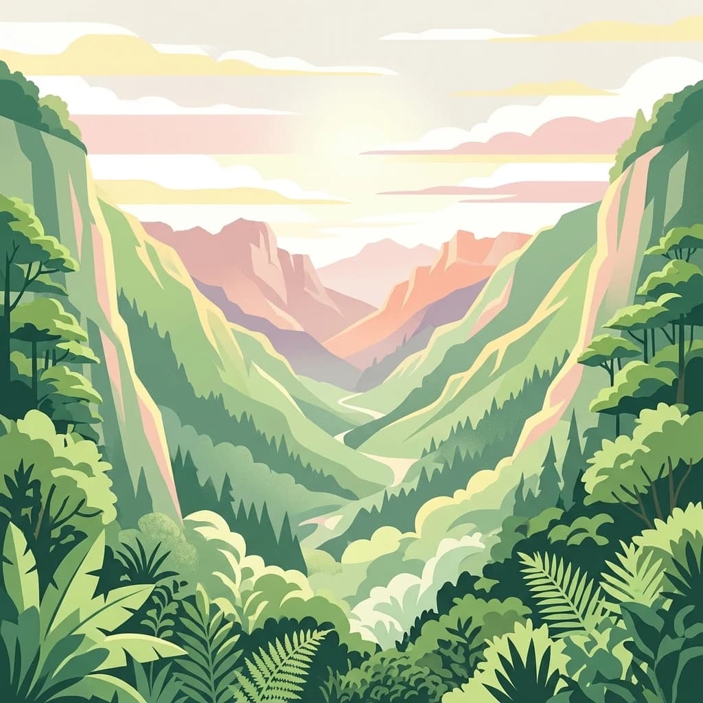
Manu National Park, in Madre de Dios Region, Peru. Landscapes: mountains, valleys, and forests.
- Area
- 17,162.9 km²
- Established
- 1973
- IUCN
- II
- Relief
- Mixed relief
Mapping the regional distribution of conservation areas in the Madre de Dios landscape
Explore the geographic distribution of protected lands surrounding Amarakaeri Communal Reserve within the Madre de Dios Region of Peru. This atlas-focused overview helps users identify neighboring parks, map the spatial relationships between diverse forest ecosystems, and understand the broader topographic context of this Amazonian and Andean transition zone.
Related tags
An indigenous-led Amazonian reserve protecting Harakbut heritage and southeastern Peruvian rainforest.
The Amarakaeri Communal Reserve is a protected area in southeastern Peru, situated in the Madre de Dios Region within Manú Province. It safeguards a large block of Amazonian forest at the meeting point between the lowland Southwest Amazon moist forests and the steeper, cloud-influenced Peruvian Yungas ecoregions. The reserve is notable not only for its ecological richness but also for its cultural significance, as it is managed in connection with the indigenous Harakbut people who have long inhabited this part of the Peruvian Amazon. Beyond its biodiversity value, the reserve contains one of the most striking natural features in the region: the so-called Harakbut Face, a landscape formation resembling a human profile that the Harakbut consider a sacred presence. The site has become a symbol of the intersection between indigenous cosmology, Amazonian geography, and Peru's broader heritage system, and it has helped raise the international profile of the reserve.
See the ranked park cluster in its geographic setting
Distance-ranked protected landscapes and regional park geography surrounding Amarakaeri

Northwest
Explore its protected landscape and regional geography.
Manu National Park, in Madre de Dios Region, Peru. Landscapes: mountains, valleys, and forests.

East
Explore its mapped protected landscape and diverse terrain.
Bahuaja-Sonene National Park, in Peru. Landscapes: hills, mountains, and valleys.
North
Mapped boundaries and regional geographic context.
Investigate Alto Purús National Park, a designated national park within Peru. This detailed page provides essential context for understanding the park's geographic location, its protected status, and its role within the broader landscape of western South America. Explore the mapped features and regional setting that define this important conservation area.

East
Explore mapped boundaries and regional context in La Paz Department.
Madidi National Park is a designated national park situated in Bolivia's La Paz Department. This detail entry offers a focused perspective on its protected landscape, its specific geographic setting, and its role within the larger atlas of natural areas. Understand the park's mapped boundaries and its contribution to the regional geography, providing a foundation for structured discovery of Bolivia's protected lands.

East
Map and geographic context of Pando Department wildlife reserves
Spanning over 700,000 hectares, this wildlife reserve safeguards representative Amazonian ecosystems. Explore the hydrological network of the Madre de Dios and Manuripi river basins, ancient Brazil nut stands, and diverse wetland formations that define this significant regional protected area.
Northwest
Explore the mapped boundaries and regional landscape of Otishi National Park.
Otishi National Park represents a significant protected area within Peru, offering a unique lens through which to explore regional geography and conservation landscapes. As a designated national park, it highlights the mapped boundaries and the natural terrain that defines this part of South America. Understanding Otishi National Park provides essential context for regional park discovery and the broader atlas of protected lands in Peru.

Southeast
High-altitude glacial geography and Andean-Amazonian transition zones
Located in the department of La Paz, this protected area features a rugged landscape defined by tectonic uplift and Quaternary glaciation. It safeguards critical high-Andean habitats, including peatlands and Polylepis woodlands, while providing a essential refuge for vicuña populations within its steeply dissected mountain topography.
East
A transitional protected landscape in the Beni Department of Bolivia
Spanning a vast transition from Andean slopes to the Llanos de Moxos floodplain, Área Protegida Municipal Rhukanrhuka protects a dynamic mosaic of white-water rivers, gallery forests, and tectonic lakes. This significant municipal reserve serves as a refuge for threatened species and sustains indigenous Maropa communities within its borders, anchoring an essential conservation corridor in the northern Amazon.

Northwest
Analyzing the Sira Mountain range and regional watershed boundaries
El Sira Communal Reserve sits at the intersection of the Andes and the Amazon, protecting a vast mosaic of habitats across Huánuco, Pasco, and Ucayali. Its geography is defined by deep river valleys, mountain ridges, and a significant altitudinal range that supports diverse wildlife communities. This resource provides a detailed look at the boundaries, terrain, and ecological importance of this major Peruvian protected area.

Northwest
A vital watershed corridor in the Pasco Region of central Peru.
San Matías, San Carlos Protection Forest protects fragile mountain soils and downstream infrastructure from erosion and flooding. Stretching from 300 to 2,250 metres in elevation, the reserve supports a continuous block of highland habitat that serves as a bridge between the Peruvian Yungas and Ucayali moist forest ecoregions, while acting as a cornerstone of the Oxapampa-Asháninka-Yánesha Biosphere Reserve.

Southeast
Mapping the Andean Amazonian transition in northern Bolivia
Spanning from high mountain ridges to the river plains of the Beni, this protected area features a unique vertical gradient of ecosystems including cloud forests and terra firme. It represents a significant model for indigenous co governance and biodiversity protection within the broader Andean and Amazonian geographic context.

East
A large-scale municipal sanctuary in the Bolivian Amazon
This significant protected area encompasses the expansive floodable savannas of the Llanos de Moxos. Its mosaic of forest islands and riverine wetlands provides a critical refuge for endemic species and iconic Amazonian wildlife. The geography is shaped by the Yacuma River, creating a seasonal environment that bridges indigenous heritage with modern conservation land management.

Southeast
High-altitude mountain terrain and glacial lake systems in Bolivia
Spanning elevations between 4,500 and 6,200 meters, Parque Nacional Tuni Condoriri represents a primary example of high-Andean topography. The landscape is defined by the serrated Condoriri massif, a series of interconnected glacial lakes, and expansive high-altitude grasslands. This protected area remains a focal point for understanding the hydrological and geological processes shaping the mountain environments of the La Paz region.

Southeast
Explore its mapped boundaries and regional geographic context.
Delve into the protected landscape identity of Cotapata National Park and Integrated Management Natural Area, situated within the La Paz Department of Bolivia. This entry provides essential geographic context, focusing on its mapped protected area status and its contribution to the regional landscape, ideal for atlas-based exploration and understanding Bolivia's conservation network.

West
High-altitude glacial landscape and karst geology
Investigate the high-Andean environment of Nor Yauyos-Cochas Landscape Reserve, a protected area in the Lima Region spanning glacial lakes and deep valleys. Focus on the topographic diversity of the Pariacaca massif and the global significance of its subterranean karst features. This atlas provides a detailed spatial look at how these high-elevation ecosystems and traditional cultural landscapes integrate into the broader Peruvian geography.
Northwest
A vital transition zone between the Andes and the Amazon
Gain insight into the physical character of Yanesha Communal Reserve, where humid tropical forests and river channels converge to form a complex ecosystem. This protected area offers a look at how sustainable land use and conservation intersect within the Palcazu River basin. Browse the geographic boundaries and mapped landscape features that define this essential region in central Peru.

Northwest
Mapped terrain, Pleistocene refuge, and rich biodiversity.
Yanachaga, Chemillén National Park, a national park situated in Peru's Pasco Region, preserves over 122,000 hectares of mountainous cloud forest and rainforest ecosystems. Its landscape is characterized by dramatic canyons and steep forested slopes, creating significant altitudinal variation from 460 to 3,643 meters. Recognized as a Pleistocene refuge, the park shelters ancient forest remnants and harbors exceptional biodiversity, including hundreds of bird species and iconic mammals, offering rich context for geographic and protected-area exploration.
East
Mapping flooded grasslands and gallery forest ecosystems
Reserva natural Barba Azul stands as a key protected area within the Bolivian Amazon lowlands. This nature reserve, centered in the Beni Department, preserves a rare mosaic of motacú palm forests and seasonal wetlands that serve as a critical stronghold for endangered parrots and migratory shorebirds within the larger Llanos de Moxos region.

East
Examining the Amazonian lowland mosaic of northern Bolivia
The Reserva de Biosfera Estación Biológica del Beni sits within the wide alluvial plains of the Llanos de Moxos. This protected area features a unique, flat terrain where tropical forest fragments persist as islands amidst seasonally flooded palm savannas, cyperaceous marshes, and shallow lagoons, providing a critical study area for Amazonian biodiversity.

East
Amazonian forest sanctuary and ancestral Tacana landscape
Reserva Municipal Aquicuana encompasses a significant expanse of Amazonian rainforest within the Beni Department. Centered on the Lago San José ecosystem, this nature reserve protects diverse birdlife and ancient forest tracts. The area represents a living intersection of conservation, indigenous Tacana heritage, and traditional community land use within the broader context of the Bolivian Amazon.
Geographic measurements, not driving distances
Calculated between the nearest points of both park boundaries.
Estimated from one mapped park location to the nearest boundary of the other park.
Estimated between the mapped locations of both parks.
Deepen your understanding of how Amarakaeri Communal Reserve functions as a bridge between distinct Peruvian ecosystems. MoriAtlas provides mapping and data context to help you trace its role in the Madre de Dios Region, covering its unique transition from lowland Amazonia to the rugged Andean foothills and its status as an indigenous-managed protected landscape.