Mori Atlas logo
Nearby park discovery

Discover surrounding landscape context and regional park geography

Protected Areas and National Parks Near Ashizuri-Uwakai National Park in Japan

Explore the geographic distribution of protected areas located in the vicinity of Ashizuri-Uwakai National Park. This regional perspective maps nearby parks and natural landscapes across the southwestern coast of Shikoku, providing a clear view of how these protected environments connect within the broader Japanese national park system.

An illustration of a white lighthouse standing on a forested granite cliff overlooking a blue ocean, with lush vegetation in the foreground and a hazy pastel sunset in the background.

Subtropical coastline and granite cliffs at Shikoku's southernmost point

Ashizuri-Uwakai National Park

Ashizuri-Uwakai National Park protects the dramatic southwestern coastline of Shikoku, Japan's smallest main island. The park encompasses portions of both Ehime and Kōchi prefectures, centering on Cape Ashizuri, the island's southernmost point where granite cliffs rise above the Pacific Ocean. The landscape is defined by its subtropical coastal environment, rugged headlands, and scattered marine islands that create a distinctive visual identity for this corner of Japan. Established as a national park in 1972, the area had previously functioned as a quasi-national park since 1955. The park holds significance beyond its natural features as the birthplace of Nakahama Manjiro, the first Japanese citizen to visit the United States, who was shipwrecked and rescued near these shores in the mid-nineteenth century. The combination of geological character, ecological diversity, and historical importance makes this park a notable protected area within Japan's national park system.

Location
Japan
Park type
National park
Established
1972
Area
113.5 km²
Ashizuri-Uwakai National Park Atlas
Regional park map

See the ranked park cluster in its geographic setting

Nearby parks around Ashizuri-Uwakai National Park

This regional map shows the same 20 nearby parks ranked below around Ashizuri-Uwakai National Park. Select a ranked marker to highlight that park’s boundary where boundary data is available.
Reference park: Ashizuri-Uwakai National ParkRanked nearby park20 nearby parks shown
20 nearby parks

Distance-ranked protected landscapes and regional geography surrounding Shikoku

Parks and Protected Areas Geographically Near Ashizuri-Uwakai National Park

Spatial proximity measurements organize surrounding protected areas by linear separation from Ashizuri-Uwakai National Park to establish structured regional comparisons. Examining neighboring terrain profiles reveals distinct environmental gradients across nearby coastal and terrestrial conservation zones.
A stylized flat illustration of a mountainous landscape featuring a valley with agricultural fields, winding rivers, and forests under a soft pink sunset sky.
National parkŌita Prefecture
About 150 km away#1 closest

West

Aso-Kujū National Park: Ōita Prefecture's Protected Landscape Atlas

Mapped boundaries and regional geographic context for this national park.

Delve into the protected landscape of Aso-Kujū National Park, situated within the geographic region of Ōita Prefecture. This page provides detailed insight into the park's mapped terrain, its designation as a national park, and its contribution to the atlas of protected areas. Understand the park's landscape context and its significance as a conserved natural area.

Area
726.78 km²
Established
1934
IUCN
II
Relief
Mountain
An illustration showing a coastal landscape with several small rocky islands covered in vegetation scattered in the Seto Inland Sea, a curved sandy beach in the foreground, and a small torii gate visible on the distant shore under a sunset sky.
National parkJapan
About 163 km away#2 closest

North

Setonaikai National Park: Japan's Premier Island Archipelago and Coastal Protected Landscape

Explore the unique marine geography and mapped island environments.

Setonaikai National Park is Japan's largest national park, renowned for its stunning marine environment within the Seto Inland Sea. This protected area features approximately 3,000 islands, showcasing weathered granite formations, coastal forests, and dynamic tidal phenomena like the Naruto whirlpools. The park offers a unique atlas-style exploration of island geography, coastal landscapes, and significant cultural sites, making it a cornerstone of Japan's protected natural heritage.

Area
669.34 km²
Established
1934
IUCN
II
Visitors
40.6M annual
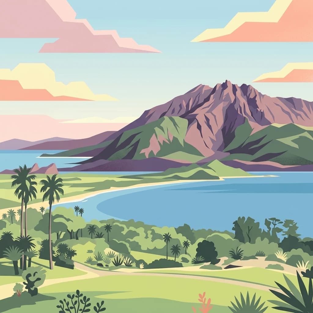
A stylized digital illustration of a prominent volcanic mountain rising above a blue bay, surrounded by lush coastal greenery and palm trees under a soft-colored sky.
National parkJapan
About 238 km away#3 closest

Southwest

Kirishima-Kinkowan National Park: Exploring Japan's National Park Geography and Mapped Boundaries

A protected landscape within Japan's diverse terrain.

Kirishima-Kinkowan National Park represents a distinct protected area within Japan, offering critical insights for geographic exploration. This page details the park's specific mapped boundaries and its contribution to the regional landscape. Understanding this national park provides a structured entry point for exploring Japan's protected natural areas and their unique geographical characteristics through an atlas lens.

Area
365.86 km²
Established
1934
IUCN
II
Relief
Mountain
A stylized digital illustration of a mountainous volcanic landscape featuring a central lake and a small town nestled in a valley.
National parkNagasaki Prefecture
About 239 km away#4 closest

West

Unzen-Amakusa National Park: Volcanic Terrain and Island Geography

Explore Nagasaki Prefecture's Protected Landscape

Unzen-Amakusa National Park represents a significant protected area within Japan's geography, characterized by the imposing presence of Mount Unzen and the distinct maritime environment of the Amakusa islands. This national park offers an opportunity to study volcanic landscapes, coastal formations, and the rich cultural history intertwined with its natural setting. Understanding its mapped boundaries and geographic context provides valuable insight into Japan's protected lands and regional landscape diversity.

Area
282.79 km²
Established
1934
IUCN
II
Relief
Mixed relief
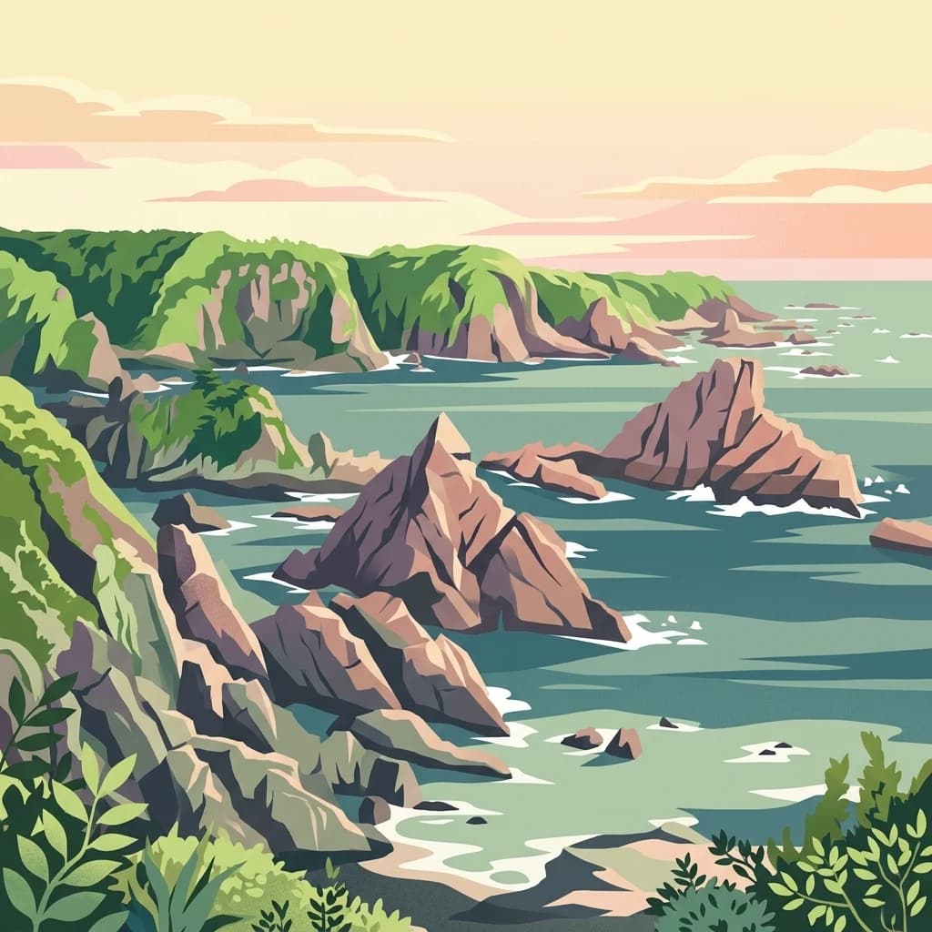
An illustration of a rocky coastline meeting the sea, featuring jagged cliffs with green vegetation, pointed sea stacks in the water, and a soft, pastel-colored sunset sky.
National parkKansai
About 297 km away#5 closest

Northeast

Yoshino-Kumano National Park: Protected National Park with Sacred Mountain Landscapes and Ancient Routes

Explore mapped park boundaries, gorges, and pilgrimage routes in Kansai.

Yoshino-Kumano National Park, a significant national park in Japan's Kansai region, invites exploration of its protected landscapes, which are deeply intertwined with spiritual heritage. Discover the park's rugged mountain terrain, ancient cypress and cedar forests, dramatic gorges like Dorokyō Gorge, and iconic coastal areas. This park is a vital entry for understanding Japan's confluence of natural geography and cultural pilgrimage, offering rich context for mapped landscape discovery.

Area
616.04 km²
Established
1936
IUCN
II
Relief
Mountain
A stylized illustration showing a mountain range in the background behind a lush forest and a rocky stream with a small waterfall.
National parkChūgoku region
About 310 km away#6 closest

North

Daisen-Oki National Park

Mapped geography and protected land context.

Daisen-Oki National Park, in Chūgoku region, Japan. Landscapes: mountains, cliffs, and coasts.

Area
694.105 km²
Established
1936
IUCN
II
Visitors
9.3M annual
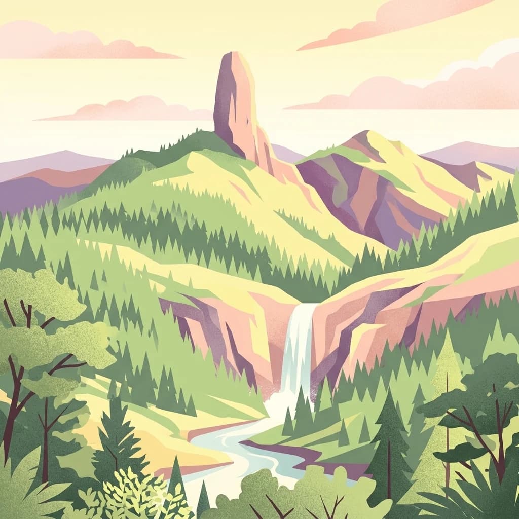
A flat-style digital illustration depicting a rocky peak, a flowing waterfall, and surrounding coniferous forest in soft pastel colors.
National parkKagoshima Prefecture
About 342 km away#7 closest

Southwest

Yakushima National Park: Ancient Cedar Forests and Volcanic Mountain Landscape

Discover the mapped boundaries and protected area geography.

Yakushima National Park, situated in Kagoshima Prefecture, is a prime example of protected island geography, renowned for its ancient yakusugi cedar trees and dramatic mountainous terrain. The park's protected status covers over 32,000 hectares, featuring peaks over 1,900 meters and significant biodiversity. This atlas-focused entry helps users grasp the park's unique landscape context, its position within Japan's protected areas, and the essence of its natural environment for geographic exploration.

Area
325.53 km²
Established
2012
IUCN
II
Relief
Mountain
An illustration depicting coastal sand dunes with sparse vegetation leading to a sea coastline under a sunny sky.
National parkTottori Prefecture
About 356 km away#8 closest

Northeast

Sanin Kaigan National Park: Explore its Mapped Boundaries and Regional Geography

Tottori Prefecture National Park Landscape Context

Sanin Kaigan National Park is a key protected area offering detailed insights into Japan's natural landscapes. As a designated national park situated in Tottori Prefecture, it provides a rich subject for geographic discovery. This park's mapped boundaries and its integration into the regional geography of Tottori Prefecture are central to understanding its protected landscape character. MoriAtlas facilitates a structured exploration of Sanin Kaigan National Park, emphasizing its atlas-relevant geographic attributes and its identity as a conservation area.

Area
87.83 km²
Established
1963
IUCN
II
Relief
Mixed relief
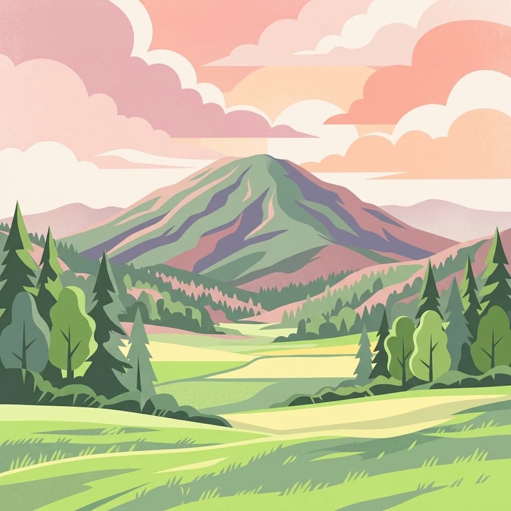
A graphic illustration depicting a central mountain peak behind a foreground of green fields and evergreen trees under a soft-colored sky with clouds.
National parkMie Prefecture
About 394 km away#9 closest

Northeast

Ise-Shima National Park

Mapped protected landscapes and natural terrain context.

Ise-Shima National Park, in Mie Prefecture, Japan.

Area
746.44 km²
Established
1946
IUCN
II
Visitors
8.2M annual
A stylized illustration showing tall vertical rock cliffs along a coastline with green foliage in the foreground and a calm sea meeting a sunset horizon.
National parkNagasaki Prefecture
About 412 km away#10 closest

West

Saikai National Park: Japan National Park Geography and Protected Area Mapping

Explore Nagasaki Prefecture's protected natural landscapes.

Delve into the detailed geographic information and protected area context of Saikai National Park. As a national park situated in Nagasaki Prefecture, it represents a key area for understanding Japan's regional geography and its network of protected lands. This entry facilitates atlas-based discovery of the park's boundaries, its terrain, and its unique role within the mapped landscape of Kyushu.

Area
246.46 km²
Established
1955
IUCN
II
Visitors
4.6M annual
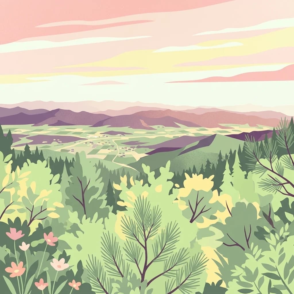
An illustration showing a panoramic view of a valley with mountains in the background and foreground vegetation including pine-like trees and small flowers, rendered in a stylized, flat-color art style with soft sunset hues.
National parkNorth Gyeongsang Province
About 467 km away#11 closest

Northwest

Gyeongju National Park: National Park Protected Landscape in North Gyeongsang Province

Mapped boundaries and regional geographic context.

Gyeongju National Park serves as a significant protected area within North Gyeongsang Province, offering a distinct national park identity. This entry focuses on its geographical significance, detailing its mapped boundaries and providing essential context for atlas exploration. Understand how this protected landscape fits within the broader regional geography and discover its place in the structured mapping of South Korea's natural heritage.

Area
137.09 km²
Established
1968
IUCN
II
Relief
Mixed relief
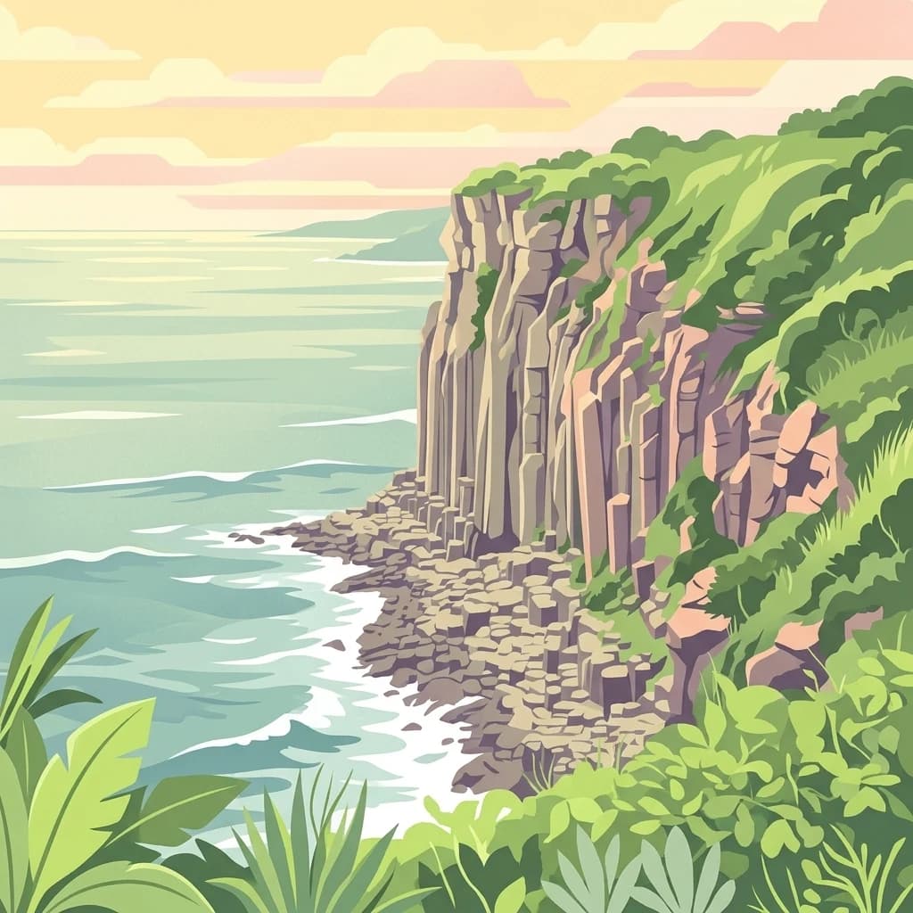
A digital illustration of a calm, rocky coastline with green hills overlooking the sea during a pastel-colored sunrise.
National parkSouth Korea
About 510 km away#12 closest

West

Dadohaehaesang National Park: Exploring South Korea's Coastal Protected Area Boundaries

Mapped landscape context and regional geography.

Delve into the protected landscape of Dadohaehaesang National Park, a significant national park located in South Korea. This entry provides critical geographic information, detailing the park's mapped boundaries and its place within the broader regional terrain. It serves as an essential resource for understanding the park's protected status and its unique natural features for those exploring national parks and protected areas within an atlas framework.

Area
2,321.5 km²
Established
1981
IUCN
II
Visitors
560K annual
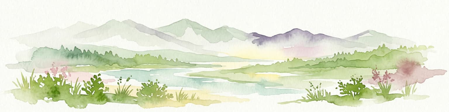
Watercolor illustration of a mountain landscape with a lake, grasses, and flowers
National parkIshikawa Prefecture
About 515 km away#13 closest

Northeast

Hakusan National Park: Sacred Mountain Protected Landscape in Ishikawa Prefecture

Mapped alpine terrain and volcanic geography for protected area discovery.

Hakusan National Park offers a unique exploration of Japan's sacred mountain heritage and alpine natural beauty. This protected landscape, centered on Mount Haku, features distinct volcanic terrain, crater lakes, and exceptional alpine flora. Users can explore the park's mapped boundaries, understand its place within Ishikawa Prefecture's geography, and appreciate its role as a significant UNESCO Biosphere Reserve for detailed atlas-based discovery.

Area
477 km²
Established
1962
IUCN
II
Relief
Mountain
An illustration showing a high-angle view over hilly green terrain, rocky outcrops, and multiple islands surrounded by sea water under a pastel sky.
National parkSouth Korea
About 519 km away#14 closest

Northwest

Hallyeohaesang National Park: South Korea National Park Geographic Atlas Entry

Explore mapped protected area boundaries and natural terrain.

As a designated national park in South Korea, Hallyeohaesang National Park offers a distinct geographic profile crucial for atlas exploration. This entry focuses on its protected landscape features, mapped territorial extent, and regional context within the Republic of Korea. Understand the park's specific geographical markers and its significance as a mapped protected area.

Area
545.63 km²
Established
1968
IUCN
II
Access
Access unknown
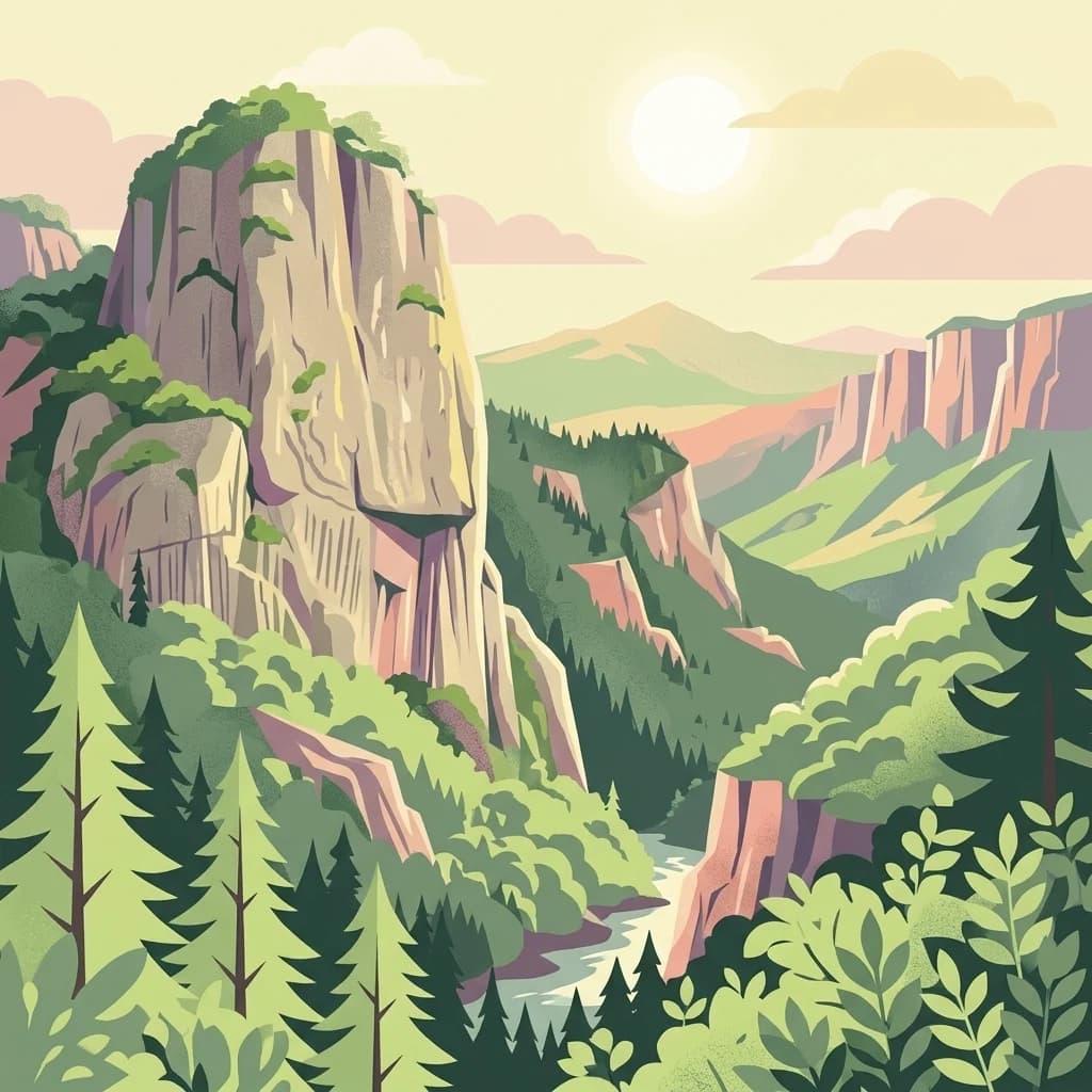
A stylized flat illustration of a deep canyon with towering vertical rock cliffs, lush evergreen forests, and a winding river under a soft sunlit sky.
National parkSouth Korea
About 531 km away#15 closest

Northwest

Juwangsan National Park: Protected Mountain Landscape and Regional Geography in South Korea

Mapped terrain, park boundaries, and natural landscapes.

Juwangsan National Park is a protected natural area situated within South Korea's Taebaek mountain range, renowned for its steep valleys, waterfalls, and dense forests. This park offers a rich landscape context, showcasing dramatic ridgelines and providing a significant example of South Korea's protected mountain terrain. Discover its geographic placement, mapped protected boundaries, and the unique natural and cultural elements that define this national park.

Area
107.42 km²
Established
1976
IUCN
II
Relief
Mountain
A digital illustration of craggy mountain peaks rising above a lush, green forest canopy under a pastel sunrise or sunset sky.
National parkSouth Gyeongsang Province
About 563 km away#16 closest

Northwest

Gayasan National Park: National Park Identity and Mapped Geographic Context in South Korea

Discover Protected Landscape and Regional Terrain

Gayasan National Park presents a distinct protected-area entity within South Gyeongsang Province, serving as a crucial point for atlas-driven geographic exploration. As a designated national park in South Korea, it offers insights into its specific mapped boundaries and the surrounding natural terrain. Understanding this park's role within the regional geography provides a foundational element for comprehending broader landscape patterns and protected land distribution across the country.

Area
167.6 km²
Established
1972
IUCN
II
Relief
Mountain
Watercolor painting of green and pink mountain ranges with forested foreground and distant peaks.
National parkChūbu region
About 563 km away#17 closest

Northeast

Minami Alps National Park

Discover its dramatic peaks and vital river headwaters.

Minami Alps National Park, in Chūbu region, Japan. Landscapes: mountains, forests, and rivers.

Area
357.52 km²
Established
1964
IUCN
II
Relief
Mountain
A colorful digital illustration featuring a large, snow-capped volcano in the distance, framed by forest-covered hills, with a wooden boardwalk curving through a golden field of grass in the foreground.
National parkJapan
About 572 km away#18 closest

Northeast

Fuji-Hakone-Izu National Park

Explore volcanic terrain, hot springs, islands, and Mount Fuji's iconic protected boundaries.

Fuji-Hakone-Izu National Park, in Japan. Landscapes: mountains, lakes, and rivers.

Area
1,227 km²
Established
1936
IUCN
II
Visitors
11.3M annual
A digital illustration of rocky cliffs and forested mountain slopes with soft, pastel-colored sunset sky in the background.
National parkSouth Korea
About 573 km away#19 closest

Northwest

Jirisan National Park

Explore the mapped terrain and protected area geography.

Jirisan National Park, in South Korea. Landscapes: mountains and forests.

Area
471.75 km²
Established
1967
IUCN
II
Visitors
1.5M annual
A stylized illustration of rolling mountain ridges at sunrise, featuring layered green hills with coniferous forests and distant, soft pink and purple mountain ranges under a warm, pale sky.
National parkJeollabuk-do
About 598 km away#20 closest

Northwest

Deogyusan National Park: National Park Identity and Geographic Mapping

Explore its protected land boundaries and regional landscape context.

Examine Deogyusan National Park, a designated national park situated in the Jeollabuk-do region of South Korea. This entry provides critical geographic context, focusing on the park's mapped boundaries and its role as a protected landscape. Users can gain a structured understanding of its natural terrain and regional significance, contributing to a broader atlas of protected areas.

Area
231.65 km²
Established
1975
IUCN
V
Visitors
1M annual
Distance methodology

Geographic measurements, not driving distances

How nearby park distances are calculated

Distances use park boundaries whenever the available geometry allows it. When one or both boundaries are missing, the mapped park locations provide a clearly labelled estimate. Every value represents straight-line geographic separation and does not use roads or routing.

Boundary distance

Calculated between the nearest points of both park boundaries.

Location-to-boundary estimate

Estimated from one mapped park location to the nearest boundary of the other park.

Mapped-location estimate

Estimated between the mapped locations of both parks.

MoriAtlas Explorer

Continue Exploring Ashizuri-Uwakai National Park's Geographic and Landscape Context

Deepen your understanding of Ashizuri-Uwakai National Park by examining its specific geographic setting and protected landscape features. This detailed exploration helps clarify its position within Japan's atlas of natural territories, offering insights into its mapped boundaries and the regional context that defines it as a national park.

Global natural geography