
Mori Atlas logo
Nearby park discovery

Explore the regional geography and distribution of neighboring protected landscapes

Parks near Bako National Park

Compare protected areas near Bako National Park, ordered by geographic distance. They include Santubong and KWNP.

Illustration showing coastal cliffs, dense green forest, turquoise water, and a sunset sky

Sarawak's oldest national park protecting Borneo coastlines, rainforests, and proboscis monkeys

Bako National Park

Bako National Park is the oldest national park in Sarawak, Malaysia, established in 1957 and protecting a compact but ecologically rich landscape at the tip of the Muara Tebas peninsula. The park covers approximately 27 square kilometers where the Bako and Kuching Rivers meet the South China Sea. Millions of years of sandstone erosion have carved a dramatic coastline of steep cliffs, rocky headlands, white sandy bays, sea arches, and distinctive seastacks, creating one of Borneo's most visually striking coastal landscapes. Despite being one of the smallest national parks in Sarawak, Bako contains remarkable biodiversity, featuring seven complete ecosystem types within its boundaries. The park is accessible only by boat from the village of Kampung Bako and remains a popular day-trip destination from Kuching, though it offers camping and bungalow accommodations for those wishing to stay longer.

Location
Malaysia
Park type
National park
Established
1957
Area
27.3 km²
Bako National Park Protected Area Atlas
Regional park map

See the ranked park cluster in its geographic setting

Nearby parks around Bako National Park

This regional map shows the same 20 nearby parks ranked below around Bako National Park. Select a ranked marker to highlight that park’s boundary where boundary data is available.
Reference park: Bako National ParkRanked nearby parkSelected boundary: Bako National Park20 nearby parks shown
20 nearby parks

Geographic proximity, directional vectors, and regional environmental comparison signals

Ranked Protected Areas and Parks Near Bako National Park

Geographic distance measurements rank surrounding protected areas by direct spatial separation from Bako National Park. Evaluating these neighboring locations highlights broader regional conservation patterns and distinct environmental gradients across the surrounding landscape.
A stylized flat illustration featuring a large, pointed, rainforest-covered mountain in the background, set behind a calm body of water with lush tropical trees and palms framing the foreground.
National parkSarawak
About 14 km away#1 closest

West

Santubong National Park: Sarawak's Protected Landscape for Geographic Atlas Exploration

Mapped park boundaries and regional terrain context in Borneo

Delve into Santubong National Park, a significant protected area situated within the diverse geography of Sarawak, Malaysia. This resource provides detailed information on the park's mapped boundaries, allowing for focused exploration of its specific terrain and its role within the regional protected landscape atlas. Understand the geographic identity of Santubong National Park and its contribution to Borneo's conservation mapping.

Area
14.1 km²
Established
2007
IUCN
II
Relief
Mountain
A stylized digital illustration of a coastal wetland landscape at sunrise, featuring winding waterways, dense mangrove forests, and pitcher plants in the foreground, with distant mountains meeting the sea.
National parkSarawak
About 21 km away#2 closest

West

Kuching Wetlands National Park: Sarawak's Protected National Park Landscape and Geography

Explore the mapped wetland boundaries and regional context.

Gain a structured understanding of Kuching Wetlands National Park, a key protected area in Sarawak, Malaysia. This detailed entry provides insights into its specific geographic identity, mapped park boundaries, and its significance as a national park within the Borneo region's extensive natural landscapes. Discover the atlas value of this protected wetland environment for comprehensive geographic exploration.

Area
84.95 km²
Established
1992
IUCN
II
Relief
Lowland
An illustration of a multi-tiered waterfall flowing over dark rocks, surrounded by a dense green rainforest at sunrise.
National parkSarawak
About 30 km away#3 closest

Southwest

Kubah National Park: National Park Status and Mapped Landscape in Sarawak

Explore its protected boundaries and geographic context within Borneo.

Kubah National Park is a protected national park located in Sarawak, Malaysia, representing a crucial element of the region's conservation landscape. This detailed entry focuses on its identity as a national park, its specific geographic placement within Sarawak, and its significance for map-based exploration. Users can investigate the mapped boundaries and understand how Kubah National Park fits into the larger atlas of protected areas in East Malaysia, providing a factual foundation for geographic discovery without travel advice.

Area
22.3 km²
Established
1989
IUCN
II
Visitors
45K annual
National parkSarawak
About 31 km away#4 closest

West

Talang Satang National Park: Protected Landscape and Sarawak Geography

Explore its mapped boundaries and regional context.

Delve into the protected landscape of Talang Satang National Park, a key national park situated in the dynamic geography of Sarawak, Malaysia. This entry provides essential context for understanding its specific protected boundaries and its contribution to the broader regional natural landscape. Discover its atlas-relevant details to enrich your understanding of Borneo's protected areas and their geographic distribution.

Area
194.14 km²
Established
1999
IUCN
II
Relief
Lowland
National parkMalaysia
About 66 km away#5 closest

East

Maludam National Park: Southeast Asian Protected Landscape and National Park Geography

Mapped boundaries and natural terrain in Malaysia.

Maludam National Park offers a focused exploration of protected landscape identity and geographic context within Malaysia. As a designated national park, it serves as a vital component for understanding the distribution of protected areas and their mapped terrain. This detailed entry allows for an appreciation of the park's specific environmental character and its contribution to the broader atlas of natural landscapes in Southeast Asia, facilitating structured discovery for researchers and explorers.

Area
432 km²
Established
2000
IUCN
II
Relief
Lowland
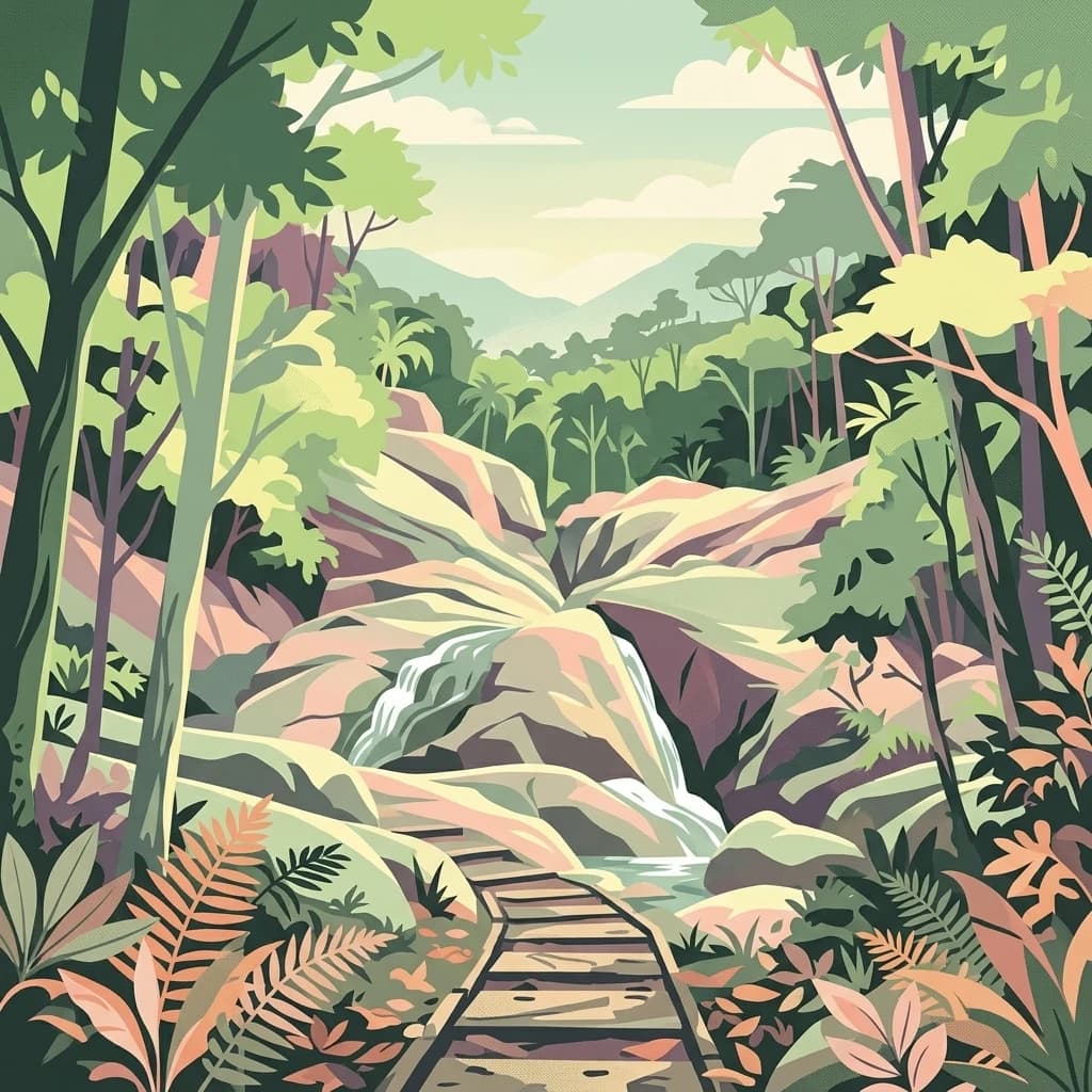
A vibrant digital illustration of a forest path leading toward a rocky waterfall surrounded by lush tropical vegetation.
National parkSarawak
About 66 km away#6 closest

West

Gunung Gading National Park: Sarawak's Protected Landscape and Geographic Context

Discover mapped terrain and protected area boundaries.

Gunung Gading National Park is an important national park located in Sarawak, Malaysia, offering critical insights into the region's geography and protected lands. This park serves as a key entity for exploring its specific mapped terrain and understanding its place within the diverse landscapes of Borneo. Examining Gunung Gading National Park aids in comprehending the distribution and character of protected areas in East Malaysia through a structured, atlas-oriented approach.

Area
43.6 km²
Established
1983
IUCN
II
Relief
Mountain
National parkSarawak
About 91 km away#7 closest

Northeast

Rajang Mangroves National Park: Borneo's Premier Mangrove Protected Landscape

Explore the mapped geography and wetland conservation of this Sarawak national park.

Rajang Mangroves National Park is a significant protected area dedicated to preserving the intricate mangrove swamp ecosystems of Sarawak's Rajang River delta. Encompassing a vast expanse of tidal channels and riverine forests, this national park serves as a critical habitat for unique wildlife and plays a vital role in coastal ecological health. Its landscape is defined by the dynamic interface between riverine and marine environments, offering a prime example of wetland conservation within Borneo's broader natural geography and atlas context.

Area
107 km²
Established
2000
IUCN
II
Relief
Lowland
National parkKuching Division
About 95 km away#8 closest

West

Tanjung Datu National Park: Protected Landscape and Regional Geography

Explore its mapped boundaries within Kuching Division.

Tanjung Datu National Park is a protected natural area offering insight into regional conservation and geographic patterns within Malaysia. This entry provides a detailed look at the park's identity as a national park, focusing on its mapped boundaries and its contribution to the broader landscape context of the Kuching Division. It is designed for users seeking structured information about protected areas and their geographical distribution.

Area
7.3 km²
Established
1994
IUCN
II
Climate
Tropical
A colorful digital illustration of a lake landscape in Batang Ai, featuring wooden longboats on the shore, lush tropical foliage, and rolling hills in the background.
National parkSri Aman Division
About 165 km away#9 closest

East

Batang Ai National Park: National Park Landscape and Geographic Discovery

Explore the protected terrain and mapped boundaries of Sri Aman Division.

Batang Ai National Park serves as a distinct national park entity, vital for understanding the protected landscape and regional geography of Malaysia's Sri Aman Division. This resource offers detailed insights into the park's geographic scope, its mapped boundaries, and the natural terrain it encompasses, enabling structured exploration for atlas enthusiasts and geography researchers.

Area
24 km²
Established
1991
IUCN
II
Relief
Lowland
Digital illustration of undulating, multi-layered hills and mountains in shades of green, yellow, and soft pink, with stylized trees in the foreground.
National parkWest Kalimantan
189 km away#10 closest

East

Betung Kerihun National Park: West Kalimantan's National Park Geography and Mapped Boundaries

Explore protected area landscape context in Indonesia.

Betung Kerihun National Park is a significant protected area within West Kalimantan, Indonesia, identified as a national park. This entry provides detailed atlas-style exploration of its mapped geographic boundaries and landscape context. Understand its place within the regional geography and the broader network of protected lands, offering a foundation for appreciating its natural setting.

Area
8,000 km²
Established
1995
IUCN
II
Relief
Mountain
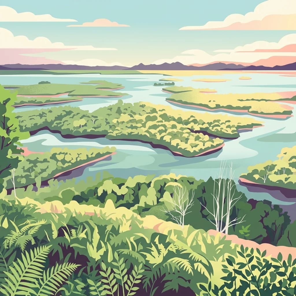
An illustration showing a wide view of winding waterways and green islands characteristic of a wetland or peat swamp environment under a soft, sunset sky.
National parkIndonesia
About 200 km away#11 closest

Southeast

Lake Sentarum National Park: Mapped Wetland Ecosystems and Protected Landscape in Indonesia

Explore the geographic context and protected area boundaries.

Lake Sentarum National Park represents a vital protected landscape within Indonesia, celebrated for its extensive lake ecosystems and wetland terrain. As a designated national park, it offers a rich area for geographic study, showcasing unique ecological features mapped within the Indonesian archipelago. Understanding its protected boundaries and the surrounding natural landscapes provides essential context for appreciating Indonesia's biodiversity and conservation efforts through an atlas-driven lens.

Area
1,320 km²
Established
1999
IUCN
VI
Relief
Lowland
Digital illustration of a dense forest with a valley, flowing river, and waterfall in the distance, rendered in a flat, pastel-colored artistic style.
National parkIndonesia
About 325 km away#12 closest

South

Mount Palung National Park: Indonesia's Protected Volcanic Mountain and Tropical Forest Landscape

Explore the mapped boundaries and regional geography of this Indonesian national park.

Mount Palung National Park is a designated national park in West Kalimantan, Indonesia, recognized for its prominent volcanic mountain and the surrounding tropical forest ecosystems. This protected area showcases Borneo's diverse biodiversity across its lowland and montane forest zones, making it a key component of the Indonesian protected landscape. Its atlas presence highlights the conservation value of its mapped natural terrain and its regional significance.

IUCN
II
Scope
Terrestrial
A digital illustration of a tropical coastline with a sandy beach, rocky cliffs, and lush coastal rainforest under a pale sky.
National parkBintulu Division
About 355 km away#13 closest

Northeast

Similajau National Park: A Protected Landscape within Bintulu Division's Geography

Explore mapped boundaries and regional natural landscape context.

Discover Similajau National Park, a designated national park in Malaysia’s Bintulu Division. This page focuses on the park's identity as a protected landscape, providing essential geographic context for atlas-based exploration. Users can learn about the park’s mapped boundaries and its role within the regional natural geography, offering a clear understanding of its significance as a conservation area.

Area
89.96 km²
Established
1976
IUCN
II
Relief
Upland
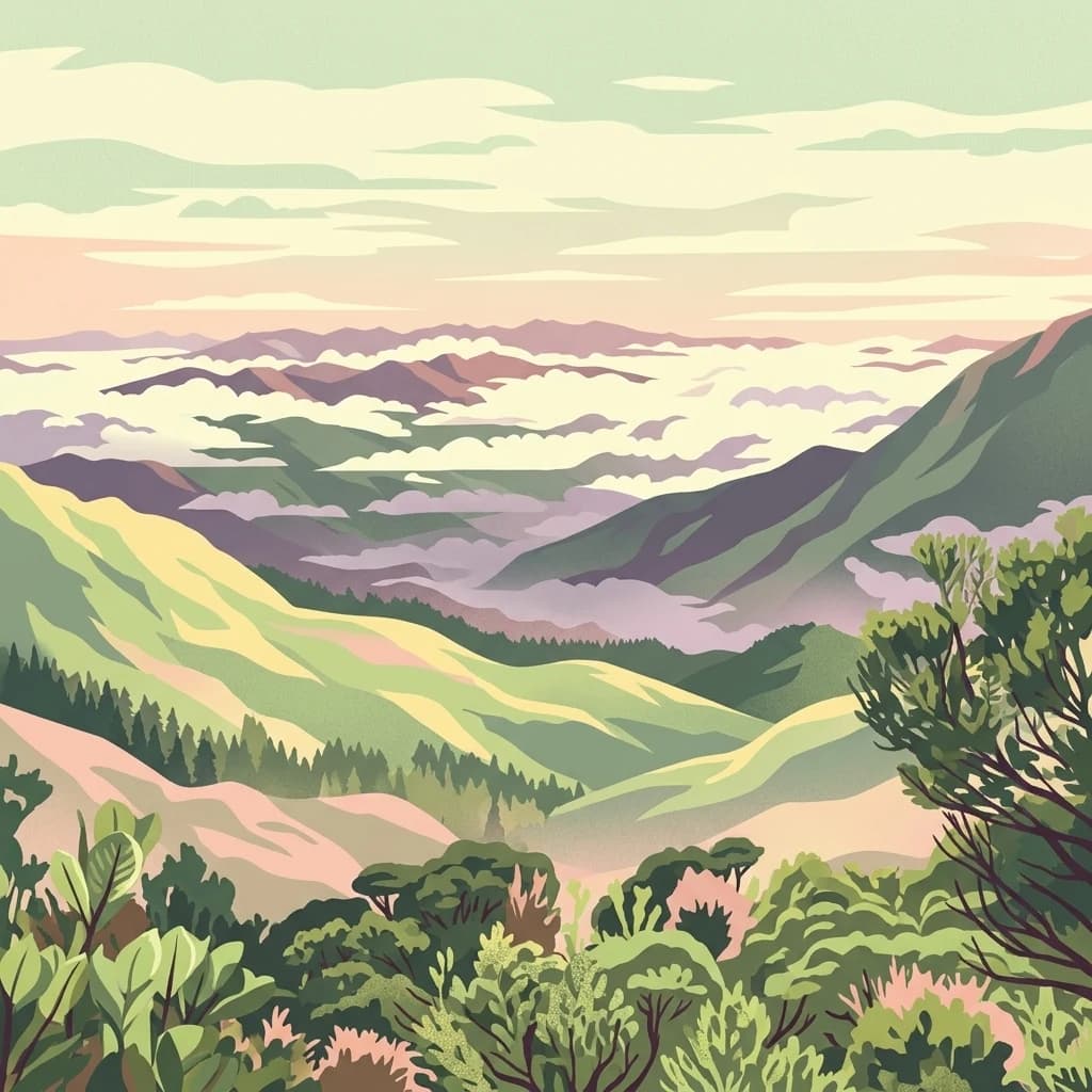
A stylized digital illustration of a mountainous valley with layered ridges, mist-filled basins, and dense foreground foliage in a pastel color palette.
National parkCentral Kalimantan
About 362 km away#14 closest

Southeast

Bukit Baka Bukit Raya National Park: Central Kalimantan's Protected Montane Rainforest Landscape

Explore the geographic core of Borneo's Schwaner mountain range.

Bukit Baka Bukit Raya National Park is a critical national park situated in Central Kalimantan, Indonesia, recognized for its extensive montane tropical rainforests and rugged topography. The park's landscape is dominated by the Schwaner mountain range, featuring prominent peaks like Bukit Raya, and functions as a vital watershed and biodiversity corridor. This protected area offers a rich subject for understanding regional geography, mapped landscapes, and the significance of Borneo's natural heritage within an atlas context.

Area
1,810 km²
Established
1992
IUCN
II
Relief
Mountain
National parkBintulu Division
About 379 km away#15 closest

Northeast

Bukit Tiban National Park: National Park Protected Area with Mapped Boundaries

Discover its geographic setting within Bintulu Division.

Bukit Tiban National Park stands as a significant protected natural area, offering a deep dive into its specific geography and mapped landscape. As a national park within Bintulu Division, it provides crucial atlas-level insight into regional protected lands. Explore the precise location and understand its context within Malaysia's network of natural conservation areas.

Area
96 km²
Established
2000
IUCN
II
Relief
Upland
Watercolor illustration of a landscape with green hills, trees, and a valley
National parkSarawak
About 429 km away#16 closest

Northeast

Niah National Park: Sarawak's Protected National Park Geography and Mapped Landscape

Explore protected area boundaries and regional context within Sarawak

Niah National Park represents a significant protected national park, offering a distinct geographic and landscape identity within Sarawak, Malaysia. This resource facilitates the exploration of its mapped boundaries and its place within the regional atlas of Borneo. Users can delve into the specific geography of this protected area, understanding its landscape characteristics and its contribution to the broader conservation mapping of the region.

Established
1974
Relief
Mountain
Access
Moderate access
Scope
Terrestrial
National parkSarawak
About 467 km away#17 closest

Northeast

Miri-Sibuti Coral Reefs National Park: Sarawak's Largest Offshore Protected Marine Atlas

Discover vibrant coral reefs and diverse underwater geography in this significant marine national park.

Miri-Sibuti Coral Reefs National Park represents a key protected marine area within Sarawak, Malaysia, renowned for its extensive coral reef systems and rich biodiversity. This offshore national park offers unparalleled opportunities for atlas exploration of its underwater landscapes, from shallow gardens to deeper reef walls. With notable dive sites and a thriving population of tropical fish and corals, it serves as a vital component of the region's mapped natural heritage and marine conservation efforts.

Area
1,721.11 km²
Established
2007
IUCN
II
Climate
Tropical
National parkSarawak
About 469 km away#18 closest

Northeast

Loagan Bunut National Park: Protected Landscape in Sarawak, Malaysia

Explore the mapped geography and natural terrain of this national park.

This page offers a detailed atlas-style exploration of Loagan Bunut National Park, situated in Sarawak, Malaysia. Understand the park's designation as a national park and its place within the mapped geography of Borneo. It provides essential context for appreciating the protected landscape and its regional significance.

Area
100 km²
Established
1990
IUCN
II
Scope
Terrestrial
National parkNorth Kalimantan
476 km away#19 closest

East

Kayan Mentarang National Park

Explore Borneo's critical protected area and its vast forest geography.

Kayan Mentarang National Park, in North Kalimantan, Indonesia. Landscapes: forests, mountains, and valleys.

Area
13,605 km²
Established
1996
IUCN
II
Scope
Mixed
A stylized digital illustration of a vertical waterfall cascading over rocky cliffs into a pool, surrounded by dense tropical foliage, ferns, and hanging vines.
National parkSarawak
About 477 km away#20 closest

Northeast

Lambir Hills National Park: Sarawak's National Park Landscape and Geographic Discovery

Explore the mapped terrain and protected boundaries within Sarawak.

Investigate Lambir Hills National Park, a protected national park in Sarawak, Malaysia. This page provides essential geographic context and details its protected landscape identity. Understand its role within the Borneo region's atlas, offering users a deep dive into its mapped terrain and specific regional geography. Discover a key piece of Malaysia's natural protected areas with focused atlas-style information.

Area
69.52 km²
Established
1975
IUCN
II
Relief
Lowland
Distance methodology

Geographic measurements, not driving distances

How nearby park distances are calculated

Distances use park boundaries whenever the available geometry allows it. When one or both boundaries are missing, the mapped park locations provide a clearly labelled estimate. Every value represents straight-line geographic separation and does not use roads or routing.

Boundary distance

Calculated between the nearest points of both park boundaries.

Location-to-boundary estimate

Estimated from one mapped park location to the nearest boundary of the other park.

Mapped-location estimate

Estimated between the mapped locations of both parks.

MoriAtlas Explorer

Bako National Park

Explore the map, landscapes, and protection details for Bako National Park.