
Mori Atlas logo
Nearby park discovery

Geographic landscape context and regional protected area boundaries

Parks near Bikin National Park

Compare protected areas near Bikin National Park, ordered by geographic distance. They include Bikin and Udege Legenda.

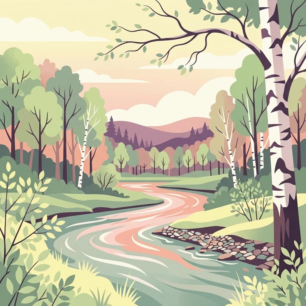
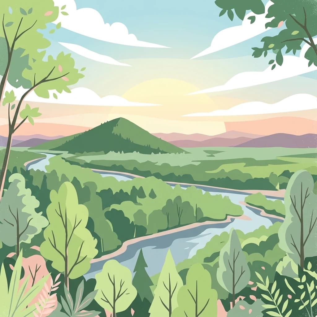
Illustration of a winding river flowing through a dense forest with a mountain in the background under a partly cloudy sky

Pristine old-growth forest sanctuary in the Russian Far East protecting 10% of the world's Amur tigers

Bikin National Park

Bikin National Park is a vast protected area in the Russian Far East, established in November 2015 to safeguard the largest remaining old-growth mixed forest in the Northern Hemisphere. Located in Primorsky Krai on the western slope of the Sikhote-Alin mountain range, the park encompasses over 1.16 million hectares of largely unbroken temperate rainforest. The park holds exceptional global significance as the habitat of approximately 10% of all wild Amur tigers, making it one of the most critical conservation areas for this endangered subspecies. The Bikin River flows westward through the heart of the park, connecting the Amur River basin with the maritime regions of the Russian Far East. The park's ecological importance extends far beyond its tiger population. It represents one of the most biodiverse temperate forest ecosystems in the world, supporting a remarkable array of flora and fauna within its pristine boundaries. The old-growth forests here have remained largely untouched by industrial development, providing a rare window into the natural dynamics of a healthy boreal and temperate forest ecosystem. The park also holds cultural significance as the ancestral homeland of the Udeghe and Nanai indigenous peoples, whose traditional forest-based lifestyle of fishing, hunting, and pine nut gathering continues within the region. In 2018, the Bikin River Valley was inscribed as a World Heritage Site through an extension of the existing Central Sikhote-Alin World Heritage property, recognizing its outstanding universal value as one of the last great wilderness areas in temperate Asia.

Location
Russia
Park type
National park
Established
2015
Area
11,600 km²
Highest point
1,932 m
Explore Bikin National Park Geography
Regional park map

See the ranked park cluster in its geographic setting

Nearby parks around Bikin National Park

This regional map shows the same 16 nearby parks ranked below around Bikin National Park. Select a ranked marker to highlight that park’s boundary where boundary data is available.
Reference park: Bikin National ParkRanked nearby parkSelected boundary: Bikin National Park16 nearby parks shown
16 nearby parks

Distance metrics and regional landscape comparisons surrounding Bikin National Park

Geographically Ranked Protected Areas Near Bikin National Park

Spatial proximity measurements establish a ranked sequence of nearby protected areas relative to Bikin National Park. Evaluating surrounding regional geography and recorded environmental profiles provides structured comparison signals for adjacent conservation lands.
Watercolor painting of a landscape featuring green forests, distant mountains, and a body of water in the foreground
National parkPrimorsky Krai
About 74 km away#1 closest

Southwest

Udegeyskaya Legenda National Park: National Park with Mapped Protected Boundaries

Explore Protected Landscape Geography in Primorsky Krai

Gain an atlas-level understanding of Udegeyskaya Legenda National Park, a designated national park situated in Russia's Primorsky Krai. This resource provides insights into the park's geographic setting and the extent of its protected landscape. It is designed for users interested in the mapped features and regional context of protected natural areas, offering a clear view of the park's role within its geographic domain.

Area
1,037 km²
Established
2007
IUCN
II
Relief
Mountain
Watercolor painting of a river flowing through green hills with pink flowering trees and distant mountains under a light sky
National parkKhabarovsk Krai
About 241 km away#2 closest

North

Anyuysky National Park: Geographic and Protected Landscape Discovery in Khabarovsk Krai

Ecological corridors from the Amur River to the Sikhote-Alin mountains.

Anyuysky National Park represents a critical, remote expanse in the Russian Far East. Its boundaries protect a continuous gradient of habitats, linking the flat wetlands of the Amur River floodplain with the forested slopes of the Sikhote-Alin highlands. The park serves as a key area for habitat preservation and environmental mapping.

Area
4,294 km²
Established
1999
IUCN
II
Relief
Mixed relief
A graphic illustration showing a prominent, craggy mountain peak with patches of snow under a soft sky, overlooking a layered green forest and rolling hills.
National parkHokkaido
About 305 km away#3 closest

East

Rishiri-Rebun-Sarobetsu National Park: Volcanic Islands and Coastal Wetlands of Northern Hokkaido

Explore its mapped geography and unique subarctic alpine flora.

Rishiri-Rebun-Sarobetsu National Park in Hokkaido, Japan, offers a unique exploration of dramatic volcanic islands and vital coastal wetland ecosystems. This protected area showcases striking geological formations, from the conical peaks of Rishiri and Rebun islands to the vast peat bogs of the Sarobetsu Plain. Its subarctic environment supports a rich tapestry of alpine flora, providing a distinct case study in protected landscape geography and mapping for the region.

Area
241.66 km²
Established
1974
IUCN
II
Visitors
730K annual
Watercolor painting of a valley landscape with a river, hills, trees, and a sky with sunrise colors
National parkPrimorsky Krai
About 339 km away#4 closest

South

Zov Tigra National Park: Geography and Protected Wilderness of the Sikhote-Alin Range

A rugged mountain landscape and critical conservation area in Primorsky Krai.

Zov Tigra National Park features a dramatic, forest-covered terrain within the southern Sikhote-Alin mountains. With peaks rising to 1,854 meters and deep river canyons, this protected area serves as a cornerstone for wildlife recovery and ecological monitoring in the region. Explore the topographical characteristics of this unique mountain habitat and its position in the broader Primorsky Krai geography.

Area
834 km²
Established
2007
IUCN
II
Relief
Mountain
Watercolor illustration of rolling green hills, scattered trees, and distant mountains under a pale sky.
National parkPrimorsky Krai
454 km away#5 closest

Southwest

Land of the Leopard National Park

Atlas exploration of Russia's critical Amur leopard habitat.

Land of the Leopard National Park, in Primorsky Krai, Russia. Landscapes: forests, woodlands, and hills.

Area
2,799 km²
Established
2012
IUCN
II
Relief
Mixed relief
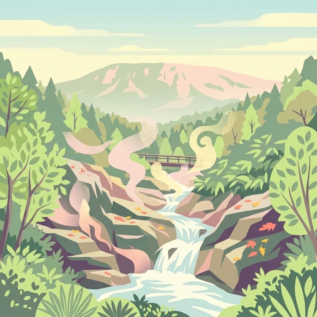
A stylized vector illustration of a steaming thermal stream flowing over rocky terrain, surrounded by lush forest and a mountain in the background.
National parkHokkaido
About 492 km away#6 closest

Southeast

Shikotsu-Tōya National Park: Hokkaido's Premier Volcanic National Park with Caldera Lakes

Explore mapped terrain, geothermal features, and active volcanoes.

Shikotsu-Tōya National Park, located in Hokkaido, Japan, is a prime example of a protected area defined by its intense volcanic geology. The park features prominent caldera lakes, including Lake Shikotsu and Lake Tōya, surrounded by active volcanic cones and dramatic geothermal landscapes. Its distinctive terrain makes it a key destination for understanding regional geography and the mapped protected areas of Japan's northern island, offering a unique glimpse into dynamic geological processes.

Area
994.73 km²
Established
1949
IUCN
II
Relief
Mountain
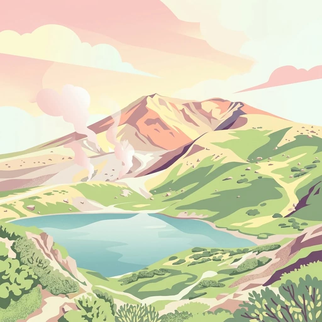
A stylized flat vector illustration of a volcanic mountain range in Daisetsuzan National Park featuring a central peak, steaming vents, a blue alpine lake in the foreground, and green hills under a soft pink and orange sky.
National parkJapan
500 km away#7 closest

Southeast

Daisetsuzan National Park

Explore Hokkaido's largest national park and its vast mountain terrain.

Daisetsuzan National Park, in Japan. Landscapes: mountains, volcanoes, and forests.

Area
2,267.64 km²
Established
1934
IUCN
II
Visitors
6M annual
National parkHeilongjiang
About 558 km away#8 closest

Southwest

Northeast China Tiger and Leopard National Park: Protected Natural Landscape and Geographic Context

Explore Heilongjiang's national park and mapped terrain.

This entry provides a detailed atlas view of Northeast China Tiger and Leopard National Park, a designated national park located in Heilongjiang. Understand its protected landscape, geographic positioning, and the regional natural terrain it encompasses. The focus is on its mapped boundaries and contribution to the broader protected-area geography, offering a factual basis for understanding its landscape context within China.

Area
14,612 km²
Established
2021
Relief
Mountain
Climate
Temperate
A digital illustration showing a calm, deep blue lake surrounded by mountains at sunrise, framed by lush foliage and a bare tree branch in the foreground.
National parkHokkaido
About 607 km away#9 closest

Southeast

Akan Mashu National Park

Mapped protected area boundaries and regional landscape context.

Akan Mashu National Park, in Hokkaido, Japan. Landscapes: mountains, forests, and lakes.

Area
914.13 km²
Established
1934
IUCN
V
Relief
Mountain
Abstract watercolor painting with soft green and light blue hues on white background
National parkHokkaido
About 616 km away#10 closest

Southeast

Hidakasanmyaku-Erimo-Tokachi National Park: Japan's Largest Protected Landscape Atlas

Volcanic peaks, coastal cliffs, and Hokkaido's expansive geography.

Hidakasanmyaku-Erimo-Tokachi National Park represents Japan's largest national park, offering a comprehensive exploration of its protected landscape. This vast area in Hokkaido combines the rugged topography of the Hidaka volcanic mountain range with the striking maritime environment of Cape Erimo. Users can explore detailed geographic contexts, understand the park's extensive boundaries, and appreciate its role as a crucial protected natural area at the intersection of alpine and coastal ecosystems.

Area
2,456.68 km²
Established
2024
IUCN
II
Relief
Mountain
A stylized vector illustration of a coastal mountain landscape featuring steep cliffs meeting the sea, green forested hills, a wooden fence in the foreground, and distant volcanic peaks at sunset.
National parkHokkaido
621 km away#11 closest

East

Shiretoko National Park: Hokkaido's Protected Natural Landscape and Geography

Explore mapped boundaries and regional park context.

Shiretoko National Park, designated as a national park in Hokkaido, Japan, serves as a vital point for understanding regional geography and protected landscape exploration. This entry offers a structured view of the park's geographic scope, focusing on its mapped boundaries and natural terrain. Discover how Shiretoko National Park contributes to the broader atlas of conservation lands in the Hokkaido region, providing context for its unique ecological and geographic significance.

Area
386.36 km²
Established
1964
IUCN
II
Relief
Mountain
Watercolor painting of a wetland landscape with reeds, trees, and distant hills
National parkHokkaido
About 644 km away#12 closest

Southeast

Kushiro-Shitsugen National Park

Explore the mapped terrain of eastern Hokkaido's vital peatlands.

Kushiro-Shitsugen National Park, in Hokkaido, Japan. Landscapes: wetlands, rivers, and lakes.

Area
268.61 km²
Established
1987
IUCN
II
Visitors
460K annual
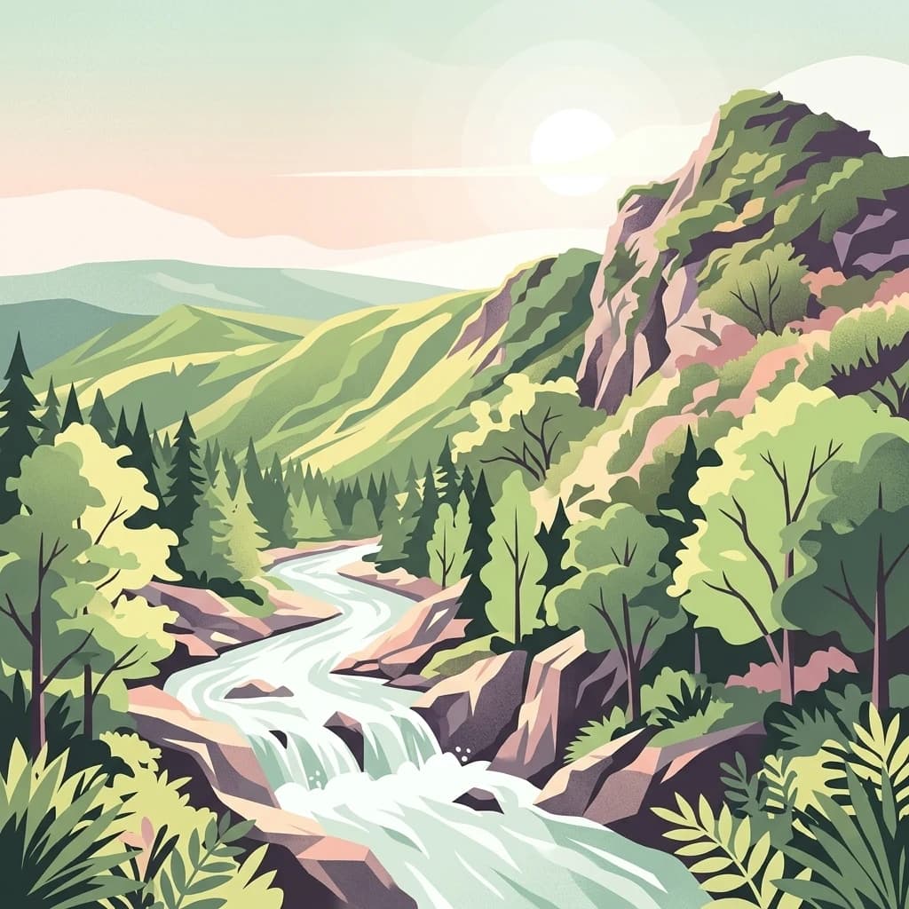
A digital illustration of a winding river flowing through a lush mountain valley with green trees, rocky banks, and a soft sunset in the background.
National parkJapan
About 667 km away#13 closest

Southeast

Towada-Hachimantai National Park: Mapping Japan's Volcanic and Alpine Protected Landscapes

Explore the geography of this northern Honshu national park.

Towada-Hachimantai National Park offers a unique atlas perspective on Japan's dynamic volcanic geology and alpine ecosystems. This national park protects a vast expanse of rugged terrain, featuring the iconic caldera of Lake Towada and the expansive volcanic plateaus of the Hachimantai region. Understanding its mapped boundaries reveals the distribution of its characteristic landscapes, from old-growth beech forests along river valleys to subalpine environments crowning volcanic peaks, providing a deep dive into its protected natural geography.

Area
855.34 km²
Established
1936
IUCN
II
Visitors
5.9M annual
National parkTōhoku
About 823 km away#14 closest

Southeast

Sanriku Fukkō National Park: National Park Protected Landscape and Regional Geography

Explore mapped boundaries and natural terrain in Tōhoku.

Sanriku Fukkō National Park serves as a pivotal protected area within the Tōhoku region, offering rich geographic detail for atlas exploration. This national park's identity is intrinsically linked to its mapped landscape and protected boundaries, providing valuable insights into northeastern Japan's natural terrain. Through its representation, users gain a structured understanding of the park's place within the regional geography, facilitating a deeper dive into protected land contexts.

Area
285.37 km²
Established
2013
IUCN
II
Relief
Lowland
A flat-style digital illustration of a winding river flowing through a forested valley with birch trees in the foreground and rolling hills in the background.
National parkKhabarovsk Krai
About 856 km away#15 closest

North

Shantar Islands National Park: Remote Archipelago Atlas with Rugged Terrain

Mapping protected marine and island geography in Khabarovsk Krai.

Shantar Islands National Park represents a significant protected landscape within Khabarovsk Krai, notable for its dramatic coastal geography, mountainous terrain, and rich marine ecosystems. This national park, encompassing a chain of islands in the Sea of Okhotsk, is a vital habitat for marine mammals and seabird colonies. Explore its mapped boundaries and unique regional atlas context, understanding its role as a protected coastal area in the Russian Far East.

Area
5,155 km²
Established
2013
IUCN
II
Relief
Mountain
National parkSouth Hamgyong Province
About 932 km away#16 closest

Southwest

Lake Pujŏn National Park: National Park Atlas Exploration and Protected Landscape Geography

View the mapped boundaries and regional natural landscape of this protected area.

Lake Pujŏn National Park offers a distinct opportunity for geographic discovery focused on protected natural landscapes. As a national park located in South Hamgyong Province, its mapped outlines and surrounding terrain provide valuable context for atlas exploration. Understand the unique protected-area identity of Lake Pujŏn National Park and its role within the broader regional geography through detailed, map-driven insights designed for structured exploration.

Area
26 km²
Relief
Mountain
Climate
Boreal
Scope
Mixed
Distance methodology

Geographic measurements, not driving distances

How nearby park distances are calculated

Distances use park boundaries whenever the available geometry allows it. When one or both boundaries are missing, the mapped park locations provide a clearly labelled estimate. Every value represents straight-line geographic separation and does not use roads or routing.

Boundary distance

Calculated between the nearest points of both park boundaries.

Location-to-boundary estimate

Estimated from one mapped park location to the nearest boundary of the other park.

Mapped-location estimate

Estimated between the mapped locations of both parks.

MoriAtlas Explorer

Bikin National Park

Explore the map, landscapes, and protection details for Bikin National Park.