Mori Atlas logo
Nearby park discovery

Map-based regional geography and proximity analysis for northwestern Tanzania landscapes.

Protected Areas and Surrounding Regional Landscapes Near Burigi-Chato National Park

Trace the spatial distribution of protected natural areas in the vicinity of Burigi-Chato National Park within the Lake Victoria basin. This geographic overview highlights neighboring wilderness regions and regional terrain characteristics to illustrate the broader conservation landscape of northwestern Tanzania. Visualize the connectivity of these protected lands through a focus on proximity and shared topographic features.

Related tags

Miombo woodlandLake BurigiShoebill storkWetland habitatSitatunga antelope

Tanzania's fourth-largest park protecting Miombo woodlands and Lake Victoria's third-largest lake

Burigi-Chato National Park

Burigi-Chato National Park is a vast protected area in northwestern Tanzania, spanning the districts of Karagwe, Biharamulo, Muleba, and Chato across the Kagera and Geita regions. Established as a national park in 2019, it covers approximately 4,707 square kilometers, making it Tanzania's fourth-largest national park. The park stretches from the eastern shores of Lake Victoria to the Rwandan border in the west, encompassing a largely uninhabited landscape of Miombo woodland, rolling savanna, and a network of lakes and wetlands. The park is named after Lake Burigi, the third-largest freshwater lake in Tanzania, which serves as a central geographic and ecological feature. The landscape is diverse, combining long ridgelines, rocky escarpments, forested valleys, open grasslands, and extensive flood plains. This variety of habitats supports a range of wildlife and provides critical ecological functions within the Lake Victoria basin. The region's relative youth as a protected area means it remains less visited than Tanzania's more established parks, offering a sense of remoteness and wilderness that distinguishes it from the country's well-touristed northern circuit.

Location
Tanzania
Park type
National park
Established
2019
Area
4,707 km²
Burigi-Chato National Park protected area
Regional park map

See the ranked park cluster in its geographic setting

Nearby parks around Burigi-Chato National Park

This regional map shows the same 17 nearby parks ranked below around Burigi-Chato National Park. Select a ranked marker to highlight that park’s boundary where boundary data is available.
Reference park: Burigi-Chato National ParkRanked nearby park17 nearby parks shown
17 nearby parks

Distance-ranked conservation landscapes and surrounding regional terrain patterns

Parks and Protected Areas Geographically Near Burigi-Chato National Park

Geographic proximity measurements establish a structured ranking of protected areas surrounding Burigi-Chato National Park based on direct boundary separation. Analyzing these regional park relationships reveals diverse ecological patterns across the broader conservation landscape without implying shared terrain or shared administrative status.
National parkGeita Region
About 77 km away#1 closest

East
Rubondo Island National Park: Tanzanian National Park Geography and Mapped Boundaries

Explore the protected landscape within Geita Region.

Delve into the protected landscape of Rubondo Island National Park, a designated national park situated in Tanzania's Geita Region. This page provides essential geographic context, detailing the park's mapped boundaries and its contribution to the regional atlas. Understanding Rubondo Island National Park involves exploring its specific terrain and its significance as a protected natural area within the broader landscape.

Area
456.8 km²
Established
1965
IUCN
II
Visitors
1.5K annual
National parkEastern Province
About 86 km away#2 closest

Northwest

Akagera National Park

Understand the mapped terrain and regional context of Akagera National Park.

Akagera National Park, in Rwanda.

Area
1,122 km²
Established
1934
Visitors
34K annual
Relief
Mixed relief
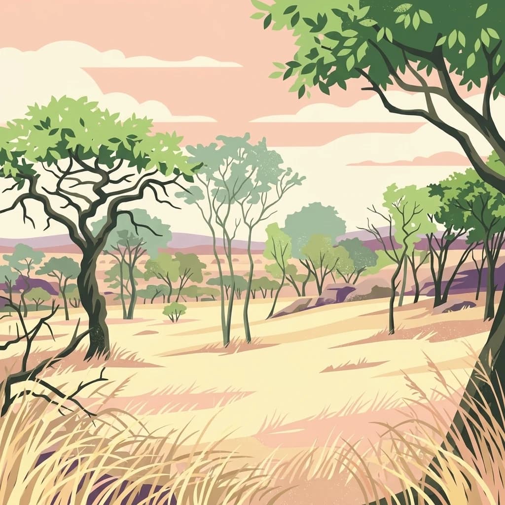
A stylized illustration of a dry savanna landscape with scattered acacia trees and tall grasses under a soft sunset sky.
National parkBurundi
About 99 km away#3 closest

Southwest

Ruvubu National Park: A National Park in Burundi Focused on Protected Landscape Geography

Explore the mapped boundaries and regional context of Ruvubu.

Investigate Ruvubu National Park, a protected natural area in Burundi, and understand its geographic significance. This page serves as a detailed atlas entry, highlighting the park's mapped extent and its contribution to the regional landscape of East Africa. Explore the protected-area context and geographical features that define Ruvubu National Park for discovery and analysis.

Area
508 km²
Established
1980
IUCN
II
Relief
Mixed relief
National parkKagera Region
About 131 km away#4 closest

North

Rumanyika-Karagwe National Park: Protected Landscape and Geographic Context in Kagera Region

Explore the mapped boundaries and regional setting of this national park.

Rumanyika-Karagwe National Park serves as a vital protected landscape within the Kagera Region of Tanzania. This entry facilitates a geographic discovery of the park, highlighting its mapped outlines and its role as a national park. Users can gain an understanding of its regional landscape context, providing a solid foundation for atlas-based exploration and appreciating the park's protected area status.

Area
247 km²
Established
2019
IUCN
II
Climate
Tropical
National parkKagera Region
About 141 km away#5 closest

Northwest

Ibanda-Kyerwa National Park: Tanzania's Tri-Border Protected Landscape and Geographic Atlas

Savanna, riparian habitats, and vital regional geography exploration.

Delve into Ibanda-Kyerwa National Park, a recently established national park in Tanzania's Kagera Region. This protected area is distinguished by its critical location at the tri-border with Uganda and Rwanda, with the Kagera River system defining its unique savanna and riparian landscapes. Understanding its mapped boundaries and ecological context provides essential insight into protected land discovery in northwestern Tanzania and its role within the wider regional atlas.

Area
200 km²
Established
2019
IUCN
II
Relief
Highland
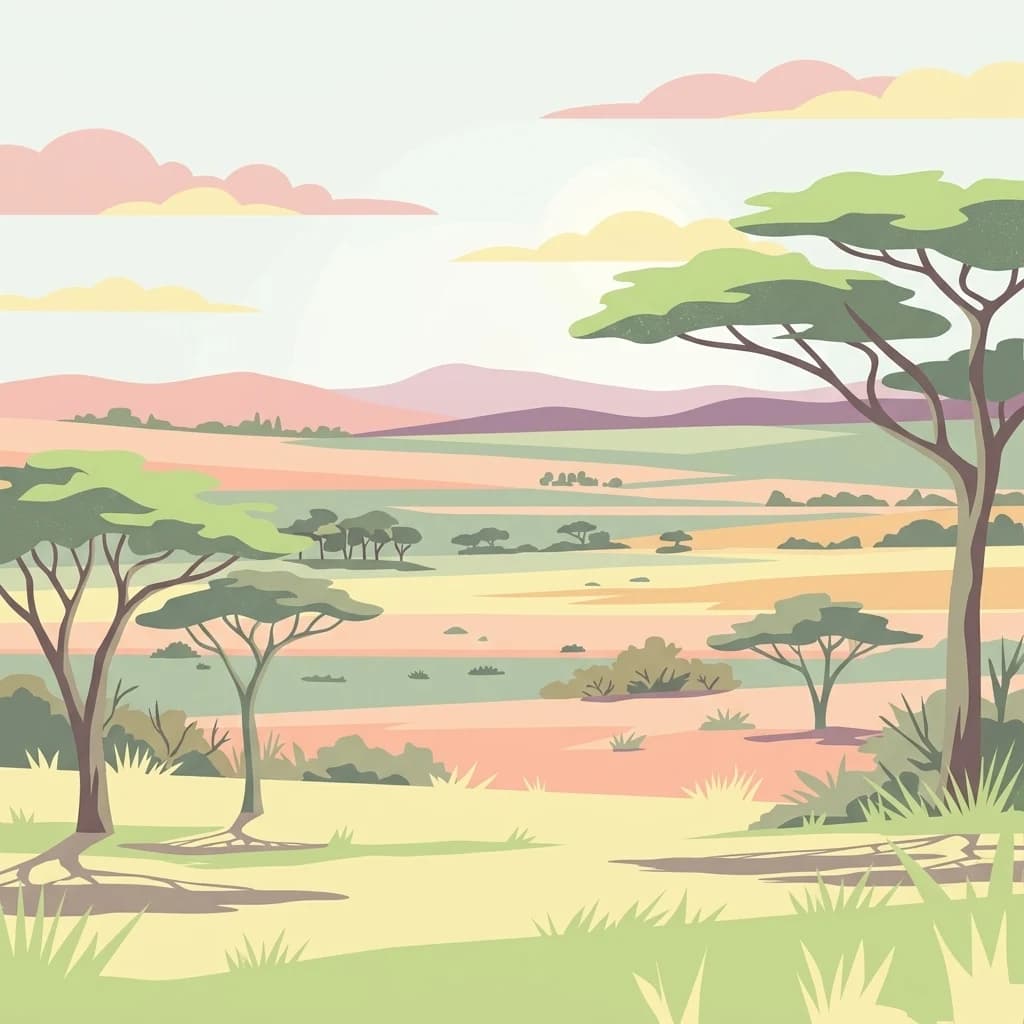
A flat-style digital illustration of an open savanna with scattered acacia trees, rolling hills in the background, and a soft, warm-toned sunrise sky.
National parkKiruhura District
About 187 km away#6 closest

North

Lake Mburo National Park: Uganda's National Park in Kiruhura District

Explore its mapped boundaries and regional geography.

Delve into the protected landscape of Lake Mburo National Park, situated in Uganda's Kiruhura District. This entry provides essential geographic context, mapping its boundaries and regional setting for users interested in detailed atlas exploration of protected areas and natural landscapes.

Area
260 km²
Established
1983
IUCN
II
Relief
Lowland
Nature reserveTanzania
About 189 km away#7 closest

South

Kigosi National Park Nature Reserve: Mapped Boundaries and Geographic Identity in Tanzania

Explore the protected landscape and regional context of this Tanzanian reserve.

Kigosi National Park in Tanzania is a designated nature reserve, offering a key point for exploring protected landscapes and their geographic placement. This entry details the park's identity as a conservation area, focusing on its mapped boundaries and how it fits within the regional geography of Tanzania. For users interested in atlas exploration, this provides essential context on the park's natural terrain and its standing as a protected natural area.

Area
8,265 km²
Established
2024
IUCN
II
Relief
Lowland
National parkMwanza Region
About 193 km away#8 closest

East

Saanane Island National Park: Tanzania National Park with Mapped Protected Landscape Identity

Discover its geographic context within Mwanza Region and atlas exploration value.

Saanane Island National Park represents a key protected area within the Mwanza Region of Tanzania. This detailed entry focuses on its identity as a national park, emphasizing its mapped boundaries and geographic presence. It's designed for users seeking a structured understanding of its landscape context and its place within a broader atlas of protected natural areas, offering factual, geography-focused discovery.

Area
2.8 km²
Established
2013
IUCN
II
Visitors
5.3K annual
An illustrative digital painting of a dense bamboo forest with a large, gnarled central tree and green bamboo stalks surrounding a forest clearing.
National parkKisoro District
About 200 km away#9 closest

Northwest

Mgahinga Gorilla National Park: A Geographic Study of Virunga Mountain Landscapes

Exploring protected boundaries and volcanic terrain in Kisoro District.

Mgahinga Gorilla National Park covers an essential range of montane forest and alpine zones across three dormant volcanoes in the Kisoro District of Uganda. This protected area functions as a key element of the broader Virunga mountain ecosystem, providing specialized habitats for endangered primate populations and endemic bird species. The dramatic vertical relief from bamboo forests to summit peaks defines this critical segment of the Albertine Rift conservation network.

Area
33.9 km²
Established
1991
IUCN
II
Relief
Mountain
A digital illustration of a mountainous landscape viewed through thick tropical foliage, showing a central volcanic-style peak framed by trees.
National parkKanungu District
About 201 km away#10 closest

Northwest

Bwindi Impenetrable National Park

Explore its protected landscape and regional context.

Bwindi Impenetrable National Park, in Kanungu District, Uganda. Landscapes: mountains, valleys, and forests.

Area
331 km²
Established
1991
IUCN
II
Relief
Mountain
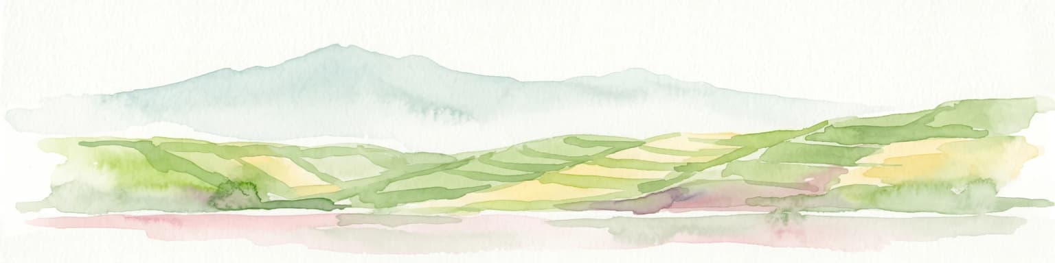
Watercolor illustration of rolling hills, mountains, and a river or lake
National parkDemocratic Republic of the Congo
About 203 km away#11 closest

Northwest

Virunga National Park: Democratic Republic of the Congo's Premier Protected Landscape

Mapped boundaries and diverse Albertine Rift endemic geography.

Virunga National Park represents a pivotal protected area within the Democratic Republic of the Congo, characterized by an exceptional range of geographic features and vital ecosystems. Its protected landscape includes active volcanoes like Nyiragongo with its lava lake, the towering Rwenzori Mountains, and diverse lowland savannas. This atlas-focused entry highlights the park's unique position in the Albertine Rift, crucial for numerous endemic species and offering significant insight into regional geography and protected land context.

Area
7,800 km²
Established
1925
IUCN
II
Relief
Mountain
A digital illustration showing a lush landscape of rolling green hills, dense patches of trees, and distant ridgelines under a soft, warm-toned sky.
National parkWestern Province
About 204 km away#12 closest

West

Gishwati Forest National Park: Discover Rwanda's Protected Landscape Geography

Mapped protected area boundaries and regional natural landscape.

Gishwati Forest National Park offers a focused exploration of a significant protected natural landscape in Rwanda's Western Province. This resource provides detailed geographic context, highlighting the park's mapped boundaries and its role within the country's conservation areas. Understand its terrain and regional landscape importance through an atlas-centric view.

Area
32.02 km²
Established
2015
IUCN
IV
Relief
Mountain
A flat-style digital illustration of a serene mountain landscape with rolling grassy meadows, patches of forest, and distant hills under a soft pastel sky.
National parkRwanda
About 204 km away#13 closest

West

Gishwati-Mukura National Park: Rwanda's Protected Montane Forest Landscape in the Albertine Rift

Explore its mapped boundaries and regional geography.

Gishwati-Mukura National Park, located in western Rwanda, is a vital protected area renowned for its montane forest ecosystems. This national park occupies mountainous terrain characteristic of the Albertine Rift, contributing significantly to watershed protection and regional biodiversity. Users can explore its specific geographic context, mapped landscape features, and its role within Rwanda's broader conservation atlas.

Area
32.02 km²
Established
2015
IUCN
II
Relief
Highland
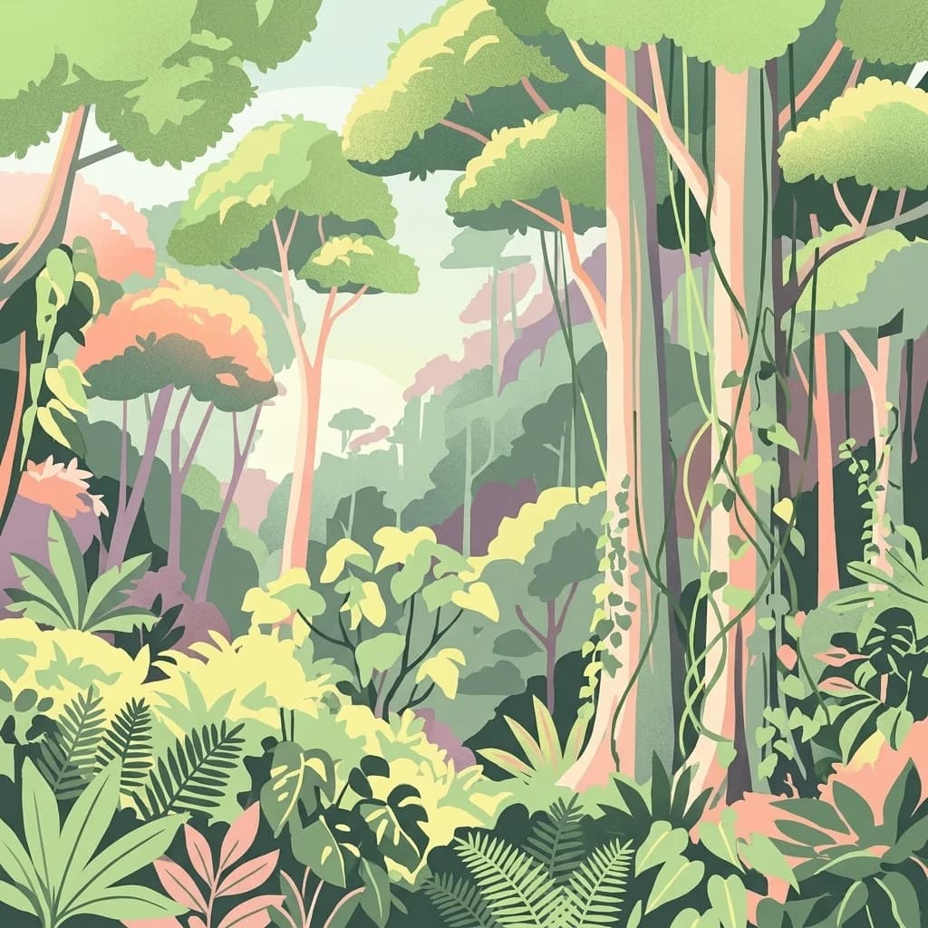
A colorful digital illustration of a dense, multi-layered rainforest with tall trees, hanging vines, and various ferns and tropical plants.
National parkBurundi
About 204 km away#14 closest

West

Kibira National Park: Burundi's Protected National Park Landscape and Geography

Mapped protected area within the Great Rift Valley region.

Kibira National Park represents a vital protected national park entity within Burundi's diverse geography. As part of the Great Rift Valley's expanse, its mapped boundaries and landscape identity offer a focal point for understanding regional protected areas. This park's presence in Burundi contributes essential data to a structured atlas of natural landscapes and conservation lands across East Africa.

Area
400 km²
IUCN
II
Relief
Mountain
Climate
Tropical
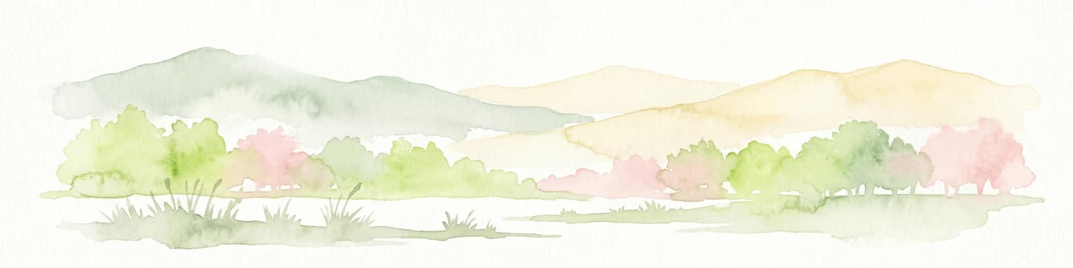
Watercolor painting showing green and pink trees, hills in background, and grass in foreground
National parkRwanda
About 209 km away#15 closest

Northwest

Volcanoes National Park: Rwanda's Protected Volcanic Landscape and Regional Geography

Mapped park boundaries and East African geographic context.

Delve into Volcanoes National Park, a crucial protected area within Rwanda's northwest. This page offers detailed insight into its geography, highlighting the volcanic terrain and mapped boundaries that define this important national park. Understand its placement within the Virunga Mountains and its contribution to the natural landscape of East Africa, providing a foundation for atlas-based exploration of protected lands.

Area
160 km²
Established
1925
IUCN
II
Relief
Mountain
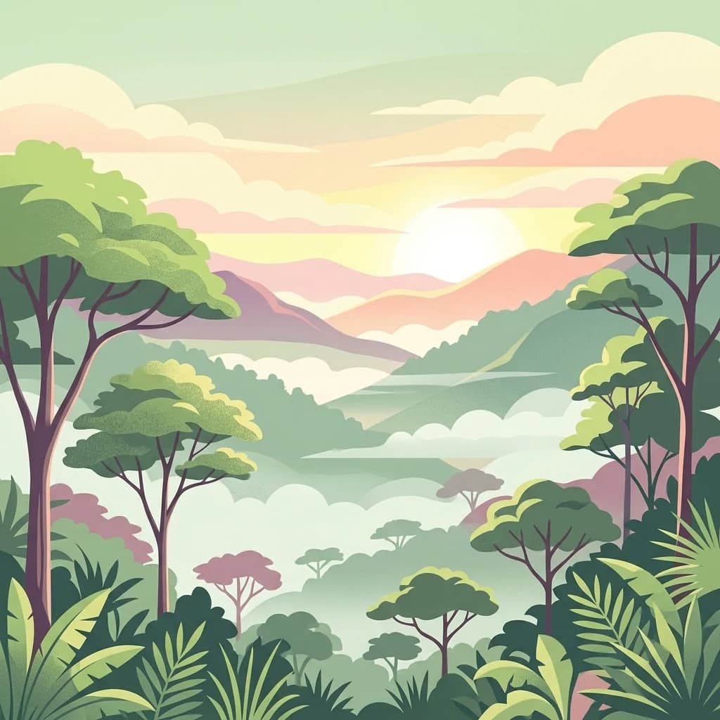
A stylized, flat-design illustration of a lush mountain forest scene at sunrise, featuring layered rolling hills, dense tropical vegetation, and mist filling the valley under a pale sky.
National parkRwanda
About 210 km away#16 closest

West

Nyungwe National Park: Rwanda's Protected National Park for Geographic Discovery

Explore its mapped natural landscape and protected terrain.

Nyungwe National Park represents a vital protected area within Rwanda, contributing a unique landscape to the nation's geographic atlas. This national park offers a specific focus for understanding protected lands, their mapped boundaries, and the natural terrain they encompass. By examining Nyungwe National Park, users gain insight into Rwanda's regional geography and the significance of its conservation efforts within the broader context of East African natural landscapes.

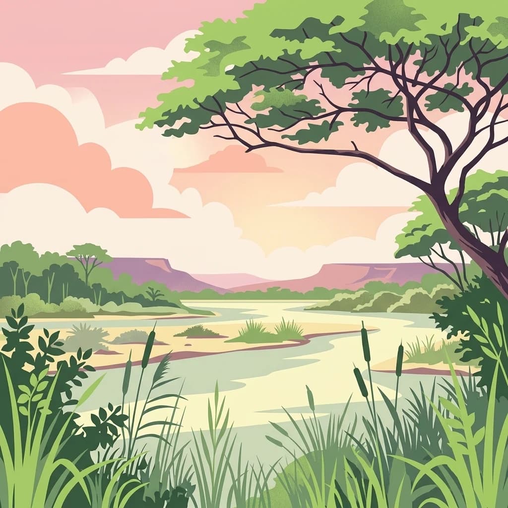
A stylized flat illustration of a river winding through a grassy landscape with a large tree in the foreground, cattails along the banks, and low mountains in the distance under a sunset sky.
National parkBurundi
About 239 km away#17 closest

Southwest

Rusizi National Park: National Park in Burundi's Geographic Landscape Context

Explore mapped protected area boundaries and regional geography.

Rusizi National Park stands as a significant protected area within Burundi, contributing to the nation's conservation atlas. This national park offers a distinct geographic profile, showcasing its specific landscape and terrain features within the East African context. Users can delve into the mapped boundaries of Rusizi National Park to understand its protected status and its role in the regional geography, facilitating detailed geographic discovery.

Area
90 km²
Established
1980
IUCN
II
Climate
Tropical
Distance methodology

Geographic measurements, not driving distances

How nearby park distances are calculated

Distances use park boundaries whenever the available geometry allows it. When one or both boundaries are missing, the mapped park locations provide a clearly labelled estimate. Every value represents straight-line geographic separation and does not use roads or routing.

Boundary distance

Calculated between the nearest points of both park boundaries.

Location-to-boundary estimate

Estimated from one mapped park location to the nearest boundary of the other park.

Mapped-location estimate

Estimated between the mapped locations of both parks.

MoriAtlas Explorer

Continue Exploring Burigi-Chato National Park's Protected Landscape Geography

To further your understanding of Burigi-Chato National Park, examine its specific geographic context and mapped protected area. This deep dive into its landscape and regional positioning within Tanzania offers valuable insights for anyone interested in the structured exploration of conservation lands and national parks. Discover the geographic details that define this protected territory and its place within the broader East African atlas.