Southeast
Garajonay National Park
Explore Spain's unique protected area with rich geographic context.
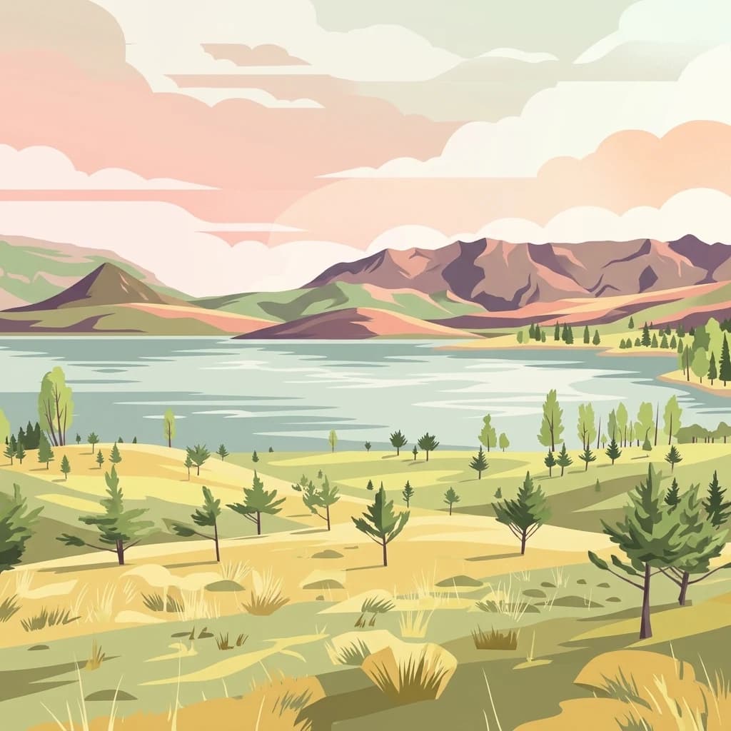
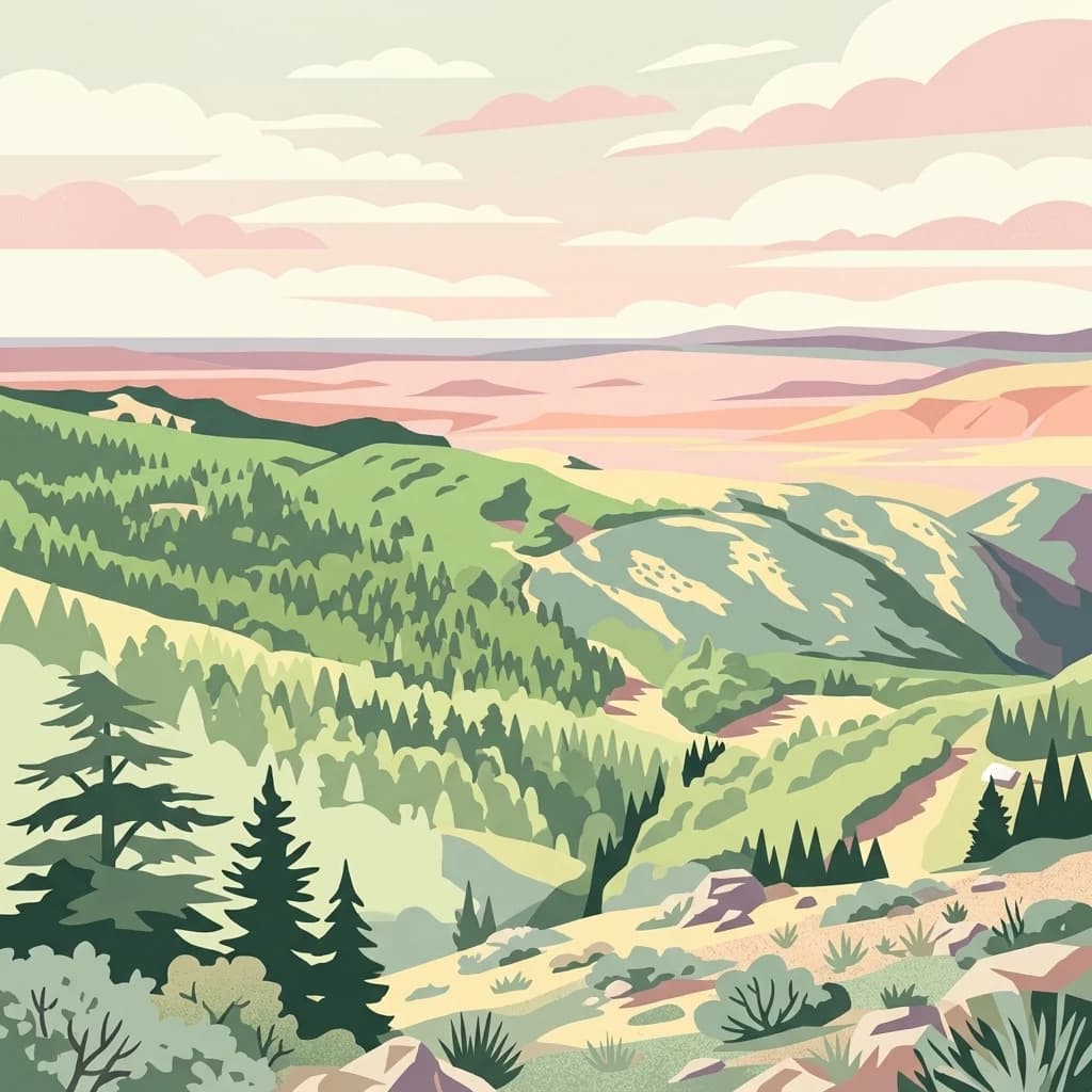
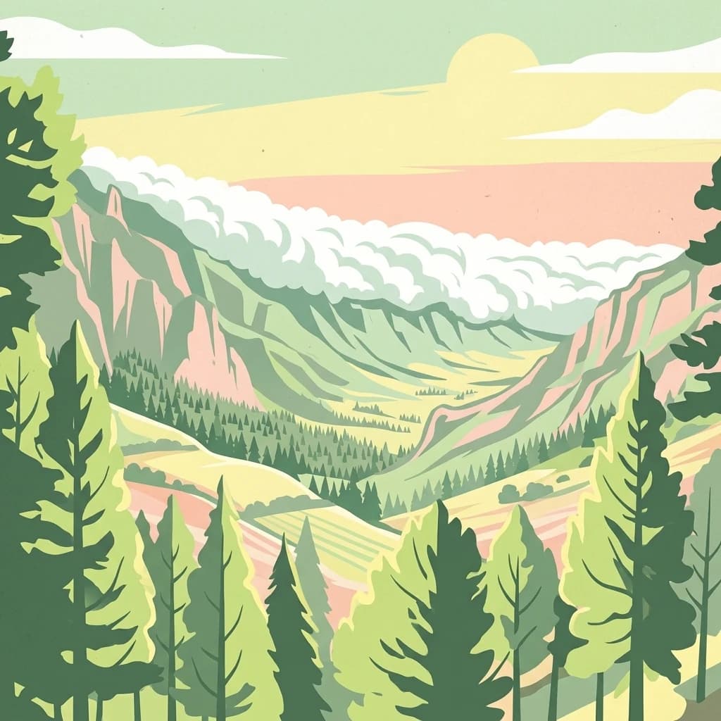
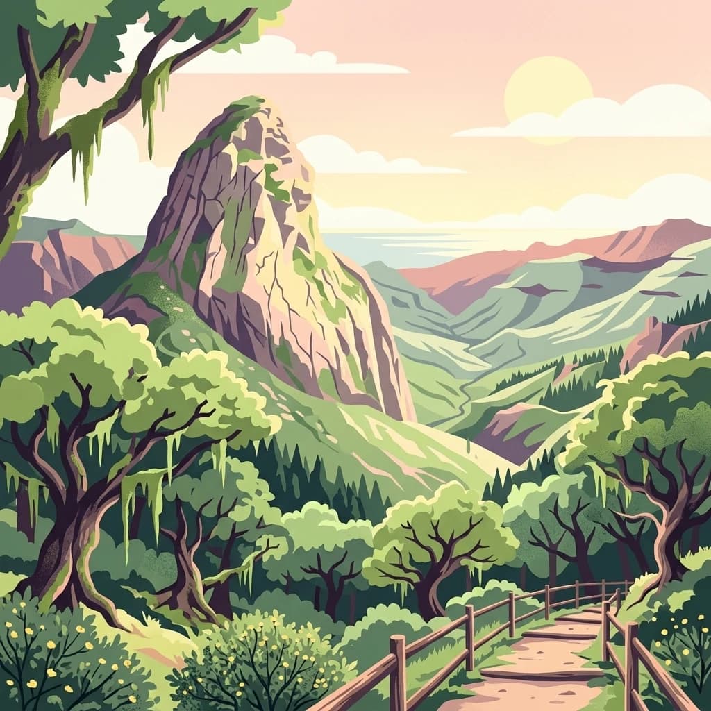
Garajonay National Park, in Spain. Landscapes: forests, plateaus, and volcanoes.
- Area
- 40 km²
- Established
- 1981
- IUCN
- II
- Visitors
- 450K annual
Trace the geographic distribution of surrounding protected landscapes and natural terrain.
Compare protected areas near Caldera de Taburiente National Park, ordered by geographic distance. They include Garajonay and Teno.

Volcanic caldera wilderness on La Palma
Caldera de Taburiente National Park is a protected area on the island of La Palma in the Canary Islands, Spain. The park centers on the Caldera de Taburiente, a massive volcanic depression approximately 10 kilometers across that dominates the northern part of the island. The caldera's steep walls rise as much as 2,000 meters above the floor, creating a dramatic landscape of towering cliffs, deep ravines, and pine-covered slopes. Established in 1954, it was the second national park in the Canary Islands and remains one of Spain's most geologically significant protected areas. The park is also notable for hosting the Roque de los Muchachos Observatory, one of the world's premier astronomical observation sites, located on the caldera's northern rim at 2,426 meters elevation.
See the ranked park cluster in its geographic setting
Distance-ranked collection and regional park geography for comparative environmental analysis

Southeast
Explore Spain's unique protected area with rich geographic context.
Garajonay National Park, in Spain. Landscapes: forests, plateaus, and volcanoes.

Southeast
Coastal cliffs, volcanic barrancos, and laurel forest ecosystems.
Parque rural de Teno serves as a primary geographic anchor for northwest Tenerife, encompassing a triangular volcanic block defined by vertical sea cliffs and steep, eroded ravines. This protected landscape preserves unique biodiversity and traditional cultural architecture, offering a comprehensive look at the island's geological and ecological variety from the shoreline to the mist-prone summits.

East
Explore protected volcanic terrain and mapped geography on Tenerife.
Teide National Park protects the highest point in Spain, Mount Teide, within a spectacular caldera and surrounding volcanic terrain on Tenerife. This national park offers a unique landscape for geographic discovery, showcasing dramatic lava flows, volcanic cones, and endemic flora. Its protected boundaries define a significant area of natural interest, making it a key landmark for atlas exploration of island geography and protected lands.

East
A detailed geographic overview of the Anaga massif protected landscape.
Parque rural de Anaga preserves a dramatic landscape of volcanic plugs, deeply incised valleys, and endemic-rich cloud forests in the Canary Islands. Understand the complex terrain and protected area boundaries that define this historic massif, from its coastal cliffs to its high mountain ridges.

East
Exploring laurel forest strongholds and rugged ravine geography.
Parque rural de Doramas encompasses over 3,500 hectares of diverse northern Gran Canaria terrain, where steep-sided barrancos support rare laurisilva and monteverde vegetation. This protected landscape serves as a living remnant of the island's once-vast indigenous forests, offering a unique opportunity to study the relationship between human-influenced agricultural slopes and wild, humid forest refuges found deep within the island's northern flanks.

East
Mapping the dramatic erosional landscapes and endemic ecosystems of central Gran Canaria.
Spanning the core of Gran Canaria, Parque rural del Nublo is a vast protected landscape characterized by its rugged volcanic topography. The area features the iconic Roque Nublo monolith, deeply incised barrancos, and a mosaic of pine forests and endemic scrubland. This territory represents a critical intersection of geological evolution and aboriginal history, containing major UNESCO-listed cultural sites within its complex highland boundaries.

East
A rugged volcanic and geological interior landscape
Investigate the topographical intensity of Parque rural de Betancuria, home to the Betancuria Massif and unique Basal Complex exposures. This protected landscape documents a long history of geological transformation and traditional human adaptation to the arid Fuerteventura environment.

East
Explore Spain's unique geological national park.
Timanfaya National Park offers an extraordinary exploration of volcanic terrain, a protected area that defines geological conservation in the Canary Islands. Its landscape, shaped by powerful eruptions, features vast lava fields, striking volcanic cones, and visible geothermal activity. As Spain's only purely geological national park, Timanfaya provides a unique context for understanding volcanic processes and appreciating the raw beauty of its protected natural environment, serving as a key landmark within the archipelago's geography.

East
Explore the geographic context and landscape of this protected area.
Gulf of Khnifiss National Park is a designated national park offering vital insights into Western Sahara's protected landscapes. Its mapped boundaries and regional geography are crucial for understanding the park's ecological and cartographic significance within the atlas. Discover the essential characteristics that define this protected area's unique place in the natural terrain.

East
Explore its mapped protected area and regional geography.
Khenifiss National Park offers a distinct entry into protected landscape exploration within the Laâyoune-Sakia El Hamra region. This park detail page provides core geographic context, focusing on its mapped boundaries and its significance as a protected natural area. Dive into the structured data that defines Khenifiss National Park, facilitating a deeper atlas-based understanding of its landscape and regional distribution.

East
Explore vital protected areas and mapped natural terrain on the Atlantic coast.
Souss-Massa National Park is a critical national park situated along the Atlantic coast of Morocco. This protected landscape offers a unique atlas-style view of its diverse geography, including vital wetlands, sand dunes, and coastal steppe. Delve into the mapped boundaries and understand the park's ecological significance within Morocco's regional landscape context.

South
Explore the geographic identity and protected landscape.
Banc d'Arguin National Park, in Mauritania. Landscapes: dunes, wetlands, and coasts.

East
Mapped boundaries and regional landscape context within Morocco.
Toubkal National Park stands as a significant protected area within Morocco, offering a lens through which to explore its diverse natural geography and protected landscapes. This national park designation signifies its importance for understanding the country's conservation efforts and its mapped territorial integrity. Users can discover the park's unique geographic attributes and its role within the larger atlas of Moroccan protected lands, providing foundational context for further geographic discovery.
East
Mapped protected landscapes and regional terrain context
Explore the core protected landscape identity of Iriqui National Park, a designated national park situated within Morocco. This page facilitates a deeper understanding of its mapped boundaries, its place within the nation's geographic framework, and the specific natural terrain it encompasses. Users seeking atlas-driven insights into protected areas will find detailed context for this significant Moroccan natural landmark.

Northeast
Explore its mapped boundaries and regional geographic context.
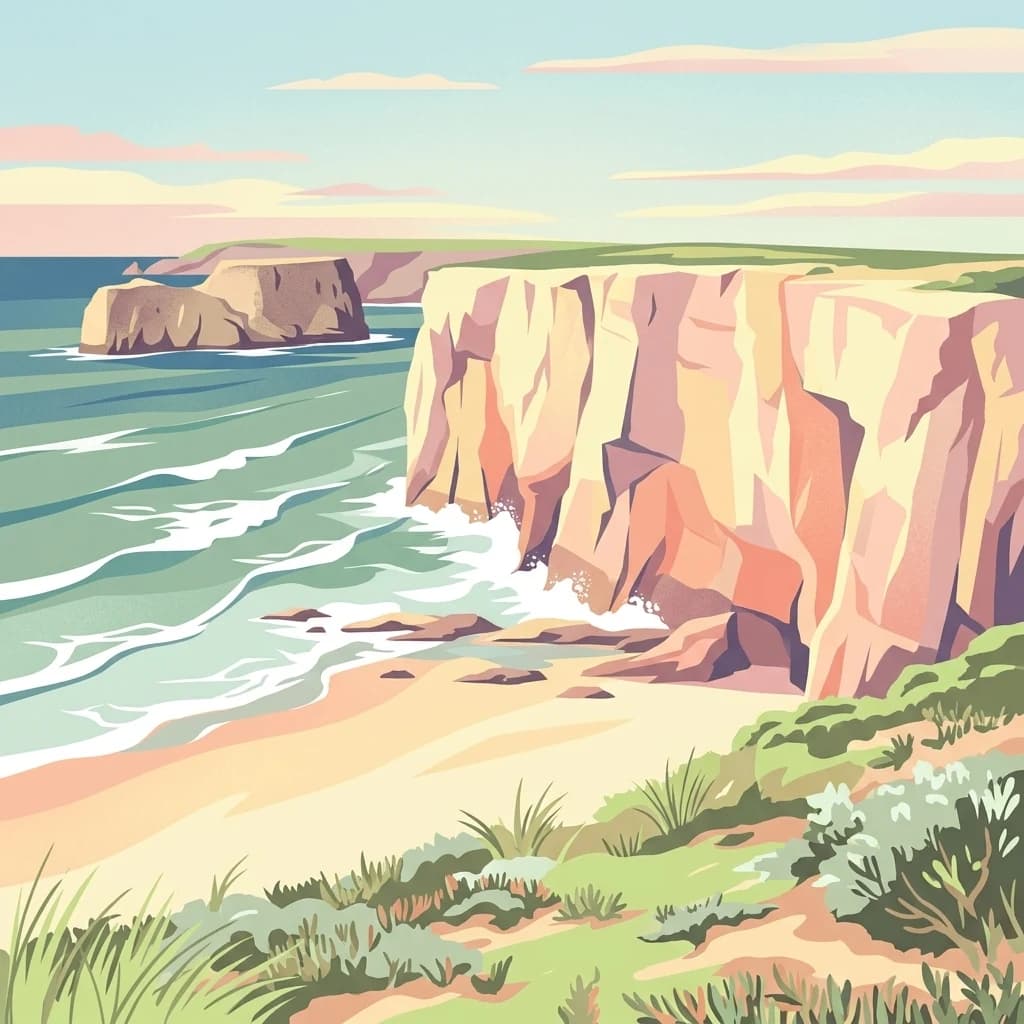
This detail page offers a deep dive into the Southwest Alentejo and Vicentine Coast Natural Park, a protected landscape situated in Portugal's Alentejo Litoral region. Understand the park's identity as a protected area through its geographic features and mapped extent. MoriAtlas facilitates a structured understanding of this natural landscape, enabling focused discovery of its protected boundaries and regional geographical significance.

East
Explore its mapped geography and regional atlas context.
Delve into the specifics of Haut Atlas Oriental National Park, a designated national park in Morocco. This page serves as a detailed atlas entry, focusing on the park's protected landscape characteristics, its defined geographic boundaries, and its significance within the national park system. Understand the terrain and regional context that shape this important natural area for focused discovery.

Northeast
Geographic context and protected area mapping for Morocco.
Explore the atlas perspective of Khenifra National Park, a designated national park in Morocco. This page provides detailed geographic context, focusing on its mapped protected landscape and its role within the country's network of conservation areas. Understand the park's terrain and regional setting through structured geographic data.
Northeast
Explore the protected landscape and regional context of Merja Zerga.
Merja Zerga is a designated protected area situated on Morocco's Atlantic coast, characterized by its important wetland ecosystems. This entry facilitates detailed atlas exploration, providing users with mapped geographic data and insights into the park's protected boundaries. Understanding Merja Zerga offers valuable context for the distribution of protected lands and natural landscapes within the broader North African region.

Northeast
Explore mapped protected landscapes and regional geographic context.
Examine Ria Formosa Natural Park, a protected landscape that defines a significant portion of the Algarve's natural heritage. This atlas-focused exploration details the park's geographic features, its protected status, and its position within the wider regional geography. Understand the mapped extent of this protected landscape and its contribution to the natural context of southern Portugal.

Northeast
National park boundaries and mapped terrain.
Investigate Ifrane National Park, a designated national park in Morocco, and its contribution to the country's protected lands. This profile details its geographic location, providing context for its mapped presence and the natural landscapes it encompasses. Delve into the atlas-relevant features that define this protected area, focusing on its geographic identity within Morocco's natural heritage.
Geographic measurements, not driving distances
Calculated between the nearest points of both park boundaries.
Estimated from one mapped park location to the nearest boundary of the other park.
Estimated between the mapped locations of both parks.
Explore the map, landscapes, and protection details for Caldera de Taburiente National Park.