Mori Atlas logo
Nearby park discovery

Mapping the distribution of nearby conservation lands and regional woodland landscapes.

Protected Areas and Park Geography Near Gamilaroi Nature Reserve in New South Wales

Explore the regional geography of protected lands surrounding Gamilaroi Nature Reserve in the North West Slopes of New South Wales. This collection visualizes the distribution of nearby conservation areas and woodland habitats, providing geographic context for the surrounding terrain within the Brigalow Belt bioregion.

Related tags

nature reservebotanical conservationooline habitatBrigalow Beltinland New South Wales

A small New South Wales reserve dedicated to protecting the rare ooline tree.

Gamilaroi Nature Reserve

Gamilaroi Nature Reserve is a small protected nature reserve in the North West Slopes region of New South Wales, in eastern Australia. It lies within the southern portion of the Brigalow Belt, a broader bioregion characterized by a mosaic of woodland and drier inland vegetation communities. The reserve is situated southeast of Moree and south of Terry Hie Hie, occupying a compact footprint of roughly 113 hectares in a landscape of sandy red clay soils and re-crystallized quartzite substrates. The reserve is best known for being one of only seven sites in New South Wales where ooline, a rare native tree, occurs naturally. Because of the conservation importance of this species and the sensitivity of the habitat, the reserve is not promoted for recreation and visitor access is generally discouraged. Its identity is therefore primarily scientific and protective rather than touristic. Despite its small size, Gamilaroi Nature Reserve supports a mixture of plant communities that reflect both the drier western woodlands and elements with coastal rainforest affinities in the shrub layer. Wildlife typical of inland New South Wales is present, including several kangaroo and wallaby species. The reserve's name comes from Gamilaroi, a name for the local Kamilaroi Indigenous people of the region.

Location
Australia
Park type
Nature reserve
Established
1994
Area
1.1 km²
Gamilaroi Nature Reserve Geography
Regional park map

See the ranked park cluster in its geographic setting

Nearby parks around Gamilaroi Nature Reserve

This regional map shows the same 20 nearby parks ranked below around Gamilaroi Nature Reserve. Select a ranked marker to highlight that park’s boundary where boundary data is available.
Reference park: Gamilaroi Nature ReserveRanked nearby park20 nearby parks shown
20 nearby parks

Distance-sorted regional park geography and surrounding protected landscapes

Ranked Parks and Protected Areas Geographically Near Gamilaroi Nature Reserve

Examine the ranked collection of protected areas situated geographically near Gamilaroi Nature Reserve through precise boundary measurements and directional positioning. These surrounding environmental records offer structured comparison data across the regional landscape without implying shared ecological profiles or travel routes.
National parkNew South Wales
About 23 km away#1 closest

South

Mount Kaputar National Park: New South Wales Volcanic National Park Atlas

Explore mapped volcanic terrain and ecological diversity.

Mount Kaputar National Park offers a compelling study in protected landscape geology and ecology. Situated in New South Wales, this national park preserves the significant geological features of ancient volcanic remnants, including prominent plugs and lava terraces. Its high-elevation position supports a variety of ecosystems, making it a critical area for understanding inland Australia's natural geography and protected land patterns. Browse its mapped boundaries and discover the unique character of this volcanic wilderness.

Area
502.25 km²
Established
1959
IUCN
II
Relief
Mountain
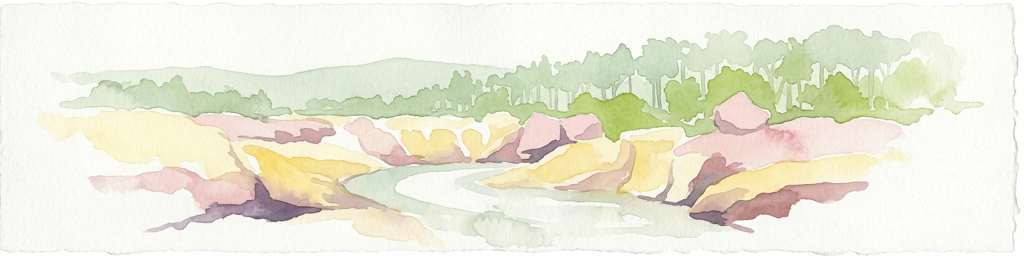
Watercolor painting of a river flowing between rocky cliffs with forest in the background
National parkNew South Wales
About 103 km away#2 closest

Northeast

Kwiambal National Park: New South Wales National Park with Granite Landscapes and River Confluence

Explore the dramatic scenery of MacIntyre Falls and surrounding protected terrain.

Kwiambal National Park is a significant protected area in New South Wales, Australia, celebrated for its unique granite outcrops and the spectacular confluence of the Severn and Macintyre Rivers at MacIntyre Falls. This national park provides a clear example of regional protected landscape identity, offering valuable context for atlas-driven discovery of Australia's natural geography and mapped terrain. The park's distinctive features contribute to its importance as a conservation reserve within the New England region.

Area
65.17 km²
Established
2000
IUCN
II
Scope
Terrestrial
National parkNew South Wales
About 104 km away#3 closest

Southeast

Warrabah National Park: Discover Protected Landscape and Mapped Geography in New South Wales

Explore the geographic context of this Australian national park.

Warrabah National Park is a designated national park in New South Wales, Australia, offering critical insights into protected area geography. This resource details its mapped boundaries and its place within the region's natural landscape. Understand the park's protected land identity and its contribution to the broader geographical atlas, providing a foundation for focused landscape exploration.

Area
34.71 km²
Established
1984
IUCN
II
Relief
Highland
National parkNew South Wales
About 107 km away#4 closest

East

Indwarra National Park: New South Wales National Park Protected Landscape and Geographic Context

Explore mapped park boundaries and regional geography.

Indwarra National Park is identified as a significant protected area within New South Wales, Australia, offering a unique focus for geographic exploration. As a national park, its mapped boundaries define a distinct natural landscape. This page provides detailed atlas-style information, enabling a deeper understanding of its terrain, regional context, and protected-area significance for structured discovery.

Area
9 km²
Established
1999
IUCN
Ia
Relief
Mountain
National parkNew South Wales
About 113 km away#5 closest

East

Kings Plains National Park: National Park Protected Area and Geographic Context

Explore mapped boundaries and landscape details for this New South Wales park.

Kings Plains National Park represents a distinct protected area entity within New South Wales, Australia. This national park serves as a focal point for understanding specific geographic features and its mapped boundaries. Users engaging with this park profile can uncover its regional landscape context and explore its significance as part of a larger atlas of protected natural areas. The focus remains on its geographic identity and atlas-based discovery value.

Area
57 km²
Established
1988
IUCN
II
Access
Moderate access
National parkNew South Wales
About 122 km away#6 closest

East

Single National Park National Park: A Protected Landscape within New South Wales

Explore mapped boundaries and regional geography.

Single National Park represents a vital protected area, contributing significantly to the natural landscape of New South Wales. This entry offers a deep dive into its geographic scope, detailing mapped park boundaries and the surrounding regional context. It serves as a foundational piece for understanding the park's identity as a protected natural asset and its place within Australia's broader conservation geography.

Area
25.63 km²
Established
1999
IUCN
II
Relief
Mixed relief
National parkAustralia
About 133 km away#7 closest

Northeast

Dthinna Dthinnawan National Park: Australia National Park Protected Landscape Identity

Mapped geography and regional natural terrain.

Delve into Dthinna Dthinnawan National Park, a designated national park in Australia. This page focuses on its role as a protected landscape, detailing its geographic position and mapped features. Understand the park's specific contribution to the Australian atlas of natural terrains and conservation areas, offering structured discovery for those interested in its unique environmental setting.

Established
2005
Relief
Upland
Scope
Terrestrial
Water
No major water
National parkNew South Wales
About 147 km away#8 closest

South

Garrawilla National Park: New South Wales Protected Woodland Ecosystems & Regional Geography

Explore mapped boundaries and native vegetation in this inland Australian national park.

Garrawilla National Park represents a significant protected landscape in New South Wales, Australia, dedicated to conserving semi-arid woodland terrain and characteristic native grass communities. Established to safeguard these vital ecosystems, the park offers insights into the natural heritage of the Central West region's geography. Users can explore its specific geographic footprint and understand its contribution to the preservation of inland Australian vegetation, providing a clear picture of its protected area identity.

Area
9.37 km²
Established
2005
IUCN
II
Scope
Terrestrial
Nature reserveNew South Wales
About 158 km away#9 closest

East

Little Llangothlin Nature Reserve: Exploring the New England Plateau Wetlands and Landscape

High-elevation freshwater lagoons and basalt landscapes in New South Wales

Little Llangothlin Nature Reserve stands as a preserved fragment of the New England Tablelands. This high-elevation wetland habitat provides essential refuge for diverse species, showcasing rare sedgeland, herbland, and woodland communities within a landscape dominated by agricultural development.

Area
2.57 km²
Established
1979
IUCN
IV
Relief
Upland
National parkNew South Wales
About 169 km away#10 closest

East

Warra National Park: Protected Landscape Identity and Geographic Setting in New South Wales

Mapped boundaries and regional natural terrain context.

Warra National Park represents a key protected area, offering critical insights into the natural geography of New South Wales, Australia. This detail page focuses on its identity as a national park, detailing its mapped boundaries and the surrounding landscape context. Understand the specific geographic features and the protected land designation that define Warra National Park, enhancing your atlas exploration with precise regional details.

Area
19.2 km²
Established
1999
IUCN
II
Relief
Highland
National parkSouthern Downs Region
About 170 km away#11 closest

Northeast

Sundown National Park: National Park with Mapped Protected Boundaries

Southern Downs Region's Protected Landscape Geography

Investigate Sundown National Park, a designated national park in Australia's Southern Downs Region. This resource details its protected landscape identity and geographic setting, offering precise information on its mapped boundaries and regional context for atlas exploration and understanding its conservation value.

Area
160 km²
Established
1977
IUCN
II
Relief
Mountain
National parkGoondiwindi Region
About 173 km away#12 closest

North

Bendidee National Park: Protected Landscape and Geographic Context

National park within the Goondiwindi Region, Australia

Bendidee National Park serves as a key protected area in the Goondiwindi Region of Australia. This detail page provides an atlas-focused perspective, detailing the park's mapped geographic extent and its significance as a natural landscape. Gain structured insights into Bendidee National Park's protected status and its place within the broader regional geography for informed exploration.

Area
9.3 km²
Established
1979
IUCN
II
Relief
Lowland
National parkNew South Wales
About 176 km away#13 closest

Southeast

Oxley Wild Rivers National Park: National Park Protected Landscape and Regional Geography

Explore mapped boundaries and natural terrain.

Oxley Wild Rivers National Park is a key protected area in New South Wales, Australia, designated as a national park. This entity provides essential geographic context, allowing for detailed exploration of its mapped boundaries and the surrounding natural landscape. Understand the park's role within the region and its contribution to a broader atlas of protected lands. Discover the specific landscape character and geographic identity that define this Australian national park.

Area
1,452.33 km²
Established
1986
IUCN
Ib
Relief
Mixed relief
National parkNew South Wales
About 178 km away#14 closest

East

Butterleaf National Park: National Park Protected Landscape with Regional Geographic Context

Mapped boundaries and terrain within New South Wales.

Butterleaf National Park represents a distinct national park entity within the geographic landscape of New South Wales. This resource provides a focused atlas view, detailing the park's protected boundaries and its specific contribution to the regional terrain. Users can explore the mapped geography and understand the park's identity as a significant protected natural area, offering foundational data for landscape context and conservation analysis.

Area
30 km²
Established
1999
IUCN
II
Scope
Terrestrial
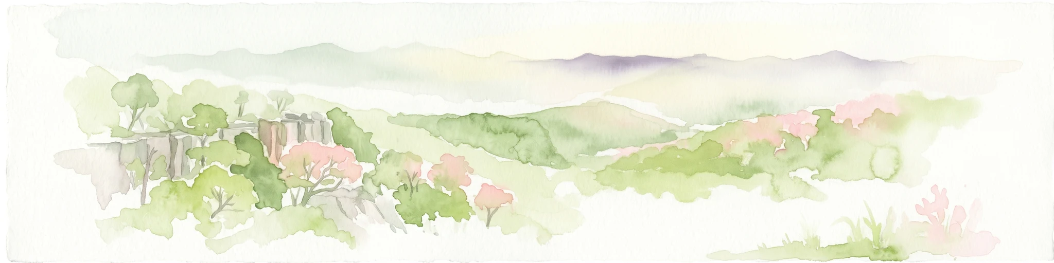
Watercolor illustration of rolling hills, green forests, and pink flowering trees
National parkNew South Wales
About 178 km away#15 closest

East

Guy Fawkes River National Park: National Park Geographic Context and Mapped Boundaries

Explore the protected landscape and regional geography of this New South Wales national park.

Gain a structured understanding of Guy Fawkes River National Park, a key national park in New South Wales, Australia. This entry provides detailed insights into its mapped geographic boundaries, its role as a protected landscape, and its contribution to the broader regional context for atlas exploration. Examine the park's place within the natural terrain of New South Wales for a clearer picture of conservation lands.

Area
1,005.9 km²
Established
1972
IUCN
Ib
Relief
Highland
National parkOrana
About 179 km away#16 closest

Southwest

Warrumbungle National Park: Detailed National Park Protected Landscape Atlas Entry

Mapped geography and protected boundaries within Orana, Australia.

Warrumbungle National Park is an Australian national park that serves as a prime example of a protected landscape for atlas-based geographic exploration. This entry provides detailed context on its mapped boundaries and regional terrain, anchoring it within the Orana area. Users can engage with its specific geographic identity, understanding its role as a distinct natural area within Australia's broader conservation atlas and mapped park network.

Area
233.11 km²
Established
1953
IUCN
II
Visitors
35K annual
National parkNew South Wales
About 182 km away#17 closest

East

Capoompeta National Park National Park: Protected Landscape and Regional Geography

Explore mapped boundaries and natural terrain in New South Wales.

Capoompeta National Park represents a key protected landscape entity within New South Wales, Australia. This detail page provides focused geographic information, emphasizing its status as a national park and its contribution to the regional atlas. Users can investigate the park's mapped terrain, understand its protected land characteristics, and grasp its geographical setting within the Australian context.

Area
39 km²
Established
1999
IUCN
II
Relief
Mountain
Nature reserveNew South Wales
About 185 km away#18 closest

East

Mann River Nature Reserve: Geography and Protected Forest Terrain in New South Wales

Highland river valleys and Great Dividing Range landscapes

Spanning over 7,000 hectares of rugged highland terrain, Mann River Nature Reserve provides a vital protected habitat within the Northern Tablelands. The landscape is defined by the incision of the Mann River through deep, forested gorges and sharp mountain ridges, creating a distinct physical setting that serves as a sanctuary for native Australian wildlife.

Area
71.28 km²
Established
1985
IUCN
II
Relief
Mountain
National parkNew South Wales
About 188 km away#19 closest

East

Barool National Park: National Park Discovery and Geographic Context

Mapped protected area within New South Wales.

Barool National Park is identified as a protected national park, contributing to the rich tapestry of natural landscapes across New South Wales. Understanding its specific location and mapped boundaries is essential for appreciating its role within the regional geography of Australia. This entry provides a factual basis for exploring the park's identity as a defined protected area, offering a unique point of reference for geographic discovery.

Area
112.44 km²
Established
1999
IUCN
II
Climate
Temperate
National parkNew South Wales
About 194 km away#20 closest

East

Washpool National Park National Park: Protected Area Atlas and New South Wales Geography

Explore the mapped boundaries and natural landscape context.

Washpool National Park represents a significant protected area within the geographic landscape of New South Wales. This entry provides a structured exploration of its identity as a national park, focusing on its mapped boundaries, regional distribution, and the natural terrain it encompasses. Understand its role within a broader atlas of protected lands and its unique geographic characteristics.

Area
587 km²
Established
1983
IUCN
II
Relief
Mountain
Distance methodology

Geographic measurements, not driving distances

How nearby park distances are calculated

Distances use park boundaries whenever the available geometry allows it. When one or both boundaries are missing, the mapped park locations provide a clearly labelled estimate. Every value represents straight-line geographic separation and does not use roads or routing.

Boundary distance

Calculated between the nearest points of both park boundaries.

Location-to-boundary estimate

Estimated from one mapped park location to the nearest boundary of the other park.

Mapped-location estimate

Estimated between the mapped locations of both parks.

MoriAtlas Explorer

Continue Exploring the Protected Landscapes of Gamilaroi Nature Reserve

Discover the specialized ecological character and mapped boundaries of Gamilaroi Nature Reserve through the MoriAtlas dataset. This science-focused perspective offers insight into the rare woodland communities and quartzite-derived soils that define this significant North West Slopes protected area within eastern Australia.

Global natural geography