Nature reserveHainan
About 184 km away#1 closest
Southeast

海南东寨港国家级自然保护区: Geographic Profile and Mangrove Wetland Boundaries
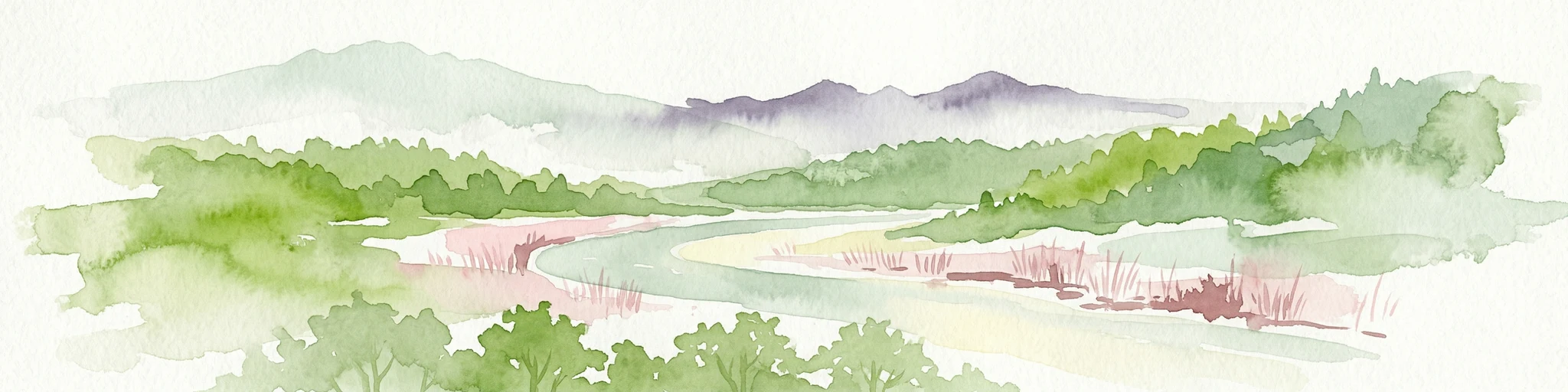
Coastal wetland landscapes on the northern edge of Hainan
Understand the physical landscape of 海南东寨港国家级自然保护区 through its complex tidal networks and brackish estuaries. This nature reserve provides essential insights into mangrove forest stability, sediment accumulation, and coastal resilience within the broader geography of Hainan province.
- Area
- 33.376 km²
- Established
- 1986
- IUCN
- V
- Relief
- Lowland