Mori Atlas logo
Nearby park discovery

Regional mapping of surrounding conservation landscapes and protected terrain

Protected Areas and National Parks Near Heathcote-Graytown National Park in Victoria

Investigate the geographic distribution of protected lands surrounding Heathcote-Graytown National Park within the Great Dividing Range. This regional survey highlights nearby natural habitats and connected wilderness areas that define the surrounding terrain. Use these mapped relationships to understand the wider conservation context of this specific box-ironbark forest region.

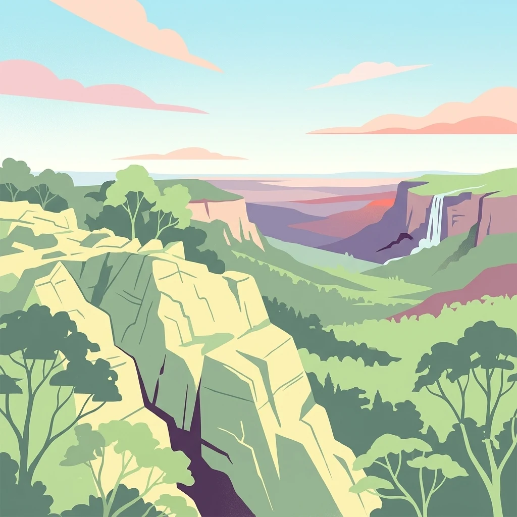
Illustrated view of rocky cliffs, forested hills, and a waterfall in a mountainous landscape with trees and distant mountains under a partly cloudy sky

Victoria's rare box-ironbark forest sanctuary in the Central Highlands

Heathcote-Graytown National Park

Heathcote-Graytown National Park is a protected area located in the North Central region of Victoria, Australia, approximately 150 kilometers north of Melbourne. The park encompasses 12,833 hectares of diverse terrain within the Great Dividing Range, situated immediately adjacent to the town of Heathcote. This relatively young national park was established in 2002 primarily to conserve Victoria's increasingly rare box-ironbark forests, which represent one of the state's most threatened ecological communities. The park forms part of a larger network of protected areas that includes adjacent state forests such as the McIvor Ranges State Forest, creating an important corridor for wildlife movement through the Central Highlands region. The park's ecological significance extends well beyond its borders, as it lies entirely within the Rushworth Box-Ironbark Region, designated as an Important Bird Area by BirdLife International. This recognition reflects the area's particular importance for several threatened woodland bird species, most notably the swift parrot, which migrates to southeastern Australia from Tasmania during the breeding season. The combination of remnant forest vegetation, varied topography, and proximity to watercourses creates habitat conditions that support a remarkable diversity of native wildlife despite the surrounding agricultural and mining landscape. Heathcote-Graytown National Park represents a deliberate conservation outcome for Victoria, proclaimed specifically to address the historical decline of box-ironbark forests across the state. These forests once covered extensive areas of central and northern Victoria but have been significantly reduced by land clearing, timber harvesting, and changed fire regimes. The park protects representative examples of this forest type and provides refuge for species that depend on mature woodland habitats for foraging, nesting, and breeding.

Location
Australia
Park type
National park
Established
2002
Area
128.3 km²
Heathcote-Graytown National Park Atlas
Regional park map

See the ranked park cluster in its geographic setting

Nearby parks around Heathcote-Graytown National Park

This regional map shows the same 20 nearby parks ranked below around Heathcote-Graytown National Park. Select a ranked marker to highlight that park’s boundary where boundary data is available.
Reference park: Heathcote-Graytown National ParkRanked nearby parkSelected boundary: Heathcote-Graytown National Park20 nearby parks shown
20 nearby parks

Distance-ranked conservation landscapes and regional park geography

Parks and Protected Areas Geographically Near Heathcote-Graytown National Park

Explore a ranked collection of protected areas situated geographically near Heathcote-Graytown National Park based on straight-line boundary separation. Examining these surrounding regional environments reveals broader conservation patterns across the wider natural landscape.
National parkAustralia
32 km away#1 closest

West

Greater Bendigo National Park: Essential Protected Landscape and Regional Geography Details

Map exploration of its box-ironbark forest and woodland ecosystems.

Delve into Greater Bendigo National Park, a protected area in Victoria renowned for its extensive box-ironbark forests. This national park is crucial for maintaining the distinct woodland ecosystems that support rich bird populations and provide essential habitat for the endangered swift parrot. Users can explore its mapped geographic extent, understand its landscape character, and appreciate its significance within Australia's protected natural areas.

Area
170 km²
Established
2002
IUCN
II
Relief
Lowland
National parkAustralia
55 km away#2 closest

North

Lower Goulburn National Park: Australia's River Red Gum Woodland Protected Landscape

Explore mapped boundaries and riparian geography.

Lower Goulburn National Park in Victoria, Australia, safeguards a critical segment of the Goulburn River, celebrated for its magnificent river red gum woodlands. This protected area offers a linear exploration of a rare riparian ecosystem, providing essential habitat and scenic beauty. Understand its geographic layout, mapped extent, and the distinctive landscape formed by these iconic Australian trees, offering a vital natural contrast to the surrounding agricultural areas.

Area
93.1 km²
Established
2010
IUCN
II
Relief
Lowland
National parkAustralia
60 km away#3 closest

Southeast

Kinglake National Park: Protected Mountain Ash Forests and Geological Heritage

Explore the mapped landscape and regional geography of this Australian National Park.

Kinglake National Park is a significant protected natural area in Victoria, Australia, distinguished by its mountainous terrain dominated by eucalyptus forests, including towering mountain ash trees. The park's unique geology features sedimentary layers with marine fossils, offering a glimpse into its ancient submerged history. This National Park provides a rich environment for exploring diverse landscapes, understanding fire ecology, and appreciating the mapped boundaries of a resilient natural area.

Area
232.1 km²
Established
1928
IUCN
II
Relief
Upland
National parkAustralia
70 km away#4 closest

Northwest

Terrick Terrick National Park: National Park Geography and Protected Land Exploration

Semi-arid woodland and grassland ecosystems in northern Victoria.

Terrick Terrick National Park represents a crucial protected area showcasing the characteristic Box-Ironbark forest and native grassland ecosystems of northern Victoria. This park is defined by its gently undulating terrain and semi-arid woodland character, offering a distinct natural landscape for geographic study and atlas exploration. Its mapped extent clearly delineates an environment vital for conservation, providing a valuable point of reference for understanding regional protected land distribution and ecological significance within Australia.

Area
38.8 km²
Established
1988
IUCN
II
Relief
Lowland
National parkNew South Wales
79 km away#5 closest

North

Murray Valley National Park: Explore its Mapped Boundaries and Regional Geography in New South Wales

Protected landscape identity and geographic context.

Gain a structured understanding of Murray Valley National Park, a designated national park within New South Wales. This detail page provides essential geographic context, highlighting the park's mapped boundaries and its significance as a protected natural landscape. Utilize this entry point for comprehensive atlas-based exploration of its unique regional setting and terrain.

Area
416.01 km²
Established
2010
IUCN
II
Relief
Lowland
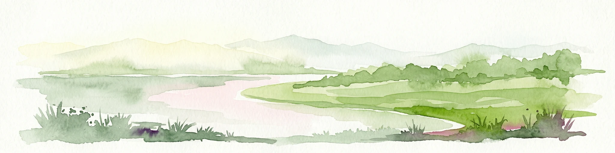
Watercolor illustration showing a lake surrounded by green hills and vegetation
National parkAustralia
79 km away#6 closest

Southeast

Lake Eildon National Park: Protected Landscape with Ancient Volcanic and Gold Mining Heritage

Explore mapped terrain and diverse eucalypt forests.

Lake Eildon National Park in Victoria's Central Highlands offers a unique protected landscape shaped by ancient volcanic activity and the region's gold rush era. This national park, centered around the large Lake Eildon reservoir, provides critical habitat within its diverse eucalypt forests. Discover its geological significance, historical mining sites, and mapped boundaries, offering a comprehensive view of its protected-area identity and regional geographic context.

Area
277.5 km²
Established
1997
IUCN
II
Relief
Mountain
National parkAustralia
79 km away#7 closest

South

Organ Pipes National Park: Victoria National Park Featuring Columnar Basalt and Volcanic Geology

Explore unique mapped terrain and ancient protected landscapes near Melbourne.

Organ Pipes National Park stands as a crucial protected area in Victoria, Australia, celebrated for its exceptional columnar basalt formations and deep geological heritage. This national park preserves a striking landscape where ancient Silurian marine sediments meet relatively recent Pleistocene volcanic basalt, offering a profound glimpse into regional geography and land formation. Discover the park's mapped boundaries, the dramatic geological features along Jacksons Creek, and the ecological restoration efforts that highlight its value as a natural monument.

Area
1.21 km²
Established
1972
IUCN
III
Visitors
50K annual
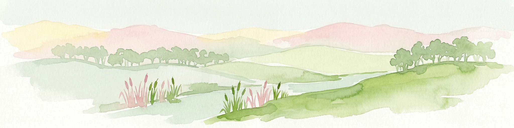
Watercolor illustration of a river landscape with green hills, trees, and pink reeds
National parkAustralia
82 km away#8 closest

North

Barmah National Park National Park: World's Largest River Red Gum Forest Landscape

Explore Mapped Boundaries and Wetland Geography

Barmah National Park in Victoria, Australia, is renowned for protecting the largest river red gum floodplain forest on Earth, a globally significant Ramsar-listed wetland. This protected area's landscape is defined by majestic eucalypts bordering freshwater marshes along the Murray River. Dive into its distinct geography, mapped terrain, and the protected status of this remarkable ecosystem, offering unparalleled opportunities for understanding regional natural landscapes and conservation.

Area
285.21 km²
Established
2010
IUCN
II
Relief
Lowland
National parkAustralia
92 km away#9 closest

Northwest

Gunbower National Park: A National Park Protecting River Red Gum Forests and Ramsar Wetlands

Explore its mapped riverine landscape and regional protected area context.

Gunbower National Park offers a unique glimpse into Victoria's vital floodplain ecosystems, prominently featuring extensive River Red Gum forests and Ramsar-designated wetlands. This protected national park, situated along the Murray River, serves as a crucial sanctuary for migratory bird species within the Murray-Darling Basin. Its landscape is defined by waterways like Gunbower Creek and a mosaic of aquatic habitats, representing an important conservation area for its ecological communities and geographic significance.

Area
93.3 km²
Established
2010
IUCN
II
Relief
Lowland
National parkAustralia
94 km away#10 closest

Southeast

Yarra Ranges National Park: Victoria's Towering Mountain Ash Forests and Protected Landscape Geography

Explore mapped boundaries and vital water catchment landscapes.

Yarra Ranges National Park in Victoria, Australia, represents a significant protected landscape within the Great Dividing Range. It is renowned for its exceptionally tall mountain ash forests, which are vital carbon stores and habitats, and its critical function as a water catchment area for Melbourne. This park offers a deep dive into a unique geographic setting defined by diverse mountain terrain, temperate rainforests, and subalpine environments, all preserved for their ecological and water security importance.

Area
760 km²
Established
1995
IUCN
II
Visitors
800K annual
National parkAustralia
95 km away#11 closest

Southwest

Brisbane Ranges National Park: Mapped Protected Terrain and Wildlife Observation

Explore its landscape context and geographic identity.

Brisbane Ranges National Park offers a protected natural landscape west of Melbourne, known for its accessible bushland scenery and wildlife observation opportunities. As a national park, it preserves a unique region of forested gullies and moderate elevation hills, providing valuable insight into Victoria's geographic diversity. Explore the mapped terrain, understand the park's role as a protected area, and discover the features that make it a distinct component of Australia's natural atlas.

Area
77.18 km²
Established
1973
IUCN
II
Relief
Upland
National parkAustralia
110 km away#12 closest

South

Dandenong Ranges National Park: A Protected National Park Landscape

Explore its mapped terrain and regional geographic context.

Dandenong Ranges National Park represents a significant protected area near Melbourne, Australia, characterized by its steep, undulating ridges and deep gullies supporting tall, wet forests. As a national park, it safeguards a vital natural landscape, providing context for regional geography and offering insights into its terrain. This entry facilitates detailed exploration of the park's protected boundaries and its place within the Australian protected-area atlas.

Area
35.4 km²
Established
1987
IUCN
II
Visitors
1M annual
National parkAustralia
113 km away#13 closest

Northeast

Warby-Ovens National Park: Protected Landscape and Geographic Atlas Entry

Discover its Box-Ironbark forests and mapped regional terrain.

Warby-Ovens National Park is a protected national park situated in northeastern Victoria, Australia, covering 14,655 hectares of distinctive landscape. It is internationally recognized as an Important Bird Area, primarily for its significant Box-Ironbark forest ecosystem that supports numerous threatened woodland bird species. The park's geography features low granite hills and rolling terrain, with the Ovens River flowing through its northern section. This detail page provides structured information on its protected boundaries, natural landscape characteristics, and its place within regional geography.

Area
146.55 km²
Established
2010
IUCN
II
Relief
Upland
National parkAustralia
120 km away#14 closest

South

Churchill National Park: Remnant Woodland and Industrial Heritage in Victoria, Australia

Mapped protected area with notable bird diversity and historical quarry sites.

Churchill National Park offers a unique glimpse into Victoria's remnant woodland ecosystems and early twentieth-century industrial history. As a national park, it protects critical habitats for a variety of bird species and preserves the landscape features of historical quarrying operations, including the Scoresby Tramway ruins. The park's mapped geography and accessible walking tracks, like the Channel Track, provide opportunities for exploration and understanding its role as a protected natural and historical asset near Melbourne.

Area
2.71 km²
Established
1941
IUCN
II
Relief
Upland
National parkAustralia
121 km away#15 closest

West

Kara Kara National Park: Mapped Protected Landscape and Box-Ironbark Forest Ecology

Explore Victoria's protected natural geography and woodland habitats.

Kara Kara National Park is an essential protected area in Victoria, Australia, recognized for its significant box-ironbark forest ecosystems and the conservation of the endangered swift parrot. The park's geography is defined by the St Arnaud Range, offering a distinct topography of ridges and valleys that contrast with the surrounding plains. Understanding this park's mapped boundaries and its role within the regional landscape provides critical insight into its ecological value and its representation of historical woodland environments.

Area
139.9 km²
Established
2002
IUCN
II
Relief
Upland
National parkAustralia
121 km away#16 closest

East

Alpine National Park: Victoria's Expansive National Park in the Great Dividing Range

Mapping significant alpine, subalpine, and mountain wilderness landscapes.

Alpine National Park represents Victoria's largest protected area, safeguarding critical alpine and subalpine environments across the Great Dividing Range. This national park encompasses vast mountainous terrain, including Victoria's highest peaks like Mount Bogong, and the expansive Bogong High Plains known for their unique grassland and woodland ecosystems. The park's protected landscape offers rich opportunities for geographic discovery and understanding its place within Australia's significant mountain wilderness regions.

Area
6,474 km²
Established
1989
IUCN
II
Relief
Mountain
National parkAustralia
143 km away#17 closest

East

Chiltern-Mt Pilot National Park: Box-Ironbark Forest & Mapped Landscape

Explore its protected areas and regional geographic context.

Chiltern-Mt Pilot National Park preserves a significant portion of Victoria's box-ironbark forest, an ecosystem vital for threatened species and rich biodiversity. This park showcases varied terrain, from sedimentary hills to granite landscapes, offering a compelling subject for geographic study. Understand its mapped extent and its role within the broader regional geography, providing deep insights for atlas-based exploration.

Area
215.6 km²
Established
2002
IUCN
II
Relief
Mixed relief
National parkAustralia
147 km away#18 closest

East

Mount Buffalo National Park: Historic Granite Plateau in Victoria's Alpine Region

Mapped Protected Landscape and Geographic Context

Mount Buffalo National Park represents a significant protected area within Victoria, Australia, celebrated for its distinctive granite plateau. This national park, one of Australia's oldest, features dramatic rock formations, tors, and the iconic summit of The Horn, offering panoramic vistas across the alpine landscape. Its elevation of approximately 1,723 meters supports a variety of ecosystems, from forested slopes to alpine grasslands. The park's unique geology and its role as a protected landscape make it a key destination for understanding regional Australian geography and conservation history.

Area
310 km²
Established
1898
IUCN
II
Visitors
200K annual
National parkAustralia
148 km away#19 closest

Southeast

Baw Baw National Park: Subalpine Granite Landscapes and Protected Area Geography

Discover Victoria's southernmost alpine wilderness.

Baw Baw National Park offers a rare glimpse into Australia's subalpine environment, characterized by striking granite boulder formations and iconic snow gum forests. As a protected national park, it safeguards unique ecosystems and habitats, including those for critically endangered species. This atlas entry details the park's distinctive landscape, its mapped boundaries, and its geographic significance as the southern edge of mainland alpine terrain.

Area
135.3 km²
Established
1979
IUCN
II
Relief
Mountain
National parkAustralia
About 151 km away#20 closest

South

Point Nepean National Park: Protected Coastal Landscape & Geographic Context

Discover the mapped boundaries of this Australian national park.

Point Nepean National Park represents a vital protected landscape situated at the southern extremity of the Mornington Peninsula, Australia. This national park encompasses a rugged headland that forms the critical entrance to Port Phillip Bay, characterized by striking limestone cliff formations and coastal ecosystems. As a site of historical military importance, Point Nepean National Park offers a distinct geographic identity and a unique protected area for atlas-based exploration and understanding its regional context.

IUCN
II
Distance methodology

Geographic measurements, not driving distances

How nearby park distances are calculated

Distances use park boundaries whenever the available geometry allows it. When one or both boundaries are missing, the mapped park locations provide a clearly labelled estimate. Every value represents straight-line geographic separation and does not use roads or routing.

Boundary distance

Calculated between the nearest points of both park boundaries.

Location-to-boundary estimate

Estimated from one mapped park location to the nearest boundary of the other park.

Mapped-location estimate

Estimated between the mapped locations of both parks.

MoriAtlas Explorer

Continue Exploring Heathcote-Graytown National Park's Protected Landscape and Geography

Delve deeper into the protected landscape of Heathcote-Graytown National Park to understand its specific geographic context and mapped features. This destination offers rich insights into the conservation of box-ironbark forests and their importance within the Great Dividing Range. Examining its park boundaries and surrounding regional geography reveals why this area is vital for biodiversity and atlas-based discovery.