Mori Atlas logo
Nearby park discovery

Regional mapping of landscape connectivity and surrounding protected tundra environments

Protected Areas and National Parks Situated Near Kytalyk National Park in the Sakha Republic

Explore the geographical distribution of protected areas adjacent to Kytalyk National Park. This regional overview highlights mapped boundaries and natural terrain features to provide context on the ecological landscape across the East Siberian tundra. Gain insight into the spatial relationship between nearby wilderness designations and the broader environmental framework of the Sakha Republic.

Related tags

Arctic tundrapermafrostthaw lakesSiberian cranebird breeding grounds

A vast Arctic wilderness in Yakutia protecting the endangered Siberian crane.

Kytalyk National Park

Kytalyk National Park is a remote and expansive protected area in the Allaikha district of the Sakha Republic, the Russian Federation's northernmost major region (Yakutia). It lies deep within the East Siberian tundra, a landscape shaped by permafrost, low-relief plains, river valleys, and shallow thaw lakes, and it is one of the last strongholds for the critically endangered eastern Siberian population of the Siberian crane (Leucogeranus leucogeranus). The park brings together the most ecologically valuable portions of the former Kytalyk state wildlife sanctuary (zakaznik) and the local resource reserve into a single unified management framework. Beyond its importance for Siberian crane breeding habitat, the area hosts a rich tundra avifauna, including white-billed divers, lesser white-fronted geese, Bewick's swans, and large moulting concentrations of waterfowl, together with characteristic Arctic mammals such as Arctic fox, wolf, wolverine, and less frequent visits by wild reindeer, moose, and muskox. Its combination of pristine tundra ecosystems, its role in the survival of one of the rarest cranes on Earth, and its placement on UNESCO's tentative World Heritage list gives Kytalyk a strongly international conservation profile, despite its remoteness and minimal visitor infrastructure.

Location
Russia
Park type
National park
Established
2019
Area
18,855.5 km²
Kytalyk National Park Geography and Maps
Regional park map

See the ranked park cluster in its geographic setting

Nearby parks around Kytalyk National Park

This regional map shows the same 20 nearby parks ranked below around Kytalyk National Park. Select a ranked marker to highlight that park’s boundary where boundary data is available.
Reference park: Kytalyk National ParkRanked nearby park20 nearby parks shown
20 nearby parks

Distance ranked comparison of surrounding protected landscapes and regional geography

Parks and Protected Areas Geographically Near Kytalyk National Park

Spatial proximity rankings establish a structured collection of protected areas situated geographically near Kytalyk National Park. Boundary measurements and environmental records facilitate systematic comparison of surrounding regional geography without implying shared terrain or travel routes.
National parkSakha Republic
About 163 km away#1 closest

Southeast

Kytalyk National Park: Arctic Tundra Geography and Protected Siberian Wilderness

Exploration of permafrost terrain in the Sakha Republic

Situated in the Sakha Republic, Kytalyk National Park protects nearly 1.9 million hectares of low-lying Arctic coastal tundra. The park provides an essential look at intact polar environments, featuring thermokarst landforms, extensive peat bogs, and critical nesting grounds for migratory bird species across the Siberian landscape.

Area
18,856 km²
Established
2020
IUCN
II
Relief
Lowland
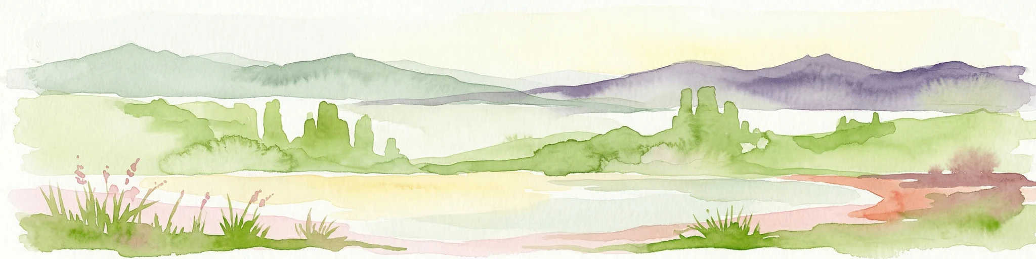
Watercolor illustration showing green hills, a river, and grassy foreground
Nature reserveSakha Republic
About 1,421 km away#2 closest

Southwest

Lena Pillars Nature Reserve: Mapped Protected Area in Sakha Republic's Vast Geography

Explore the regional landscape and park boundaries.

Discover Lena Pillars Nature Reserve, a key protected area located within the expansive Sakha Republic of Russia. This page offers focused atlas exploration, detailing the park's geographic setting and its mapped boundaries against the backdrop of Siberia's largest federal subject. Understand the unique natural landscape context and its significance within regional conservation efforts, providing structured geographic data for your exploration.

Area
13,870 km²
IUCN
II
Relief
Lowland
Climate
Subpolar
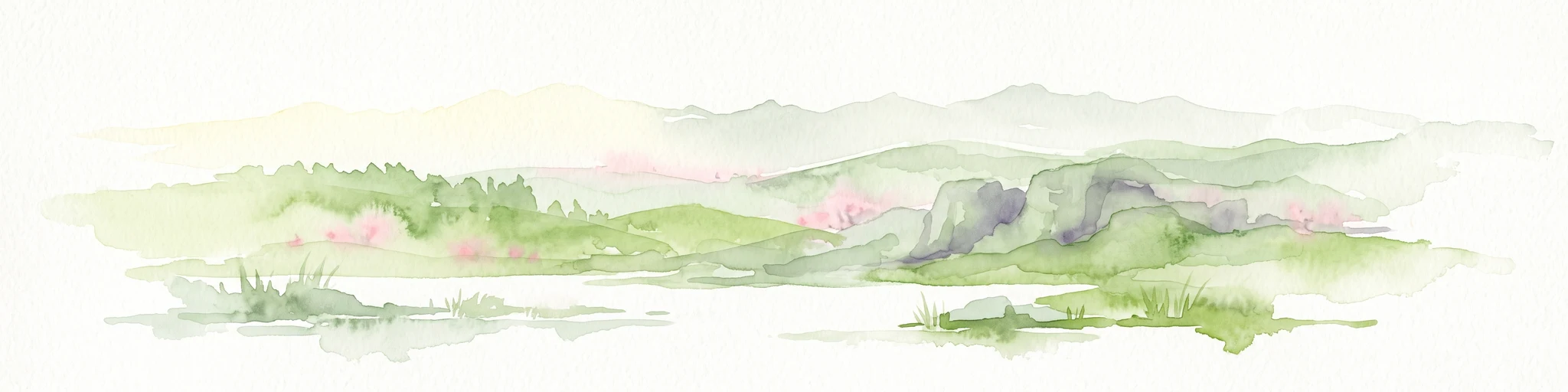
A pale, minimalist watercolor painting showing soft green hills, patches of pink, and grassy shorelines against a blank white background.
National parkSakha Republic
About 1,421 km away#3 closest

Southwest

Lena Pillars National Park: Geological Formations and River Geography in Sakha Republic

Explore the unique cliff-lined river corridors and boreal wilderness.

Lena Pillars National Park stands as a significant protected landscape in the Russian Far East. The area features a massive complex of vertical limestone towers rising from the Lena River, surrounded by permafrost-rich taiga forests and unique northern desert dunes. This geographic overview highlights the park terrain, river-based ecosystems, and the historical significance of the region.

Area
12,179.4 km²
Established
1994
IUCN
II
Relief
Highland
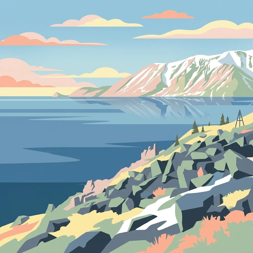
Stylized illustration of a mountainous coastline with rocky shore, calm water, and snow-capped peaks under a sky with clouds
National parkChukotka Autonomous Okrug
About 1,604 km away#4 closest

East

Beringia National Park: Arctic Tundra and Mountain Landscape Discovery in Chukotka

Explore protected boundaries and subarctic geographic features

Beringia National Park offers an expansive look at the subarctic ecosystems of the Chukchi Peninsula. This protected area preserves a unique terrain characterized by low-lying tundra plains and dramatic mountain ridges. Its position along the Bering Strait provides significant geographic context for understanding northern land connections and the remnants of ice age migrations within the Russian Arctic wilderness.

Area
30,532 km²
Established
2013
IUCN
II
Relief
Mixed relief
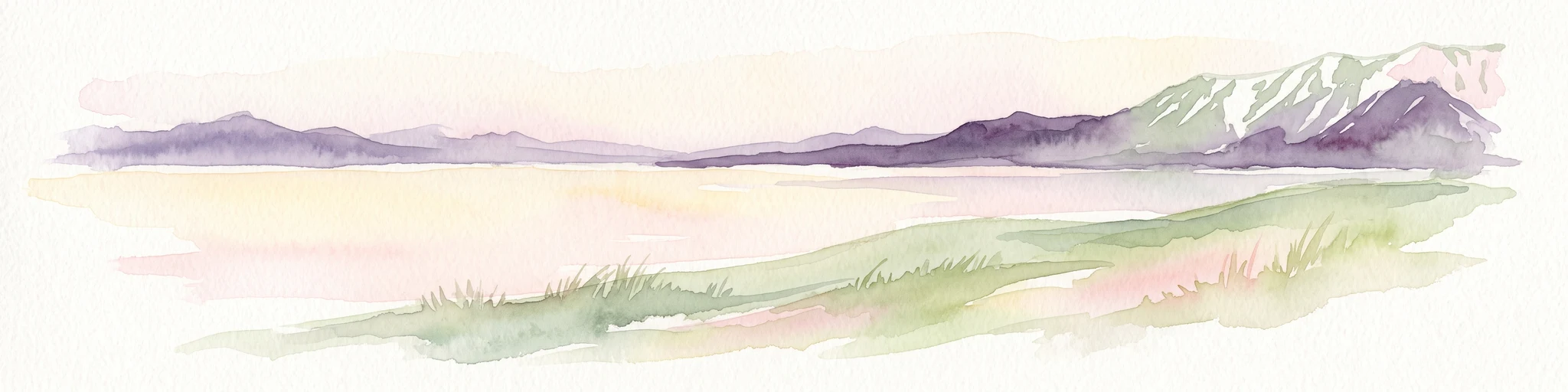
A horizontal watercolor painting depicting a pale, calm body of water in the foreground, with a grassy shoreline and rolling mountain silhouettes in the distance under a soft sky.
National parkChukotka Autonomous Okrug
About 1,876 km away#5 closest

East

Beringia National Park: Arctic Tundra and Coastal Protected Area in Chukotka

Geography of the Russian Far East and Bering Strait

Beringia National Park protects a sprawling network of Arctic tundra, dramatic shoreline, and isolated islands within the Chukotka Autonomous Okrug. The area maps the unique environmental transition between Siberia and the Bering Strait, highlighting a complex landscape of river basins and coastal cliffs that support diverse Arctic wildlife and migratory populations.

Area
18,194.5 km²
Established
1993
IUCN
II
Relief
Lowland
National parkKhabarovsk Krai
About 1,928 km away#6 closest

South

Shantar Islands National Park: Remote Archipelago Atlas with Rugged Terrain

Mapping protected marine and island geography in Khabarovsk Krai.

Shantar Islands National Park represents a significant protected landscape within Khabarovsk Krai, notable for its dramatic coastal geography, mountainous terrain, and rich marine ecosystems. This national park, encompassing a chain of islands in the Sea of Okhotsk, is a vital habitat for marine mammals and seabird colonies. Explore its mapped boundaries and unique regional atlas context, understanding its role as a protected coastal area in the Russian Far East.

Area
5,155 km²
Established
2013
IUCN
II
Relief
Mountain
National parkAmur Oblast
About 1,947 km away#7 closest

Southwest

Tokinsko-Stanovoy National Park: Protected Landscape Geography and Atlas Context

National Park in Amur Oblast, Russia

Delve into the specifics of Tokinsko-Stanovoy National Park, a designated national park within Amur Oblast. This entry provides essential context on its protected landscape characteristics and its place in the regional geography. Understand the park's mapped boundaries and discover its natural terrain as part of a larger atlas-driven exploration of protected areas in the Russian Far East.

Area
2,430 km²
Established
2019
IUCN
II
Relief
Mountain
Watercolor illustration of rolling green hills with distant mountains and a light sky
National parkRussia
About 2,019 km away#8 closest

Northwest

Russian Arctic National Park: Russia's Premier Northernmost Protected Landscape

Arctic Islands, Glacial Terrain, and Marine Mammal Habitats

Russian Arctic National Park preserves some of the planet's most remote and pristine Arctic environments across the Novaya Zemlya and Franz Josef Land archipelagos. This protected area offers unparalleled insight into Arctic geography, showcasing dramatic glacial landscapes, extensive seabird colonies, and critical feeding grounds for polar bears and bowhead whales. Explore the park's unique protected landscape and its significance within the broader atlas of global conservation efforts.

Area
14,260 km²
Established
2009
IUCN
II
Relief
Lowland
National parkNorthwest Arctic Borough
About 2,080 km away#9 closest

East

Kobuk Valley National Park: Protected National Park with Regional Geography Context

Explore mapped boundaries and natural terrain within Northwest Arctic Borough.

Kobuk Valley National Park serves as a primary protected landscape within the Northwest Arctic Borough, Alaska. This entry facilitates detailed atlas exploration of its specific geography, mapped protected boundaries, and the natural terrain that defines its character as a designated national park. Understand its place within the broader regional landscape for comprehensive geographic discovery.

Area
7,084.9 km²
Established
1980
IUCN
II
Visitors
17.6K annual
Watercolor illustration showing a river winding through a valley with mountains and forests
National parkZabaykalsky Krai
About 2,081 km away#10 closest

Southwest

Kodar National Park: Geographic Map & Protected Landscape Analysis

Analyzing alpine terrain and Siberian taiga ecosystems

Kodar National Park presents a striking array of Siberian ecosystems, including the northernmost desert environment known as the Chara Sands, extensive taiga forests, and rugged volcanic terrain on the Udokan Plateau. This geographic resource details the park's distinct sectors, tracing the boundaries of its alpine cirques, glaciers, and mountainous corridors that characterize the Zabaykalsky Krai landscape.

Area
4,917 km²
Established
2016
IUCN
II
Relief
Mountain
Watercolor painting of a mountain range with green foothills and a central valley, set against a plain white background.
National parkZabaykalsky Krai
About 2,105 km away#11 closest

Southwest

Kodar National Park: Geography and Protected Wilderness in Zabaykalsky Krai

Mapped mountain taiga and alpine ranges of Siberia

Kodar National Park is a federally protected area in southern Siberia, defined by its rugged alpine peaks and expansive mountain taiga forests. Centered on the Kodar Range, this protected region offers an essential look at the subarctic ecosystems, rare high-altitude flora, and river corridors of Zabaykalsky Krai. Users can examine the park's two-cluster configuration and its role as a remote stronghold for endemic species within the broader Russian Far East.

Area
4,917.1 km²
Established
2018
IUCN
II
Relief
Mountain
Protected areaKamchatka Krai
About 2,146 km away#12 closest

Southeast

Commander Islands Protected Area: Detailed Map and Regional Geographic Context

Explore protected landscapes in Kamchatka Krai.

Delve into the Commander Islands Protected Area, a significant protected landscape located within the vast geography of Kamchatka Krai. This detailed entry provides essential atlas-level context, focusing on the park's mapped boundaries and its position within the regional landscape. Understand the protected area's geographic identity and its role in the natural terrain of the Russian Far East through our structured exploration tools.

Area
1,846 km²
IUCN
Ia
Relief
Mixed relief
Climate
Subpolar
A horizontal watercolor illustration showing soft green, white, and pale pink tones depicting a misty coastal landscape with grassy banks and distant hills.
National parkKamchatka Krai
About 2,166 km away#13 closest

Southeast

Komandorsky Islands National Park: A Comprehensive Atlas of Volcanic Islands and Marine Territory

Remote island geography within the Kamchatka Krai volcanic arc.

Spanning both the Commander Islands and a substantial marine buffer in the Bering Sea, this park defines a rugged frontier of tundra slopes, basalt sea stacks, and deep coastal bays. It serves as a primary site for marine conservation, where oceanic weather and volcanic rock shape a dramatic, remote landscape of significant geographic interest.

Area
36,486.8 km²
Established
1993
IUCN
II
Relief
Upland
A watercolor painting of a flat, green tundra landscape with a small body of water and rolling hills in the background against a soft, light sky.
National parkЯмало-Ненецкий автономный округ
About 2,196 km away#14 closest

Northwest

Гыданский национальный парк: Arctic Wilderness and Coastal Protected Landscapes Atlas

Regional geography and Arctic tundra mapping in Yamalo-Nenets

Focusing on the northern edge of Western Siberia, Гыданский национальный парк provides an expansive view of protected Arctic tundra and Kara Sea islands. This area is characterized by its low-lying terrain, intricate river systems, and vital role in global migratory bird flyways. The protected status covers both mainland tundra and fragmented offshore islands, creating a distinctive landscape profile that bridges continental wilderness with marine environments.

Area
8,981.74 km²
Established
1996
IUCN
II
Relief
Lowland
National parkAlaska
About 2,304 km away#15 closest

East

Gates of the Arctic National Park and Preserve: Alaska's Remote Protected Landscape

Explore mapped park boundaries and regional geographic context.

Delve into the protected landscape of Gates of the Arctic National Park and Preserve, a vast national park situated in Alaska. This entry offers a detailed perspective on its geographic setting, focusing on mapped boundaries and its significance as a protected area. Understand the scale and natural context of this remote wilderness for comprehensive atlas-based exploration.

Area
34,287 km²
Established
1978
IUCN
V
Visitors
11.9K annual
Wildlife reserveAlaska
About 2,495 km away#16 closest

East

Innoko Wilderness: Geographic Profile and Protected Landscape of Interior Alaska

Subarctic wilderness tracking wetlands and boreal transitions

Spanning over one million acres in the Alaskan interior, Innoko Wilderness offers a unique look at a sprawling subarctic ecosystem. Dominated by muskeg, interconnected lakes, and the floodplains of the Yukon and Innoko Rivers, this protected area functions as a critical transition zone between interior forests and western tundra landscapes.

Area
5,000 km²
Established
1980
IUCN
Ib
Relief
Lowland
Watercolor illustration of a serene river landscape with birch trees in the foreground, forest in the midground, and soft-colored mountain ranges in the background.
National parkKhabarovsk Krai
About 2,550 km away#17 closest

South

Anyuysky National Park: Protected Sikhote-Alin Forests and River Valley Geography

An intact wilderness refuge in Khabarovsk Krai, Russia.

Anyuysky National Park stands as a primary reference for intact East Asian ecosystems. The park encompasses a dramatic landscape of forested ridges, riparian zones, and the signature Anyui Pillars. These sandstone rock formations overlook a valley that remains largely untouched by human activity, serving as a critical habitat within the greater Sikhote-Alin range. This geography offers a rare look at the transition from high-mountain terrain to the expansive Amur River basin.

Area
4,293 km²
Established
2007
IUCN
II
Relief
Mountain
Watercolor painting of a river flowing through green hills with pink flowering trees and distant mountains under a light sky
National parkKhabarovsk Krai
About 2,550 km away#18 closest

South

Anyuysky National Park: Geographic and Protected Landscape Discovery in Khabarovsk Krai

Ecological corridors from the Amur River to the Sikhote-Alin mountains.

Anyuysky National Park represents a critical, remote expanse in the Russian Far East. Its boundaries protect a continuous gradient of habitats, linking the flat wetlands of the Amur River floodplain with the forested slopes of the Sikhote-Alin highlands. The park serves as a key area for habitat preservation and environmental mapping.

Area
4,294 km²
Established
1999
IUCN
II
Relief
Mixed relief
National parkYukon
About 2,555 km away#19 closest

Northeast

Ivvavik National Park: Yukon National Park Protected Landscape and Geography

Explore mapped boundaries and regional context.

Ivvavik National Park is a designated national park within Yukon, representing a significant protected landscape. This page offers a focused exploration of its geographic identity, mapped boundaries, and its place within the broader atlas of Canada's natural areas. Understand Ivvavik National Park as a defined entity contributing to the regional geography and protected land distribution of Yukon.

Area
10,168 km²
Established
1984
IUCN
II
Visitors
179 annual
National parkNunavut
About 2,632 km away#20 closest

North

Quttinirpaaq National Park: A Detailed Look at its Protected Landscape and Nunavut Geography

Mapped boundaries and regional context for this significant Arctic national park.

Gain a comprehensive understanding of Quttinirpaaq National Park, a protected national park located in the expansive region of Nunavut, Canada. This resource delves into the park's geographic identity, its mapped contours, and its position within the broader arctic landscape context. It is designed to support atlas-based exploration and a detailed appreciation of this protected area's unique setting within Northern Canada's geography.

Area
37,775 km²
Established
1988
IUCN
II
Visitors
7 annual
Distance methodology

Geographic measurements, not driving distances

How nearby park distances are calculated

Distances use park boundaries whenever the available geometry allows it. When one or both boundaries are missing, the mapped park locations provide a clearly labelled estimate. Every value represents straight-line geographic separation and does not use roads or routing.

Boundary distance

Calculated between the nearest points of both park boundaries.

Location-to-boundary estimate

Estimated from one mapped park location to the nearest boundary of the other park.

Mapped-location estimate

Estimated between the mapped locations of both parks.

MoriAtlas Explorer

Continue Exploring the Geographic Landscapes of Kytalyk National Park

Deepen your understanding of Kytalyk National Park through our structured geographic atlas. Trace the boundaries of this expansive Arctic protected area and see how permafrost and wetland mosaics define the terrain in the Sakha Republic. Discover more about the regional context of this critical wilderness with MoriAtlas.