Mori Atlas logo
Nearby park discovery

Mapping the landscape context and regional environmental proximity of this wetland oasis.

Geographic Distribution of Protected Areas and Nature Reserves Near Lago di Piano

This geographic overview traces the distribution of protected areas and nature reserves situated in the vicinity of Lago di Piano. By analyzing the surrounding pre-Alpine terrain and valley landscapes, the data helps illustrate how this wetland oasis sits within a broader network of protected lands across the Lombardy region.

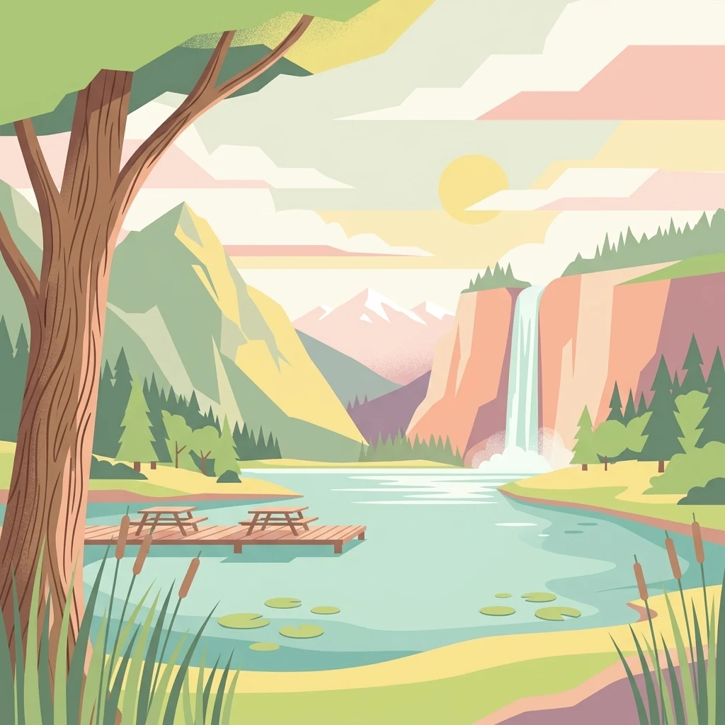
A flat-style digital illustration of a lake surrounded by mountains, a waterfall, and a small wooden dock with picnic tables.

A glacial lake and wetland oasis in Lombardy's Val Menaggio.

Lago di Piano

Lago di Piano is a small glacial lake lying in Val Menaggio, in the province of Como, northern Lombardy. Set just inland from the western shore of Lake Lugano, it occupies a low valley behind the town of Porlezza and is framed by the foothills of Monte di Tremezzo and Monte Galbiga. Today the lake and its surrounding marshland form one of the most important freshwater wetland oases in the region, protected as a regional nature reserve and recognized as a Site of Community Importance by the European Union. The lake's character blends open water, floating carpets of water lilies, reed-fringed margins, and adjacent meadows where herons, ducks, and many other wetland species feed and nest. Surrounding the water are drumlins and fragments of medieval and Roman-era lookout posts that hint at the lake's long human history. Although modest in size, Lago di Piano stands out for the richness of its habitats within a small area and for the way it preserves a rare example of lowland wetland landscape in the pre-Alpine foothills. Beyond its ecological value, the lake is also a quiet local landmark. Beaches and campsites line its shores in summer, while in winter the cold shade of Monte Galbiga allows the surface to freeze, making the lake a traditional spot for ice skating and, historically, a source of cut ice for nearby cellars.

Location
Italy
Park type
Nature reserve
Area
0.7 km²
Lago di Piano Nature Reserve Geography
Regional park map

See the ranked park cluster in its geographic setting

Nearby parks around Lago di Piano

This regional map shows the same 20 nearby parks ranked below around Lago di Piano. Select a ranked marker to highlight that park’s boundary where boundary data is available.
Reference park: Lago di PianoRanked nearby parkSelected boundary: Lago di Piano20 nearby parks shown
20 nearby parks

Ranked distance relationships and surrounding protected landscapes across northern Lombardy

Parks and Protected Areas Geographically Near Lago di Piano in Regional Context

Examine the ranked collection of protected areas situated at varying geographic distances from Lago di Piano across the pre-Alpine terrain. Structured spatial separation metrics and recorded environmental characteristics provide a framework for comparing surrounding regional park geography.
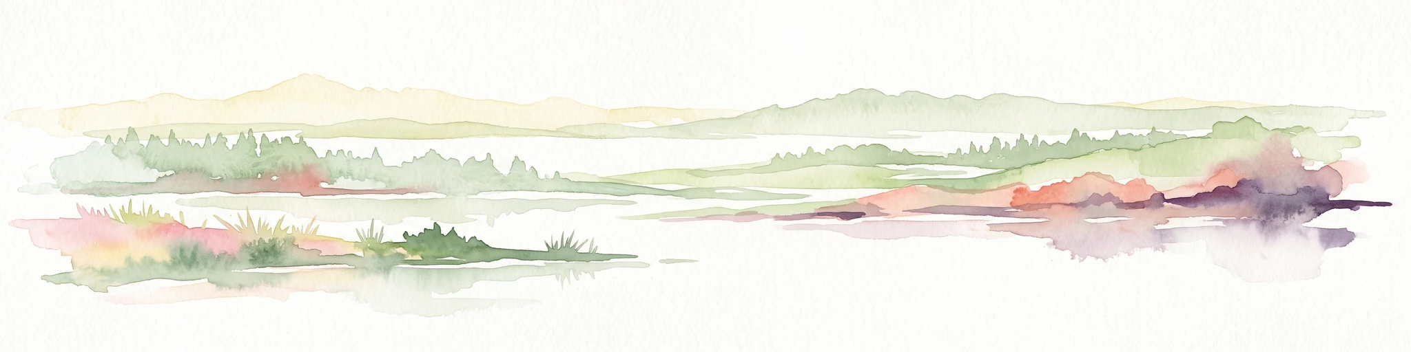
A horizontal watercolor painting showing rolling green hills, a forest line, and faint pinkish mountains in the distance against a white background.
Nature reserveLombardia
About 23 km away#1 closest

South

Riserva naturale Valle Bova: An Atlas Guide to Lombardia's Protected River Valley

Karst geology, gorge terrain, and pre-Alpine forest ecosystems

This protected area centers on the Bova stream valley, a significant geological enclave featuring the Buco del Piombo cave and the Orrido di Caino fissure. The reserve terrain demonstrates the complex relationship between northern Italian river systems and pre-Alpine mountain slopes, providing a distinct geographic profile for hikers and regional researchers alike.

Area
3.91 km²
Established
2007
IUCN
IV
Relief
Upland
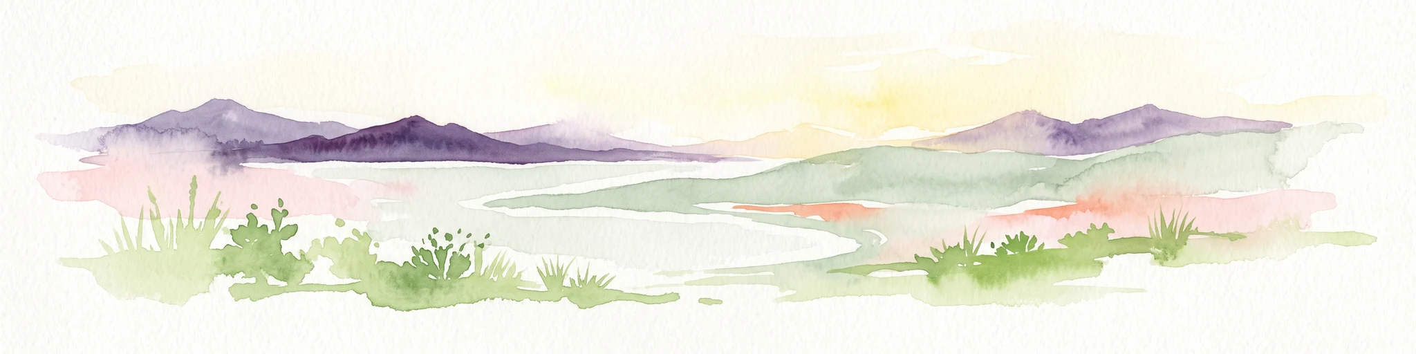
A soft watercolor illustration of a green alpine valley with distant mountains in light yellow and purple tones.
Regional parkCanton of Graubünden
23 km away#2 closest

Naturpark Calancatal: Protected Alpine Valleys and Mountain Geography in Graubünden

Mapping regional landscapes and mountain terrain in Southern Switzerland

Spanning 13,900 hectares, Naturpark Calancatal protects a near-entire alpine side valley defined by the Calancasca stream. From high glacier-fed headwaters to Mediterranean-influenced gorges, the park offers a unique look at the diverse mountain terrain, alpine pastures, and protected forests within the Canton of Graubünden.

Area
139.21 km²
Established
2024
Relief
Mountain
Climate
Alpine
Watercolor illustration showing green mountains, forests, a river, and snow-capped peaks in the distance
National parkPiedmont
40 km away#3 closest

West

Val Grande National Park: National Park Protected Landscape in Piedmont

Explore its mapped boundaries and regional geographic context.

Val Grande National Park represents a key protected landscape within the Piedmont region of northwest Italy. This canonical page offers detailed insights into the park's designated status as a national park, its specific geographic placement, and its mapped protected boundaries. Users can navigate its atlas-level details to understand its role in the regional geography and conservation landscape, providing a structured foundation for further discovery of Italy's natural protected areas.

Area
170.21 km²
Established
1992
IUCN
II
Relief
Mountain
Nature reserveLombardia
About 44 km away#4 closest

Northeast

Val di Mello Nature Reserve: Mapping the Granitic Geography of the Italian Alps in Lombardia

A study of protected vertical relief, glacial cirques, and Alpine terrain.

Val di Mello offers a profound look at high-altitude Alpine geography, characterized by its immense, light-colored granitic walls and deeply carved tributary valleys. This protected nature reserve acts as a gateway to the broader mountainous terrain of the Lombardia region, showcasing the geological evolution of the Italian Alps through its steep gullies, high summits, and expansive valley floor.

Established
2009
Relief
Mountain
Access
Moderate access
Scope
Terrestrial
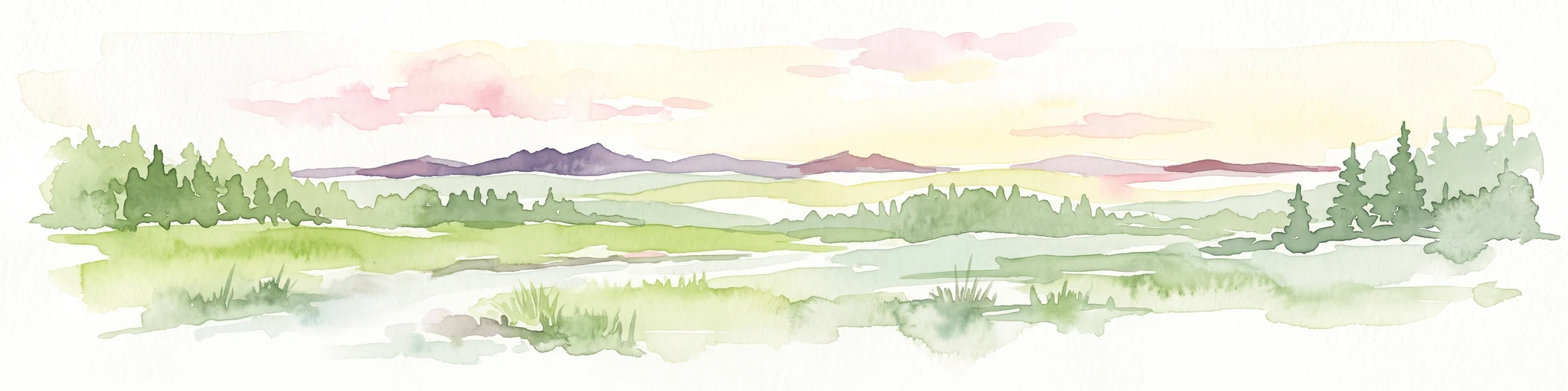
Watercolor painting of a meandering river flowing through a lush green valley with distant hills and foreground grasses.
Nature reserveCanton Ticino
About 47 km away#5 closest

Northwest

Auenschutzgebiet Maggia: Protected Floodplain Geography and Alpine River Dynamics

Nature reserve located within the Canton Ticino, Switzerland

Investigate the natural topography of Auenschutzgebiet Maggia, a protected floodplain system spanning thirteen kilometers through the Lepontine Alps. This reserve provides a detailed look at how alpine hydrology maintains a diverse mosaic of gravel islands, wet meadows, and riparian forests in a high-energy mountainous environment.

Regional parkGraubünden
51 km away#6 closest

North

Naturpark Beverin: Exploring Alpine Gorges and Cultural Landscapes in Graubünden

A regional nature park shaped by high alpine ridges and ancient settlement traditions.

Naturpark Beverin encompasses a vast, multi-layered environment in the Swiss Alps. The area is defined by the sharp vertical contrast between carved river gorges like the Viamala and high-elevation ridges. Beyond the rugged mountain terrain, this protected landscape preserves centuries of pastoral history through the distinct settlement traditions of its Romanesque and Walser valleys.

Area
515 km²
Established
2013
Relief
Mountain
Climate
Alpine
A horizontal watercolor illustration showing stylized, overlapping mountain ridges in shades of soft green, pink, and yellow against a white background.
Natural monumentGraubünden
About 64 km away#7 closest

Northeast

Roseggletscher Natural Monument: Alpine Glacier Geography and Proglacial Lake Mapping

Protected landscape data for the Bernina range in Graubünden.

Examine the geographic boundaries and terrain of the Roseggletscher, a protected natural monument situated in the upper Val Roseg. This record captures its glacial extent, the emergence of the Lej da Vadret proglacial lake, and its role within the wider Bernina glacier ensemble of southeastern Switzerland.

Area
6.38 km²
Relief
Mountain
Climate
Alpine
Access
Moderate access
A minimalist watercolor painting depicting a winding river through a flat alpine valley surrounded by gentle mountain ridges.
Nature reserveGraubünden
About 65 km away#8 closest

North

Aue Plaun la Greina Nature Reserve: Geography and Mapped Landscape Context

A protected high-alpine floodplain in the Swiss canton of Graubünden.

Aue Plaun la Greina sits within a high plateau between three major Adula mountain massifs, defined by its braided river channels, glacial moraines, and sensitive alpine mire habitats. The reserve protects a unique ecosystem that survives in a harsh, tundra-like climate at the heart of the European watershed, representing a major achievement in regional landscape preservation and geological study.

Area
0.39 km²
Established
1992
IUCN
IV
Relief
Mountain
A horizontal watercolor painting depicting a soft-focus mountain landscape with green rolling hills in the foreground and pale yellow mountain silhouettes in the distance.
Protected landscapeGraubünden
About 67 km away#9 closest

North

Greina, Piz Medel: Exploring the Geography of a Swiss Protected Landscape

High-alpine plateau, glacier forelands, and mountain peaks.

The Greina, Piz Medel protected area is defined by the contrast between its broad, level plateau and the surrounding ring of summits in the Adula Alps. This high-altitude region holds nationally important floodplains, diverse dry meadows, and active glacial basins that cross the European watershed, providing a profound study in alpine terrain and environmental conservation.

Area
150 km²
Established
1996
Relief
Mountain
Climate
Alpine
A horizontal watercolor illustration depicting soft, rolling green hills and distant mountain ridgelines against a pale yellow sky.
Nature reserveLombardia
73 km away#10 closest

East

Riserva naturale Boschi del Giovetto di Paline: Protected Forest and Mountain Geography

A mapped nature reserve across Lombardy mountain slopes

Situated between the provinces of Bergamo and Brescia, this nature reserve offers a detailed look at old-growth coniferous woodlands and subalpine pasture management. The site serves as a vital ecological bridge within the Orobic Prealps, defined by its steep altitudinal transition, glacial landforms, and the distinctive dome-shaped ant colonies that shape the local forest ecology.

Area
5.97 km²
Established
1985
IUCN
IV
A soft watercolor illustration depicting rolling green hills, a small winding river, and a light-filled sky, set against a white background.
Nature reservePiemonte
About 73 km away#11 closest

West

Riserva speciale del Sacro Monte di Varallo: Nature Reserve and Woodland Geography

Exploring the protected boundaries and forest terrain in Piemonte

Riserva speciale del Sacro Monte di Varallo is a compact nature reserve in the Piedmont region, distinguished by its Renaissance-inspired woodland and elevation above the Valsesia valley. This protected landscape combines ecological richness with historic chapel architecture, offering a study in the intersection of natural terrain, cultural heritage, and Alpine foothill geography.

Area
0.217 km²
Established
1990
IUCN
V
Relief
Upland
Watercolor illustration of a panoramic mountain landscape with soft green hills, rolling ridgelines in shades of pink and purple, and small patches of blue water in the foreground.
Regional parkCanton of Graubünden
About 73 km away#12 closest

Northeast

Parc Ela: Regional Nature Park and Alpine Geography in the Canton of Graubünden

A vertical protected landscape in the Swiss Alpine arc.

Parc Ela encompasses a remarkable span of Swiss Alpine geography, protecting everything from low-lying forested gorges at seven hundred meters to high-altitude peaks over three thousand meters. The park serves as a vital refuge for threatened insect species and large alpine mammals, while preserving the linguistic and architectural heritage of the Albula and Oberhalbstein valleys. Explore the mapped terrain where paleontological treasures meet historic trade routes.

Area
659 km²
Established
2012
Relief
Mountain
Climate
Alpine
A soft watercolor painting of a river winding through a valley with green trees, grassy plains, and distant purple hills against a white background.
Nature reserveGraubünden
About 81 km away#13 closest

Northeast

Naturschutzgebiet Isla Glischa-Arvins-Seglias Nature Reserve in Graubünden

Mapped alluvial terrain and alpine river geography

Situated in the broad valley floor of the Upper Engadin, this nature reserve protects one of the most significant alpine floodplain zones in the Swiss canton of Graubünden. The area features a complex network of river channels, gravel lakes, and marshes that are currently undergoing active revitalization to restore natural riverine processes and support rare riparian ecosystems.

Area
0.867 km²
Established
1992
IUCN
IV
Relief
Upland
Watercolor painting of a green landscape with rolling hills, meadows, and a water body in the foreground against a light background.
Protected areaSwitzerland
83 km away#14 closest

Northwest

Rhonegletschervorfeld Protected Area: Alpine Glacier Geography and Mapping

Proglacial landscape and glacial history in the Swiss Alps.

The Rhonegletschervorfeld provides an unparalleled view into the geomorphology of the Swiss Alps, showcasing a continuous record of ice loss through moraines, exposed bedrock, and emerging meltwater systems. Situated near the Furka Pass, this protected area serves as an essential reference for glaciology, offering a clear visual timeline of glacier retreat that has shaped modern alpine tourism and climate science. Explore the mapped terrain where the Rhone River headwaters emerge from the retreating ice.

Area
13.58 km²
Relief
Mountain
Climate
Alpine
Access
Easy access
A watercolor illustration of a soft, rolling alpine landscape with a winding path and distant mountain peaks against a pale yellow sky.
Regional parkValais
About 83 km away#15 closest

Northwest

Landschaftspark Binntal: Alpine Geography and Regional Protected Area in Valais, Switzerland

Mapping deep mountain valleys and glacial alpine terrain

Landschaftspark Binntal serves as a vital protected area in the Valais Alps, showcasing a vertical sequence of ecosystems from river gorges to 3000 meter peaks. The park preserves a living cultural landscape alongside significant mineralogical heritage, offering a detailed view into the high-altitude geography and remote valleys that define this distinctive corner of the Swiss mountain landscape.

Area
180 km²
Established
2008
Relief
Mountain
Climate
Alpine
A soft watercolor painting depicting a wide river flowing through a green floodplain with distant mountains in the background.
Nature reserveGraubünden
About 86 km away#16 closest

North

Naturschutzgebiet Rhäzünser Rheinauen: Protected River Landscape and Floodplain Geography

Graubünden Alpine floodplain and alluvial river system

Located in the Swiss canton of Graubünden, Naturschutzgebiet Rhäzünser Rheinauen encompasses 157 hectares of rare, free-flowing river landscape. This protected area supports a diverse succession of plant communities, ranging from pioneer species on shifting gravel bars to mature softwood and hardwood floodplain forests, framed by the dramatic mountain terrain of the Hinterrhein valley.

Area
1.569 km²
Established
1992
IUCN
IV
Relief
Mountain
A soft watercolor painting of a panoramic landscape featuring a marshy fen area in the foreground with distant mountain ranges in the background, rendered in pastel greens, purples, and yellows.
Nature reserveBern
About 87 km away#17 closest

Northwest

Chessibidmer Nature Reserve: Glacial Granite and Protected Alpine Moorland Landscapes

Protected alpine bog and granite terrace in the Bernese Oberland

Chessibidmer offers a detailed look at a nationally significant flat bog and moorland landscape situated above the upper Aare valley in the Bernese Oberland. The area provides an exceptional map of glacial geomorphology, featuring granite domes, rock-bound tarns, and successional peatlands that sit as a protected mosaic within the surrounding high-alpine terrain of the Swiss Alps.

Area
0.5 km²
Established
1998
IUCN
IV
Relief
Mountain
Watercolor painting of soft, rolling alpine terrain, green vegetation, and distant purple-toned mountains under a pale sky.
Nature reserveBern
About 88 km away#18 closest

Northwest

Naturschutzgebiet Mederlouwenen: Alpine Moor and Protected Glacial Terrain in the Bernese Oberland

A high-elevation nature reserve featuring rare flat-moor vegetation and peat-forming bogs.

Naturschutzgebiet Mederlouwenen occupies a distinctive series of glacial granite terraces in the Bernese Oberland, where high-altitude slope bogs and relict conifer forests create a vital refuge for rare alpine flora. This protected area stands as a primary example of Swiss mountain ecology, blending ancient geological history with the fragile, moisture-dependent ecosystems found at the head of the Aare valley.

Area
0.053 km²
Established
2004
IUCN
IV
Relief
Mountain
Nature reserveLombardia
About 89 km away#19 closest

South

Riserva naturale garzaia di Porta Chiossa: Protected Woodland and Heronry in Lombardia

Historic lowland forest and bird sanctuary geography

Located in the heart of the Po Plain, this nature reserve maintains an essential mosaic of wet woodland and riverine trees. Explore the boundaries of this ecological sanctuary, which remains one of the few surviving sections of the ancient Visconti hunting grounds, offering a unique window into the natural history of the Lombardy region.

Area
0.8 km²
Established
1984
IUCN
IV
National parkGraubünden
91 km away#20 closest

Northeast

Swiss National Park: Geographic Context and Protected Alpine Wilderness in Graubünden

A comprehensive look at the Engadin valley's premier wilderness sanctuary

Spanning over 170 square kilometers in the canton of Graubünden, the Swiss National Park offers an unparalleled example of a strictly protected Alpine ecosystem. This atlas profile details the park's distinct topography, from the subalpine pine forests near the Ofenpass to the delicate karst lake basins at Macun, providing a deep look into its history as a central reference site for wilderness restoration and geological research.

Area
170.3 km²
Established
1914
IUCN
Ia
Relief
Mountain
Distance methodology

Geographic measurements, not driving distances

How nearby park distances are calculated

Distances use park boundaries whenever the available geometry allows it. When one or both boundaries are missing, the mapped park locations provide a clearly labelled estimate. Every value represents straight-line geographic separation and does not use roads or routing.

Boundary distance

Calculated between the nearest points of both park boundaries.

Location-to-boundary estimate

Estimated from one mapped park location to the nearest boundary of the other park.

Mapped-location estimate

Estimated between the mapped locations of both parks.

MoriAtlas Explorer

Explore the Protected Geography and Glacial Landscapes of Lago di Piano

Continue your geographic discovery by tracing the unique wetland boundaries and glacial features of Lago di Piano. MoriAtlas provides a clear look at how this protected nature reserve integrates with the surrounding Lombardy terrain and pre-Alpine valleys, offering deep insights into its natural history and landscape context.