Mori Atlas logo
Nearby park discovery

Map-based regional geography and protected land context near the Mahale Mountains.

Parks near Mahale Mountains National Park

Compare protected areas near Mahale Mountains National Park, ordered by geographic distance. They include Katavi and Gombe.

Related tags

chimpanzee sanctuaryLake Tanganyikamountain foresteastern chimpanzeesprimate conservation

Chimpanzee sanctuary on Lake Tanganyika's eastern shore

Mahale Mountains National Park

Mahale Mountains National Park is a remote and ecologically significant protected area located on the eastern shoreline of Lake Tanganyika in the Kigoma Region of Tanzania. The park encompasses the Mahale Mountains range, a dramatic chain of forested peaks rising sharply from the lakeshore, creating a unique landscape where mountainous terrain meets one of Africa's greatest freshwater lakes. Established in 1985 and spanning approximately 1,650 square kilometers, the park is renowned for harboring the largest known population of eastern chimpanzees in the world, making it one of the most important primate conservation areas on the continent. Unlike most African parks, Mahale remains fundamentally inaccessible by vehicle, with visitors entering and exploring exclusively by boat and foot, preserving an exceptional wilderness character that distinguishes it from more developed tourism destinations.

Location
Tanzania
Park type
National park
Established
1985
Area
1,650 km²
Mahale Mountains National Park Protected Landscape
Regional park map

See the ranked park cluster in its geographic setting

Nearby parks around Mahale Mountains National Park

This regional map shows the same 18 nearby parks ranked below around Mahale Mountains National Park. Select a ranked marker to highlight that park’s boundary where boundary data is available.
Reference park: Mahale Mountains National ParkRanked nearby parkSelected boundary: Mahale Mountains National Park18 nearby parks shown
18 nearby parks

Distance-ranked collection and regional park geography for comparative analysis

Parks and Protected Areas Geographically Near Mahale Mountains National Park

Examine the ranked collection of protected areas situated near Mahale Mountains National Park through geographic separation and direction metrics. These structured comparison signals reveal surrounding landscape patterns and regional conservation contexts across the territory.
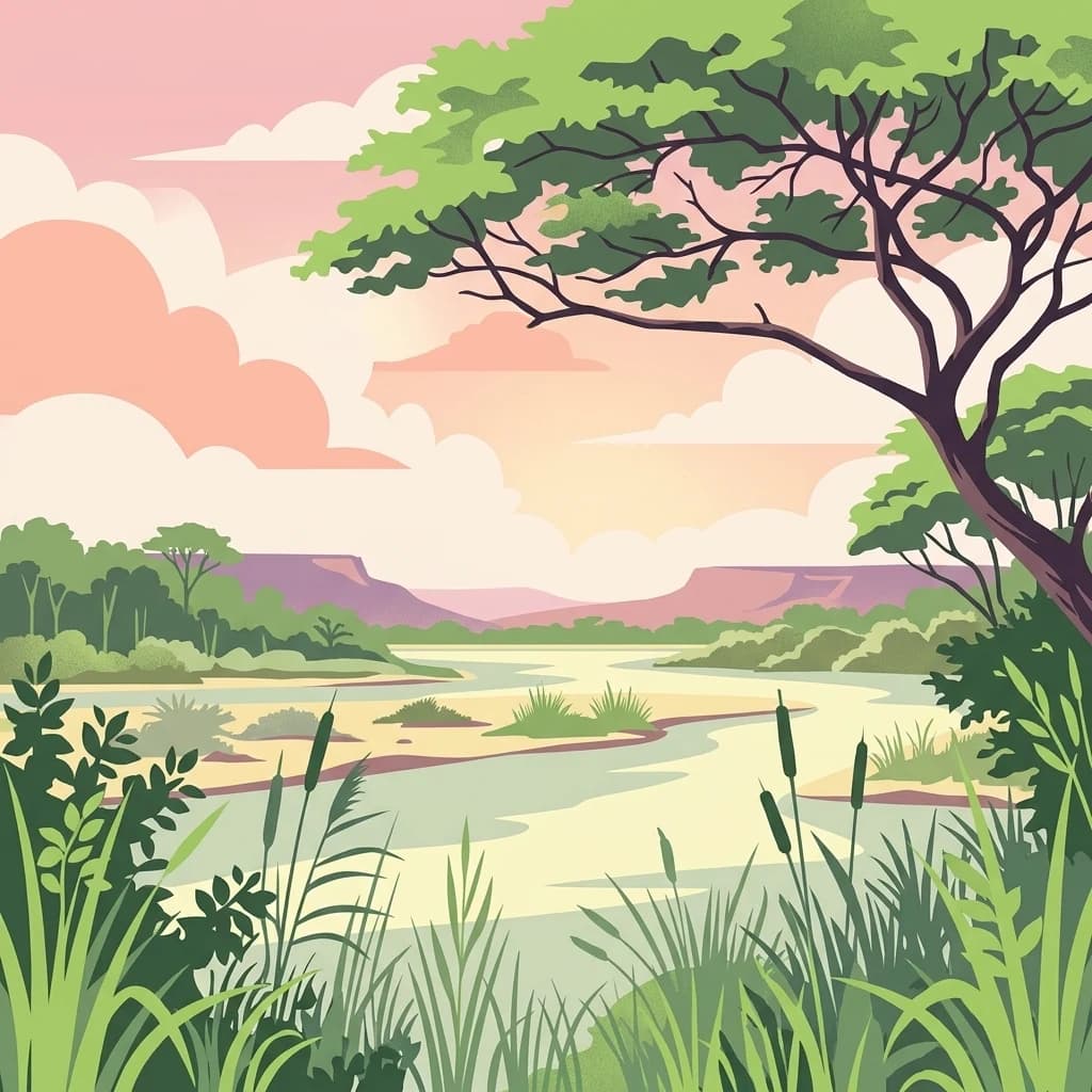
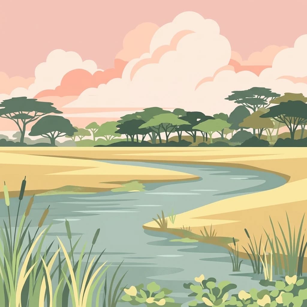
A stylized digital illustration of a wide river flowing through a golden savanna with scattered acacia trees and a pink sunset sky.
National parkKatavi Region
About 136 km away#1 closest

Southeast

Katavi National Park

Explore its unique floodplains, seasonal wetlands, and wildlife spectacles.

Katavi National Park, in Katavi Region, Tanzania. Landscapes: wetlands, lakes, and rivers.

Area
4,471 km²
Established
1974
IUCN
II
Visitors
1.5K annual
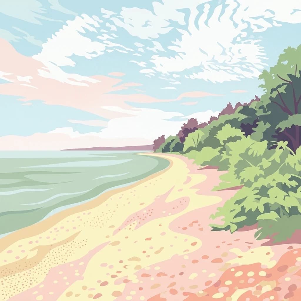
A stylized illustration showing a sandy beach bordering the edge of a forest, with a calm lake stretching toward the horizon under a soft, cloudy sky.
National parkTanzania
About 150 km away#2 closest

North

Gombe Stream National Park: Tanzania National Park Mapped Boundaries and Geography

Explore protected landscape identity and regional context.

Gombe Stream National Park is a vital protected area offering a specific geographic focus for atlas-based discovery. Users can examine its mapped boundaries and understand its position within Tanzania's diverse regional geography. This page serves as a canonical entry for comprehending the park's identity as a national park and its contribution to the conservation landscape data, providing essential context for geographic exploration.

National parkTabora Region
About 205 km away#3 closest

East

Ugalla River National Park: A Tanzania National Park for Geographic Discovery

Explore protected area boundaries and regional landscape context.

Ugalla River National Park serves as a key protected area within Tanzania, specifically situated in the Tabora Region. This page provides essential geographic context, detailing its mapped boundaries and its significance as a national park. It’s designed for users seeking structured information about protected landscapes and their placement within regional geography, offering a factual basis for atlas exploration.

Area
3,865 km²
Established
2019
IUCN
II
Relief
Upland
National parkNorthern Province
221 km away#4 closest

South

Mweru Wantipa National Park: National Park in Northern Province, Zambia

Discover mapped boundaries and regional geography

Delve into Mweru Wantipa National Park, a protected national park located in Zambia's Northern Province. This entry provides detailed geographic context, focusing on the park's mapped boundaries and its role as a protected landscape. Understand its position within regional geography and explore its contribution to the broader atlas of natural areas.

IUCN
II
Relief
Lowland
Climate
Tropical
Access
Highly restricted
National parkZambia
232 km away#5 closest

South

Nsumbu National Park: Zambia's Lakeside Protected Landscape, Map Atlas, and Geographic Context

Mapped terrain and unique shoreline geography.

Nsumbu National Park stands as a vital protected landscape in Zambia, defined by its prominent position on Lake Tanganyika. The park's approximately 2,026 square kilometers showcase a dramatic geographic interplay between terrestrial environments, including miombo woodlands and rare Itigi-Sumbu thicket, and the vast aquatic expanse of the lake. Users exploring this atlas entry will find detailed information on the park's mapped boundaries, distinctive shoreline features like rocky cliffs and sandy beaches, and its overall role in the regional geography of Southern Africa.

Area
2,026 km²
Established
1985
IUCN
II
Relief
Lowland
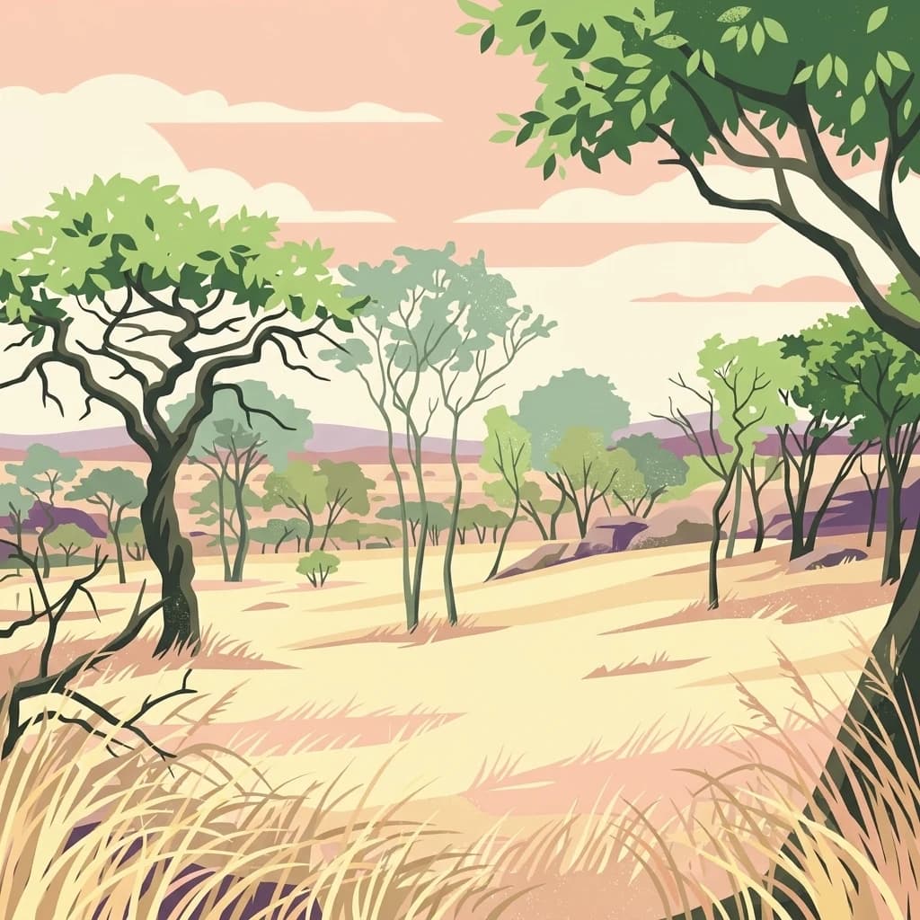
A stylized illustration of a dry savanna landscape with scattered acacia trees and tall grasses under a soft sunset sky.
National parkBurundi
292 km away#6 closest

North

Ruvubu National Park: A National Park in Burundi Focused on Protected Landscape Geography

Explore the mapped boundaries and regional context of Ruvubu.

Investigate Ruvubu National Park, a protected natural area in Burundi, and understand its geographic significance. This page serves as a detailed atlas entry, highlighting the park's mapped extent and its contribution to the regional landscape of East Africa. Explore the protected-area context and geographical features that define Ruvubu National Park for discovery and analysis.

Area
508 km²
Established
1980
IUCN
II
Relief
Mixed relief
Nature reserveTanzania
About 309 km away#7 closest

Northeast

Kigosi National Park Nature Reserve: Mapped Boundaries and Geographic Identity in Tanzania

Explore the protected landscape and regional context of this Tanzanian reserve.

Kigosi National Park in Tanzania is a designated nature reserve, offering a key point for exploring protected landscapes and their geographic placement. This entry details the park's identity as a conservation area, focusing on its mapped boundaries and how it fits within the regional geography of Tanzania. For users interested in atlas exploration, this provides essential context on the park's natural terrain and its standing as a protected natural area.

Area
8,265 km²
Established
2024
IUCN
II
Relief
Lowland
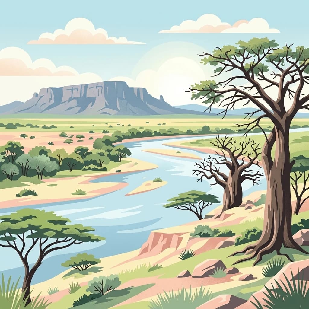
A stylized flat illustration of a river winding through a grassy landscape with a large tree in the foreground, cattails along the banks, and low mountains in the distance under a sunset sky.
National parkBurundi
About 312 km away#8 closest

North

Rusizi National Park: National Park in Burundi's Geographic Landscape Context

Explore mapped protected area boundaries and regional geography.

Rusizi National Park stands as a significant protected area within Burundi, contributing to the nation's conservation atlas. This national park offers a distinct geographic profile, showcasing its specific landscape and terrain features within the East African context. Users can delve into the mapped boundaries of Rusizi National Park to understand its protected status and its role in the regional geography, facilitating detailed geographic discovery.

Area
90 km²
Established
1980
IUCN
II
Climate
Tropical
National parkLuapula Province
About 344 km away#9 closest

South

Lusenga Plain National Park: Zambia National Park Geographic Atlas

Mapped park boundaries and regional landscape context.

Gain a structured understanding of Lusenga Plain National Park, a dedicated national park situated in Zambia's Luapula Province. This resource details the park's geographic dimensions and its placement within the regional landscape, providing essential context for atlas exploration and a mapped view of protected lands.

Area
800 km²
Established
1972
IUCN
II
Relief
Lowland
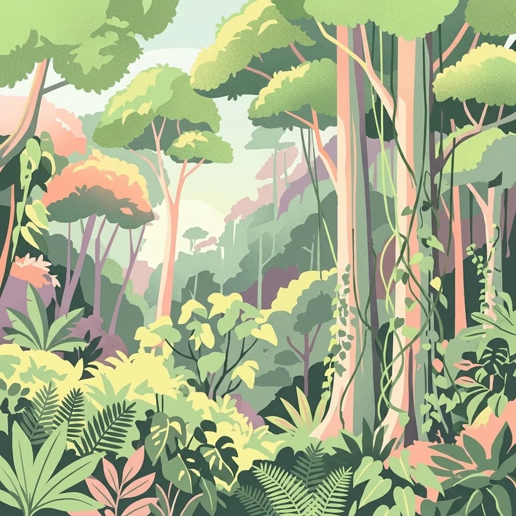
A colorful digital illustration of a dense, multi-layered rainforest with tall trees, hanging vines, and various ferns and tropical plants.
National parkBurundi
About 345 km away#10 closest

North

Kibira National Park: Burundi's Protected National Park Landscape and Geography

Mapped protected area within the Great Rift Valley region.

Kibira National Park represents a vital protected national park entity within Burundi's diverse geography. As part of the Great Rift Valley's expanse, its mapped boundaries and landscape identity offer a focal point for understanding regional protected areas. This park's presence in Burundi contributes essential data to a structured atlas of natural landscapes and conservation lands across East Africa.

Area
400 km²
IUCN
II
Relief
Mountain
Climate
Tropical
National parkDemocratic Republic of the Congo
375 km away#11 closest

Southwest

Upemba National Park: Protected Landscape and Geographic Atlas within the Democratic Republic of the Congo

Explore its mapped boundaries and diverse ecosystems.

Upemba National Park, located in the Democratic Republic of the Congo, is a premier destination for understanding protected landscapes and regional geography. This national park is characterized by its extensive wetlands, lake ecosystems, and mountainous terrain, providing a rich environment for atlas-driven discovery. Its unique geographic context and diverse habitats make it a pivotal site for exploring central African protected areas and their ecological significance.

Area
11,730 km²
Established
1939
IUCN
II
Relief
Mixed relief
A stylized, flat-design illustration of a lush mountain forest scene at sunrise, featuring layered rolling hills, dense tropical vegetation, and mist filling the valley under a pale sky.
National parkRwanda
About 394 km away#12 closest

North

Nyungwe National Park: Rwanda's Protected National Park for Geographic Discovery

Explore its mapped natural landscape and protected terrain.

Nyungwe National Park represents a vital protected area within Rwanda, contributing a unique landscape to the nation's geographic atlas. This national park offers a specific focus for understanding protected lands, their mapped boundaries, and the natural terrain they encompass. By examining Nyungwe National Park, users gain insight into Rwanda's regional geography and the significance of its conservation efforts within the broader context of East African natural landscapes.

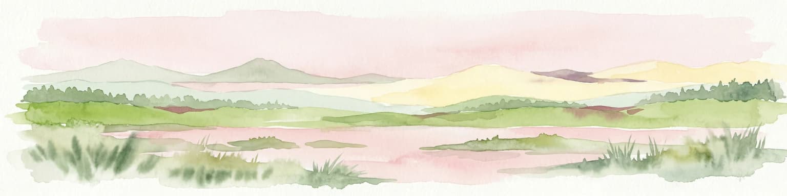
Watercolor illustration of a landscape with mountains, water bodies, and grassy fields
National parkDemocratic Republic of the Congo
About 405 km away#13 closest

North

Kahuzi-Biega National Park

Geographic atlas of the Mitumba Mountains and lowland rainforest transition

Kahuzi-Biega National Park, in Democratic Republic of the Congo. Landscapes: mountains, forests, and wetlands.

Area
6,000 km²
Established
1970
IUCN
II
Relief
Mixed relief
National parkTanzania
420 km away#14 closest

East

Ruaha National Park: Tanzania National Park, Protected Landscape and Geographic Atlas

Mapped boundaries and regional landscape context for Ruaha National Park.

Explore the protected landscape of Ruaha National Park in Tanzania. This page provides detailed mapping of its boundaries and offers insights into its geographic setting. Understand its significance as a national park within the atlas of protected areas, focusing on its natural terrain and regional context without travel logistics.

Area
20,226 km²
Established
1964
IUCN
II
Visitors
21.3K annual
National parkHaut-Katanga Province
420 km away#15 closest

Southwest

Kundelungu National Park National Park: Central Africa's Protected Savanna Landscape

Explore the mapped terrain and dramatic geography of this Haut-Katanga Province protected area.

Kundelungu National Park stands as a significant protected area within the Haut-Katanga Province, offering a deep dive into Central Africa's expansive savanna ecosystems and unique natural landmarks. This national park is defined by its rolling grasslands, dotted with characteristic forest galleries that trace the region's water systems, alongside the awe-inspiring Lofoi Falls. Understanding Kundelungu National Park through its mapped boundaries and geographic context reveals its importance as a protected landscape and a key component of regional conservation efforts within the DRC.

Area
7,600 km²
Established
1970
IUCN
II
Relief
Upland
National parkTanzania
About 429 km away#16 closest

North

Burigi-Chato National Park: Protected Landscape Atlas Entry for Tanzania

Explore the mapped geography and terrain of this Tanzanian national park.

Burigi-Chato National Park serves as a distinct protected area within Tanzania, detailed here for its geographic significance and atlas exploration value. Users can delve into the park's specific landscape characteristics, its protected boundaries, and its regional setting. This content is designed to support a deeper understanding of conservation lands and natural terrain within the East African context, offering a factual entry point for detailed geographic discovery.

Area
4,707 km²
Established
2019
IUCN
II
Relief
Mixed relief
National parkGeita Region
About 455 km away#17 closest

Northeast

Rubondo Island National Park: Tanzanian National Park Geography and Mapped Boundaries

Explore the protected landscape within Geita Region.

Delve into the protected landscape of Rubondo Island National Park, a designated national park situated in Tanzania's Geita Region. This page provides essential geographic context, detailing the park's mapped boundaries and its contribution to the regional atlas. Understanding Rubondo Island National Park involves exploring its specific terrain and its significance as a protected natural area within the broader landscape.

Area
456.8 km²
Established
1965
IUCN
II
Visitors
1.5K annual
A digital illustration showing a lush landscape of rolling green hills, dense patches of trees, and distant ridgelines under a soft, warm-toned sky.
National parkWestern Province
About 474 km away#18 closest

North

Gishwati Forest National Park: Discover Rwanda's Protected Landscape Geography

Mapped protected area boundaries and regional natural landscape.

Gishwati Forest National Park offers a focused exploration of a significant protected natural landscape in Rwanda's Western Province. This resource provides detailed geographic context, highlighting the park's mapped boundaries and its role within the country's conservation areas. Understand its terrain and regional landscape importance through an atlas-centric view.

Area
32.02 km²
Established
2015
IUCN
IV
Relief
Mountain
Distance methodology

Geographic measurements, not driving distances

How nearby park distances are calculated

Distances use park boundaries whenever the available geometry allows it. When one or both boundaries are missing, the mapped park locations provide a clearly labelled estimate. Every value represents straight-line geographic separation and does not use roads or routing.

Boundary distance

Calculated between the nearest points of both park boundaries.

Location-to-boundary estimate

Estimated from one mapped park location to the nearest boundary of the other park.

Mapped-location estimate

Estimated between the mapped locations of both parks.

MoriAtlas Explorer

Mahale Mountains National Park

Explore the map, landscapes, and protection details for Mahale Mountains National Park.