Mori Atlas logo
Nearby park discovery

Mapping the regional landscape and surrounding protected zones near Matobo District

Parks near Matobo National Park

Compare protected areas near Matobo National Park, ordered by geographic distance. They include Hwange and GMTFCA.

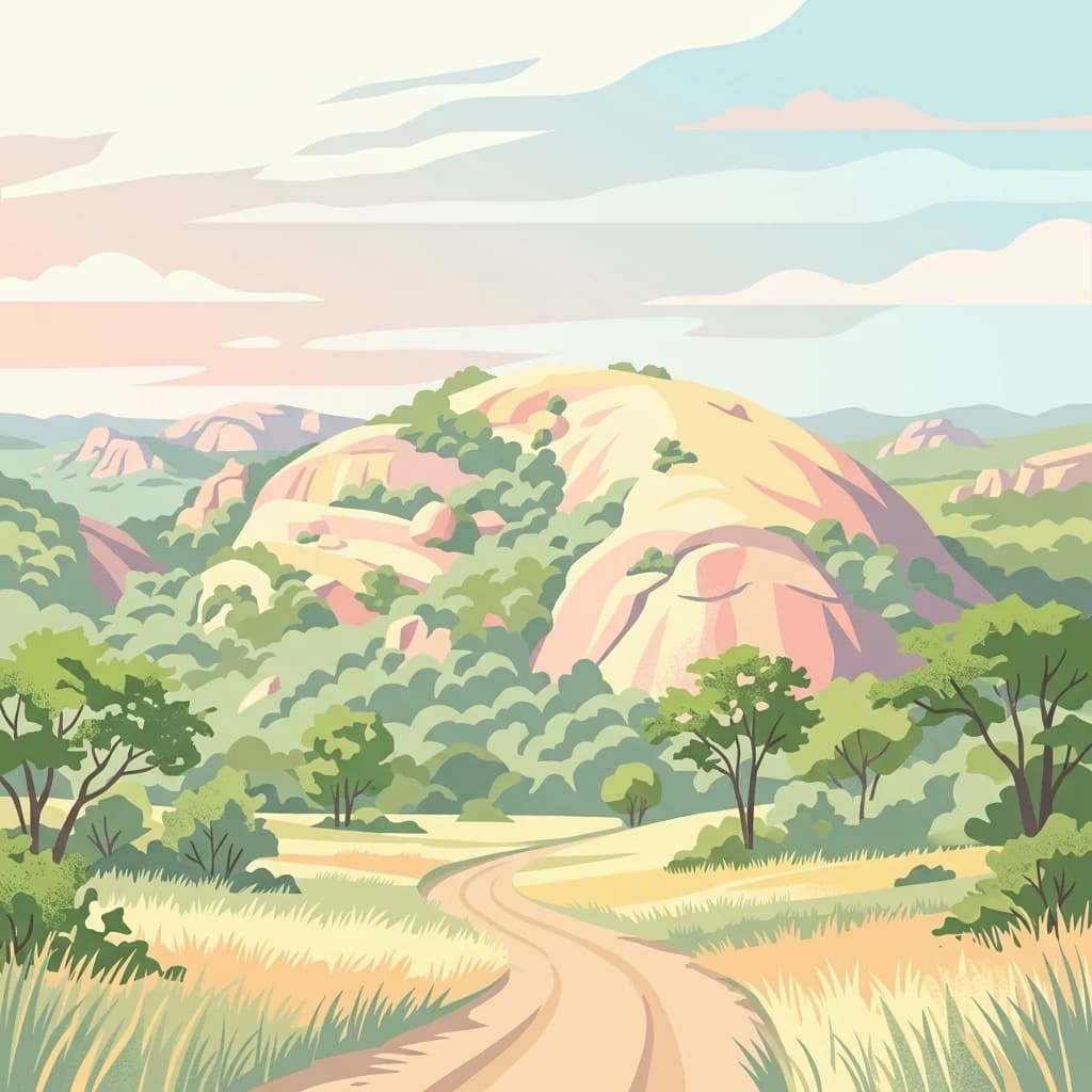
A stylized digital illustration showing a dirt road winding through a savanna landscape toward a large, rounded granite rock formation surrounded by sparse trees under a soft, pale sky.

Ancient granite hills with world-leading wildlife populations and 2,000 years of rock art heritage

Matobo National Park

Matobo National Park forms the core of the Matobo or Matopos Hills, an extraordinary landscape of granite kopjes and wooded valleys situated approximately 35 kilometres south of Bulawayo in southern Zimbabwe. The hills were formed over 2 billion years ago when granite was forced to the surface and has since eroded to produce distinctive smooth whaleback domes and broken rock formations strewn with boulders and interspersed with thicket vegetation. The park covers 424 square kilometres within a larger hills region of about 3,100 square kilometres. Established in 1926, it is Zimbabwe's oldest national park and was designated a UNESCO World Heritage Site in 2003 under the name Matobo Hills. The area holds exceptional ecological significance, particularly as the home of the world's densest leopard population and the highest concentration of black eagles globally.

Location
Zimbabwe
Park type
National park
Established
1926
Area
424 km²
Matobo National Park Atlas and Geography
Regional park map

See the ranked park cluster in its geographic setting

Nearby parks around Matobo National Park

This regional map shows the same 20 nearby parks ranked below around Matobo National Park. Select a ranked marker to highlight that park’s boundary where boundary data is available.
Reference park: Matobo National ParkRanked nearby parkSelected boundary: Matobo National Park20 nearby parks shown
20 nearby parks

Distance-ranked regional geography and surrounding protected landscapes

Parks and Protected Areas Geographically Near Matobo National Park

Geographic proximity measurements organize surrounding protected areas by linear separation from Matobo National Park to enable structured spatial comparison. Regional park geography and recorded environmental traits illustrate broader ecological patterns across the wider conservation landscape.
National parkMatabeleland North
168 km away#1 closest

Northwest

Hwange National Park

National Park with distinct geographic and landscape context.

Hwange National Park, in Matabeleland North, Zimbabwe. Landscapes: forests, woodlands, and grasslands.

Area
14,651 km²
Established
1961
IUCN
II
Relief
Lowland
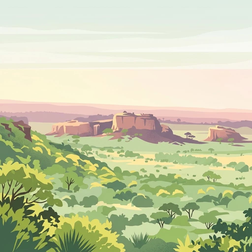
Digital illustration of a savanna landscape with prominent sandstone plateaus and sparse trees under a soft-toned sky.
Protected areaSouth Africa
About 175 km away#2 closest

South

Greater Mapungubwe Transfrontier Conservation Area: A Transboundary Protected Landscape in South Africa

Mapped savanna ecosystems and rich cultural heritage at the Limpopo River confluence.

The Greater Mapungubwe Transfrontier Conservation Area, situated in South Africa, stands as a remarkable example of collaborative conservation across national borders. This protected area protects diverse savanna landscapes, particularly around the confluence of the Shashe and Limpopo Rivers, and holds immense cultural value as home to the Mapungubwe Cultural Landscape, a UNESCO World Heritage Site. By examining its mapped geography and protected area status, users gain insight into the ecological corridors vital for wildlife and the ancient archaeological heritage preserved within this significant transfrontier initiative.

Area
4,872 km²
Established
2009
IUCN
VI
Relief
Upland
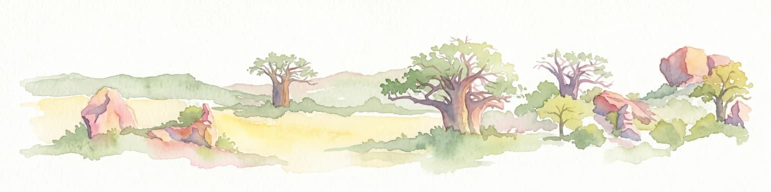
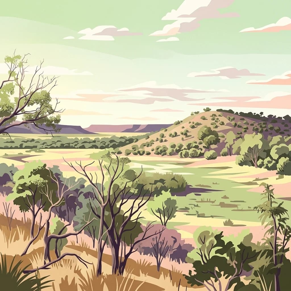
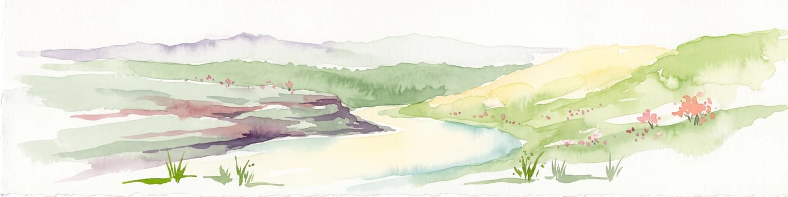
Watercolor illustration of a savanna landscape with scattered trees and rock formations
National parkLimpopo
181 km away#3 closest

South

Mapungubwe National Park

Explore Limpopo's unique protected area at the three-nation border.

Mapungubwe National Park, in Limpopo, South Africa. Landscapes: rivers, woodlands, and wetlands.

Area
280 km²
Established
1998
IUCN
II
Relief
Lowland
Wildlife reserveLimpopo
About 188 km away#4 closest

South

Mapesu Private Game Reserve: Atlas of Protected Landscapes and Savannah Geography

Limpopo Province, South Africa Wildlife Reserve

Mapesu Private Game Reserve serves as a significant conservation entity in South Africa, defined by undulating mopane plains and rocky outcrops. The reserve functions as an ecological extension of the neighbouring Mapungubwe World Heritage Site, safeguarding a mosaic of thirteen distinct plant communities and supporting a rich variety of mammal and avian populations in a remote, protected bushveld setting.

Area
125 km²
Established
2014
Relief
Upland
Climate
Subtropical
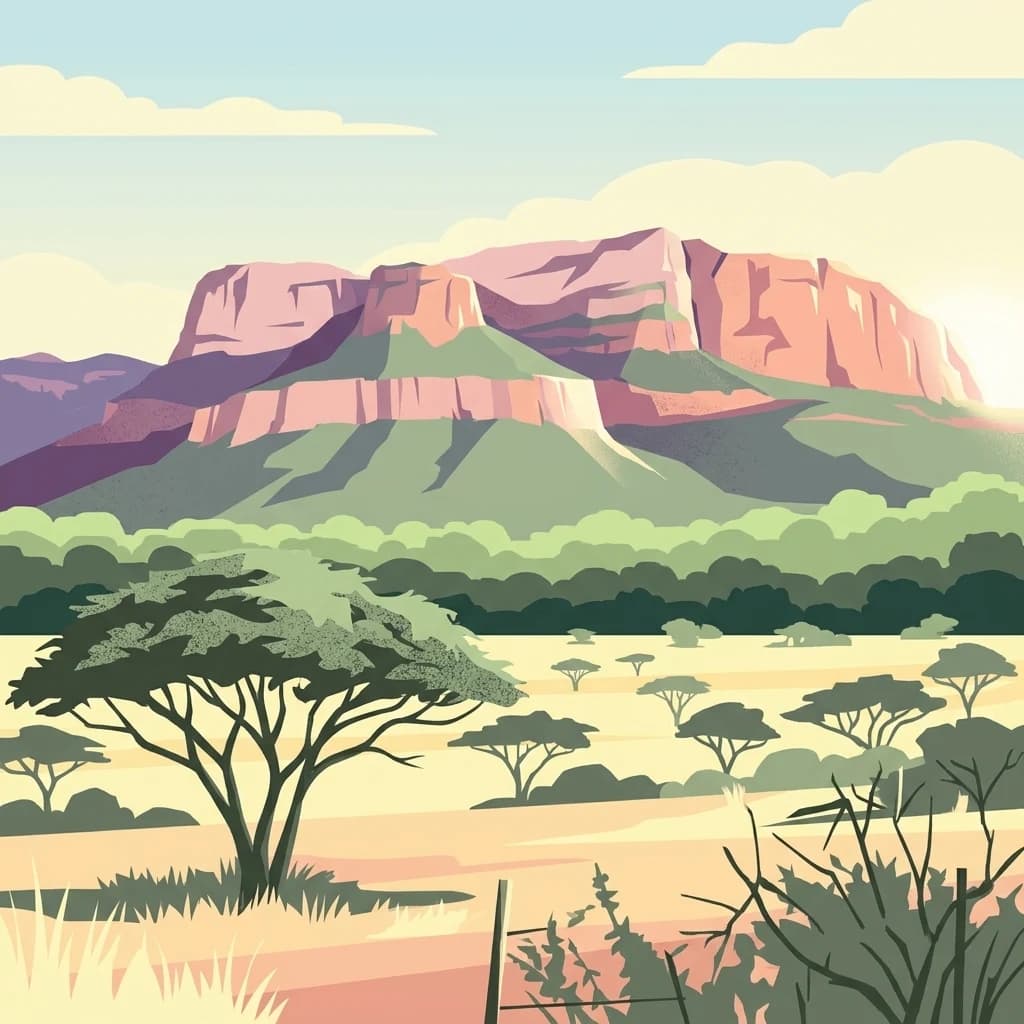
A stylized flat vector illustration of the Blouberg mountain range with a prominent flat topped mountain, surrounded by savanna trees and grasslands under a clear sky.
Nature reserveLimpopo Province
About 269 km away#5 closest

South

Blouberg Nature Reserve: Geographic Map and Protected Landscape Overview in Limpopo, South Africa

Tracing the savanna and mountain transition zones of a northern protected area

Blouberg Nature Reserve offers a distinctive look at the Limpopo landscape, encompassing steep sandstone cliffs, old-growth mountain forest patches, and open baobab-studded plains. This protected area stands as a focal point for understanding the ecological transition between the Soutpansberg range and the Limpopo lowveld. Use this atlas resource to understand the park's internal topography, its specific habitat boundaries, and its regional position as a significant node for raptor conservation in southern Africa.

Area
93.6 km²
Established
1990
Relief
Mountain
Climate
Subtropical
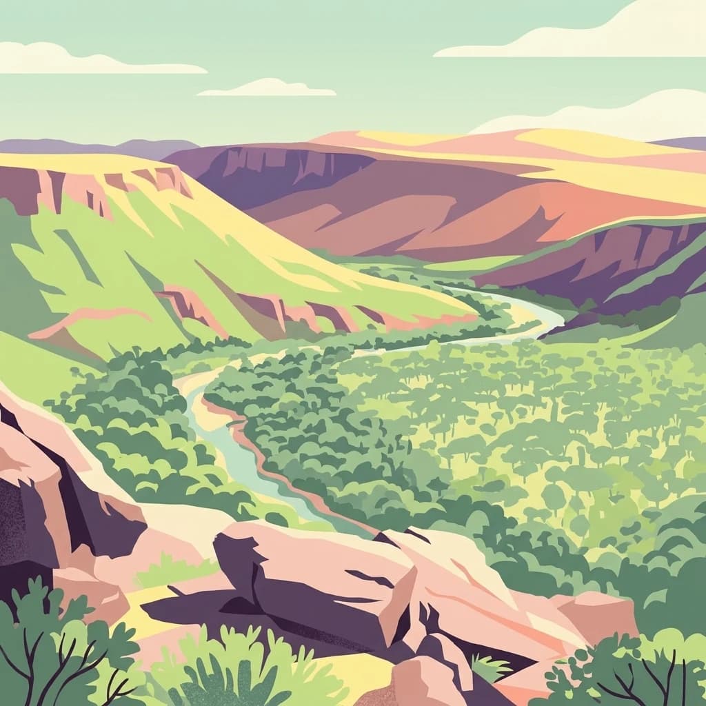
An illustration of a sweeping valley landscape with rocky cliffs, a winding river, and a forest canopy under a clear sky.
Biosphere reserveLimpopo
282 km away#6 closest

South

Waterberg Biosphere: A Protected Sandstone Massif in Limpopo Province South Africa

Geology, mapping, and ecological zones of the Waterberg range

The Waterberg Biosphere stands as a major protected region in South Africa, formed by ancient sandstone layers sculpted into mesas and deep gorges. This massif bridges ecological zones from highland savanna to riverine habitats, anchoring a network of game reserves and wilderness areas through its distinctive geological and historical landscape identity.

Area
6,540.33 km²
Established
2001
Relief
Mountain
Climate
Subtropical
State or regional parkLimpopo
About 283 km away#7 closest

Southeast

Nwanedi Provincial Park: Geography, Protected Landscapes, and Regional Terrain in Limpopo

A study of river confluence and woodland ecosystems in South Africa

Nwanedi Provincial Park sits at the meeting point of the Nwanedi and Luphephe Rivers in the far north of Limpopo province. This protected area features a mosaic of habitats, ranging from mountain foothills and rocky ridgelines to sheltered riverine woodlands. The presence of twin dams provides a consistent water source for the surrounding lowveld, creating a significant ecological intersection that serves as a focal point for regional biodiversity and natural terrain mapping.

Area
111.7 km²
Relief
Mountain
Scope
Terrestrial
Water
Major water bodies
A stylized digital illustration of a vast, hilly African landscape under a pale sunset sky, featuring scattered dry trees, grasslands, and distant escarpments.
National parkZimbabwe
About 290 km away#8 closest

North

Chizarira National Park: Zimbabwe's Remote Protected Landscape on the Zambezi Escarpment

Explore rugged mountains, deep gorges, and unique woodland ecosystems.

Chizarira National Park offers an unparalleled exploration of wilderness and dramatic geography within Zimbabwe. Situated along the imposing Zambezi Escarpment, its landscape is characterized by a 600-meter drop, rugged mountains, and deep river gorges carved by perennial streams. This protected area, known for its remote appeal and rich leopard populations, provides a distinct view of miombo and mopane woodlands, contributing to its unique ecological identity within the regional geography.

Area
2,000 km²
Established
1975
IUCN
II
Relief
Mountain
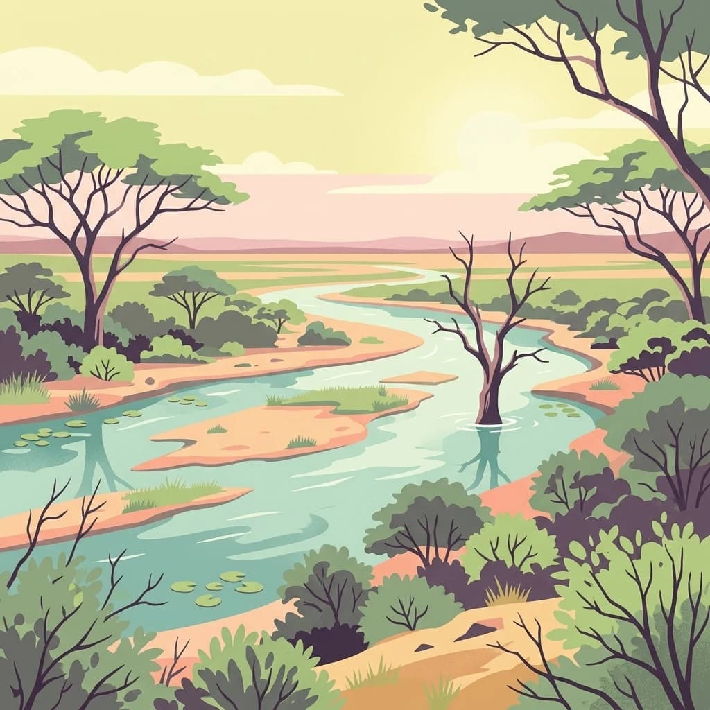
A flat, stylized digital illustration showing a winding river flowing through a savanna with acacia trees and patches of green vegetation under a soft, golden sky.
National parkSouth Africa
307 km away#9 closest

Southeast

Kruger National Park

Explore savanna landscapes and mapped protected area boundaries.

Savanna, riverine forests, and mopane woodlands in South Africa provide habitat for elephants, lions, leopards, rhinos, and buffalo.

Area
19,623 km²
Established
1926
IUCN
II
Visitors
1.7M annual
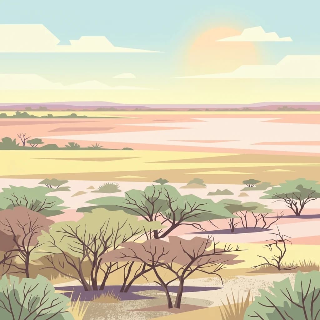
A flat digital illustration of an arid savanna landscape with sparse acacia trees and a wide, pale salt pan stretching toward a horizon under a soft, setting sun.
National parkBotswana
About 315 km away#10 closest

West

Makgadikgadi Pans National Park: A Protected Landscape in Botswana's Geographic Atlas

Explore its mapped boundaries and regional natural terrain.

Makgadikgadi Pans National Park is a designated national park in Botswana, contributing significantly to the region's atlas of protected lands. This page details its geographic scope, emphasizing its role as a mapped natural landscape within Southern Africa. Explore the park's unique protected-area identity and understand its place within Botswana's diverse, largely Kalahari Desert-influenced terrain.

Relief
Lowland
Climate
Arid
Scope
Terrestrial
Water
Major water bodies
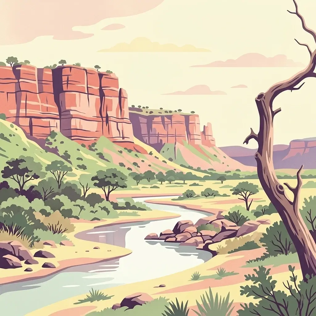
An illustration showing a winding river flowing through a dry landscape below prominent red sandstone cliffs, with a dead tree in the foreground.
National parkMasvingo Province
About 326 km away#11 closest

East

Gonarezhou National Park: National Park Protected Landscape in Masvingo Province

Explore mapped boundaries and regional geography

Gonarezhou National Park represents a significant protected area within the geography of Masvingo Province, Zimbabwe. This page details its specific mapped boundaries and landscape context, offering a focused view for atlas-based exploration. Understand the park's natural terrain and its positioning within the regional protected lands for comprehensive geographic discovery.

Area
5,053 km²
Established
1975
IUCN
II
Relief
Mixed relief
National parkMozambique
334 km away#12 closest

Southeast

Limpopo National Park

Explore its mapped boundaries and transfrontier park significance.

Limpopo National Park, in Mozambique. Landscapes: grasslands, rivers, and lakes.

Area
10,000 km²
Established
2002
IUCN
II
Relief
Lowland
A flat-style digital illustration of several thick-trunked baobab trees with leafless branches standing in a savanna landscape under a soft pink sunset sky.
National parkBotswana
354 km away#13 closest

West

Nxai Pan National Park: Botswana's Iconic Baobab Forests and Salt Pan Landscape

Explore mapped boundaries and unique regional geography.

Nxai Pan National Park offers a compelling glimpse into Botswana's unique semi-arid ecosystems, characterized by the expansive, salt-crusted Nxai Pan itself and the iconic Baines Baobabs dotting its edges. As a protected national park, it represents a significant conservation landscape within the Kalahari Desert region. Understanding its geography involves appreciating the stark visual contrasts, seasonal wetland transformations, and the vast openness of the salt pan environment.

Area
2,578 km²
Established
1992
IUCN
Ib
Relief
Lowland
A soft watercolor painting of a river flowing through a hilly, green valley with distant ridgelines under a pale sky.
Nature reserveLimpopo
About 356 km away#14 closest

South

Lapalala Wilderness Nature Reserve: Geographic Atlas and Park Landscape Mapping

Protected bushveld terrain in the Limpopo province of South Africa

Lapalala Wilderness represents an influential private conservation landscape featuring over forty-eight thousand hectares of bushveld habitat. Gain insight into the reserve's structural diversity, including its sixty kilometers of priority river systems and distinct land types that define this protected territory in Limpopo.

Area
480 km²
Established
1981
Relief
Upland
Climate
Subtropical
National parkZimbabwe
About 367 km away#15 closest

Northwest

Kazuma Pan National Park: Zimbabwe National Park Atlas and Protected Landscape Exploration

Unique plains landscape with reliable dry-season wildlife viewing.

Kazuma Pan National Park offers a rare glimpse into Zimbabwe's expansive grassy plains and vital pans, creating a unique protected landscape. This national park is critical for understanding regional wildlife migrations and the geographic context of conservation areas in northwestern Zimbabwe, providing an essential entry point for atlas-based exploration of its terrain and ecological significance.

Area
313 km²
Established
1975
IUCN
II
Relief
Lowland
National parkZimbabwe
About 377 km away#16 closest

North

Matusadona National Park: Zimbabwe's National Park Landscape Atlas and Geographic Context

Mapped boundaries and regional terrain for Matusadona National Park.

Matusadona National Park presents a vital component of Zimbabwe's protected land inventory. This detail page offers an atlas-centric view, highlighting the park's mapped geographic features and its distinct landscape character. It is designed to facilitate a structured understanding of Matusadona National Park as a specific protected area, providing essential context for regional geography and natural landscape exploration without delving into visitor logistics or park operations.

Area
1,400 km²
Established
1975
Relief
Mixed relief
Climate
Subtropical
A vibrant graphic illustration depicting a massive waterfall flowing over a cliff into a deep canyon with a rainbow arching across the mist. In the foreground, there is a stone-railed observation platform surrounded by trees and lush vegetation.
National parkZimbabwe
379 km away#17 closest

Northwest

Victoria Falls National Park: A Protected Landscape Within Zimbabwe's Geography

Atlas exploration of park boundaries and natural terrain.

Victoria Falls National Park is a key component of Zimbabwe's protected natural areas. This page provides structured information ideal for atlas-based exploration, detailing the park's geographic position and mapped landscape features. Understand its significance as a national park and its contribution to the region's conservation geography.

Area
23.4 km²
IUCN
II
Relief
Mixed relief
Climate
Tropical
Wildlife reserveLimpopo
About 379 km away#18 closest

South

Polokwane Game Reserve: A Comprehensive Geographic Profile of a Limpopo Wildlife Reserve

Mapped boundaries and natural habitat in northern South Africa

Spanning 2,800 hectares of grassy plains and bushveld, Polokwane Game Reserve serves as a critical municipal protected area near the urban core of Polokwane. This geographic overview highlights the reserve's unique eastern ridge flora, its chain of riverine waterholes, and the spatial distribution of its protected landscape within the Limpopo province.

Area
28 km²
Established
1977
Relief
Upland
Climate
Subtropical
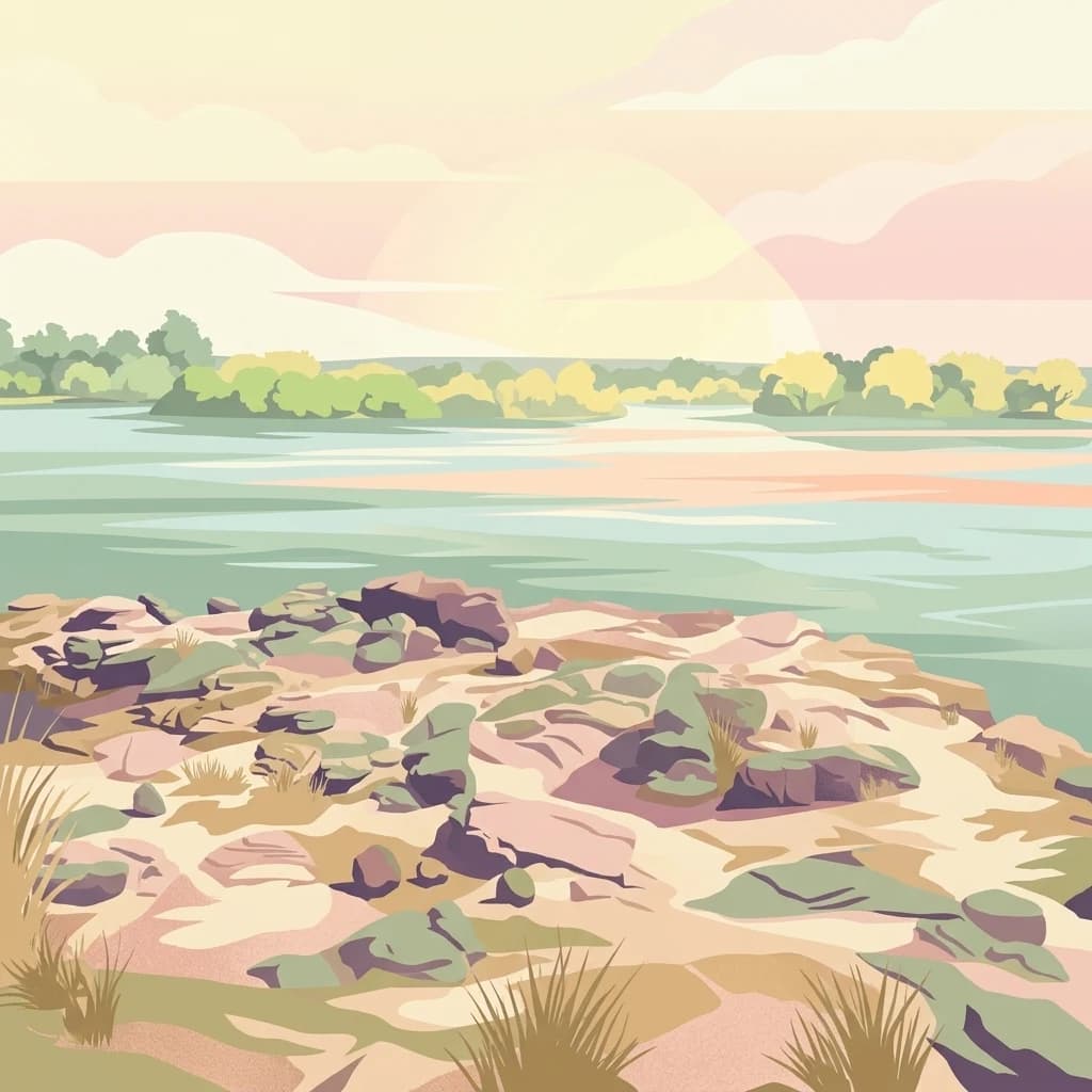
Digital illustration of a calm river scene at dawn or dusk, featuring rocky, grassy riverbanks in the foreground and a calm, wide river flowing toward a treelined horizon under a soft, pastel-colored sky.
National parkSouthern Province
About 394 km away#19 closest

Northwest

Mosi-oa-Tunya National Park

Mapped boundaries and protected landscape context in Southern Province, Zambia.

Mosi-oa-Tunya National Park, in Southern Province, Zambia. Landscapes: forests, woodlands, and grasslands.

Area
66 km²
IUCN
II
Climate
Subtropical
Access
Easy access
Wildlife reserveLimpopo
About 400 km away#20 closest

South

Welgevonden Game Reserve: A Comprehensive Geographic Profile of a Limpopo Wildlife Haven

Mapped terrain across the Waterberg mountain bushveld

Welgevonden Game Reserve stands as a focal point for protected land discovery in South Africa. The reserve features complex geological formations, ranging from steep cliffs to open plateau grasslands. Gain insights into the physical boundaries and landscape diversity that define this significant conservation area located within the northern Limpopo province.

Area
382 km²
Relief
Mountain
Access
Access unknown
Scope
Terrestrial
Distance methodology

Geographic measurements, not driving distances

How nearby park distances are calculated

Distances use park boundaries whenever the available geometry allows it. When one or both boundaries are missing, the mapped park locations provide a clearly labelled estimate. Every value represents straight-line geographic separation and does not use roads or routing.

Boundary distance

Calculated between the nearest points of both park boundaries.

Location-to-boundary estimate

Estimated from one mapped park location to the nearest boundary of the other park.

Mapped-location estimate

Estimated between the mapped locations of both parks.

MoriAtlas Explorer

Matobo National Park

Explore the map, landscapes, and protection details for Matobo National Park.