
National parkIsrael
About 22 km away#1 closest
East

Masada National Park
Discover mapped boundaries and archaeological significance in the Judean Desert.
Masada National Park, in Israel.
- IUCN
- V
- Scope
- Terrestrial
- Water
- Minor water
- Season
- Year-round

Map-based landscape discovery and geographic proximity analysis of surrounding protected areas
Identify protected areas and national parks situated within the geographic vicinity of Tel Arad National Park. This regional mapping provides a clear overview of the natural landscape context and distribution of protected land across the Negev desert and surrounding areas.
Related tags
About Tel Arad National Park
Tel Arad National Park is a protected area in southern Israel that encompasses the archaeological site of Tel Arad, an ancient city with historical significance dating to the Canaanite and Israelite periods. The park preserves both the archaeological remains and the surrounding natural desert landscape of the Negev region. Located in the Hatririm Desert area, the national park offers visitors the opportunity to explore ancient ruins while experiencing the stark beauty of Israel's desert environment.
See the ranked park cluster in its geographic setting
Regional distance rankings and surrounding conservation landscapes
East
Discover mapped boundaries and archaeological significance in the Judean Desert.
Masada National Park, in Israel.
Northeast
Mapped natural terrain and protected landscape context.
Ein Gedi Nature Reserve, in Israel. Landscapes: valleys, rivers, and waterfalls.
West
Discover its geographic context within Israel's natural terrain.
This MoriAtlas detail page for Tel Be'er Sheva National Park provides focused insights into its identity as a protected landscape. Users can explore its specific geographic setting within Israel, understand its mapped boundaries, and gain a clearer appreciation for its natural terrain. The content is designed to support detailed atlas-based discovery, offering a comprehensive view of the park's protected area characteristics and regional geographic significance.
South
Explore exceptionally preserved Nabataean urban architecture and regional geography.
Mamshit National Park offers a rare window into ancient desert urbanism, preserving an exceptionally intact Nabataean caravan city and Byzantine settlement in Israel's Negev Desert. The site showcases unique residential compounds and religious structures, demonstrating sophisticated architectural traditions and water management systems against a backdrop of striking natural terrain. As a vital component of the Incense Road heritage, Mamshit provides rich context for understanding ancient trade, regional geography, and the enduring human adaptation to arid landscapes.

Southeast

Mapped natural terrain and protected area context.
Fifa Nature Reserve represents a distinct protected natural landscape within Jordan. This entry offers users a detailed atlas-style view of the reserve's protected boundaries and its place within the country's geography. Explore the mapped terrain and understand the significance of this nature reserve for structured geographic discovery and protected-area research.

Northwest
Discover unique bell caves and archaeological landscape in the Judean lowlands.
Beit Guvrin-Maresha National Park in Israel presents a unique atlas-style discovery of a landscape defined by ancient human excavation. Explore the vast networks of bell caves, Phoenician necropolises, and Byzantine underground churches carved into the soft limestone hillsides. This protected area offers a compelling journey through millennia of history, revealing the geography and terrain shaped by continuous habitation and burial practices, making it a vital site for understanding regional archaeology and ancient cave systems.
North
Explore its mapped boundaries and geographic terrain.
Herodion National Park stands as a significant protected area within Israel, contributing vital context to the nation's atlas of natural landscapes. This national park designation highlights its role in conservation and offers a unique opportunity to study its specific geography, terrain, and mapped boundaries. By focusing on the park's protected landscape identity, users can gain structured insights into Israel's conservation efforts and regional geographic features, enhancing any atlas exploration.
Northeast
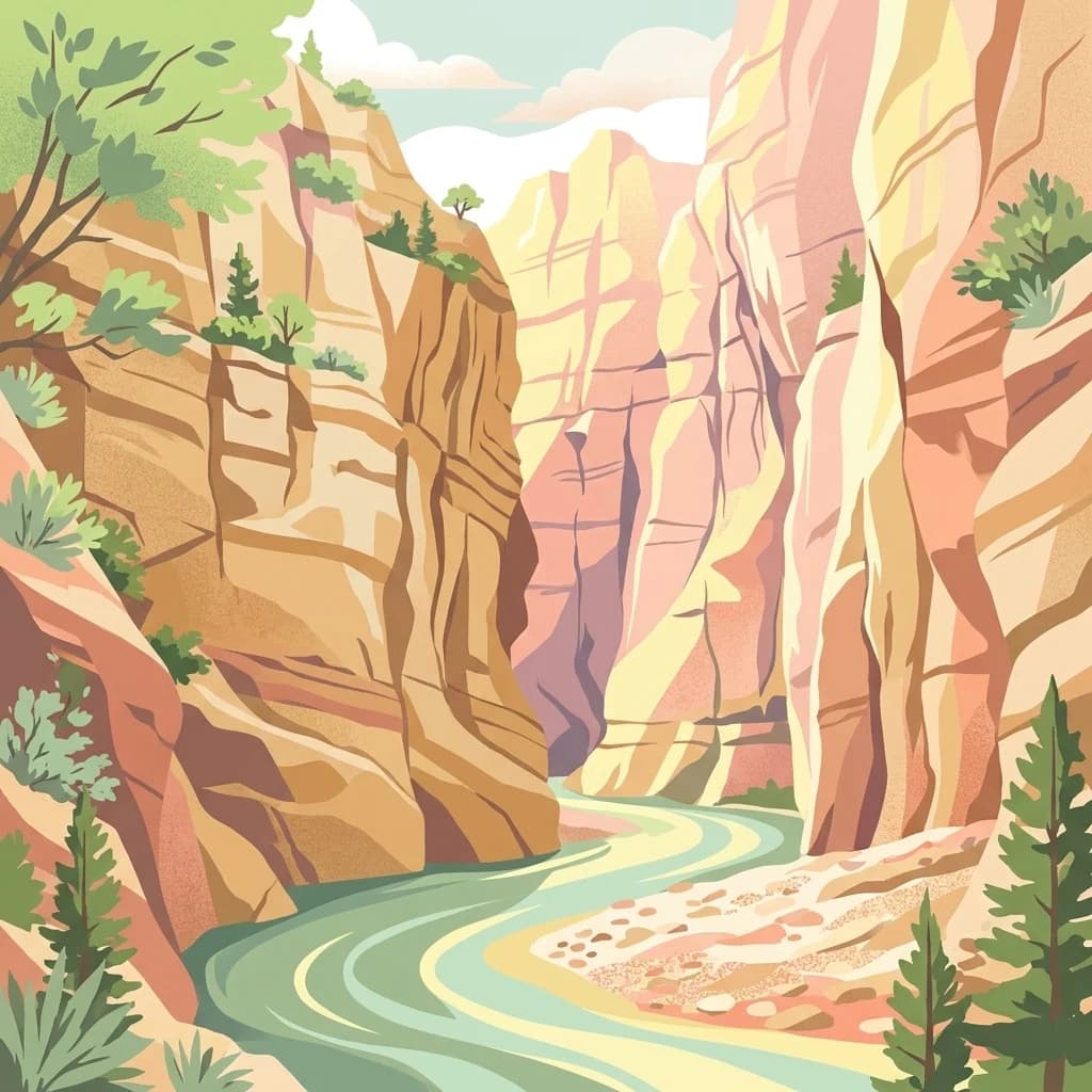
Discover mapped boundaries and arid biodiversity within this unique rift valley gorge.
Wadi Mujib Nature Reserve represents a significant protected landscape in Jordan, celebrated for its deep desert canyon and dramatic slot canyon terrain. Situated in the Dead Sea region, this reserve protects a remarkable range of geography, from its lowest points near the Dead Sea to surrounding mountain terrain. Its status as a UNESCO biosphere reserve highlights its importance for arid biodiversity and its role as a migratory bird flyway, offering a distinct atlas-level discovery of Jordan's natural heritage.

North
Investigate the mapped protected landscape and regional terrain.
Castel National Park represents a key protected area within Israel, focusing on the discovery of its mapped terrain and geographic identity. As a national park, it serves as a crucial entity for understanding regional conservation landscapes and the distribution of protected areas across Israel. This detailed view allows for focused exploration of the park's boundaries and its contribution to the country's natural heritage, offering valuable context for atlas-based geographical inquiry.
North
Discover the natural terrain and park boundaries.
Ein Hemed National Park is a designated national park in Israel, providing valuable insight into its protected natural landscapes and regional geography. This entry focuses on understanding the park's physical setting and its mapped boundaries, essential for atlas-based exploration. Examine the terrain and discover the geographic significance of this protected area within the Israeli context.
Southwest
Explore the Negev Desert's unique memorial terrain.
Ben-Gurion Tomb National Park offers a distinct protected landscape experience in the heart of Israel's Negev Desert. This national park is primarily known as the burial site of David and Paula Ben-Gurion, intentionally situated in the desert overlooking the dramatic Nahal Tzin canyon. The park's approximately 90 dunams feature a carefully designed memorial garden that contrasts with the arid terrain, providing a unique focus for geographic exploration and understanding the site's regional landscape.
Northeast
Mapped terrain and protected landscape identity in Israel.
Delve into Qumran National Park, a significant national park situated in Israel. This detailed exploration focuses on its protected landscape identity, mapped boundaries, and its place within the country's diverse geography. Understand the unique natural context and regional significance of Qumran National Park through an atlas-driven perspective.
West
Mapped protected area featuring Ein HaBesor spring and Besor valley landscapes.
Eshkol National Park showcases a rare desert wetland environment sustained by the significant Ein HaBesor spring in Israel's Northern Negev. This protected natural area offers a distinctive landscape where water nourishes lush vegetation against the backdrop of arid terrain. Beyond its ecological value, the park encompasses archaeological remnants, including the mound of Khirbet Shalala, providing a rich geographical and historical discovery context within the Besor Stream basin.
Southwest
Explore its unique springs, waterfalls, and ancient Nabatean and Byzantine history.
Ein Avdat National Park showcases a rare desert oasis environment, a starkly beautiful protected landscape where natural springs emerge from the Negev's arid terrain. This park is celebrated for its dramatic waterfalls, deep pools, and the preserved remnants of ancient human habitation, including a remarkable Byzantine cave monastery carved directly into the canyon walls. Its geography, shaped by the Nahal Zin wadi, provides a vivid study in desert ecosystems and their capacity for supporting life and history over millennia, making it a key site for understanding landscape context in Israel.
Southwest
Mapped landscape context and protected area details for Avdat National Park.
Avdat National Park represents a distinct protected landscape entity within the atlas of Israel. This resource focuses on the park's geographic identity, its mapped boundaries, and the surrounding natural terrain. Delve into the specific protected-area attributes that define Avdat National Park and understand its contribution to the country's conservation geography, offering a grounded perspective for geographic exploration.
Southwest
Mapped terrain and regional geographic context for Shivta National Park.
Shivta National Park represents a key protected area, offering a focused entry into Israel's broader geographic and landscape atlas. This page provides specific details about the park's identity as a national park, its mapped terrain, and its placement within the regional context of the country. Users can explore the structured information that defines Shivta National Park's role as a protected landscape, contributing to a deeper understanding of its geographic significance and mapped features.
Northwest
Explore mapped ruins, Fatimid walls, and Mediterranean coastal geography.
Ashkelon National Park in Israel offers a unique dive into ancient urban development, preserving layers of history from multiple civilizations along the Mediterranean coast. This protected area features landmark archaeological discoveries, including the Middle Bronze Age gate and extensive Roman ruins, all situated within a distinct coastal landscape. Understanding its mapped boundaries and the progression of its terrain provides critical context for appreciating this significant heritage site's geographic and historical importance.
Northeast
Mapped boundaries and regional natural landscape context.
Qasr el Yahud National Park is a designated protected area in Israel, serving as a crucial site for understanding regional geography and landscape context. This page facilitates detailed exploration of its protected land identity, mapped geographic boundaries, and its place within the natural terrain of the area, offering users a clear view of its atlas significance.
West

Essential protected land data for the Gaza Strip coastal wetland
Wadi Gaza Nature Reserve forms a vital ecological seam within the Gaza Strip, encompassing the active riverbed, floodplain, and vegetated margins of the wadi as it meets the Mediterranean Sea. This protected area supports rare wetland habitats and serves as a major migration flyway for waterbirds, standing as a significant conservation feature within the coastal landscape.
Southeast
Explore protected landscape boundaries and regional context.
Dana Biosphere Reserve, in Jordan. Landscapes: plateaus, valleys, and cliffs.
Geographic measurements, not driving distances
Calculated between the nearest points of both park boundaries.
Estimated from one mapped park location to the nearest boundary of the other park.
Estimated between the mapped locations of both parks.
Deepen your understanding of Tel Arad National Park by examining its protected boundaries and regional geographic context. This destination offers a specific lens through which to explore the mapped landscapes of Israel and the wider Middle East. Continue your atlas exploration to uncover the nuanced natural terrain and protected area significance that define this national park.