Mori Atlas logo
Nearby park discovery

Map-based regional overview of protected areas and wild mountain terrain

Protected Landscapes and Regional Geography Near Terepaima National Park in Venezuela

Identify protected areas and wilderness zones located within the regional context of Terepaima National Park. This geographic overview highlights the distribution of parks across the Andean foothills and surrounding Venezuelan landscapes, assisting with the identification of neighboring areas based on their relative spatial positions and natural characteristics.

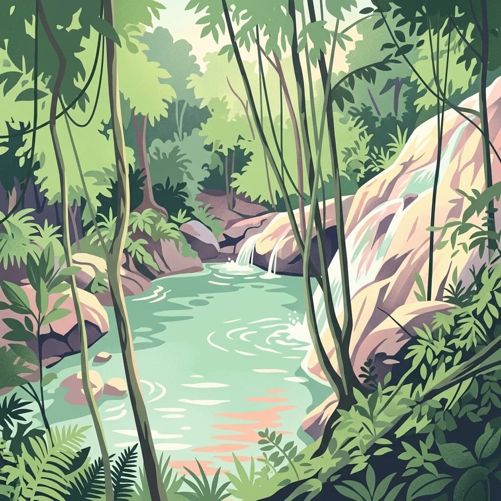
A digital illustration depicting a small, light-green stream flowing over rocks in a tropical forest setting, framed by dangling vines, ferns, and dense green foliage.

A cloud-forest protected area in the Venezuelan Andes

Terepaima National Park

Terepaima National Park is a protected area of significant ecological importance located in the mountainous region of western Venezuela, spanning the border between Lara and Portuguesa States. Established in 1976, the park encompasses approximately 186.5 square kilometers of diverse terrain positioned southeast of Barquisimeto, the capital of Lara State. The park was created specifically to preserve the unique flora and fauna of this Andean foothill environment, which represents one of the more accessible cloud forest ecosystems in northern Venezuela. The area features dramatic elevation changes that support multiple habitat zones, from lower subtropical forests to characteristic cloud forest at higher elevations where moisture-laden clouds frequently envelop the landscape.

Location
Venezuela
Park type
National park
Established
1976
Area
186.5 km²
Terepaima National Park Protected Area
Regional park map

See the ranked park cluster in its geographic setting

Nearby parks around Terepaima National Park

This regional map shows the same 17 nearby parks ranked below around Terepaima National Park. Select a ranked marker to highlight that park’s boundary where boundary data is available.
Reference park: Terepaima National ParkRanked nearby park17 nearby parks shown
17 nearby parks

Distance-ranked collection exploring regional park geography and surrounding protected landscapes

Parks and Protected Areas Geographically Near Terepaima National Park

Examine the distance-ranked collection of parks and protected areas located near Terepaima National Park by evaluating geographic separation and directional context. Analyze recorded environmental characteristics and country data to uncover broader protected-landscape patterns across the region.
National parkLara State
About 45 km away#1 closest

Northwest

Cerro Saroche National Park: A National Park within Lara State's Geography

Explore the protected landscape and mapped boundaries.

Cerro Saroche National Park in Lara State, Venezuela, is a distinct protected area offering a valuable perspective for geographic and atlas exploration. This page provides essential details about its identity as a national park, highlighting its place within the regional landscape. Understanding Cerro Saroche National Park helps in appreciating the distribution of protected lands and their geographical significance across Venezuela.

Area
322.94 km²
Established
1989
IUCN
II
Relief
Mountain
National parkVenezuela
About 45 km away#2 closest

Southwest

El Guache National Park: Venezuela's Protected Andean Foothill National Park

Map exploration of vital river basins and natural landscapes.

El Guache National Park is a protected national park in Venezuela, safeguarding the headwaters of five key rivers. Its landscape comprises mountainous terrain within the Andean foothills, crucial for watershed protection and regional biodiversity. This entry provides detailed geographic context, allowing for an atlas-style exploration of the park's mapped boundaries and its role as a vital protected area.

Area
122 km²
Established
1992
IUCN
II
Relief
Mountain
A digital illustration of a park landscape featuring a winding path through green trees with a prominent mountain cliff in the background under a soft pastel sky.
National parkLara State
About 51 km away#3 closest

Southwest

Yacambú National Park National Park: Protected Cloud Forest Landscape in Lara State

Mapped terrain and significant orchid diversity in Venezuela's Andean foothills.

Yacambú National Park is a significant national park in Venezuela's Lara State, protecting crucial humid cloud forest ecosystems in the Andean foothills. The park's terrain is defined by the mountainous topography of the Portuguesa Mountain Range, supporting a rich diversity of flora, including numerous orchid species. Its role in watershed protection for nearby regions underscores its importance as a conserved natural landscape with vital ecological functions.

Area
146 km²
Established
1962
IUCN
II
Relief
Mountain
A digital illustration of a green hilly landscape under a soft pink and orange sky, featuring rolling grasslands and forest patches.
National parkVenezuela
About 66 km away#4 closest

East

Tirgua National Park: Geographic Overview and Protected Mountain Landscape Map

Examining the high altitude terrain and watersheds of Lara State

Tirgua National Park is a protected area situated in the mountainous region of Lara State in western Venezuela. This location covers diverse cloud forest environments and steep river valleys that are critical to the Tocuyo River basin. The area provides a unique window into the neotropical mountain ecosystems of the Venezuelan Andes, showcasing rugged topography and distinct highland watersheds.

Area
910 km²
Established
1992
IUCN
II
Relief
Upland
A stylized digital illustration of a cascading waterfall flowing over rocks into a quiet forest pool, surrounded by lush green trees.
National parkVenezuela
About 95 km away#5 closest

Northeast

Yurubí National Park: A National Park in Venezuela for Protected Landscape Exploration

Explore mapped boundaries and regional geography.

Yurubí National Park represents a distinct protected area within Venezuela, offering valuable data for geographic exploration and atlas-based understanding. This national park's identity is defined by its mapped boundaries and its role in the regional landscape context of northern South America. Delve into its protected territory to gain insights into Venezuela's natural geography and conservation landscapes.

Area
236.7 km²
Established
1960
IUCN
II
Relief
Mountain
National parkVenezuela
About 110 km away#6 closest

North

Cueva de la Quebrada del Toro National Park: Venezuelan National Park Protected Landscape

Explore its mapped boundaries and regional geographic context.

This page details Cueva de la Quebrada del Toro National Park, highlighting its status as a national park within Venezuela. Understand the park's geographic setting, its role as a protected landscape, and its mapped presence within the country's natural reserves. It provides essential context for exploring its protected boundaries and regional significance for atlas-based discovery.

Area
48.85 km²
Established
1961
IUCN
II
Relief
Upland
A flat, vector-style illustration of a waterfall falling between tiered rocky cliffs, surrounded by lush green trees and soft clouds.
National parkVenezuela
About 111 km away#7 closest

Southwest

Dinira National Park: Protected Watershed and Andean Mountain Landscape

Explore its rugged terrain and páramo ecosystem.

Dinira National Park is a significant protected area in Venezuela, covering rugged Andean terrain vital for watershed protection. This national park features dramatic mountain landscapes, including the Humocaro Mountains and the Los Nepes páramo zone, supporting diverse cloud forest and high-altitude ecosystems. Understanding Dinira National Park offers insight into the geographic context of the Cordillera de Mérida and its hydrological importance.

Area
453.28 km²
Established
1988
IUCN
II
Relief
Mountain
Watercolor painting of a lake surrounded by soft green hills and coniferous trees with a pale pink sky.
National parkTrujillo
About 125 km away#8 closest

Southwest

Parque nacional Guaramacal: Mapped Protected Landscapes and Andean Mountain Geography

Defining the boundaries and ecological terrain of the Ramal de Guaramacal.

Parque nacional Guaramacal captures a remarkable ecological transition in a compact space, rising from sub-Andean forests to summits above 3,000 meters. This record outlines the park geography, covering the steep ridgelines, glacial lake basins, and the endemic-rich cloud forest zones that define this significant Venezuelan protected area.

Area
215 km²
Established
1988
IUCN
II
Relief
Mountain
A flat vector-style illustration of a tropical coastline with palm-like plants in the foreground, calm blue water in the middle ground, and a distant mesa-like landmass under a sunset sky.
National parkVenezuela
About 142 km away#9 closest

Northeast

Morrocoy National Park

Explore the mapped protected landscape and regional context.

Morrocoy National Park, in Venezuela. Landscapes: wetlands, forests, and islands.

Area
320.9 km²
Established
1974
IUCN
II
Relief
Mixed relief
A watercolor painting of a gentle landscape featuring a stream flowing through a grassy meadow bordered by trees with soft pastel colors.
National parkVenezuela
About 149 km away#10 closest

North

Juan Crisóstomo Falcón National Park: Venezuela's Protected Area and Landscape Geography

Mapped boundaries and regional context for this Venezuelan national park.

Juan Crisóstomo Falcón National Park represents a distinct protected area within Venezuela, offering specific insights into its geographic identity and mapped landscape. This entry facilitates a deeper understanding of the park's protected boundaries and its place within the national and regional atlas of South America. Explore the terrain and natural context that define this significant Venezuelan national park for structured geographic discovery.

Area
200 km²
Established
1987
IUCN
II
Relief
Mountain
A stylized digital illustration of a stream flowing through a forested valley with light-colored rock formations and mountains in the background.
National parkCarabobo
About 152 km away#11 closest

East

San Esteban National Park: Discover Carabobo's Protected Caribbean Forest Landscape

Mapped protected area and natural terrain in Venezuela.

San Esteban National Park represents a significant protected area within Venezuela's Carabobo region, offering a unique exploration of Caribbean forest ecosystems and historical cultural sites. Covering approximately 445 square kilometers, the park's terrain spans coastal areas to mountainous interiors, presenting a diverse natural landscape shaped by its position in the coastal mountain ranges. This national park is notable for its archaeological petroglyphs, colonial roads, and fortifications, providing a rich cultural heritage context alongside its natural ecosystems. Its status as a protected national park makes it a key destination for understanding the intersection of natural conservation and historical geography in Venezuela.

Area
445 km²
Established
1987
IUCN
II
Relief
Mixed relief
Natural monumentTrujillo
About 158 km away#12 closest

Southwest

Monumento Natural Teta de Niquitao-Guirigay: Geography and Protected Area Overview

High-mountain Andean terrain and glacial lake basins in Trujillo.

Monumento Natural Teta de Niquitao-Guirigay serves as a primary example of high-Andean geography, featuring summits exceeding 4,000 meters and unique glacial landforms. The protected area encompasses diverse ecosystems from cloud forest to high-altitude páramo, functioning as a critical sanctuary for regional highland species and a defining landmark within the mountain landscape of Trujillo.

Area
335.36 km²
Established
1996
Relief
Mountain
Climate
Alpine
Watercolor painting depicting mountains, a lake, and green vegetation
National parkVenezuela
About 162 km away#13 closest

East

Henri Pittier National Park

Explore protected landscapes, cloud forests, and birdwatching geography.

Henri Pittier National Park, in Venezuela. Landscapes: mountains, valleys, and forests.

Area
1,078 km²
Established
1937
IUCN
II
Relief
Mountain
National parkTrujillo
About 163 km away#14 closest

Southwest

Parque nacional Dr. José Gregorio Hernández: Andean Mountain and Watershed Geography

High-altitude protected habitats in the Venezuelan Andes

This national park protects a vast stretch of Andean terrain, serving as an essential ecological link between major mountain reserves. Its steep ridges and river valleys represent a critical habitat for the spectacled bear while securing the water sources of regional watersheds.

Area
505 km²
Established
2021
IUCN
II
Relief
Mountain
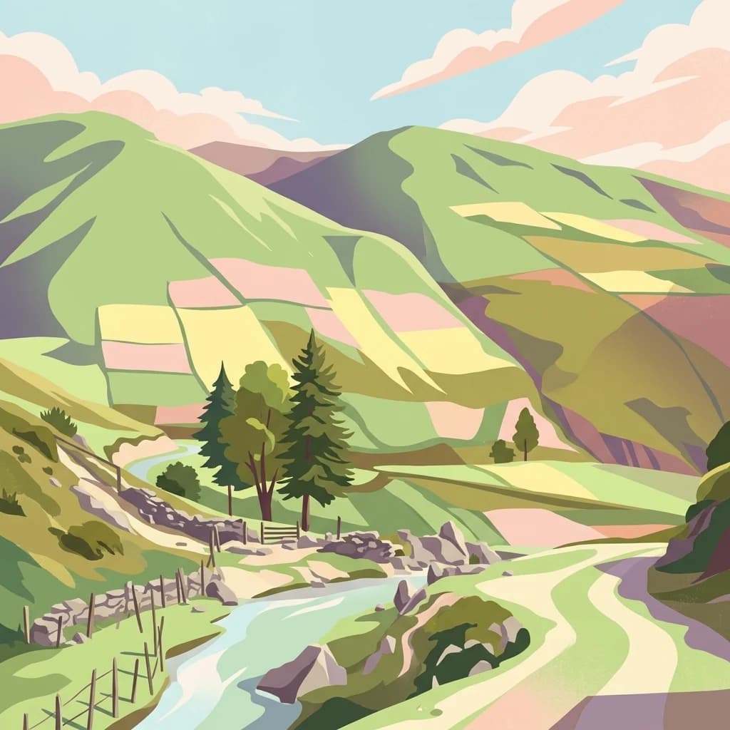
A stylized digital illustration of a mountainous valley with green slopes, agricultural plots, a stream, trees, and a dirt path under a soft, light-colored sky.
National parkVenezuela
About 171 km away#15 closest

Southwest

Sierra La Culata National Park: Protected Landscape Atlas of the Venezuelan Andes

Explore the páramo ecosystems and mapped terrain of this Venezuelan national park.

Sierra La Culata National Park offers a profound look into the unique geography of the Venezuelan Andes. This protected national park is characterized by its expansive páramo ecosystems, dramatic mountain peaks, and glacial lagoons, creating a distinctive high-altitude wilderness. Use this atlas-focused entry to understand the park's mapped boundaries and its significant role within the region's natural landscape context.

Area
2,004 km²
Established
1989
IUCN
II
Relief
Mountain
A flat vector-style illustration of a desert landscape with large golden sand dunes, a lone hiker in the distance, and stylized mountains under a light blue sky with pink-tinted clouds.
National parkFalcón State
About 175 km away#16 closest

North

Médanos de Coro National Park: Venezuela's Unique Arid Landscape and Protected Dune System

Explore the mapped geography of this coastal desert in Falcón State.

Médanos de Coro National Park represents a remarkable protected area within Venezuela's Falcón State, renowned for its spectacular and active sand dune systems. This national park encompasses approximately 91 square kilometers of unique terrain, including large sand formations, salt marshes, and mangrove swamps, contributing to its designation as a key conservation site for arid coastal ecosystems. Users can explore the park's distinctive landscape, understand its geographic context, and discover the patterns of wind-sculpted dunes that define this Venezuelan national park.

Area
91 km²
Established
1974
IUCN
II
Relief
Lowland
Watercolor painting showing green hills, a river, and distant mountains under a light sky
National parkVenezuela
About 184 km away#17 closest

Southwest

Sierra Nevada National Park: Venezuela's Majestic Alpine Protected Landscape and Park Boundaries

Explore the highest peaks and glacial terrain of this Venezuelan national park.

Delve into Sierra Nevada National Park, a premier protected area situated in the high Venezuelan Andes. This national park protects a vast expanse of dramatic alpine terrain, including Pico Bolívar and numerous glacial valleys. Understand its mapped boundaries and the unique paramo and cloud forest ecosystems that define this significant natural landscape within Venezuela, offering rich context for atlas-style geographic discovery.

Area
2,764.46 km²
Established
1952
IUCN
II
Relief
Mountain
Distance methodology

Geographic measurements, not driving distances

How nearby park distances are calculated

Distances use park boundaries whenever the available geometry allows it. When one or both boundaries are missing, the mapped park locations provide a clearly labelled estimate. Every value represents straight-line geographic separation and does not use roads or routing.

Boundary distance

Calculated between the nearest points of both park boundaries.

Location-to-boundary estimate

Estimated from one mapped park location to the nearest boundary of the other park.

Mapped-location estimate

Estimated between the mapped locations of both parks.

MoriAtlas Explorer

Continue Exploring Terepaima National Park's Geography and Boundaries

Deepen your understanding of Terepaima National Park by exploring its specific geographic features and protected boundaries. This detailed view supports structured atlas discovery, allowing for a comprehensive grasp of how this national park contributes to Venezuela's mapped natural landscapes and regional conservation efforts. Continue to analyze its unique context within the broader geographic framework.