Northeast
Lopé National Park
Explore mapped boundaries and natural terrain in Central Africa.
Lopé National Park, in Gabon. Landscapes: forests, grasslands, and rivers.
- Area
- 4,910 km²
- Established
- 2002
- IUCN
- II
- Relief
- Mixed relief
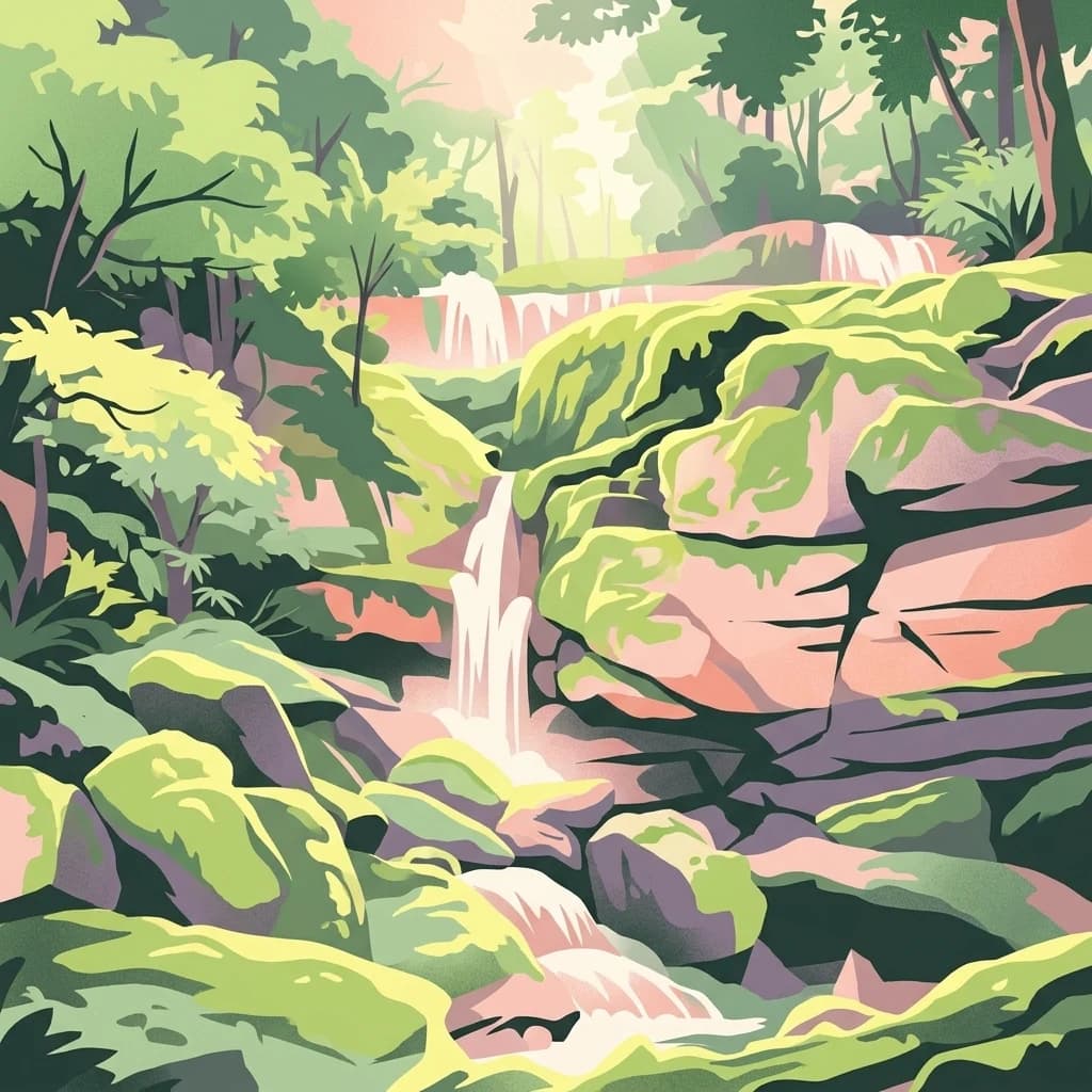
Mapping geographic proximity and landscape continuity within the Chaillu Massif region.
Examine the geographic distribution of protected lands and national parks surrounding Waka National Park. This overview provides mapped context for the terrain and regional landscapes of central Gabon, helping to identify adjacent natural areas through their relative physical positions and shared mountainous characteristics.
Related tags
Ancient rainforest and savanna sanctuary in Gabon's Chaillu Massif
Waka National Park is a protected area in central Gabon, established in 2002 as part of the country's national park system. The park covers approximately 1,060 square kilometers of terrain within the Chaillu Massif, a mountainous region in the heart of Gabon's territory. Waka protects a distinctive blend of tropical rainforest and savanna ecosystems, creating a heterogeneous landscape that supports varied ecological communities. The park's geological history is particularly notable, with landscape features dating as old as 40,000 years. One of the most striking physical features is the Ikobe-Ikoi-Onoi rift, a deeply incised valley that cuts dramatically through the terrain. The park falls under the management of Gabon's National Agency for National Parks and holds IUCN protected area category II status, reflecting its national park designation.
See the ranked park cluster in its geographic setting
Geographic proximity and regional environment comparisons for Waka National Park

Northeast
Explore mapped boundaries and natural terrain in Central Africa.
Lopé National Park, in Gabon. Landscapes: forests, grasslands, and rivers.
Southeast
Explore the geographic extent and conservation context of this national park.
Birougou National Park is an important protected area situated in Gabon, offering a distinct focus for geographic and atlas-based discovery. This national park serves as a significant element within the country's network of conservation landscapes, providing a focal point for understanding mapped terrain and regional geographic patterns. Users can explore its protected boundaries and gain insight into its specific environmental context within Central Africa, making it a vital entry for atlas exploration of Gabon's natural heritage.
Northwest
Explore the geography of Gabon's expansive lowland coastal reserve
Examine the geographic boundaries and protected landscape of Réserve de Wonga Wongué, a crucial site in Gabon that features a blend of forest, hill, and plateau terrain. This reserve provides a comprehensive look at coastal river systems, marshes, and the habitats of central African megafauna along the Atlantic shore, highlighting its role as a Ramsar Wetland of International Importance and its evolving identity as a conservation area.
Southwest
Geographic overview of a key Central African protected area.
Moukalaba-Doudou National Park represents a significant protected area in southeastern Gabon, covering 4,500 square kilometers of diverse terrain. The park is defined by its unusual interaction between humid tropical rainforest and expansive savanna grasslands, marking it as a critical ecological transition zone in the Congo Basin region.
Southwest
Explore savanna, forest, beach, and lagoon ecosystems in this vital national park.
Loango National Park, in Gabon. Landscapes: beaches, coasts, and forests.
Northwest
Mapped boundaries and regional natural context.
Pongara National Park is a designated national park within Gabon, offering a unique opportunity for structured exploration of protected lands. Users can investigate its specific geographic setting, understand its mapped boundaries, and appreciate its place within the regional landscape context. This entry provides a factual foundation for understanding the park's identity as a protected natural area and its contribution to Gabon's geography.
Northwest
Explore its mapped boundaries and regional landscape.
Crystal Mountains National Park is a designated national park offering critical insights into its protected landscape and geographic setting. Users can explore the mapped boundaries of this protected area, understand its regional terrain, and gain context within Woleu-Ntem Province through structured geographic data. This page provides the foundational atlas information for comprehending the park's conservation significance and natural features.
Southwest
Extensive coastal wetland complex in Ogooué-Maritime, Gabon
Examine the geographic boundaries and landscape composition of Zone humide de Petit Loango. This Ramsar-recognized site in Ogooué-Maritime encompasses the Petit Loango Fauna Reserve alongside associated hunting domains, creating a unique coastal environment defined by dense mangrove networks, river estuaries, and inland freshwater swamps.
East
A managed savanna and forest mosaic reserve in the Haut-Ogooué province.
Spanning 14,000 hectares of sandstone terrain, Parc de la Lékédi represents a distinct protected landscape in Gabon. The reserve merges conservation goals with scientific research on primates, utilizing a network of lakes and riverine corridors that support a high concentration of forest and savanna species in a highly managed, ecologically significant environment.

Northeast
Explore its waterfalls, diverse ecosystems, and mapped geographic context.
Ivindo National Park, in Gabon. Landscapes: mountains, rivers, and waterfalls.
Northwest
Explore Gabon's vital mangrove ecosystems and coastal protected areas.
Akanda National Park in Gabon is a significant protected area celebrated for its expansive mangrove forests and critical role in supporting migratory bird populations. Located along the Atlantic coast, this park's unique landscape at the nexus of tidal waters and coastal terrain makes it a valuable site for understanding regional ecology and mapped protected lands. It serves as a primary destination for exploring the natural geography and conservation significance of West African coastal environments.
North
Explore the mapped boundaries of this national park.
Altos de Nsork National Park stands as a designated national park within Equatorial Guinea, offering a distinct protected landscape. This entry provides essential atlas-driven details, emphasizing its geographic setting and mapped park boundaries. Understand its regional context and its significance as part of the conservation network in Central Africa, contributing to a richer understanding of mapped natural terrains.
South
Explore mapped park boundaries and regional landscape context.
Delve into the geographic identity of Mayumba National Park, a significant protected area situated in Gabon. This detail page provides atlas-style insights into the park's mapped boundaries, its position within the equatorial geography of Central Africa, and its role as a national park. Understand the protected landscape's environmental context and its atlas significance.
Northeast
Protected tropical lowland forest along the Ivindo River
Situated in northeastern Gabon, the Ipassa-Makokou Biosphere Reserve protects a vital segment of the Congolese-Guinean rainforest. This area provides deep insight into forest dynamics through decades of consistent monitoring, showcasing an unbroken canopy and high biodiversity density within a key Central African corridor.

South
Explore its national park status and geographic context.
Conkouati-Douli National Park is a protected area situated in the Kouilou Department, offering a focused point for geographic and landscape discovery. This detail provides an atlas-style perspective on its mapped boundaries and its contribution to the regional geography. Understand the park as a distinct natural landscape and a key component of conservation within its geographic setting.
East
Mapped boundaries and regional protected-area context.
Delve into the protected landscape of Ogooué-Leketi National Park, a national park situated in Gabon. This entry provides crucial context for understanding the park's geographic footprint and its role as a conservation area. Examine the mapped terrain and discover how Ogooué-Leketi National Park fits into the regional geography of Central Africa, offering an atlas-driven perspective on its protected status.
Northeast
Explore the mapped terrain and protected landscape of this national park.
Gain a structured understanding of Minkébé National Park, a designated national park situated in Gabon. This destination focuses on the park's protected landscape, its distinct mapped boundaries, and its contribution to the regional geography of Central Africa. Examine how its protected status shapes the natural terrain and offers a unique angle for geographic discovery.
North
Explore regional geography and park boundaries.
Monte Alén National Park, a designated national park in Equatorial Guinea, offers a unique focal point for understanding protected landscapes. This entry provides detailed geographic context, highlighting the park's mapped boundaries and its significance within the atlas of Central African natural terrain. Investigate the terrain and regional setting of Monte Alén National Park for structured geographic discovery.
East
Discover the terrain and protected landscape of Haut-Ogooué Province.
Batéké Plateau National Park is defined by its expansive forest-savanna mosaic, a rare ecological formation across Central Africa. Located within Haut-Ogooué Province, this national park showcases unique terrain characterized by savanna grasslands interspersed with woodlands and forested corridors. Understanding its geographic context and protected boundaries provides valuable insight into the region's natural heritage and conservation significance.
Geographic measurements, not driving distances
Calculated between the nearest points of both park boundaries.
Estimated from one mapped park location to the nearest boundary of the other park.
Estimated between the mapped locations of both parks.
Delve deeper into the protected landscape of Waka National Park to understand its unique geographic features and mapped territory. This focused atlas view helps contextualize the park within Gabon's diverse natural environments. Continue your discovery to grasp the full scope of its protected area status and its significance in regional geography.