Northeast
Morrocoy National Park
Explore the mapped protected landscape and regional context.
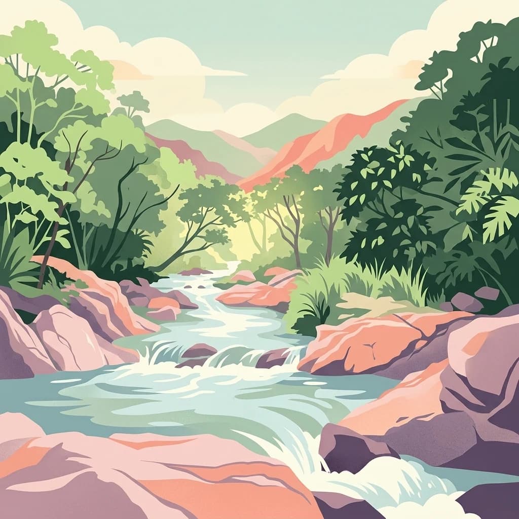
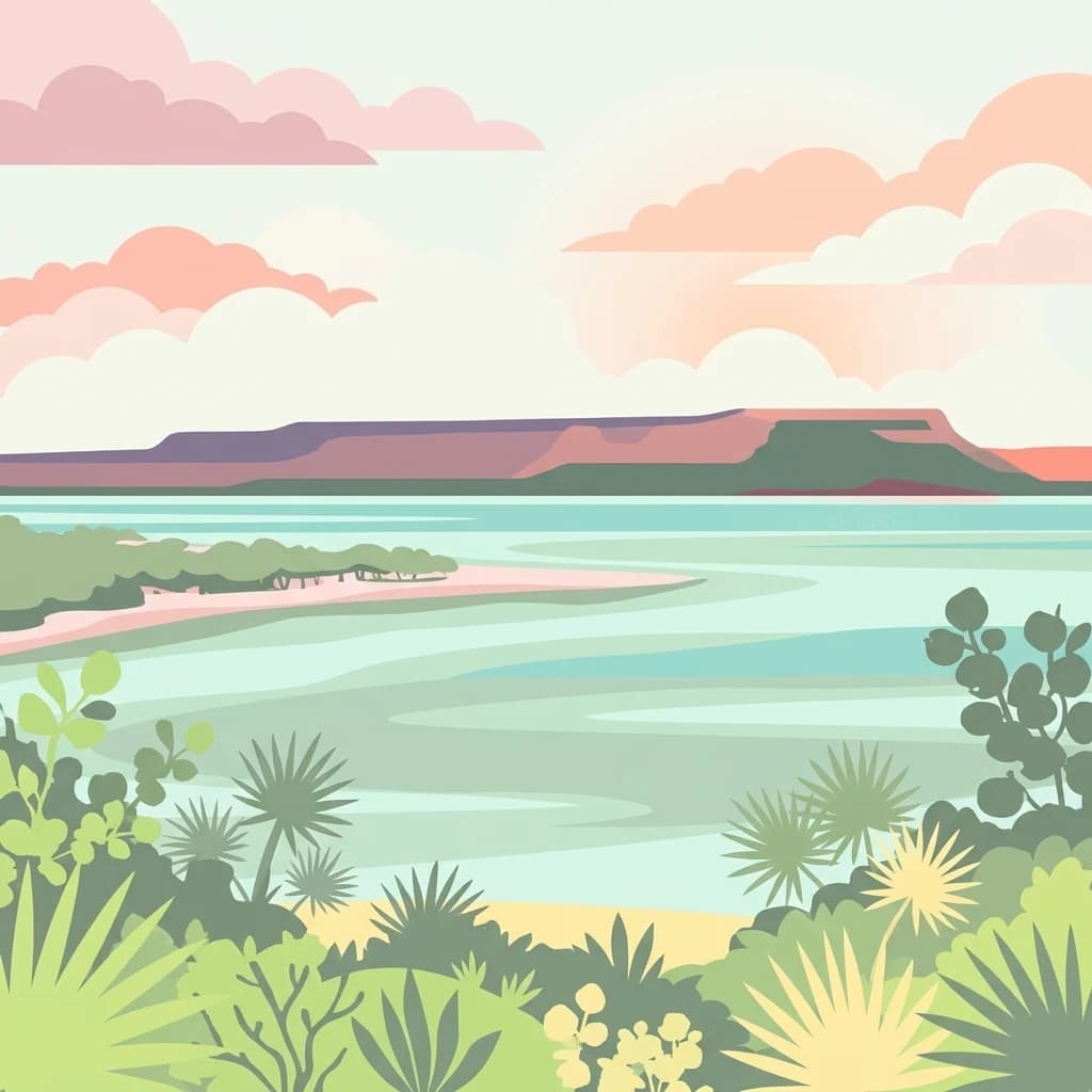
Morrocoy National Park, in Venezuela. Landscapes: wetlands, forests, and islands.
- Area
- 320.9 km²
- Established
- 1974
- IUCN
- II
- Relief
- Mixed relief
Geographic overview of surrounding protected landscapes and nearby regional parks
Examine the geographic distribution of protected areas in the vicinity of Yurubí National Park within the Sierra de Aroa mountain range. This regional atlas context highlights neighboring natural landscapes and park boundaries located across the northern Venezuelan terrain.

Cloud-forest protected area in the Sierra de Aroa watershed
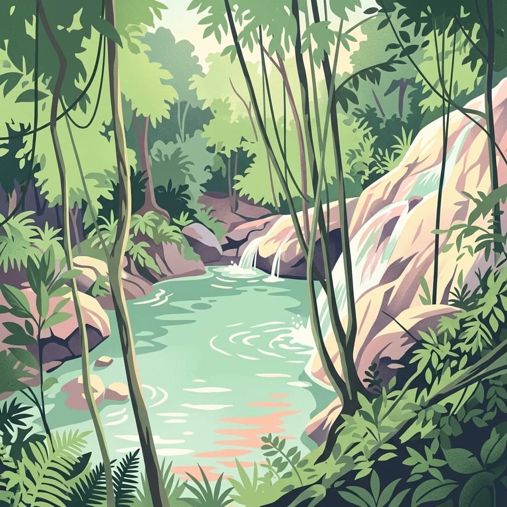
Yurubí National Park is a protected area in northern Venezuela, established in 1960 to safeguard the Yurubí river basin that provides fresh water to the city of San Felipe. Located in Yaracuy State within the Sierra de Aroa mountain range, the park encompasses approximately 237 square kilometers of cloud forest and low montane forest ecosystems. The park's location at the intersection of multiple ecological zones suggests significant biodiversity, though scientific documentation remains limited due to restricted research activity. Former settlements within the park were relocated decades ago, and the area now functions as an uninhabited protected wilderness surrounded by agricultural land. The park remains one of Venezuela's older national parks, created during a period when the country was establishing its foundational protected area network.
See the ranked park cluster in its geographic setting
Geographic proximity, direction, and regional conservation comparison for Yurubí National Park

Northeast
Explore the mapped protected landscape and regional context.
Morrocoy National Park, in Venezuela. Landscapes: wetlands, forests, and islands.
Northwest
Explore its mapped boundaries and regional geographic context.
This page details Cueva de la Quebrada del Toro National Park, highlighting its status as a national park within Venezuela. Understand the park's geographic setting, its role as a protected landscape, and its mapped presence within the country's natural reserves. It provides essential context for exploring its protected boundaries and regional significance for atlas-based discovery.

South
Examining the high altitude terrain and watersheds of Lara State
Tirgua National Park is a protected area situated in the mountainous region of Lara State in western Venezuela. This location covers diverse cloud forest environments and steep river valleys that are critical to the Tocuyo River basin. The area provides a unique window into the neotropical mountain ecosystems of the Venezuelan Andes, showcasing rugged topography and distinct highland watersheds.

East
Mapped protected area and natural terrain in Venezuela.
San Esteban National Park represents a significant protected area within Venezuela's Carabobo region, offering a unique exploration of Caribbean forest ecosystems and historical cultural sites. Covering approximately 445 square kilometers, the park's terrain spans coastal areas to mountainous interiors, presenting a diverse natural landscape shaped by its position in the coastal mountain ranges. This national park is notable for its archaeological petroglyphs, colonial roads, and fortifications, providing a rich cultural heritage context alongside its natural ecosystems. Its status as a protected national park makes it a key destination for understanding the intersection of natural conservation and historical geography in Venezuela.

East
Explore protected landscapes, cloud forests, and birdwatching geography.
Henri Pittier National Park, in Venezuela. Landscapes: mountains, valleys, and forests.

Southwest
Mapped Boundaries and Regional Geography
Terepaima National Park is a designated national park within Venezuela, offering a clear focus for atlas-driven exploration of protected natural areas. This entry highlights the park's significance as a mapped protected landscape, providing essential geographic context and detail for understanding its boundaries and regional setting. It is an integral component for any structured discovery of Venezuela's conservation network.
West
Explore the protected landscape and mapped boundaries.
Cerro Saroche National Park in Lara State, Venezuela, is a distinct protected area offering a valuable perspective for geographic and atlas exploration. This page provides essential details about its identity as a national park, highlighting its place within the regional landscape. Understanding Cerro Saroche National Park helps in appreciating the distribution of protected lands and their geographical significance across Venezuela.

Northwest
Mapped boundaries and regional context for this Venezuelan national park.
Juan Crisóstomo Falcón National Park represents a distinct protected area within Venezuela, offering specific insights into its geographic identity and mapped landscape. This entry facilitates a deeper understanding of the park's protected boundaries and its place within the national and regional atlas of South America. Explore the terrain and natural context that define this significant Venezuelan national park for structured geographic discovery.
Southwest
Map exploration of vital river basins and natural landscapes.
El Guache National Park is a protected national park in Venezuela, safeguarding the headwaters of five key rivers. Its landscape comprises mountainous terrain within the Andean foothills, crucial for watershed protection and regional biodiversity. This entry provides detailed geographic context, allowing for an atlas-style exploration of the park's mapped boundaries and its role as a vital protected area.

Southwest
Mapped terrain and significant orchid diversity in Venezuela's Andean foothills.
Yacambú National Park is a significant national park in Venezuela's Lara State, protecting crucial humid cloud forest ecosystems in the Andean foothills. The park's terrain is defined by the mountainous topography of the Portuguesa Mountain Range, supporting a rich diversity of flora, including numerous orchid species. Its role in watershed protection for nearby regions underscores its importance as a conserved natural landscape with vital ecological functions.
East
Exploring protected summit terrain and regional mountain connectivity
Spanning over 11,850 hectares, Monumento Natural Pico Codazzi preserves a complex mountain landscape defined by limestone massifs, vertical cliffs, and subterranean cave systems. Located in Aragua, this protected area functions as a biological bridge between major national parks, safeguarding a critical environment for migratory bird transit and high-altitude cloud forest stability across the Coastal Range.

Southeast
Geological exploration of the iconic Los Morros limestone formation
Monumento Natural Arístides Rojas represents a significant protected area in central Venezuela, defined by its dramatic Paleocene limestone hills. This site serves as a vital geological monument, featuring karst caves, steep rocky ridges, and expansive views over San Juan de los Morros. Browse geographic terrain data and trace the boundaries of these sharp, tooth-like hills that characterize the regional landscape transition into the Venezuelan llanos.

Northwest
Explore the mapped geography of this coastal desert in Falcón State.
Médanos de Coro National Park represents a remarkable protected area within Venezuela's Falcón State, renowned for its spectacular and active sand dune systems. This national park encompasses approximately 91 square kilometers of unique terrain, including large sand formations, salt marshes, and mangrove swamps, contributing to its designation as a key conservation site for arid coastal ecosystems. Users can explore the park's distinctive landscape, understand its geographic context, and discover the patterns of wind-sculpted dunes that define this Venezuelan national park.

East
Explore its protected landscape and geographic setting within South America.
Delve into Macarao National Park, a significant national park situated in Venezuela. This page offers an atlas-centric view of the park, detailing its mapped boundaries and highlighting its importance within the regional geography of northern South America. Understand how Macarao National Park contributes to the country's network of protected landscapes and provides foundational geographic context for explorers and researchers.

East
Discover diverse terrain, mapped boundaries, and unique geographic context.
El Ávila National Park offers an exceptional gateway into Venezuela's mountainous protected landscapes. This national park features a dramatic rise from the Caribbean coast into varied terrain, including unique cloud forest and alpine zones. Its mapped geography showcases steep slopes, deep ravines, and remarkable elevation changes, providing a significant atlas-style study of coastal mountain environments. Exploring El Ávila National Park reveals a vital natural barrier and a rich ecosystem supporting diverse flora and fauna, making it a key destination for understanding regional protected areas.

North
Saline wetlands, volcanic peaks, and coastal ecology
Washington-Slagbaai National Park represents a cornerstone of Bonaire's conservation identity. The protected area features a striking blend of salt-tolerant mangrove systems, expansive salinas, and the rising slopes of Brandaris. This geographic overview highlights the physical characteristics and ecological distribution within one of the oldest national parks in the Dutch Caribbean, mapping the convergence of arid scrubland and marine environments.

Southwest
Explore its rugged terrain and páramo ecosystem.
Dinira National Park is a significant protected area in Venezuela, covering rugged Andean terrain vital for watershed protection. This national park features dramatic mountain landscapes, including the Humocaro Mountains and the Los Nepes páramo zone, supporting diverse cloud forest and high-altitude ecosystems. Understanding Dinira National Park offers insight into the geographic context of the Cordillera de Mérida and its hydrological importance.

North
Explore mapped boundaries and unique dry forest ecosystems.
Christoffelpark represents Curacao's most vital protected natural area, offering a deep dive into its unique geography and landscape. This national park preserves the island's highest peak, Christoffelberg, alongside distinctive dry forest ecosystems, endemic species, and the remnants of colonial plantations. Explore the mapped terrain, understand the regional context, and appreciate the rich natural and cultural heritage that defines this important protected landscape on Curacao.
Geographic measurements, not driving distances
Calculated between the nearest points of both park boundaries.
Estimated from one mapped park location to the nearest boundary of the other park.
Estimated between the mapped locations of both parks.
Deepen your understanding of Yurubí National Park by examining its specific geographic features and protected landscape context within Venezuela. This national park offers a focused point for detailed map exploration and appreciating its role in the atlas of South American protected areas. Further your journey into its mapped terrain and regional natural landscape significance.