Mori Atlas logo
Nearby park discovery

Geographic landscape context and regional protected area distribution

Parks and Protected Areas Situated Within the Region of Ben Lomond National Park

Identify protected environments and national parks occupying the geographic area surrounding the dolerite massif of Ben Lomond National Park. This regional overview details the spatial distribution of protected landscapes across Tasmania, providing a comprehensive view of the surrounding mountain terrain and conserved natural geography.

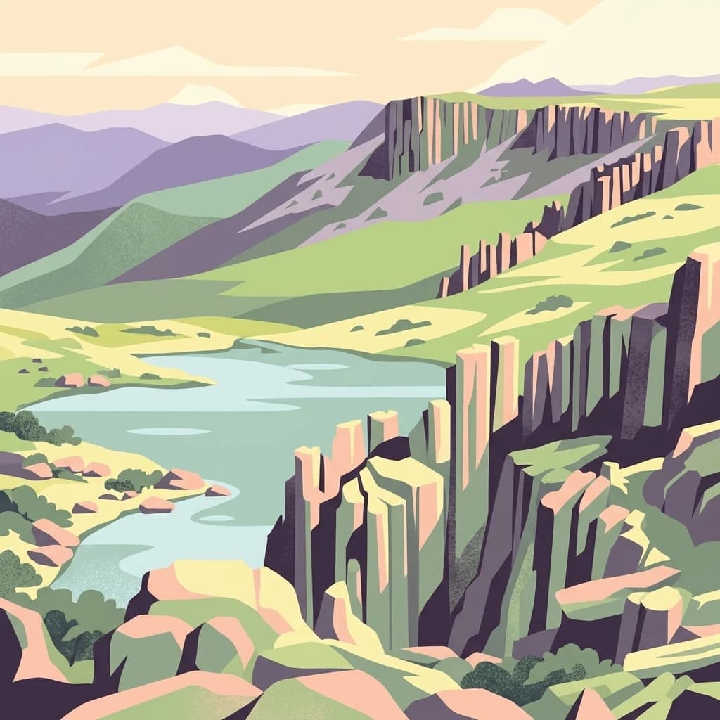
Stylized illustration of a mountainous landscape featuring a lake, cliffs, and rolling hills

Tasmania's premier alpine wilderness and ski destination

Ben Lomond National Park

Ben Lomond National Park protects a dramatic mountain landscape in the north-east of Tasmania, Australia. The park centers on a central dolerite massif with an extensive alpine plateau rising above 1,200 metres, featuring the state's highest peak outside the Western Mountains. Legges Tor at 1,572 metres marks the plateau's highest point, while Stacks Bluff dominates the southern aspect with impressive cliffs dropping 600 metres to the surrounding foothills. The park encompasses representative examples of Tasmania's north-east alpine plant communities, with 222 plant species recorded across habitats ranging from alpine moorland to dense forest. The area holds deep cultural significance as the traditional country of the Ben Lomond Nation, whose descendants maintain connections to this landscape.

Location
Australia
Park type
National park
Established
1947
Area
162 km²
Highest point
1,572 m
Ben Lomond National Park protected landscape
Regional park map

See the ranked park cluster in its geographic setting

Nearby parks around Ben Lomond National Park

This regional map shows the same 20 nearby parks ranked below around Ben Lomond National Park. Select a ranked marker to highlight that park’s boundary where boundary data is available.
Reference park: Ben Lomond National ParkRanked nearby parkSelected boundary: Ben Lomond National Park20 nearby parks shown
20 nearby parks

Explore surrounding landscapes and regional park geography by measured distance and direction.

Ranked Parks and Protected Areas Geographically Near Ben Lomond National Park

Examine the ranked collection of protected areas situated geographically near Ben Lomond National Park using mapped boundary separation and directional coordinates. Evaluate how surrounding regional environments and recorded conservation attributes compare across neighbouring reserves without assuming shared terrain.
Watercolor illustration of a landscape featuring hills, trees, and a winding river
National parkTasmania
33 km away#1 closest

Southeast

Douglas-Apsley National Park: Discover its Protected Landscape and Geographic Context in Tasmania

Mapped boundaries and regional terrain of a key Tasmanian national park.

Delve into the geographic details of Douglas-Apsley National Park, a designated national park situated in Tasmania, Australia. This entry provides insight into the park's protected landscape identity, its mapped boundaries, and its contribution to the rich regional geography of Tasmania. Understanding its place within the island's natural terrain is crucial for comprehensive atlas-driven exploration and appreciating Australia's protected areas.

Area
160.8 km²
Established
1989
IUCN
II
Relief
Upland
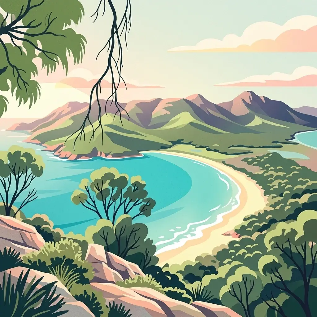
A digital illustration showing a high vantage point overlooking a crescent-shaped bay with turquoise water, a sandy beach, and rugged coastal mountains in the background under a soft sunrise sky.
National parkTasmania
52 km away#2 closest

Southeast

Freycinet National Park

Mapped geography and distinct terrain of Tasmania's historic national park.

Freycinet National Park, in Tasmania, Australia. Landscapes: mountains, cliffs, and beaches.

Area
169 km²
Established
1916
IUCN
II
Visitors
200K annual
Marine protected areaTasmania
57 km away#3 closest

East

Freycinet Commonwealth Marine Reserve: Protected Marine Landscapes and Bathymetry in the Tasman Sea

Offshore Australian marine geography and deep-sea protected areas

Freycinet Commonwealth Marine Reserve serves as a monumental example of marine conservation in the Tasman Sea. Stretching far from the Tasmanian coast, this reserve protects substantial offshore seamounts and pelagic waters. Its submarine landscape is shaped by ancient volcanic activity, creating varied seafloor environments that support deep-sea biodiversity and wide-ranging marine species.

Area
57,942 km²
Established
2007
IUCN
II
Climate
Temperate
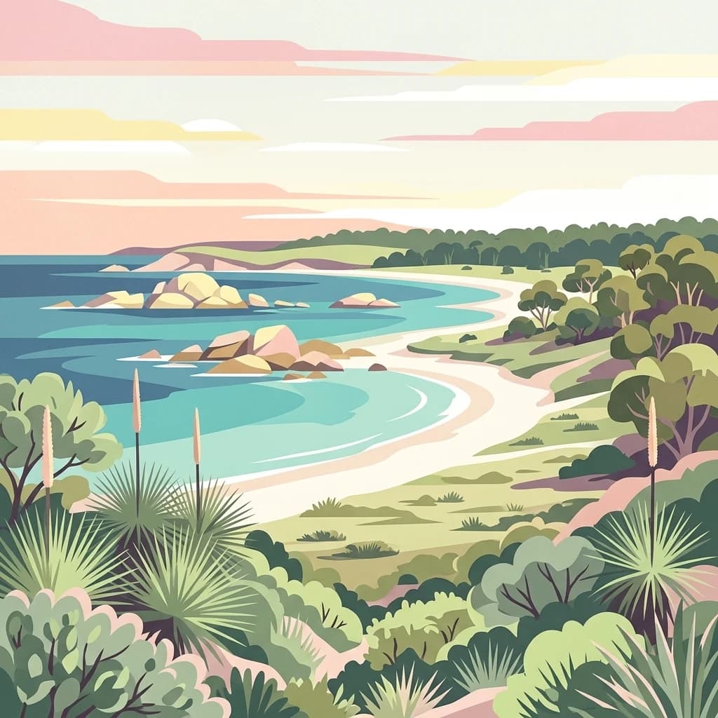
A stylized illustration of a coastal beach with turquoise water, rocky outcrops, sand dunes, and native Australian vegetation.
National parkTasmania
61 km away#4 closest

Northeast

Mount William National Park: Protected Landscape and National Park Atlas Details

Discover mapped geography and protected area context within Tasmania.

Mount William National Park stands as a vital protected area within Tasmania's vast network of natural landscapes. This detailed entry focuses on its identity as a national park, providing essential geographic context and mapped boundaries for atlas exploration. Understanding Mount William National Park's place in Tasmania's regional geography allows for a richer appreciation of Australia's protected lands.

Area
184.39 km²
Established
1973
IUCN
II
Relief
Lowland
Nature reserveTasmania
About 63 km away#5 closest

West

Liffey Valley Reserve: Geographic Overview of a Tasmania Nature Reserve and Landscape

Protected sclerophyll forest and temperate rainforest sequences

Liffey Valley Reserve in Tasmania provides a focused look at how protected land boundaries align with natural elevation gradients. Its four component parcels protect a complete sequence of Tasmanian vegetation, spanning from ridge-top alpine heath to mossy rainforest depressions. This site acts as a key reference for understanding private conservation geography and the rugged terrain characterizing the eastern edge of the central highlands.

Area
2.75 km²
Established
1991
Water
Major water bodies
Season
Year-round
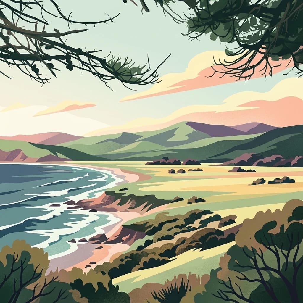
A stylized illustration of a coastline with rolling hills, a sandy beach, and a calm sea framed by tree branches in the foreground.
National parkTasmania
85 km away#6 closest

Northwest

Narawntapu National Park: Tasmania's Coastal Protected Landscape and Wildlife Atlas

Explore mapped boundaries, heathland, woodland, and intertidal bird habitats.

Narawntapu National Park showcases a remarkable protected coastal landscape on Tasmania's north coast, renowned for its exceptional density of marsupial wildlife and significant intertidal bird populations. Its diverse terrain, including heathland, woodland, and extensive mudflats, offers unique opportunities for geographic discovery and understanding the park's ecological importance. Examine its mapped natural features and protected status within the broader atlas of Australian reserves.

Area
43.49 km²
Established
1976
IUCN
II
Visitors
10.1K annual
National parkTasmania
94 km away#7 closest

West

Mole Creek Karst National Park: Mapped Protected Area and Tasmanian Landscape Atlas

Explore the geography and park boundaries within Tasmania's protected lands.

Mole Creek Karst National Park stands as a key protected area within Tasmania, offering a unique glimpse into the island state's natural geography. This resource facilitates an atlas-style discovery of the park's mapped landscape, its protected boundaries, and its significance within the broader context of Australian protected lands. Understand the park's terrain and its role in the region's conservation heritage.

Area
13.45 km²
Established
1996
IUCN
II
Relief
Mountain
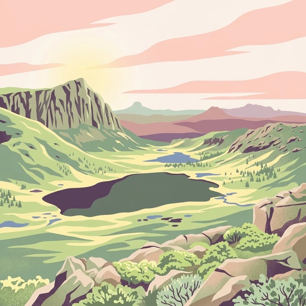
An illustration of a sweeping alpine valley with a large dark lake, surrounded by rocky peaks and undulating green slopes under a soft, sunset-colored sky.
National parkTasmania
100 km away#8 closest

West

Walls of Jerusalem National Park: A Mapped Alpine Wilderness in Tasmania

Explore protected landscapes with biblical place names.

Walls of Jerusalem National Park in Tasmania is a distinguished national park characterized by its rugged alpine terrain and dramatic quartzite formations, most notably King Davids Peak. The park's landscape is further distinguished by a unique series of features named after biblical locations, offering an evocative exploration for those interested in geographic discovery. As a protected wilderness area within the Tasmanian Wilderness World Heritage Area, it provides valuable insight into Australia's significant natural landscapes and their mapped representation.

Area
518 km²
Established
1978
IUCN
II
Relief
Mountain
Marine protected areaTasmania
105 km away#9 closest

Northeast

Flinders Commonwealth Marine Reserve: Submarine Geography and Deep Seamount Atlas

A protected offshore marine environment in the Tasman Sea

Spanning from shelf waters into the deep ocean, this Commonwealth-managed reserve represents a critical marine protected area off the Tasmanian coast. It features unique benthic environments and prominent seamounts that support diverse deep-sea life far beyond the reach of traditional coastal exploration.

Area
27,043 km²
Established
2007
IUCN
II
Access
Remote access
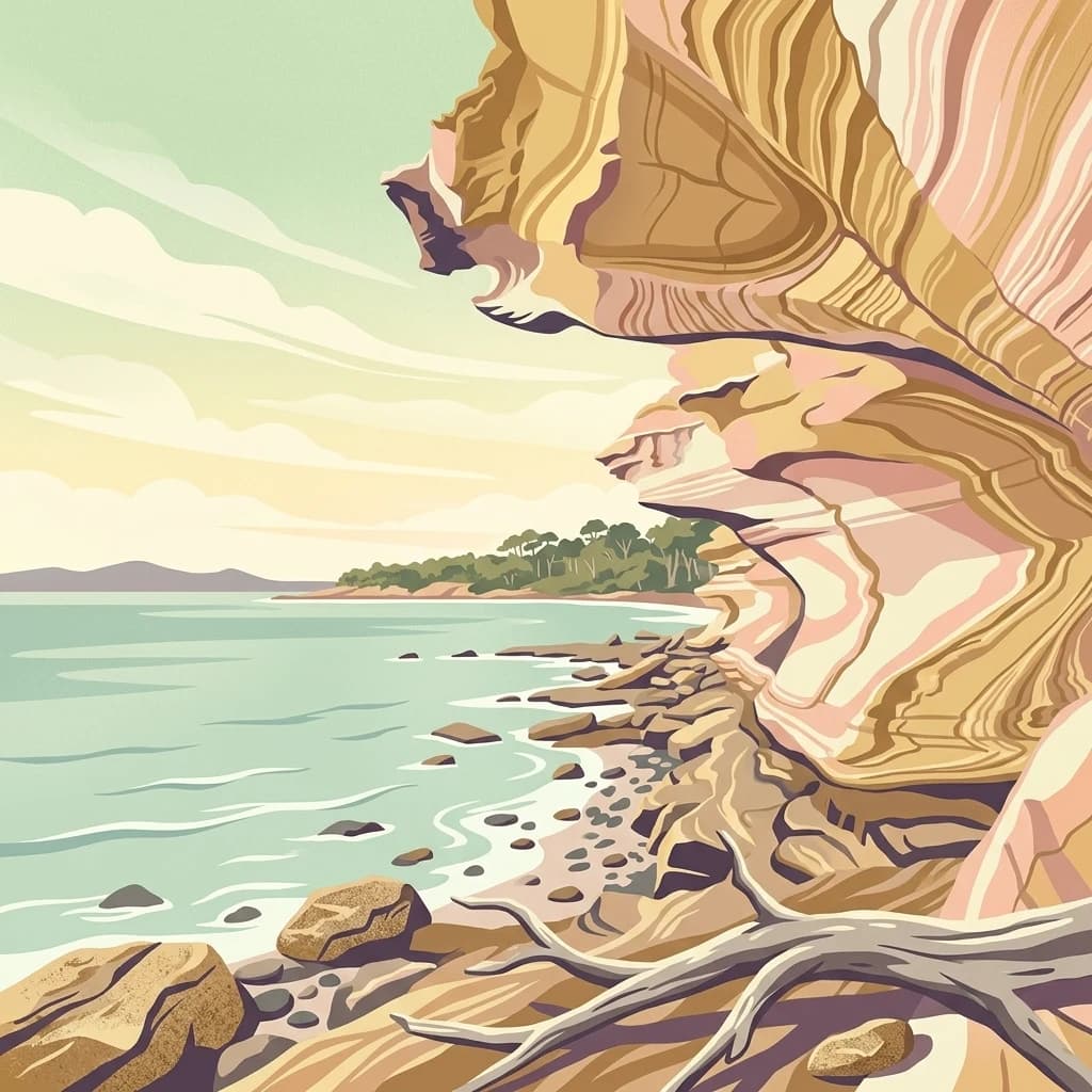
A digital illustration of the Painted Cliffs along the coastline of Maria Island, showing characteristic sandstone patterns, rocky shorelines, and calm ocean waters.
National parkAustralia
107 km away#10 closest

South

Maria Island National Park: Australian Protected Landscape and Geographic Discovery

Explore its mapped terrain and regional natural context.

Maria Island National Park represents a key protected landscape within Australia, offering dedicated content for geographic exploration. As a national park, it provides specific insights into its mapped boundaries, natural terrain, and overall landscape character. Users can delve into the geographic context of this protected area, understanding its unique position within Australia's atlas of significant natural spaces and conservation lands, fostering detailed discovery.

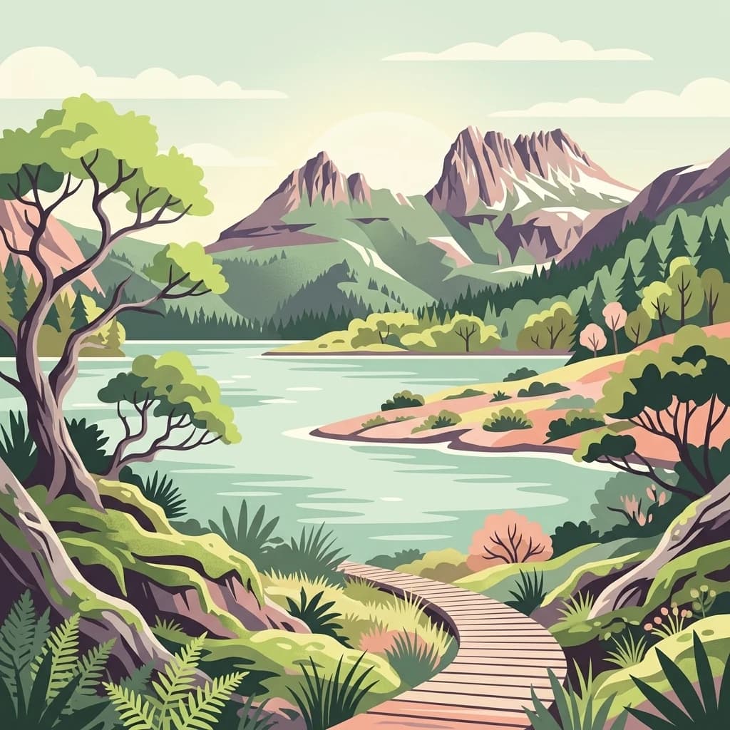
An illustrative digital art piece showing a winding wooden boardwalk leading through a lush, fern-filled forest towards a calm, light-green alpine lake backed by towering, craggy mountain peaks.
National parkTasmania
116 km away#11 closest

West

Cradle Mountain, Lake St Clair National Park

Explore national park boundaries and regional natural terrain.

Cradle Mountain, Lake St Clair National Park, in Tasmania, Australia. Landscapes: mountains, valleys, and lakes.

Area
1,614.43 km²
Established
1922
IUCN
II
Visitors
209K annual
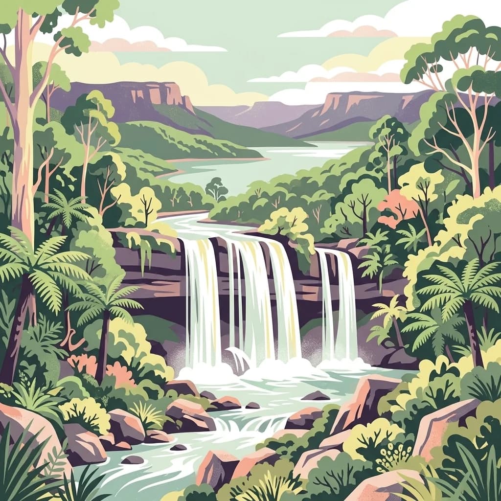
A stylized illustration of a wide waterfall plunging over a rocky ledge into a river, surrounded by temperate rainforest with ferns and tall trees, with rolling hills and a cloudy sky in the background.
National parkTasmania
134 km away#12 closest

Southwest

Mount Field National Park

Mapped terrain and regional atlas context for this Australian national park.

Mount Field National Park, in Tasmania, Australia. Landscapes: lakes, mountains, and valleys.

Area
162.65 km²
Established
1916
IUCN
II
Relief
Mountain
An illustrative style digital painting of a rugged coastline at sunset with high vertical sea cliffs in the foreground and a calm sea with gentle waves.
National parkTasmania
137 km away#13 closest

South

Tasman National Park: Discover Its National Park Geography and Protected Landscape

Explore mapped boundaries and regional context within Tasmania.

Tasman National Park represents a key protected area for exploration within Tasmania's distinctive geography. This page facilitates a detailed look at its national park identity, focusing on its mapped natural landscapes and its contribution to the protected area network of the Australian island state. Gain structured geographic insight into this significant conservation landscape.

Area
107.5 km²
Established
1999
IUCN
II
Relief
Mixed relief
National parkTasmania
139 km away#14 closest

North

Strzelecki National Park: A National Park in Tasmania's Protected Landscape Atlas

Explore mapped park boundaries and regional terrain.

Strzelecki National Park represents a significant protected land entity within Tasmania, Australia. As a national park, it offers critical insights into the island state's diverse geography and landscape formations. This detailed view supports an atlas-based understanding, highlighting the park's mapped boundaries and its contribution to the structured exploration of Australia's protected areas. Discover the geographic characteristics and contextual importance of this Tasmanian natural landscape.

Area
42.16 km²
Established
1967
IUCN
II
Relief
Mixed relief
An illustrative style digital painting of a mountain peak rising above a sandy bay with rocky shoreline and coastal vegetation.
National parkTasmania
151 km away#15 closest

Southwest

Southwest National Park: Tasmania's Core Wilderness National Park and World Heritage Landscape

Mapping the remote buttongrass moorlands and rugged terrain of this expansive park.

Southwest National Park represents a significant protected area in Tasmania, Australia, spanning over 6,183 square kilometers. As the heart of the Tasmanian Wilderness World Heritage Area, it showcases an extraordinary landscape characterized by vast buttongrass moorlands, ancient temperate rainforests, and dramatic mountainous terrain. This park is vital for its wilderness character and conservation significance, offering a unique opportunity to explore one of the Southern Hemisphere's last remaining untouched temperate wildernesses through its mapped geography and protected boundaries.

Area
6,182.67 km²
Established
1968
IUCN
II
Relief
Mountain
A digital illustration of a mountainous landscape with a multi-tiered waterfall cascading down a cliff into a river surrounded by lush temperate forest and ferns.
National parkTasmania
About 157 km away#16 closest

Southwest

Franklin, Gordon Wild Rivers National Park: Mapped Protected Landscape Identity in Tasmania's Geography

Explore the mapped boundaries of this Tasmanian National Park.

Franklin, Gordon Wild Rivers National Park stands as a testament to Tasmania's commitment to preserving its natural heritage. This national park provides a unique opportunity to examine protected land boundaries and understand its specific geographic setting within the Australian state. Its landscape context is integral to the regional atlas, offering a clear representation of conservation priorities and natural geographic features for detailed study.

Area
4,463.42 km²
Established
1908
Relief
Mountain
Climate
Temperate
National parkTasmania
173 km away#17 closest

West

Savage River National Park: Discover Tasmania's Protected Landscape Geography

Explore mapped boundaries and regional park context.

Savage River National Park represents a distinct protected area within Tasmania, Australia, offering valuable insights into the island's natural geography and conservation landscape. As a designated national park, its mapped territory contributes to the understanding of regional protected areas and their distribution across Tasmania. This entity serves as a crucial point for atlas-based exploration, allowing users to grasp its geographic identity and its place within a broader map of Australian natural territories.

Area
179.8 km²
Established
1999
IUCN
II
Climate
Temperate
An illustration of a coastal landscape with green hills, rocky outcrops, and a calm sea under a soft, sunset-colored sky.
National parkTasmania
177 km away#18 closest

West

Rocky Cape National Park: Tasmania's Coastal National Park with Ancient Aboriginal Heritage

Explore the dramatic headland, heath ecosystems, and mapped park boundaries.

Rocky Cape National Park on Tasmania's North West Coast is a nationally significant protected area recognized for its ancient Aboriginal archaeological heritage, representing at least 8,000 years of continuous occupation. The park's landscape unfolds across a dramatic coastal headland, featuring rugged rocky shores, expansive heathlands, and coastal woodlands that define this wild section of Tasmania. Its protected status underscores its importance for both cultural discovery and the preservation of unique Australian coastal ecosystems. Understanding Rocky Cape National Park offers direct insight into the region's geography and the enduring legacy of its first peoples.

Area
30.64 km²
Established
1967
IUCN
II
Relief
Lowland
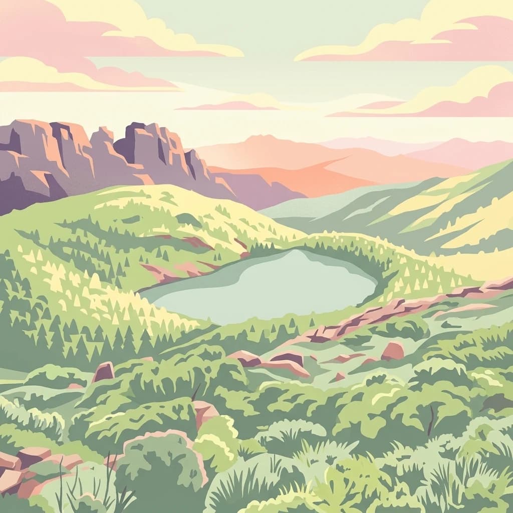
A stylized illustration of a mountain valley featuring a central alpine lake surrounded by rocky ridges, evergreen trees, and low-lying shrubs under a soft pastel sky.
National parkTasmania
182 km away#19 closest

South

Hartz Mountains National Park

Mapped geography and regional landscape context.

Hartz Mountains National Park, in Tasmania, Australia. Landscapes: mountains, valleys, and cliffs.

Area
71.4 km²
Established
1939
IUCN
II
Visitors
11.8K annual
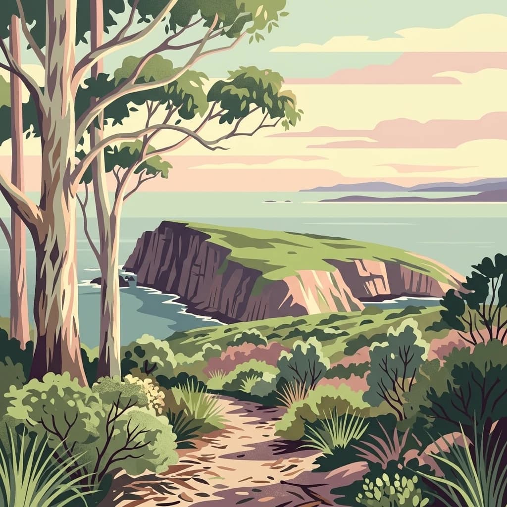
A digital illustration of a scenic coastal view in South Bruny National Park, featuring a dirt trail leading towards a prominent rocky cliff surrounded by water, framed by tall eucalyptus trees in the foreground.
National parkTasmania
191 km away#20 closest

South

South Bruny National Park: Tasmania's Protected Area Geography and Mapped Landscape Context

Discover the geographic identity and mapped boundaries of this Tasmanian National Park.

South Bruny National Park is a key protected landscape located in Tasmania, Australia, offering critical insights into regional conservation efforts. As a designated National Park, its identity is tied to the preservation of its unique geographic features and natural terrain. This entry provides detailed information on its mapped boundaries and its place within Tasmania's broader atlas of protected areas, facilitating a deeper understanding of its protected landscape significance.

Area
50.59 km²
Established
1997
IUCN
II
Visitors
9.2K annual
Distance methodology

Geographic measurements, not driving distances

How nearby park distances are calculated

Distances use park boundaries whenever the available geometry allows it. When one or both boundaries are missing, the mapped park locations provide a clearly labelled estimate. Every value represents straight-line geographic separation and does not use roads or routing.

Boundary distance

Calculated between the nearest points of both park boundaries.

Location-to-boundary estimate

Estimated from one mapped park location to the nearest boundary of the other park.

Mapped-location estimate

Estimated between the mapped locations of both parks.

MoriAtlas Explorer

Continue Exploring Ben Lomond National Park's Unique Alpine Geography

Dive deeper into the mapped features and protected landscape identity of Ben Lomond National Park. Understanding its dolerite geology, alpine plateau, and surrounding regional geography offers critical context for appreciating Australia's protected areas. Use this atlas-driven data to gain a structured geographic perspective on this significant natural environment and its place within the broader landscape.