Mori Atlas logo
Nearby park discovery

Regional mapping of surrounding conservation zones and protected coastal environments

Protected Areas and Natural Landscapes Near Kachemak Bay National Estuarine Research Reserve

Examine the geographic distribution of protected lands and conservation areas situated across the Kenai Peninsula and the broader Gulf of Alaska coast. This overview maps the surrounding landscape context for Kachemak Bay National Estuarine Research Reserve, providing spatial insights into how these coastal and terrestrial reserves connect within the regional watershed.

Related tags

estuarine reserveAlaska coastKenai PeninsulaGulf of Alaskaintertidal flats

Alaska's largest estuarine research reserve, protecting one of the most diverse bays in the Gulf of Alaska.

Kachemak Bay National Estuarine Research Reserve

Kachemak Bay National Estuarine Research Reserve is a federally designated estuarine reserve on the western shore of the Kenai Peninsula in southern Alaska. It protects more than 370,000 acres of interconnected marine, intertidal, wetland, and forest landscapes along one of the most ecologically rich embayments on the Gulf of Alaska coast. As the largest reserve within the National Estuarine Research Reserve System, it functions as both a working laboratory for estuarine science and a buffer for communities whose livelihoods remain tied to the bay. The reserve is managed jointly by the National Oceanic and Atmospheric Administration and the Alaska Department of Fish and Game, reflecting the broader federal-state partnership model that underpins the national reserve network. Its boundary unites two state critical habitat areas and two state parks into a single integrated management framework, blending marine and terrestrial protection across one watershed. Kachemak Bay is recognized for its unusually diverse habitats combined with intensive human use, from commercial and subsistence fishing to recreation and research. Local communities actively pursued the reserve designation in order to preserve both the ecology and the traditional way of life supported by the bay, giving the reserve a strong dual identity as a place of scientific study and regional cultural continuity.

Location
United States of America
Park type
Nature reserve
Area
1,500 km²
Kachemak Bay National Estuarine Research Reserve Map
Regional park map

See the ranked park cluster in its geographic setting

Nearby parks around Kachemak Bay National Estuarine Research Reserve

This regional map shows the same 20 nearby parks ranked below around Kachemak Bay National Estuarine Research Reserve. Select a ranked marker to highlight that park’s boundary where boundary data is available.
Reference park: Kachemak Bay National Estuarine Research ReserveRanked nearby park20 nearby parks shown
20 nearby parks

Geographic proximity and environmental comparison across surrounding coastal landscapes

Ranked Protected Areas Near Kachemak Bay National Estuarine Research Reserve

Examine the ranked collection of protected areas situated geographically near Kachemak Bay National Estuarine Research Reserve, measured by straight-line boundary separation. Evaluate surrounding park geography, regional habitats, and conservation contexts to understand broader patterns across the coastal terrain.
National parkAlaska
About 26 km away#1 closest

Northeast

Kenai Fjords National Park: Alaskan National Park & Protected Area Geographic Context

Mapped protected landscape and regional terrain discovery.

Kenai Fjords National Park serves as a key national park entity for understanding Alaska's protected lands. This destination focuses on the park's specific geographic identity and its role as a mapped protected landscape. Users can explore its protected area boundaries and gain insights into the regional geography it occupies, enriching an atlas-based view of natural terrains across Alaska.

Area
2,711.33 km²
Established
1980
IUCN
II
Visitors
425.4K annual
National parkAlaska
About 135 km away#2 closest

Southwest

Katmai National Park and Preserve: Alaska National Park Atlas and Protected Landscape Exploration

Discover mapped boundaries and regional geographic context within Alaska.

Katmai National Park and Preserve represents a significant protected landscape within the state of Alaska, offering a unique point for atlas-based geographic inquiry. This detail page provides structured information focused on the park's mapped boundaries, its place within regional geography, and the characteristics of its natural terrain. Understand the core identity of Katmai National Park and Preserve as a protected national park entity for comprehensive map exploration.

Area
16,564.1 km²
Established
1980
IUCN
II
Visitors
34.5K annual
National parkAlaska
About 189 km away#3 closest

Northwest

Lake Clark National Park and Preserve National Park: Alaska's Protected Landscape Discovery

Mapping the geographic context and protected park boundaries.

Lake Clark National Park and Preserve stands as a protected national park in Alaska, offering a distinct geographic identity for atlas exploration. Delve into its role as a protected landscape, examining its mapped presence within the Alaskan region. This resource provides structured insights into the park's protected area status and its contribution to the understanding of natural terrain and regional geography.

Area
16,308.9 km²
Established
1980
IUCN
V
Visitors
19.8K annual
National parkAlaska
About 394 km away#4 closest

Northeast

Wrangell, St. Elias National Park and Preserve: Alaska's Expansive National Park Geography

Mapped protected lands and regional landscape context.

Dive into the detailed geography of Wrangell, St. Elias National Park and Preserve, a prominent national park located in Alaska. This resource focuses on its extensive mapped boundaries and its role as a protected landscape, offering insights valuable for understanding regional geography and the distribution of natural areas.

Area
53,320.6 km²
Established
1980
IUCN
II
Visitors
79.5K annual
National parkAlaska
About 428 km away#5 closest

North

Denali National Park and Preserve: Detailed Protected Landscape and Map Exploration in Alaska

Explore its mapped boundaries and Alaskan regional geography.

Understand Denali National Park and Preserve as a distinct protected landscape within Alaska's vast geography. This park detail page offers insights into its mapped boundaries, natural terrain, and its contribution to the regional atlas of protected areas. Discover the geographic context that defines this significant national park, providing a foundation for detailed map-based exploration and understanding of its conservation significance.

Area
24,464 km²
Established
1917
IUCN
V
Visitors
427.6K annual
Wildlife reserveAlaska
About 536 km away#6 closest

Northwest

Innoko Wilderness: Geographic Profile and Protected Landscape of Interior Alaska

Subarctic wilderness tracking wetlands and boreal transitions

Spanning over one million acres in the Alaskan interior, Innoko Wilderness offers a unique look at a sprawling subarctic ecosystem. Dominated by muskeg, interconnected lakes, and the floodplains of the Yukon and Innoko Rivers, this protected area functions as a critical transition zone between interior forests and western tundra landscapes.

Area
5,000 km²
Established
1980
IUCN
Ib
Relief
Lowland
National parkYukon
About 582 km away#7 closest

East

Kluane National Park and Reserve: Yukon National Park Protected Area and Landscape Geography

Explore mapped boundaries and regional context for this Yukon national park.

Kluane National Park and Reserve represents a vital protected national park within Yukon. This detail page focuses on its geographic identity and mapped features, offering insight into its regional landscape context and its role within the broader Canadian protected areas atlas. Discover the park's specific topography and its location within Yukon.

Area
22,013 km²
Established
1972
IUCN
II
Visitors
47.1K annual
National parkAlaska
About 830 km away#8 closest

East

Glacier Bay National Park and Preserve: Alaska National Park Geographic Atlas

Mapped protected area context within Alaska's natural landscapes.

Glacier Bay National Park and Preserve serves as a vital protected landscape in Alaska, offering deep insights into regional geography and park boundaries. This detail page provides an atlas-centric view of the park, focusing on its role as a protected natural area and its unique position within the geographic tapestry of Alaska. Engage with structured data that illuminates the park's mapped terrain and its significance as a conservation landscape.

Area
13,045 km²
Established
1980
IUCN
V
Visitors
545.8K annual
National parkNorthwest Arctic Borough
About 888 km away#9 closest

North

Kobuk Valley National Park: Protected National Park with Regional Geography Context

Explore mapped boundaries and natural terrain within Northwest Arctic Borough.

Kobuk Valley National Park serves as a primary protected landscape within the Northwest Arctic Borough, Alaska. This entry facilitates detailed atlas exploration of its specific geography, mapped protected boundaries, and the natural terrain that defines its character as a designated national park. Understand its place within the broader regional landscape for comprehensive geographic discovery.

Area
7,084.9 km²
Established
1980
IUCN
II
Visitors
17.6K annual
National parkAlaska
About 915 km away#10 closest

North

Gates of the Arctic National Park and Preserve: Alaska's Remote Protected Landscape

Explore mapped park boundaries and regional geographic context.

Delve into the protected landscape of Gates of the Arctic National Park and Preserve, a vast national park situated in Alaska. This entry offers a detailed perspective on its geographic setting, focusing on mapped boundaries and its significance as a protected area. Understand the scale and natural context of this remote wilderness for comprehensive atlas-based exploration.

Area
34,287 km²
Established
1978
IUCN
V
Visitors
11.9K annual
Protected landscapeAlaska
About 930 km away#11 closest

East

Tongass National Forest: Geographic Overview of Alaska Coastal Wilderness

Mapped temperate rainforests, fjords, and mountain ranges

Trace the extensive boundaries of Tongass National Forest, a massive protected landscape in Southeast Alaska. This atlas detail covers the unique geography of the Alexander Archipelago, where island wilderness meets the tidewater glaciers and old growth forests of the Coast Mountains. Gain insight into the terrain, ecosystem distribution, and regional context of this globally rare coastal rainforest environment.

Area
68,000 km²
Established
1907
Visitors
1.9M annual
Relief
Mountain
Wildlife reserveAlaska
About 968 km away#12 closest

East

Kootznoowoo Wilderness: Coastal Rainforest and Island Protected Area Map in Alaska

A vast temperate wilderness within the Tongass National Forest

Kootznoowoo Wilderness stands as a landmark protected landscape in Southeast Alaska, spanning the majority of Admiralty Island. Its geography is characterized by towering old-growth conifers, fern-covered understories, and a rugged coastline carved by glacial forces. This wildlife reserve provides a vital refuge for dense brown bear populations and remains one of the most intact examples of a maritime temperate rainforest in North America.

Area
3,962.19 km²
Established
1980
IUCN
Ib
Relief
Mixed relief
Wildlife reserveYukon
About 1,046 km away#13 closest

East

Nisutlin River Delta National Wildlife Area: Yukon Delta and Wetland Geography

Protected boreal river delta and lake ecosystem.

The Nisutlin River Delta National Wildlife Area occupies a strategic position where riverine flow meets the expansive basin of Teslin Lake. The reserve is characterized by its dramatic seasonal transitions, transforming from high-water spring channels to expansive autumn mudflats. This dynamic geography supports essential migratory corridors through the boreal forest terrain of the southern Yukon.

Area
54.83 km²
Established
1995
IUCN
III
National parkYukon
About 1,079 km away#14 closest

Northeast

Vuntut National Park: Yukon National Park Protected Area Map Exploration

Understanding its mapped protected boundaries and regional geography.

Delve into the specifics of Vuntut National Park, a designated national park situated within the Yukon region. This detail offers a focused look at its protected landscape identity, providing critical context for its geographic boundaries and role as a mapped natural area. Users can explore the core attributes of Vuntut National Park to enrich their understanding of its contribution to the protected lands atlas and regional geography.

Area
4,345 km²
Established
1995
IUCN
II
Relief
Lowland
A minimalist watercolor painting showing layered hills and coastal terrain in soft shades of green, gray, and pink, resembling the Alaskan wilderness.
Wildlife reserveAlaska
About 1,083 km away#15 closest

East

Kuiu Wilderness: An Alaska Protected Area of Temperate Rainforest and Fjord Geography

A remote wilderness expanse within the Alexander Archipelago

The Kuiu Wilderness serves as a primary example of coastal conservation in Alaska, offering a vast roadless territory that spans from sea level to alpine elevations. Mapped through a series of deep fjords and temperate rainforests, this reserve provides a critical look at the complex landscape transitions that define the ecology of the Alexander Archipelago.

Area
245.16 km²
Established
1990
Relief
Mountain
Climate
Temperate
National parkYukon
About 1,114 km away#16 closest

North

Ivvavik National Park: Yukon National Park Protected Landscape and Geography

Explore mapped boundaries and regional context.

Ivvavik National Park is a designated national park within Yukon, representing a significant protected landscape. This page offers a focused exploration of its geographic identity, mapped boundaries, and its place within the broader atlas of Canada's natural areas. Understand Ivvavik National Park as a defined entity contributing to the regional geography and protected land distribution of Yukon.

Area
10,168 km²
Established
1984
IUCN
II
Visitors
179 annual
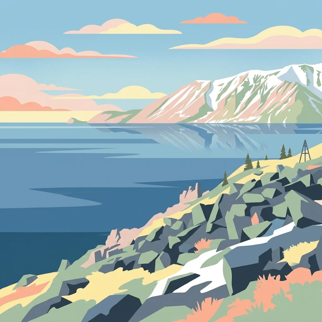
Stylized illustration of a mountainous coastline with rocky shore, calm water, and snow-capped peaks under a sky with clouds
National parkChukotka Autonomous Okrug
About 1,170 km away#17 closest

Northwest

Beringia National Park: Arctic Tundra and Mountain Landscape Discovery in Chukotka

Explore protected boundaries and subarctic geographic features

Beringia National Park offers an expansive look at the subarctic ecosystems of the Chukchi Peninsula. This protected area preserves a unique terrain characterized by low-lying tundra plains and dramatic mountain ridges. Its position along the Bering Strait provides significant geographic context for understanding northern land connections and the remnants of ice age migrations within the Russian Arctic wilderness.

Area
30,532 km²
Established
2013
IUCN
II
Relief
Mixed relief
State or regional parkBritish Columbia
About 1,183 km away#18 closest

East

Great Glacier Provincial Park: Glacial Geography and Protected Wilderness in Northern British Columbia

A rugged mountain landscape within the Stikine River corridor.

Great Glacier Provincial Park protects a compact, visually intense glacial environment along the Stikine River. Established to preserve the dramatic Great Glacier as it descends from the Boundary Ranges, this protected area features deep river valleys, steep mountainous slopes, and a unique ecological transition zone near the international border.

Area
93 km²
Established
2001
IUCN
II
Relief
Mountain
Wildlife reserveAlaska
About 1,198 km away#19 closest

East

Forrester Island Wilderness: Mapped Protected Landscapes and Wildlife Reserve Geography

Isolated island terrain in the Alaska Maritime National Wildlife Refuge

This remote wilderness area in Alaska features a mountainous, forested profile and sheer coastal cliffs that drop directly into the Pacific Ocean. Its protected boundaries are vital for maintaining undisturbed marine mammal habitat and temperate coastal forest ecosystems, offering a distinct example of isolated island geography within the United States.

Area
10.29 km²
Established
1912
Relief
Upland
Climate
Temperate
National parkNorthwest Territories
About 1,206 km away#20 closest

Northeast

Nááts'ihch'oh National Park Reserve: Mapped Protected Landscape in Northwest Territories

Explore its geographic boundaries and regional context.

Gain a structured understanding of Nááts'ihch'oh National Park Reserve, a significant protected national park within the Northwest Territories. This detail provides context for its geographical placement and the extent of its protected landscape, vital for anyone exploring the region's natural areas through maps and atlas data.

Area
4,850 km²
Established
2014
IUCN
II
Visitors
109 annual
Distance methodology

Geographic measurements, not driving distances

How nearby park distances are calculated

Distances use park boundaries whenever the available geometry allows it. When one or both boundaries are missing, the mapped park locations provide a clearly labelled estimate. Every value represents straight-line geographic separation and does not use roads or routing.

Boundary distance

Calculated between the nearest points of both park boundaries.

Location-to-boundary estimate

Estimated from one mapped park location to the nearest boundary of the other park.

Mapped-location estimate

Estimated between the mapped locations of both parks.

MoriAtlas Explorer

Examine the Protected Landscapes of Kachemak Bay National Estuarine Research Reserve

Continue your geographic exploration into the marine and forested terrain of this massive Alaska reserve. MoriAtlas provides a clear view of the protected boundaries and regional context for one of the most ecologically significant coastal areas in the United States.