Mori Atlas logo
Nearby park discovery

Geographic analysis of neighboring protected landscapes and regional topography

National Parks and Protected Areas Surrounding the Serranía de Macuira Mountain Range

Browse the geographic distribution of protected areas and natural landscapes situated in the vicinity of Serranía de Macuira. This collection facilitates the mapping of surrounding mountain and desert terrain, offering insights into regional connectivity and topography near the La Guajira region.

Related tags

Mountain RangesCloud ForestsDesert OasisEndemic SpeciesNational Parks

A mountain oasis of cloud forest rising from the La Guajira Desert

Serranía de Macuira

Serranía de Macuira is a dramatic mountain range standing isolated in the heart of the La Guajira Desert in northern Colombia. Rising abruptly from the semi-arid lowlands at the southern edge of the Caribbean coast, the range reaches elevations of 864 meters at Cerro Paluou, creating a unique ecological island that supports cloud forest and dwarf tree ecosystems entirely surrounded by desert terrain. This striking contrast makes Macuira one of the most geographically distinctive protected areas in South America, where trade winds from the Caribbean collide with the mountain slopes to produce persistent moisture and lush vegetation in what would otherwise be an extension of the arid La Guajira peninsula.

Location
Colombia
Park type
National park
Area
250 km²
Highest point
864 m
Serranía de Macuira National Park Map
Regional park map

See the ranked park cluster in its geographic setting

Nearby parks around Serranía de Macuira

This regional map shows the same 20 nearby parks ranked below around Serranía de Macuira. Select a ranked marker to highlight that park’s boundary where boundary data is available.
Reference park: Serranía de MacuiraRanked nearby park20 nearby parks shown
20 nearby parks

Distance separation and regional geographic comparison signals for surrounding terrain

Ranked Parks and Protected Areas Geographically Near Serrania de Macuira

Geographic distance measurements rank surrounding protected areas to establish clear spatial relationships with Serrania de Macuira. Country context and recorded environmental metrics provide structured comparison signals for analyzing regional park geography without implying shared habitats.
Watercolor painting of a beach with cacti, sandy shore, and coastal waters
National parkLa Guajira
About 76 km away#1 closest

West

Bahía Portete, Kaurrele National Natural Park: Mapped Protected Landscape in La Guajira

Explore National Park Geography and Boundaries

Bahía Portete, Kaurrele National Natural Park represents a key protected landscape entity within the La Guajira region of Colombia. This national park's defined geographic scope and mapped protected area status provide a solid foundation for atlas-driven exploration. Understand its role in the regional geography, trace its boundaries, and discover the unique landscape characteristics that define this significant protected territory through structured data.

Area
140.8 km²
Established
2014
Relief
Lowland
Climate
Arid
Wildlife reserveEstado Zulia
About 132 km away#2 closest

South

Ciénaga de Los Olivitos: Geographic Profile of a Coastal Wetland Wildlife Reserve

Explore tidal mangrove systems and lagoon habitats in Estado Zulia.

Ciénaga de Los Olivitos serves as a major coastal refuge, defined by its extensive network of saline lagoons, tidal mangrove channels, and sandy beaches. Recognized for its international ecological importance, this protected landscape provides a detailed look at the water-rich topography of the western Venezuelan coast. Examine the structural components of this marshy terrain and its role within the broader regional geography of the Lake Maracaibo basin.

Area
260 km²
Established
1996
IUCN
Ib
Relief
Lowland
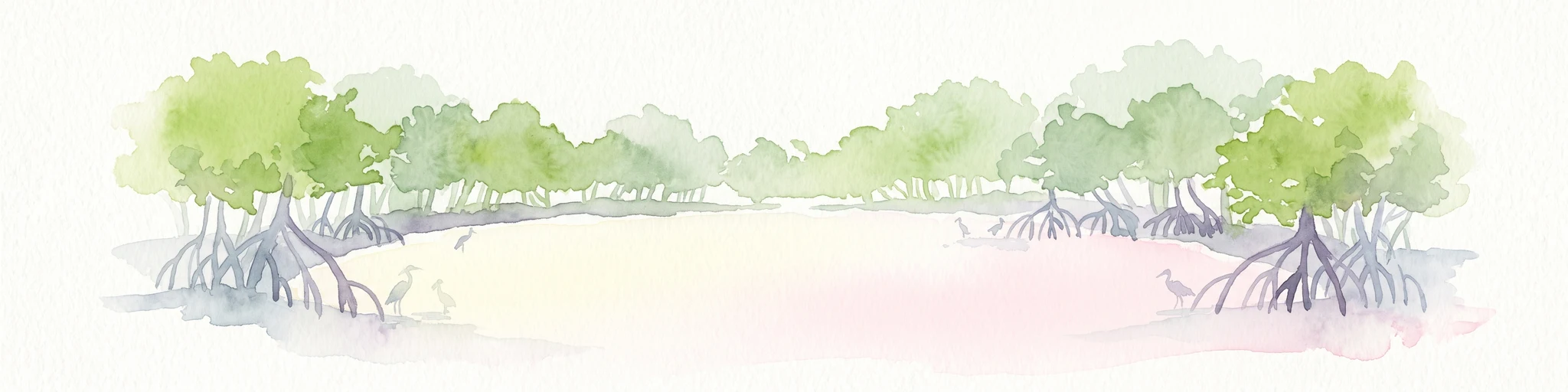
Watercolor painting of mangrove trees with exposed prop roots lining a sandy shore.
Marine protected areaAruba
About 153 km away#3 closest

East

Marine Park Aruba: An Atlas of Protected Coastal Waters and Marine Conservation Zones

Mapping the four-part reserve network across the island coastline

Marine Park Aruba consists of four separate marine protected areas that safeguard the most ecologically significant coastal waters of the island. The reserves protect a diverse array of marine landscapes, ranging from calm mangrove lagoons and seagrass beds to intricate fringing coral reefs. This data-driven overview tracks the park boundaries and regional distribution of these critical Caribbean habitats.

Area
60.2 km²
Established
2019
Relief
Lowland
Climate
Tropical
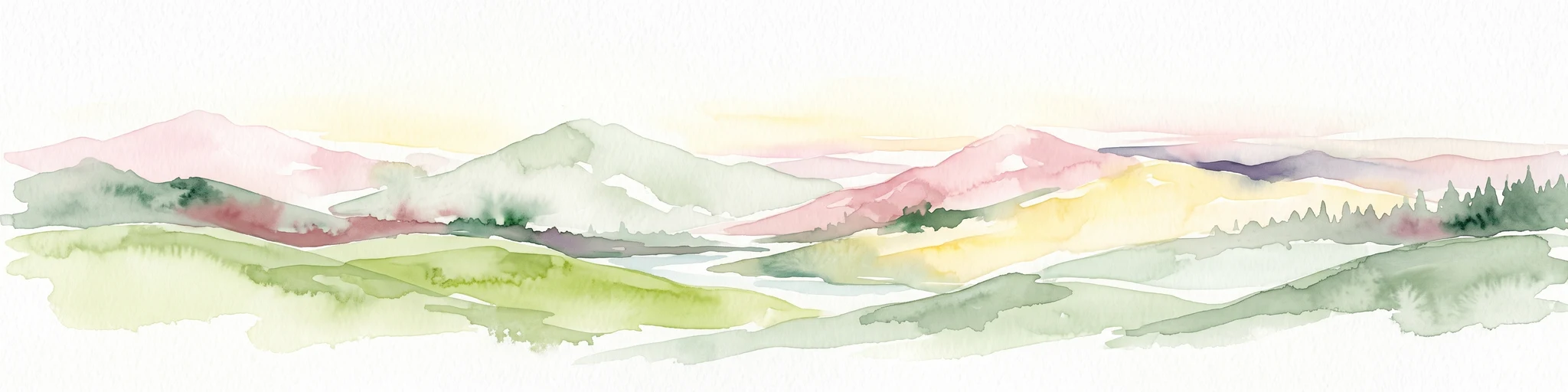
A watercolor painting showing a wide, panoramic view of rolling green hills, distant mountains in shades of pink and muted green, and clusters of evergreen trees against a white background.
National parkAruba
About 157 km away#4 closest

East

Arikok National Park: Mapping the Protected Landscapes and Geological Features of Northern Aruba

Exploring the terrain, coastal cliffs, and cultural heritage of Aruba's premier reserve.

Spanning over 7,000 acres, Arikok National Park forms the core of Aruba's conservation landscape. The park showcases a complex geological story, from the ancient volcanic Aruba Lava Formation and Batholith to the younger, porous limestone plateaus of the south. This protected zone provides a vital refuge for endemic species such as the Aruban rattlesnake and burrowing owl, while preserving layered cultural remnants from Arawak petroglyphs to early gold mining ruins.

Area
32 km²
Established
2000
IUCN
II
Visitors
10K annual
National parkFalcón State
About 158 km away#5 closest

East

Médanos de Coro National Park: Venezuela's Unique Arid Landscape and Protected Dune System

Explore the mapped geography of this coastal desert in Falcón State.

Médanos de Coro National Park represents a remarkable protected area within Venezuela's Falcón State, renowned for its spectacular and active sand dune systems. This national park encompasses approximately 91 square kilometers of unique terrain, including large sand formations, salt marshes, and mangrove swamps, contributing to its designation as a key conservation site for arid coastal ecosystems. Users can explore the park's distinctive landscape, understand its geographic context, and discover the patterns of wind-sculpted dunes that define this Venezuelan national park.

Area
91 km²
Established
1974
IUCN
II
Relief
Lowland
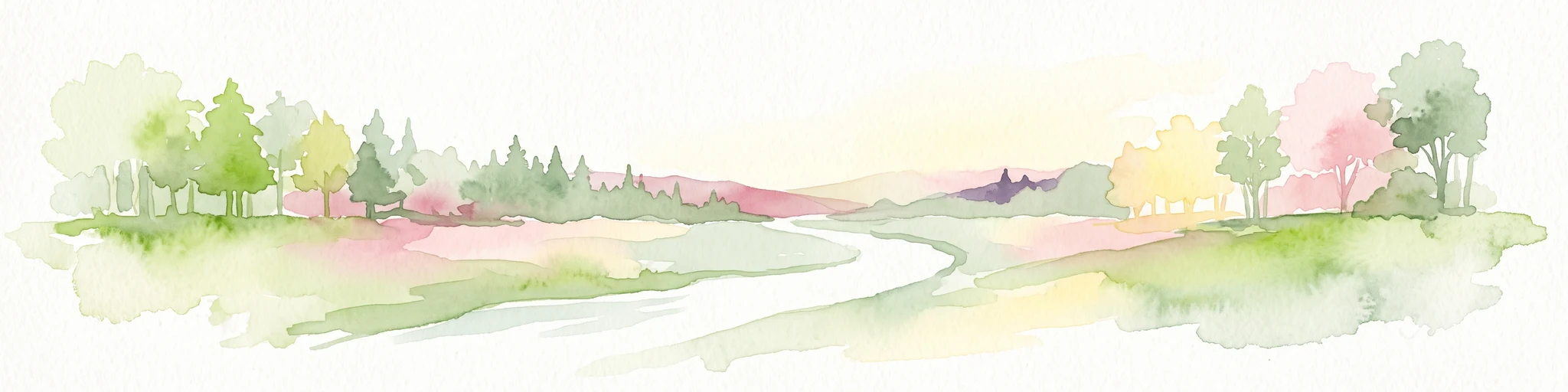
A watercolor painting of a gentle landscape featuring a stream flowing through a grassy meadow bordered by trees with soft pastel colors.
National parkFalcón
About 212 km away#6 closest

Southeast

Parque nacional Juan Crisóstomo Falcón: Karst Geology and Sierra de Falcón Geography

Protected karst mountains, cave systems, and water networks in northern Venezuela.

Parque nacional Juan Crisóstomo Falcón encompasses a distinct limestone landscape within the Sierra de Falcón. This protected area is recognized for vertical sinkholes, sprawling subterranean galleries, and the Fosa de San Luis. As a key water source for the region, the park presents a compact mosaic of varied mountain terrain, encompassing both cloud forest and arid woodland zones across its mountainous expanse.

Area
200 km²
Established
1987
IUCN
II
Relief
Mountain
National parkVenezuela
About 212 km away#7 closest

Southeast

Juan Crisóstomo Falcón National Park: Venezuela's Protected Area and Landscape Geography

Mapped boundaries and regional context for this Venezuelan national park.

Juan Crisóstomo Falcón National Park represents a distinct protected area within Venezuela, offering specific insights into its geographic identity and mapped landscape. This entry facilitates a deeper understanding of the park's protected boundaries and its place within the national and regional atlas of South America. Explore the terrain and natural context that define this significant Venezuelan national park for structured geographic discovery.

Wildlife reserveColombia
About 212 km away#8 closest

Southwest

Los Flamencos Sanctuary Wildlife Reserve: Geographic Context and Protected Landscape

Mapped boundaries within Colombia's natural geography.

Los Flamencos Sanctuary is a designated wildlife reserve contributing to the protected landscapes of Colombia. This entry provides a detailed look at its geographic setting and mapped features, crucial for understanding its ecological significance and atlas placement. Explore the protected area's context within the diverse geography of South America, offering a structured perspective for landscape discovery.

Area
0.077 km²
Established
1977
Relief
Lowland
Climate
Tropical
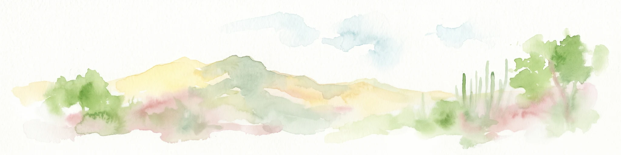
Watercolor painting of a landscape featuring green trees, hills, and cacti under a light blue sky
National parkCuracao
About 242 km away#9 closest

East

Christoffelpark National Park: Curacao's Volcanic Terrain and Protected Landscape Atlas

Explore mapped boundaries and unique dry forest ecosystems.

Christoffelpark represents Curacao's most vital protected natural area, offering a deep dive into its unique geography and landscape. This national park preserves the island's highest peak, Christoffelberg, alongside distinctive dry forest ecosystems, endemic species, and the remnants of colonial plantations. Explore the mapped terrain, understand the regional context, and appreciate the rich natural and cultural heritage that defines this important protected landscape on Curacao.

Area
10.4 km²
Established
1978
IUCN
II
Relief
Mixed relief
National parkVenezuela
About 293 km away#10 closest

Southeast

Cueva de la Quebrada del Toro National Park: Venezuelan National Park Protected Landscape

Explore its mapped boundaries and regional geographic context.

This page details Cueva de la Quebrada del Toro National Park, highlighting its status as a national park within Venezuela. Understand the park's geographic setting, its role as a protected landscape, and its mapped presence within the country's natural reserves. It provides essential context for exploring its protected boundaries and regional significance for atlas-based discovery.

Area
48.85 km²
Established
1961
IUCN
II
Relief
Upland
National parkLara State
About 296 km away#11 closest

Southeast

Cerro Saroche National Park: A National Park within Lara State's Geography

Explore the protected landscape and mapped boundaries.

Cerro Saroche National Park in Lara State, Venezuela, is a distinct protected area offering a valuable perspective for geographic and atlas exploration. This page provides essential details about its identity as a national park, highlighting its place within the regional landscape. Understanding Cerro Saroche National Park helps in appreciating the distribution of protected lands and their geographical significance across Venezuela.

Area
322.94 km²
Established
1989
IUCN
II
Relief
Mountain
Watercolor painting showing mountain range with green forests and colorful landforms
National parkColombia
About 297 km away#12 closest

Southwest

Sierra Nevada de Santa Marta National Park: Colombia's Iconic Coastal Mountain Geography

Witness dramatic elevation changes and unique protected ecosystems.

Sierra Nevada de Santa Marta National Park is a distinctive protected landscape located in northern Colombia. This isolated mountain range, a UNESCO Biosphere Reserve, features an unparalleled elevational gradient from sea level to nearly 5,700 meters. The park's geography encompasses a stunning diversity of ecosystems, including tropical dry forests, Andean cloud forests, unique páramo habitats, and glacial peaks, making it a vital area for atlas-based geographic discovery and conservation.

Area
3,830 km²
Established
1964
IUCN
II
Relief
Mountain
National parkZulia
About 312 km away#13 closest

South

Parque Nacional Ciénagas del Catatumbo: Wetland Protected Area and Regional Geography

Expansive marshland terrain in the Zulia state of Venezuela

Parque Nacional Ciénagas del Catatumbo represents an extensive, flat mosaic of freshwater marshes, herbaceous grasslands, and gallery forests along the Catatumbo River delta. As a primary protected area in Zulia, it offers critical insights into lowland wetland ecosystems and the dynamic transition zones bordering Lake Maracaibo.

Area
2,694 km²
Established
1991
IUCN
II
Relief
Lowland
National parkVenezuela
About 312 km away#14 closest

South

Ciénagas del Catatumbo National Park: Venezuela's Freshwater Marsh Protected Landscape

Mapped wetland geography and diverse tropical savanna ecosystems.

Ciénagas del Catatumbo National Park is a vital protected area safeguarding extensive marshland and savanna ecosystems in northwestern Venezuela, specifically within the Lake Maracaibo basin. This national park is recognized for its significant freshwater marsh complex, which supports a rich diversity of bird species and plays a crucial role in the watershed's ecological health. Exploring this park offers a focused discovery of tropical wetland geography and protected landscape features.

IUCN
II
Water
Major water bodies
National parkColombia
About 312 km away#15 closest

West

Tayrona National Natural Park: Protected Landscape and Biodiversity Atlas

Explore its unique geography, mapped terrain, and vital ecosystems.

Tayrona National Natural Park serves as a prime example of a protected natural landscape at the confluence of major geographic features. Situated in Colombia's Caribbean coast, it is defined by the foothills of the Sierra Nevada de Santa Marta rising towards the sea, creating a distinct regional geography. Users can explore its mapped boundaries, understand its ecological gradient from coastal zones to montane forests, and appreciate its significance as a vital conservation area with rich biodiversity.

Area
180 km²
Established
1964
IUCN
II
Visitors
545.8K annual
National parkBonaire
About 317 km away#16 closest

East

Washington-Slagbaai National Park: Mapping the Protected Terrain of Northern Bonaire

Saline wetlands, volcanic peaks, and coastal ecology

Washington-Slagbaai National Park represents a cornerstone of Bonaire's conservation identity. The protected area features a striking blend of salt-tolerant mangrove systems, expansive salinas, and the rising slopes of Brandaris. This geographic overview highlights the physical characteristics and ecological distribution within one of the oldest national parks in the Dutch Caribbean, mapping the convergence of arid scrubland and marine environments.

Area
56.43 km²
Established
1969
Relief
Upland
Water
Major water bodies
National parkVenezuela
About 330 km away#17 closest

Southeast

Dinira National Park: Protected Watershed and Andean Mountain Landscape

Explore its rugged terrain and páramo ecosystem.

Dinira National Park is a significant protected area in Venezuela, covering rugged Andean terrain vital for watershed protection. This national park features dramatic mountain landscapes, including the Humocaro Mountains and the Los Nepes páramo zone, supporting diverse cloud forest and high-altitude ecosystems. Understanding Dinira National Park offers insight into the geographic context of the Cordillera de Mérida and its hydrological importance.

Area
453.28 km²
Established
1988
IUCN
II
Relief
Mountain
National parkLara State
About 334 km away#18 closest

Southeast

Yacambú National Park National Park: Protected Cloud Forest Landscape in Lara State

Mapped terrain and significant orchid diversity in Venezuela's Andean foothills.

Yacambú National Park is a significant national park in Venezuela's Lara State, protecting crucial humid cloud forest ecosystems in the Andean foothills. The park's terrain is defined by the mountainous topography of the Portuguesa Mountain Range, supporting a rich diversity of flora, including numerous orchid species. Its role in watershed protection for nearby regions underscores its importance as a conserved natural landscape with vital ecological functions.

Area
146 km²
Established
1962
IUCN
II
Relief
Mountain
National parkVenezuela
About 337 km away#19 closest

South

Sierra La Culata National Park: Protected Landscape Atlas of the Venezuelan Andes

Explore the páramo ecosystems and mapped terrain of this Venezuelan national park.

Sierra La Culata National Park offers a profound look into the unique geography of the Venezuelan Andes. This protected national park is characterized by its expansive páramo ecosystems, dramatic mountain peaks, and glacial lagoons, creating a distinctive high-altitude wilderness. Use this atlas-focused entry to understand the park's mapped boundaries and its significant role within the region's natural landscape context.

Area
2,004 km²
Established
1989
IUCN
II
Relief
Mountain
National parkVenezuela
About 340 km away#20 closest

Southeast

Terepaima National Park: Venezuela's National Park Protected Landscape

Mapped Boundaries and Regional Geography

Terepaima National Park is a designated national park within Venezuela, offering a clear focus for atlas-driven exploration of protected natural areas. This entry highlights the park's significance as a mapped protected landscape, providing essential geographic context and detail for understanding its boundaries and regional setting. It is an integral component for any structured discovery of Venezuela's conservation network.

Area
186.5 km²
Established
1976
IUCN
II
Relief
Mountain
Distance methodology

Geographic measurements, not driving distances

How nearby park distances are calculated

Distances use park boundaries whenever the available geometry allows it. When one or both boundaries are missing, the mapped park locations provide a clearly labelled estimate. Every value represents straight-line geographic separation and does not use roads or routing.

Boundary distance

Calculated between the nearest points of both park boundaries.

Location-to-boundary estimate

Estimated from one mapped park location to the nearest boundary of the other park.

Mapped-location estimate

Estimated between the mapped locations of both parks.

MoriAtlas Explorer

Continue Exploring Serranía de Macuira's Protected Geography

Deepen your understanding of Serranía de Macuira National Park by examining its detailed geographic features and protected landscape context. Discover how its mapped boundaries contribute to the atlas of natural areas in La Guajira, offering a foundation for comprehensive geographic discovery beyond the immediate park entity.