Mori Atlas logo
Nearby park discovery

Map-based exploration of geographical neighbors and regional protected landscapes

Regional Protected Areas and National Parks Surrounding Siniaka-Minia National Park

Identify protected areas situated in the geographic vicinity of Siniaka-Minia National Park in central Chad. This resource maps the regional distribution of natural landscapes and helps clarify the spatial context of protected lands across these distinctive savanna and riverine plains.

Related tags

savanna protected areawildlife conservationcentral Africalarge mammal habitatIUCN Category IV

Chad's savanna wilderness protecting endangered species

Siniaka-Minia National Park

Siniaka-Minia National Park is a protected area located in central Chad, spanning the Guéra and Moyen-Chari regions. Established in 1965 as a conservation reserve and elevated to national park status in 2023, it covers approximately 4,260 square kilometers of diverse terrain. The park features a vast plain landscape dominated by a prominent massif that rises to 1,613 meters, with ephemeral river systems including the Siniaka and Dorioum draining the area. These seasonal watercourses create vital water holes that sustain wildlife during the dry summer months. The protected area was originally designated with a focus on preserving the black rhinoceros, though poaching led to the local extinction of this species by the late 1970s. Today, the park supports a range of ecosystems from Sudan savanna in the southern reaches to thorny bush landscapes in the north, along with important wetland areas.

Location
Chad
Park type
National park
Established
1965
Area
4,260 km²
Highest point
1,613 m
Siniaka-Minia National Park protected area
Regional park map

See the ranked park cluster in its geographic setting

Nearby parks around Siniaka-Minia National Park

This regional map shows the same 20 nearby parks ranked below around Siniaka-Minia National Park. Select a ranked marker to highlight that park’s boundary where boundary data is available.
Reference park: Siniaka-Minia National ParkRanked nearby park20 nearby parks shown
20 nearby parks

Distance-ranked conservation areas and regional park geography comparisons

Parks and Protected Areas Geographically Near Siniaka-Minia National Park

Examine the ranked collection of nearby protected areas surrounding Siniaka-Minia National Park through direct geographic separation and directional metrics. Reviewing these surrounding landscapes provides structured environmental comparison signals across the broader regional territory.
National parkGuéra Region
About 141 km away#1 closest

East
Zakouma National Park: Chad's Premier National Park and Protected Landscape

Explore the mapped savanna, acacia forests, and wildlife geography.

Zakouma National Park is Chad's oldest and most ecologically vital protected area, spanning 3,000 square kilometers of Sudano-Sahelian landscape. Situated within the Guéra Region, it is globally recognized for its exceptional Kordofan giraffe population, significant elephant recovery, and ongoing conservation successes, offering a unique view into African wildlife and protected area management.

Area
3,000 km²
Established
1963
IUCN
II
Relief
Lowland
National parkMoyen-Chari Region
About 142 km away#2 closest

South

Manda National Park: National Park Protected Landscape and Geographic Identity in Moyen-Chari

Discover mapped terrain and regional context for this Chad national park.

Manda National Park, a protected natural area within Chad's Moyen-Chari Region, offers valuable insights into regional geography and mapped protected landscapes. This detail page provides focused information on the park's identity as a national park, emphasizing its geographic setting and the importance of its mapped boundaries for structured atlas exploration. Understand how this protected area contributes to the diverse natural terrain of the Moyen-Chari Region.

Area
1,140 km²
Established
1969
IUCN
II
Climate
Tropical
National parkChad
About 244 km away#3 closest

East

Aouk National Park National Park: Mapped Protected Landscape and Regional Geography

Explore Chad's Aouk National Park boundaries and terrain.

Investigate Aouk National Park, a significant national park in Chad, through its detailed mapping and protected landscape attributes. This entry provides insight into the park's geographic placement within Central Africa, emphasizing its role as a conservation area. Users can explore the mapped boundaries and regional geographic context, facilitating a structured understanding of this protected territory for atlas-based research and discovery.

Area
7,400 km²
IUCN
II
Access
Moderate access
Scope
Terrestrial
National parkCentral African Republic
About 355 km away#4 closest

Southeast

Bamingui-Bangoran National Park: Protected Landscape and Geographic Context in Central Africa

Explore the savanna, forest, and riverine landscapes of this expansive national park.

Bamingui-Bangoran National Park represents a significant protected area within the Central African Republic, offering a rich landscape for geographic exploration. This page details the park's extensive savanna and tropical dry forest habitats, its role within the Guinea-Congo Forest biome, and its vital river systems like the Bamingui and Bangoran Rivers. Gain a clear understanding of its protected boundaries and its importance in regional conservation, providing valuable context for atlas-based discovery of Central African natural landscapes.

Area
11,191 km²
Established
1993
IUCN
II
Relief
Upland
National parkFar North Region
About 375 km away#5 closest

West

Waza National Park: A Designated Protected Landscape in the Far North Region

Mapped Boundaries and Regional Geographic Context

Waza National Park stands as a vital protected natural landscape in Cameroon's Far North Region. This entry provides a deep dive into its mapped protected-area boundaries and its significance within the broader regional geography. Explore the specific landscape identity of this national park through an atlas-focused lens, understanding its terrain and context without travel logistics or visitor advice.

Area
1,700 km²
Established
1934
IUCN
II
Relief
Lowland
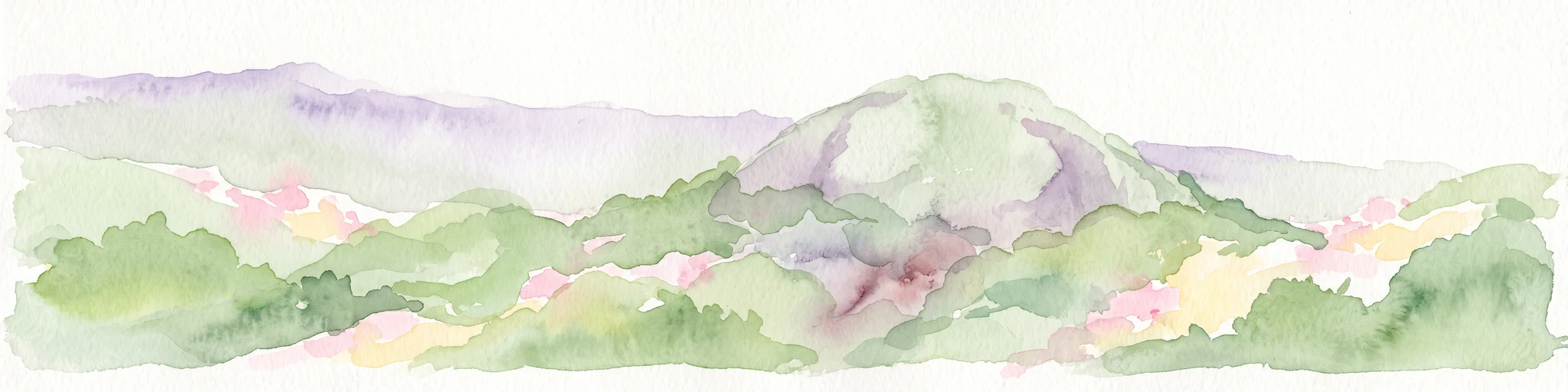
A horizontal watercolor painting showing rolling green hills and a central rocky outcrop against a soft background.
National parkExtrême-Nord
About 382 km away#6 closest

West

Parc national de Ma Mbed Mbed: Geography and Protected Landscape Map Details

Extrême-Nord savanna buffer and transboundary conservation corridor.

Parc national de Ma Mbed Mbed is a key protected area covering 181 square kilometers of transitional savanna in Cameroon. Its location at the edge of the Sahelian zone creates a unique ecological interface, supporting critical elephant corridors and complex water-dependent vegetation patterns that feed into transregional river basins.

Area
181 km²
Established
2009
IUCN
II
Relief
Lowland
National parkExtrême-Nord
About 389 km away#7 closest

Northwest

Parc national de Kalamaloué: A Deep Geographic Analysis of Cameroon's Yaéré Floodplain

Mapped protected landscapes along the Logone and Chari rivers.

Parc national de Kalamaloué serves as a prime case study for sudano-sahelian geography, defined by its flat terrain and the seasonal inundation of the Logone basin. The park provides an essential look at how river hydrology influences small-scale protected habitats, ranging from dense mangrove fringes to dry acacia-dominated woodlands.

Area
45 km²
Established
1972
IUCN
II
Relief
Lowland
National parkSila Province
About 397 km away#8 closest

Northeast

Goz Beïda National Park: National Park Protected Landscape and Geographic Context

Explore mapped boundaries and regional terrain.

Gain a structured understanding of Goz Beïda National Park, a key protected area within Sila Province. This detail page provides insights into its geographic setting, offering mapped landscape context for atlas-based discovery. Learn about the park's specific protected area identity and its position within the regional geography.

Area
3,000 km²
IUCN
II
Scope
Terrestrial
Water
No major water
National parkCameroon
About 405 km away#9 closest

Southwest

Bouba Njida National Park: A Protected Landscape within Cameroon's National Park Atlas

Discover its mapped geography and regional context.

Bouba Njida National Park represents a key component of Cameroon's protected lands, contributing essential context to any atlas of Central African geography. As a designated national park, it offers a distinct focus for understanding mapped landscape features and the distribution of protected areas within the country. This park serves as a vital point of reference for exploring the nation's natural terrain and its significance within the broader context of regional conservation efforts.

Area
2,200 km²
Established
1980
IUCN
II
Relief
Upland
National parkCentral African Republic
About 414 km away#10 closest

Southeast

St Floris National Park: Central African Republic's Expansive Protected Savanna Landscape

Discover its mapped boundaries and regional geographic context.

St Floris National Park, situated in the Central African Republic, is a vast protected savanna ecosystem vital for understanding regional geography and landscape conservation. This national park spans approximately 17,400 square kilometers, featuring diverse terrain from open grasslands to riverine woodlands and floodplains, critical for large mammal populations and birdlife. Its mapped extent and ecological significance make it a key entry in any atlas of protected areas, showcasing the challenges and importance of savanna conservation in Central Africa.

Area
17,400 km²
Established
1979
IUCN
II
Scope
Terrestrial
National parkCameroon
About 432 km away#11 closest

Southwest

Bouba Ndjida National Park: A Protected Savanna Landscape in Northern Cameroon's Geography

Explore its mapped boundaries and diverse terrain.

Bouba Ndjida National Park, situated in northern Cameroon, serves as a critical protected savanna and woodland ecosystem. This park, one of Cameroon's oldest national parks, is recognized for its expansive grasslands, scattered woodlands, and gallery forests that sustain diverse wildlife, particularly large mammals. Its location within an ecological transition zone provides a rich geographic context, making it an important area for understanding protected landscape dynamics and regional conservation within the broader atlas.

IUCN
II
National parkNigeria
About 437 km away#12 closest

West

Chad Basin National Park: Exploring Nigeria's Protected Natural Landscape

Mapped protected area and regional geography context.

Chad Basin National Park is a key protected landscape within Nigeria, designated as a national park. This page serves as a gateway to understanding its specific geographic identity, mapped boundaries, and its role within the country's natural terrain. Users can explore detailed information, focusing on the park's atlas-relevant features and its contribution to Nigeria's protected areas, offering a distinct view of the nation's geography.

Area
2,258 km²
Established
1991
IUCN
II
Relief
Lowland
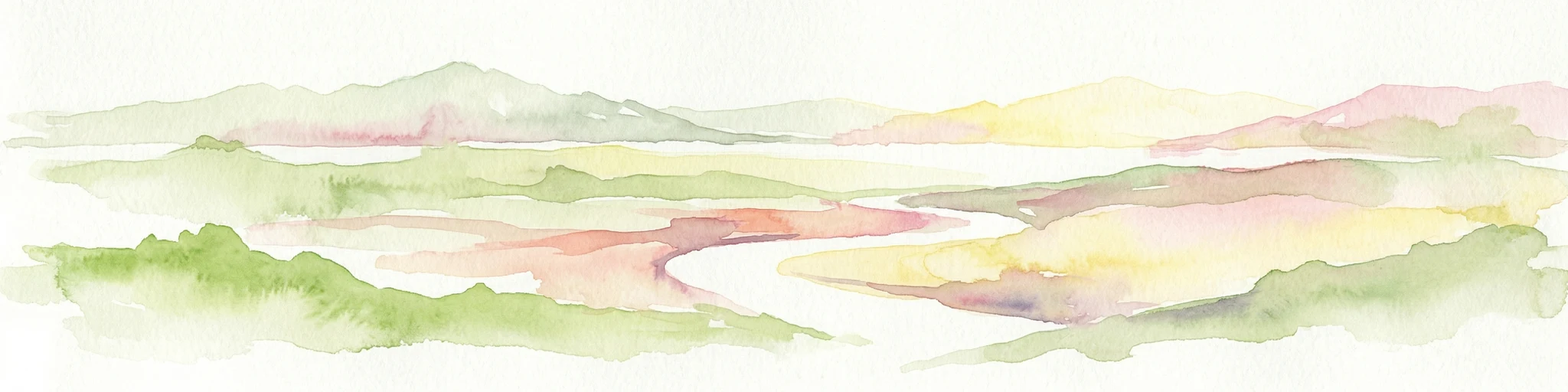
Watercolor illustration of a landscape with rolling hills, a winding river, and varied terrain in soft colors
National parkBénoué Department
About 501 km away#13 closest

Southwest

Bénoué National Park: Protected Landscape Atlas in Bénoué Department, Cameroon

Explore savanna woodland, riparian ecosystems, and geographic context.

Bénoué National Park is a vast protected landscape in Cameroon, defined by its Sudanian savanna woodland and significant frontage along the Bénoué River. Recognized as a UNESCO Biosphere Reserve, it offers critical insights into regional geography, habitat diversity, and the broader atlas of conservation lands in West Africa. Users can explore its varied terrain, from riverine zones to higher massifs, gaining a detailed understanding of this important protected area.

Area
1,800 km²
Established
1968
IUCN
II
Relief
Mixed relief
Wildlife reserveBorno
About 541 km away#14 closest

Northwest

Lake Chad Game Reserve: A Regional Geography and Wetland Protected Area Profile

Examining the floodplain terrain and hydrological network of Borno, Nigeria.

Lake Chad Game Reserve serves as a primary example of Sahelian wetland ecology, covering vast plains in Borno, Nigeria. The area is characterized by seasonal inundation and a diverse mosaic of swamps, marshes, and river corridors. This profile details the geographic boundaries and distinctive terrain that make the reserve a vital protected landscape within the West African environmental system.

Area
6,073.54 km²
IUCN
IV
Relief
Lowland
Climate
Tropical
National parkCentral African Republic
About 589 km away#15 closest

East

André Félix National Park National Park: Savanna Landscape Atlas & Protected Area

Central African Republic's protected lands geography.

André Félix National Park in the Central African Republic is an important protected area known for its expansive savanna terrain and its role in conserving significant populations of large African mammals, including elephants and giraffes. Established in 1960, this national park showcases the transitional Sudan-Guinea savanna ecosystem with diverse woodlands and riparian forests, offering a rich context for geographic exploration and understanding protected landscapes within Africa. Its mapped boundaries and natural features make it a key point of interest for atlas enthusiasts and conservation geography.

IUCN
II
Scope
Terrestrial
Water
No major water
National parkCameroon
About 615 km away#16 closest

Southwest

Faro National Park: Central Africa's Largest Hippo Population within Sudano-Sahelian Protected Landscape

Explore mapped boundaries and regional geography of this vital national park.

Faro National Park stands as a critical protected area within Cameroon, celebrated for its immense hippopotamus population and its role in conserving large mammals across the Sudano-Sahelian zone. The park's landscape comprises undulating savanna plains, river valleys, and elevated hilltops, offering a diverse geographic context for conservation. Its inclusion in a transboundary protected network highlights its importance for regional landscape mapping and ecological continuity. Understanding Faro National Park involves appreciating its unique habitat mosaic and its contribution to the protected areas atlas.

Area
3,418 km²
Established
1989
IUCN
II
Relief
Upland
National parkSudan
About 668 km away#17 closest

East

Radom National Park: A National Park in Sudan Offering Protected Landscape and Geographic Context

Explore mapped boundaries and regional terrain within Sudan.

Radom National Park is an important protected area designated as a national park in Sudan. This entry focuses on its specific geographic features and landscape characteristics, providing users with a detailed view of its mapped boundaries and regional context. Understanding Radom National Park's place within the atlas of African protected lands helps illuminate its natural terrain and conservation significance.

Area
12,509.7 km²
Established
1980
IUCN
II
Relief
Lowland
National parkTaraba State
About 705 km away#18 closest

Southwest

Gashaka Gumti National Park: A Deep Dive into Nigeria's Largest Protected Geographic Territory

Mapping the rugged terrain and ecological zones of Taraba State

Spanning over 6,000 square kilometers, Gashaka Gumti National Park is a massive protected expanse that defines the geographic character of northeastern Nigeria. The park integrates diverse environmental zones, including expansive savanna plains and the dramatic slopes of the Chappal Waddi mountain range. This protected area acts as a crucial node for regional biodiversity and remains a central feature in the mapped geography of Taraba State, offering a rare look at Nigeria's vertical landscape transition.

Area
6,402 km²
Established
1991
IUCN
II
Visitors
445 annual
National parkCameroon
About 740 km away#19 closest

Southwest

Mbam Djerem National Park: Cameroon's Designated National Park with Mapped Protected Boundaries

Explore its regional geography and protected landscape context.

Mbam Djerem National Park is a designated national park in Cameroon, serving as a vital protected area for understanding regional geography and landscape context. This entry provides a detailed perspective on its mapped boundaries and its contribution to the protected lands inventory. Discover the park's significance as a distinct national park entity, offering specific geographic insights for atlas exploration.

Area
4,234.78 km²
Established
2000
IUCN
II
Relief
Upland
National parkCentral African Republic
About 752 km away#20 closest

South

Mbaéré-Bodingué National Park: Central African Republic National Park Protected Landscape Atlas

Explore its savanna-rainforest mosaic and mapped river boundaries.

Mbaéré-Bodingué National Park, a national park in the Central African Republic, offers a unique protected landscape defined by its ecological diversity. Covering 866 square kilometers, its boundaries are shaped by the Mbaéré and Bodingué rivers, creating a fascinating transition between savanna, lowland floodplain forest, and tropical rainforest. This park serves as a key area for understanding regional geography and mapped natural terrain within Central Africa, highlighting the conservation value of its distinct ecosystems and habitats.

Area
866 km²
Established
2007
IUCN
V
Relief
Lowland
Distance methodology

Geographic measurements, not driving distances

How nearby park distances are calculated

Distances use park boundaries whenever the available geometry allows it. When one or both boundaries are missing, the mapped park locations provide a clearly labelled estimate. Every value represents straight-line geographic separation and does not use roads or routing.

Boundary distance

Calculated between the nearest points of both park boundaries.

Location-to-boundary estimate

Estimated from one mapped park location to the nearest boundary of the other park.

Mapped-location estimate

Estimated between the mapped locations of both parks.

MoriAtlas Explorer

Continue Exploring Siniaka-Minia National Park's Geographic and Protected Landscape Details

Delve deeper into the specific protected landscape and mapped geography of Siniaka-Minia National Park. Understanding this key area within Chad enriches your atlas exploration of Central Africa's natural terrains. Gain detailed insights into its boundaries and role as a national park, providing a foundational understanding for broader geographic discovery within the region.