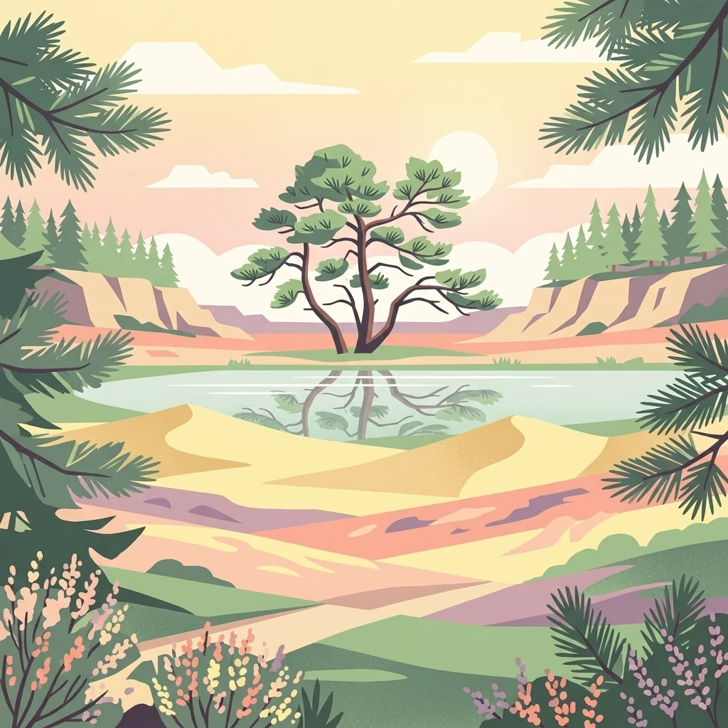
Netherlands' largest forested natural region, shaped by ice-age push moraines, heathlands, and shifting sands.
Veluwe
The Veluwe is a predominantly forested natural region in the Dutch province of Gelderland, covering roughly 1,000 square kilometers between the IJssel valley, the Veluwerandmeren, the Nederrijn, and the Gelderse Vallei. It is one of the most ecologically significant areas in the Netherlands, recognized as a Natura 2000 site and hosting a rich mosaic of forests, heathlands, inland sand dunes, fens, and spring-fed streams.
Geologically, the landscape is dominated by push moraines formed during the Saalian glaciation around 150,000 years ago, making the Veluwe the highest ice-pushed ridge in the Netherlands outside of South Limburg. The Signaal Imbosch, at 110 meters, marks the region's high point. Human history runs deep here too, from prehistoric burial mounds and Celtic fields, through medieval deforestation that triggered massive sand drift, to the large-scale reforestation programs of the late 19th and early 20th centuries that transformed a near-desert back into woodland.
Today the Veluwe stands out as a major destination for wildlife observation and outdoor recreation in the Netherlands. It is home to red deer, wild boar, mouflon, and the recently returned European wolf, as well as iconic shifting sand landscapes like the Kootwijkerzand and the country's most important heathland complex. Within the Veluwe lie three national parks: Hoge Veluwe, Veluwezoom, and the broader protected Natura 2000 area that encompasses much of the region.