Mori Atlas logo
Nearby park discovery

A geographic atlas of nearby nature reserves and regional wetland environments

Regional Protected Areas and Natural Landscapes Surrounding Zwarte Meer in Overijssel

Discover the network of protected lands, nature reserves, and wetland areas situated in the immediate geographic vicinity of Zwarte Meer. This atlas-focused overview maps the regional distribution of protected terrain across the Overijssel landscape, providing context for the lake's position within a wider mosaic of riverine environments and reclaimed polder territories.

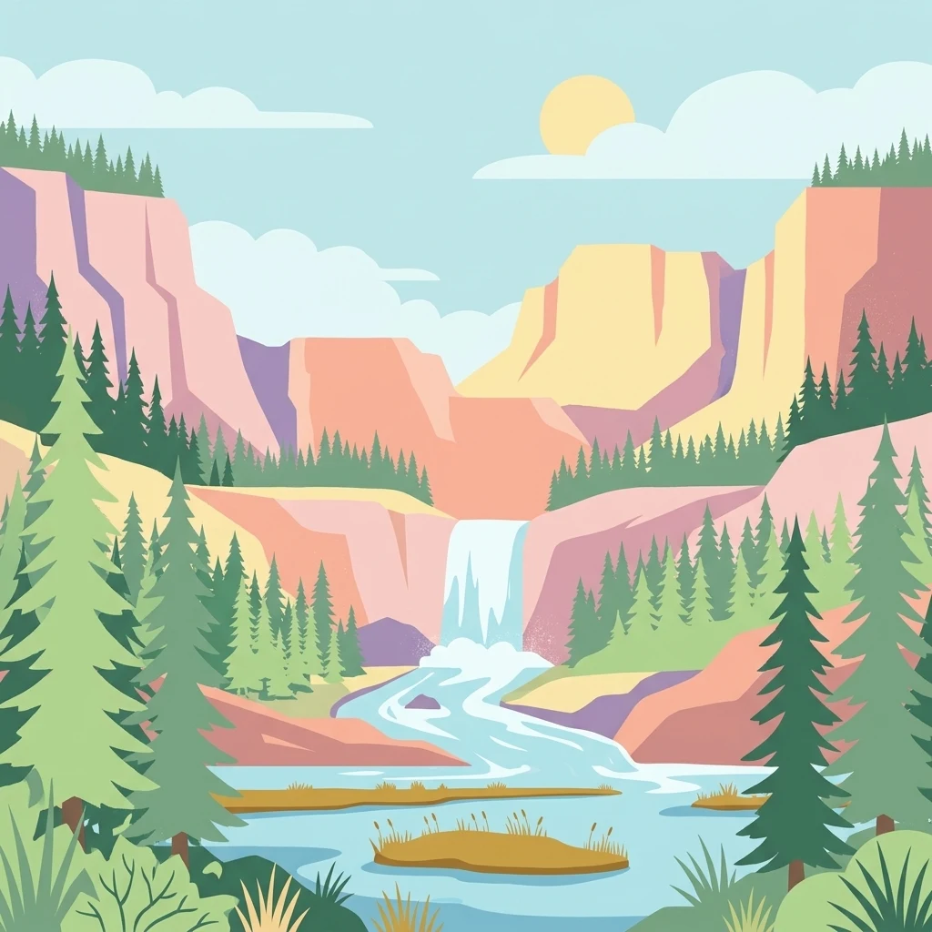
A flat-style digital illustration showing a waterfall flowing into a river surrounded by forested cliffs and rocky terrain under a pale blue sky.

Shallow Dutch border lake with protected reedlands and Important Bird Area status

Zwarte Meer

Zwarte Meer is a shallow freshwater lake in the central Netherlands, lying on the boundary between the provinces of Flevoland and Overijssel. It is one of the Randmeren Noord, the group of border lakes that separates the reclaimed Noordoostpolder from the older mainland. The lake was effectively created during the 1940s when the Noordoostpolder was enclosed, leaving a stretch of open water between the new polder and the original shoreline dominated by the Zwarte Water river system. Beyond its role as a navigable border lake, Zwarte Meer is recognized for its ecological value. A substantial part of its shoreline and a large southern reedmarsh have been designated as a Natura 2000 site, and BirdLife International has listed it as an Important Bird Area because of the significant populations of waterbirds and marsh species it supports. Broad reed fringes, the artificial Vogeleiland, and remnants of rush meadows shape a distinctly wetland character that complements the surrounding polders and river landscapes.

Location
Netherlands
Park type
Nature reserve
Established
1940
Area
21.6 km²
Zwarte Meer Nature Reserve Atlas
Regional park map

See the ranked park cluster in its geographic setting

Nearby parks around Zwarte Meer

This regional map shows the same 20 nearby parks ranked below around Zwarte Meer. Select a ranked marker to highlight that park’s boundary where boundary data is available.
Reference park: Zwarte MeerRanked nearby parkSelected boundary: Zwarte Meer20 nearby parks shown
20 nearby parks

Distance-ranked collection and regional park geography for comparative analysis

Parks and Protected Areas Geographically Near Zwarte Meer

Browse protected areas positioned geographically near Zwarte Meer, ranked by straight-line separation and direction. Structured environmental records and country context clarify broader regional landscape patterns without implying shared wetland habitats.
Protected areaFlevoland
0 km away#1 closest

West

Ketelmeer & Vossemeer: Protected Area Geography, Boundaries, and Landscape Context

Mapping freshwater lake dynamics in the Flevoland and Overijssel border region.

Ketelmeer & Vossemeer constitutes a significant Natura 2000 wetland complex where riverine floodplains meet engineered polder landscapes. This analysis provides insights into the site's role as a critical Important Bird Area and its position within the broader IJssel delta network of lakes and water channels.

Area
38.43 km²
Established
2013
Relief
Lowland
Climate
Temperate
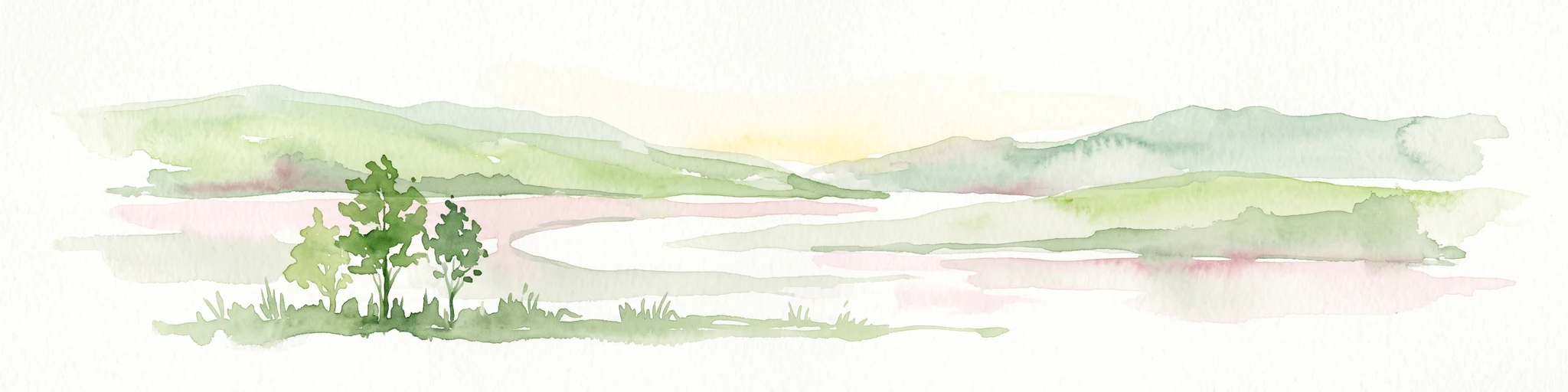
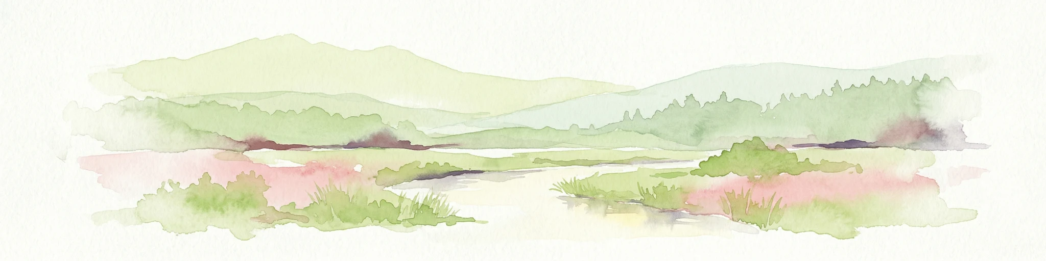
Watercolor painting of a wetland scene with a winding river, grassy areas, and distant hills
National parkOverijssel
1.2 km away#2 closest

Northeast

Weerribben-Wieden National Park: A Premier Lowland Peat Bog National Park in Overijssel

Explore mapped protected wetlands and unique hydrological landscapes.

Weerribben-Wieden National Park stands as a remarkable example of a large-scale lowland peat bog ecosystem, recognized as the most extensive and well-preserved in Northwestern Europe. Located in the Overijssel province, this protected area showcases a complex mosaic of interconnected waterways, expansive reed beds, and marshy woodlands. Our platform provides structured geographic context, enabling detailed map-based discovery of the park's unique terrain and ecological significance as a vital conservation landscape.

Area
105 km²
Established
1992
IUCN
II
Relief
Lowland
Nature reserveNetherlands
About 6.2 km away#3 closest

East

Olde Maten en Veerslootlanden Nature Reserve: Peatland and Strip Field Atlas

A preserved Natura 2000 cultural landscape in Overijssel

Discover the narrow pipe shaped parcels of Olde Maten en Veerslootlanden, a uniquely preserved peat meadow reserve in the eastern Netherlands. The landscape features a high concentration of alder woodlands, species rich ditches, and historic duck decoys that define this significant regional ecosystem.

Area
7.95 km²
Established
2013
Relief
Lowland
Scope
Terrestrial
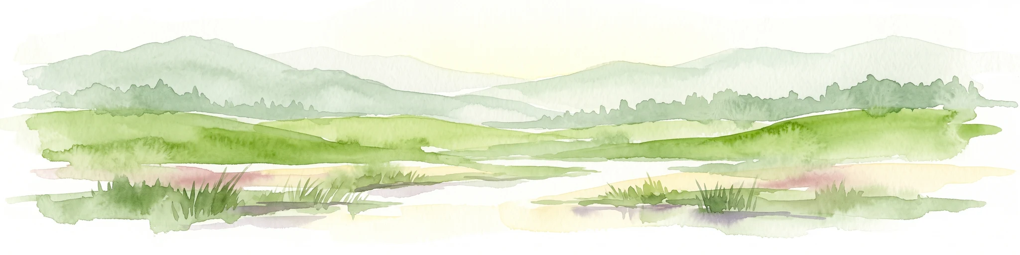
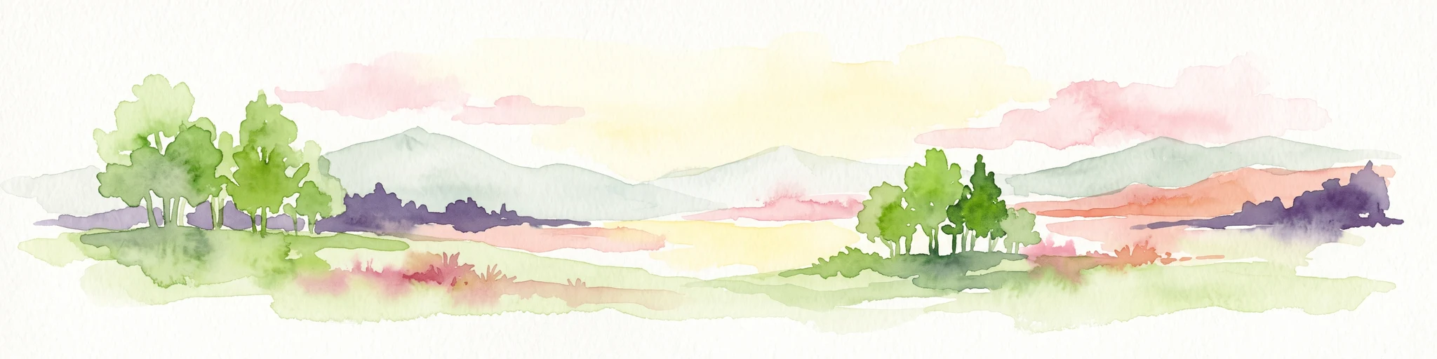
A watercolor landscape painting of a calm, shallow body of water surrounded by grassy, low-lying shores and soft, distant hills under a pale, white sky.
Protected areaNetherlands
13 km away#4 closest

Northwest

IJsselmeer: Geography and Protected Wetland Mapping of the Netherlands

Engineered freshwater landscapes and polder geography

The IJsselmeer acts as the central freshwater reservoir for the Netherlands, providing a expansive, horizon-dominated landscape shaped by the Afsluitdijk. As an internationally recognized wetland, it supports diverse waterbird populations within its intricate system of dikes, former tidal channels, and emerging nature islands. This protected area stands as a definitive example of large-scale, adaptive hydraulic management in a low-lying coastal nation.

Area
1,133 km²
Established
1932
Relief
Lowland
Climate
Temperate
Protected areaNetherlands
17 km away#5 closest

South

Veluwe: A Comprehensive Geographic Atlas of the Central Netherlands Protected Area

Glacial moraines, heathlands, and inland sand systems

Investigate the Veluwe, a premier protected area in the Gelderland province characterized by its historic push moraines and extensive ecological zones. The region encompasses significant sand drift complexes, dense woodlands, and vital spring-fed streams, offering a clear view of the diverse natural terrain found throughout the central Netherlands.

Area
1,000 km²
Relief
Upland
Climate
Temperate
Access
Easy access
National parkFlevoland
26 km away#6 closest

West

Nieuw Land National Park: Mapped Wetland Landscape on Flevoland's Reclaimed Land

Protected area geography and ecological discovery in the Netherlands

Nieuw Land National Park offers a distinctive protected landscape forged on land recently reclaimed from the sea in the Dutch province of Flevoland. This national park is characterized by its vast expanse of wetlands, artificial islands like the Marker Wadden, and critical importance for migratory bird populations. Delve into the park's geographic context and mapped features to understand its unique conservation value and role within the wider European atlas of protected areas.

Area
289 km²
Established
2018
IUCN
II
Relief
Lowland
Watercolor painting depicting a body of water, trees, and distant hills under a light sky
National parkDrenthe
27 km away#7 closest

Northeast

Dwingelderveld National Park: Drenthe's Vast Wet Heathland and Unique Pingo Lakes

Explore a protected landscape of heath, bogs, and ancient geography.

Dwingelderveld National Park represents a significant protected landscape in the Drenthe region of the Netherlands, celebrated as the largest wet heathland in Western Europe. This 37-square-kilometer area provides exceptional opportunities for atlas exploration, revealing a terrain composed of sandy ridges interspersed with waterlogged depressions. The park's defining features include more than forty natural pools, known as vennen, many of which are geologically important pingo-ruins. Discover the rich archaeological heritage, including ancient Celtic fields and burial mounds, all situated within this unique natural setting. MoriAtlas offers a structured view of Dwingelderveld National Park's distinct geography and protected ecological value.

Area
37 km²
Established
1991
IUCN
II
Relief
Lowland
Watercolor illustration of a landscape with green fields, trees, a body of water, and distant hills under a light sky
National parkDrenthe
29 km away#8 closest

Northeast

Drents-Friese Wold National Park: Protected Landscape and Geographic Exploration in Drenthe

Explore unique heathlands, drift-sands, and regional natural geography.

This entry details Drents-Friese Wold National Park, a crucial protected landscape in the Drenthe province. Understand its mapped boundaries, distinctive heath and drift-sand terrain, and its significance as a natural area. Discover the park's regional geographic setting and its role in the broader Dutch landscape atlas, providing context for its unique ecological and historical character.

Area
61 km²
Established
2000
IUCN
II
Relief
Lowland
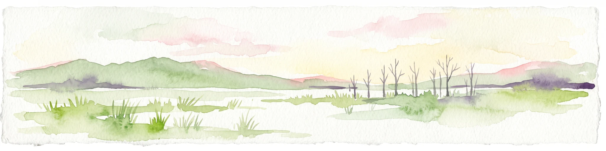
A horizontal watercolor painting depicting a wetland landscape with grassy foreground, bare skeletal trees, and rolling green hills under a soft, pale sky.
Nature reserveFlevoland
33 km away#9 closest

Southwest

Oostvaardersplassen Nature Reserve: Mapped Geography and Protected Area Context

Explore the marshland and polder terrain in Flevoland, Netherlands

Oostvaardersplassen represents a landmark in modern Dutch conservation, covering a 5,600-hectare mosaic of mudflats, reed beds, and willow thickets. This nature reserve, located between Almere and Lelystad, demonstrates the evolution of a young reclaimed landscape. It provides an essential habitat for marsh birds and large herbivores within the Nationaal Park Nieuw Land region, offering a distinct study in polder-based ecological management and wetland geography.

Area
56 km²
Established
1974
Relief
Lowland
Climate
Temperate
A minimalist watercolor illustration depicting green rolling hills, a cluster of trees in the foreground, and a body of water under a pale sky.
Nature reserveOverijssel
36 km away#10 closest

Southeast

Boetelerveld Nature Reserve: Landscape Geography and Protected Habitat Mapping

A critical wet heathland remnant in the Overijssel region.

Situated in the Salland region of Overijssel, Boetelerveld represents a dense convergence of heath, conifer forest, and small peat-influenced pools. The reserve is notable for its role as a protected area within the Natura 2000 network, offering insight into the restoration of sandy soil ecosystems and the preservation of rare, moisture-dependent flora and fauna in the eastern Netherlands.

Area
1.7 km²
Relief
Lowland
Climate
Temperate
Access
Easy access
Watercolor painting showing green hills, a lake, and distant mountains under a light sky
National parkOverijssel
40 km away#11 closest

Southeast

Sallandse Heuvelrug National Park: Overijssel's Glacial Ridge Protected Landscape

Explore its heathland geography and mapped park boundaries.

Sallandse Heuvelrug National Park represents a significant protected landscape within Overijssel, Netherlands, notable for its distinctive glacial ridges and extensive heathland ecosystems. As one of the country's most important conservation areas, it offers a unique opportunity to study the mapped topography and the geography of Dutch heathlands. Discover the protected area's contours and its place within the broader regional atlas context, appreciating its geological formations and ecological importance.

Area
35 km²
Established
2004
IUCN
II
Relief
Upland
Nature reserveOverijssel
43 km away#12 closest

Southeast

Wierdense Veld Nature Reserve: Geographic Overview and Protected Landscape Mapping

Raised bog and heathland restoration in Overijssel

Wierdense Veld represents a complex protected area in the Overijssel province, defined by its efforts to sustain raised bog remnants alongside a working water catchment. The landscape is a vital study of Dutch sandy soil ecology, featuring a delicate balance of sphagnum mosses, heath transitions, and essential water management practices that maintain regional biodiversity.

Area
4.2 km²
Established
1968
Relief
Lowland
Climate
Temperate
Nature reserveNetherlands
44 km away#13 closest

Southwest

Arkemheen Nature Reserve: Geography and Protected Landscape Context in the Netherlands

Mapping medieval polder patterns and wetland bird habitats.

Arkemheen is a significant nature reserve in the Netherlands characterized by a flat, open polder landscape and historic fourteenth-century agricultural patterns. The area offers a distinct ecological profile, integrating freshwater border lakes with saline-influenced grasslands that support an internationally recognized population of meadow and wetland birds.

Area
14.3 km²
Established
1356
Relief
Lowland
Climate
Temperate
National parkDrenthe
45 km away#14 closest

Northeast

Drentsche Aa National Park: Preserved Cultural Landscape & River Valley Geography

Explore Drenthe's unique protected lands and mapped terrain.

Drentsche Aa National Park stands as a testament to a landscape preserved from the mid-19th century, offering a rare glimpse into traditional Dutch rural life. Situated in the province of Drenthe, this protected area features one of the last relatively untouched river systems in the Netherlands, characterized by meandering brooks, ancient hedgerows, and distinctive esdorp villages. The park's geography is influenced by the Saalien ice age Hondsrug ridge, creating a unique terrain of heathlands, sand dunes, and rolling landscapes ideal for atlas-based discovery.

Area
100 km²
Established
2002
IUCN
II
Relief
Lowland
Nature reserveOverijssel
46 km away#15 closest

East

Engbertsdijksvenen Nature Reserve: Mapping Dutch Raised Bog and Peatland Landscapes

Protected high moor geography in the Overijssel region

Engbertsdijksvenen is a significant nature reserve in the eastern Netherlands, renowned for its extensive living raised bog and diverse peatland habitats. The site showcases a rare mosaic of open water, heathland, and bog forest, serving as a landmark for ecological restoration and wetland geography in the province of Overijssel.

Area
10 km²
Relief
Upland
Climate
Temperate
Access
Easy access
Nature reserveFlevoland
47 km away#16 closest

Southwest

Lepelaarplassen Nature Reserve: Protected Polder Wetlands and Marshland Geography

Ecologically significant wetland habitats in Flevoland

Lepelaarplassen is a protected wetland reserve situated on the edge of the young Flevoland polder. Featuring a blend of excavated lakes, willow marshes, and expansive reed fringes, the area provides essential habitat for colonial breeding birds and migratory species. This detailed look covers the landscape structure and regional geography of one of the most vital wetland zones along the Oostvaardersdijk.

Area
5 km²
Established
1971
Relief
Lowland
Access
Moderate access
A watercolor painting depicting a landscape with marshes, lakes, forests, and meadows
National parkFriesland
48 km away#17 closest

North

De Alde Feanen National Park: Explore Friesland's Historic Peat Bog Landscape

Protected wetland terrain and abundant birdlife in the Netherlands.

Delve into the intricate mapped geography of De Alde Feanen National Park, a national park renowned for its exceptional lowland peat bog ecosystem. This protected area in Friesland showcases a unique terrain comprising shallow lakes, reed beds, and historic peat extraction pools, offering significant ecological and cultural value. The park's landscape provides vital habitats and serves as a testament to the region's long history of human engagement with wetland environments, making it a key destination for atlas-driven geographic discovery.

Area
25 km²
Established
2006
IUCN
II
Relief
Lowland
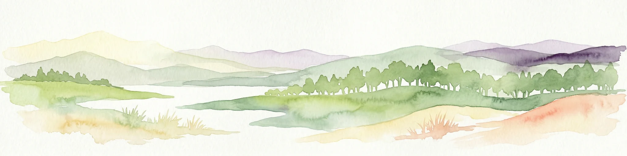
Watercolor painting of a wide landscape with clusters of trees, green meadows, and soft, distant hills under a pastel sky.
Nature reserveOverijssel
About 50 km away#18 closest

Southeast

Borkeld Nature Reserve: Overijssel Protected Landscape and Geographic Atlas

Heathland, juniper shrubland, and prehistoric archaeological terrain

Discover the geographic character of the Borkeld nature reserve in Overijssel. This protected area stands out for its large juniper shrubland, unique clay pit habitats, and deep archaeological history preserved within a gently rolling landscape of forest and heath.

Area
6 km²
Relief
Upland
Climate
Temperate
Access
Easy access
Nature reserveFlevoland
About 51 km away#19 closest

Southwest

Eemmeer & Gooimeer Zuidoever: Mapped Geography and Protected Lake-Fringe Landscape

A Natura 2000 wetland reserve within the Flevoland region

The Eemmeer & Gooimeer Zuidoever nature reserve consists of two distinct yet interconnected lake basins that represent the evolving landscape of the central Netherlands. The area is defined by its shallow water fringes and marshy shorelines, which provide essential sanctuary for waterbirds. By tracing the boundary between engineered polders and older mainland provinces, this reserve provides a unique look at the ecological significance of the former Zuiderzee remnants.

Area
15.84 km²
Established
2009
Relief
Lowland
Climate
Temperate
Nature reserveGelderland
53 km away#20 closest

South

Landgoederen Brummen Nature Reserve: Protected Landscape and Geographic Atlas Entry

Ecological transition zone in the Gelderland province

Landgoederen Brummen showcases a rare geological intersection in the Netherlands where Veluwe sand ridges meet IJssel river clays. This protected area features a unique concentration of seepage-fed pools, blue grasslands, and alluvial alder forests, demonstrating how centuries of estate management coexist with preserved wild habitat remnants.

Area
6.77 km²
Established
2013
Relief
Lowland
Climate
Temperate
Distance methodology

Geographic measurements, not driving distances

How nearby park distances are calculated

Distances use park boundaries whenever the available geometry allows it. When one or both boundaries are missing, the mapped park locations provide a clearly labelled estimate. Every value represents straight-line geographic separation and does not use roads or routing.

Boundary distance

Calculated between the nearest points of both park boundaries.

Location-to-boundary estimate

Estimated from one mapped park location to the nearest boundary of the other park.

Mapped-location estimate

Estimated between the mapped locations of both parks.

MoriAtlas Explorer

Discover the Protected Landscapes and Wetland Geography of Zwarte Meer

Explore the structured boundaries and ecological profile of Zwarte Meer within the MoriAtlas database. This deep dive into the nature reserve reveals the intersection of water management, protected habitat, and migratory corridors that define this essential Overijssel wetland landscape.

Global natural geography