Mori Atlas logo
Nearby park discovery

Regional geographic distribution and surrounding protected area landscapes

National Parks and Protected Natural Landscapes Near Blå Jungfrun National Park

Examine the surrounding geographic context of Blå Jungfrun National Park by exploring nearby protected natural areas and regional landscapes. This resource maps the distribution of coastal and island habitats within the Baltic Sea region to provide a broader understanding of Swedish protected land networks.

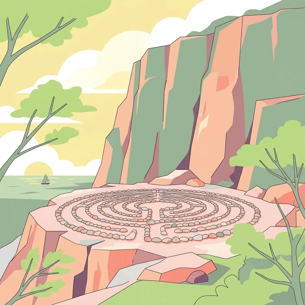
Illustration showing a stone maze on a rocky cliff overlooking water with trees and a sailboat in the background

A mystical Baltic island of blue-hued granite and rich birdlife

Blå Jungfrun National Park

Blå Jungfrun National Park is a nature reserve located on a small island in the Baltic Sea off the coast of Kalmar County in southeastern Sweden. The park encompasses the island itself and its surrounding marine waters, creating a unique coastal protected area known for its distinctive blue-tinted granite cliffs and rich biodiversity. The island's name, which translates from Swedish as "Blue Virgin," derives from the bluish hue that appears on the island's rocky surfaces when seen from the mainland, caused by the mineral glauconite in the granite. The park is recognized as one of Sweden's most distinctive coastal natural areas, combining unusual geological formations with important ecological habitats and cultural heritage elements including the ruins of an ancient church.

Location
Sweden
Park type
National park
Blå Jungfrun National Park Atlas
Regional park map

See the ranked park cluster in its geographic setting

Nearby parks around Blå Jungfrun National Park

This regional map shows the same 20 nearby parks ranked below around Blå Jungfrun National Park. Select a ranked marker to highlight that park’s boundary where boundary data is available.
Reference park: Blå Jungfrun National ParkRanked nearby parkSelected boundary: Blå Jungfrun National Park20 nearby parks shown
20 nearby parks

Geographic proximity and surrounding regional landscape comparisons

Ranked Protected Areas Geographically Near Blå Jungfrun National Park

Examine the ranked collection of protected areas situated close to Blå Jungfrun National Park using direct geographic measurements and boundary separation. Analyzing these surrounding regional landscapes provides structured environmental comparison signals across nearby coastal territories.
Watercolor illustration of a lake surrounded by trees and hills
National parkKalmar County
90 km away#1 closest

Northwest

Norra Kvill National Park: Ancient Coniferous Forest Protected Landscape in Kalmar County

Discover its unique mapped terrain and natural forest heritage.

Norra Kvill National Park safeguards a remarkable old-growth coniferous forest ecosystem, a rarity in southern Sweden. This park is characterized by ancient pines, some dating back over 350 years, thriving on steep fault-formed terrain and amid boulder fields. Its protected status ensures the preservation of this unique natural landscape, providing invaluable insight into forest ecology and regional geography within Kalmar County. MoriAtlas offers a structured approach to understanding its mapped boundaries and ecological significance.

Area
1.14 km²
Established
1927
IUCN
II
Relief
Highland
Watercolor painting of a landscape featuring mountains, wetland, and forest
National parkJönköping County
165 km away#2 closest

West

Store Mosse National Park: Explore Sweden's Largest Bog Landscape & Protected Area

Detailed park map, geography, and peatland ecosystem context.

Delve into Store Mosse National Park, a significant protected landscape in Jönköping County, Sweden, celebrated for its vast peat bog, the largest south of Lapland. This page provides detailed geographic context, mapping its unique wetland terrain, interspersed lakes like Kävsjön, and surrounding pine forests. Understand the park's ecological importance as a Ramsar site and its place within the South Småland peneplain for structured natural area discovery.

Area
78.5 km²
Established
1982
IUCN
II
Relief
Lowland
Watercolor illustration showing a coastal landscape with green vegetation in the foreground, light-colored water or sand in the middle ground, and pastel sky colors in the background
National parkSweden
187 km away#3 closest

Northeast

Gotska Sandön National Park: Unique Baltic Island Protected Landscape & Dune Atlas

Mapped geography and ancient pine forests on a Swedish island.

Delve into Gotska Sandön National Park, a distinct national park encompassing an entire Baltic island renowned for its significant sand dune systems and ancient pine forests. This protected area showcases a rare sandy island ecosystem and a unique landscape shaped by coastal influences. MoriAtlas provides structured geographic context to understand the mapped boundaries and natural terrain of Gotska Sandön, highlighting its role as a vital protected natural landscape in the Scandinavian region.

Established
1963
IUCN
II
Scope
Terrestrial
Water
Minor water
Watercolor illustration of a forest landscape with rocks, trees, and distant hills
National parkSweden
204 km away#4 closest

Northwest

Tiveden National Park: Sweden's Protected Granite Landscape and Ancient Forest

Explore protected wilderness, fracture valleys, and geological heritage.

Tiveden National Park is a protected area in southern Sweden renowned for its ancient forests and rugged granite landscape. The park's terrain features deep fracture valleys, formed by ancient geological events, and stands as one of the last large remnants of older forest in the region. Discover the park's unique topography, mapped boundaries, and its significance as a protected natural landscape for atlas-based exploration.

Area
20.3 km²
Established
1983
IUCN
II
Relief
Mixed relief
National parkStockholm County
About 232 km away#5 closest

North

Tyresta National Park: Explore Protected Old-Growth Forest and Rift Valley Landscape

Stockholm County National Park, Sweden

Tyresta National Park stands as a crucial protected area, showcasing one of southern Sweden's largest expanses of old-growth coniferous forest, featuring trees up to 400 years old. Its distinctive rift valley terrain, lakes, and post-fire recovery zones offer a rich geographic profile for atlas exploration. Within Stockholm County, this national park provides essential context for understanding the preservation of ancient forest ecosystems and unique geological formations.

Area
20 km²
Established
1993
IUCN
II
Relief
Mixed relief
Watercolor illustration of a landscape with green hills, water, and vegetation
National parkSkåne County
234 km away#6 closest

Southwest

Stenshuvud National Park: Discover Skåne County's Distinctive Baltic Headland National Park

Explore broadleaf forests, heathlands, and panoramic coastal geography.

Stenshuvud National Park is a notable national park in Sweden's Skåne County, characterized by a prominent hill that rises 97 meters above the Baltic Sea. This protected landscape offers a rich diversity of habitats within a small area, including dense broadleaf forests, open heathlands, and coastal terrains. Its unique geographic position and varied ecosystems make it a key destination for exploring protected natural areas, mapped terrain, and regional landscape context within the MoriAtlas platform.

Area
3.9 km²
Established
1986
IUCN
II
Relief
Lowland
Watercolor illustration of a forest landscape with pink flowers, green trees, and a yellow sky
National parkÖrebro County
250 km away#7 closest

Northwest

Garphyttan National Park: Pioneer Protected Landscape and Historic Swedish Terrain

Explore meadows, forests, and historic geography in Örebro County.

Garphyttan National Park, established in 1909, is a testament to early Swedish nature conservation efforts. This protected landscape features rolling forested terrain and distinctive flower-rich meadows, maintained through traditional practices that highlight Sweden's cultural heritage. Located within Örebro County, the park offers valuable insights into regional geography and the formation of mapped protected areas, making it a key destination for understanding historical landscape preservation.

Area
1.11 km²
Established
1909
IUCN
II
Relief
Lowland
National parkSweden
255 km away#8 closest

Southwest

Söderåsen National Park: A Protected Ridge Landscape in Southern Sweden's Geography

Mapped protected area with varied terrain and dense forest cover.

Delve into the protected landscape of Söderåsen National Park, a national park in Southern Sweden distinguished by its unique ridge topography, steep slopes, and extensive forests. This site serves as a key point for atlas-based exploration of natural terrain and regional geography, offering a clear view of its mapped boundaries and ecological significance within the Southern Swedish highlands. Understand the character of this protected area and its place in the broader mapped landscape.

Established
2001
IUCN
II
Scope
Terrestrial
Watercolor painting of a coastal landscape featuring rocky shore, trees, and distant island under pink and blue sky
National parkVästra Götaland County
261 km away#9 closest

Northwest

Djurö National Park: Sweden's Lake Archipelago National Park in Västra Götaland County

Mapped island geography and protected aquatic landscapes.

Djurö National Park stands as a singular example of Sweden's protected natural areas, characterized by its unique position as a national park comprising a complete archipelago within Lake Vänern. This page focuses on the geographic identity of Djurö National Park, detailing its island distribution, protected land status, and the distinct landscape it preserves. Users will find context for its place within Västra Götaland County, facilitating an atlas-based understanding of this exceptional aquatic environment and its mapped boundaries.

Area
24 km²
Established
1991
IUCN
II
Relief
Mixed relief
Watercolor painting of green trees on rolling hills under a pink and orange sunset
National parkSweden
275 km away#10 closest

Southwest

Dalby Söderskog National Park: Explore Southern Sweden's Smallest Protected Deciduous Forest

Unique limestone geology, spring flowers, and mapped terrain.

Dalby Söderskog National Park, though only 36 hectares, offers exceptional botanical discovery rooted in its fertile limestone soils. This protected area in Scania, Sweden, showcases a dense deciduous forest ecosystem with remarkable diversity, particularly evident in its vibrant spring wildflower displays. Use MoriAtlas to explore the park's mapped boundaries and understand its significant role within the regional geography and broader protected landscape atlas.

Area
0.36 km²
Established
1918
IUCN
II
Relief
Lowland
Watercolor illustration of sand dunes, tall grasses, pine trees, and distant mountains under a soft sky
National parkPomeranian Voivodeship
276 km away#11 closest

South

Slovincian National Park: Moving Dunes and Baltic Coast Protected Landscape Exploration

Discover its unique geography and mapped terrain.

Slovincian National Park is a protected area in Pomeranian Voivodeship, Poland, celebrated for its impressive moving sand dunes and coastal wetland ecosystems. These dynamic dunes, some reaching 30 meters high, migrate inland, creating an ever-changing landscape. The park also features large shallow lakes like Łebsko and Gardno, vital for migratory birds. Explore the mapped boundaries and geographic context of this significant protected area, a Ramsar site and UNESCO biosphere reserve.

Area
186.18 km²
Established
1967
IUCN
II
Visitors
319K annual
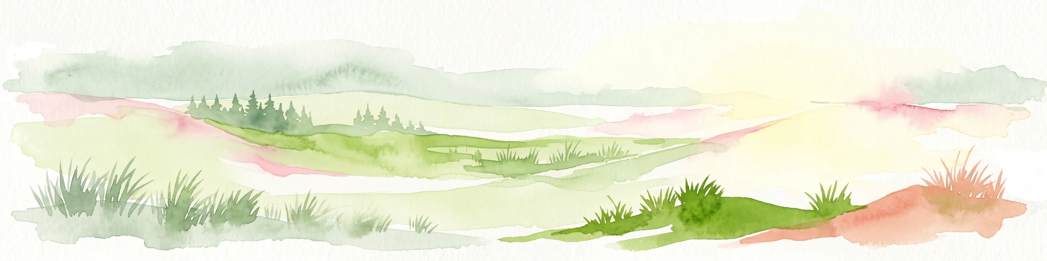
A horizontal watercolor illustration depicting rolling green hills, patches of tall grass, a small cluster of pine trees, and dunes under a soft, light-filled sky.
National parkPomorskie Voivodeship
276 km away#12 closest

South

Słowiński Park Narodowy: Mapping the Baltic Sand Dunes and Wetland Geography

Coastal landscapes of the Polish Pomorskie region

Słowiński Park Narodowy protects a vital mosaic of moving sand dunes, raised bogs, and coastal lakes along the Baltic shoreline. This atlas entry focuses on the physical landscape dynamics of the Gardno-Łeba lowland, highlighting the interaction between dune belts, water bodies, and coastal forest habitats within the Pomorskie Voivodeship.

Area
327.44 km²
Established
1967
Visitors
319K annual
Relief
Lowland
Nature reservePomeranian Voivodeship
About 280 km away#13 closest

South

Mierzeja Sarbska Nature Reserve: Protected Coastal Dunes and Barrier Landscape Mapping

Coastal geography within the Pomeranian Voivodeship

Mierzeja Sarbska Nature Reserve preserves a significant sandy barrier along the Baltic coast of northern Poland. The site features active parabolic dunes, interdunal deflation hollows, and unique relict wetland plant communities that provide critical insight into the regional landscape evolution of the Pomeranian Voivodeship.

Area
5.47 km²
Established
1976
Relief
Lowland
Water
Major water bodies
Nature reservePomeranian Voivodeship
About 283 km away#14 closest

South

Długosz Królewski w Wierzchucinie: Mapping a Protected Floristic Peatland Reserve in Pomerania

Floristic nature reserve and bog ecosystem in northern Poland

This protected area in Gmina Krokowa preserves critical peatland habitats, including rare stands of royal fern and interrupted clubmoss. Its geography captures the history of the Wierzchucińska Forest, showcasing a complex environment of moist woodlands and bog mosaics characteristic of the Baltic coastal landscape in Poland.

Area
1.482 km²
Established
2003
Relief
Lowland
Climate
Temperate
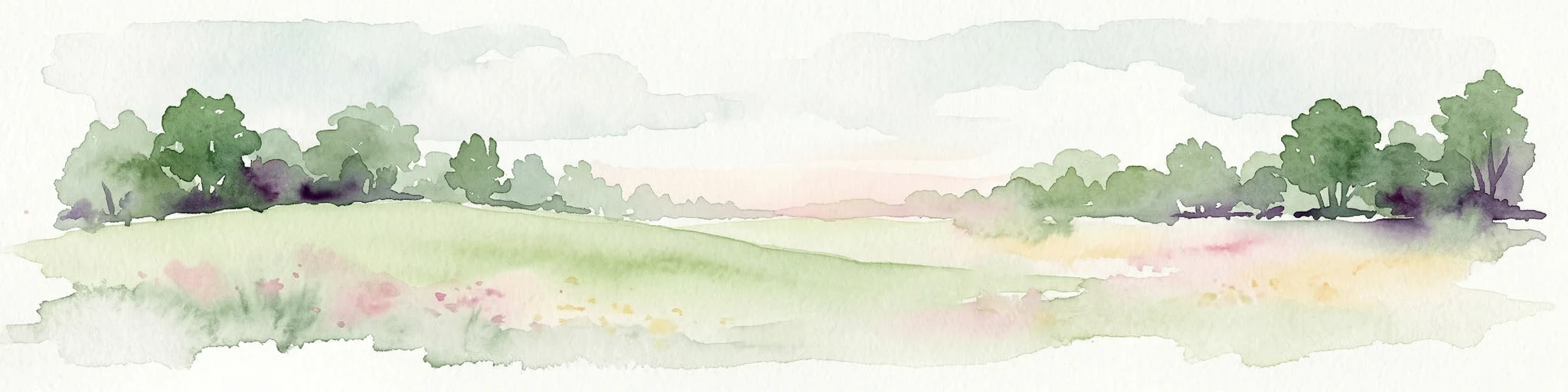
Watercolor painting of a grassy field with trees and a soft sky
National parkStockholm County
286 km away#15 closest

Northeast

Ängsö National Park: Flower-Rich Cultural Landscape in Stockholm County's Archipelago

Mapped protected area and historic island geography

Ängsö National Park, a protected national park in Stockholm County, offers a rare glimpse into a flower-rich cultural landscape shaped by history and nature. The island's mapped boundaries encompass idyllic meadows, mature deciduous forests, and a unique archipelago setting. MoriAtlas highlights its significance as one of Sweden's earliest national parks, providing context for its distinctive natural terrain and protected landscape identity within the Roslagen region.

Area
1.68 km²
Established
1909
IUCN
II
Relief
Lowland
Nature reservePomeranian Voivodeship
About 300 km away#16 closest

South

Rezerwat przyrody Jezioro Modła: Wetland Geography and Protected Coastal Habitat

Nature reserve mapping in Pomeranian Voivodeship, Poland

Focusing on a shallow coastal lake and its surrounding marshland ecosystem, Rezerwat przyrody Jezioro Modła provides vital breeding habitats for waterbirds. The reserve represents a core component of the Pomeranian shoreline, where shifting lake boundaries and dense vegetation define the terrain, highlighting the ecological significance of this protected region.

Area
1.948 km²
Established
1982
Relief
Lowland
Climate
Temperate
Nature reservePomeranian Voivodeship
About 300 km away#17 closest

South

Rezerwat przyrody Długosz Królewski w Łęczynie: Botanical Protected Area in Pomerania

Floristic nature reserve focused on royal fern conservation

Located in the heart of the Puszcza Wierzchucińska, this nature reserve is a critical site for the study and conservation of Osmunda regalis. The surrounding terrain of damp, peat-influenced woodland defines the unique character of this small, specialized protected area in northern Poland.

Area
0.02 km²
Established
1977
Scope
Terrestrial
Water
Minor water
Nature reserveGentofte Kommune
About 310 km away#18 closest

Southwest

Brobæk Mose Nature Reserve: Protected Wetland and Glacial Geography in Gentofte Kommune

Mapped wetland habitat and natural terrain analysis.

Brobæk Mose serves as a primary example of a spring-fed wetland within the glacial landscapes of Gentofte Kommune. The area preserves rich fens and developing natural forest, offering a clear view of post-glacial valley geography and protected ecological zones surrounded by the Copenhagen suburban environment.

Established
1988
Water
Major water bodies
Nature reservePomeranian Voivodeship
About 311 km away#19 closest

South

Mechelińskie Łąki Nature Reserve: Coastal Geography and Protected Baltic Wetland Atlas

Pomeranian Voivodeship coastal dune and marsh landscape exploration

Investigate the protected topography of Mechelińskie Łąki Nature Reserve, where saline meadows meet the Baltic shoreline of Puck Bay. This faunistic reserve preserves an essential mosaic of dunes, marshes, and reedbeds in northern Poland, serving as a significant habitat for nesting shorebirds and rare amphibian species within the Pomeranian Voivodeship.

Area
1.135 km²
Established
2000
Relief
Lowland
Climate
Temperate
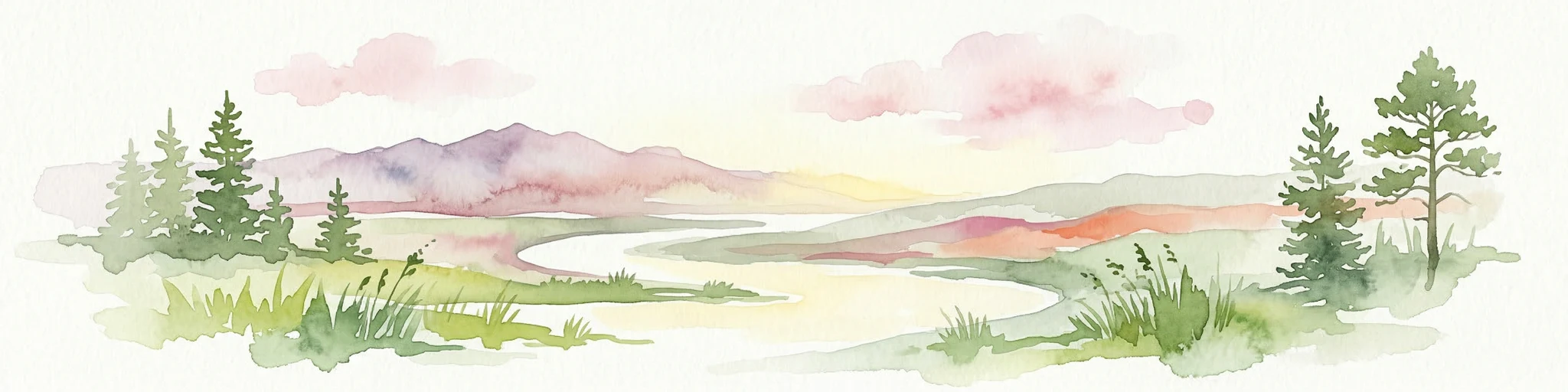
Watercolor painting of a landscape with a river flowing through grassy fields, trees, and mountains in the background
National parkLithuania
312 km away#20 closest

Southeast

Curonian Spit National Park: Atlas of Baltic Sand Dunes and Coastal Protected Areas

Exploring the narrow peninsula landscape of Lithuania

Curonian Spit National Park is a protected coastal terrain featuring massive sand dunes and coniferous forests situated along the Baltic Sea. This detailed map-based overview examines the geomorphology of the spit, the stabilization of the Nagliai reserve, and the regional geography that defines this unique ecological corridor within Lithuania.

Area
264.74 km²
Established
1991
IUCN
II
Visitors
400K annual
Distance methodology

Geographic measurements, not driving distances

How nearby park distances are calculated

Distances use park boundaries whenever the available geometry allows it. When one or both boundaries are missing, the mapped park locations provide a clearly labelled estimate. Every value represents straight-line geographic separation and does not use roads or routing.

Boundary distance

Calculated between the nearest points of both park boundaries.

Location-to-boundary estimate

Estimated from one mapped park location to the nearest boundary of the other park.

Mapped-location estimate

Estimated between the mapped locations of both parks.

MoriAtlas Explorer

Continue exploring the Blå Jungfrun National Park's mapped protected landscape and regional geography

Deepen your understanding of Blå Jungfrun National Park by exploring its precise geographic setting and protected landscape features. MoriAtlas allows for detailed examination of the park's mapped boundaries and its role within the Baltic Sea's natural geography. Discover the specific terrain and unique characteristics that define this important Swedish national park.

Global natural geography