Southwest
Butrint National Park
Explore its unique geography and protected park boundaries.
Butrint National Park, in Vlorë County, Albania. Landscapes: lakes, wetlands, and islands.
- Area
- 94.244 km²
- Established
- 2000
- IUCN
- II
- Relief
- Lowland
Mapping the regional geography and distribution of protected sites near the Blue Eye
Identify the geographical context of protected areas surrounding the Blue Eye karst spring in Vlorë County. This resource outlines the distribution of regional natural monuments and forested landscapes, providing a mapped view of the environmental terrain spanning southern Albania and its Ionian watershed.

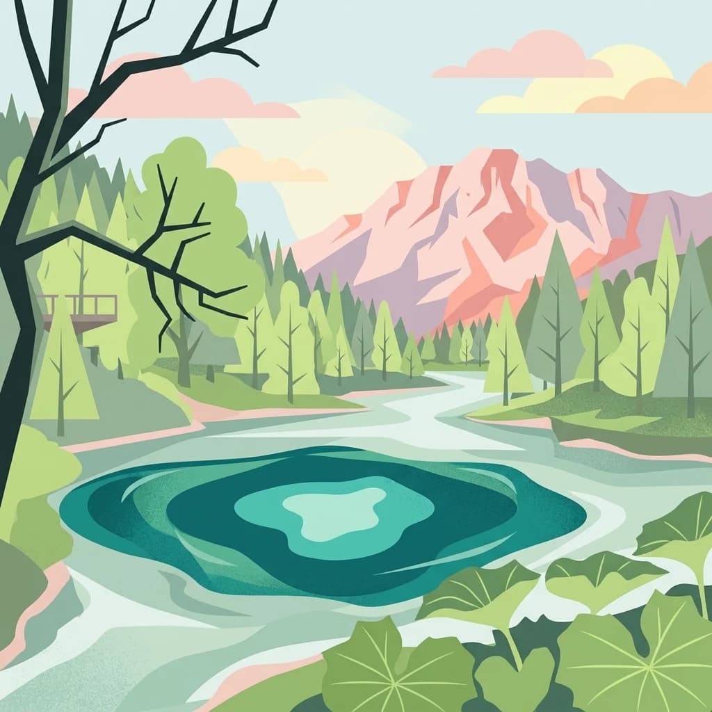
A deep karst spring of crystalline blue water in southern Albania
The Blue Eye is a striking karst water spring and natural phenomenon located in the village of Muzinë, within Finiq municipality in Vlorë County of southern Albania. The spring emerges from a deep oval karst hole that, when viewed from above, resembles an eye: a darker central void surrounded by rings of vivid, transparent blue water. The spring marks the headwaters of the Bistricë River, which flows about twenty-five kilometres before emptying into the Ionian Sea near Sarandë. The surrounding territory has been recognized for its natural values and is formally protected. An area of roughly 1.8 square kilometres around the spring is designated as a Natural Monument under Albanian law, placing the site within the country's network of protected natural areas. The protected zone is characterized by oak and sycamore forests growing on karst terrain. Beyond its hydrological significance, the Blue Eye is one of the most visited natural attractions in southern Albania, drawing visitors who come to see the unusual colour and clarity of the water. Its position near the road between Sarandë and Gjirokastër makes it a frequent stop on day-trip itineraries in the region.
See the ranked park cluster in its geographic setting
Geographic proximity and environmental comparison across surrounding southern Albanian landscapes

Southwest
Explore its unique geography and protected park boundaries.
Butrint National Park, in Vlorë County, Albania. Landscapes: lakes, wetlands, and islands.

North
Mapping dynamic canyons and vital river ecosystems in Gjirokastër County.
Vjosa Wild River National Park is recognized as Europe's first Wild River National Park, a groundbreaking designation protecting an entire river system from source to sea. This protected area in Gjirokastër County preserves remarkable topography, including dramatic canyons, natural rapids, and meandering islands, all shaped by the free flow of the Vjosa River and its tributaries. Explore the mapped boundaries and unique landscape context of this significant biodiversity hotspot, offering a crucial case study for river conservation and atlas discovery.

East
Discover protected area boundaries and regional geography in Epirus.
Vikos-Aoös National Park in Greece's Pindus mountains is a premier destination for exploring dramatic natural geography. Best known for the Vikos Gorge, considered the world's deepest canyon relative to its width, the park also features towering alpine peaks like Mount Tymphe, glacial lakes such as Drakolimni, and rich botanical diversity. As a UNESCO Geopark and part of the Natura 2000 network, it safeguards critical habitats, including significant brown bear populations. This park offers a profound look into protected landscapes, offering detailed geographic context and mapped terrain for atlas-based discovery.

Northeast
Explore a premier protected landscape in Gjirokastër County, Albania.
Fir of Hotovë-Dangëlli National Park stands as a monumental protected area, celebrated for its exceptional old-growth Hotova Fir forests, which are a rare Mediterranean plant relic. This national park in Gjirokastër County offers a detailed look at a vast mountainous terrain, featuring dramatic canyons like Lengarica Canyon, and serving as a critical habitat for diverse wildlife. MoriAtlas provides structured geographic context for this significant landscape, highlighting its mapped boundaries and role as a key component of regional protected area networks.

East
Mapped terrain, karst river gorges, and alpine forest ecosystems.
Northern Pindus National Park preserves an extensive mountain environment characterized by steep limestone ridges, the profound Vikos Gorge, and glacial lake basins. Located in the Pindus range of Epirus, this area offers deep insight into the intersection of geological processes, rare wildlife habitats, and traditional human settlements integrated into the mountainous terrain.

Southwest
A coastal landscape defined by sand dunes, freshwater, and juniper forests
Korission Lagoon represents a rare ecological convergence on the Ionian Islands, where a tall sand dune barrier separates a freshwater lagoon from the open sea. This protected area supports an intricate mosaic of reed beds and unique juniper woodlands, providing a crucial habitat for a vast array of bird species and endemic wildlife within the coastal plains of Corfu.

Northwest
Explore Albania's rugged national park geography and mapped terrain.
Llogara National Park stands as a vital protected area within Vlorë County, Albania, renowned for its spectacular Ceraunian Mountain topography. This page provides access to detailed geographic information, highlighting the park's unique landscape characteristics, from alpine peaks to coastal vistas. Discover the mapped extent of this national park and its significance within the regional geography, perfect for structured atlas exploration.

North
Explore Albania's dramatic mountain geography and protected areas.
Tomorr Mountain National Park offers a unique exploration of southern Albania's dramatic limestone anticline. Dominated by the sacred Mount Tomorr and featuring the spectacular Osum Canyon, this national park provides insight into karst terrain, old-growth forests, and significant biodiversity. Discover its mapped boundaries and regional geographic context within the Pindus Mountains for structured atlas exploration.

North
Regional protected area within the Balkan forest ecoregion
Bogovë Nature Park protects 330 hectares of diverse Mediterranean forest and dramatic limestone ravines. Central to its identity are the cascading waterfalls and karst topography that characterize this portion of the Pindus Mountains mixed forests ecoregion in southern Albania, providing a significant example of Balkan woodland preservation.

East
Explore its rugged terrain, biodiversity, and alpine landscape.
MoriAtlas presents Pindus National Park, a significant protected area in Greece known for its dramatic mountainous terrain, deep valleys, and ancient old-growth forests. This page details its geographic context, featuring rugged highland landscapes, serpentine soils, and vital habitats for species like the Eurasian brown bear. Understand its place within the Pindus mountain range and its importance as a mapped wilderness area for conservation.

Northwest
Protected rugged cliffs in Vlorë County, Albania
Karaburun Peninsula is a significant protected area defined by high limestone ridges and a heavily indented western shoreline. The terrain features numerous sea caves, historic bays, and prominent headlands that descend directly into the sea. As a vital nature reserve, it preserves the natural integrity of this mountainous coastal stretch within Vlorë County, offering a clear geographic overview of one of Albania's most remote wilderness areas.

Northwest
Explore Albania's protected coastline and marine geography.
Karaburun-Sazan Marine Park, Albania's sole national park, offers a profound exploration of a unique protected landscape. This marine protected area combines the rugged Karaburun Peninsula, characterized by high limestone cliffs, with Sazan Island, Albania's largest island, known for its distinct geology and subtropical climate. The park's waters are critical habitats for endangered species, making it a significant site for marine biodiversity and regional geographic study. Discover the mapped boundaries and ecological context of this vital protected area.
Northwest
Coastal lagoons, saltpans, and Adriatic delta systems
Vjosa-Nartë Protected Landscape offers a deep look into Albania's coastal geography. The area features a striking interplay between the Vjosa River delta and the Narta Lagoon, framed by Mediterranean pine forests and shifting sand dunes. This atlas-focused resource maps the diverse terrain and ecological zones that characterize one of the most vital wetland corridors along the Adriatic Sea.

Northeast
Mapping Albania's protected Silver fir woodland ecosystems
Explore the structured geography of the Fir of Drenovë-Sinicë Protected Landscape, a diverse expanse in Korçë County defined by its ancient Silver fir stands and karst cave systems. This area showcases a varied landscape of rocky monoliths, mountain lakes, and tectonic valleys that serve as a vital ecological record for the southeastern Albanian mountains.

Southeast
Central Greece Pindus mountain protected wilderness zone
An extensive protected landscape bridging Thessaly and Epirus, this national park showcases the ecological and geological diversity of the central Pindus Mountains. Analyze the geographic layout of the Athamanian ranges, the Acheloos river corridor, and the unique conglomerate formations at Meteora through a detailed protected-area lens.

North
A protected mosaic of Mediterranean woodlands and Pindus foothills
Spanning roughly 22 square kilometers near Pogradec, the Guri i Nikës-Lenie-Valamarë Protected Landscape protects a diverse array of forested slopes and freshwater habitats. This essential Balkan biological corridor provides a detailed look at the transition between dense woodland and scrub communities within the Pindus mountain system, highlighting its role as a key habitat for large carnivore populations.

Northeast
Explore the geography and mapped boundaries of this vital national park.
Prespa National Park, located in Korçë County, Albania, is a protected area characterized by its significant high-altitude tectonic lakes, dramatic mountain landscapes, and vital wetland habitats. This entry provides a structured atlas-style overview of the park's geographic identity, its protected landscape features, and its ecological importance, serving as a key point of reference for understanding this unique Balkan region.

Northeast
A Ramsar wetland reserve and transboundary protected area
Prespa National Park encompasses 32,700 hectares of diverse habitats, from the shallow waters of Small Prespa Lake to the surrounding forested uplands. This protected area acts as a vital sanctuary for migratory bird species and endemic plants, offering a rich look at the ecological interplay between water, floodplains, and mountain terrain in northern Greece.

Northwest
Mapping Albania's largest Mediterranean lagoon and its vital bird sanctuaries.
Divjakë-Karavasta National Park, in Albania. Landscapes: wetlands, coasts, and beaches.

North
A tectonic mountain lake system in North Macedonia
Lake Ohrid, in North Macedonia. Landscapes: mountains, cliffs, and forests.
Geographic measurements, not driving distances
Calculated between the nearest points of both park boundaries.
Estimated from one mapped park location to the nearest boundary of the other park.
Estimated between the mapped locations of both parks.
Explore the geological and hydrological characteristics of the Blue Eye through the MoriAtlas database. This destination page details the boundaries and natural features of this Albanian protected area, providing a foundation for understanding the region's karst systems and forest habitats.