West
Cabo de Hornos National Park
Mapped protected landscape in Magallanes y Antártica Chilena Region.
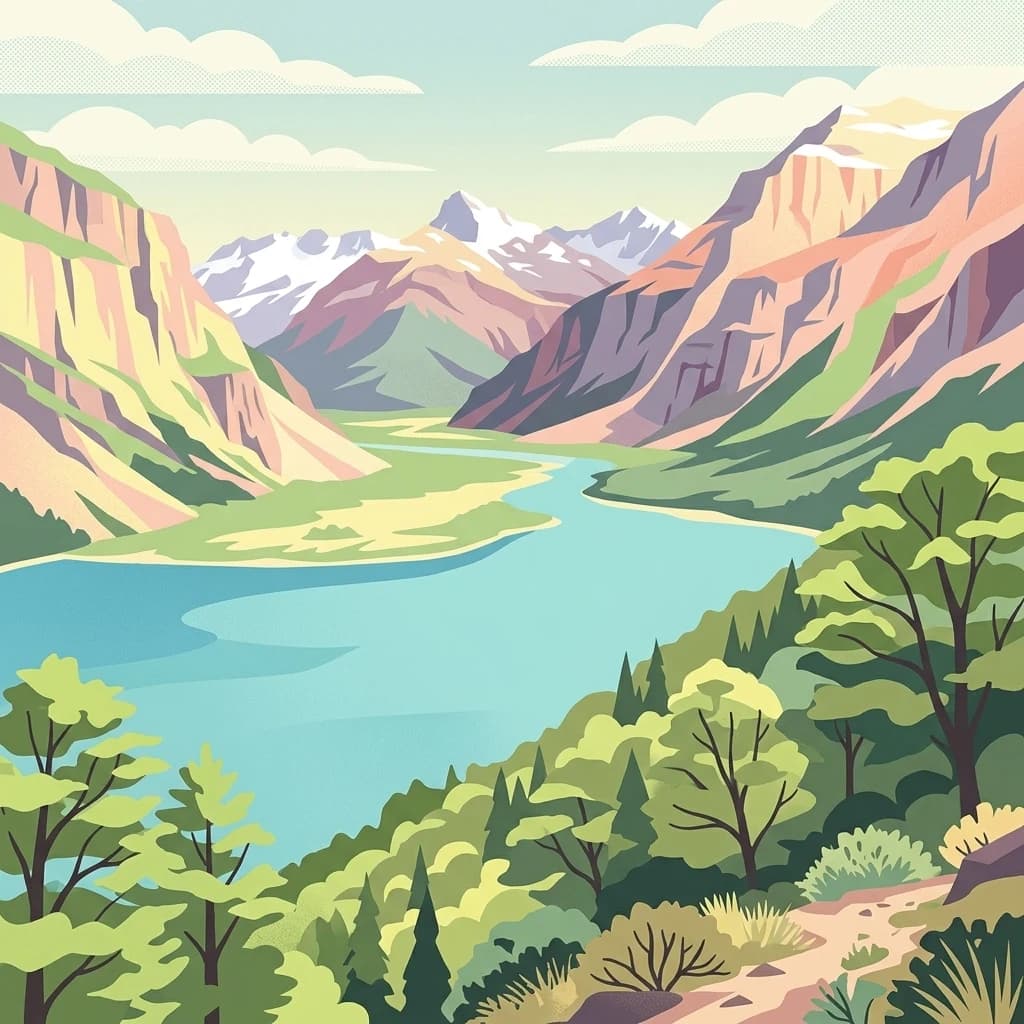
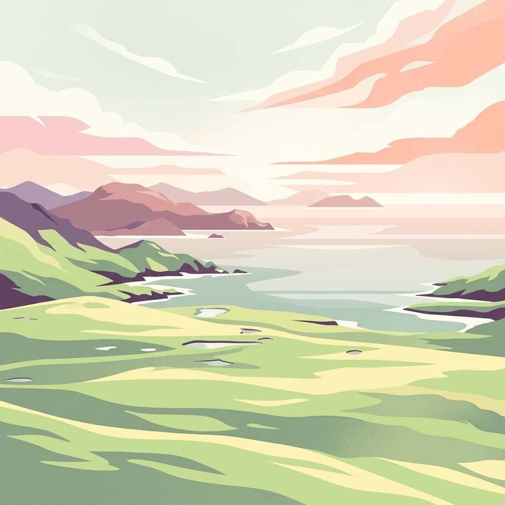
Cabo de Hornos National Park, in Chile. Landscapes: islands, coasts, and bogs.
- Area
- 630.93 km²
- Established
- 1945
- IUCN
- II
- Visitors
- 10.4K annual
Mapping regional marine protected areas and surrounding oceanic landscape features
Investigate the geographic context of the Burdwood Bank submerged plateau through its surrounding marine protected areas. This map-based perspective highlights the distribution of nearby conservation zones within the South Atlantic maritime region, offering insight into the spatial relationship between this oceanic feature and broader protected marine landscapes.
Related tags
Submerged plateau of the South Atlantic where Antarctic waters fuel one of the richest marine ecosystems on Earth.
Burdwood Bank is a submerged oceanic plateau in the South Atlantic, part of the Scotia Arc that stretches roughly 600 kilometres east from Cape Horn. Lying about 200 kilometres south of the Falkland Islands, the bank rises from deep surrounding waters to within roughly 50 to 200 metres of the sea surface, forming one of the four major morphological features defined by the 200 metre isobath off southern South America. The bank plays a defining role in regional oceanography. By blocking the northward flow of the Antarctic Circumpolar Current, Burdwood Bank creates circular eddies and intense upwelling of cold, nutrient-rich subantarctic water. This produces some of the highest marine productivity in the Argentine Sea, supporting large populations of seabirds, penguins, marine mammals, and commercially important fish species. Because of its ecological importance and contested governance between Argentina and the United Kingdom, Burdwood Bank has become both a conservation priority and a subject of geopolitical interest. Argentina moved in 2013 to establish the area as a national marine park, the country's first oceanic national park, recognising the bank as a critical reservoir of biodiversity and fish stocks.
See the ranked park cluster in its geographic setting
Distance-ranked collection and regional environmental comparison for surrounding marine geography

West
Mapped protected landscape in Magallanes y Antártica Chilena Region.
Cabo de Hornos National Park, in Chile. Landscapes: islands, coasts, and bogs.

West
Explore the mapped terrain and subantarctic geography of this vital protected area.
Tierra del Fuego National Park, located at the southern tip of South America, provides a crucial atlas perspective on subantarctic ecosystems. This protected national park encompasses dramatic glacial valleys, rugged mountain ranges, ancient beech forests, and a significant coastal area along the Beagle Channel. Its unique landscape, accessible from Ushuaia, offers rich opportunities for understanding regional geography and the distribution of protected lands at the continent's edge.
Southwest
Explore its remote island geography and vital Drake Passage marine ecosystems.
This national park protects one of the world's most remote and ecologically significant subantarctic environments, safeguarding the Diego Ramírez Islands and the legendary Drake Passage. It covers over 14 million hectares, representing Chile's southernmost contribution to global marine conservation and protecting unique pelagic bird habitats, marine mammal feeding grounds, and distinctive submarine geomorphology including Sars Seamount. The park's landscape is characterized by harsh subantarctic conditions, with vegetation adapted to cold, windy environments, and unique seafloor terrain beneath the powerful Antarctic Circumpolar Current.

West
Mapped geographic context and protected area discovery.
Yendegaia National Park in Tierra del Fuego, Chile, stands as a distinct protected area offering valuable insights into regional geography and landscape. This page serves as a focused entry point for understanding the park's mapped boundaries and its significance as a national park. Delve into the specific geography and protected natural landscape that defines Yendegaia National Park within the broader South American atlas context.

West
Explore a protected national park in Chile's Magallanes Region.
Alberto de Agostini National Park, in Chile. Landscapes: mountains, valleys, and cliffs.

West
Explore the geographic context and park boundaries in Chile.
Examine Pali-Aike National Park as a distinct protected landscape within Chile. This entry offers a detailed atlas perspective, focusing on its mapped boundaries, regional geographic setting, and the specific character of its natural terrain. Understand its significance as a national park and a point of interest for geographic discovery.

Northwest
Explore its unique sandstone formations and rich marine geography.
Monte León National Park stands as a significant federal protected area along Argentina's Patagonian coast. Known for its dramatic sandstone cliffs, including the iconic Monte Cabeza de León, and extensive Magellanic penguin colonies, this park offers a unique glimpse into coastal ecosystems. Its designation as Argentina's first continental marine park highlights its importance for biodiversity and landscape conservation along the southern Argentine Sea shoreline, providing rich context for atlas exploration.

West
Explore the mapped geography and protected area boundaries.
Kawésqar National Park is a key national park entity situated within the Magallanes and Chilean Antártica Region, contributing to the protected landscape of southern Chile. This atlas-focused profile details the park's geographic scope and its significance as a designated protected area. It serves as an entry point for understanding the mapped terrain and regional park context, crucial for structured geographic discovery.

Northwest
Explore mapped fossil trees across the Patagonian steppe.
Bosques Petrificados de Jaramillo National Park is a protected national park in Argentina's Santa Cruz Province, celebrated for its extensive collection of Jurassic period fossilized trees. Spanning nearly 80,000 hectares of Patagonian steppe, the park's unique landscape is defined by exposed petrified trunks, some of remarkable size, providing crucial evidence of the region's ancient ecosystems and paleoclimatic history. Discover this extraordinary site through its mapped geography and protected landscape identity.

West
Explore mapped protected landscapes and regional context.
Torres del Paine National Park represents a distinct protected landscape within Chile's Magallanes Region, offering valuable insights for geographic discovery and atlas exploration. This national park's mapped boundaries and unique terrain contribute to a comprehensive understanding of its protected status and environmental context. MoriAtlas provides structured data to explore the park's geography, landscape features, and its role as a vital protected natural area for detailed study.
West
Chile's largest protected area: a map of vast ice caps and fjords.
Bernardo O'Higgins National Park, in Aysén del General Carlos Ibáñez del Campo Region, Chile.

West
Explore glacial terrain and iconic Andes peaks.
Los Glaciares National Park, in Argentina. Landscapes: glaciers, mountains, and grasslands.

Northwest
Archaeological mapping in the Pinturas River Canyon
Cueva de las Manos, in Argentina. Landscapes: cliffs, caves, and rivers.

Northwest
Explore its mapped terrain and significant protected area geography.
Perito Moreno National Park stands as a cornerstone of Argentinian conservation, safeguarding over 126,000 hectares of striking Patagonian mountain wilderness. This national park protects a rare ecological transition zone, blending wet Andean forests with dry steppe environments across its dramatic amphitheater-like terrain and dual-watershed hydrography. Its mapped boundaries encompass significant natural geography, offering a clear atlas view of protected Patagonian landscapes.

Northwest
Explore the mapped boundaries of this semi-arid grassland ecosystem.
Patagonia National Park is a protected national park in Argentina established to preserve the representative Patagonian steppe ecosystem. Covering 528.11 square kilometers, it offers a deep dive into the unique semi-arid grassland environment, known for its rolling plains and wind-shaped terrain. This park provides crucial context for understanding the broader geography of southern Argentina and the conservation of its distinctive natural landscapes.

Northwest
Mapped boundaries and natural terrain in Aysén Region.
Patagonia National Park, situated within the Aysén Region of Chile, serves as a significant protected area offering rich opportunities for atlas-based geographic exploration. This national park's specific landscape identity and mapped boundaries provide a clear focal point for understanding regional conservation and natural terrain. Discover the geographic context of this protected land and its place within the broader landscape of southern Chile through structured data and map exploration.
Northwest
A critical Magellanic penguin habitat in Chubut Province
Punta Tombo is a narrow, low-lying peninsula extending into the Atlantic, characterized by soft, sandy soils and arid Patagonian steppe terrain. As a major protected faunal and marine reserve, it maintains a essential buffer for migratory seabirds and regional wildlife. This site offers a clear look at how protected land boundaries safeguard sensitive coastal nesting grounds from the broader steppe environment of Argentina.

Northwest
A National Park within Aysén del General Carlos Ibáñez del Campo Region.
Laguna San Rafael National Park stands as a key protected area within the vast geography of the Aysén del General Carlos Ibáñez del Campo Region. This entry provides an atlas-focused perspective, detailing the park's geographic significance, mapped natural landscapes, and its role as a vital conservation territory. Understand how this national park fits into the broader context of Patagonia's unique terrain and protected areas.

Northwest
Mapped geography and huemul conservation in Chile's Aysén Region.
Cerro Castillo National Park is a premier protected area in southern Chile, celebrated for its iconic Cerro Castillo granite mountain that dominates the landscape. This national park, spanning over 1,700 square kilometers in the Aysén del General Carlos Ibáñez del Campo Region, showcases a dynamic Patagonian terrain shaped by glaciers and rivers. Its significance extends to being a vital corridor for endangered huemul, offering critical habitat within a broader regional conservation strategy and the famous Route of Parks.

Northwest
Mapped protected area in Aysén del General Carlos Ibáñez del Campo Region.
Queulat National Park is a vast protected wilderness in southern Chile, renowned for its dramatic glacial alpine terrain and lush temperate rainforests. The park's geography is defined by steep glacial valleys, ice fields, and the iconic Queulat Hanging Glacier cascading from sheer cliffs. Discover the mapped boundaries of this significant Patagonian national park, offering unparalleled insight into its unique ecosystems and dramatic landscapes shaped by ice and forest.
Geographic measurements, not driving distances
Calculated between the nearest points of both park boundaries.
Estimated from one mapped park location to the nearest boundary of the other park.
Estimated between the mapped locations of both parks.
Deepen your understanding of Burdwood Bank through its marine protected area boundaries and oceanic landscape features. This MoriAtlas entry details the bathymetric profile and ecological significance of the submerged plateau, offering clear geographic insights into one of the most productive marine environments in the South Atlantic.