Mori Atlas logo
Nearby park discovery

Mapping the geographic distribution and regional context of nearby protected terrains

Protected Areas and Surrounding Natural Landscapes Near the Crimean Nature Reserve

Explore the regional geography surrounding the Crimean Nature Reserve through an integrated map of nearby protected areas. This interface highlights the distribution of neighboring mountain-forest ecosystems and protected habitats across the Crimean Peninsula to provide a comprehensive look at the surrounding natural terrain.

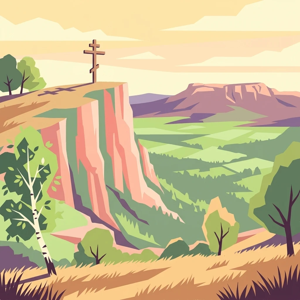
Illustration of a cliff with a cross on top, surrounded by green valley and mountains

Protecting the mountain forests and biodiversity of the Crimean Peninsula

Crimean Nature Reserve

The Crimean Nature Reserve is a strict nature reserve located on the southern slopes of the Crimean Mountains along the Crimean Peninsula in Ukraine. Established in its current form in 1991, the reserve encompasses approximately 44,175 hectares of mountain-forest and meadow steppe ecosystems, protecting some of the most biodiverse habitats on the peninsula. The reserve spans the main ridge of the Crimean Mountains, featuring dramatic topography with gentle northern slopes and steep southern faces that drop toward the Black Sea. Roman-Kosh, the highest mountain in Crimea at 1,545 meters, rises within the reserve's boundaries. The area is characterized by Jurassic-era geological formations including shales, sandstones, limestones, and conglomerates, which have eroded to create diverse soil types supporting varied vegetation zones. The reserve serves as a critical protected area for the Crimean Submediterranean forest complex, a small but ecologically significant band of territory that extends from the southern Crimean peninsula toward the northern Caucasus.

Location
Ukraine
Park type
Nature reserve
Established
1991
Area
442 km²
Highest point
1,545 m
Crimean Nature Reserve Protected Area
Regional park map

See the ranked park cluster in its geographic setting

Nearby parks around Crimean Nature Reserve

This regional map shows the same 20 nearby parks ranked below around Crimean Nature Reserve. Select a ranked marker to highlight that park’s boundary where boundary data is available.
Reference park: Crimean Nature ReserveRanked nearby park20 nearby parks shown
20 nearby parks

Distance-ranked conservation landscapes and regional park geography for comparison

Parks and Protected Areas Geographically Near Crimean Nature Reserve

Geographic proximity measurements establish a ranked sequence of protected areas surrounding the Crimean Nature Reserve for structured regional analysis. Comparing these neighboring locations reveals broader environmental patterns across the surrounding terrain and administrative boundaries.
National parkAutonomous Republic of Crimea
About 160 km away#1 closest

Northwest

Charming Harbor National Nature Park: National Park Map and Protected Landscape Identity

Explore its mapped boundaries and regional geography.

Charming Harbor National Nature Park is a key protected area contributing to the natural landscape of the Autonomous Republic of Crimea. This page details its specific geographic scope and mapped boundaries, functioning as an atlas entry to understand its role within regional conservation efforts. Discover the park's distinct protected land context and its contribution to the mapped terrain of Ukraine.

Area
109 km²
Established
2009
IUCN
II
Relief
Lowland
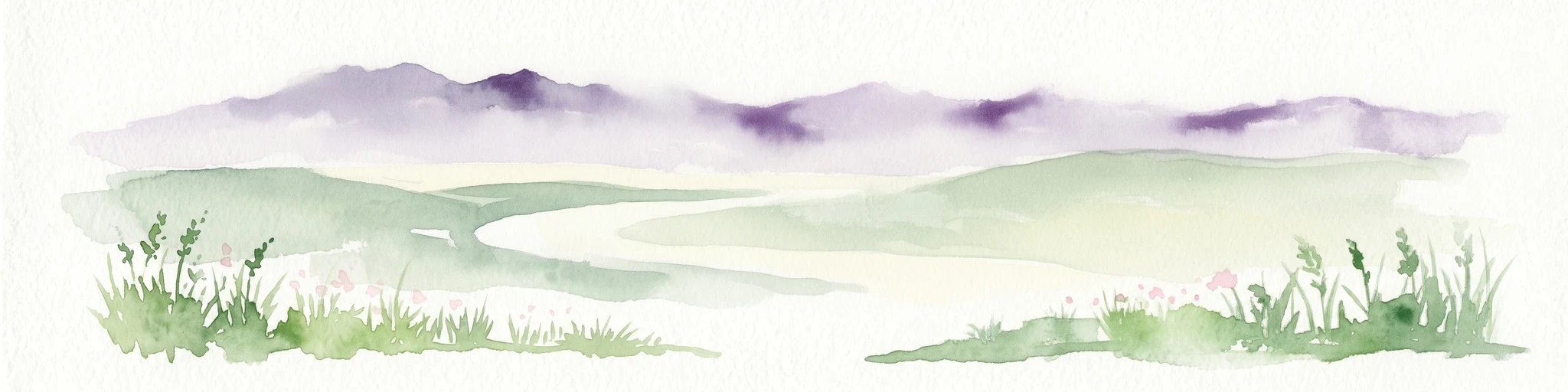
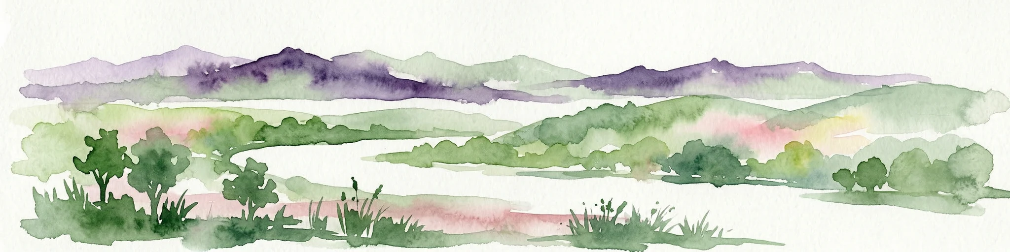
Watercolor illustration showing a wetland area with green vegetation, a winding water body, and purple-hued mountains in the background
National parkUkraine
About 172 km away#2 closest

North

Azov, Syvash National Nature Park: National Park Protected Landscape and Geography

Explore mapped boundaries and regional landscape context.

Azov, Syvash National Nature Park stands as a notable protected area, offering a distinct geographic identity within Ukraine's atlas of natural landscapes. This national park's mapped boundaries provide a foundation for understanding its landscape context and regional significance. MoriAtlas enables detailed exploration of its protected terrain and its place within the country's conservation geography, serving as a gateway to structured geographic information and detailed park data for researchers and explorers.

Area
525.8 km²
Established
1993
IUCN
II
Relief
Lowland
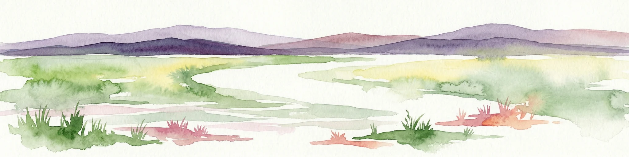
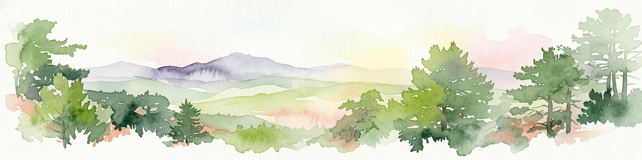
Watercolor illustration of rolling hills, a winding river, and patches of vegetation
National parkKherson Oblast
About 180 km away#3 closest

Northwest

Dzharylhach National Nature Park: Protected Landscape Atlas & Regional Geography

Explore the mapped protected area in Kherson Oblast, Ukraine.

Delve into the geographic details and protected landscape characteristics of Dzharylhach National Nature Park. As a designated national park within Kherson Oblast, this entry provides vital information for understanding its mapped boundaries and its place in the regional geography. MoriAtlas enables a structured approach to discovering and contextualizing protected areas like Dzharylhach, offering a unique perspective for atlas exploration.

Area
100 km²
Established
2009
IUCN
II
Relief
Lowland
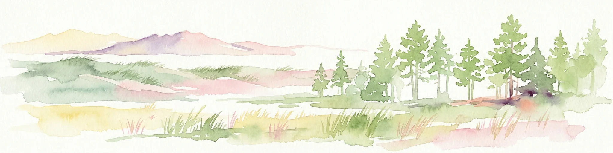
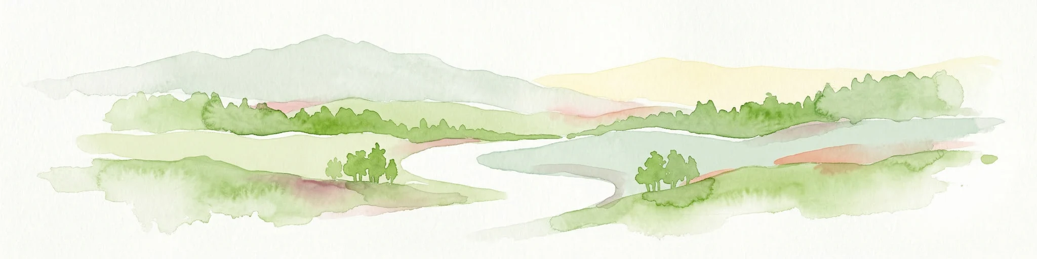
Watercolor illustration of a landscape with grassy fields, trees, a river, and distant hills.
National parkKherson Oblast
About 237 km away#4 closest

Northwest

Oleshky Sands National Nature Park: Mapping Ukraine's Distinctive Semi-Arid Dune Landscape

Explore protected sandy steppe, dunes, and conservation areas in Kherson Oblast.

Oleshky Sands National Nature Park is a critical protected landscape in Kherson Oblast, Ukraine, renowned for its unusual semi-arid terrain dominated by expansive sand dunes and sandy steppe. This page provides detailed geographic context for the park, highlighting its unique mapped boundaries, the contrast between its Radensk and Burkut zones, and its ecological importance as part of the Pontic-Caspian steppe. Understand the specific landscape features and regional geography that make this national park a significant natural asset within Ukraine's protected area network.

Area
80.2 km²
Established
2010
IUCN
II
Relief
Mixed relief
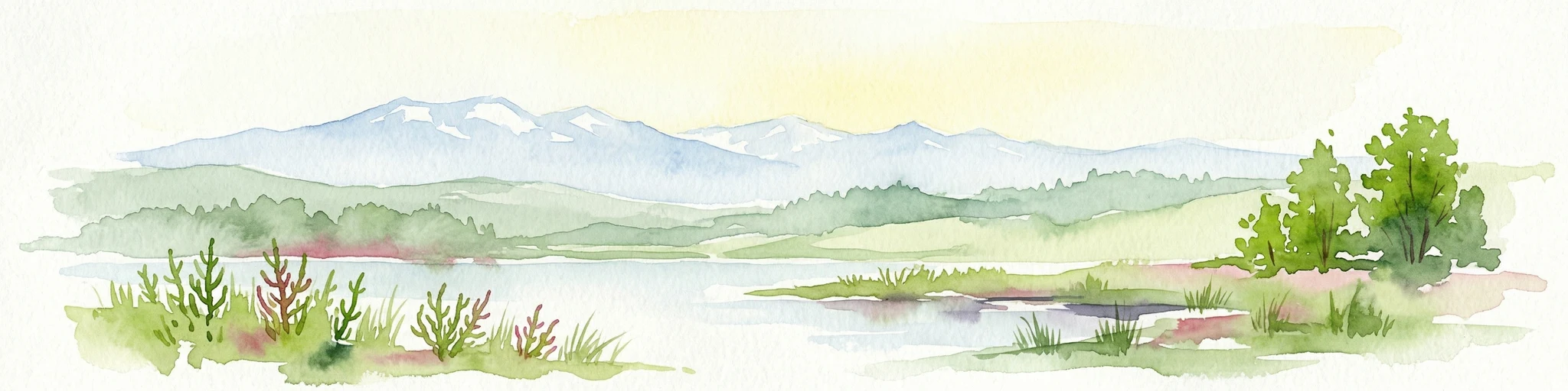
Watercolor painting of a landscape with green hills, water bodies, and vegetation
National parkZaporizhzhia Oblast
About 254 km away#5 closest

North

Pryazovia National Nature Park: National Park Protected Landscape Atlas

Explore the mapped boundaries and regional geography of Pryazovia National Nature Park.

Pryazovia National Nature Park represents a key protected area within Zaporizhzhia Oblast, Ukraine. This MoriAtlas entry provides detailed atlas-style information, emphasizing the park's mapped boundaries and its integration into the regional geography. Understand the park's character as a protected natural landscape situated in the southeastern Ukrainian coastal zone near the Sea of Azov, offering valuable context for geographic exploration.

Area
781 km²
Established
2010
IUCN
II
Relief
Lowland
Watercolor painting showing a river, green vegetation, trees, and distant snow-capped mountains under a light sky
National parkMykolaiv Oblast
About 300 km away#6 closest

Northwest

Ivory Coast of Sviatoslav National Nature Park: National Park Identity and Regional Geography

Mapped protected area in Mykolaiv Oblast, Ukraine.

Gain a structured understanding of Ivory Coast of Sviatoslav National Nature Park, a designated national park in the Mykolaiv Oblast region of Ukraine. This entry focuses on its protected landscape identity and its position within the broader regional geography. Explore the mapped outlines and discover its significance as a key protected territory for atlas-based research and geographic context.

Area
352 km²
Established
2009
IUCN
II
Relief
Lowland
Watercolor illustration of a landscape with rolling hills, a body of water, and greenery
National parkZaporizhzhia Oblast
About 306 km away#7 closest

North

Grand Meadow National Nature Park: National Park Protected Landscape and Regional Geography

Explore the mapped boundaries and natural terrain.

Grand Meadow National Nature Park represents a distinct protected landscape within Zaporizhzhia Oblast, Ukraine. As a national park, its designation signifies an area managed for conservation and geographic study. This entry on MoriAtlas details the park's physical presence, offering users the opportunity to explore its mapped terrain, understand its role in regional geography, and place it within the broader atlas of Ukrainian protected areas. It is ideal for users seeking concrete landscape context and precise geographic data.

Area
168 km²
Established
2006
IUCN
II
Relief
Lowland
Watercolor illustration depicting mountain ranges, green forests, and a valley with a body of water
National parkKastamonu Province
About 327 km away#8 closest

South

Küre Mountains National Park: Ancient Forests and Karst Canyons in Kastamonu Province

Explore Protected Landscape, Map Boundaries, and Regional Geography

Küre Mountains National Park, situated in Kastamonu Province, Turkey, offers a unique glimpse into ancient forest ecosystems and dramatic karst formations. As a protected national park, it is distinguished by its extensive canyon systems, including Horma and Valla, and significant cave networks like Ilgarini Cave. This entry provides detailed geographic context, helping users understand the park's terrain, protected boundaries, and its ecological importance within the Black Sea Region's natural landscape.

Area
377.53 km²
Established
2000
IUCN
II
Relief
Mountain
Watercolor painting of a coastal scene with green hills, trees, and a body of water
National parkDonetsk Oblast
About 332 km away#9 closest

Northeast

Meotyda National Nature Park: Coastal Wetlands and Bird Migration Hub in Donetsk Oblast

Explore protected park boundaries and unique Azov Sea ecosystems.

Meotyda National Nature Park protects a critical stretch of the Sea of Azov coastline, featuring diverse habitats such as coastal wetlands, estuaries, and steppe. Located in Donetsk Oblast, this national park is internationally recognized for its importance to migratory birds, supporting millions of waterfowl and over 100 nesting bird species annually. MoriAtlas offers an in-depth view of its geographic setting, mapped protected area, and its role within regional ecological corridors, providing essential context for understanding this significant Ukrainian natural landscape.

Area
207.21 km²
Established
2009
IUCN
II
Relief
Lowland
National parkBilhorod-Dnistrovskyi Raion
About 363 km away#10 closest

West

Tuzly Lagoons National Nature Park: National Park Atlas and Geographic Context

Mapped protected landscape within Bilhorod-Dnistrovskyi Raion, Ukraine.

Navigate the protected landscape of Tuzly Lagoons National Nature Park through a detailed geographic lens. This national park entry within MoriAtlas provides structured information on its mapped boundaries and regional context within Bilhorod-Dnistrovskyi Raion, part of Ukraine's Bessarabia region. Understand its position and significance as a protected natural area, facilitating a deeper exploration of its geographical attributes and its place in the broader atlas of Ukrainian protected lands.

Area
278.65 km²
Established
2010
IUCN
II
Relief
Lowland
Watercolor illustration of a river delta landscape with winding waterways, green fields, distant mountains, and a pale sky
Protected areaRomania
About 373 km away#11 closest

West

Danube Delta Protected Area: Mapping Europe's Largest River Delta Geography and Wetland Landscape

Explore the mapped protected area, its unique terrain, and regional landscape context.

The Danube Delta, a protected area in Romania, presents a remarkable geography defined by its extensive wetland terrain, intricate waterways, and significant biodiversity. As Europe's largest and best-preserved river delta, it offers a unique landscape for atlas-based exploration, focusing on its mapped boundaries, regional geographic context, and its role as a critical ecological zone where the Danube River merges with the Black Sea. Understand the delta's horizontal expanse, its network of channels, and its evolving landforms within a protected landscape of global importance.

Area
4,152 km²
Established
1998
IUCN
V
Relief
Lowland
Watercolor illustration of a landscape with hills, a river, and green vegetation
National parkOdesa Oblast
About 377 km away#12 closest

Northwest

Lower Dniester National Nature Park: National Park Map and Protected Landscape Atlas

Explore Odesa Oblast's protected natural geography and park boundaries.

The Lower Dniester National Nature Park is a vital component of Ukraine's protected lands, situated within the expansive Odesa Oblast. This page offers detailed geographic context, focusing on the park's mapped boundaries and its contribution to the regional landscape. Dive into an atlas-style exploration that highlights the park's protected terrain and its significance within the natural geography of southwestern Ukraine, offering structured discovery beyond basic park facts.

Area
213 km²
Established
2008
IUCN
II
Relief
Lowland
Watercolor artwork depicting a waterfall cascading between forested hills with a lake in the foreground and distant mountains
National parkKrasnodar Krai
About 389 km away#13 closest

East

Sochi National Park: Mapped Geography and Protected Mountain Landscapes

A cornerstone of the Western Caucasus mountain range

Sochi National Park represents a significant protected area within Krasnodar Krai, defined by its steep elevation changes and varied mountain ecosystems. The park preserves crucial river corridors and forest terrain, stretching from the Black Sea coast to the high-altitude meadows of the Greater Caucasus. This atlas overview highlights the natural boundaries and geographic character of one of Russia's most significant conservation landscapes.

Area
1,937.37 km²
Established
1983
IUCN
II
Relief
Mountain
National parkKrasnodar Krai
About 389 km away#14 closest

East

Sochi National Park: Geographic Overview and Protected Landscape Mapping

A vertical transition from Black Sea coast to Caucasus peaks.

Sochi National Park serves as a critical protected landscape in Krasnodar Krai, characterized by a dramatic range from coastal pebble beaches to the snowy summits of the Greater Caucasus. This map-focused entry details the dense canyons, karst cave networks, and humid subtropical forests that define the region's geography and conservation value.

Area
2,086 km²
Established
1983
IUCN
II
Visitors
2.8M annual
National parkKastamonu Province
About 402 km away#15 closest

South

Mount Ilgaz National Park: A Protected Landscape at the Crossroads of Anatolian Geography

Explore unique ecosystems and mapped terrain in Kastamonu Province

Mount Ilgaz National Park offers a deep dive into a unique protected landscape where Central Anatolian and Black Sea ecosystems converge. Situated in Kastamonu Province, its rugged mountain terrain and distinct mapped boundaries showcase a rich geographic identity. This park is an essential point for understanding Turkey's biogeographic transition zones, its diverse forest ecosystems, and the regional context of the Ilgaz Mountains. Delve into its protected status and discover the interplay of climate and terrain that defines this significant natural area.

Area
7.424 km²
Established
1976
IUCN
II
Relief
Mountain
Watercolor illustration showing mountains, forests, and fields.
National parkMykolaiv Oblast
About 457 km away#16 closest

Northwest

Bug Gard National Nature Park: Mapped Protected Landscape in Mykolaiv Oblast

Explore National Park Geography and Boundaries

Delve into Bug Gard National Nature Park, a designated national park situated in Mykolaiv Oblast, Ukraine. This detailed view highlights the park's protected landscape, offering insights into its geographic distribution and mapped boundaries. Understand its place within the regional terrain and access structured information for atlas-based exploration of this significant natural area.

Area
61.38 km²
Established
2009
IUCN
II
Relief
Mixed relief
Watercolor painting showing multiple lakes surrounded by green trees and mountains under a light sky
National parkBolu Province
About 465 km away#17 closest

Southwest

Yedigöller National Park: Bolu Province's Landslide Lake and Forested Protected Landscape

Discover mapped terrain and unique natural park geography.

Yedigöller National Park presents a distinctive protected landscape within Bolu Province, notable for its chain of seven landslide-formed lakes and extensive, dense forests. This page serves as your entry point to understanding the park's geographic distribution, mapped boundaries, and the characteristic terrain that defines this important natural area. Explore the unique ecosystem and its place within the broader regional geography through structured atlas-style discovery.

Area
16.23 km²
Established
1965
IUCN
II
Relief
Mixed relief
Watercolor painting showing mountains, green fields, and trees in a landscape
Protected areaTulcea County
About 485 km away#18 closest

West

Măcin Mountains Protected Area: Geographic Atlas and Landscape Context

Explore mapped boundaries and regional geography

Delve into the Măcin Mountains, a protected area located in Tulcea County. This detailed entry provides essential geographic information, focusing on its mapped boundaries and the surrounding natural landscape. MoriAtlas offers a structured approach to understanding this protected land's position within the regional geography, empowering users to explore its unique characteristics through a lens of atlas-driven discovery and conservation context.

Area
113.21 km²
IUCN
II
Relief
Mountain
Climate
Temperate
Watercolor illustration of a forested landscape with green trees, rolling hills, and distant mountains
National parkTurkey
About 489 km away#19 closest

South

Soğuksu National Park: Turkey's Highland Forest Protected Landscape Discovery

Explore mapped boundaries and unique Anatolian geography.

Soğuksu National Park serves as a significant protected natural area in central Turkey, celebrated for its substantial coniferous forest ecosystem. This park showcases a transition zone between major geographic regions, offering a unique highland landscape shaped by volcanic geology. Discover its mapped protected boundaries and its role as a vital natural atlas point within the broader Turkish geography, featuring diverse terrain and important ecological elements.

Area
11.87 km²
Established
1959
IUCN
II
Relief
Mountain
Watercolor illustration of a winding river through a landscape with hills and trees
National parkOrhei District
About 506 km away#20 closest

Northwest

Orhei National Park: Explore Moldova's Inaugural National Park Landscape

Mapped protected boundaries and regional geography in Orhei District.

As Moldova's first national park, Orhei National Park offers a rich exploration of the Codri region's characteristic hilly terrain and extensive deciduous forests. Situated within Orhei District, this protected area encompasses the meandering Răut River valley and notable landscape reserves. Its designation highlights a crucial commitment to preserving both the natural beauty and the significant cultural heritage, including the UNESCO candidate site of Old Orhei, making it a key destination for understanding Moldova's protected lands and regional geography.

Area
337.92 km²
Established
2013
IUCN
II
Relief
Highland
Distance methodology

Geographic measurements, not driving distances

How nearby park distances are calculated

Distances use park boundaries whenever the available geometry allows it. When one or both boundaries are missing, the mapped park locations provide a clearly labelled estimate. Every value represents straight-line geographic separation and does not use roads or routing.

Boundary distance

Calculated between the nearest points of both park boundaries.

Location-to-boundary estimate

Estimated from one mapped park location to the nearest boundary of the other park.

Mapped-location estimate

Estimated between the mapped locations of both parks.

MoriAtlas Explorer

Continue Exploring Crimean Nature Reserve's Protected Landscape and Geography

To further understand the significance of the Crimean Nature Reserve, explore its specific mapped boundaries and its place within the broader Crimean Mountains geography. This protected area offers rich insights into mountain forest ecosystems and unique karst terrain, serving as a valuable component of regional landscape discovery. Continue your atlas exploration to grasp the full geographic context of this important nature reserve.