Northeast
Bandhavgarh National Park
Explore the geographic boundaries and mapped terrain.
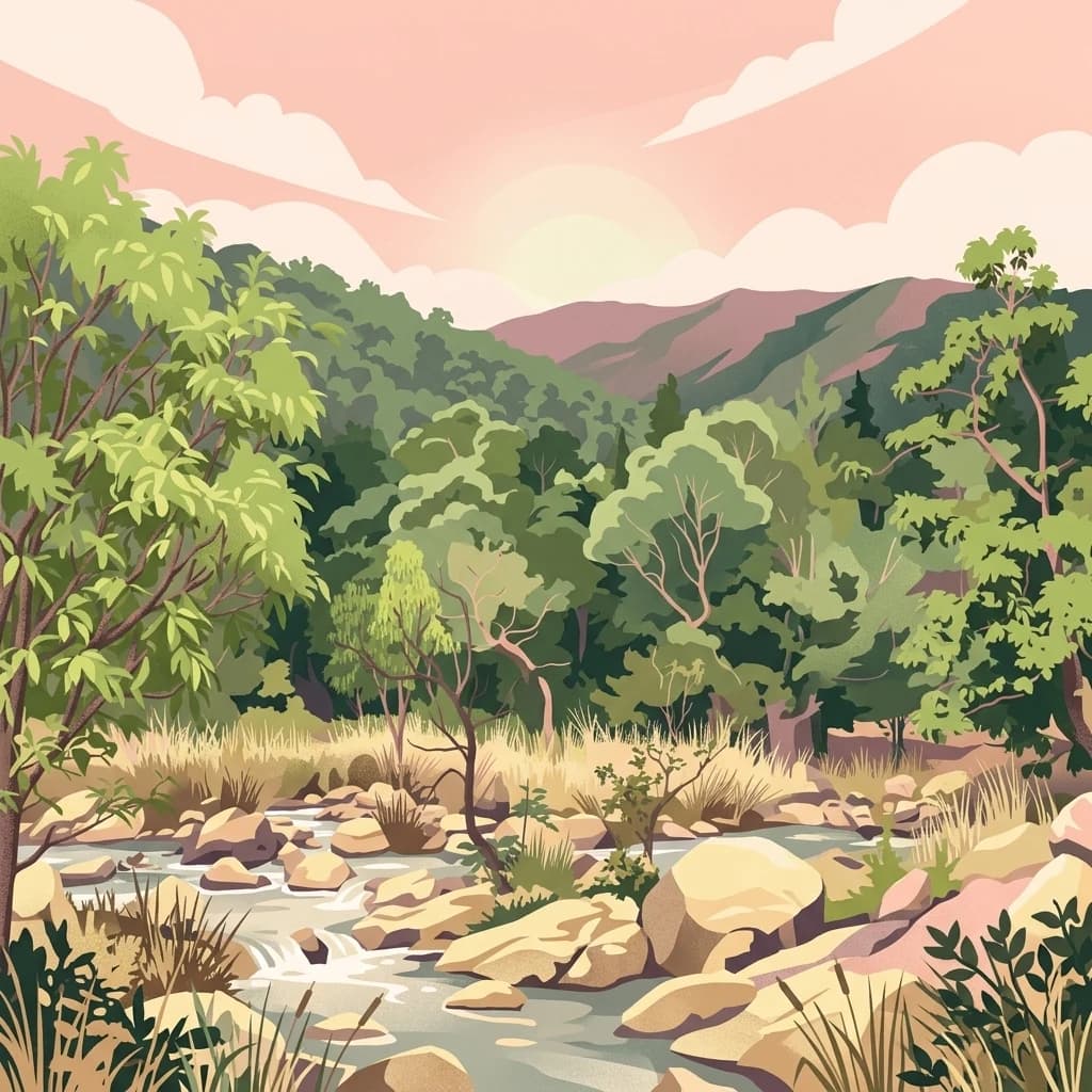
Bandhavgarh National Park, in Umaria district, India. Landscapes: forests and hills.
- Area
- 105 km²
- Established
- 1968
- IUCN
- II
- Visitors
- 176.1K annual
Regional map and landscape context for protected lands surrounding this fossil site
Explore the geographic distribution of national parks and protected areas situated within the regional landscape of Ghughua Fossil Park. This collection highlights surrounding conservation boundaries and landforms to provide a clearer perspective on the protected terrain of central Madhya Pradesh.
Related tags
Ancient fossil forest preserving 65 million years of botanical history
Ghughua Fossil Park is a national park located in Madhya Pradesh, central India, near the village of Shahpura in Dindori district. Established as a protected area in 1983, this remarkable site preserves an extraordinary collection of plant fossils dating back approximately 65 million years to the late Cretaceous period. The park encompasses roughly 75 acres of terrain where numerous plant, leaf, fruit, seed, and shell fossils have been discovered, representing 31 genera across 18 families. What makes Ghughua particularly significant is its preservation of tropical and subtropical flora from an ancient era when this region supported a vastly different ecosystem. The park was founded during the 1970s through the efforts of Dr. Dharmendra Prasad, a statistical officer from Mandla district who recognized the scientific importance of the fossil beds and worked to preserve this paleontological treasure.
See the ranked park cluster in its geographic setting
Distance ranked regional park geography and surrounding landscape comparison

Northeast
Explore the geographic boundaries and mapped terrain.
Bandhavgarh National Park, in Umaria district, India. Landscapes: forests and hills.

South
Mapped park boundaries and regional geographic context.
Kanha Tiger Reserve, in Madhya Pradesh, India. Landscapes: forests, woodlands, and grasslands.
Northeast
Explore the mapped boundaries and landscape context of this national park.
Sanjay National Park, situated in Madhya Pradesh, India, is a substantial protected area recognized for its significant role in conservation. The park features a landscape dominated by hilly terrain and extensive dry deciduous forests, bisected by the Banas River. As a national park and tiger reserve, its mapped geography supports a rich ecosystem and is vital for understanding the protected lands of central India.
North
Geographic context and protected boundaries in Madhya Pradesh.
Gain a structured understanding of Panna National Park as a protected national park entity. This detail page focuses on its specific geographic setting within Madhya Pradesh and its mapped landscape features. Explore the park's protected boundaries and regional natural context, ideal for atlas-based discovery and understanding its place in India's conservation geography.
East
Explore protected area geography and regional context.
Guru Ghasidas - Tamor Pingla Tiger Reserve, identified as a wildlife reserve, offers detailed insight into its protected landscape and geographic positioning within Chhattisgarh. Users can explore its mapped boundaries and understand its contribution to the region's natural terrain. This resource focuses on the atlas-style discovery of protected areas, providing a clear picture of the reserve's environmental context and regional significance without delving into visitor logistics.

Southwest
Mapped geographic context and protected area boundaries
Pench National Park is a designated national park situated in Madhya Pradesh, India, offering a distinct protected landscape for geographic study. This entry provides detailed insights into its mapped terrain, allowing for an atlas-style exploration of its protected boundaries and its significance within the regional geography. Understand the park's place in the landscape and its value for conservation-focused map exploration.

South
Mapped protected area and regional landscape context.
Navegaon National Park is a designated national park offering rich opportunities for geographic discovery. Users can delve into its mapped boundaries and understand its protected landscape character within Maharashtra. This page provides structured data for exploring the park's role as a conservation area and its contribution to the natural geography of the region, ideal for atlas-based research.

West
Explore mapped boundaries and regional geographic context.
Satpura National Park represents a significant protected area within India, offering valuable insights for geographic and atlas exploration. As a designated national park, its mapped boundaries and landscape character are central to understanding its protected status. This entry provides a focused view on Satpura National Park, highlighting its contribution to the atlas of protected lands in India and its distinct geographic identity for researchers and explorers.
North
Freshwater marshland and migratory bird habitat in North India
Samaspur Bird Sanctuary preserves a series of freshwater jheels and marshes in the central Gangetic plain. This protected area supports an expansive ecosystem of migratory waterfowl and resident species, defining a distinct natural enclave within the agricultural landscape of Raebareli district.
West
Mapped boundaries within Madhya Pradesh's natural context.
Van Vihar National Park is a designated national park offering a unique perspective on protected landscapes within Madhya Pradesh. This detail entry provides essential geographic context, focusing on the park's mapped boundaries and its role within the region's natural terrain. It serves as a vital point for understanding the distribution and identity of protected areas for atlas exploration.

South
Geographic context within Chandrapur district, India.
Investigate Tadoba Andhari Tiger Reserve as a national park, focusing on its distinct protected landscape characteristics. This detail page provides structured insights into its mapped boundaries and its position within the regional geography of Chandrapur district, essential for a comprehensive understanding of India's protected natural areas.

East
Mapped boundaries of a significant protected landscape.
Betla National Park, situated in Jharkhand, India, is a key national park offering significant value for geographic and protected-area discovery. This resource facilitates exploration of its mapped boundaries, providing a clear understanding of its protected landscape and its relationship to the surrounding regional geography. Delve into the structured data to comprehend the park's atlas context and its role as a conserved natural area within India.

North
A Ramsar-recognized lake ecosystem and wildlife reserve.
Located in the Unnao district, Nawabganj Bird Sanctuary features a significant freshwater lake that serves as a vital hydrological heart for the region. The sanctuary creates an essential ecological mosaic of reed-fringed water, dry land patches, and woodland edges. This protected landscape plays a foundational role in conservation efforts for migratory waterfowl and resident species on the Indo-Gangetic plain, offering unique insights into wetland terrain mapping.

Northwest
Mapping the geography and protected boundaries of Madhav National Park.
Delve into the detailed geographic profile of Madhav National Park, a vital national park situated in Madhya Pradesh, India. This section offers an atlas-centric perspective, highlighting the park's protected landscape characteristics and its precise location within the regional geography. Uncover its mapped boundaries and understand its role as a key protected area for comprehensive geographic exploration.
Southwest
Explore its mapped boundaries and regional landscape context.
Gugamal National Park represents a critical protected natural landscape within the state of Maharashtra, India. As a designated national park, it provides essential context for understanding the region's geography and the spread of conservation efforts. Users can explore the park's mapped boundaries and its role within the broader atlas of protected areas, contributing to a detailed geographic understanding.

South
Explore mapped boundaries and regional geography in Bijapur district.
Indravati National Park represents a significant protected natural area, classified as a national park within India. This entry offers detailed insights into its geographic placement within Bijapur district, emphasizing its mapped protected landscape and its role in regional geography. It serves as a vital point for structured discovery of natural areas and their environmental context.
North
Examining oxbow lakes and freshwater habitat boundaries
Located in northern India, Parvati Arga Bird Sanctuary encompasses a vital mosaic of freshwater oxbow lakes and surrounding deciduous woodland. The sanctuary serves as a key conservation area within Uttar Pradesh, protecting essential waterbird habitats and demonstrating the complex hydro-geography of the Gangetic plain through its crescent-shaped lakes and marshy margins.

Northwest
Explore its diverse dry deciduous forests and savannah terrain.
Kuno National Park is a protected area in Madhya Pradesh, India, renowned for its dry deciduous forest and savannah grassland ecosystems. This national park, bisected by the Kuno River, offers a significant landscape for understanding regional geography and conservation efforts within India. Its varied terrain provides essential habitat and contributes to the broader atlas of protected lands, making it a key destination for geographic discovery.
North
Inland wetland habitat within the western Uttar Pradesh agricultural plain
Saman Bird Sanctuary represents a key protected Ramsar wetland located in the Mainpuri district of Uttar Pradesh. The site is defined by a seasonal, rain-fed oxbow lake that integrates with surrounding agricultural fields. It maintains a distinct ecological identity through its nesting colonies of resident birds and large winter congregations of migratory species on the flat alluvial landscape.

North
A Ramsar-designated protected area in the Indo-Gangetic plains
Sandi Bird Sanctuary represents a critical protected wetland ecosystem in Uttar Pradesh, featuring the 309-hectare Dahar Jheel. This reserve acts as a focal point for birdlife in northern India, providing essential marshland habitat alongside the River Garra. The geography reflects the flat, alluvial nature of the Gangetic plain, offering deep insights into regional wetland conservation and migratory ecology.
Geographic measurements, not driving distances
Calculated between the nearest points of both park boundaries.
Estimated from one mapped park location to the nearest boundary of the other park.
Estimated between the mapped locations of both parks.
Delve deeper into the structured geographic information for Ghughua Fossil Park. Understand its specific mapped boundaries and its placement within the broader atlas of protected lands in Madhya Pradesh. This resource aids in detailed landscape context and regional park geography discovery.