Mori Atlas logo
Nearby park discovery

Regional landscape mapping and geographic distribution of surrounding protected areas

National Parks and Protected Areas Located Near Linnansaari National Park in Finland

Browse the geographic distribution of national parks and protected lands within the proximity of Linnansaari National Park. This regional overview highlights surrounding natural landscapes and protected area boundaries located across the South Savo lake district and adjacent Finnish territories.

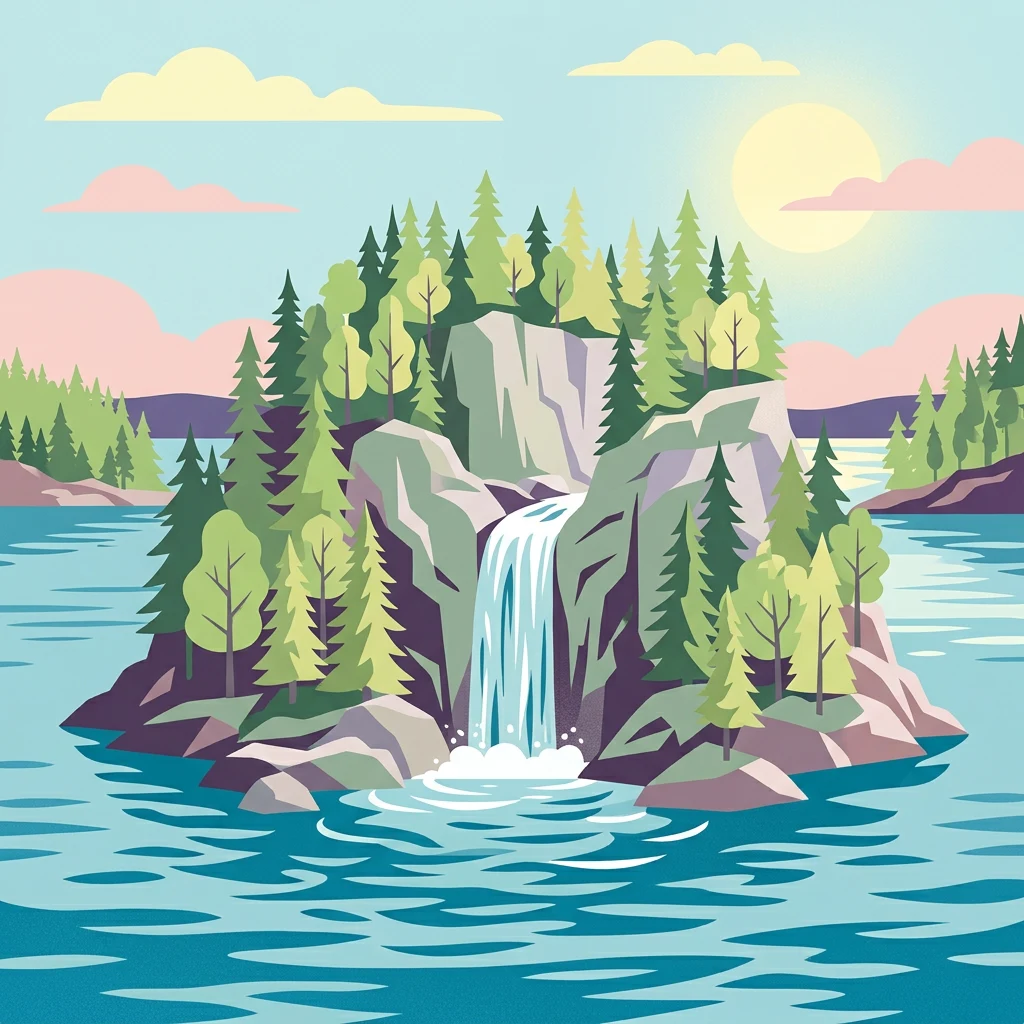
Stylized illustration of a forested island with a waterfall, surrounded by lake, trees, and cliffs under a bright sky with clouds and sun.

A lake archipelago sanctuary protecting the critically endangered Saimaa ringed seal

Linnansaari National Park

Linnansaari National Park is a distinctive lake archipelago in the heart of Finland's renowned lakeland, situated in the middle of Haukivesi, a major basin of the greater Saimaa lake system. Established in 1956, the park encompasses the main island of Linnansaari together with hundreds of smaller islands and islets scattered across the scenic waters of South Savo and Northern Savonia regions. The park was created to conserve the valuable natural features of Finnish lakeland, protecting both outstanding natural environments and traditional cultural landscapes. The landscape combines natural-state coniferous forests with herb-rich deciduous sections, while the main island features an old croft where traditional slash-and-burn agriculture continues to maintain the cultural environment and support associated biodiversity. The park holds particular global significance as a refuge for the critically endangered Saimaa ringed seal, one of the world's rarest seal subspecies.

Location
Finland
Park type
National park
Established
1956
Area
38 km²
Linnansaari National Park Protected Area
Regional park map

See the ranked park cluster in its geographic setting

Nearby parks around Linnansaari National Park

This regional map shows the same 20 nearby parks ranked below around Linnansaari National Park. Select a ranked marker to highlight that park’s boundary where boundary data is available.
Reference park: Linnansaari National ParkRanked nearby parkSelected boundary: Linnansaari National Park20 nearby parks shown
20 nearby parks

Distance ranked collection and surrounding regional park geography comparison

Parks and Protected Areas Geographically Near Linnansaari National Park

Examine the ranked collection of protected areas situated geographically near Linnansaari National Park based on direct boundary measurements. Compare surrounding regional landscapes and environmental attributes to understand broader conservation patterns across the territory.
National parkEtelä-Savo
About 19 km away#1 closest

Northeast

Kolovesi National Park: Mapped Protected Landscape in Etelä-Savo, Finland

Explore its geographic identity and mapped park boundaries.

Kolovesi National Park is a significant protected area located in the Etelä-Savo region of Finland, characterized by its presence within the Finnish lake district. This detailed page provides an atlas-centric view, emphasizing the park's mapped geographic features and its status as a protected natural landscape. Users engaging with MoriAtlas can understand Kolovesi National Park's unique landscape context and its precise location within the regional geography of southeastern Finland.

Area
61 km²
Established
1990
IUCN
II
Visitors
17.2K annual
Watercolor painting depicting a lake, grassy foreground, and mountains under a pink and yellow sky
National parkCentral Finland
About 86 km away#2 closest

Northwest

Southern Konnevesi National Park: National Park Protected Landscape Atlas

Mapped boundaries and regional geography within Central Finland.

Southern Konnevesi National Park is a vital protected area within Central Finland, distinguished by its national park status and its inclusion in the vast Finnish Lakeland. This entry provides a detailed geographic context for the park, emphasizing its mapped boundaries and its role within the region's natural landscape. Users can leverage this structured information for atlas-based discovery and to understand the park's specific environmental setting. Explore the terrain and protected land features that define this significant Finnish protected area.

Area
15 km²
Established
2014
IUCN
II
Visitors
30.4K annual
Watercolor illustration showing a lake with forested shores and mountains in the background
National parkRepublic of Karelia
94 km away#3 closest

Southeast

Ladoga Skerries National Park: National Park Protected Landscape & Geography

Mapped boundaries and regional context in the Republic of Karelia.

Discover Ladoga Skerries National Park, a key protected area recognized as a national park within the Republic of Karelia. This page provides essential context for understanding its mapped boundaries, the natural terrain it encompasses, and its geographical significance within the broader regional landscape. Utilize this information for structured atlas exploration of protected natural environments, focusing on the distinct identity of Ladoga Skerries National Park.

Area
1,220 km²
Established
2017
IUCN
II
Relief
Lowland
A soft, pale green and blue watercolor illustration showing several rocky islands with sparse vegetation surrounded by water, with faint hills in the background.
National parkЯмало-Ненецкий автономный округ
94 km away#4 closest

Southeast

Ладожские шхеры National Park: Mapped Geography and Protected Archipelago Boundaries

Coastal skerry landscapes and Lake Ladoga regional terrain

Defined by the ancient Baltic Shield, Ладожские шхеры National Park protects a dense network of rocky islands and glacially carved inlets. This landscape serves as a vital ecological hotspot within Karelia, preserving clean lake waters and forested summits that stand as a geographic exception in the European Russian landscape.

Area
1,220.08 km²
Established
2017
IUCN
II
Relief
Lowland
Watercolor painting showing a landscape with a lake, forests, and marshy areas under a light sky
National parkCentral Finland
About 114 km away#5 closest

West

Leivonmäki National Park: Mapped Protected Landscape in Central Finland

Detailed geographic context for this Finnish national park.

Leivonmäki National Park offers a specific focus on a single protected landscape within the broader geography of Central Finland. This page provides users with detailed information centered on the park's mapped boundaries and its role as a national park. It is designed to be a foundational entry within the MoriAtlas discovery platform, helping users understand the park's geographic setting and its protected area status for informed exploration.

Area
29 km²
Established
2003
IUCN
II
Visitors
29.1K annual
Watercolor illustration of a landscape featuring green vegetation, rolling hills, and a body of water under a pastel sky
National parkNorth Karelia
116 km away#6 closest

Northeast

Koli National Park: Protected National Park in North Karelia, Finland

Explore mapped landscape and regional geography.

Koli National Park represents a significant protected area within the eastern Finnish region of North Karelia. This page offers detailed geographic context and insight into the park's mapped landscape, essential for understanding its place within the broader atlas of Finland's natural terrain. Discover the protected boundaries and regional setting of this key national park.

Area
30 km²
Established
1991
IUCN
II
Visitors
249.8K annual
Watercolor illustration showing a landscape with mountains, a winding river, and patches of green vegetation and trees
National parkFinland
123 km away#7 closest

Southwest

Repovesi National Park: Finland's Boreal Wilderness and Protected Landscape

Explore mapped terrain and regional geography.

Repovesi National Park represents a significant protected natural area in southeastern Finland, showcasing a landscape characterized by dense boreal forests, rolling hills, and numerous lakes. As one of Finland's most visited national parks, it offers a compelling example of conserved wilderness and natural terrain. This page details the park's protected landscape identity, its geographic setting within Finland, and the atlas-driven insights available for exploring its mapped boundaries and natural features.

Area
15 km²
Established
2003
IUCN
II
Visitors
100.9K annual
Watercolor illustration of a river flowing through a wetland area with grassy banks, trees, and distant hills
National parkNorth Karelia
About 142 km away#8 closest

East

Petkeljärvi National Park: Distinct Protected Landscape and Esker Formations in North Karelia

Discover Finland's unique esker ridges and boreal forests.

Petkeljärvi National Park represents a distinctive protected landscape in North Karelia, Finland, celebrated for its prominent esker formations that define its topography. The park showcases light Scots pine forests growing on sandy soils, creating an open forest character that sets it apart. Visitors can explore the mapped geography, including winding ridges, wetlands, and lake scenery, alongside preserved historical fortifications from the Continuation War, offering a rich blend of natural and cultural heritage within this compact national park.

Area
7 km²
Established
1956
IUCN
II
Visitors
17.3K annual
Watercolor illustration of a bog landscape with green trees, a body of water, and rolling hills in the background
National parkNorth Karelia
147 km away#9 closest

Northeast

Patvinsuo National Park: Protected Landscape Geography and Map Context

National park exploration in North Karelia, Finland.

Patvinsuo National Park stands as a vital protected area within North Karelia, Finland. This page serves as an atlas entry point, detailing the park's geographic scope, mapped boundaries, and its significance as a protected landscape. Users can explore the regional context and understand the natural terrain that characterizes this important Finnish national park, facilitating structured geographic discovery.

Area
105 km²
Established
1982
IUCN
II
Visitors
18.6K annual
Watercolor illustration of a landscape with green forests, rolling hills, and a body of water under a pale sky
National parkCentral Finland
About 154 km away#10 closest

Northwest

Pyhä-Häkki National Park: Central Finland's Ancient Forest Protected Landscape

Discover mapped boundaries, old-growth trees, and boreal peat bog ecosystems.

Pyhä-Häkki National Park is a crucial protected national park in Central Finland, safeguarding an exceptional expanse of old-growth forest and vital peat bog habitats. This protected landscape showcases ancient trees, some over 400 years old, and a unique boreal ecosystem largely untouched by human development. Explore its natural terrain, mapped park boundaries, and the ecological significance of this primeval forest environment through MoriAtlas's structured discovery platform.

Area
13 km²
Established
1956
IUCN
II
Visitors
17.9K annual
Watercolor painting of a lake surrounded by forests with mountains in the background and a sunset sky
National parkFinland
About 157 km away#11 closest

North

Tiilikkajärvi National Park: Finland's Unique Protected Landscape with Sandy Shores and Eskers

Mapped geography of a distinctive Finnish national park.

Tiilikkajärvi National Park showcases a unique combination of natural features within Finland's protected lands. The park's core is the Tiilikkajärvi lake, almost entirely encircled by expansive sandy beaches and dramatic esker peninsulas. These glacial landforms create a striking visual contrast with the surrounding boreal forests and rare undrained aapa bogs. Explore the mapped landscape context and protected area identity of this significant Finnish natural environment.

Area
72 km²
Established
1982
IUCN
II
Visitors
26.1K annual
National parkPäijät-Häme
162 km away#12 closest

Southwest

Päijänne National Park: Mapped Island Archipelago in Finland's Päijät-Häme Region

Explore unique glacial geology and boreal island wilderness.

Päijänne National Park presents a compelling protected landscape for atlas discovery, focusing on its distinct archipelago character within Lake Päijänne, Southern Finland. This national park features numerous islands showcasing ancient geological formations, from rocky outcrops to sandy beach ridges and moraine formations. Its mapped terrain offers insights into glacial processes and the development of boreal island ecosystems. Navigate its unique island settings to understand the geographic context of this protected area in the Päijät-Häme region.

Area
14 km²
Established
1993
IUCN
II
Visitors
67K annual
National parkFinland
About 173 km away#13 closest

West

Isojärvi National Park: Finland's Protected Landscape with Dynamic Beaver-Shaped Terrain

Central Finland's boreal forest, ravines, and lake district geography.

Isojärvi National Park offers a unique atlas perspective on Central Finland's protected natural landscapes. This national park is characterized by a dynamic boreal environment, featuring steep hills, deep ravines, and varied topography shaped by both ancient geological processes and contemporary beaver activity. Discover the mapped boundaries of this protected area, its central role in the Finnish lake district's geography, and the distinctive wetland habitats created by beavers that enhance its ecological diversity. It serves as a key point for understanding regional landscape context and protected land exploration.

Area
19 km²
Established
1982
IUCN
II
Visitors
24.4K annual
National parkKainuu
About 183 km away#14 closest

North

Hiidenportti National Park: Kainuu Protected Area and Geographic Landscape Context

Explore mapped boundaries and regional geography in eastern Finland.

This MoriAtlas entry details Hiidenportti National Park, a designated national park situated in the Kainuu region of Finland. It serves as a vital hub for understanding the protected area's mapped landscape, its specific geographic characteristics, and its position within the regional atlas of eastern Finland's natural terrain. Dive into the structured details that define Hiidenportti National Park's protected identity and its contribution to the geographic understanding of the taiga-forested regions.

Area
45 km²
Established
1982
IUCN
II
Visitors
11.3K annual
National parkKymenlaakso
186 km away#15 closest

Southwest

Valkmusa National Park: Protected Area Atlas & Kymenlaakso Geography

Mapped natural landscape context within southeastern Finland.

Valkmusa National Park offers a unique opportunity for structured exploration of Finland's protected areas. Within the Kymenlaakso region, this national park presents a specific geographic identity for map-based discovery. Understand its protected landscape, mapped terrain, and regional context to build a comprehensive picture of southeastern Finland's natural geography through MoriAtlas.

Area
17 km²
Established
1996
IUCN
II
Visitors
20.3K annual
National parkFinland
198 km away#16 closest

Northwest

Salamajärvi National Park: Explore Finland's Premier Mired Wilderness and Protected Landscape

Mapped boundaries and wetland ecosystems of this Finnish National Park.

Salamajärvi National Park is a critical protected area in Finland, celebrated for its unparalleled mire ecosystems, which represent some of the country's most extensive and intact peatland environments. The park's landscape is shaped by the Suomenselkä watershed, featuring a mosaic of old-growth forests, forest lakes, and rugged terrain, providing a vital sanctuary for forest reindeer. MoriAtlas details its geographic context and protected landscape features, offering users a structured way to explore its natural identity and mapped boundaries within Finland.

Area
62 km²
Established
1982
IUCN
II
Visitors
24.5K annual
Watercolor painting of a coastal scene with islands, rocky shores, and scattered trees under a pale sky
National parkKymenlaakso
About 203 km away#17 closest

South

Eastern Gulf of Finland National Park: Kymenlaakso's National Park and Coastal Geography

Explore protected lands and mapped terrain.

The Eastern Gulf of Finland National Park is a designated national park located in the Kymenlaakso region of southeastern Finland. This entry provides specific geographic context for the park, detailing its role as a protected landscape and its mapped boundaries within the coastal atlas of the Gulf of Finland. Understanding its regional setting within Kymenlaakso allows for a more structured exploration of Finland's protected natural areas and their unique geographic identities.

Area
6 km²
Established
1982
IUCN
II
Visitors
15.8K annual
Watercolor painting depicting a landscape with hills, forests, and a river using muted colors
National parkPirkanmaa
218 km away#18 closest

West

Helvetinjärvi National Park: Protected Landscape and Geographic Context in Pirkanmaa

Mapped national park boundaries and regional natural terrain.

Delve into the details of Helvetinjärvi National Park, a protected area within the Pirkanmaa region of Finland. This atlas entry highlights the park's mapped geographic features and its identity as a national park. Understand the protected landscape and its place in the broader Finnish geography, offering structured insights for map-based discovery.

Area
49.8 km²
Established
1982
IUCN
II
Visitors
44K annual
Natural monumentRepublic of Karelia
About 232 km away#19 closest

Northeast

Mount Vottovaara Natural Monument: Explore Protected Landscape and Geographic Context in Karelia

Mapped protected area boundaries and regional terrain in the Republic of Karelia.

Mount Vottovaara represents a significant natural monument within the Republic of Karelia, offering a focal point for structured geographic exploration. This protected landscape's mapped boundaries and its setting within the region's broader geography are key to understanding its atlas value. MoriAtlas provides the framework to examine the specific identity of Mount Vottovaara as a protected area, encouraging detailed study of its natural features and regional context.

Area
15 km²
Established
2011
IUCN
III
Relief
Mixed relief
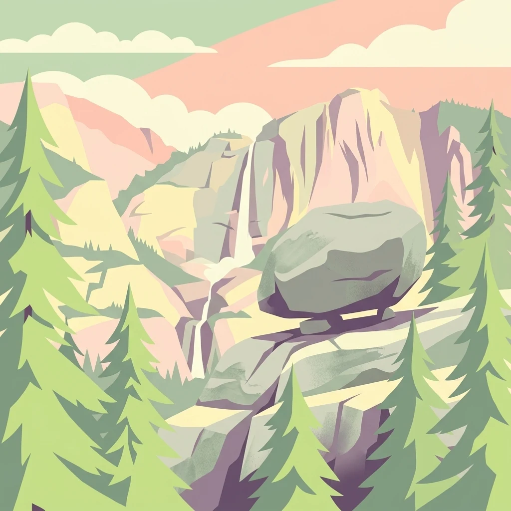
A stylized vector illustration featuring a large, balanced boulder perched on a cliff edge, surrounded by evergreen trees and a distant mountain waterfall.
Natural monumentRepublic of Karelia
About 232 km away#20 closest

Northeast

Vottovaara National Park and Natural Monument: Mapping the West Karelian Upland

Protected quartzite massifs and glacial boulder fields in Russia

Vottovaara stands as a significant natural landmark in the Republic of Karelia, defined by its quartzite bedrock and plateau covered in glacial erratics. As a protected national park and natural monument, it represents the high-relief landscape of the West Karelian Upland, providing mapped access to a unique convergence of taiga forest and exposed geological formations.

Area
140.59 km²
Established
2023
IUCN
III
Relief
Mountain
Distance methodology

Geographic measurements, not driving distances

How nearby park distances are calculated

Distances use park boundaries whenever the available geometry allows it. When one or both boundaries are missing, the mapped park locations provide a clearly labelled estimate. Every value represents straight-line geographic separation and does not use roads or routing.

Boundary distance

Calculated between the nearest points of both park boundaries.

Location-to-boundary estimate

Estimated from one mapped park location to the nearest boundary of the other park.

Mapped-location estimate

Estimated between the mapped locations of both parks.

MoriAtlas Explorer

Continue exploring Linnansaari National Park's geographic and protected landscape details

Deepen your understanding of Linnansaari National Park by exploring its specific geographic context and protected landscape features. This MoriAtlas entry offers structured information designed to enhance your appreciation of its mapped boundaries and regional setting within South Savo, Finland, furthering your atlas-based discovery of natural areas.