National parkItaly
0.1 km away#1 closest
Northwest

Gran Sasso and Monti della Laga National Park
Mapped protected areas and regional natural landscape details.
Gran Sasso and Monti della Laga National Park, in Italy.
- IUCN
- II

Map geographic relationships and surrounding conservation areas in central Italy
Compare protected areas near Maiella National Park, ordered by geographic distance. They include Gran Sasso National Park and Abruzzo, Lazio and Molise National Park.
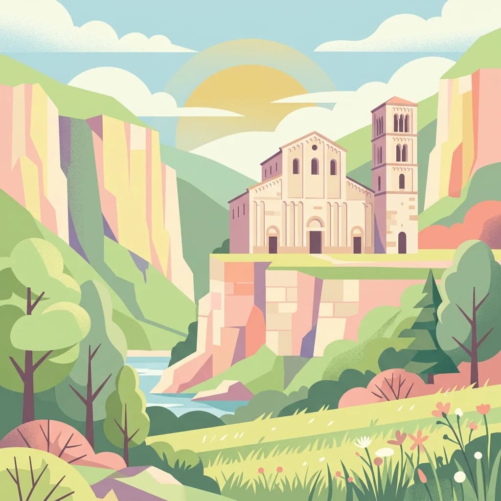
Italy's limestone wilderness protecting the Apennines' most significant mountain ecosystem
Maiella National Park is one of Italy's 24 national parks and occupies a significant portion of the Abruzzo region in central Italy, spanning the provinces of Chieti, Pescara, and L'Aquila. Established in 1991, the park centers on the imposing Maiella massif, a limestone-dolomitic mountain range of Mesozoic and Cenozoic age whose highest peak, Monte Amaro, rises to 2,793 meters. The protected area encompasses approximately 628 square kilometers of rugged mountain terrain, making it one of the most ecologically significant mountain protected areas in the Apennines. In 2021, the park was recognized as a UNESCO Global Geopark, acknowledging its exceptional geological heritage and scientific importance. The park features about 500 kilometers of hiking trails, significant cave systems including Grotta del Cavallone, and multiple visitor centers that showcase the park's natural and cultural treasures.
See the ranked park cluster in its geographic setting
Explore surrounding regional park geography and distance ranked conservation zones
Northwest
Mapped protected areas and regional natural landscape details.
Gran Sasso and Monti della Laga National Park, in Italy.
Southwest
Protected landscape in Italy's Apennines.
Abruzzo, Lazio and Molise National Park, in Italy.
Northeast
Protected Mediterranean shoreline in the Abruzzo region of Italy
Punta dell'Acquabella is a distinct nature reserve on the Adriatic coast of Abruzzo, characterized by its promontory, cliff habitats, and clear coastal waters. The area serves as a significant intersection of natural heritage and cultural landscape within the Trabocchi coast, offering a deep look into the regional geography and environmental features that define this protected territory.
East
Mapping protected Adriatic dune and wetland ecosystems
This nature reserve protects a vital 3-kilometer strip of the Adriatic coastline in Abruzzo, acting as a rare sanctuary for specialized flora and fauna. By managing a delicate ecotone of shifting sand dunes and brackish wetland basins, the area maintains a high degree of ecological significance within the regional landscape. The geography provides an important look at integrated coastal conservation at the meeting point of urbanized hinterlands and the Adriatic sea.
Northwest
Explore protected landscape boundaries and terrain.
Monti Sibillini National Park, in Marche, Italy. Landscapes: mountains, valleys, and lakes.
East
Mapped boundaries and natural terrain of a key Italian national park.
Gargano National Park, in Apulia, Italy. Landscapes: mountains, forests, and wetlands.
Southwest
Explore mapped terrain and Mediterranean ecosystem boundaries.
Circeo National Park offers a distinct protected landscape anchored by the striking Monte Circeo limestone promontory and its associated coastal dunes and island environments. As one of Italy's earliest national parks, it preserves a vital mosaic of Mediterranean ecosystems, providing a unique subject for geographic study and atlas-based navigation of protected areas. Users can explore its mapped context and the interplay between karst geology, coastal terrain, and diverse natural habitats.
South
Explore mapped boundaries and regional geography.
Discover Vesuvius National Park, a vital protected area safeguarding Italy's iconic active volcano. This page provides essential geographic context, detailed mapped terrain, and insights into the park's unique volcanic landscape within the Campania region. It serves as a key entry point for understanding the park's protected status and its geological significance for structured atlas exploration.
Northwest
A vital nature reserve in the Tiber Valley region of Umbria
Discover the unique wetland geography of Oasi naturalistica Lago di Alviano, where marshy river basins meet extensive hygrophilous forest corridors. This reserve serves as a critical node in central Italy for migratory waterbird habitats, showcasing the natural transition between riparian woodland and shallow aquatic ecosystems within the broader Tiber Valley protected network.
Southeast
Mapped protected area boundaries and regional context.
Cilento, Vallo di Diano and Alburni National Park, in Italy. Landscapes: mountains, valleys, and coasts.
Southeast
Explore mapped terrain and regional geography.
Alta Murgia National Park is a designated national park offering unique opportunities for geographic discovery. Delve into its protected landscape, understand its mapped boundaries, and situate it within the broader Italian atlas. This entry provides essential context for exploring the park's terrain and regional significance.
Southeast
Explore its geography, mapped terrain, and ecological role.
Gain insight into Appennino Lucano - Val d'Agri - Lagonegrese National Park, a significant protected mountain landscape in the heart of Basilicata. This detailed page focuses on the park's distinct geographic features, its role as a crucial ecological corridor connecting major southern Italian protected areas, and the mapped contours of its diverse terrain. Understand its place within the Lucano Apennine range and the broader natural atlas of Italy.
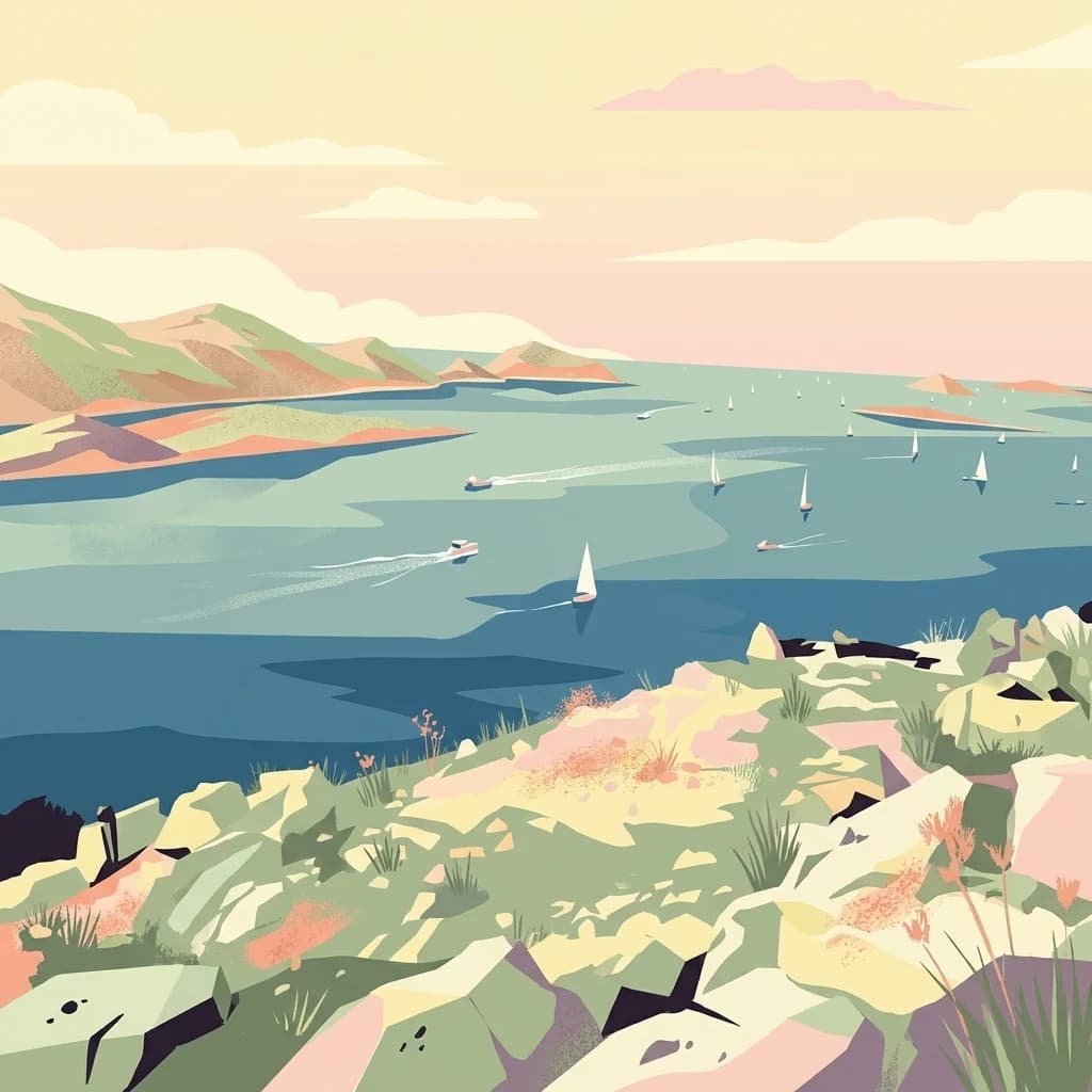
Northeast

Explore the mapped geography and unique protected island terrain.
Kornati Islands National Park, in Šibenik-Knin County, Croatia. Landscapes: islands, cliffs, and caves.
Northeast
Dugi Otok's Premier Nature Reserve on the Dalmatian Coast
Telašćica Nature Park safeguards a highly distinctive coastal environment on Croatia's Dugi Otok island. This protected area is defined by its imposing 161-meter-high vertical limestone cliffs, locally named 'stene,' which create a breathtaking interface with the Adriatic Sea. Within the park, the unique saltwater Lake Mir offers a fascinating geological feature, while the sheltered bay and its surrounding landscape showcase a rich Mediterranean flora and a complex archipelago. The park serves as a prime example of Adriatic karst landscape preservation and mapped coastal geography.
West

A transboundary conservation zone spanning 87,500 square kilometers.
Sanctuaire Pelagos represents a unique collaborative effort in marine conservation across the Mediterranean. Spanning the waters between France, Italy, and Monaco, this protected maritime area is defined by its deep-sea canyons and nutrient-rich currents that sustain diverse cetacean populations. Its immense scale and international governance make it a focal point for understanding Mediterranean marine biodiversity and environmental policy.
East
Mapped karst terrain, ancient architecture, and natural island geography.
Lastovo Nature Park, in Croatia. Landscapes: hills, islands, and caves.

West
Explore Tuscany's unique archipelago geography and protected natural terrain.
Arcipelago Toscano National Park, in Tuscany, Italy. Landscapes: mountains, cliffs, and islands.
Northwest
National Park within Forlì-Cesena Province, Emilia-Romagna
Foreste Casentinesi, Monte Falterona, Campigna National Park, in Forlì-Cesena Province, Italy. Landscapes: mountains, forests, and valleys.

Northeast
Explore the mapped protected landscape and karst geography.
Krka National Park, in Šibenik-Knin County, Croatia. Landscapes: rivers, waterfalls, and wetlands.
Southeast
Italy's largest national park and UNESCO Global Geopark
Pollino National Park, located in the Basilicata region, is a significant protected landscape renowned for its extensive ancient forests, particularly its rare Bosnian pines, and its dramatic, high-altitude mountain geography. Covering over 1,925 square kilometers, this national park is also recognized as a UNESCO Global Geopark, highlighting its exceptional geological heritage and unique ecosystems. The park's rugged terrain, soaring peaks, and rare ancient trees offer rich opportunities for understanding regional protected areas and mapped natural landscapes in southern Italy.
Geographic measurements, not driving distances
Calculated between the nearest points of both park boundaries.
Estimated from one mapped park location to the nearest boundary of the other park.
Estimated between the mapped locations of both parks.
Explore the map, landscapes, and protection details for Maiella National Park.