A rugged river-carved sanctuary of forests and rare wildlife in central Laos.
Nam Kading National Protected Area
Nam Kading National Protected Area is one of Laos's most rugged and remote protected landscapes, situated in Bolikhamsai Province in the central part of the country. The area spans roughly 1,570 to 1,690 square kilometres across parts of Paksan, Pakkading, Borikhane, and Khamkeut districts, with its declared boundary covering close to 1,600 square kilometres of forest and mountain terrain.
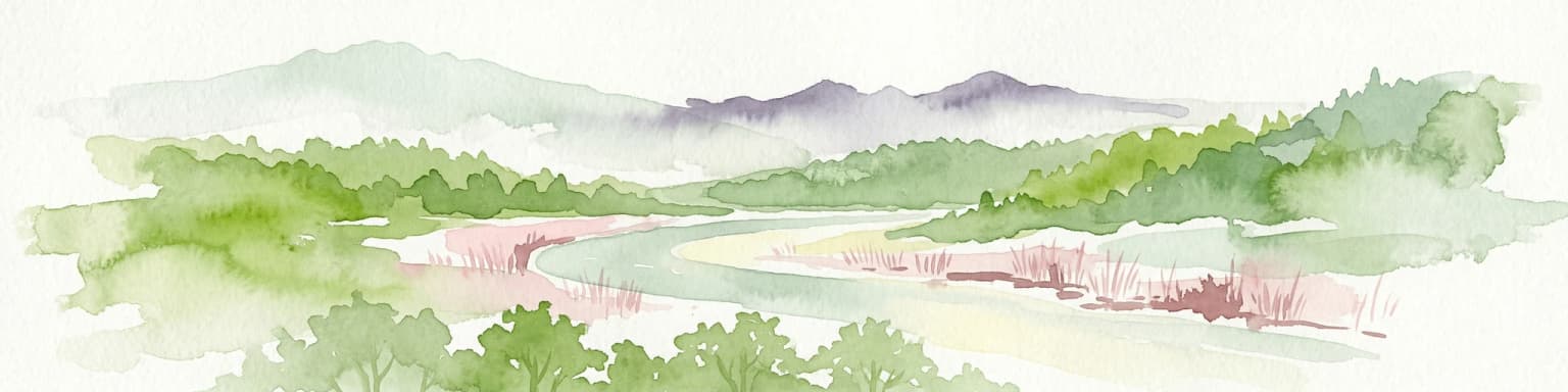
The protected area is shaped by the Nam Kading river, which flows from south to north through the heart of the park and is a major tributary of the Mekong. Three additional rivers, the Nam Muan, Nam Sat, and Nam Tek, slice the landscape into a series of forested mountain ranges. Elevations rise from river valley bottoms near 140 metres to the summit of Phou Pa Paek, the park's highest peak, at about 1,514 metres.
Nam Kading is ecologically significant for its largely intact native forests and its rich but fragile fauna, which includes endangered mammals, hornbills, and several regionally important bird species. Because the terrain is so rugged and inaccessible, the park has historically supported almost no permanent human settlement, helping preserve its wild character. At the same time, hydropower development along and within the park's watershed has emerged as the defining conservation challenge facing the area.