Mori Atlas logo
Nearby park discovery

Map protected geography around Hokkaido’s caldera lakes and volcanoes

Compare protected landscapes around Shikotsu-Tōya National Park across volcanic Hokkaido

Browse 20 protected destinations around Shikotsu-Tōya National Park's caldera lakes and thermal landscape. Daisetsuzan National Park is nearest at 151.2 km, Hidakasanmyaku-Erimo-Tokachi at 163.3 km and Towada-Hachimantai at 216.1 km, so the closest recorded peers still span substantial distances across Japan.

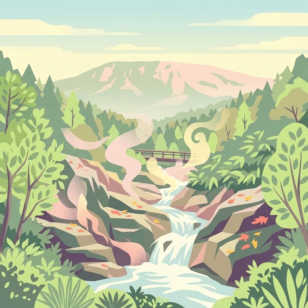
A stylized vector illustration of a steaming thermal stream flowing over rocky terrain, surrounded by lush forest and a mountain in the background.

Volcanic caldera lakes and thermal springs in southwestern Hokkaido

Shikotsu-Tōya National Park

Shikotsu-Tōya National Park is a protected area in the southwestern region of Hokkaido, Japan's northernmost main island. Established on May 16, 1949, the park encompasses approximately 994 square kilometers of diverse volcanic landscapes centered around two remarkable caldera lakes: Lake Shikotsu and Lake Tōya. The park's geography is defined by active volcanic formations, including Mount Yōtei, Mount Usu, Mount Tarumae, and Mount Eniwa, which shape both the terrain and the ecological character of the region. The park also incorporates popular hot spring resorts at Noboribetsu and Jozankei, making it a destination that combines natural preservation with thermal bathing culture. This combination of volcanic geology, lake ecosystems, forest habitats, and geothermal attractions makes Shikotsu-Tōya one of Hokkaido's most accessible and scientifically significant national parks.

Location
Japan
Park type
National park
Established
1949
Area
994.7 km²
Highest point
1,320 m
Shikotsu-Tōya National Park Protected Area
Regional park map

See the ranked park cluster in its geographic setting

Nearby parks around Shikotsu-Tōya National Park

This regional map shows the same 18 nearby parks ranked below around Shikotsu-Tōya National Park. Select a ranked marker to highlight that park’s boundary where boundary data is available.
Reference park: Shikotsu-Tōya National ParkRanked nearby park18 nearby parks shown
18 nearby parks

Geographic proximity, regional separation, and comparative environmental context

Ranked Protected Areas and Surrounding Parks Near Shikotsu-Tōya National Park

Browse parks near Shikotsu-Tōya National Park through distance-ranked spatial relationships and measured geographic separation. Evaluating surrounding protected areas reveals broader regional terrain patterns and diverse conservation landscapes across the territory.
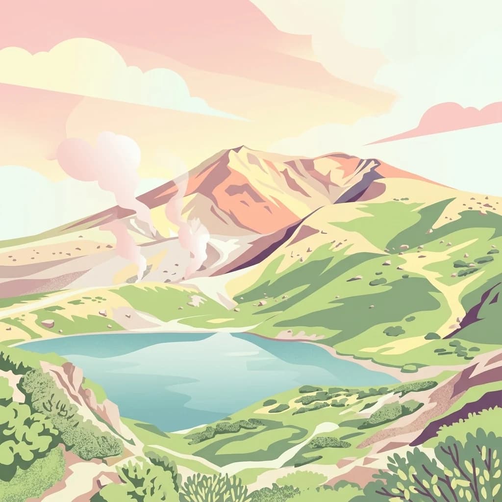
A stylized flat vector illustration of a volcanic mountain range in Daisetsuzan National Park featuring a central peak, steaming vents, a blue alpine lake in the foreground, and green hills under a soft pink and orange sky.
National parkJapan
About 151 km away#1 closest

Northeast

Daisetsuzan National Park

Explore Hokkaido's largest national park and its vast mountain terrain.

Daisetsuzan National Park, in Japan. Landscapes: mountains, volcanoes, and forests.

Area
2,267.64 km²
Established
1934
IUCN
II
Visitors
6M annual
Abstract watercolor painting with soft green and light blue hues on white background
National parkHokkaido
About 163 km away#2 closest

East

Hidakasanmyaku-Erimo-Tokachi National Park: Japan's Largest Protected Landscape Atlas

Volcanic peaks, coastal cliffs, and Hokkaido's expansive geography.

Hidakasanmyaku-Erimo-Tokachi National Park represents Japan's largest national park, offering a comprehensive exploration of its protected landscape. This vast area in Hokkaido combines the rugged topography of the Hidaka volcanic mountain range with the striking maritime environment of Cape Erimo. Users can explore detailed geographic contexts, understand the park's extensive boundaries, and appreciate its role as a crucial protected natural area at the intersection of alpine and coastal ecosystems.

Area
2,456.68 km²
Established
2024
IUCN
II
Relief
Mountain
A digital illustration of a winding river flowing through a lush mountain valley with green trees, rocky banks, and a soft sunset in the background.
National parkJapan
About 216 km away#3 closest

South

Towada-Hachimantai National Park: Mapping Japan's Volcanic and Alpine Protected Landscapes

Explore the geography of this northern Honshu national park.

Towada-Hachimantai National Park offers a unique atlas perspective on Japan's dynamic volcanic geology and alpine ecosystems. This national park protects a vast expanse of rugged terrain, featuring the iconic caldera of Lake Towada and the expansive volcanic plateaus of the Hachimantai region. Understanding its mapped boundaries reveals the distribution of its characteristic landscapes, from old-growth beech forests along river valleys to subalpine environments crowning volcanic peaks, providing a deep dive into its protected natural geography.

Area
855.34 km²
Established
1936
IUCN
II
Visitors
5.9M annual
A graphic illustration showing a prominent, craggy mountain peak with patches of snow under a soft sky, overlooking a layered green forest and rolling hills.
National parkHokkaido
About 282 km away#4 closest

North

Rishiri-Rebun-Sarobetsu National Park: Volcanic Islands and Coastal Wetlands of Northern Hokkaido

Explore its mapped geography and unique subarctic alpine flora.

Rishiri-Rebun-Sarobetsu National Park in Hokkaido, Japan, offers a unique exploration of dramatic volcanic islands and vital coastal wetland ecosystems. This protected area showcases striking geological formations, from the conical peaks of Rishiri and Rebun islands to the vast peat bogs of the Sarobetsu Plain. Its subarctic environment supports a rich tapestry of alpine flora, providing a distinct case study in protected landscape geography and mapping for the region.

Area
241.66 km²
Established
1974
IUCN
II
Visitors
730K annual
Watercolor painting of a wetland landscape with reeds, trees, and distant hills
National parkHokkaido
About 282 km away#5 closest

East

Kushiro-Shitsugen National Park

Explore the mapped terrain of eastern Hokkaido's vital peatlands.

Kushiro-Shitsugen National Park, in Hokkaido, Japan. Landscapes: wetlands, rivers, and lakes.

Area
268.61 km²
Established
1987
IUCN
II
Visitors
460K annual
A digital illustration showing a calm, deep blue lake surrounded by mountains at sunrise, framed by lush foliage and a bare tree branch in the foreground.
National parkHokkaido
About 284 km away#6 closest

East

Akan Mashu National Park

Mapped protected area boundaries and regional landscape context.

Akan Mashu National Park, in Hokkaido, Japan. Landscapes: mountains, forests, and lakes.

Area
914.13 km²
Established
1934
IUCN
V
Relief
Mountain
National parkTōhoku
About 347 km away#7 closest

South

Sanriku Fukkō National Park: National Park Protected Landscape and Regional Geography

Explore mapped boundaries and natural terrain in Tōhoku.

Sanriku Fukkō National Park serves as a pivotal protected area within the Tōhoku region, offering rich geographic detail for atlas exploration. This national park's identity is intrinsically linked to its mapped landscape and protected boundaries, providing valuable insights into northeastern Japan's natural terrain. Through its representation, users gain a structured understanding of the park's place within the regional geography, facilitating a deeper dive into protected land contexts.

Area
285.37 km²
Established
2013
IUCN
II
Relief
Lowland
A stylized vector illustration of a coastal mountain landscape featuring steep cliffs meeting the sea, green forested hills, a wooden fence in the foreground, and distant volcanic peaks at sunset.
National parkHokkaido
About 357 km away#8 closest

Northeast

Shiretoko National Park: Hokkaido's Protected Natural Landscape and Geography

Explore mapped boundaries and regional park context.

Shiretoko National Park, designated as a national park in Hokkaido, Japan, serves as a vital point for understanding regional geography and protected landscape exploration. This entry offers a structured view of the park's geographic scope, focusing on its mapped boundaries and natural terrain. Discover how Shiretoko National Park contributes to the broader atlas of conservation lands in the Hokkaido region, providing context for its unique ecological and geographic significance.

Area
386.36 km²
Established
1964
IUCN
II
Relief
Mountain
Watercolor painting showing a river flowing through a forested valley with mountains in the background
National parkPrimorsky Krai
About 492 km away#9 closest

Northwest

Bikin National Park

Old-growth forest wilderness in the Sikhote-Alin range

Bikin National Park, in Primorsky Krai, Russia. Landscapes: forests, rivers, and mountains.

Area
11,600 km²
Established
2015
IUCN
II
Relief
Mountain
An illustrative style print of a snow-topped mountain peak rising above a green forested valley with a calm lake and a hiking trail in the foreground.
National parkTōhoku region
About 549 km away#10 closest

South

Bandai-Asahi National Park

Explore protected landscapes and mapped terrain in Japan's Tōhoku region.

Bandai-Asahi National Park, in Japan. Landscapes: mountains, valleys, and plateaus.

Area
1,870.41 km²
Established
1950
IUCN
II
Visitors
7.1M annual
Watercolor painting of a valley landscape with a river, hills, trees, and a sky with sunrise colors
National parkPrimorsky Krai
About 557 km away#11 closest

West

Zov Tigra National Park: Geography and Protected Wilderness of the Sikhote-Alin Range

A rugged mountain landscape and critical conservation area in Primorsky Krai.

Zov Tigra National Park features a dramatic, forest-covered terrain within the southern Sikhote-Alin mountains. With peaks rising to 1,854 meters and deep river canyons, this protected area serves as a cornerstone for wildlife recovery and ecological monitoring in the region. Explore the topographical characteristics of this unique mountain habitat and its position in the broader Primorsky Krai geography.

Area
834 km²
Established
2007
IUCN
II
Relief
Mountain
Watercolor painting of a landscape featuring green forests, distant mountains, and a body of water in the foreground
National parkPrimorsky Krai
About 567 km away#12 closest

Northwest

Udegeyskaya Legenda National Park: National Park with Mapped Protected Boundaries

Explore Protected Landscape Geography in Primorsky Krai

Gain an atlas-level understanding of Udegeyskaya Legenda National Park, a designated national park situated in Russia's Primorsky Krai. This resource provides insights into the park's geographic setting and the extent of its protected landscape. It is designed for users interested in the mapped features and regional context of protected natural areas, offering a clear view of the park's role within its geographic domain.

Area
1,037 km²
Established
2007
IUCN
II
Relief
Mountain
Digital illustration of a tall, narrow waterfall cascading into a forested valley, framed by mountains in the distance and dense trees in the foreground.
National parkTochigi Prefecture
About 646 km away#13 closest

South

Nikkō National Park: Discover its Protected Landscape and Regional Geography

Explore mapped boundaries and natural terrain within Tochigi Prefecture.

Understand Nikkō National Park as a key protected area within the geography of Tochigi Prefecture. This dedicated page provides an atlas-style overview of its natural landscape, mapped contours, and significance. Users can gain insights into the park's protected status and its placement within Japan's diverse natural regions, fostering a deeper appreciation for its geographic context.

Area
1,149.08 km²
Established
1934
IUCN
II
Relief
Mountain
An illustration showing a wooden boardwalk stretching into the distance across a marshy wetland, with a prominent mountain in the background under a soft sunrise sky.
National parkKantō region
About 653 km away#14 closest

South

Oze National Park National Park: A Key Protected Landscape in the Kantō Region

Explore its mapped geography and protected area context.

Oze National Park is a designated national park in Japan's Kantō region, offering a prime example of a protected landscape. This page provides detailed insights into its geographic setting and mapped boundaries, contributing to a structured understanding of regional natural terrain. Users can delve into the park's specific identity as a conservation area and its significance within the broader atlas of Japanese geography and protected lands.

Area
372.22 km²
Established
2007
IUCN
V
Relief
Mixed relief
A flat-style digital illustration showing a mountain range overlooking a calm lake with several small sailboats on the water, surrounded by lush evergreen forests in the foreground.
National parkJapan
About 687 km away#15 closest

South

Myōkō-Togakushi Renzan National Park: Mapped Protected Landscape Geography in Japan

Explore the park's regional terrain and protected area context.

Delve into the geographic specificities of Myōkō-Togakushi Renzan National Park, a key protected landscape in Japan. This entry focuses on its mapped terrain, regional setting, and the atlas-value of understanding its protected boundaries. Gain clarity on the park's distinct natural geography and its contribution to the broader protected area network.

Area
397.72 km²
Established
2015
IUCN
II
Relief
Mountain
A digital illustration of a mountainous landscape with a pond, evergreen trees, and rolling hills under a setting sun.
National parkJapan
About 701 km away#16 closest

South

Jōshin'etsu-kōgen National Park: Protected Landscape and Regional Geography Atlas

Explore the mapped boundaries and geographic identity of this national park.

Jōshin'etsu-kōgen National Park represents a vital protected area within Japan, offering rich opportunities for geographic discovery through its mapped landscape. This entry provides detailed context on its protected boundaries and its relation to the surrounding regional geography, perfect for atlas-based exploration of natural terrains and conservation landscapes. Understand the unique geographic setting of this important national park.

Area
1,481.94 km²
Established
1949
IUCN
II
Relief
Mountain
Watercolor illustration showing mountains, a lake, and vegetation
National parkChūbu region
About 711 km away#17 closest

Southwest

Chūbu-Sangaku National Park

Rugged peaks, alpine valleys, and mapped geography.

Chūbu-Sangaku National Park, in Chūbu region, Japan. Landscapes: mountains and rivers.

Area
1,743.23 km²
Established
1934
IUCN
II
Relief
Mountain
Watercolor illustration of rolling green hills, scattered trees, and distant mountains under a pale sky.
National parkPrimorsky Krai
About 761 km away#18 closest

West

Land of the Leopard National Park

Atlas exploration of Russia's critical Amur leopard habitat.

Land of the Leopard National Park, in Primorsky Krai, Russia. Landscapes: forests, woodlands, and hills.

Area
2,799 km²
Established
2012
IUCN
II
Relief
Mixed relief
Distance methodology

Geographic measurements, not driving distances

How nearby park distances are calculated

Distances use park boundaries whenever the available geometry allows it. When one or both boundaries are missing, the mapped park locations provide a clearly labelled estimate. Every value represents straight-line geographic separation and does not use roads or routing.

Boundary distance

Calculated between the nearest points of both park boundaries.

Location-to-boundary estimate

Estimated from one mapped park location to the nearest boundary of the other park.

Mapped-location estimate

Estimated between the mapped locations of both parks.

MoriAtlas Explorer

Continue Exploring the Geography and Mapped Landscapes of Shikotsu-Tōya National Park

Deepen your understanding of Shikotsu-Tōya National Park by exploring its specific geographic context within Hokkaido and its detailed protected landscape features. This park offers a unique opportunity to study active volcanic terrain, caldera lake formations, and significant geothermal areas. Discovering more about Shikotsu-Tōya National Park allows for a richer appreciation of Japan's diverse protected lands and the geological forces that shape them.